The best walks and hikes around Etang De La Blisiere
4.4
(29)
152
hikers
18
hikes
Hiking around Etang De La Blisiere offers a network of trails primarily characterized by its tranquil lake environments and surrounding woodlands. The region, situated in Châteaubriant-Ancenis, features generally flat to gently undulating terrain, making it accessible for various hiking abilities. These routes often incorporate scenic paths along the water's edge and through rural landscapes, providing a calm outdoor experience.
Best hiking trails around Etang De La Blisiere
- The most popular hiking route is Pouancé Castle loop from Carbay, a…
Last updated: October 20, 2026
5.0
(1)
5
hikers
13.5km
03:31
100m
100m
Moderate hike. Good fitness required. Easily walkable paths.
2
hikers
11.9km
03:04
70m
70m
Moderate hike. Good fitness required. Easily walkable paths.

5.0
(1)
2
hikers
Moderate hike. Good fitness required. Easily walkable paths.
4.6
(8)
45
hikers
7.75km
02:00
40m
40m
Easy hike. Easily walkable paths.
4.7
(7)
25
hikers
13.8km
03:36
90m
90m
Moderate hike. Good fitness required. Easily walkable paths.
Get access to more routes and recommendations from other explorers.
Already have an account?
Our route recommendations are based on thousands of hikes, rides, and runs completed by other people on komoot.
Start today with a free account
Your next adventure awaits.



Tips from the Community

A much larger photo gallery with further images of this beautifully situated pond has been uploaded by various hikers at the highlight (corresponding to this sport). Their photos of the "Etang de St. Aubin" can be found via the following link =>> https://www.komoot.com/de-de/highlight/6116353/gallery
0
0


defended Anjou against the Marches of Brittany - besieged several times during the 100 Years' War
0
0

The Saint-Aubin pond, fed by the Verzée, is a pond located in the French commune of Pouancé, in the department of Maine-et-Loire. Probably before the 12th century, the Saint-Aubin pond, covering 42 hectares, is divided into the Saint-Aubin pond, the Saint-Jacques pond and the Pouancé pond. history : From the twelfth century, the priory of Madeleine had fishing tithe rights on the Pouancé ponds. At the beginning of the 13th century, the lord of Pouancé, William III, decided to establish a dike on the Verzée, thus creating the Pouancé pond, at the foot of the medieval castle[3]. A pier was built on the Saint-Aubin pond to allow the parishioners of Pouancé to access the parish church of Saint-Aubin de Pouancé. This levee is, however, often submerged[4]. In 1977, the commune of Pouancé developed the body of water into a nautical base by building a beach and a campsite nearby. source: https://fr.m.wikipedia.org/wiki/%C3%89tang_de_Saint-Aubin
0
0

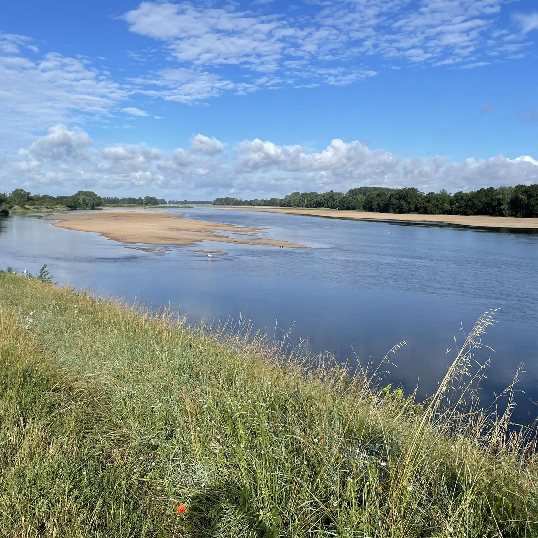
The Saint-Aubin pond offers a peaceful and natural landscape. This body of water, surrounded by lush greenery, is a haven for local species and migratory birds. Ideal for a stopover!
0
0
Pouancé Castle is a fortified castle, surrounded by a moat. It is characterized by imposing walls and round towers. Robust and majestic!
0
0

The Saint-Aubin pond is located within the grounds of a magnificent 19th century hunting lodge. It is surrounded by green nature which will only enhance your run.
2
0
Frequently Asked Questions
How many hiking trails are available around Etang De La Blisiere?
There are over 19 hiking trails around Etang De La Blisiere, offering a variety of options for different skill levels. You'll find 9 easy routes and 10 moderate routes to explore the tranquil lake environments and surrounding woodlands.
Are there any easy hikes suitable for beginners or families?
Yes, the region offers several easy hikes. A great option is the 7 Bell Towers Trail, which is 4.8 miles (7.8 km) long and features minimal elevation gain, making it perfect for a relaxed outing. The generally flat terrain around the lakes is well-suited for easy walks.
Are the hiking trails around Etang De La Blisiere suitable for dogs?
Many trails around Etang De La Blisiere are dog-friendly, especially those that follow the lake shores and woodland paths. It's always recommended to keep your dog on a leash, especially near wildlife or agricultural areas, and to check local signage for any specific restrictions.
What is the best time of year to go hiking in this area?
The best time to hike around Etang De La Blisiere is typically from spring through autumn (April to October). During these months, the weather is generally mild and pleasant, and the natural scenery, including the lakes and woodlands, is at its most vibrant. Winter hiking is possible, but some paths might be muddy, and facilities could be limited.
Are there any circular walks available?
Yes, circular walks are a popular feature of the region. For example, the Étang de Boisloup loop from Juigné-des-Moutiers is a moderate 7.4-mile (11.9 km) path that circles the lake, providing continuous scenic views. Another option is the Étang de la Blisière – Étang de Boisloup loop from Juigné-des-Moutiers, which connects two beautiful lakes.
Where can I find parking for the hiking trails?
Parking is generally available near the starting points of many trails, particularly in the villages or designated recreational areas close to the lakes. For routes like the Pouancé Castle loop from Carbay, you can often find parking in or near the town of Carbay or Pouancé. Always look for marked parking areas to ensure you're not obstructing local access.
What kind of scenery can I expect on the hikes?
Hikers can expect serene lake paths, quiet woodlands, and gentle rural trails. The landscape is characterized by tranquil lake environments and surrounding forests, with generally flat to gently undulating terrain. Many routes offer picturesque views of the water and the peaceful countryside.
Are there any historical sites or landmarks to see along the trails?
Yes, some routes incorporate historical elements. The Pouancé Castle loop from Carbay offers views of the historic Pouancé Castle, providing a cultural highlight amidst the natural beauty. Another route, the Pouancé Castle – Étang de Saint-Aubin loop from Pouancé, also features the castle and the Étang de Saint-Aubin.
What do other hikers enjoy most about hiking in Etang De La Blisiere?
The area is highly rated by the komoot community, with an average score of 4.4 stars from over 20 reviews. Reviewers often praise the tranquil lake environments, the peaceful woodland sections, and the accessibility of the trails for various abilities. The well-maintained paths and scenic views are frequently highlighted.
Are there any cafes or places to eat near the hiking trails?
While the immediate lakeside areas are primarily natural, you can find cafes and small eateries in the nearby towns and villages such as Juigné-des-Moutiers or Pouancé. These are good spots to refuel before or after your hike.
What should I bring for a hike at Etang De La Blisiere?
For hikes around Etang De La Blisiere, it's advisable to bring comfortable walking shoes, water, and snacks. Depending on the weather, a light jacket or rain gear might be useful. Sun protection (hat, sunscreen) is also recommended, especially on open sections along the lakes. A map or GPS device is always a good idea, though many trails are well-marked.
Are there any challenging hikes for experienced hikers?
The region primarily offers easy to moderate trails, with no routes officially classified as difficult. The longest moderate routes, such as the Pouancé Castle – Étang de Saint-Aubin loop from Pouancé (8.6 miles / 13.8 km), offer a good distance challenge, but the elevation gain remains relatively low, making them more about endurance than technical difficulty.
Most popular routes around Etang De La Blisiere

Get inspired with the komoot mobile app


Explore more
Browse the best Hikes in other regions.
