The best walks and hikes around La Cabrera
4.5
(541)
3,294
hikers
91
hikes
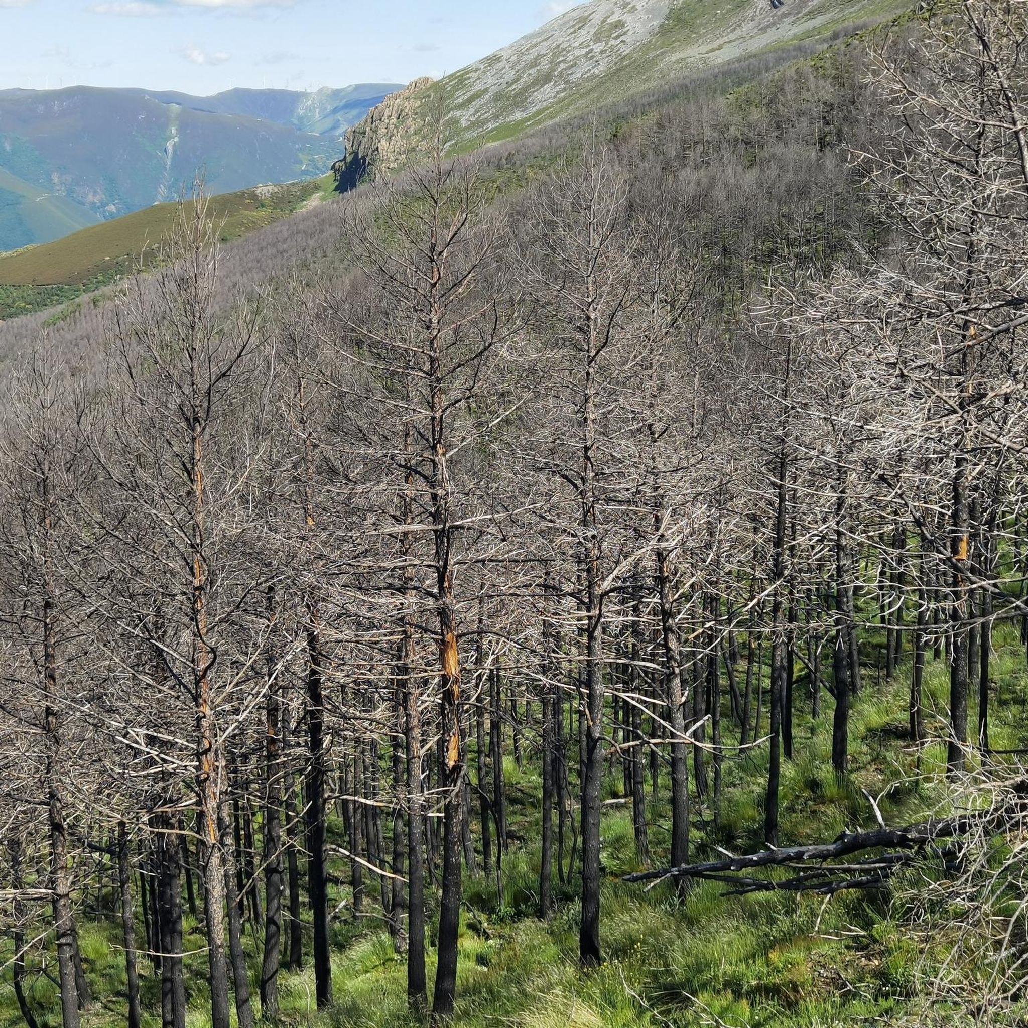
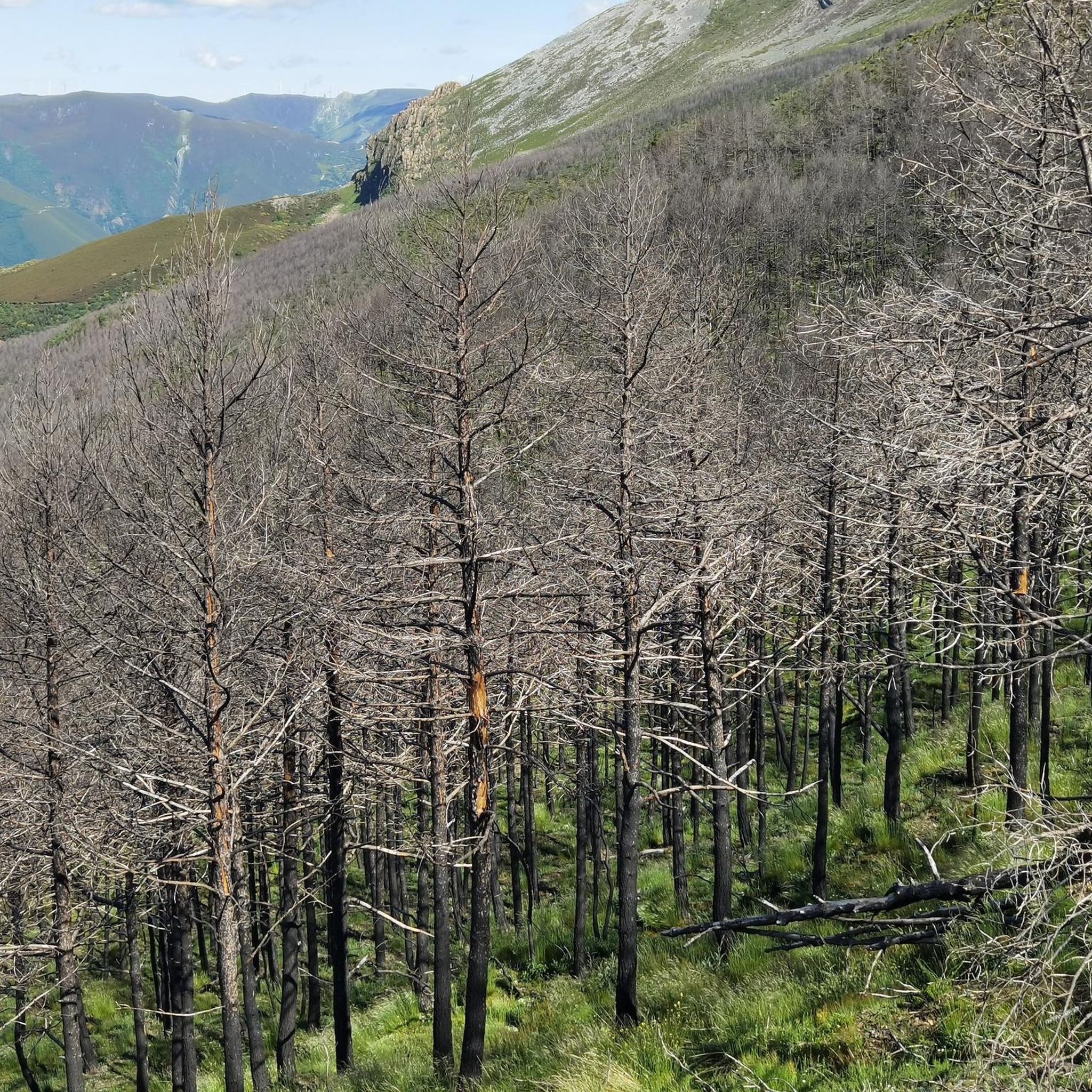
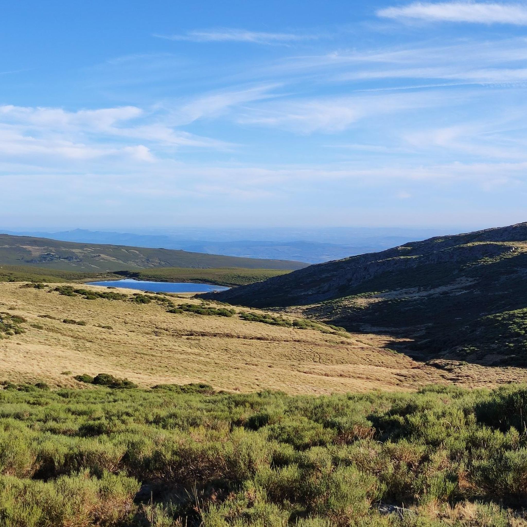
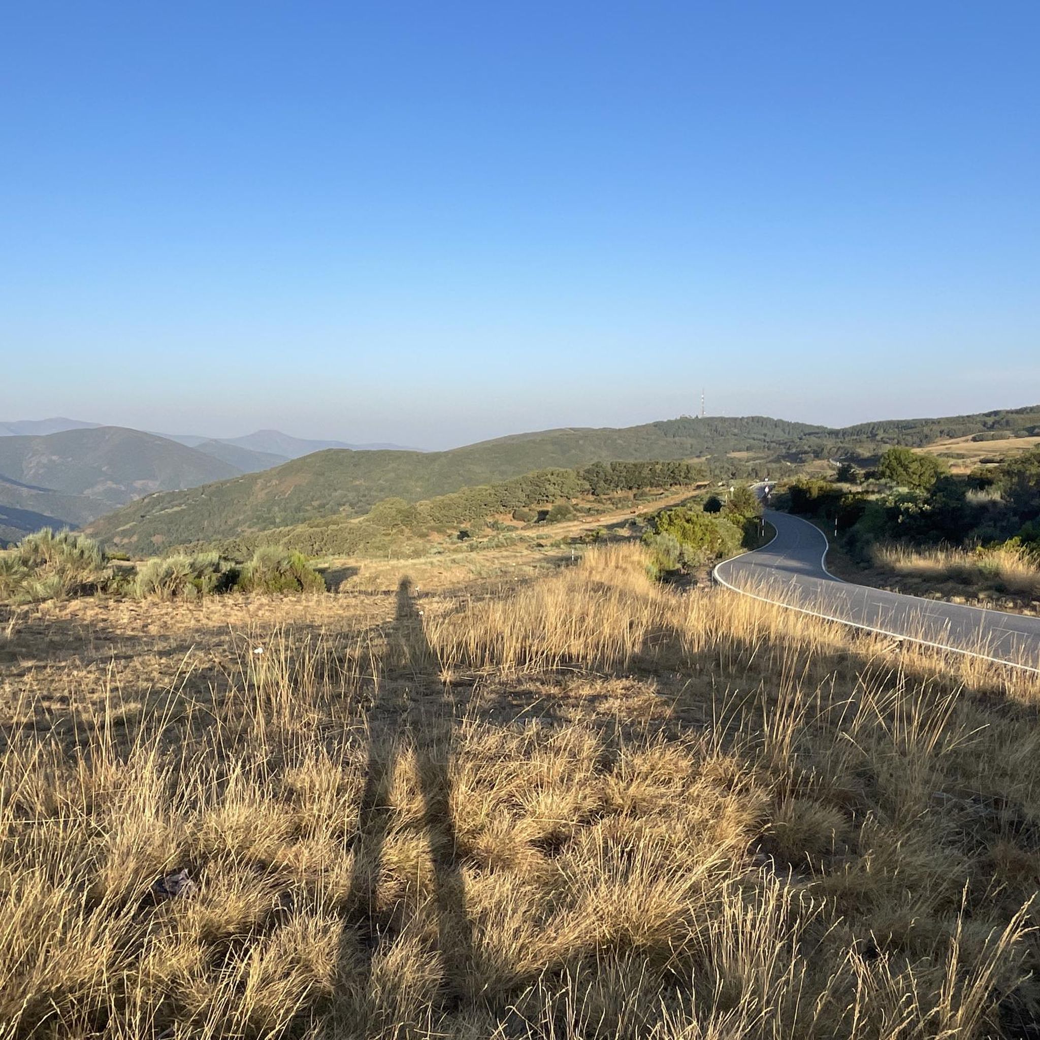
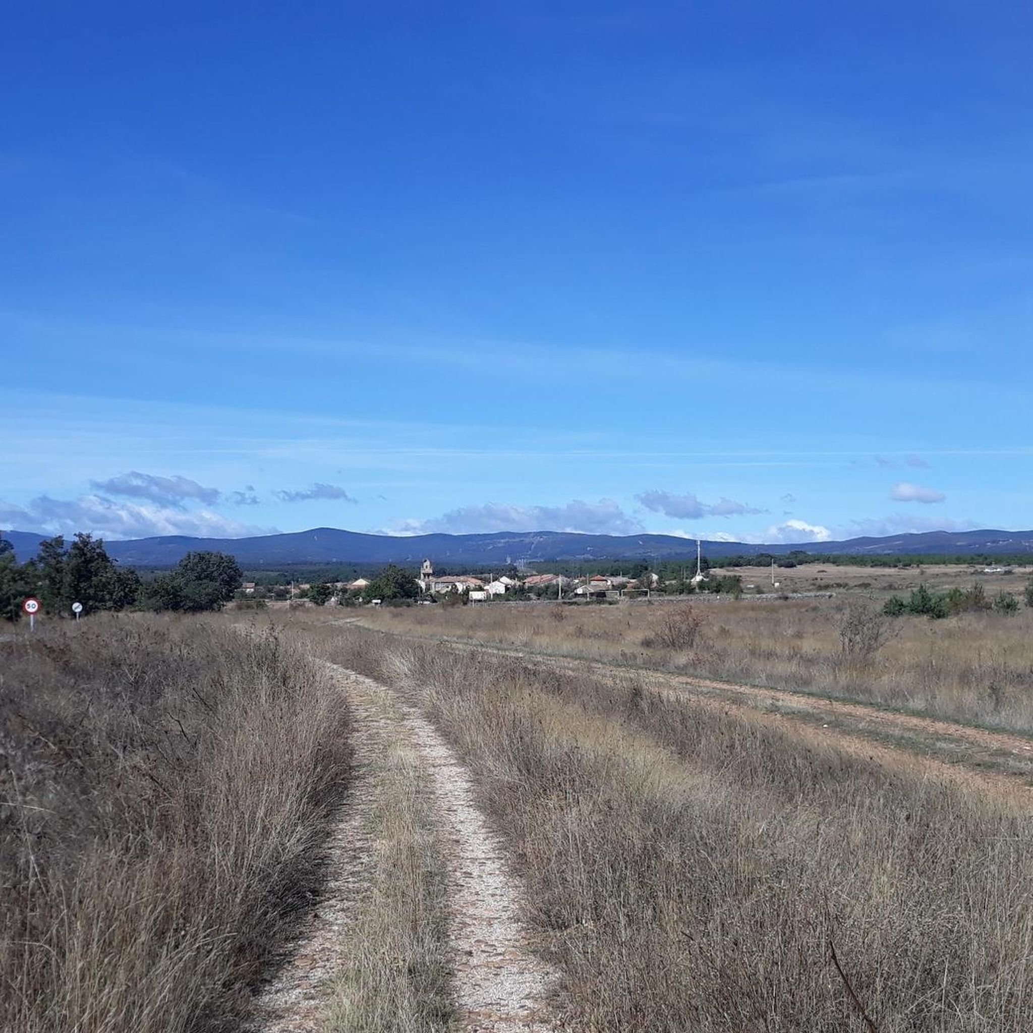
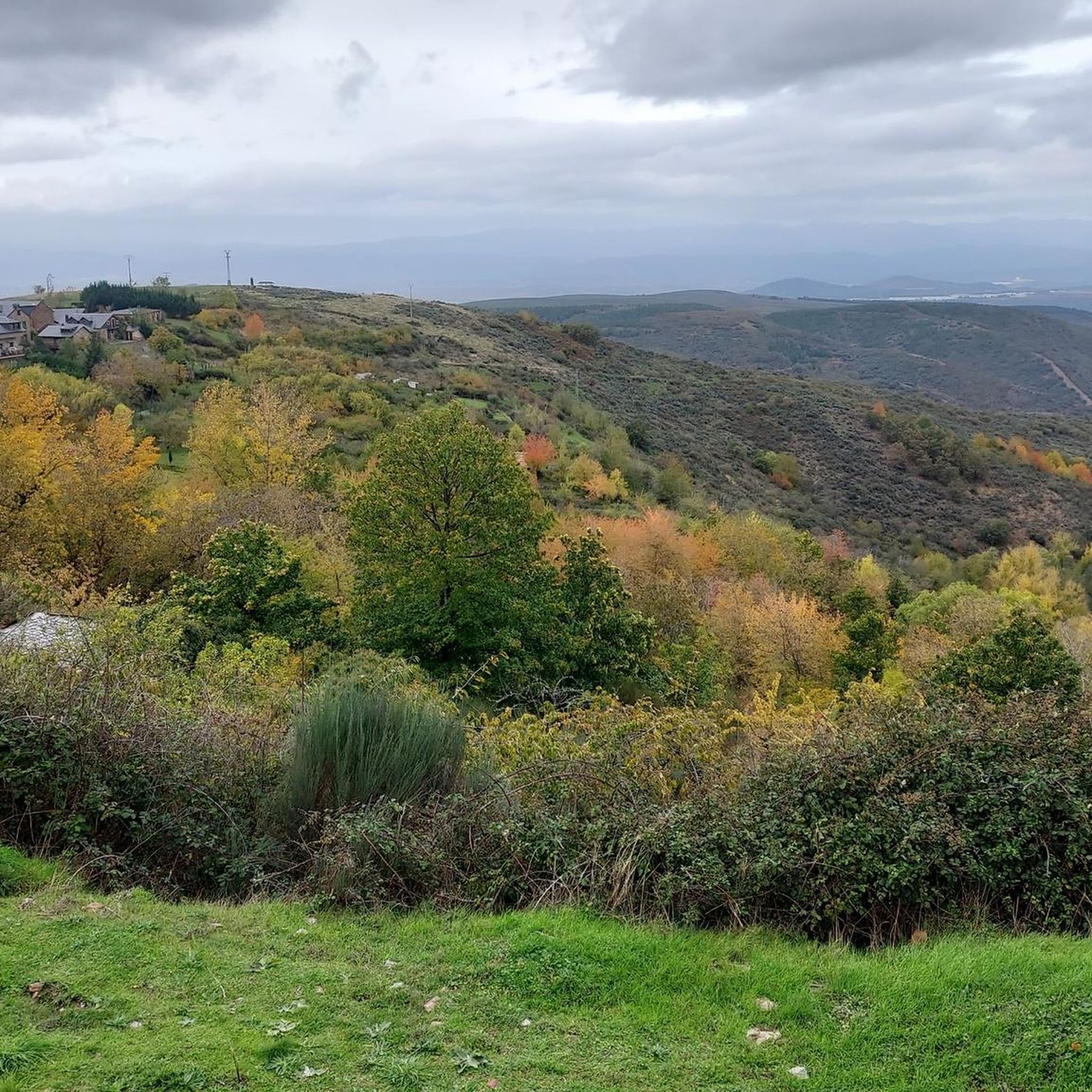
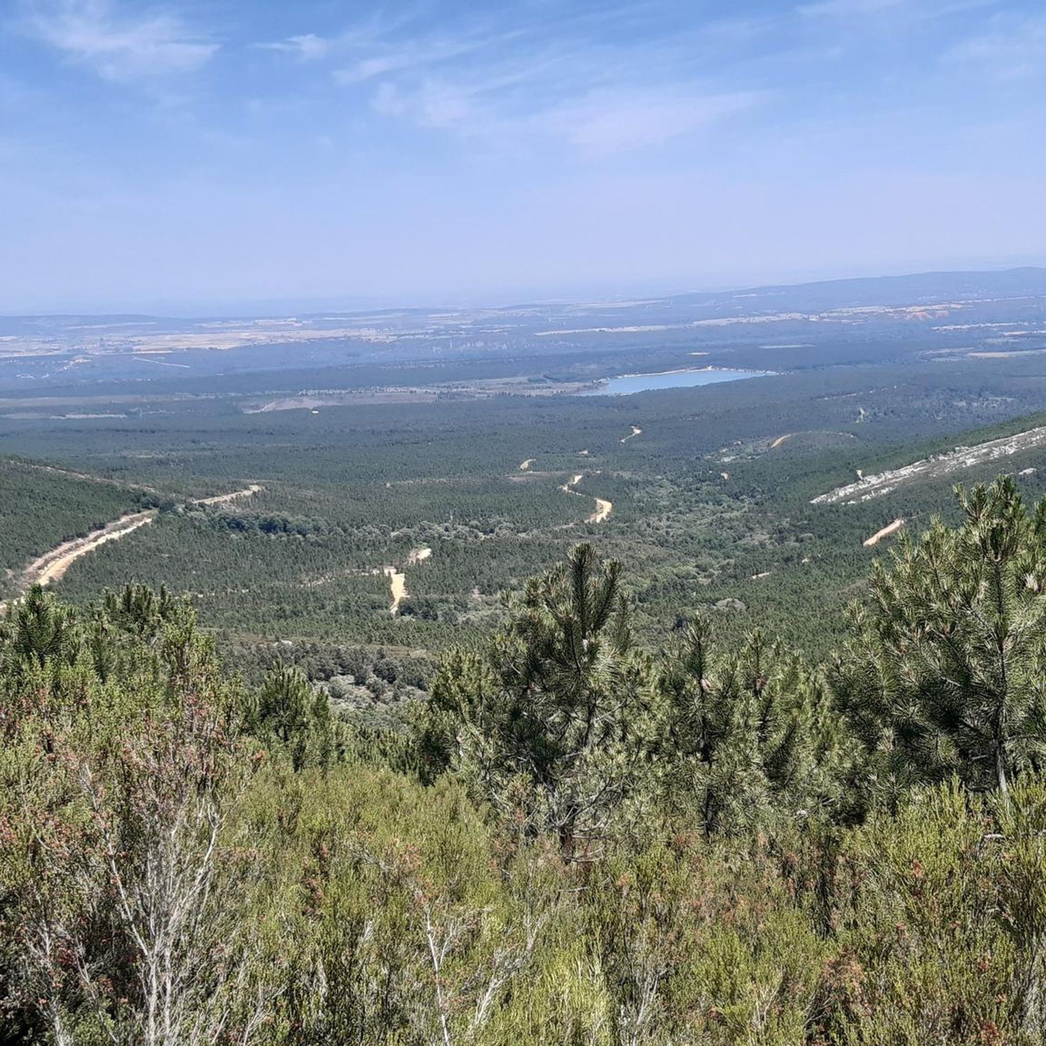
Hiking around La Cabrera offers diverse terrain within the León province, characterized by its mountainous landscapes and deep valleys. The region features a mix of rugged peaks, such as Pico Teleno, and serene natural lakes like Lago de Truchillas. Trails often traverse through forests and open areas, providing varied environments for outdoor activities. The elevation changes across the area contribute to a range of hiking experiences.
Best hiking trails in La Cabrera
- The most popular hiking route is Lago de…
Last updated: July 7, 2026
4.5
(2)
36
hikers
11.6km
04:17
540m
540m
Hike the moderate 7.2-mile Lago de Truchillas Trail, gaining 1785 feet to a glacial lake in 4 hours and 17 minutes.
28
hikers
16.9km
06:42
1,050m
1,050m
Hard hike. Very good fitness required. Mostly accessible paths. Sure-footedness required.

Sign up for free
5.0
(2)
6
hikers
12.8km
04:52
650m
650m
Hike 8.0 miles (12.8 km) through Montes Aquilianos to Cabeza de la Yegua, La Mayada, and Pico Tuerto, gaining 2119 feet (646 metres) in 4h 5
Hard hike. Very good fitness required. Easily-accessible paths. Suitable for all skill levels.
15.9km
04:13
160m
160m
Moderate hike. Good fitness required. Easily-accessible paths. Suitable for all skill levels.
5.0
(4)
33
hikers
17.6km
06:11
670m
670m
Hard hike. Very good fitness required. Mostly accessible paths. Sure-footedness required.
5.0
(1)
15
hikers
Moderate hike. Good fitness required. Mostly accessible paths. Sure-footedness required.
5.0
(1)
3
hikers
13.8km
04:22
560m
560m
Moderate hike. Good fitness required. Easily-accessible paths. Suitable for all skill levels.
3.0
(1)
7
hikers
17.3km
06:52
1,050m
1,050m
Hard hike. Very good fitness required. Mostly accessible paths. Sure-footedness required.
5.0
(1)
7
hikers
8.82km
03:58
830m
830m
Moderate hike. Good fitness required. Easily-accessible paths. Suitable for all skill levels.
Get access to more routes and recommendations from other explorers.
Sign up for free
Already have an account?
Our route recommendations are based on thousands of hikes, rides, and runs completed by other people on komoot.
Start today with a free account
Your next adventure awaits.
Login or Signup


Other adventures around La Cabrera

Tips from the Community

Pico Tuerto is a mountain located in the Montes Aquilianos, in the Bierzo region, offering spectacular views of the region, including Peñalba de Santiago and Ponferrada. It is a popular hiking destination, and one of the most popular routes begins at the Los Portillinos mountain pass. From there, you can ascend past other peaks such as Cabeza de la Yegua and Pico Morredero.
6
0
The bridge over the Truchillas River is a charming wooden bridge on the route to Truchillas Lake. This bridge allows you to cross the river and continue the path that runs parallel to the course of the Lago River, which originates from the waters of Truchillas Lake itself. The bridge is a highlight for hikers and nature lovers, as it offers a picturesque view of the natural surroundings and provides easy access to the beautiful hiking trails in the area. The route is well signposted and is ideal for enjoying a day outdoors surrounded by stunning scenery.
5
0
The surroundings of the lake are ideal for hiking and nature watching. The route to Lake Truchillas is approximately 7 kilometres long and offers spectacular views of the Eria River valley and the typical vegetation of the area, such as heather and juniper. In addition, it is possible to spot diverse fauna, including deer, wild boar and birds of prey such as the golden eagle.
4
0

Now the hill begins…
0
0

The summit of Galicia, with very good 360º views
0
0
If you decide to explore this route, you will be surrounded by nature and stunning views. Enjoy your hike! 🏞️🚶♂️🥾🚵🌞
1
0
If you decide to explore this route, you will be surrounded by nature and stunning views. Enjoy your hike! 🏞️🚶♂️🥾🚵🌞
1
0

The joyful view of the ruins of the Virgin of La Guayana Hermitage delights you when you reach the Aquiana peak at 1846 meters above sea level. This hike can be difficult in winter and rainy season, as snow covers most of the trail. Be sure to check the conditions before you leave.
2
0
Frequently Asked Questions
How many hiking trails are there in La Cabrera?
La Cabrera offers a wide variety of hiking experiences, with over 90 trails available. These include 21 easy routes, 49 moderate excursions, and 23 challenging ascents, catering to all ability levels.
Are there any easy hiking trails suitable for beginners in La Cabrera?
Yes, La Cabrera has 21 easy hiking routes perfect for beginners or those looking for a relaxed walk. While specific easy routes are not detailed here, you can find many options on komoot that explore the region's gentle valleys and lower slopes.
What is the best time of year to go hiking in La Cabrera?
The best time for hiking in La Cabrera is generally from late spring to early autumn (May to October). During these months, the weather is typically mild, and trails are clear of snow, offering pleasant conditions to explore the mountainous landscapes and glacial lakes. Winter hiking is possible but requires appropriate gear due to snow and colder temperatures.
Are there any circular hiking routes in La Cabrera?
Yes, La Cabrera features several circular routes. For example, the Nogarejas from Pinilla de la Valdería — circular by the Castillo de Nogarejas offers a challenging 14.4-mile (23.2 km) loop. Another option is the Tabuyo del Monte — circular by the Embalse de Valtabuyo, a moderate 9.9-mile (15.9 km) route.
Can I bring my dog on the hiking trails in La Cabrera?
Many trails in La Cabrera are dog-friendly, allowing you to enjoy the natural beauty with your canine companion. However, it's always recommended to keep dogs on a leash, especially in areas with livestock or protected wildlife. Please check specific trail regulations before you go.
Are there any waterfalls to see along the hiking trails?
Yes, you can discover beautiful natural features like waterfalls in the region. The Gualtón Waterfall loop from Prada de la Sierra is a moderate 8.6-mile (13.8 km) trail specifically designed to lead you to a stunning waterfall.
What kind of landmarks or attractions can I find near the hiking routes?
La Cabrera is rich in natural and historical landmarks. You can explore mountain passes like Puerto de Fonte da Cova or visit religious buildings such as the Ermita Virgen de la Guiana. The region also features charming villages like Truchas Village and historical sites like Castrocontrigo Castle.
Is there public transport available to reach hiking trailheads in La Cabrera?
Public transport options to reach specific trailheads in the rural and mountainous region of La Cabrera can be limited. It is generally advisable to travel by car for greater flexibility. However, some larger villages might have bus connections; it's best to check local schedules for specific routes and destinations.
Where can I park my car when hiking in La Cabrera?
Parking is typically available in or near the villages that serve as starting points for many trails. For popular routes, designated parking areas might be present. Always ensure you park responsibly and do not obstruct local access or private property.
What do other hikers enjoy most about hiking in La Cabrera?
The hiking trails in La Cabrera are highly rated by the komoot community, with an average score of 4.4 stars from over 500 reviews. Hikers often praise the diverse terrain, from rugged peaks to serene glacial lakes, and the expansive views offered by routes like Pico Teleno from Filiel.
Are there any cafes or places to eat near the hiking trails?
While the trails themselves are often remote, you can find cafes and restaurants in the villages scattered throughout La Cabrera, such as Truchas or Filiel. These establishments offer opportunities to refuel before or after your hike, providing local cuisine and refreshments.
Are there any hidden gem hikes in La Cabrera?
La Cabrera, with its extensive network of trails, offers many opportunities to discover less-trafficked paths. While not explicitly named as 'hidden gems,' exploring some of the less popular routes among the 90+ available, such as the Teleno Summit loop from Molinaferrera, can lead to unique and quieter experiences away from the main crowds.
Most popular routes around La Cabrera
Most popular attractions around La Cabrera

Get inspired with the komoot mobile app


Didn’t find what you were looking for?
Check out more Hikes throughout La Cabrera below and find the perfect route in your destination.
Explore more
Browse the best Hikes in other regions.
