The best walks and hikes around Fuente De San Esteban
4.6
(34)
255
hikers
25
hikes
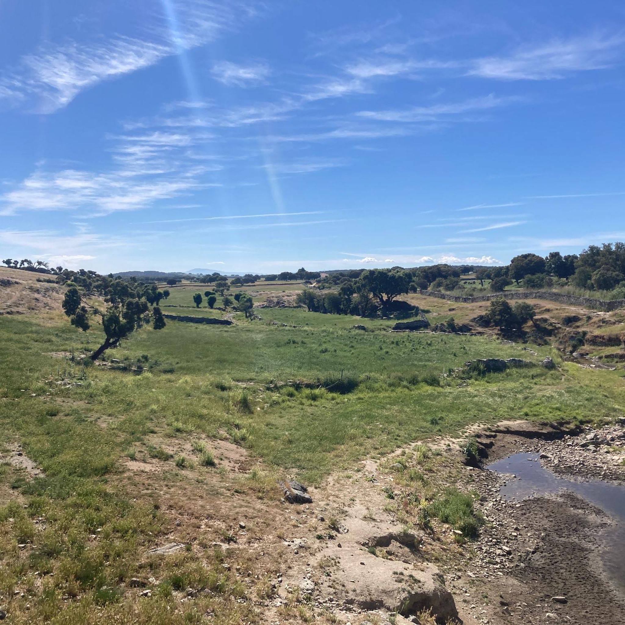
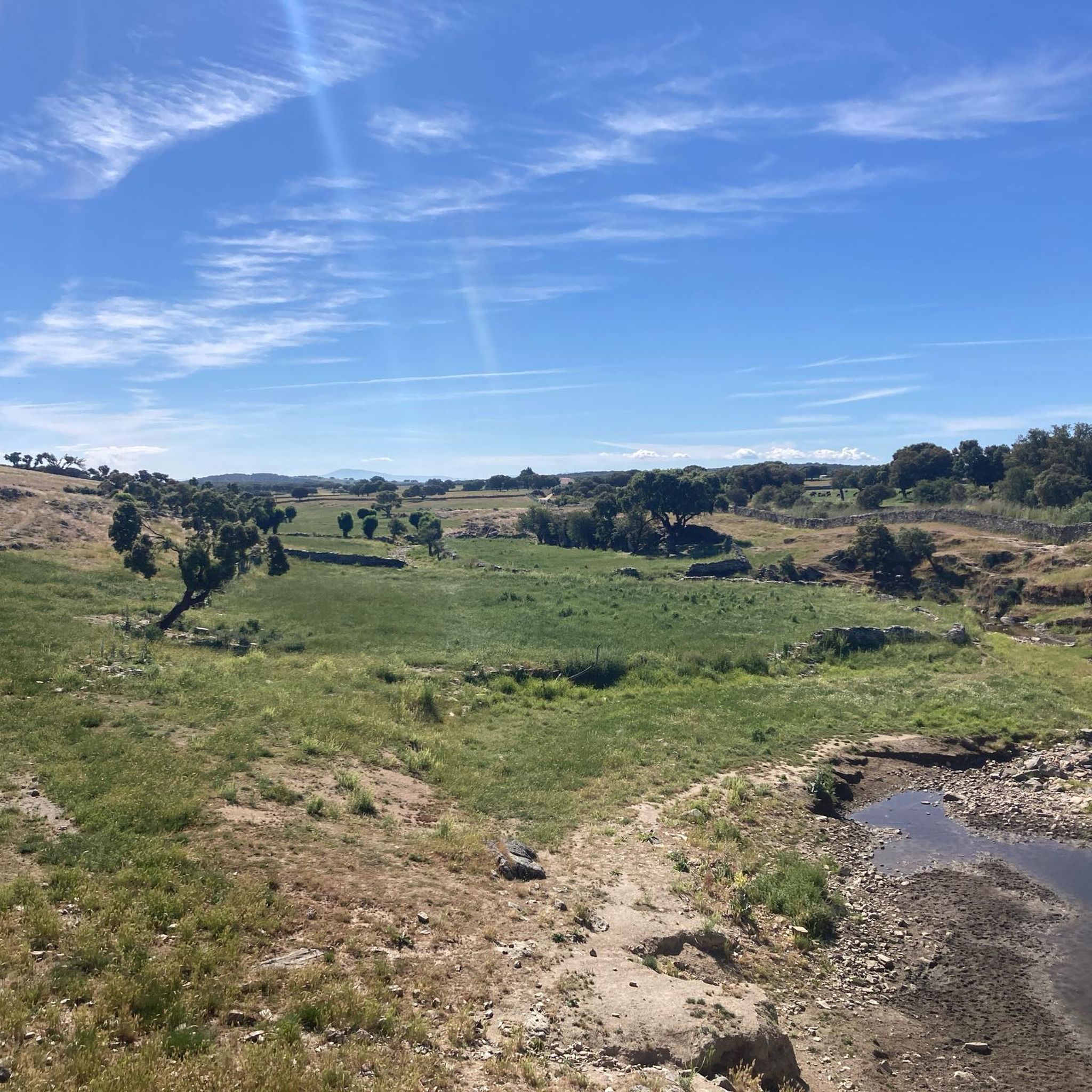
Hiking around Fuente De San Esteban offers exploration of the Campo Charro region in Salamanca, characterized by its dehesa landscapes. This area features gently undulating terrain dotted with holm oaks and oak trees, interspersed with streams and ponds. Hikers can also encounter unique rock formations and historical elements like ancient castle ruins and hermitages. The trails provide expansive views across the picturesque countryside.
Best hiking trails around Fuente De San Esteban
- The most popular hiking route is Maillo - Peña…
Last updated: July 13, 2026
24
hikers
Moderate hike. Good fitness required. Easily-accessible paths. Suitable for all skill levels.
5.0
(1)
14
hikers
15.5km
05:46
700m
690m
Hard hike. Very good fitness required. Sure-footedness, sturdy shoes and alpine experience required.

Sign up for free
1
hikers
4.06km
01:07
70m
70m
Easy hike. Great for any fitness level. Easily-accessible paths. Suitable for all skill levels.
25
hikers
7.59km
02:11
190m
190m
Moderate hike. Good fitness required. Easily-accessible paths. Suitable for all skill levels.
4.5
(6)
30
hikers
18.9km
05:28
500m
500m
Hard hike. Very good fitness required. Easily-accessible paths. Suitable for all skill levels.
5.0
(1)
14
hikers
14.9km
05:40
710m
710m
Hard hike. Very good fitness required. Sure-footedness, sturdy shoes and alpine experience required.
5
hikers
Moderate hike. Good fitness required. Easily-accessible paths. Suitable for all skill levels.
3
hikers
6.17km
01:39
70m
70m
Easy hike. Great for any fitness level. Easily-accessible paths. Suitable for all skill levels.
3
hikers
10.9km
02:57
150m
150m
Moderate hike. Good fitness required. Easily-accessible paths. Suitable for all skill levels.
5.0
(1)
3
hikers
10.5km
02:55
180m
180m
Moderate hike. Good fitness required. Easily-accessible paths. Suitable for all skill levels.
Get access to more routes and recommendations from other explorers.
Sign up for free
Already have an account?
Our route recommendations are based on thousands of hikes, rides, and runs completed by other people on komoot.
Start today with a free account
Your next adventure awaits.
Login or Signup
Popular around Fuente De San Esteban

Hiking around Barbalos

Hiking around Puebla De Yeltes
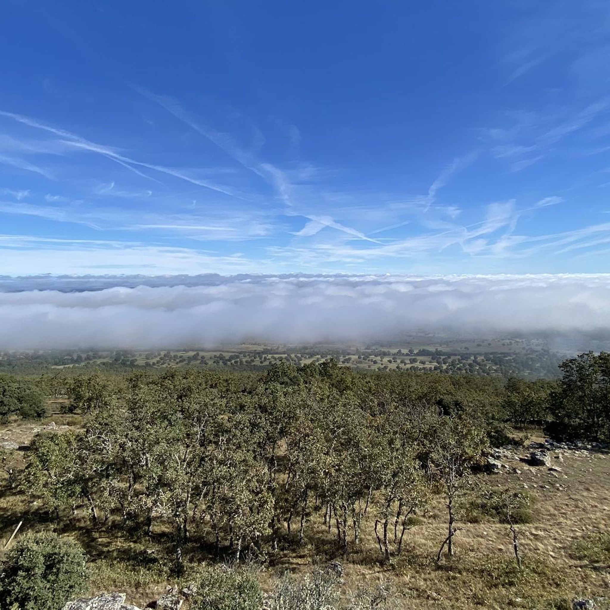
Hiking around Narros De Matalayegua
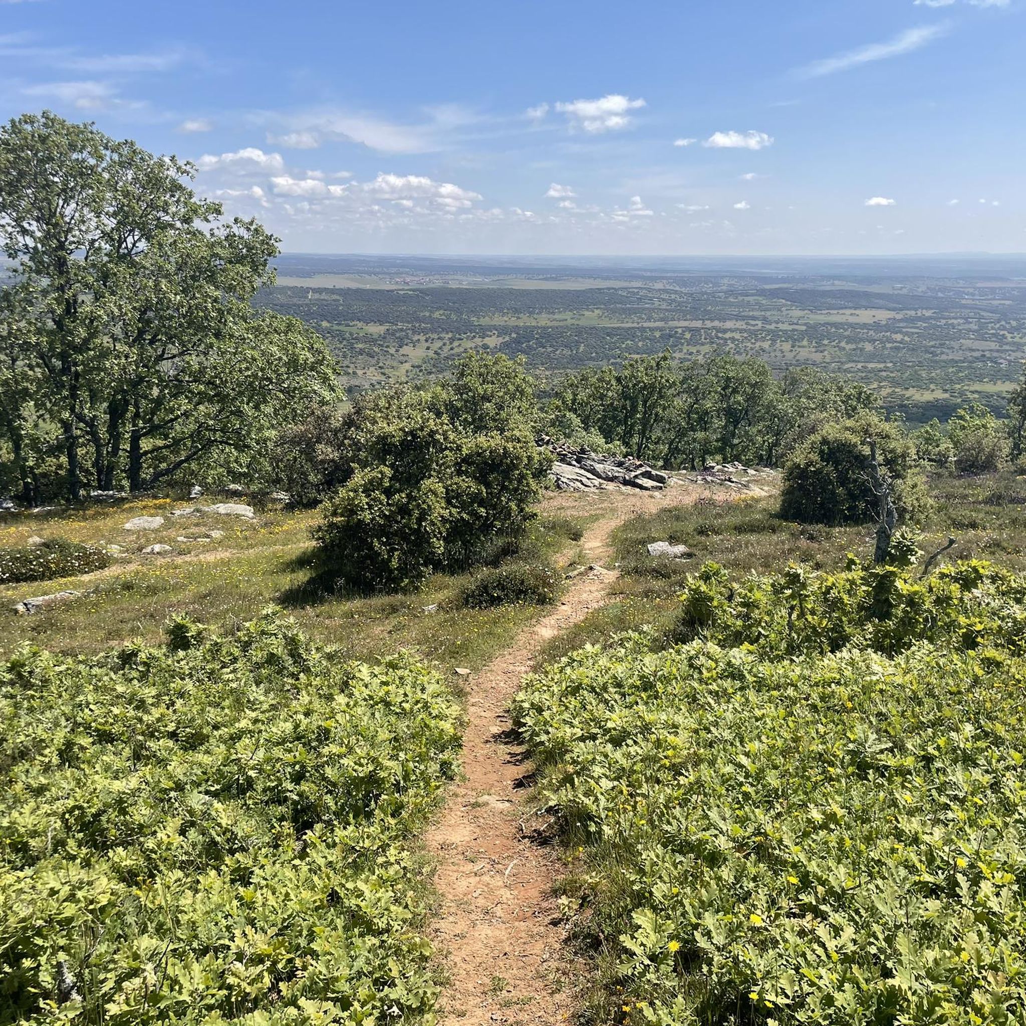
Hiking around Tamames
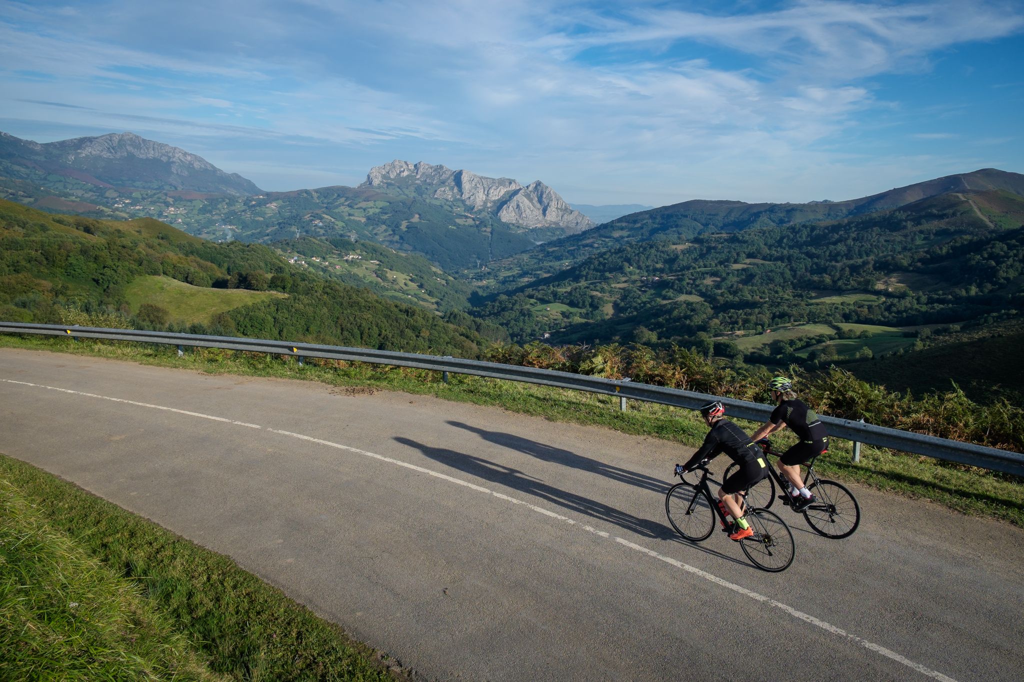
Explore Spain’s monuments and landscapes – cycle the Via de la Plata
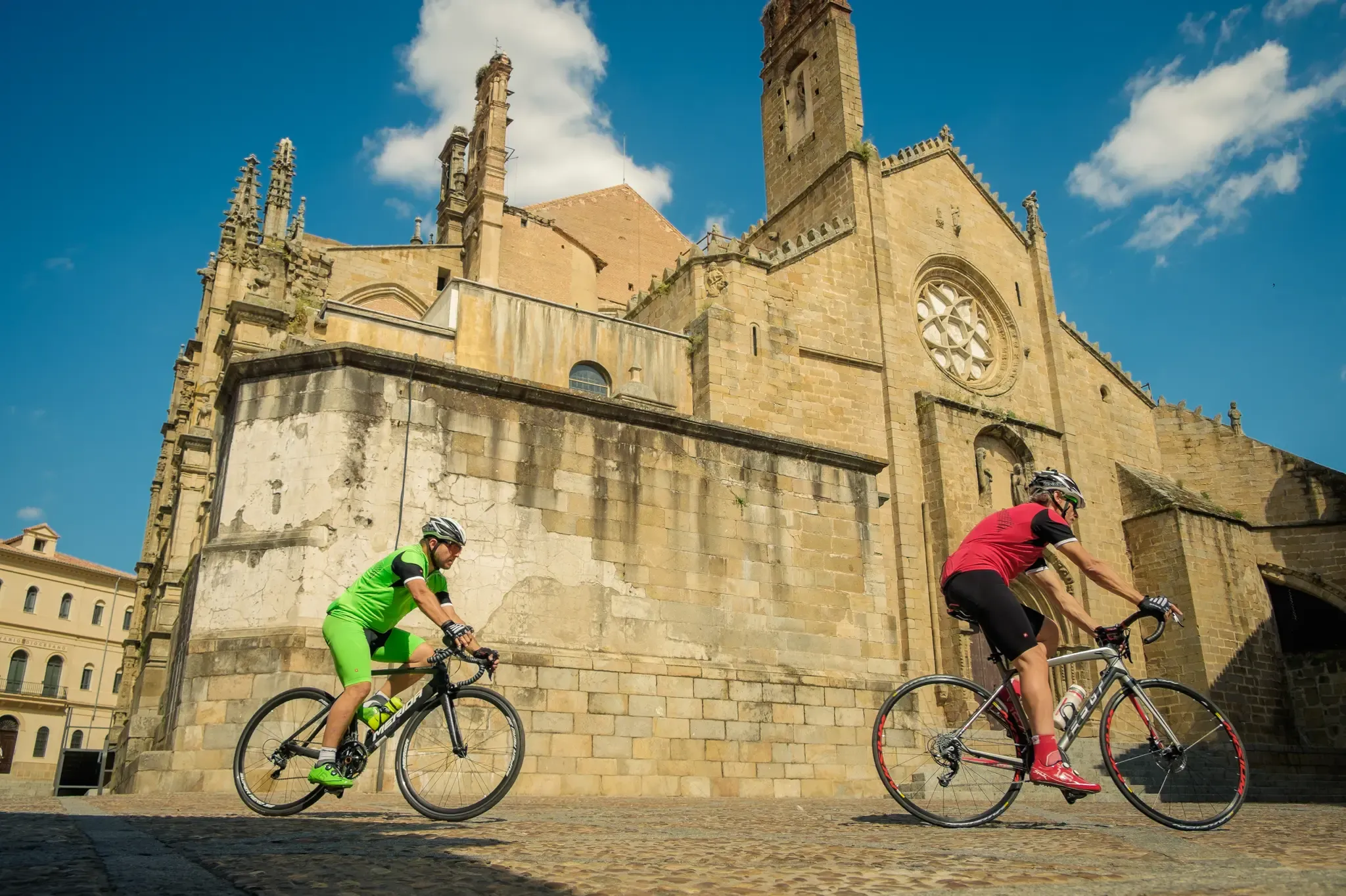
Vía de la Plata – from Seville to Gijón by bike
MTB Trails around Fuente De San Esteban
Cycling around Fuente De San Esteban
Road Cycling Routes around Fuente De San Esteban
Running Trails around Fuente De San Esteban


Tips from the Community

Beautiful top with views and a restaurant run by modern monks.
0
0
Really such a top that stands out with over 1700 meters, offering a beautiful view all around.
12
0

Located between the municipalities of Navarredonda de la Rinconada and Escurial de la Sierra, in the Sierra de Francia-Quilamas region. A protected natural area within the Natura 2000 network, with oak and chestnut forests and wildlife such as the golden eagle and griffon vulture.
5
0
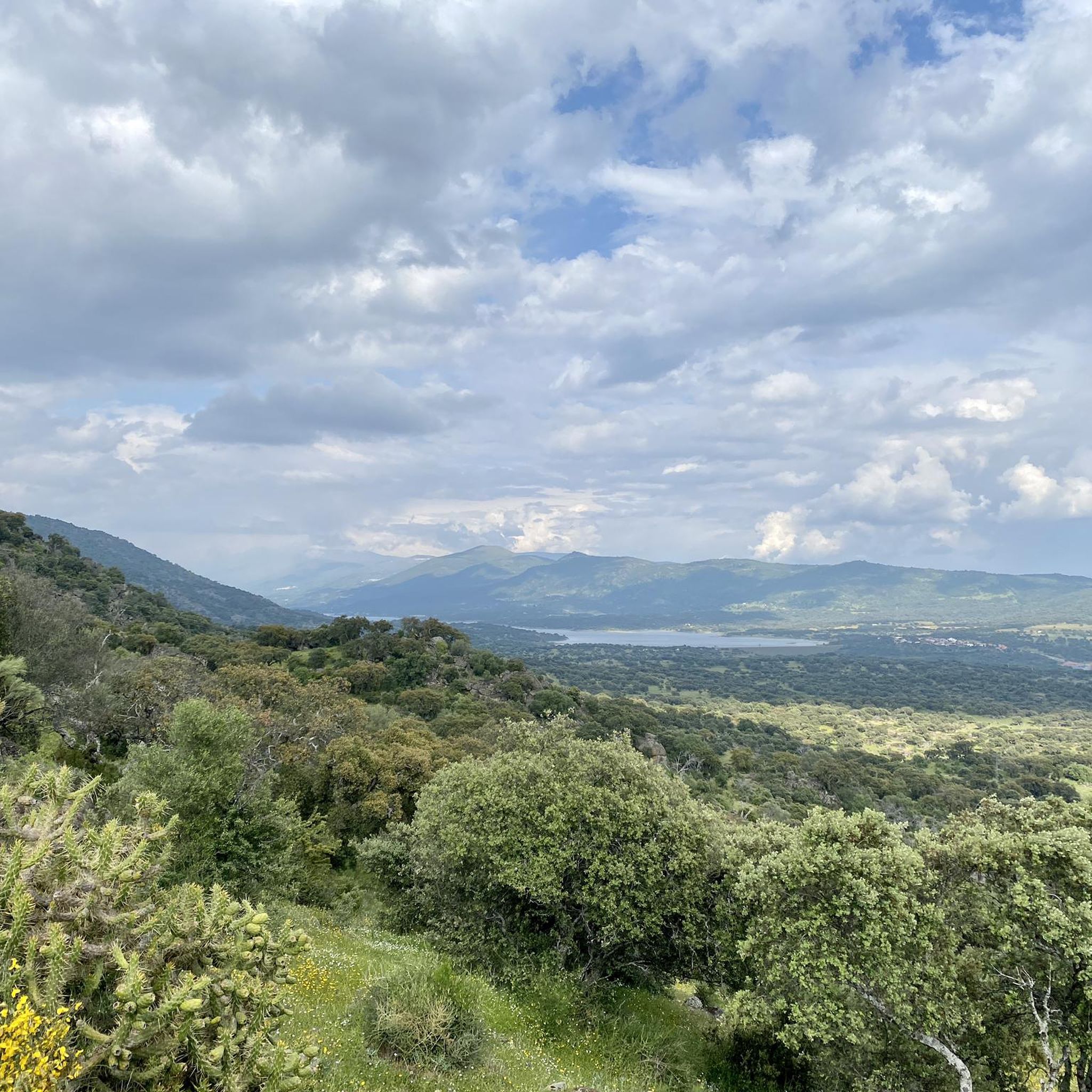
It offers spectacular views over the Sierra de Francia, the Sierra de Béjar, the Campo Charro region, northern Cáceres, and even the Serra da Estrela in Portugal. You can drive up via the SA-203 road (from La Alberca or El Cabaco), although it is often closed due to snow in winter. There are also hiking trails, such as the GR-10, starting from La Alberca.
5
0
La Peña de Francia is one of the most emblematic places in the province of Salamanca, located in the Las Batuecas-Sierra de Francia Natural Park, within the municipality of El Cabaco, about 81 km from Salamanca and near La Alberca.
4
0

Small and large milestones that are found along the way.
0
0
They are called 'Murias' in Asturias and León, the piles of barren stones that are piled up on one side, after the gold has been extracted.
0
0
Ancient Roman mining reservoir. You can see the artificial containment dam.
0
0
Frequently Asked Questions
How many hiking trails are available around Fuente De San Esteban?
There are nearly 20 hiking trails around Fuente De San Esteban, offering a diverse range of experiences through the characteristic dehesa landscapes of the Campo Charro region. These routes cater to various skill levels, from easy walks to more challenging ascents.
Are there easy hiking trails suitable for beginners in Fuente De San Esteban?
Yes, Fuente De San Esteban offers several easy hiking trails perfect for beginners or those seeking a relaxed walk. For instance, the Castillo de Santa Cruz – circular from Navagallega is an easy 2.5-mile (4.1 km) path that leads through open countryside to historical castle ruins, typically completed in just over an hour.
What kind of landscapes can I expect to see while hiking in Fuente De San Esteban?
Hiking in Fuente De San Esteban immerses you in the unique dehesa landscapes of the Campo Charro. You'll traverse gently undulating terrain dotted with holm oaks and oak trees, interspersed with streams and ponds. The area also features intriguing rock formations that add a geological interest, along with expansive views across the picturesque countryside.
Are there any circular hiking routes in the area?
Yes, many trails around Fuente De San Esteban are circular, allowing you to start and end at the same point. An example is the Sendero de las Honfrías - circular from Linares de Riofrío, a moderate 4.5-mile (7.2 km) route through the Espacio Natural de las Quilamas.
What are some notable landmarks or attractions to see along the trails?
The trails often interweave with historical and natural points of interest. You can explore the ruins of Santa Cruz de Navagallega Castle, which offers beautiful vistas. The region is also known for its distinctive Dehesa Pastures and Rock Formations, providing unique geological and scenic highlights.
What do other hikers say about the trails in Fuente De San Esteban?
The hiking routes in Fuente De San Esteban are highly regarded by the komoot community, boasting an average rating of 4.7 stars from nearly 30 reviews. Hikers frequently praise the serene dehesa landscapes, the variety of terrain, and the opportunity to discover historical elements along the paths.
Is Fuente De San Esteban suitable for family-friendly hikes?
Absolutely. The region offers several easy and moderate trails that are well-suited for families. These routes often feature gentle terrain and shorter distances, allowing for an enjoyable outdoor experience for all ages amidst the beautiful dehesa scenery.
What is the best time of year to go hiking in Fuente De San Esteban?
The best time to hike in Fuente De San Esteban is typically during spring and autumn. These seasons offer pleasant temperatures, lush green landscapes, and comfortable conditions for exploring the dehesa and its unique rock formations. Summer can be hot, while winter might bring colder weather, though trails remain accessible.
Are there any challenging hikes for experienced trekkers?
Yes, for experienced trekkers seeking a challenge, Fuente De San Esteban has more demanding options. The Maillo - Peña de Francia Trail is a difficult 9.7-mile (15.5 km) route with significant elevation gain, taking nearly six hours to complete through varied and rugged terrain.
Can I find trails that offer panoramic views?
Many trails in Fuente De San Esteban provide rewarding panoramic views, especially those that ascend to higher points or pass through open countryside. The overall gentle undulations of the Campo Charro ensure expansive vistas of the characteristic dehesa, holm oaks, and distant horizons.
Are there options for longer hikes in the area?
Yes, if you're looking for longer excursions, routes like the Pico Cervero – circular from Navarredonda de la Rinconada offer a substantial experience. This moderate 9.2-mile (14.7 km) path leads through the natural landscapes of the Espacio Natural de las Quilamas, providing extensive exploration of the region.
Most popular routes around Fuente De San Esteban
Most popular attractions around Fuente De San Esteban

Get inspired with the komoot mobile app


Didn’t find what you were looking for?
Check out more Hikes throughout Fuente De San Esteban below and find the perfect route in your destination.
Explore more
Browse the best Hikes in other regions.
