Easy hikes and walks around Fuente De San Esteban
4.5
(39)
252
hikers
27
hikes
Easy hiking trails around Fuente De San Esteban traverse the gently undulating terrain of the Campo Charro region in Salamanca. The landscape is characterized by traditional wooded pastures known as dehesas, featuring scattered holm oaks and cork oaks, alongside streams and unique rock formations. Many routes explore the Espacio Natural de las Quilamas, an area known for its distinctive dehesa scenery. The region's average altitude is approximately 770 meters above sea level.
Best easy hiking trails around Fuente De San…
Last updated: October 30, 2026
1
hikers
4.06km
01:07
70m
70m
Easy hike. Easily walkable paths.
5.0
(1)
7
hikers
4.51km
01:21
150m
150m
Easy hike. Easily walkable paths.

3
hikers
6.17km
01:39
70m
70m
Easy hike. Easily walkable paths.
5.0
(2)
5
hikers
2.36km
00:37
20m
20m
Easy hike. Easily walkable paths.
3
hikers
3.10km
00:49
30m
30m
Easy hike. Easily walkable paths.
5.0
(1)
2
hikers
3.51km
00:55
30m
30m
Easy hike. Easily walkable paths.
1
hikers
3.97km
01:11
130m
130m
Easy hike. Easily walkable paths.
2
hikers
2.24km
00:36
30m
30m
Easy hike. Easily walkable paths.
Get access to more routes and recommendations from other explorers.
Already have an account?
Our route recommendations are based on thousands of hikes, rides, and runs completed by other people on komoot.
Start today with a free account
Your next adventure awaits.
Popular around Fuente De San Esteban
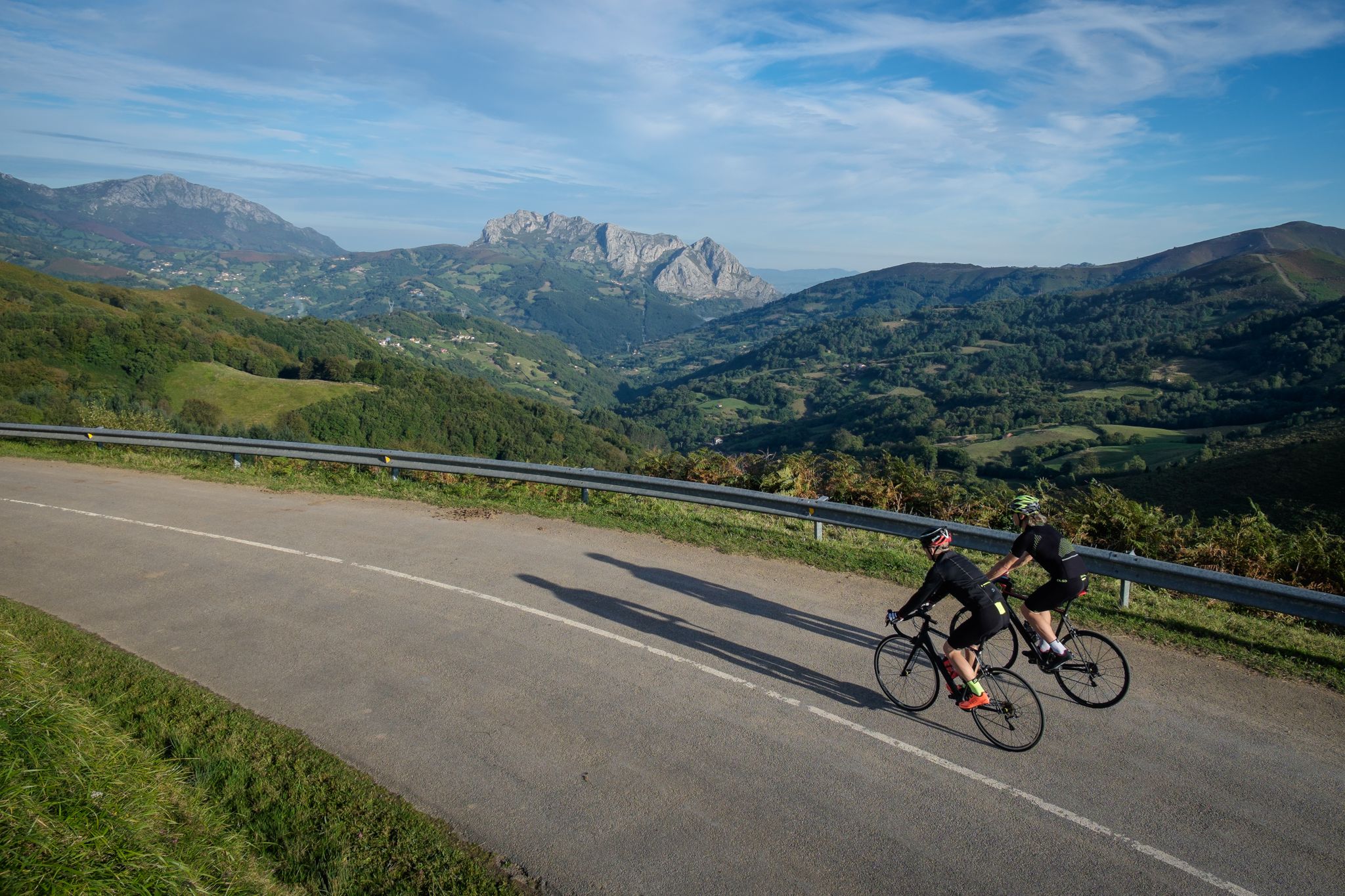
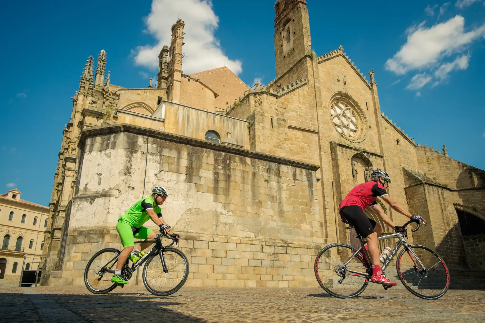
Other adventures around Fuente De San Esteban


Tips from the Community

Located between the municipalities of Navarredonda de la Rinconada and Escurial de la Sierra, in the Sierra de Francia-Quilamas region. A protected natural area within the Natura 2000 network, with oak and chestnut forests and wildlife such as the golden eagle and griffon vulture.
6
0

Small and large milestones that are found along the way.
0
0
They are called 'Murias' in Asturias and León, the piles of barren stones that are piled up on one side, after the gold has been extracted.
0
0
Cavén is the local name given to the gullies or hollows produced in the land by mining exploitation.
0
0
Pick marks in the rock made by Roman miners.
0
0
Old Roman establishment that served the mine. In ancient maps (planimetry) this place was known as El Tejar.
0
0
From this point, you can follow a path that goes up to La Peña de Francia.
0
0
Hole left in the ground after mining extraction.
0
0
Frequently Asked Questions
How many easy hiking trails are available in Fuente De San Esteban?
There are 7 easy hiking trails specifically curated for a relaxed experience around Fuente De San Esteban. In total, the region offers 25 diverse routes for various skill levels.
What kind of landscape can I expect on easy hikes around Fuente De San Esteban?
Easy hikes in Fuente De San Esteban primarily traverse the beautiful 'Campo Charro' region, characterized by gently undulating terrain. You'll often find yourself walking through traditional wooded pastures known as dehesas, dotted with holm oaks and cork oaks, alongside streams. Keep an eye out for unique rock formations that add to the scenic charm.
Are there any easy circular walks in the area?
Yes, many of the easy trails are circular, offering convenient starting and ending points. For example, you could explore the Castillo de Santa Cruz – circular from Navagallega, which is just over 4 km, or the La Honfría Recreation Area loop from Linares de Riofrío.
What do other hikers say about the easy trails here?
The hiking trails around Fuente De San Esteban are highly regarded by the komoot community, with an average rating of 4.6 stars. Hikers often praise the tranquil dehesa landscapes, the well-maintained paths, and the opportunity to discover historical elements along the way.
Are the easy hiking trails in Fuente De San Esteban suitable for families with children?
Absolutely! Many easy trails are perfect for families. They typically feature gentle slopes and shorter distances, making them enjoyable for all ages. The Ancient Chestnut Trees loop from El Casarito is a short and pleasant option, ideal for a family outing.
Can I bring my dog on the easy trails?
Generally, dogs are welcome on trails in the Fuente De San Esteban region. However, it's always best to keep them on a leash, especially when passing through agricultural areas or near livestock, and to ensure you clean up after them. Always check local signage for any specific restrictions.
Are there options for short, easy walks under 2 hours?
Yes, several easy routes can be completed in under two hours. The Ancient Chestnut Trees loop from El Casarito takes just over 30 minutes, and the Tomé’s Figures loop from Camping Sierra de Francia can be finished in about 35 minutes, offering quick and refreshing outings.
What historical or natural landmarks can I see on an easy hike?
You can discover several interesting points of interest. The Castillo de Santa Cruz – circular from Navagallega leads to the ruins of the Santa Cruz de Navagallega Castle. You might also encounter the distinctive Dehesa Pastures and Rock Formations, which are a natural highlight of the region.
What is the best time of year to enjoy easy hikes in Fuente De San Esteban?
Spring (April-May) and Autumn (September-October) are generally the best times for easy hikes. The weather is mild, and the landscapes are particularly beautiful, with blooming wildflowers in spring and vibrant colors in autumn. Summer can be quite warm, so early mornings or late afternoons are recommended if hiking during those months.
Is parking available near the trailheads for easy hikes?
Yes, for many of the easy trails, you'll find convenient parking options near the starting points, especially in or near the villages. It's always a good idea to check the specific route details on komoot for recommended parking locations.
Are there any easy trails that pass by unique natural features?
Many easy trails showcase the region's unique natural features. The Cavén of Fuente de la Mora – Roman Settlement loop from El Cabaco, for instance, takes you through characteristic dehesa landscapes and offers glimpses of the area's geological formations. The entire region is known for its distinctive dehesas and scattered rock formations.
Can I access any of the easy trails using public transport?
While some villages in the region are served by local bus routes, direct public transport access to specific trailheads can be limited. It's advisable to check local bus schedules in advance if you plan to rely on public transport. Many visitors prefer to use a car to reach the starting points of the trails for greater flexibility.
Most popular routes around Fuente De San Esteban
Most popular attractions around Fuente De San Esteban

Get inspired with the komoot mobile app


Explore more
Browse the best Hikes in other regions.
