The best road cycling routes in St. Lawrence County
4.9
(6)
292
riders
14
rides
Road cycling routes in St. Lawrence County traverse a varied landscape in northern New York, bordered by the St. Lawrence River to the north and extending into the Adirondack Park foothills to the south. The region features 75 miles of the St. Lawrence River, offering routes along its banks and through adjacent farmlands. Terrain includes rolling hills and forested areas, with numerous rivers, ponds, and lakes such as the Raquette and Grasse Rivers. Cyclists can find routes through pastoral farmland…
Last updated: October 1, 2026
5.0
(2)
98
riders
58.0km
02:21
220m
220m
Moderate road ride. Good fitness required. Some segments of this route may be unpaved and difficult to ride.
5.0
(1)
59
riders
Moderate road ride. Good fitness required. Some segments of this route may be unpaved and difficult to ride.

14
riders
25.4km
01:05
110m
110m
Moderate road ride. Great for any fitness level. Some segments of this route may be unpaved and difficult to ride.
8
riders
33.5km
01:23
140m
140m
Moderate road ride. Great for any fitness level. Some segments of this route may be unpaved and difficult to ride.
5.0
(1)
7
riders
Easy road ride. Great for any fitness level. Mostly well-paved surfaces and easy to ride.
6
riders
Moderate road ride. Good fitness required. Mostly well-paved surfaces and easy to ride.
4.5
(2)
8
riders
43.6km
01:53
250m
250m
Easy road ride. Great for any fitness level. Mostly well-paved surfaces and easy to ride.
5.0
(1)
65
riders
Moderate road ride. Good fitness required. Some segments of this route may be unpaved and difficult to ride.
4
riders
33.7km
01:24
180m
180m
Easy road ride. Great for any fitness level. Mostly well-paved surfaces and easy to ride.
4
riders
23.3km
01:01
150m
150m
Easy road ride. Great for any fitness level. Mostly well-paved surfaces and easy to ride.
Get access to more routes and recommendations from other explorers.
Already have an account?
Our route recommendations are based on thousands of hikes, rides, and runs completed by other people on komoot.
Start today with a free account
Your next adventure awaits.
Popular around St. Lawrence County



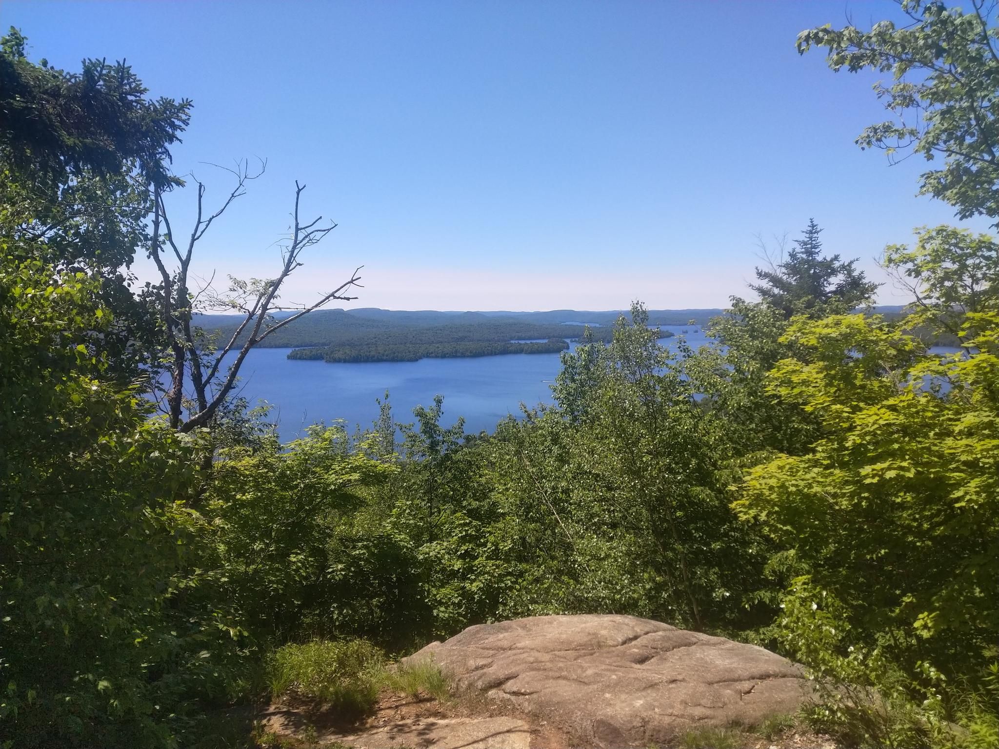
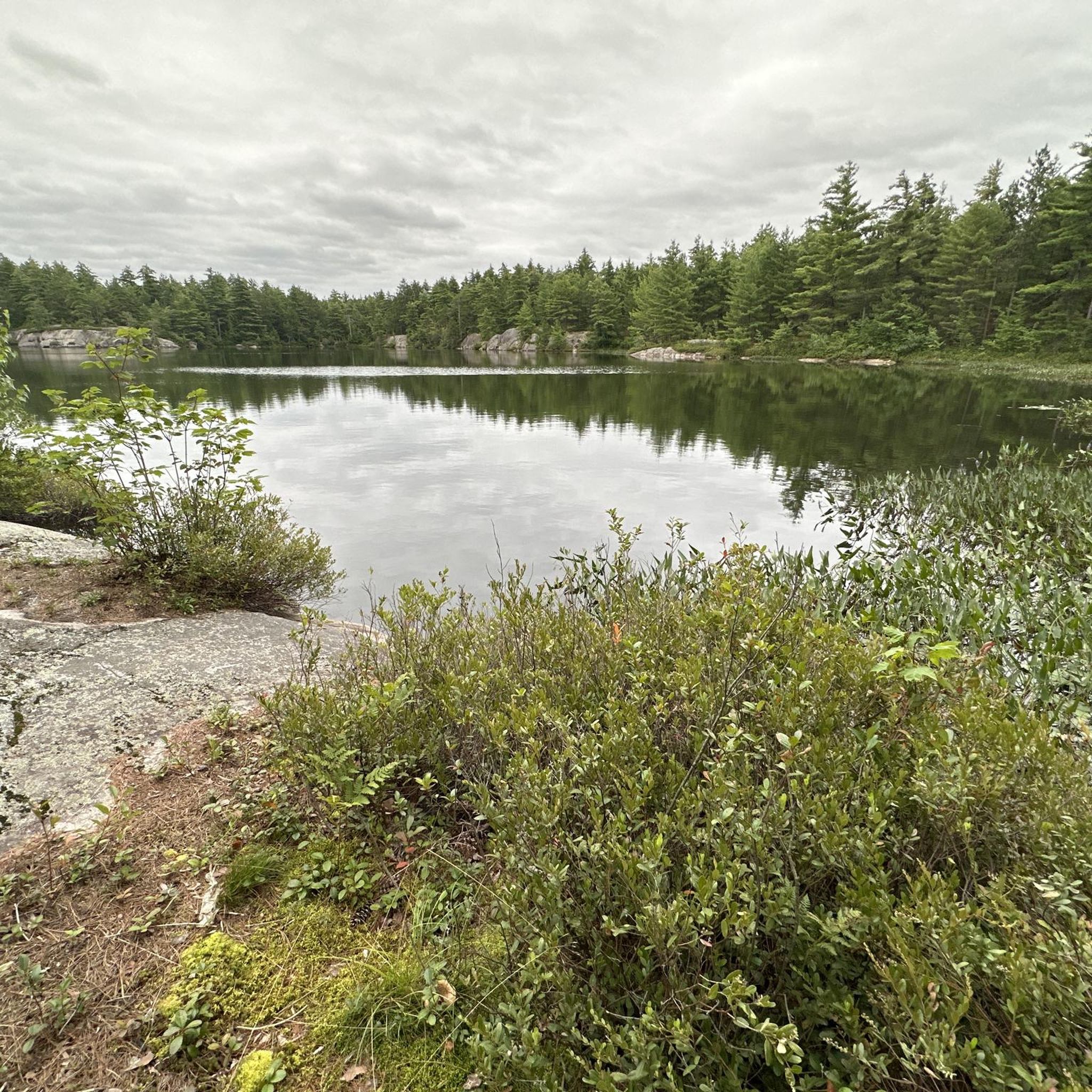
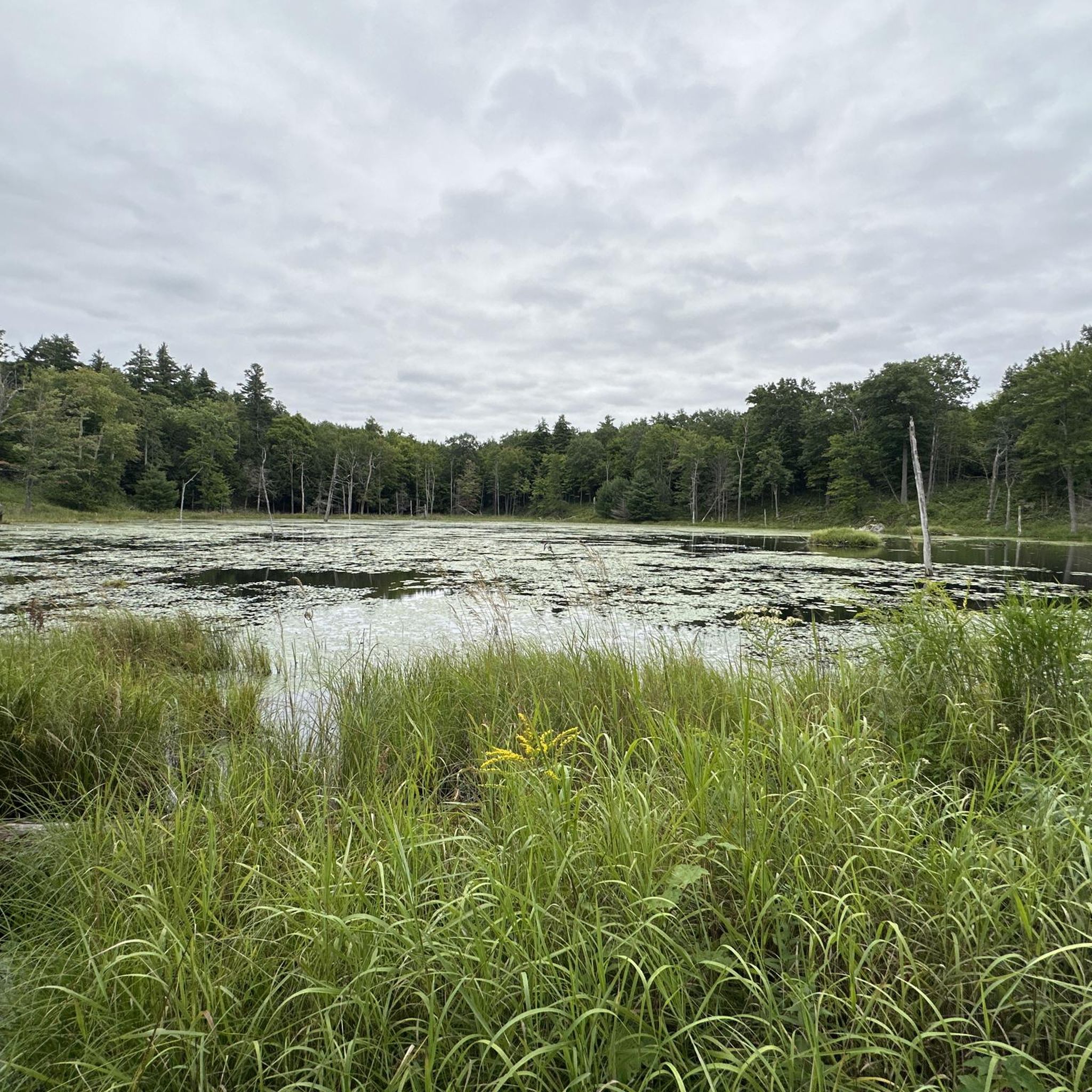
Other adventures in St. Lawrence County

Tips from the Community

The Long Sault Parkway hops across 11 islands for more than 10 kilometres through the Saint Lawrence River, but here’s the twist: these islands are the high ground left behind when construction of the Saint Lawrence Seaway flooded former riverside communities in 1958. The Parkway’s islands were deliberately linked after the flooding, which makes the whole place feel a bit like an outdoor history map. Today, beaches, trails, and picnic spots sit above a partly submerged landscape, including an old canal lock that scuba divers can still explore underwater.
0
0
Woodlands Beach is a quiet riverside stop along the Long Sault Parkway, with a sandy shoreline, calm Saint Lawrence views, and plenty of space to picnic or relax by the water. Swimming and canoe/kayak access make it an easy place to turn a walk or ride into a proper summer pause.
0
0
Mille Roches Beach is a broad sandy pause along the Long Sault Parkway, perfect for swimming, picnicking, or simply stretching out beside the Saint Lawrence. Look beyond the beach, and there’s a remarkable story under the water: the Parkway’s islands are linked to the Lost Villages, flooded during the construction of the Saint Lawrence Seaway in the 1950s.
0
0

You never know quite what you'll see along the Great Lakes Waterfront Trail. This stretch of it spans the entire waterfront of Cornwall, offering great views of the historic Cornwall Canal and the Saint Lawrence River.
0
0
This portion of the paved, multiuse Great Lakes Waterfront Trail passes through bustling Lamoureux Park. In the park you'll find a busy aquatic centre, a civic complex, a community museum, Rotary eco-gardens and much more.
0
0
Here, the Great Lakes Waterfront Trail crosses a direct access point for 500-acre Guindon Park. The park offers several loop trails great for walking, running, skiing and various types of cycling.
0
0

The St. Lawrence River runs along the border between Canada and the United States and is the defining feature of the Thousand Islands region. Near Thousand Islands National Park, the river spreads into a maze of more than 1,800 islands scattered across clear blue water. The river has long been an important travel and trade route, used for centuries by Indigenous communities and later by European explorers. Today, it’s a popular place for boating, paddling, and taking in the unique scenery of the Thousand Islands.
0
0

Frequently Asked Questions
What types of road cycling routes are available in St. Lawrence County?
St. Lawrence County offers a diverse range of road cycling routes, catering to various skill levels. You'll find routes that traverse the scenic St. Lawrence River shoreline, wind through pastoral farmlands, and climb into the rolling hills of the Adirondack foothills. There are 10 routes documented, with 4 considered easy and 6 moderate. While there are no routes explicitly categorized as difficult in our current selection, the region's varied topography ensures options for both leisurely rides and more challenging excursions with significant elevation gains.
What natural features and landmarks can I expect to see while road cycling in St. Lawrence County?
Road cycling in St. Lawrence County provides opportunities to experience a rich natural landscape. Routes often follow the majestic St. Lawrence River, offering views of its expansive waters. You can also encounter numerous other rivers, ponds, and lakes, such as the Raquette and Grasse Rivers. The region is also home to several waterfalls, including Lampson Falls and Copper Rock Falls. For specific points of interest, consider exploring highlights like the High Falls or the Town of Cranberry Lake, which are near some routes.
Are there family-friendly road cycling routes in St. Lawrence County?
Yes, St. Lawrence County offers several easy road cycling routes suitable for families. These routes typically feature flat to gently rolling terrain, often through peaceful farmlands or along quieter country roads. An example of an easy route is the Ingleside Coffee & Bakery loop from Reg Campbell Park, which is 14.4 miles (23.2 km) long with minimal elevation gain.
What is the best time of year for road cycling in St. Lawrence County?
The best time for road cycling in St. Lawrence County is generally from late spring through early autumn. During these months, the weather is most favorable, with comfortable temperatures and less precipitation. The region's natural beauty, from lush forests to vibrant farmlands, is particularly appealing during this period. Always check local weather conditions before heading out.
Are there any long-distance road cycling routes in the area?
Yes, St. Lawrence County features several longer road cycling routes for those seeking extended rides. For example, the Snake Island loop from Brockville is a moderate 65.2 miles (105.0 km) path that follows sections of the St. Lawrence River. Another option is the Ingleside Coffee & Bakery loop from Cornwall, which covers 36.0 miles (58.0 km) through varied terrain.
Where can I find loop road cycling routes in St. Lawrence County?
Many of the road cycling routes in St. Lawrence County are designed as loops, offering a convenient way to start and end your ride at the same point. Examples include the Dickinson Island loop from Mille Roches Island, a moderate 20.8-mile (33.5 km) ride, and the Lyn Valley Pond loop from Brockville, an easy 14.5-mile (23.3 km) option.
What is the terrain like for road cycling in St. Lawrence County?
The terrain for road cycling in St. Lawrence County is quite varied. Along the St. Lawrence River, you'll find flatter sections and gentle rolls, ideal for scenic cruising. As you move south towards the Adirondack foothills, the landscape becomes more undulating, featuring rolling hills and forested areas that offer more challenging climbs and descents. You can expect well-paved roads, with some areas offering mixed surfaces for those who prefer varied terrain.
Are there any routes that offer views of the St. Lawrence River?
Absolutely. A significant portion of St. Lawrence County borders the St. Lawrence River, and many routes are designed to showcase its beauty. The Snake Island loop from Brockville and the Ingleside Coffee & Bakery loop from Cornwall both feature sections along the river, providing expansive water views and opportunities to see ocean-going ships.
How challenging are the road cycling routes in St. Lawrence County?
The routes vary in challenge, from easy to moderate. Easy routes, like the Ingleside Coffee & Bakery loop from Reg Campbell Park, have minimal elevation gain and are suitable for beginners or casual riders. Moderate routes, such as the Town of Cranberry Lake – Lost Pond Nature Trail loop from Cranberry Lake, involve more significant elevation changes, often exceeding 700 feet (200 m) of climbing, and are better suited for cyclists with good fitness. The region's topography, influenced by the Adirondack foothills, ensures options for those seeking more strenuous rides.
What do other road cyclists enjoy most about road cycling in St. Lawrence County?
The road cycling experience in St. Lawrence County is highly rated by the komoot community, with an average score of 5.0 stars. Reviewers often praise the region's varied terrain, which includes scenic riverfronts, peaceful farmlands, and rolling hills. The low population density often translates to less-traveled, quiet roads, enhancing the overall cycling experience.
Are there any road cycling routes that pass through or near towns with amenities?
Yes, some routes are designed to pass through or near towns, offering opportunities for breaks and amenities. For instance, the Ingleside Coffee & Bakery loop from Long Sault starts near Long Sault, providing access to local services. While specific cafes or pubs are not detailed for every route, planning your ride through towns like Canton or Ogdensburg (as mentioned in regional research for the Frederic Remington Ride) will likely provide options for refreshments.
Are there any specific routes that highlight the Adirondack foothills?
While specific routes are not explicitly named 'Adirondack Foothills routes' in our data, the region research indicates that a significant portion of St. Lawrence County lies within the Adirondack Park, contributing to its varied topography with rolling hills and forested areas. Routes with higher elevation gains, such as the Town of Cranberry Lake – Lost Pond Nature Trail loop from Cranberry Lake, will offer a taste of this more challenging, scenic terrain.
Most popular attractions in St. Lawrence County

Get inspired with the komoot mobile app


Didn’t find what you were looking for?
Check out more Road cycling routes throughout St. Lawrence County below and find the perfect route in your destination.
Explore more
Browse the best Road cycling routes in other regions.
