The best cycling routes in Franklin County
4.9
(27)
609
riders
35
rides
Touring cycling in Franklin County, Missouri, offers a diverse landscape primarily characterized by extensive rail-trails and scenic river views. The region features flat, converted railway paths that traverse agricultural lands and dense forests. Cyclists can explore routes along the Missouri River, providing glimpses of the waterway and surrounding natural areas. This area is well-suited for touring cyclists seeking routes through varied terrain, from open farmland to wooded sections.
Best touring cycling routes in Franklin County
- The most popular touring cycling…
Last updated: July 8, 2026
5.0
(1)
24
riders
23.8km
01:29
30m
30m
Easy bike ride. Great for any fitness level. Mostly paved surfaces. Suitable for all skill levels.
33
riders
46.1km
03:15
230m
230m
Moderate bike ride. Good fitness required. Mostly paved surfaces. Suitable for all skill levels.

Sign up for free
5.0
(3)
25
riders
53.0km
03:52
140m
140m
Moderate bike ride. Good fitness required. Mostly paved surfaces. Suitable for all skill levels.
13
riders
37.4km
03:05
70m
70m
Moderate bike ride. Good fitness required. Mostly paved surfaces. Suitable for all skill levels.
12
riders
Easy bike ride. Great for any fitness level. Mostly paved surfaces. Suitable for all skill levels.
12
riders
17.7km
01:07
40m
40m
Easy bike ride. Great for any fitness level. Mostly paved surfaces. Suitable for all skill levels.
9
riders
39.1km
03:36
50m
50m
Moderate bike ride. Good fitness required. Mostly paved surfaces. Suitable for all skill levels.
11
riders
24.8km
02:17
30m
30m
Moderate bike ride. Good fitness required. Mostly paved surfaces. Suitable for all skill levels.
5.0
(1)
8
riders
Easy bike ride. Great for any fitness level. Mostly paved surfaces. Suitable for all skill levels.
Get access to more routes and recommendations from other explorers.
Sign up for free
Already have an account?
Our route recommendations are based on thousands of hikes, rides, and runs completed by other people on komoot.
Start today with a free account
Your next adventure awaits.
Login or Signup



Tips from the Community

Known locally as “Devil’s Boot Cave,” this natural overhang carved in sandstone resembles the shape of a boot and stretches roughly 25 feet deep and wide, near Marthasville. Once used as a pioneer shelter and noted by local schools for nature trips, the site offers a little geological curiosity beside the trail—a hands-on reminder of Missouri’s limestone landscape and early frontier life. Great for a quick stop and photo op!
0
0

Bike repair stand, all the necessary tools and a working air pump. Bathroom and shelter too. No water.
0
0

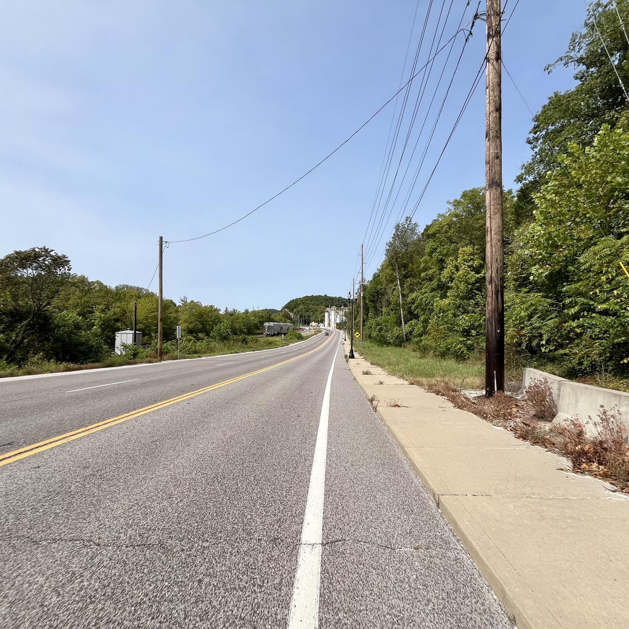
One of 3 major highway bridges over the Missouri between Weldon and St Charles, MO. The KATY trail through here is as smooth as concrete and the scenery is beautiful!
1
0

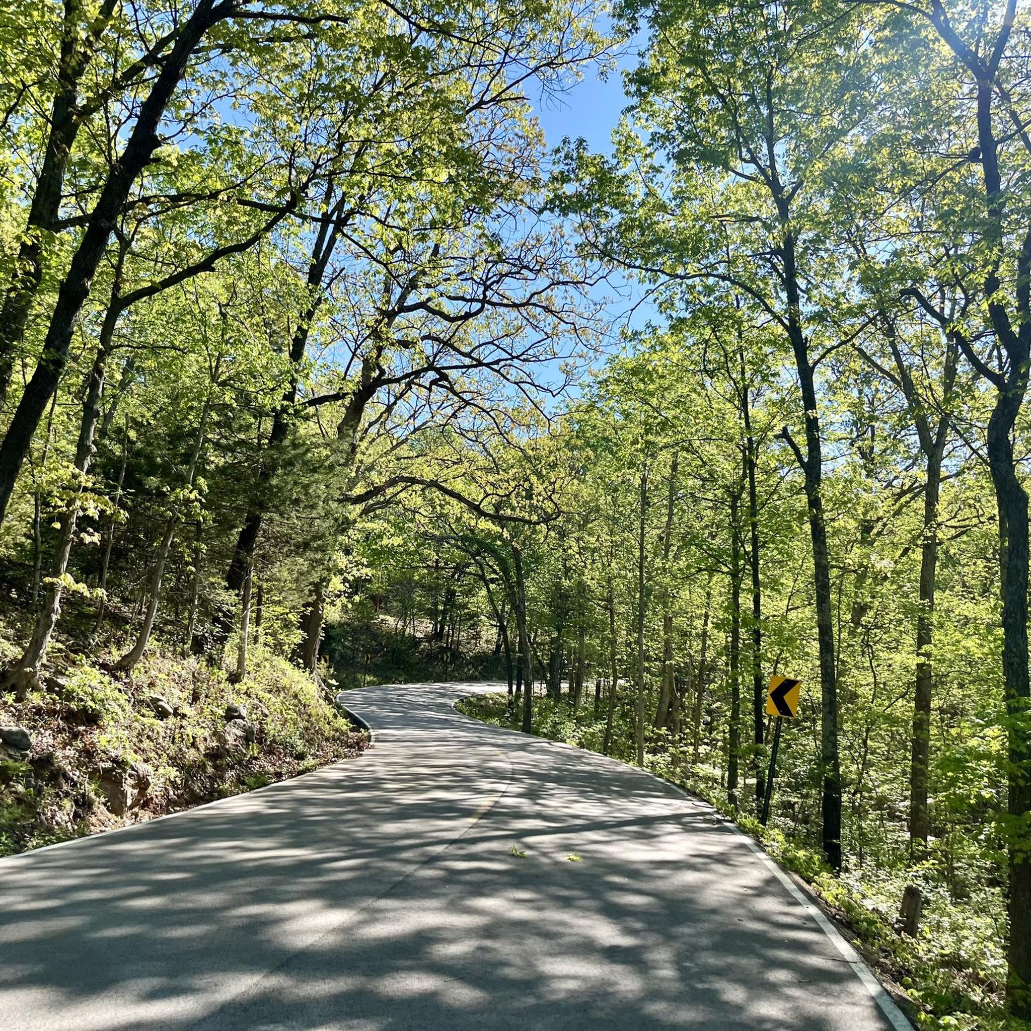
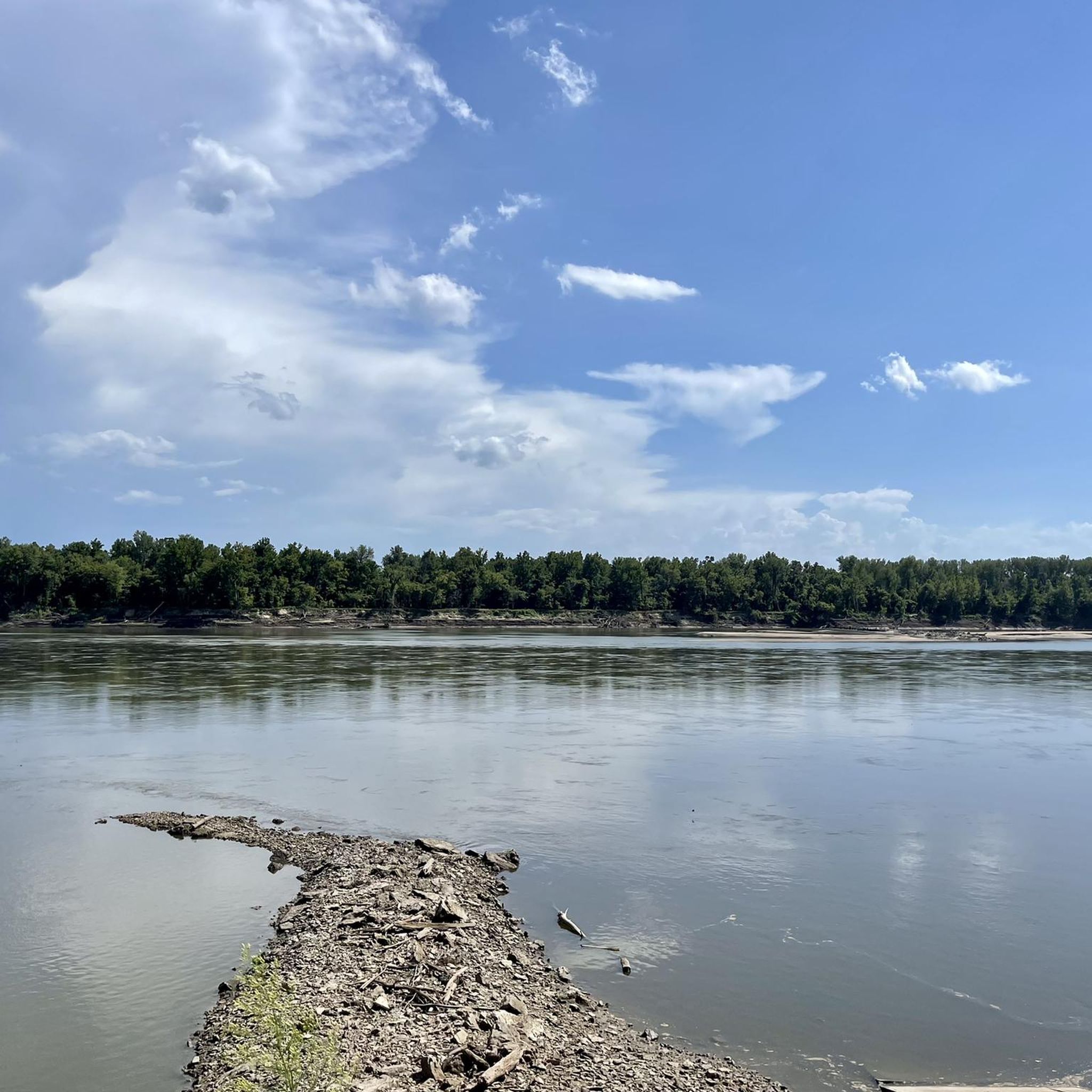
This trail runs alongside the Missouri River, providing a relaxing ride with the soothing sounds of the water. The trail is well-maintained dirt with ample tree coverage, offering pleasant shade along the way.
1
0

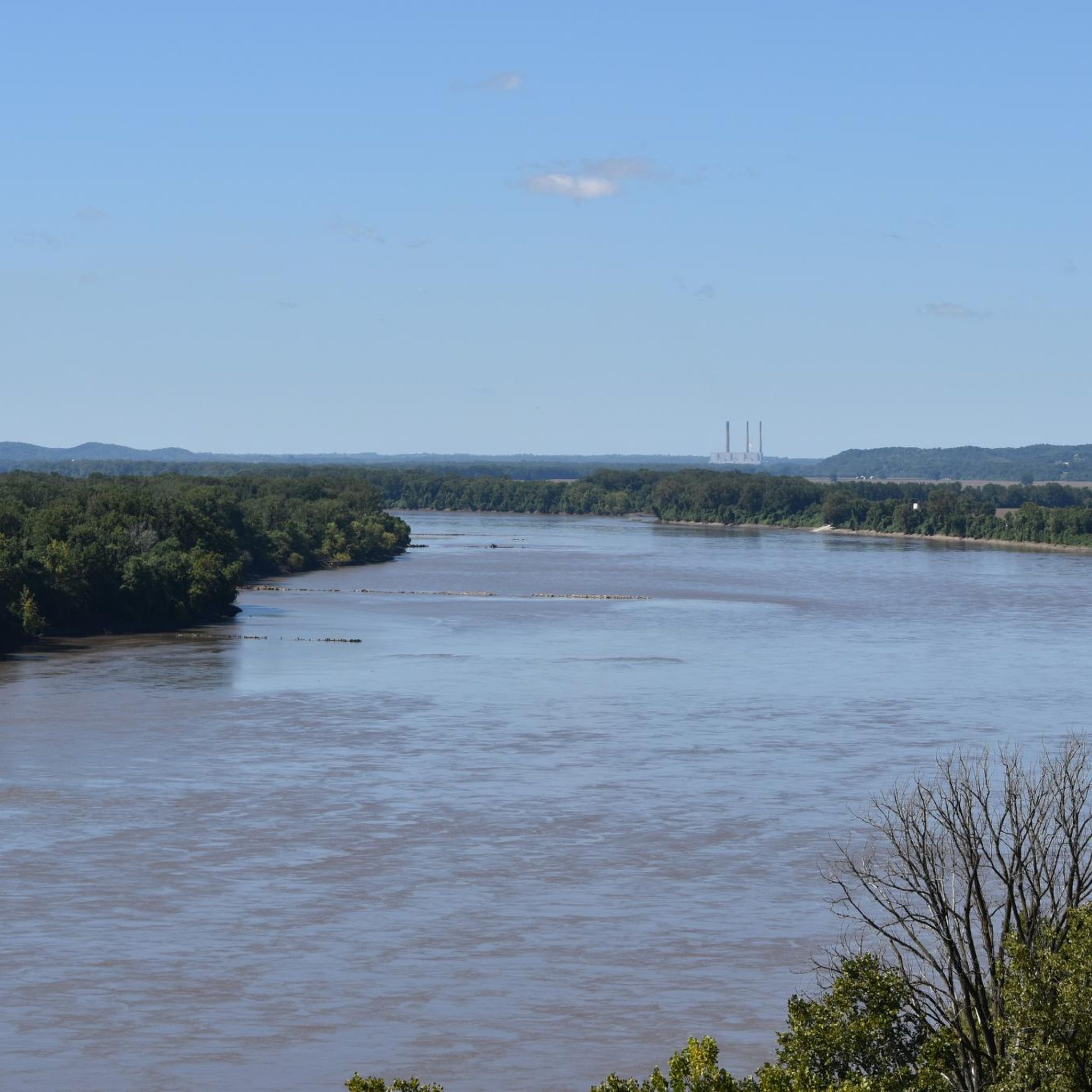
This section of the Katy Trail extends from Greens Bottom Road to Missouri Research Trail. Here, you'll discover a shady, compact gravel road with views of the Missouri River.
0
0

The Mononame 207 Reservoir is a 22-acre lake off the side of the Busch Greenway. It's popular for fishing and has a pretty cool looking backdrop of trees. There's a spot with a bench on the north side of the lake where you can take a break and take in the view
0
0
Here you will reach a historic iron bridge that spans over Femme Osage Creek just before entering Defiance. This is a particularly significant part of the Katy Trail, adding to its historical charm.
0
0
This section of the Katy Trail extends from Greens Bottom Road to Missouri Research Trail. Here, you'll discover a shady, compact gravel road with views of the Missouri River.
1
0
Frequently Asked Questions
How many touring cycling routes are available in Franklin County?
Franklin County offers a wide selection of touring cycling routes, with over 39 routes available for exploration. These routes cater to various skill levels, from easy, flat paths to more challenging rides with moderate climbs.
What kind of terrain can I expect on touring cycling routes in Franklin County?
The touring cycling routes in Franklin County primarily feature flat, converted railway paths that traverse agricultural lands and dense forests. You can expect varied terrain, from open farmland to wooded sections, often with scenic views along the Missouri River.
Are there any easy touring cycling routes suitable for beginners or families?
Yes, Franklin County has several easy routes perfect for beginners or families. The Lost Valley Trail Loop is an easy 6.4-mile path offering a scenic ride through wooded areas with gentle elevation changes. Another great option is the Katy Trail: Augusta to Defiance, a 14.8-mile trail that follows a historic rail-trail through rural landscapes.
Are there any longer touring cycling routes for experienced cyclists?
For experienced cyclists looking for longer rides, the Bums Cave – Missouri River loop from Dutzow is a challenging 53.6-mile route. Another option is the Defiance – Historic Bridge loop from Defiance, a moderate 28.6-mile route that offers a good distance for a day trip.
Can I find circular touring cycling routes in Franklin County?
Yes, many routes in Franklin County are designed as loops. Besides the Lost Valley Trail Loop, you can also explore the Lost Valley Trail loop from Lost Valley Trail Parking, a moderate 11.4-mile option. For a longer loop, consider the Augusta – Bums Cave loop from Augusta.
What are some notable landmarks or points of interest along the touring cycling routes?
Many routes in Franklin County offer glimpses of the Missouri River and pass through scenic farm country and forests. The region is known for its rail-trails, which often follow historic paths. The Defiance – Historic Bridge loop from Defiance, for instance, highlights a historic bridge, while the Katy Trail – Klondike Park Quarry loop from Dutzow passes by Klondike Park.
Is public transport available to access touring cycling routes in Franklin County?
While specific public transport options directly to trailheads may be limited, many routes, especially sections of the Katy Trail, are accessible from towns within Franklin County. Planning your route in advance and checking local transport schedules for specific towns like Augusta or Defiance is recommended.
Where can I park my car when visiting touring cycling routes?
Parking is generally available at various trailheads along the major routes. For example, the Monarch Levee Trail – Chesterfield Settlers Cemetery loop starts from Monarch-Chesterfield Levee Trail Parking, indicating dedicated parking facilities. Many towns along the Katy Trail also offer parking for trail users.
What is the best time of year for touring cycling in Franklin County?
The best time for touring cycling in Franklin County is typically during spring and fall. These seasons offer pleasant temperatures, vibrant foliage, and comfortable conditions for longer rides. Summer can also be enjoyable, but it's advisable to start early to avoid the midday heat.
Are there any touring cycling routes that pass by cafes or pubs?
Yes, especially along popular routes like the Katy Trail, you'll find charming towns such as Augusta and Defiance. These towns often have local cafes, pubs, and wineries where cyclists can stop for refreshments and a break. The Katy Trail: Augusta to Defiance route is particularly well-suited for this, connecting two such towns.
What do other cyclists say about touring cycling in Franklin County?
The touring cycling experience in Franklin County is highly rated by the komoot community, with an average score of 4.9 stars from more than 20 reviews. Cyclists often praise the quiet woodlands, well-maintained rail-trails, and scenic river views, highlighting the area as a great destination for diverse cycling experiences.
Are there any routes that offer scenic river views?
Absolutely. Many routes in Franklin County run alongside the Missouri River, offering picturesque views of the waterway and surrounding natural areas. The Hamburg Trail, for example, leads through riverine landscapes and open fields, providing excellent opportunities to enjoy the river scenery.
Most popular routes in Franklin County

Get inspired with the komoot mobile app


Didn’t find what you were looking for?
Check out more Cycling routes throughout Franklin County below and find the perfect route in your destination.
Explore more
Browse the best Cycling routes in other regions.
