The best walks and hikes in Kane County
4.6
(3263)
39,826
hikers
156
hikes
Hiking in Kane County explores a landscape of dramatic red rock formations, deep slot canyons, and expansive high-desert plateaus. The region is characterized by sculpted sandstone, slickrock, and sandy washes, with elevations varying across different wilderness areas. It serves as a gateway to parts of Zion National Park, Grand Staircase-Escalante National Monument, and Vermilion Cliffs National Monument.
Best hiking trails in Kane County
- The most popular hiking route is East Mesa Trail, a 6.9 miles (11.2 km) trail that takes 3 hours 9 minutes to complete. This route leads to a viewpoint overlooking the main canyon of Zion National Park.
- Another top favourite among local hikers is Peekaboo and Spooky Slot Canyons via Lower Dry Fork Narrows Trailhead, a moderate 5.5 miles (8.8 km) path. This trail navigates through narrow slot canyons with unique formations.
- Local hikers also love the Moqui Caverns Trail, a 2.2 miles (3.5 km) trail leading through a desert landscape to man-made caves, often completed in about 57 minutes.
- Hiking in Kane County is defined by its slot canyons, sculpted sandstone waves, and expansive desert vistas. The trail network offers everything from short, family-friendly hikes to challenging, multi-hour treks through remote wilderness.
- The routes in Kane County are highly rated by the komoot community with an average score of 4.7 stars from over 1,000 reviews. More than 10,000 hikers have used komoot to explore Kane County's varied terrain.
Last updated: September 27, 2026
4.8
(103)
910
hikers
11.2km
03:09
220m
220m
The East Mesa Trail offers a unique journey through a quiet, forested mesa, leading to one of Zion's most spectacular overlooks. You'll traverse a well-worn old jeep trail, meandering through a mixed forest of Juniper, Piñon, and Ponderosa Pine, enjoying a subtle and peaceful atmosphere. The true highlight is the panoramic Observation Point View of Zion Canyon, where you'll gaze upon Angels Landing, Cable Mountain, and The Great White Throne from thousands of feet above.
Accessing the trailhead can be a bit of an adventure, as it requires driving on remote dirt roads that are often rough and can become muddy or icy after rain or snow; a high-clearance or 4WD vehicle is frequently needed. This moderate hike covers 6.9 miles (11.2 km) with 707 feet (215 metres) of elevation gain, typically taking about 3 hours and 8 minutes. It's considered suitable for families comfortable with longer distances, as the difficulty stems more from length than steepness.
This trail is particularly notable as the primary route to Observation Point since the closure of the original trail from Weeping Rock. It often sees fewer visitors than other popular Zion trails, providing a more solitary experience. The trail's location on the upper east side of the park also means temperatures can be cooler than in the main canyon during hotter months, making it a pleasant escape.
5.0
(8)
131
hikers
8.79km
02:27
170m
160m
This moderate 5.5-mile (8.8 km) hike takes you through the unique Peekaboo and Spooky Slot Canyons, involving a total elevation gain of 548 feet (167 metres) over approximately 2 hours and 26 minutes. You will navigate through stunning red rock and sandstone formations, experiencing the tight squeezes of Spooky Gulch, which can be as narrow as 10 inches. Peekaboo Gulch offers a different experience with its beautiful ripple walls and natural arches, including a distinctive heart-shaped rock passage.
Reaching the trailhead requires driving 26 miles down the unpaved Hole-in-the-Rock Road, so plan for extra travel time and check road conditions. Always check the weather forecast before you go; flash floods are a serious risk in slot canyons, even if rain is far away. Due to the extremely narrow sections, this route is not suitable if you are claustrophobic.
These slot canyons are a geological marvel within the Grand Staircase-Escalante National Monument, carved by water over millennia into striking red rock and sandstone. Peekaboo Gulch showcases beautiful ripple walls and natural arches, while Spooky Gulch offers a more thrilling, extremely narrow passage. The wider Dry Fork Narrows section provides a scenic contrast with its pink-colored sand and towering walls, making this route a memorable desert adventure.

4.8
(5)
42
hikers
3.49km
00:58
50m
20m
Embark on a unique desert hike along the Moqui Caverns Trail, a difficult route spanning 2.2 miles (3.5 km). You will experience a predominantly sandy path that leads to a scramble up a slick rock face, gaining 166 feet (51 metres) in elevation. The journey culminates in fascinating rock formations with 'windows' that offer expansive views of the surrounding orange cliffs, making for an engaging 57-minute adventure.
This trail is conveniently located directly off Highway 89, making it an easy stop for travelers exploring the area near Kanab, Utah. Parking is generally available at the trailhead, allowing for straightforward access to your hike. Be sure to plan your visit during cooler parts of the day, as the approach to the rock formations offers no shade, though the interior provides a cool respite.
The Moqui Caverns Trail offers a distinctive experience, showcasing intriguing patterns in the sandstone walls that tell a story of geological processes. It stands apart from the nearby Moqui Cave museum, which is a separate attraction, providing a more rugged, outdoor exploration. This route is perfect if you are looking for a short but challenging hike with unique natural features.
5.0
(3)
25
hikers
33.0km
11:50
840m
1,450m
Embark on the Zion Narrows Top-Down Hiking Route, a challenging 20.5 miles (33.0 km) journey that takes you directly through the Virgin River. This unique "river-as-trail" experience involves hiking in water for much of its duration, gaining 2759 feet (841 metres) over an estimated 11 hours and 49 minutes. You will navigate towering canyon walls, with the canyon narrowing dramatically in sections like Wall Street, creating a truly immersive and cathedral-like environment.
Planning your visit requires careful attention to permits and conditions. A wilderness permit is mandatory for all Top-Down Narrows hikes, and these can be difficult to secure, especially during peak season. It is crucial to check weather forecasts for flash flood warnings and monitor water flow rates; permits are not issued if the Virgin River flow reaches 120 cubic feet per second or more. Be prepared for cold water temperatures in fall and winter, which may necessitate specialized gear like wetsuits.
This route is renowned as one of Zion National Park's most iconic slot canyons, showcasing the immense power of water erosion over millennia. As you progress, the scenery transforms, revealing numerous waterfalls and hidden side canyons carved into the rock. The journey culminates near the Temple of Sinawava, offering a profound appreciation for the natural forces that shaped this landscape.
5.0
(2)
17
hikers
24.3km
09:13
630m
1,020m
Embark on the Zion Narrows Top-Down Hiking Route, a difficult adventure that takes you directly through the Virgin River. This unique trail spans 15.1 miles (24.3 km) and involves a significant elevation gain of 2067 feet (630 metres), typically requiring about 9 hours and 13 minutes to complete. As you hike, you'll be surrounded by towering sandstone cliffs, experiencing the dramatic shift from open areas to incredibly narrow sections like "Wall Street," where the canyon walls close in around you.
Before you go, remember that a wilderness permit is essential for this route, and securing one can be challenging, especially during busy times. Always check the weather forecast and current river flow levels, as the trail closes if there's a flash flood warning or high water. You will need specialized gear, including canyoneering shoes and a sturdy walking stick, to safely navigate the riverbed.
This route is renowned for its immersive experience, allowing you to wade through the river while surrounded by a cathedral-like environment. The scenery constantly changes, revealing numerous waterfalls and the vibrant colors of the rock formations as you progress. It's a truly distinctive way to explore Zion National Park, offering a perspective unlike any other trail in the region.
5.0
(4)
11
hikers
7.45km
03:04
340m
390m
The Observation Point via Stave Spring Trailhead offers a journey through Zion's diverse landscapes, beginning on a tree-covered plateau before dropping into a lightly forested valley and ascending towards the iconic Observation Point. You'll navigate varied terrain, including rocky sections and switchbacks, with rock cairns guiding you through some canyon points, all leading to absolutely jaw-dropping views of Angels Landing, Cathedral Mountain, and the Great White Throne. This 4.6-mile (7.4 km) out-and-back hike, with 1116 feet (340 metres) of elevation gain, is rated moderate and typically takes around 3 hours and 3 minutes.
Planning your visit to the Stave Spring Trailhead requires some foresight, as this route is a primary access point to Observation Point since the direct Weeping Rock trail closure. Be ready for the elements: deep snow can linger until late spring, while summer brings very dry and hot conditions, making plenty of water and electrolytes essential. Good hiking shoes are a must for the varied terrain and significant uphill climbs, ensuring a safer and more enjoyable experience.
This trail stands out as a challenging yet highly rewarding alternative for reaching Observation Point, offering some of the best views of Zion Canyon from an elevated perspective, often considered on par with, or even superior to, Angels Landing. It provides a more remote and solitary experience compared to other routes, with a diverse geological journey that includes dropping into Echo Canyon and navigating slick rock before the final ascent. The considerable elevation gain makes it a satisfying physical challenge for those seeking a rigorous hike.
9
hikers
3.79km
01:10
140m
130m
Embark on an easy hike through Huntress Canyon, a 2.4-mile (3.8 km) route that takes about 1 hour and 9 minutes to complete. You will gain 455 feet (139 metres) in elevation as you explore a landscape of swirling pastel sandstone walls. The trail transitions between broader washes and narrow slot canyon passages, offering a unique visual experience.
When planning your visit, be aware that while the trail is generally easy, some sections can be sandy and steep, particularly when climbing out of the canyon. Always carry enough water and sun protection, as parts of the route are exposed to the sun. Check local regulations for any permits or fees before you go, though none are typically required for this area.
Huntress Canyon is known for its distinctive geological features, including quirky toadstool formations and 'waves of sandstone' that create a memorable desert atmosphere. The route offers a chance to experience the Upper Huntress Slot Canyon, providing deep shade and a sense of discovery. This trail is a hidden gem, perfect for families looking for an accessible outdoor adventure near Kanab, Utah.
3.0
(1)
12
hikers
3.94km
01:22
130m
0m
Embark on a moderate hike along the East Rim Trail to Overlook, a 2.4-mile (3.9 km) route that typically takes about 1 hour and 21 minutes to complete. You will gain 427 feet (130 metres) in elevation as you traverse varied terrain, from sandy washes to open slickrock areas. Keep an eye out for cairns guiding your way. The trail offers impressive views into and across Echo Canyon, where you can spot Cathedral Mountain and even the distant Angels Landing. It's a rewarding journey for its length and effort.
Before you set out, be aware that a major rockfall means this section of the East Rim Trail is currently an out-and-back route. It does not connect to the Zion Canyon floor at Weeping Rock, so plan your return accordingly. The trail is largely exposed to the sun, especially during summer months. Make sure to carry plenty of water to stay hydrated throughout your hike.
As you hike, you will encounter unique geological formations, such as the distinctive crossbedding of Checkerboard Mesa. This trail is considered one of the top-rated Zion viewpoints accessible from the East Rim, offering a different perspective of the park's grandeur. The varied landscape and panoramic vistas make it a memorable experience within Zion National Park.
4.8
(36)
305
hikers
7.82km
02:05
80m
80m
Hike the moderate 4.9-mile Wire Pass to Buckskin Gulch Trail through stunning slot canyons in the Paria Canyon-Vermilion Cliffs Wilderness.
5.0
(1)
10
hikers
6.71km
01:49
80m
90m
Embark on an easy hike through Red Canyon, also known as Peek-a-Boo Canyon, where you will discover a unique slot canyon experience near Kanab, Utah. This route covers 4.2 miles (6.7 km) with a gentle elevation gain of 268 feet (82 metres), taking approximately 1 hour and 48 minutes to complete. As you venture into the canyon, you'll be surrounded by towering red sandstone walls, intricately sculpted into swirling and twisting formations. The play of light on these vibrant orange and red hues creates a truly magical atmosphere, making it an incredibly photogenic journey. Keep an eye out for ancient "Moqui steps" carved into the canyon walls, adding a historical touch to the natural beauty.
Accessing the trailhead for Red Canyon requires careful consideration due to the challenging road conditions. The path to the canyon features deep, soft sand and bumpy terrain, making a high-clearance 4WD vehicle essential for reaching the starting point. Even with a suitable vehicle, airing down your tires is recommended, as standard AWD vehicles are generally not sufficient. If you do not have appropriate transportation, be prepared for a strenuous 8-mile round trip hike along the sandy access road, often under full sun exposure. The best times to visit are during fall, winter, and early spring to avoid the intense summer heat.
This slot canyon stands out for its geological formations, showcasing how water and wind have sculpted the soft Navajo sandstone over millennia into a natural wonder. The vibrant red and orange colors are characteristic of the region's rich iron oxide deposits, creating a visual spectacle that changes with the sun's position. The presence of ancient "Moqui steps" hints at the historical use of these canyons by indigenous peoples, adding a layer of cultural significance to your outdoor adventure. It is a prime example of the stunning and accessible slot canyons found in this part of Southern Utah.
Get access to more routes and recommendations from other explorers.
Already have an account?
Our route recommendations are based on thousands of hikes, rides, and runs completed by other people on komoot.
Start today with a free account
Your next adventure awaits.
Popular around Kane County
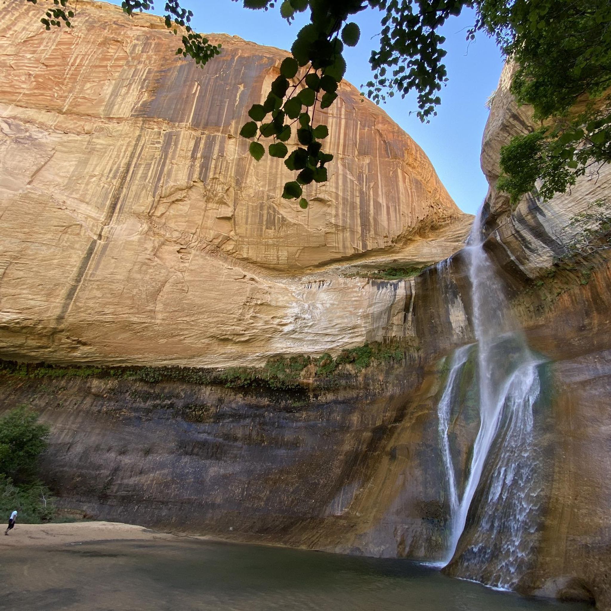
Hiking in Grand Staircase–Escalante National Monument
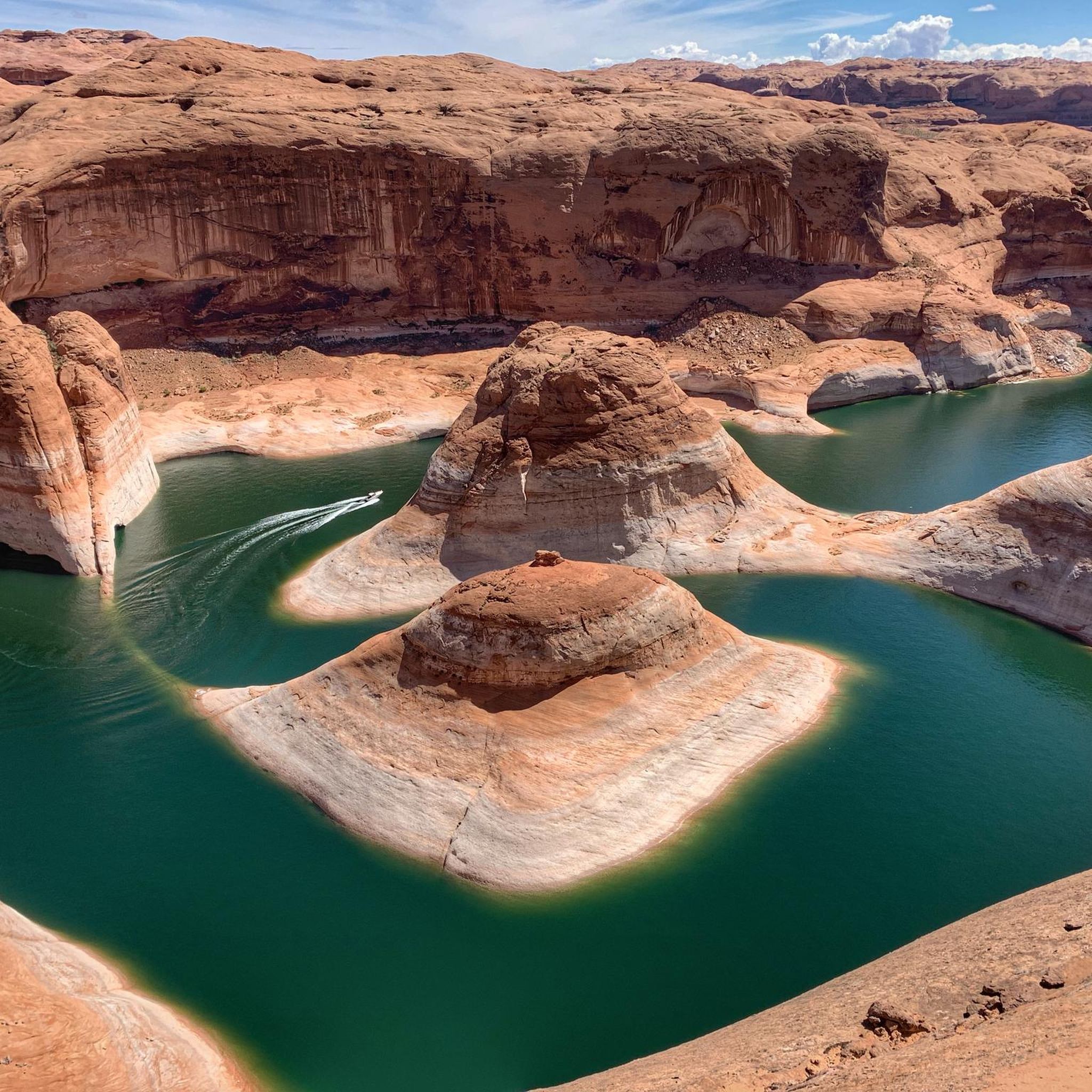
Hiking in Glen Canyon National Recreation Area
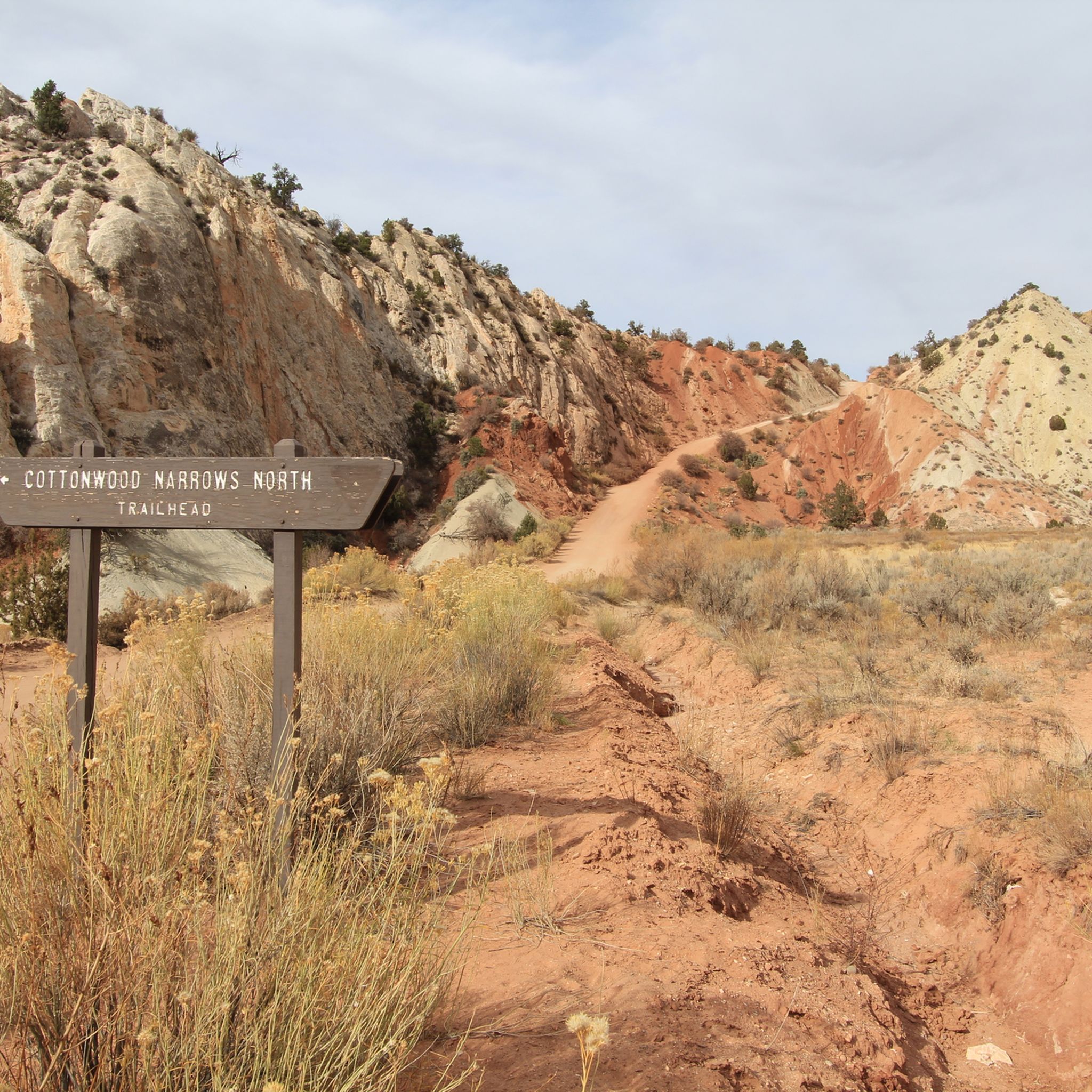
Hiking in the Kaiparowits Plateau
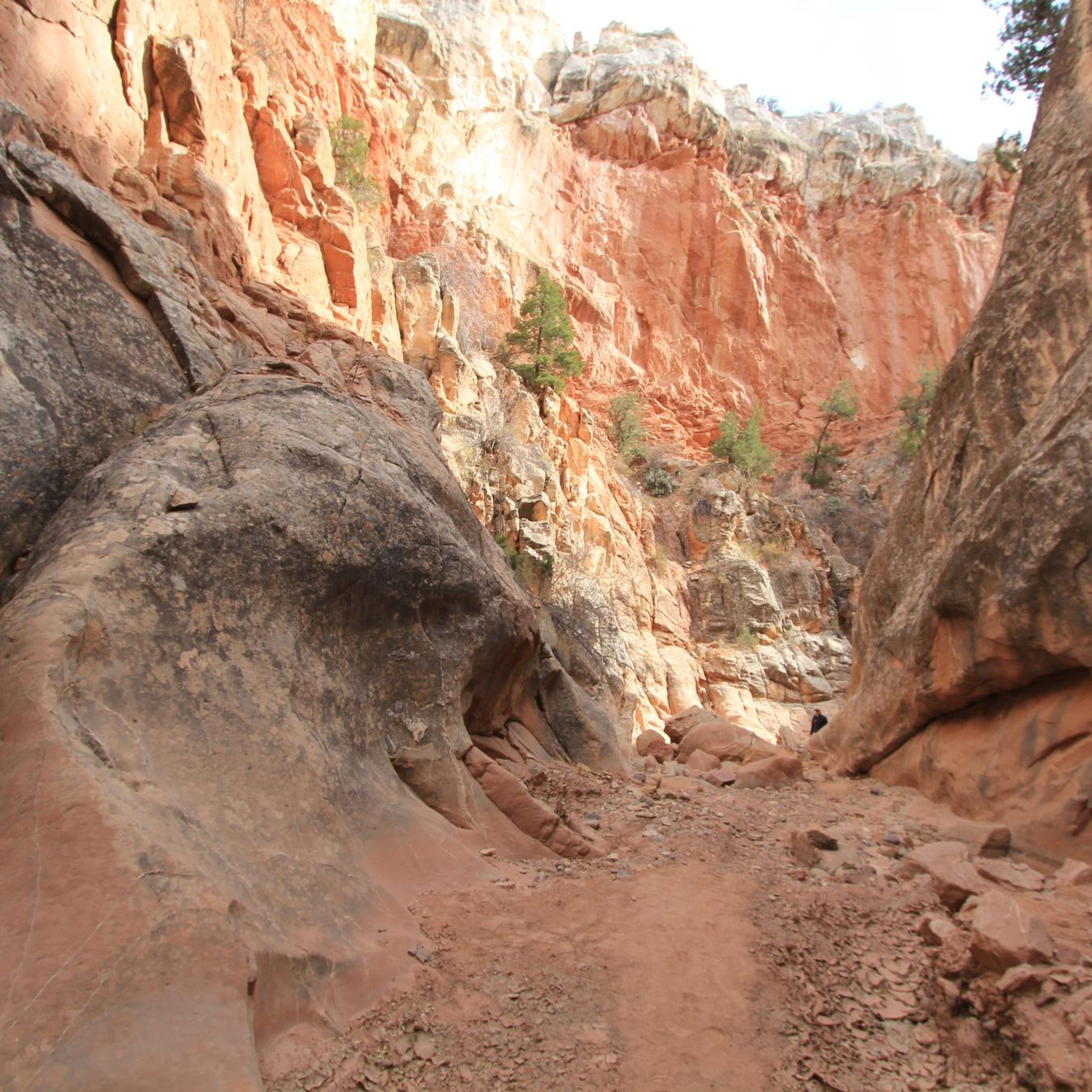
Hiking in Wahweap Wilderness Study Area
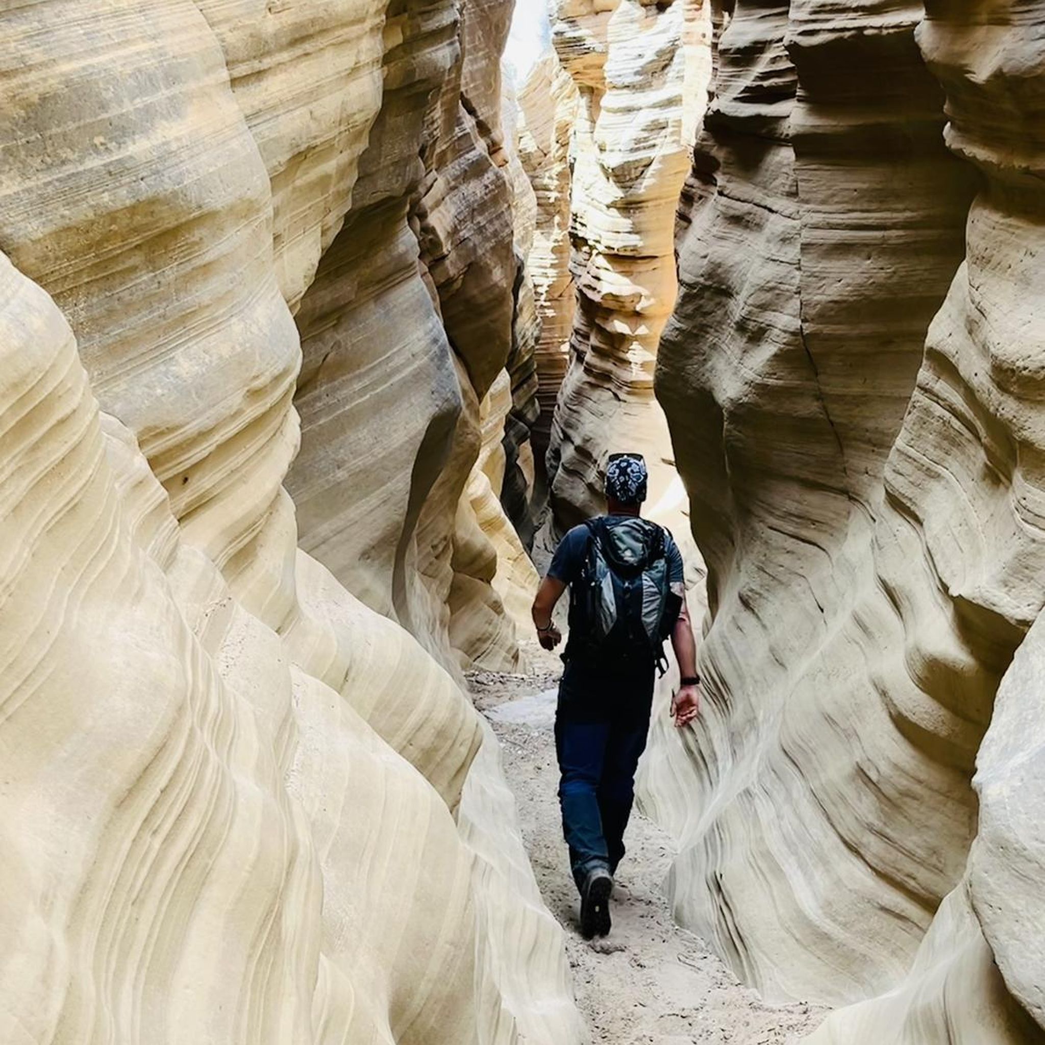
Hiking in Paria-Hackberry Wilderness Study Area
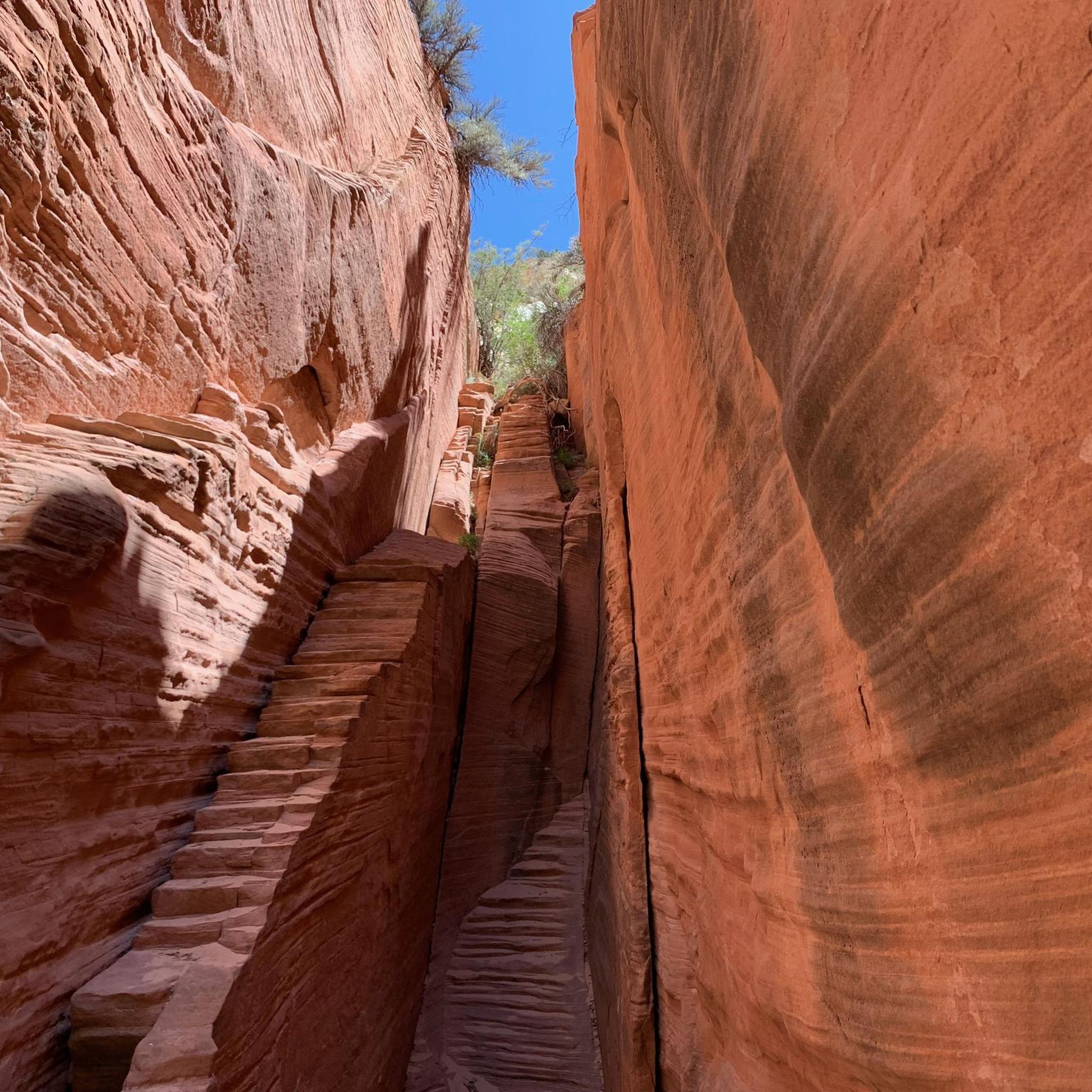
Hiking around Orderville
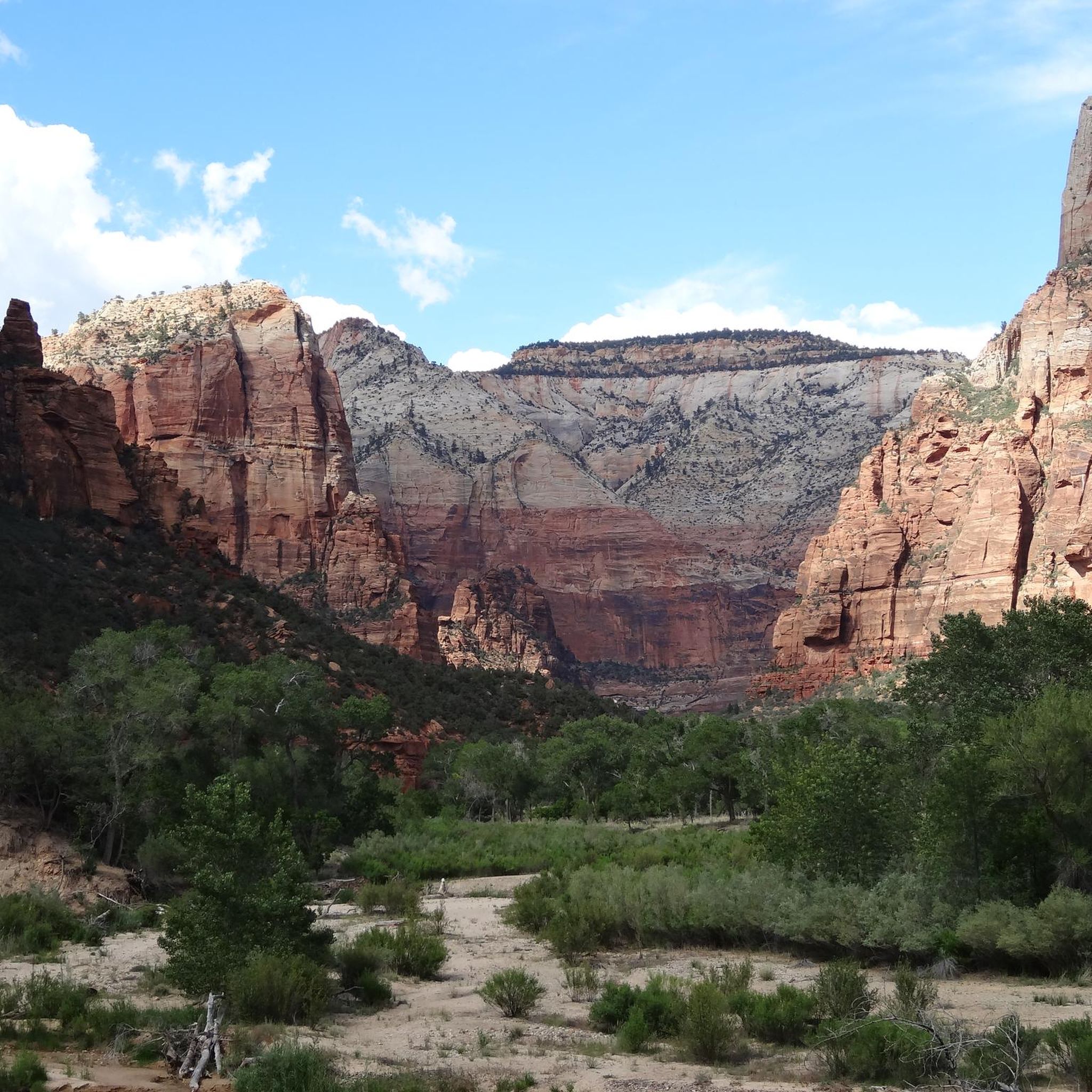
Hiking in Parunuweap Canyon Wilderness Study Area
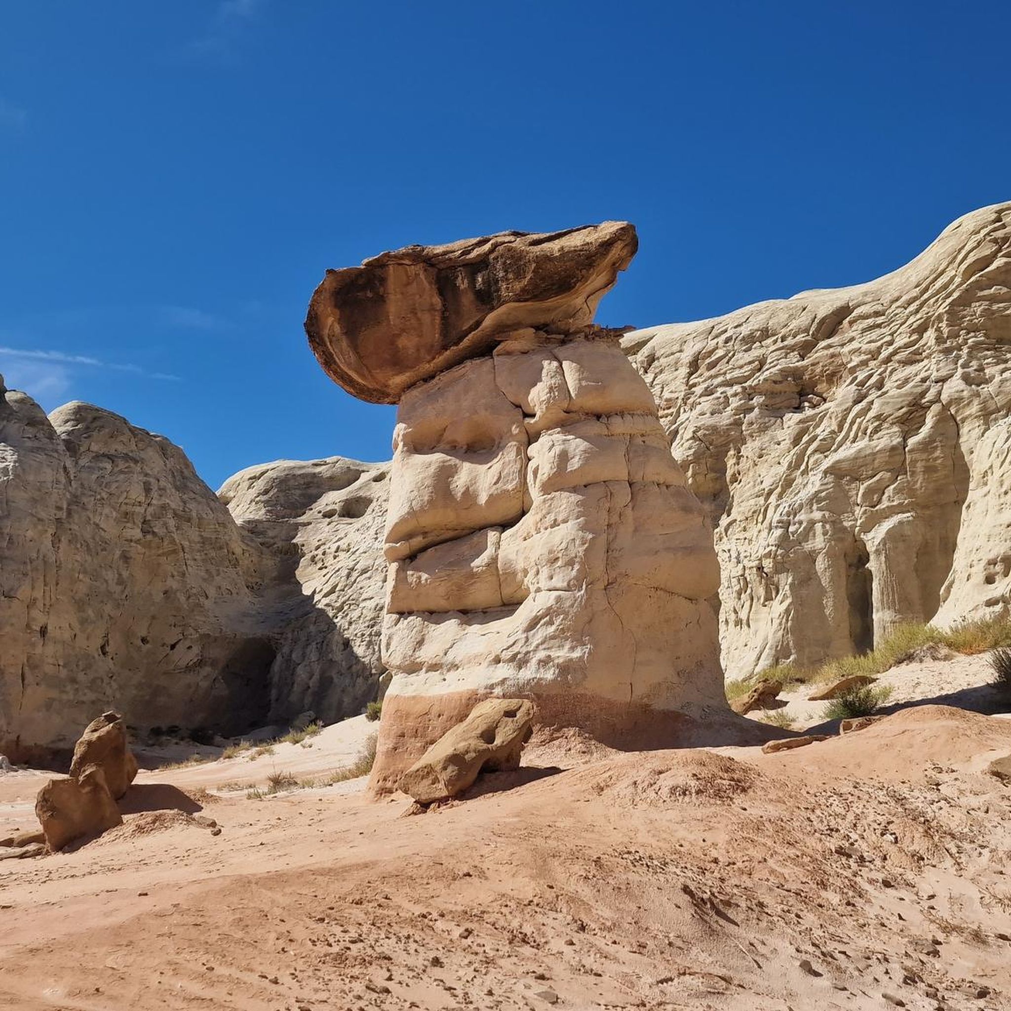
Hiking in The Cockscomb Wilderness Study Area
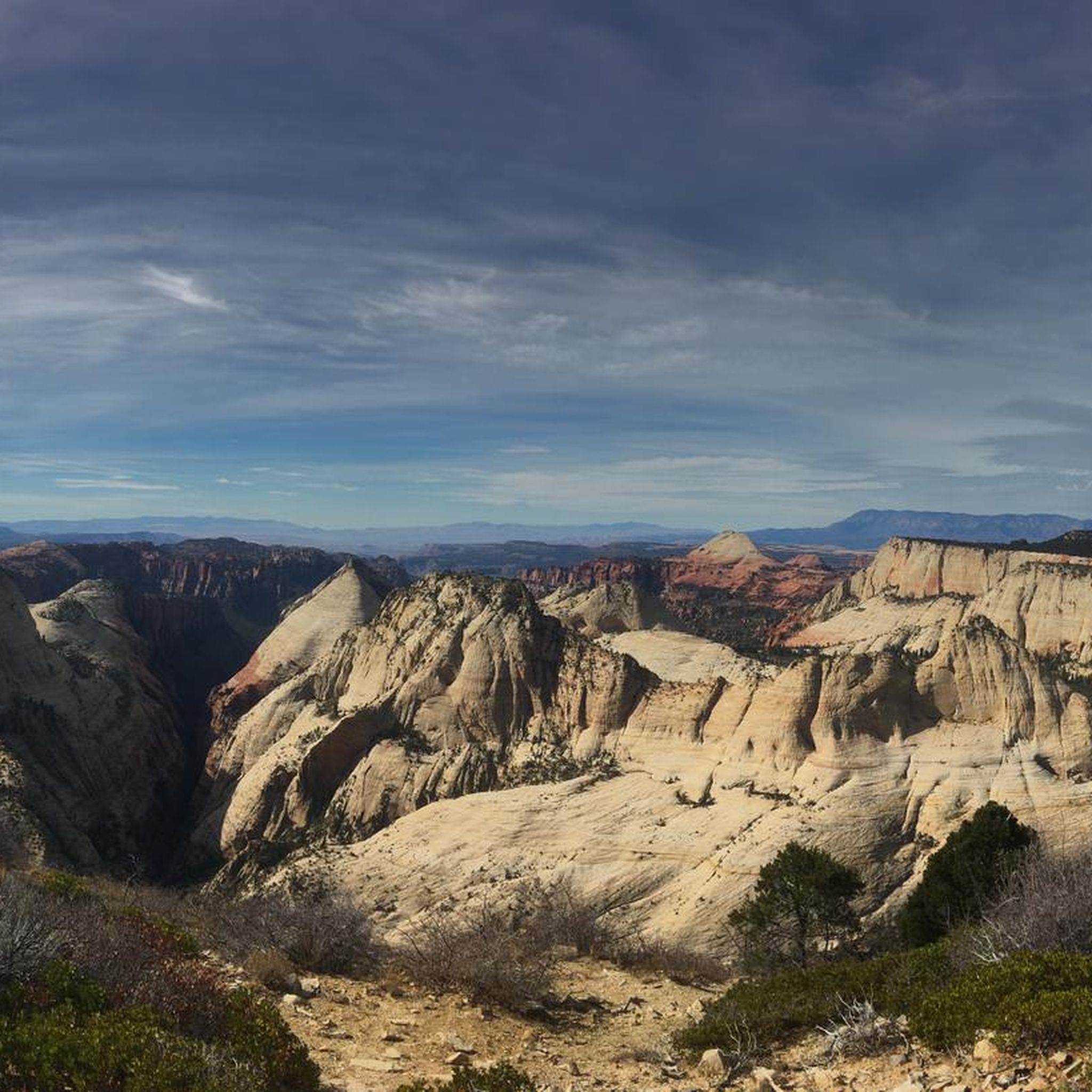
Hiking in Orderville Canyon Wilderness Study Area
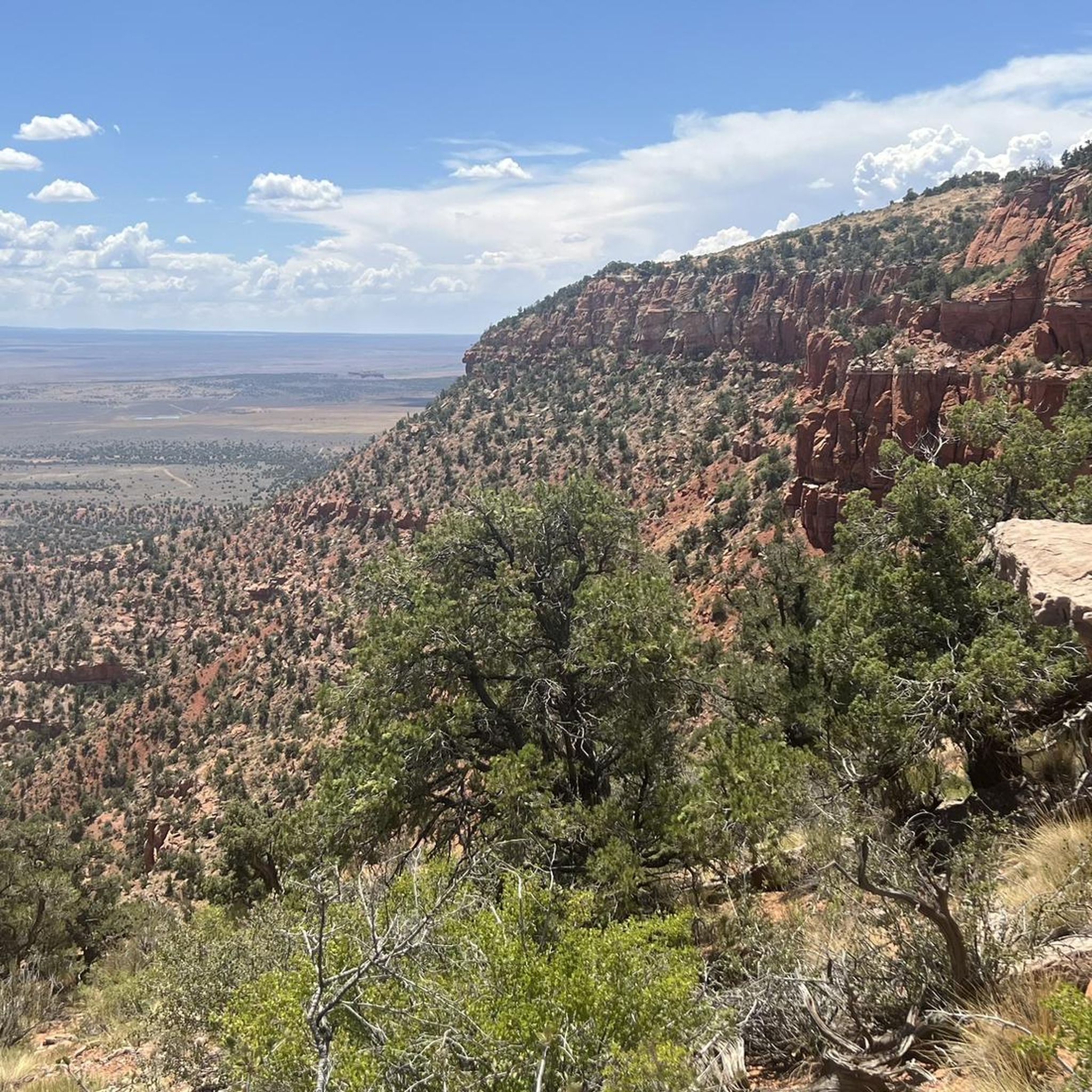
Hiking in Moquith Mountain Wilderness Study Area
Other adventures in Kane County

Tips from the Community

This outlook is worth it. Very nice view and not many people.
0
1

I have absolutely no idea how Komoot can grade this "hike" as easy. I wouldn't even call it a hike, it's a mountaineering hike, as you need full climbing gear from this point on. There is not even a slight mention of this in the preparation or tips sections. Komoot is absolute trash and nearly put us in a very dangerous situation.
0
0


The Virgin River flows through the park, creating a unique riparian ecosystem filled with marshes, natural pools and even swamps! Plus, hundreds of seeps and springs feed into our river and creeks, supporting all kinds of unique wildlife and vegetation. The information board reads: "A swamp in the desert? Strange but true. You can see the water source that is feeding the swamp on the wet cliff face above. The underlying rock in this area cannot absorb all of the water runoff. Consequently the thin layer of soil covering the rock remains continually saturated. The unique assemblage of plants you see here has adapted to this special environment. Help protect this wetland by staying on the trail."
1
0

This is the entrance into Spooky Slot Canyon. On most Southern Utah bucket lists, Spooky Slot Canyon is not particularly technical, but you need to make sure you are physically fit and prepared for the challenge.
2
0
Great viewpoint along the Dry Fork Coyote Gulch Trail. You are treated with a wonderful view of Peeka-boo Slot Canyon.
0
0
very beautiful canyon, safety rope must be taken along
1
0

You can see the entrance of the Peeka-boo Slot Canyon from this point.
0
0
Frequently Asked Questions
How many hiking trails are there in Kane County?
There are over 120 hiking routes to explore throughout Kane County, ranging from short, easy walks to challenging multi-day treks through remote wilderness.
What do other hikers think of the trails in Kane County?
The area is highly rated by the komoot community, with an average score of 4.7 out of 5 stars. Hikers often praise the unique slot canyons, stunning sandstone formations, and the vast, dramatic desert landscapes.
Are there any easy, family-friendly hikes in Kane County?
Yes, there are many options suitable for families. A great choice is the Toadstool Hoodoos Trail, a short 1.9-mile (3.1 km) walk that leads to fascinating mushroom-shaped rock formations, which are fun for all ages.
What are some of the more challenging hikes in the region?
For a strenuous but rewarding experience, consider the Riggs Spring Loop from Rainbow and Yovimpa Point. This 8.8-mile (14.1 km) hike involves significant elevation change and offers a remote backcountry experience within Bryce Canyon National Park.
Where can I find a good introduction to slot canyon hiking?
The Willis Creek Narrows Trail is an excellent choice for a first-time slot canyon experience. It's a relatively easy walk through a beautiful, sculpted canyon, though you should be prepared for the possibility of walking through shallow water.
Are there any good loop trails in the area?
Yes, the Panorama Trail loop in Kodachrome Basin State Park is a fantastic option. This 6.2-mile (10 km) moderate trail showcases some of the park's most impressive geological features, including sand pipes and colorful cliffs.
Can I bring my dog on hikes in Kane County?
Dog regulations vary significantly. Many areas, especially within National Parks like Zion and Bryce Canyon, have strict rules and often prohibit dogs on trails. Areas managed by the Bureau of Land Management (BLM), such as parts of Grand Staircase-Escalante, can be more dog-friendly. Always check the specific regulations for the trail you plan to hike before bringing your pet.
When is the best time of year to hike in Kane County?
Spring (March to May) and fall (September to November) are the ideal seasons for hiking in Kane County. These months offer pleasant temperatures, avoiding the extreme heat of summer. Winter can be cold with a chance of snow, while summer temperatures often exceed 100°F (38°C), making hiking dangerous during the day.
What should I pack for a day hike in the desert?
Packing correctly is crucial for safety. Essentials include:
Water: Carry more than you think you'll need, at least one gallon (4 liters) per person, per day.
Sun Protection: A wide-brimmed hat, sunglasses, and high-SPF sunscreen are non-negotiable.
Navigation: A map, compass, or a GPS device with downloaded offline maps. Do not rely on cell service.
Snacks: High-energy, salty snacks to replenish electrolytes.
Layers: A light jacket, as desert temperatures can drop quickly.
What are the main safety concerns for hiking in this desert environment?
The primary dangers are dehydration and heat-related illnesses. Always carry sufficient water and avoid hiking in the middle of the day during summer. Flash floods are a serious risk in slot canyons; check the weather forecast before entering any narrow canyon and be aware that storms miles away can cause flooding.
Do I need a permit to hike The Wave?
Yes, a permit is absolutely required to hike to The Wave in the Vermilion Cliffs National Monument. Access is strictly controlled to protect the fragile sandstone formations. Permits are awarded through a highly competitive online lottery system well in advance of the desired hiking date. Do not attempt to hike without a permit.
Are there any less-crowded alternatives to the most popular trails?
If you're looking for a quieter experience, consider the East Rim Trail to a view of Jolley Gulch. While still in Zion National Park, it's located on the less-visited eastern side and offers stunning views and a sense of solitude away from the main canyon crowds.
Most popular routes in Kane County
Most popular attractions in Kane County

Get inspired with the komoot mobile app


Didn’t find what you were looking for?
Check out more Hikes throughout Kane County below and find the perfect route in your destination.
Explore more
Browse the best Hikes in other regions.
