The best waterfall hikes and walks in Kane County
4.7
(2767)
33,852
hikers
23
hikes
Waterfall hiking trails in Kane County offer diverse natural landscapes, characterized by the scenic Fox River and an extensive network of forest preserves. The region features woodlands, wetlands, and prairies, providing varied terrain for outdoor activities. Glacial formations and unique fens contribute to the geological diversity, supporting a rich biodiversity of flora and fauna.
Best waterfall hiking trails in Kane County
- The most popular waterfall hiking route is Zion Narrows Top-Down Hiking Route, a 20.5 miles (32.9 km) trail that takes 11 hours 50 minutes to complete. This challenging route features significant elevation gain through varied terrain.
- Another top favourite among local hikers is Zion Narrows Bottom-Up Day-Hiking Route, a moderate 9.1 miles (14.7 km) path. This trail offers a substantial ascent, navigating through the river environment.
- Local hikers also love the The Narrows: Bottom-Up Day Hike, a 3.8 miles (6.0 km) trail leading through river canyons, often completed in about 1 hour 59 minutes.
- Hiking in Kane County is defined by river corridors, dense woodlands, and restored prairies. The network offers options for different ability levels, from easy paths to more difficult ascents.
- The routes in Kane County are highly rated by the komoot community with an average score of 4.7 stars from more than 1,000 reviews. More than 10,000 hikers have used komoot to explore Kane County's varied terrain.
Last updated: July 7, 2026
4.9
(24)
377
hikers
6.04km
02:00
280m
280m
The Narrows: Bottom-Up Day Hike offers an unparalleled journey directly through the Virgin River, surrounded by Zion National Park's colossal Navajo sandstone walls. You'll wade through water, navigate a riverbed of slippery rocks, and marvel at features like Mystery Canyon Falls and the incredibly narrow 'Wall Street' section, where the canyon walls soar up to 1,000 feet high. This 3.8-mile (6.0 km) hike with 922 feet (281 metres) of elevation gain is rated easy, but the unique terrain makes it a memorable adventure.
To plan your visit, remember that water levels in the Virgin River fluctuate, so checking conditions and flash flood risk is crucial. The bottom-up route does not require a wilderness permit up to Big Springs, offering great flexibility to turn back whenever you wish. The estimated duration for this section is just under 2 hours, but allow more time to soak in the scenery and navigate the challenging riverbed.
This trail is renowned as the quintessential Zion experience, immersing you in a slot canyon like no other. The constant presence of the river, the intricate rock formations carved by millennia of water, and the dramatic interplay of light and shadow create a profound sense of awe. It's an ideal choice for those seeking a truly unique and accessible adventure within the park, offering a different perspective than traditional dry trails.
5.0
(3)
22
hikers
33.0km
11:50
840m
1,450m
Embark on the Zion Narrows Top-Down Hiking Route, a challenging 20.5 miles (33.0 km) journey that takes you directly through the Virgin River. This unique "river-as-trail" experience involves hiking in water for much of its duration, gaining 2759 feet (841 metres) over an estimated 11 hours and 49 minutes. You will navigate towering canyon walls, with the canyon narrowing dramatically in sections like Wall Street, creating a truly immersive and cathedral-like environment.
Planning your visit requires careful attention to permits and conditions. A wilderness permit is mandatory for all Top-Down Narrows hikes, and these can be difficult to secure, especially during peak season. It is crucial to check weather forecasts for flash flood warnings and monitor water flow rates; permits are not issued if the Virgin River flow reaches 120 cubic feet per second or more. Be prepared for cold water temperatures in fall and winter, which may necessitate specialized gear like wetsuits.
This route is renowned as one of Zion National Park's most iconic slot canyons, showcasing the immense power of water erosion over millennia. As you progress, the scenery transforms, revealing numerous waterfalls and hidden side canyons carved into the rock. The journey culminates near the Temple of Sinawava, offering a profound appreciation for the natural forces that shaped this landscape.

Sign up for free
8
hikers
4.47km
01:50
300m
150m
Embark on the Zion Narrows Bottom-Up Day-Hiking Route, a truly unique adventure where you hike directly in the Virgin River. This moderate route covers 2.8 miles (4.5 km) with an elevation gain of 986 feet (301 metres), taking about 1 hour and 50 minutes to complete. You will navigate a riverbed of sand and boulders, wading through water that can reach ankle to waist-deep, all while towering Navajo sandstone walls rise dramatically above you, creating a cathedral-like atmosphere.
Before you head out, it is essential to check current water levels and any flash flood warnings, as high flow rates can make the hike dangerous and lead to closures. This bottom-up route does not require a wilderness permit, making it more accessible for many visitors. For better stability on the uneven riverbed, bringing hiking poles is highly recommended.
This immersive journey offers a distinct perspective of Zion National Park's incredible geology, allowing you to experience the iconic slot canyon from within. You will encounter stunning sights like Mystery Canyon Falls and pass through the dramatic 'Wall Street' section, where the canyon narrows to less than 20 feet wide. It is a popular choice for exploring the park's unique natural wonders.
5.0
(2)
14
hikers
24.3km
09:13
630m
1,020m
Embark on the Zion Narrows Top-Down Hiking Route, a difficult adventure that takes you directly through the Virgin River. This unique trail spans 15.1 miles (24.3 km) and involves a significant elevation gain of 2067 feet (630 metres), typically requiring about 9 hours and 13 minutes to complete. As you hike, you'll be surrounded by towering sandstone cliffs, experiencing the dramatic shift from open areas to incredibly narrow sections like "Wall Street," where the canyon walls close in around you.
Before you go, remember that a wilderness permit is essential for this route, and securing one can be challenging, especially during busy times. Always check the weather forecast and current river flow levels, as the trail closes if there's a flash flood warning or high water. You will need specialized gear, including canyoneering shoes and a sturdy walking stick, to safely navigate the riverbed.
This route is renowned for its immersive experience, allowing you to wade through the river while surrounded by a cathedral-like environment. The scenery constantly changes, revealing numerous waterfalls and the vibrant colors of the rock formations as you progress. It's a truly distinctive way to explore Zion National Park, offering a perspective unlike any other trail in the region.
4.3
(6)
142
hikers
14.7km
04:46
650m
650m
Embark on the Zion Narrows Bottom-Up Day-Hiking Route, a moderate 9.2 miles (14.7 km) journey that takes you directly into the Virgin River. You will gain 2118 feet (646 metres) in elevation over an estimated 4 hours and 45 minutes, surrounded by towering sandstone walls. As you hike, the canyon narrows dramatically, sometimes to just 20 to 30 feet wide, creating a unique sense of immersion. Look for iconic sections like Wall Street, where the canyon walls soar up to 1500 feet high and are incredibly close together. This route offers a truly distinct hiking experience within Zion National Park.
Before you head out, always check for flash flood warnings and current river flow conditions, as the Narrows can close due to high water levels or the threat of flash floods. This is an out-and-back route, giving you the flexibility to turn around at any point you choose. The furthest you can go without a wilderness permit is Big Springs, which is about 5 miles upstream from where you enter the river. Planning ahead ensures a safe and enjoyable adventure.
This hike is notable for its unique environment, where the river itself is your trail. The dramatic, cathedral-like setting is formed by ancient geological processes, with the Virgin River carving through the sandstone over millennia. This creates a powerful sense of being deep within the earth, surrounded by natural grandeur. It is a truly special way to experience the raw beauty and scale of Zion Canyon, setting it apart from many other trails in the region.
Get access to more routes and recommendations from other explorers.
Sign up for free
Already have an account?
Our route recommendations are based on thousands of hikes, rides, and runs completed by other people on komoot.
Start today with a free account
Your next adventure awaits.
Login or Signup
Popular around Kane County

Waterfall hikes in Orderville Canyon Wilderness Study Area

Waterfall hikes in Grand Staircase–Escalante National Monument

Waterfall hikes in Parunuweap Canyon Wilderness Study Area

Waterfall hikes in Glen Canyon National Recreation Area
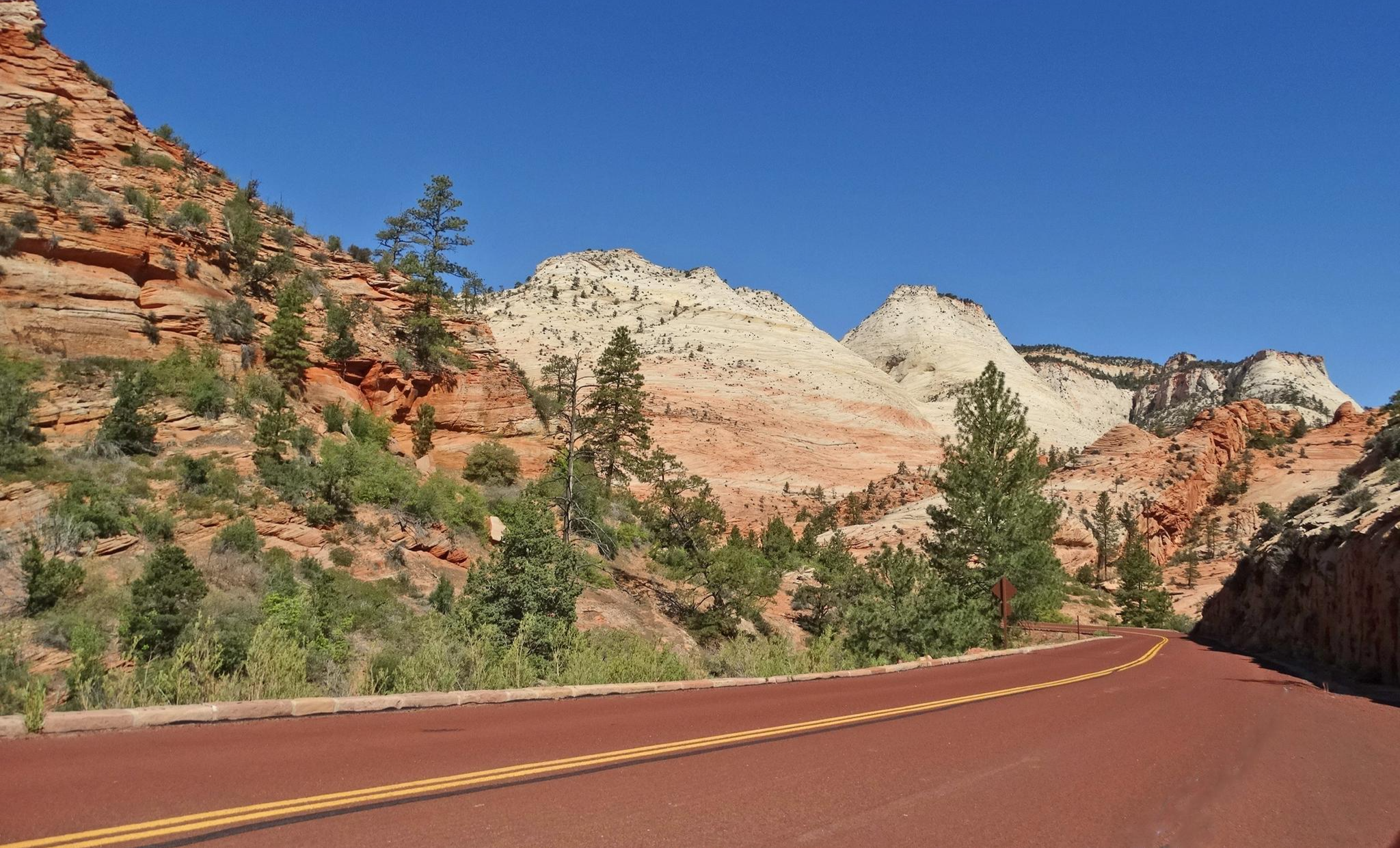
Red Rock to High Country loop — Riding from desert floors to canyon walls
Other adventures in Kane County

Tips from the Community

Important when planning hikes
0
1

The Virgin River flows through the park, creating a unique riparian ecosystem filled with marshes, natural pools and even swamps! Plus, hundreds of seeps and springs feed into our river and creeks, supporting all kinds of unique wildlife and vegetation. The information board reads: "A swamp in the desert? Strange but true. You can see the water source that is feeding the swamp on the wet cliff face above. The underlying rock in this area cannot absorb all of the water runoff. Consequently the thin layer of soil covering the rock remains continually saturated. The unique assemblage of plants you see here has adapted to this special environment. Help protect this wetland by staying on the trail."
1
0

Wear non-slip shoes that can get wet, swimwear or quick-drying sports clothes (change of clothes) and a thick stick
1
0

Important note for anyone who wants to continue hiking into the Narrowwas.
1
0
Natural amphitheater at the end of Zion National Park.
1
0
The Narrows are the narrowest part of the Virgin River gorge. Here you can only continue through the river and with the appropriate equipment.
2
0

The Temple of Sinawava is a massive amphitheater carved by the Virgin River. With beautiful waterfalls, hanging gardens of lush foliage & flowers and 3,000 foot red rock cliffs, it's no wonder why this is one of Zion's most popular spots.
0
0
Frequently Asked Questions
How many waterfall hiking trails are available in Kane County?
Kane County offers a diverse range of outdoor experiences, and while specific named waterfall trails are not extensively detailed in the provided data, there are over 18 hiking routes in the region. These trails traverse varied landscapes including woodlands, wetlands, and prairies, often along the scenic Fox River, which contributes to the area's natural beauty and potential for discovering water features.
Are there easy waterfall hikes suitable for beginners or families in Kane County?
Yes, Kane County's trail network includes numerous easy and moderate options, making it accessible for various fitness and skill levels. Out of the available routes, 3 are classified as easy, and 7 as moderate. These trails are generally well-maintained, consisting of paved paths, crushed gravel, and natural surfaces, perfect for families or those new to hiking.
What are some notable natural attractions or landmarks near hiking trails in Kane County?
Kane County is rich in natural beauty and interesting landmarks. Along your hikes, you might encounter diverse landscapes such as the extensive forest preserves, restored prairies, and wetlands. Notable nearby attractions include various lakes like Navajo Lake and Jackson Flat Reservoir, as well as unique natural monuments such as Natural Bridge and Wire Pass Slot Canyon. The Fox River Trail itself is a major highlight, offering connections to preserves like Fabyan Forest Preserve, which features the Fabyan Windmill.
When is the best time of year to experience the natural beauty of Kane County's trails?
The natural beauty of Kane County can be enjoyed year-round. Spring brings a stunning display of wildflowers and spring ephemerals carpeting the forest floors, while summer offers vibrant prairies and cool shade in the woodlands. Autumn showcases beautiful fall foliage, and even winter provides a tranquil, unique experience of the frozen landscapes. The preserves are open daily from sunrise to sunset.
What kind of terrain can I expect on hikes in Kane County?
Hiking in Kane County offers a variety of terrain. You can expect paths through dense woodlands with majestic red oaks, expansive restored prairies, and serene wetlands. Many trails follow the scenic Fox River, providing river views. Some locations, like Bluff Spring Fen, feature unique geological formations such as gravel kames, and glacial ridges can be found at places like Elburn Forest Preserve and Johnson's Mound Forest Preserve. Trails range from paved to crushed gravel and natural surfaces.
Where can I find parking for hiking trails in Kane County?
Most forest preserves and trailheads in Kane County offer designated parking areas. Given the extensive network of nearly 100 properties across 23,000 acres, parking is generally available at the entrances to these preserves. It's always advisable to check specific preserve websites or komoot tour details for precise parking information before your visit.
What do other hikers say about the trails in Kane County?
The trails in Kane County are highly rated by the komoot community, with an impressive average score of 4.7 stars from over 1,000 reviews. More than 10,000 hikers have used komoot to explore the region. Reviewers often praise the diverse natural landscapes, the well-maintained paths, and the opportunities for wildlife observation, including deer, sandhill cranes, and various bird species.
Can I bring my dog on hiking trails in Kane County?
Many forest preserves in Kane County are dog-friendly, allowing leashed dogs on their trails. However, specific rules can vary by preserve, so it's always best to check the regulations for the particular location you plan to visit. Ensuring your dog is on a leash and you clean up after them helps maintain a pleasant experience for all visitors and protects the local wildlife.
Are there any circular or loop hiking routes in Kane County?
Yes, Kane County offers several loop options within its extensive trail network. For instance, the Dick Young Forest Preserve features an easy loop trail that circles Nelson Lake, showcasing prairie and wetland habitats. Many other preserves, like LeRoy Oakes Forest Preserve and Tekakwitha Woods, have interconnected paths that can be combined to create circular routes of varying lengths and difficulties.
What should I wear or bring for a hike in Kane County?
For hiking in Kane County, it's recommended to wear comfortable, weather-appropriate clothing and sturdy footwear suitable for varied terrain, which can include paved paths, crushed gravel, and natural surfaces. Depending on the season, layers are advisable. Bringing water, snacks, and insect repellent (especially in warmer months) is always a good idea. Binoculars can enhance wildlife viewing, and a camera will capture the scenic beauty.
Are there any cafes or places to eat near the hiking trails in Kane County?
Kane County has several towns and communities along the Fox River, such as Elgin, St. Charles, Geneva, and Batavia, which offer various dining options. Many preserves are located near these towns, making it convenient to find cafes, restaurants, or pubs for a meal or refreshment before or after your hike. Exploring these local establishments can be a great way to complement your outdoor adventure.
Are there options for public transport to reach hiking trails in Kane County?
While many forest preserves are best accessed by car, some areas of Kane County, particularly those along the Fox River and near urban centers, may have limited public transport options. For specific routes or preserves, it's recommended to check local bus schedules or regional transit services like Pace Bus, which serves the suburban Chicago area, for connections to trailheads.
Can I hike in Kane County during winter?
Yes, Kane County's preserves are open daily from sunrise to sunset year-round, including winter. Hiking in winter offers a unique and tranquil experience, with snow-covered landscapes and the chance to observe wildlife in a different setting. Be sure to dress warmly in layers and wear appropriate footwear for potentially icy or snowy conditions. Some trails may be used for cross-country skiing or snowshoeing.
Most popular routes in Kane County
Most popular attractions in Kane County

Get inspired with the komoot mobile app


Didn’t find what you were looking for?
Check out more Hikes throughout Kane County below and find the perfect route in your destination.
Explore more
Browse the best Hikes in other regions.
