The best walks and hikes around Confignon
4.5
(1419)
15,613
hikers
828
hikes
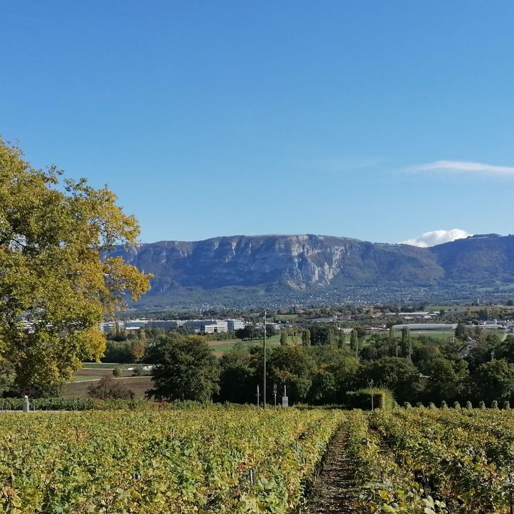
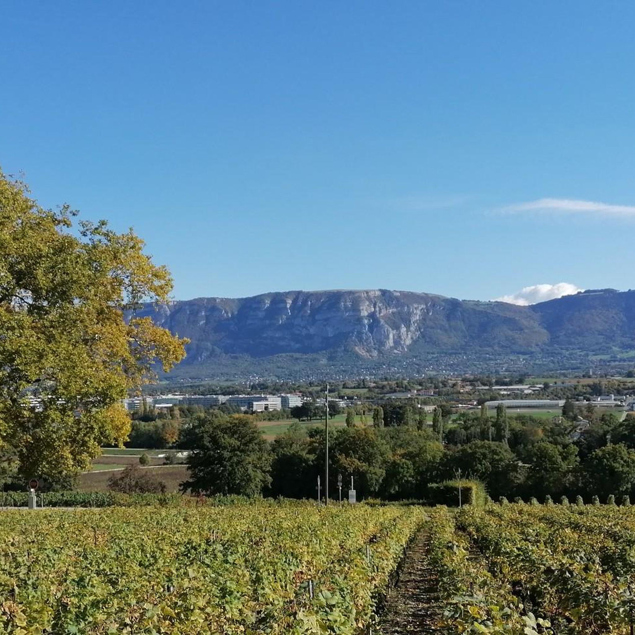
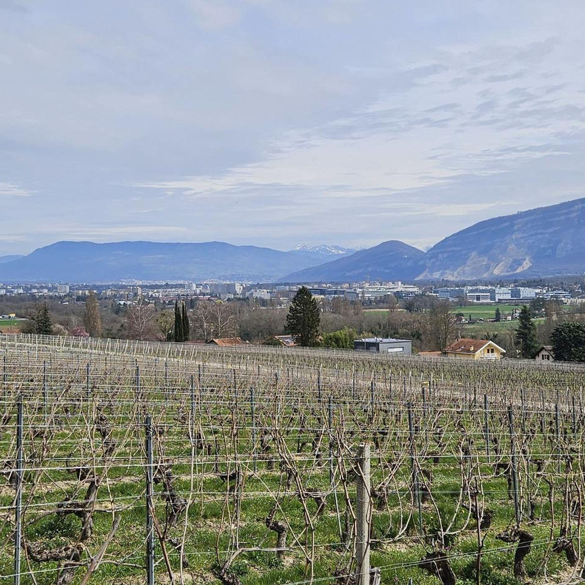
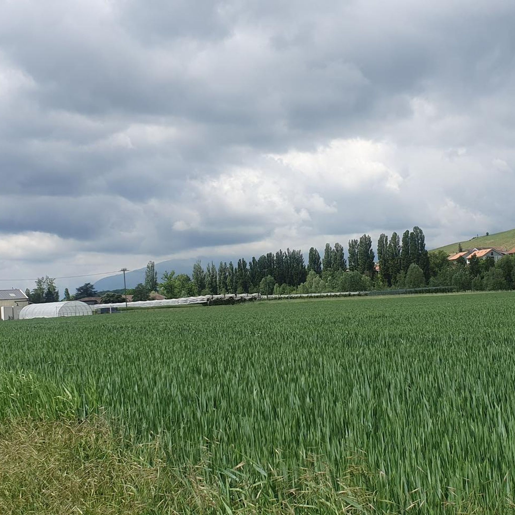
Hiking trails around Confignon traverse a varied topography, encompassing significant agricultural areas, forested sections, and green spaces. The municipality is situated along the left side of the Rhone river, with the Vallon de l'Aire forming a key natural feature. Hikers can explore vineyards and enjoy views of the Salève mountain from various points. The landscape offers a mix of natural settings and cultivated land.
Best hiking trails around Confignon
- The most popular hiking route is Compesières Commandery Loop, an…
Last updated: July 5, 2026
4.5
(4)
8
hikers
13.2km
03:28
100m
100m
Moderate hike. Good fitness required. Easily-accessible paths. Suitable for all skill levels.
4.0
(1)
3
hikers
6.09km
01:40
100m
90m
Easy hike. Great for any fitness level. Easily-accessible paths. Suitable for all skill levels.

Sign up for free
20.9km
05:30
180m
180m
Hard hike. Very good fitness required. Mostly accessible paths. Sure-footedness required.
4.6
(29)
173
hikers
7.92km
02:06
80m
80m
Moderate hike. Good fitness required. Easily-accessible paths. Suitable for all skill levels.
5.0
(6)
59
hikers
Moderate hike. Good fitness required. Easily-accessible paths. Suitable for all skill levels.
Get access to more routes and recommendations from other explorers.
Sign up for free
Already have an account?
Our route recommendations are based on thousands of hikes, rides, and runs completed by other people on komoot.
Start today with a free account
Your next adventure awaits.
Login or Signup

Tips from the Community


This metal bridge spans the Rhone. It offers a beautiful view of the river on one side and an impressive view of the motorway viaduct from below on the other.
0
0

The Chèvres footbridge is the eleventh bridge furthest upstream of the Rhône after its exit from Lake Geneva. It connects the village of Chèvres, located in the territory of the commune of Bernex, on the left bank, and the wastewater treatment plant of the commune of Vernier, on the right bank. The Chèvres footbridge was built in 1898 by Constant Butticaz. at the same time as the neighboring Chèvres hydroelectric plant which was demolished in 1947. At the same time, the footbridge was demolished and rebuilt.
0
0

Pedestrian path which runs along the Rhône towards the Chèvre footbridge
0
0

The Passerelle du Lignon is a 136-meter-long bridge over the Rhone that also serves as an oil pipeline. It can only be accessed on foot or by bicycle.
4
0

An impressive view of the Rhône. There is also a swimming spot a little down the road, however the currents can be strong so be careful. A great place for a picnic (no facilities, but nice views).
3
1
The Bernex signal is a hill which rises to an altitude of 509 meters. It dominates the Aire plain and offers lovely views of Geneva's Champagne, the Salève and the Jura massif.
1
0

It is the second highest point in the canton of Geneva (510m) after Moniaz. You have to take a few steps on foot from the location of the must-see to reach the summit. There we discover a lovely panorama of the Geneva region. 4 orientation tables give us information on the fauna, the history of the region and some anecdotes.
0
0
Frequently Asked Questions
How many hiking trails are available around Confignon?
Confignon offers a wide variety of hiking opportunities, with over 800 routes available. These include more than 460 easy trails, nearly 300 moderate routes, and over 50 challenging hikes, ensuring options for all skill levels.
What makes hiking in Confignon unique?
Hiking in Confignon provides a diverse experience, blending significant agricultural areas, forested sections, and green spaces. You can explore picturesque vineyards, walk along the renaturated Vallon de l'Aire, and enjoy scenic views of the Salève mountain from various points. The region's thematic walks also highlight its rich historical and cultural heritage.
Are there family-friendly hiking options in Confignon?
Yes, Confignon is well-suited for families. Many of the thematic walks, such as La Promenade de l'Aire and La Promenade du Coteau, are designed to be accessible for all audiences, including those with reduced mobility and strollers. These routes often feature children's games and points of interest along the way, making them engaging for younger hikers.
Can I find circular hiking routes in the area?
Absolutely. Many of Confignon's trails are designed as loops, allowing you to start and end at the same point. An example is the Compesières Commandery Loop, which is a moderate 8.2-mile (13.2 km) trail exploring diverse landscapes.
What kind of natural attractions can I see while hiking near Confignon?
The region is rich in natural beauty. You can explore the ecological value of the renaturated Vallon de l'Aire, enjoy the scenic beauty of local vineyards, and experience the green belts and forested areas. For specific natural monuments, consider visiting the Orjobet Cave or The Trou de la Tine, which are notable highlights in the wider area.
Are there any historical landmarks or points of interest along the trails?
Yes, Confignon's thematic walks are designed to showcase its historical and cultural heritage. For instance, La Promenade du Coteau delves into significant historical events and built heritage. You might also encounter the 'Croix de Chavant and vineyard', recognized as a natural monument, along this route. The Jet d'Eau Fountain in nearby Geneva is also a prominent landmark.
What do other hikers enjoy most about hiking in Confignon?
The hiking trails around Confignon are highly rated by the komoot community, with an average score of 4.5 stars from over 1300 reviews. Hikers often praise the varied terrain, from agricultural fields to green spaces, and the well-maintained paths that showcase the region's natural beauty and ecological value, particularly along the Vallon de l'Aire.
Are there any trails that pass through vineyards?
Yes, Confignon is known for its vineyards, which offer beautiful backdrops for walks. The Bernex and Genevan Vineyards Loop is a prime example, leading you directly through these picturesque landscapes and areas of historical heritage.
How accessible are the hiking trails by public transport?
Confignon's commitment to accessibility extends to its public transport connections. Many trailheads are reachable via local public transport, allowing hikers to access the diverse network of paths without a car. It's advisable to check local bus schedules for specific starting points.
Are there easy hiking routes suitable for beginners?
Certainly. Confignon offers a good selection of easy routes perfect for beginners or those looking for a relaxed stroll. An excellent option is the Walk along the Aire and the Signal de Bernex — loop from Lully, an easy 3.8-mile (6.1 km) path that follows the scenic Vallon de l'Aire.
What is the best time of year to go hiking in Confignon?
Confignon offers pleasant hiking conditions throughout much of the year. Spring and autumn provide mild temperatures and beautiful scenery, with vineyards changing colors. Summer is also popular, especially for shaded forest walks. While some trails may be accessible in winter, it's always best to check local conditions for snow or ice.
Most popular routes around Confignon
Most popular attractions around Confignon

Get inspired with the komoot mobile app


Explore more
Browse the best Hikes in other regions.
