The best running trails around Haukelandsvatnet
4.4
(100)
6,731
runners
210
runs
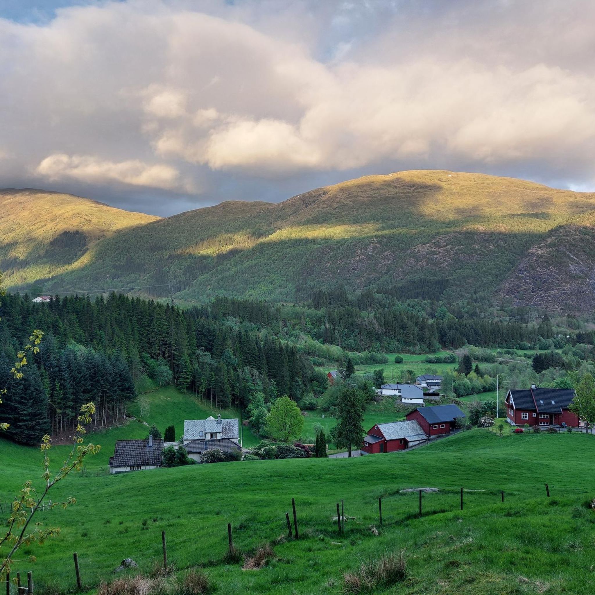
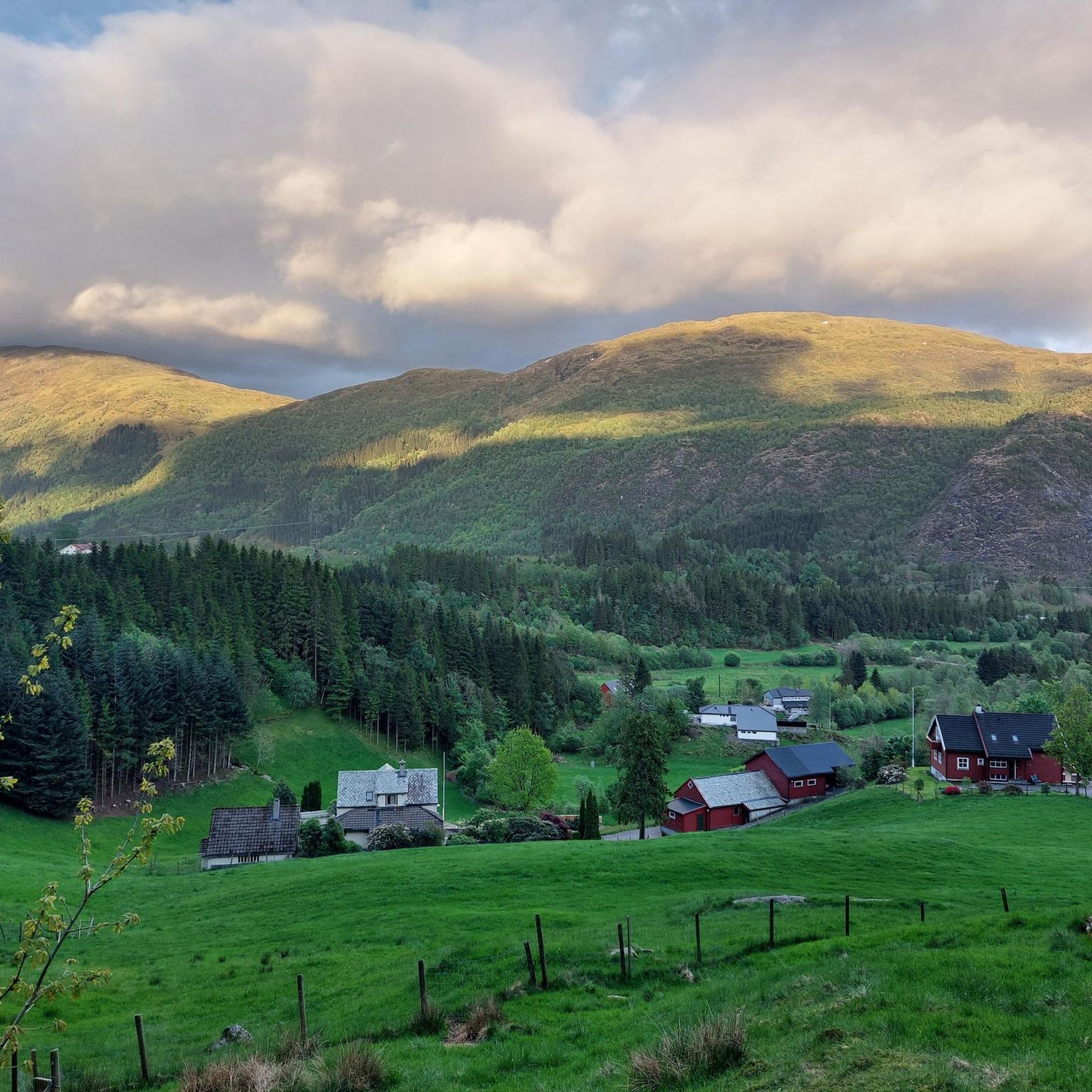
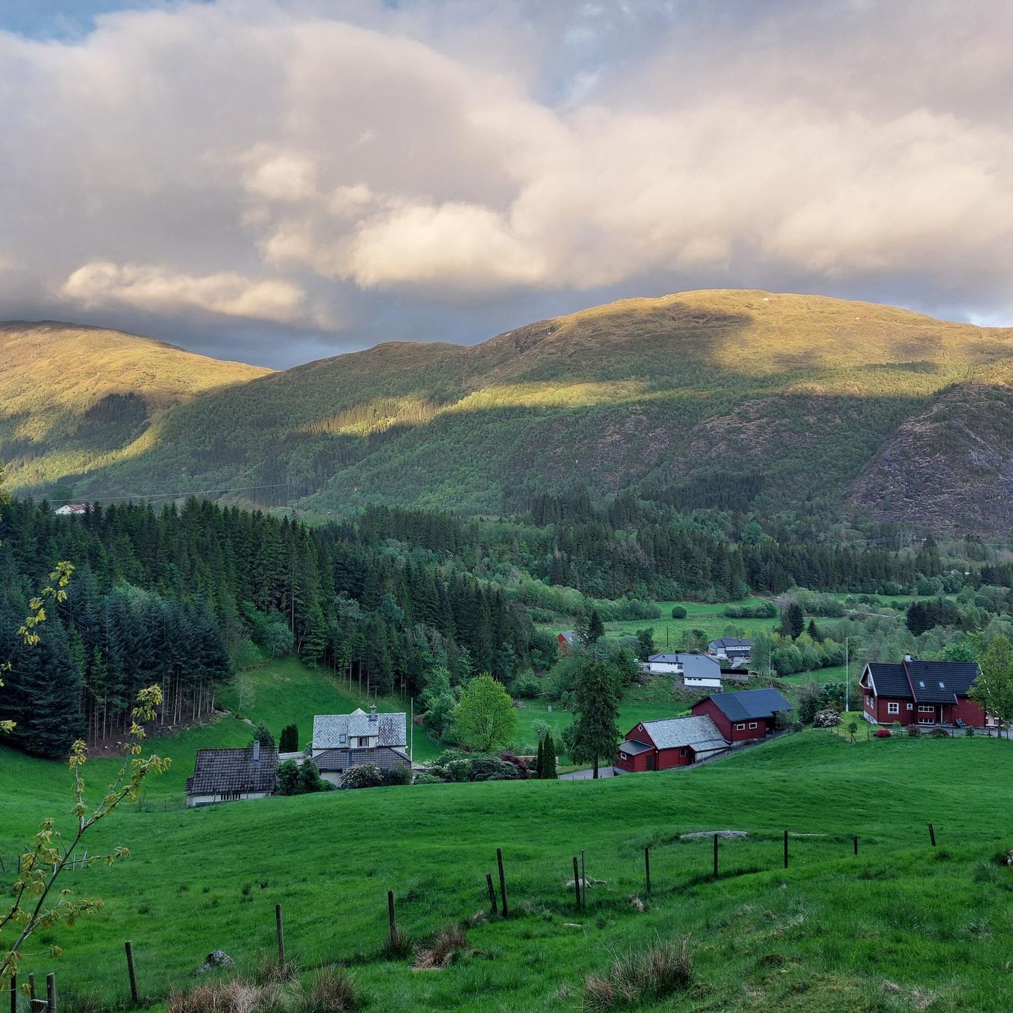
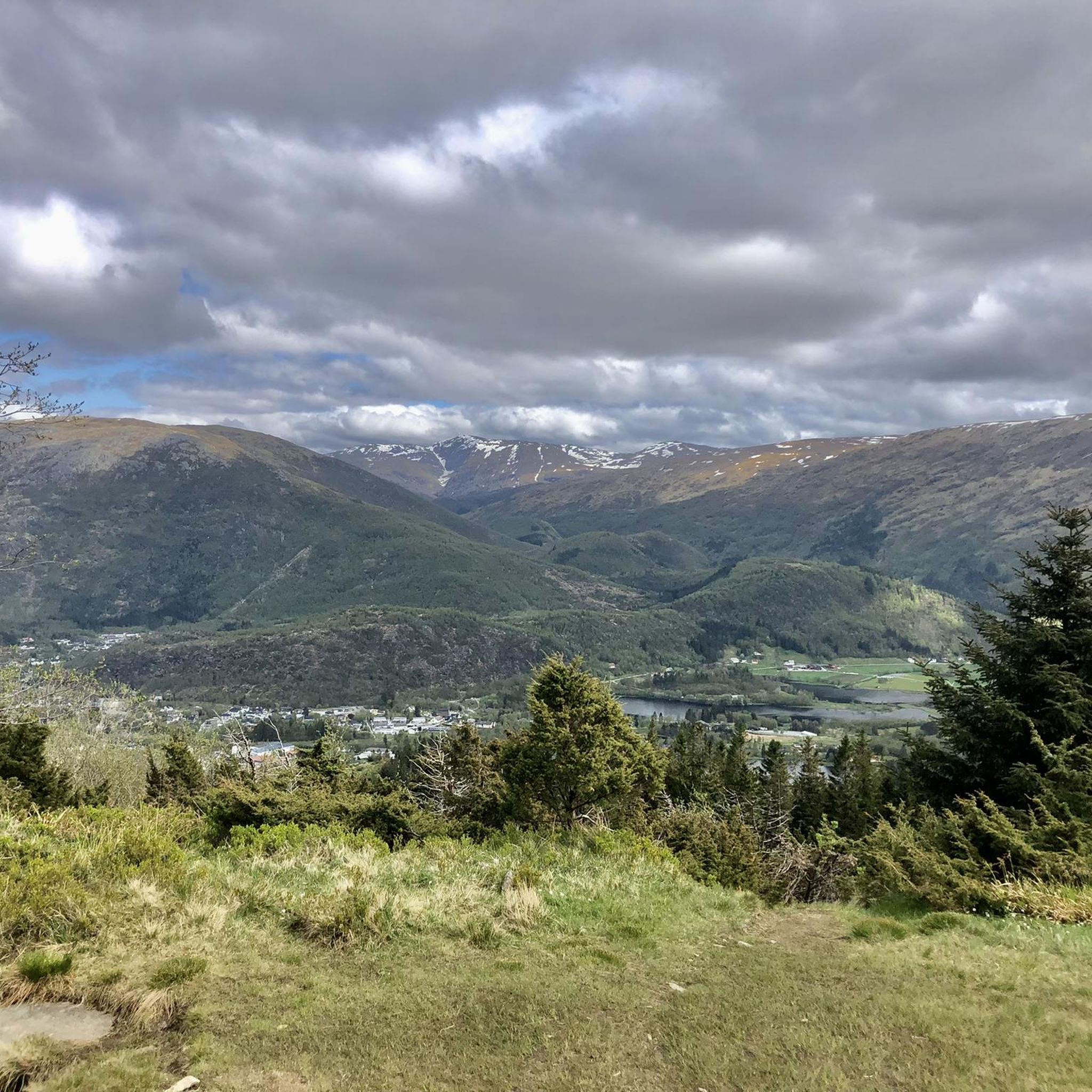
Jogging around Haukelandsvatnet offers a diverse landscape for runners, characterized by the freshwater lake itself and its surrounding natural features. The region provides a mix of paved and accessible paths, suitable for various fitness levels. Elevation changes are present on some routes, ranging from gentle inclines to more significant climbs, with nearby hills contributing to the varied terrain. The area also features the protected Nesvika naturreservat, adding ecological interest to the running experience.
Best jogging routes around Haukelandsvatnet
- The most…
Last updated: July 1, 2026
4.6
(5)
92
runners
6.97km
00:43
40m
50m
Moderate run. Good fitness required. Mostly paved surfaces. Suitable for all skill levels.
3
runners
9.59km
01:02
160m
160m
Moderate run. Good fitness required. Mostly paved surfaces. Suitable for all skill levels.

Sign up for free
4
runners
14.9km
02:41
780m
780m
Hard run. Very good fitness required. Sure-footedness, sturdy shoes and alpine experience required.
4.6
(8)
110
runners
9.06km
00:58
90m
90m
Moderate run. Good fitness required. Mostly paved surfaces. Suitable for all skill levels.
2.0
(1)
10
runners
10.8km
01:17
200m
200m
Moderate run. Good fitness required. Mostly paved surfaces. Suitable for all skill levels.
Get access to more routes and recommendations from other explorers.
Sign up for free
Already have an account?
Our route recommendations are based on thousands of hikes, rides, and runs completed by other people on komoot.
Start today with a free account
Your next adventure awaits.
Login or Signup

Tips from the Community

Turnerhytten sits high on the side of Gullfjellet, with incredible views over Bergen, the fjords, and rugged peaks – well worth the climb.
0
0

Perched on the slopes of Gullfjellet, Turnerhytten offers a breathtaking view over Bergen, the surrounding fjords, and rugged mountain landscapes. This cozy cabin is a perfect reward after a challenging hike.
0
0

Beautiful climb and surroundings. Magnificent view when there is no cloud.
1
0

Altitude 643 m Location: Vestland Province, Norway It is the highest of the seven mountains surrounding the center of Bergen. There are radio and telecommunications masts on the mountain. There is also a restaurant. You can reach the top on foot or by cable car. A beautiful hike.
1
0
You can get to the top by cable car or on foot. It's a bit strenuous to walk (1333) stairs to the top. Bus and cable car ticket there and back costs around €50
0
0

From the summit of Ulriken, you can enjoy a breathtaking 360° panoramic view of Bergen, the surrounding fjords, and the rugged mountains of the Norwegian coast. On a clear day, the view extends far out to sea, while the city lies picturesquely nestled far below. Whether after a strenuous hike up the Sherpa Stairs or a relaxing ride on the Ulriksbanen cable car, the view from the highest of the seven mountains is an absolute highlight and rewards every visitor with unforgettable impressions.
4
0

Nice top with enough space for a break, even if some of the cable-car people make it over to the top.
3
1
The view is an absolute highlight, although this here is not Ulriken, but the end of the cable car! The way up the stairs is tiring, when you choose the alternative route it is actually quite enjoyable. The stairs are also the standard training route of the locals, so it can be a bit crowded there in the weekends. Downside of the top is the cable car are the crows up here, but they quickly disperse if you hike further up to the actual top.
1
0
Frequently Asked Questions
How many running routes are available around Haukelandsvatnet?
There are over 200 running routes around Haukelandsvatnet, offering a wide variety of options for all fitness levels. These include easy, moderate, and challenging trails.
Are there running routes suitable for families with children?
Yes, Haukelandsvatnet offers several family-friendly running routes. Many paths are paved and accessible, making them suitable for leisurely jogs. You can find 13 easy routes that are generally well-suited for families.
What kind of terrain can I expect on the jogging paths around Haukelandsvatnet?
The terrain around Haukelandsvatnet is diverse, featuring a mix of paved and accessible paths. Some routes offer gentle inclines, while others, particularly longer ones, include more significant elevation changes due to the surrounding hills. This variety ensures options for both casual joggers and those seeking a more rigorous workout.
What are the best routes for scenic views or natural attractions?
For scenic views, consider routes that pass through or near the Hardbalen loop from Nesvika naturreservat. This protected wetland area is known for its birdlife and tranquil atmosphere. While not directly on the lake, the broader Bergen area offers panoramic views from nearby peaks like Ulriken, which can be seen from some higher vantage points on longer trails.
Is Haukelandsvatnet accessible by public transport?
The fan-out queries suggest users are interested in public transport access. While specific bus routes aren't detailed in the provided data, Haukelandsvatnet is located near Bergen, which has a public transport network. It is advisable to check local bus schedules for routes connecting to the Haukeland or Lone areas for direct access to the trails.
Are there parking facilities available for runners?
Yes, based on user queries about parking, it's understood that parking is a consideration for runners. While specific parking lots aren't detailed, areas like Nesvika naturreservat, Lone, and Haukeland, which serve as starting points for popular loops, typically have designated parking areas for visitors.
What is the best time of year to go running around Haukelandsvatnet?
Haukelandsvatnet offers enjoyable running conditions throughout much of the year. Spring and autumn provide pleasant temperatures and beautiful scenery. Winter running is possible, but conditions may vary, requiring appropriate footwear and awareness of potential ice or snow. The region's natural beauty is particularly vibrant during warmer months.
Are there any circular running routes around the lake?
Yes, several popular routes around Haukelandsvatnet are circular. Examples include the Running loop from Lone, the Hardbalen loop from Haukeland, and the Ågotaskaret loop from Espeland. These loops allow you to start and finish at the same point, offering convenient exploration of the area.
What makes the Nesvika naturreservat special for runners?
The Nesvika naturreservat, located at the northeastern end of Haukelandsvatnet, is a protected wetland area significant for its diverse birdlife. Running through or alongside this reserve, such as on the Hardbalen loop from Nesvika naturreservat, offers a unique opportunity to enjoy tranquil natural surroundings and observe various bird species in their natural habitat, adding an ecological dimension to your run.
What do other runners say about the trails around Haukelandsvatnet?
The running routes in Haukelandsvatnet are highly rated by the komoot community, with an average score of 4.4 stars from over 100 reviews. More than 7,000 runners have used komoot to explore the varied terrain, often praising the diverse landscape, the mix of paved and natural paths, and the serene atmosphere for outdoor activities.
Are there any challenging running trails for experienced runners?
Absolutely. While there are many moderate options, Haukelandsvatnet also offers challenging routes with significant elevation gains for experienced runners. For example, the Lægdetjernet – Hauggjelsvarden loop from Lone is a difficult 13.8 km trail with over 780 meters of elevation gain, providing a demanding workout and rewarding views.
Are there any easy or accessible running paths for beginners?
Yes, beginners or those looking for a more relaxed run will find suitable options. Many paths around Haukelandsvatnet are paved and relatively flat, offering accessible routes. There are 13 routes specifically classified as 'easy' in the area, perfect for a gentle introduction to running or a recovery jog.
Can I find routes with significant elevation gain for a more intense workout?
Certainly. For those seeking a more intense workout, routes like the Lægdetjernet – Hauggjelsvarden loop from Lone offer substantial elevation changes, with over 780 meters of ascent. These trails provide a challenging experience and are ideal for building strength and endurance.
Most popular routes around Haukelandsvatnet

Get inspired with the komoot mobile app


Explore more
Browse the best Running Trails & Routes in other regions.
