The best running trails in Washington County
5.0
(1)
93
runners
16
runs
Jogging routes in Washington County traverse a diverse landscape, characterized by the Appalachian Trail's mountain ridges, dense forests, and riverfront paths along the Potomac. The region offers varied terrain, from challenging climbs to more gentle, paved surfaces. Runners can explore protected parklands and historic towpaths, providing a mix of natural beauty and historical interest.
Best jogging routes in Washington County
- The most popular jogging route is Big Red Trail, a 5.1 miles (8.2 km) trail that takes about 55 minutes to complete. This moderate route winds through the lush forests of Greenbrier State Park.
- Another top favourite among local runners is Appalachian Trail: Greenbrier to Washington Monument, a difficult 7.1 miles (11.5 km) path. This section of the Appalachian Trail offers significant elevation gain and scenic views along the ridge.
- Local runners also love the Maryland Heights and C&O Canal Loop, a 12.9 miles (20.8 km) trail leading through historic sites and along the Potomac River, often completed in about 2 hours 30 minutes.
- Jogging in Washington County is defined by mountain trails, riverfront paths, and dense forests. The network offers options for different ability levels, from challenging climbs on the Appalachian Trail to more accessible routes along the C&O Canal towpath.
- The routes in Washington County are highly rated by the komoot community with an average score of 5.0 stars from 1 review. More than 100 runners have used komoot to explore Washington County's varied terrain.
Last updated: August 31, 2026
5.0
(1)
7
runners
8.22km
00:55
190m
190m
The Big Red Trail offers a dynamic jogging experience through a beautiful Appalachian hardwood forest, providing a secluded loop once you move past the Greenbrier Lake area. You'll encounter varied terrain, from nearly smooth paths to moderately technical singletrack with rocky sections, especially engaging during fall when the foliage bursts with color. Keep an eye out for local wildlife and the picturesque mountain laurel blooms in season.
Planning your visit is straightforward, with the trail well-marked by red blazes and detailed maps available at the Greenbrier State Park office. Be aware that a day-use fee is required to enter the park, and dogs are permitted seasonally. Ample parking is available for runners, but it's always wise to check park hours and any specific seasonal advisories.
This 5.1-mile (8.2 km) loop, with its 609 feet (186 metres) of elevation gain, is rated as moderate and can typically be completed in about 55 minutes, making it a solid workout. It's a popular spot for trail running and even hosts events like "The Greenbrier Challenge," showcasing its appeal for those seeking a good physical test in a natural setting.
8
runners
11.5km
01:37
360m
360m
This segment of the Appalachian Trail from Greenbrier State Park to Washington Monument State Park offers a rugged and rewarding experience, winding through dense forestry and along the South Mountain ridgeline. You'll navigate significant inclines and declines, often over rocky terrain, with the reward of expansive views from the historic Washington Monument. The path provides a blend of natural beauty and a genuine physical challenge, making it a memorable journey for those who enjoy a technical trail.
To tackle this difficult 7.1-mile (11.5 km) route, which includes 1195 feet (364 metres) of elevation gain and typically takes around 1 hour and 36 minutes, plan to arrive early, especially on weekends, as parking at both Greenbrier State Park and Washington Monument State Park can fill up. The trail can be muddy in spots, particularly within Greenbrier State Park, so appropriate footwear is a must. Fall foliage season offers particularly stunning visuals, but the trail is accessible and enjoyable in other seasons too.
This section of the AT is notable for leading to the first monument dedicated to George Washington, predating the more famous one in D.C., and often allows for climbing to the top for 360-degree panoramic views. Its location along the South Mountain ridgeline, combined with its historical significance and proximity to major cities, makes it a popular destination for section hikers and joggers seeking a challenging yet accessible piece of the iconic Appalachian Trail.

Sign up for free
5
runners
20.8km
02:31
370m
370m
If you're seeking a diverse and challenging jogging experience near Harpers Ferry, the Maryland Heights and C&O Canal Loop delivers. This route blends the tranquil, flat C&O Canal Towpath, where you can spot wildlife along the Potomac River, with the demanding ascent of the Maryland Heights Trail. The highlight is undoubtedly the Maryland Heights Overlook, which provides spectacular panoramic views of Harpers Ferry and the river confluence, making the strenuous climb worthwhile.
This difficult 12.9-mile (20.8 km) loop involves 1204 feet (367 metres) of elevation gain and typically takes about 2 hours and 31 minutes to jog. While the C&O Canal section is smooth, the Maryland Heights portion features steep, rocky terrain, so come prepared with appropriate footwear and plenty of water, as facilities are scarce on the mountain. It's a great option for experienced joggers looking for a significant workout.
Beyond the physical challenge, this route is steeped in Civil War history, with well-preserved ruins and historical markers along the Maryland Heights Trail. You'll encounter remnants of Union fortifications and artillery batteries, offering a unique blend of natural beauty and historical significance. The C&O Canal itself is a historical marvel, preserving remnants of America's transportation history.
2
runners
11.7km
01:29
220m
220m
This segment of the Appalachian Trail offers a fantastic opportunity for trail runners to tackle a moderate 7.3-mile (11.7 km) route, featuring 725 feet (221 metres) of elevation gain and an estimated duration of 1 hour and 28 minutes. You'll navigate through dense, mature forests, experiencing the trail's characteristic mix of rocky, root-laden paths and smoother sections. The route provides a true sense of the A.T.'s natural beauty, often feeling like a secluded journey through a "green tunnel" of trees, with the occasional glimpse of the historic Ed Garvey Shelter.
When planning your visit, remember that the Appalachian Trail jogging difficulty is higher than road running; specialized trail running shoes are highly recommended for the varied terrain. While this section is accessible, it's wise to check local conditions, especially during wet periods when roots and rocks can be slick. Starting your run earlier in the day is often best, particularly in warmer months, to enjoy cooler temperatures and potentially less crowded sections.
The Appalachian Trail is not just a path; it's a monumental achievement in conservation, largely maintained by dedicated volunteers from 31 trail clubs. This particular segment allows you to connect with that rich history and the unique community surrounding the trail. It's a chance to experience a piece of the world's longest hiking-only trail, offering a profound sense of accomplishment and a deep dive into nature.
2
runners
11.2km
01:28
240m
240m
The Appalachian Trail to White Rocks Overlook offers a classic Mid-Atlantic trail running experience, winding through serene pine forests and over distinctive rugged quartzite rock outcrops. You'll navigate challenging, rocky terrain that demands careful foot placement, especially on the ascent, before reaching the expansive View of White Rocks. From this panoramic vantage point, you can take in sweeping views of the valley, including Middletown, and the distant Catoctin Mountain Range.
This moderate 7.0-mile (11.2 km) route involves 787 feet (240 metres) of elevation gain and typically takes about 1 hour and 27 minutes to jog. It's best suited for experienced trail runners or hikers comfortable with technical, uneven surfaces. Parking is usually available at trailheads along the Appalachian Trail, and visiting during spring or fall offers the most pleasant conditions and best visibility.
This trail is notable for its connection to the iconic Appalachian National Scenic Trail, allowing you to experience a piece of this legendary long-distance footpath. The White Rocks themselves are often geologically significant, featuring ancient rock formations. The route provides a fantastic opportunity to combine a good workout with outstanding scenic vistas in Frederick County, Maryland.
1
runners
9.71km
01:21
330m
330m
Jogging the Appalachian Trail from Pen Mar to High Rock offers a difficult 6.0-mile route with 1074 feet of elevation gain.
11
runners
29.3km
03:30
110m
110m
Hard run. Very good fitness required. Mostly paved surfaces. Suitable for all skill levels.
12
runners
10.6km
01:18
70m
70m
Moderate run. Good fitness required. Mostly paved surfaces. Suitable for all skill levels.
8
runners
9.90km
01:24
360m
360m
Hard run. Very good fitness required. Mostly paved surfaces. Suitable for all skill levels.
6
runners
9.89km
01:03
40m
40m
Moderate run. Good fitness required. Mostly paved surfaces. Suitable for all skill levels.
Get access to more routes and recommendations from other explorers.
Sign up for free
Already have an account?
Our route recommendations are based on thousands of hikes, rides, and runs completed by other people on komoot.
Start today with a free account
Your next adventure awaits.
Login or Signup
Popular around Washington County

Running Trails around Yarrowsburg

Running Trails around Brownsville

Running Trails around Highfield-Cascade
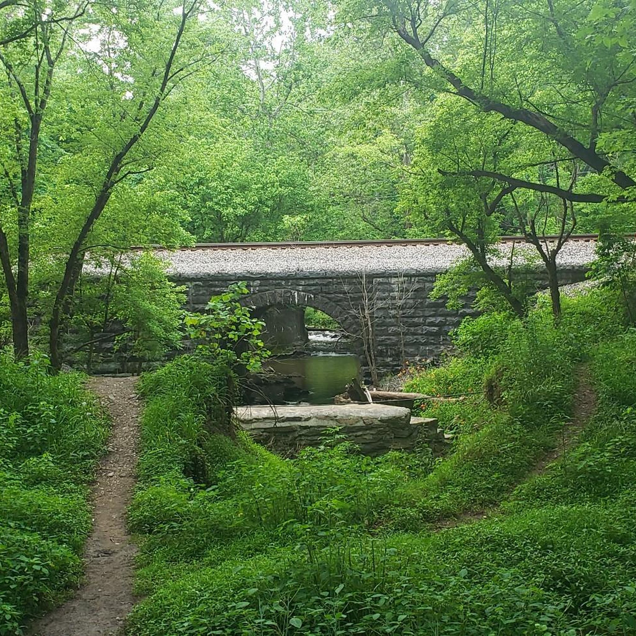
Running Trails around Sandy Hook

Running Trails around Garretts Mill
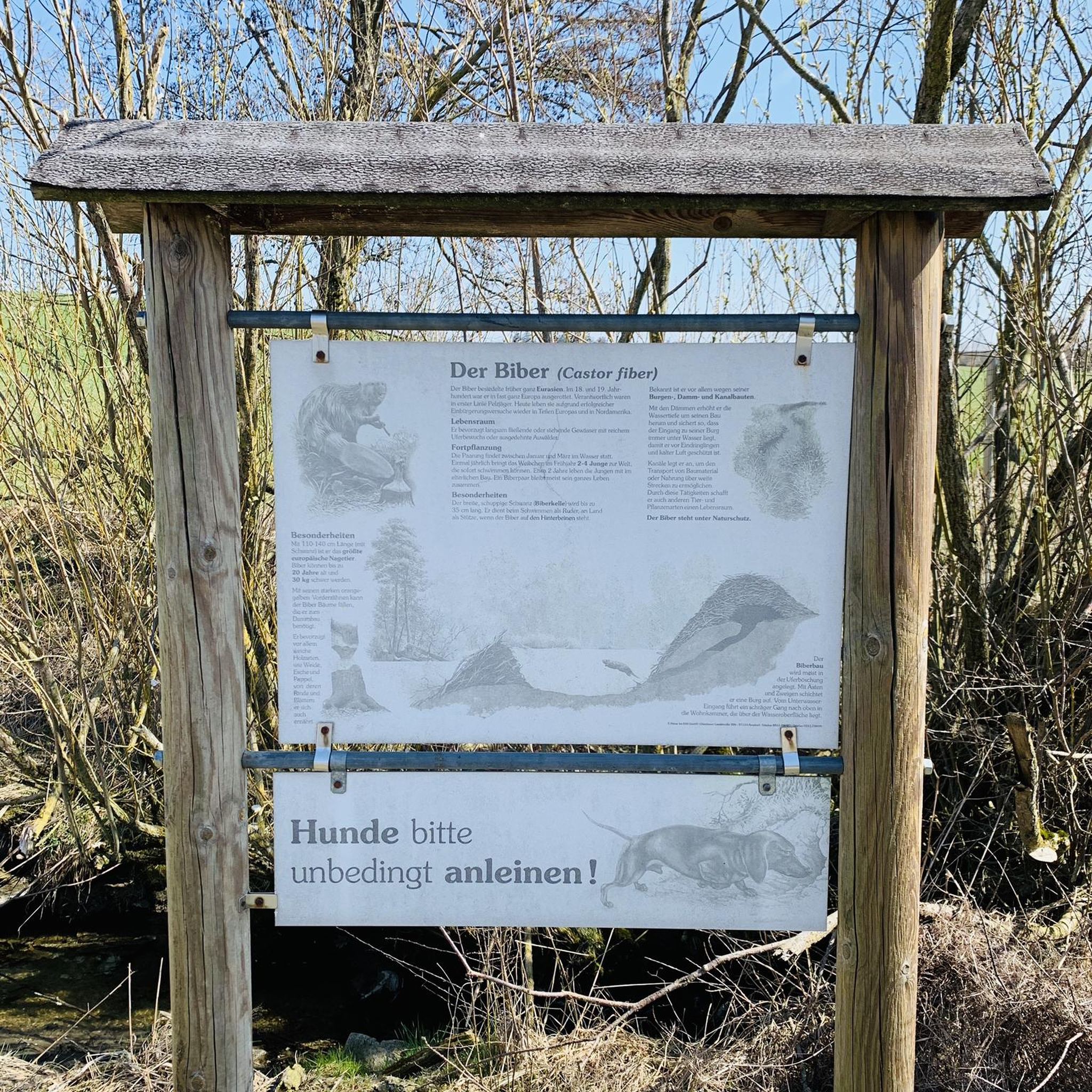
Running Trails around Boonsboro
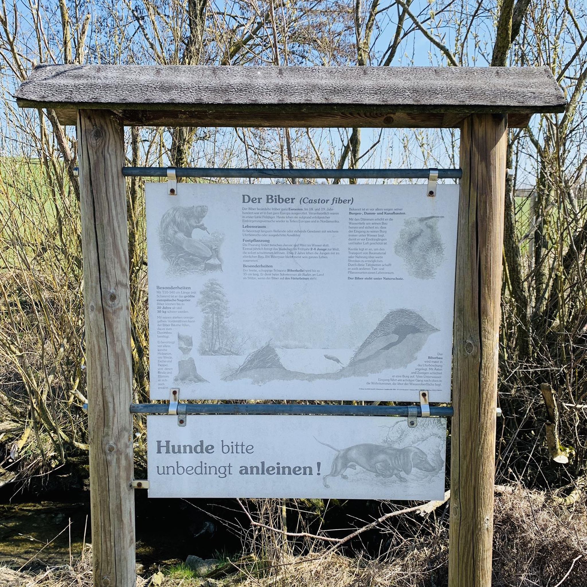
Running Trails around Keedysville
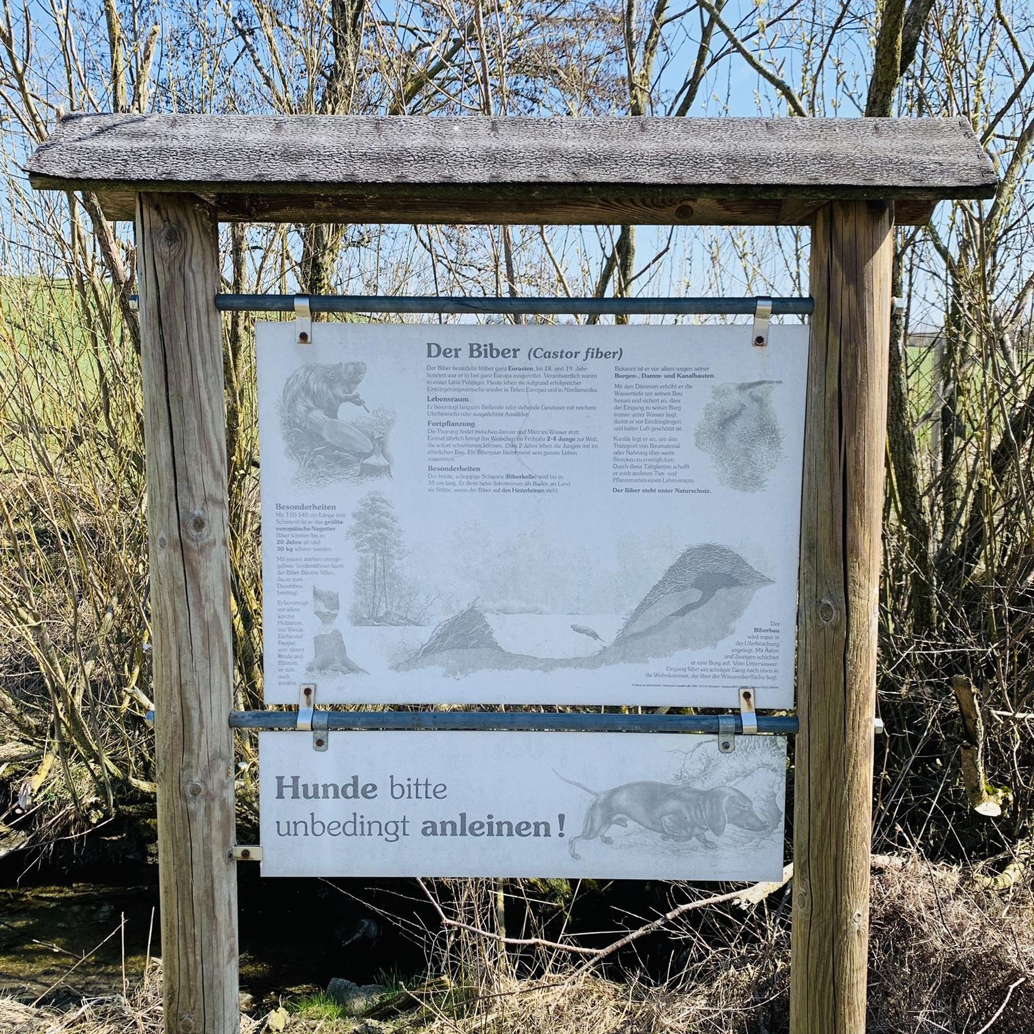
Running Trails around Mapleville
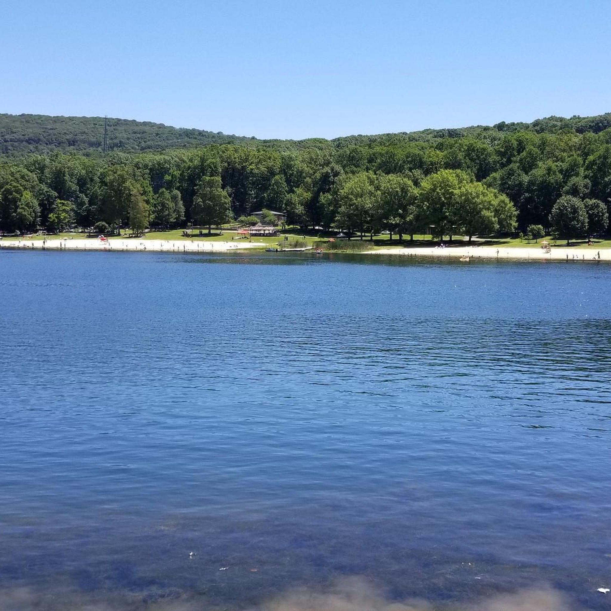
Running Trails in Greenbrier State Park
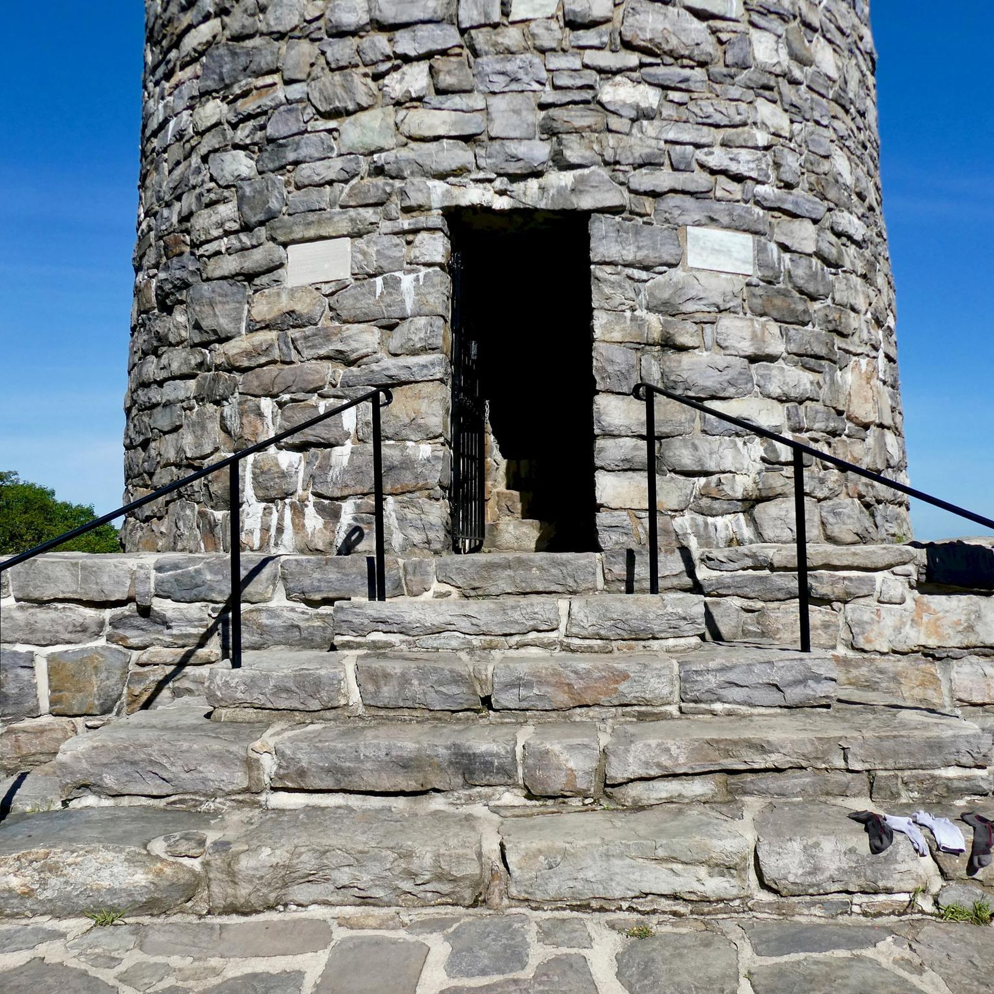
Running Trails in Washington Monument State Park
Other adventures in Washington County


Tips from the Community

One of my favorite rides! The trail is well maintained and smooth. So many spots to rest and take breathtaking pics
1
0

Shepherdstown, West Virginia, is the oldest town in the state (founded in 1762) and has a fun, vibrant college-town atmosphere. Located along the Potomac River at mile 72 of the C&O Canal Towpath, it is home to Shepherd University, giving it a lively college-town vibe with great cafés, restaurants, and shops. Rich in Civil War history, it played a role in the aftermath of the Battle of Antietam, as wounded soldiers were treated here. With its historic district, riverside views, and plenty of accommodations, Shepherdstown is a perfect overnight stop for cyclists C&O Canal Towpath or to just visit when exploring the area.
0
0

The Potomac River has a mix of flatwater and whitewater, visible as you pedal along the C&O Canal bike trail; this is a great spot to stop and watch some of those rapids.
0
0

High Rock is a park and overlook about an hour and a half outside of Baltimore and just off of the Appalachian Trail. There is a large graffitied rock (and surrounding rocks) with a great vantage point on the surrounding foothills. If you have the time, fill up a bag of trash because this local spot could use some love.
0
0

This is a tough but challenging section of the Appalachian Trail that climbs through beautiful forestry to High Rock lookout from Pen Mar.
0
0
This section of the Appalachian Trail weaves up and down the landscape of the South Mountain State Park. It's a challenging trail run with plenty of inclines and declines throughout, and travels through beautiful forestry. The path can get rocky underfoot and tends to collect ice in the winter, so it would be best done in the summer months.
0
0

Located at 1,535 feet in the Washington Monument State Park, Monument Knob is a peak with great views of the surrounding landscape. The mountain is situated along the Appalachian National Scenic Trail, so make sure to visit while hiking along the popular trail.
0
0
Greenbrier State Park is nestled in the picturesque Catoctin Mountains of Maryland. It offers a pristine lake, lush forests, and scenic hiking/running trails, and a range of outdoor activities from swimming and fishing to picnicking and camping.
0
0
Frequently Asked Questions
How many running routes are available in Washington County?
Washington County offers a diverse network of over 15 running routes, catering to various fitness levels. These routes traverse mountain ridges, dense forests, and riverfront paths, providing a mix of natural beauty and historical interest.
What are the difficulty levels of running trails in Washington County?
The running trails in Washington County range from moderate to difficult. You'll find 5 moderate routes, such as the Appalachian Trail to White Rocks Overlook, and 10 difficult routes, including challenging sections of the Appalachian Trail like the Appalachian Trail: Pen Mar to High Rock.
Are there any circular running routes in Washington County?
Yes, Washington County features several circular running routes. A notable option is the Maryland Heights and C&O Canal Loop, which is a 12.9-mile (20.8 km) difficult trail leading through historic sites and along the Potomac River.
What kind of scenic views can I expect on Washington County's running trails?
Runners in Washington County can enjoy a variety of scenic views, from panoramic overlooks atop South Mountain to tranquil riverfront vistas along the Potomac. Trails often pass through lush forests and offer glimpses of historic landmarks. For breathtaking views, consider routes that lead to Annapolis Rock or Black Rock Cliff.
What landmarks or historical sites can I see along the running routes?
Washington County's running routes are rich with historical significance. You can explore sites like the Maryland Heights Stone Fort, the historic C&O Canal towpath, and the Round Top Cement Mill. The Maryland Heights – Shenandoah River Bridge loop from Harpers Ferry offers a chance to see the historic Harpers Ferry area.
What do other runners enjoy most about jogging in Washington County?
The running routes in Washington County are highly rated by the komoot community, with an average score of 5.0 stars from 1 review. Runners often praise the diverse terrain, from challenging mountain climbs to accessible riverfront paths, and the blend of natural beauty with historical interest.
Are there any dog-friendly running trails in Washington County?
Many trails in Washington County's public lands, including sections of the Appalachian Trail and C&O Canal towpath, are generally dog-friendly, provided dogs are kept on a leash. Always check specific park regulations before heading out with your canine companion.
What is the best time of year to go running in Washington County?
The best time to go running in Washington County is typically during the spring and fall. These seasons offer pleasant temperatures, vibrant foliage, and fewer crowds. Summer can be warm and humid, while winter may bring snow and ice, especially on higher elevation trails.
Are there any running routes suitable for families in Washington County?
While many routes in Washington County are moderate to difficult, the C&O Canal towpath offers flatter, more accessible sections that can be suitable for families. These paths provide a gentle surface and scenic views along the Potomac River, perfect for a leisurely family run or walk.
Are there running routes that offer a significant challenge in Washington County?
Absolutely. Washington County is known for its challenging terrain, particularly along the Appalachian Trail. Routes like the Appalachian Trail: Greenbrier to Washington Monument and the Appalachian Trail – Washington Monument loop from Washington Monument feature significant elevation gains, making them ideal for experienced runners seeking a demanding workout.
Can I find running routes near water features in Washington County?
Yes, Washington County offers several running opportunities near water. The C&O Canal National Historical Park adjoins the Potomac River for 79 miles, providing a scenic towpath for running. Additionally, Big Pool is a notable lake in the area that might be near some trails.
Are there any long-distance running trails in Washington County?
For those looking for longer runs, Washington County provides extensive options. The Appalachian Trail – Washington Monument loop from Washington Monument is a challenging 17.3-mile (27.9 km) route, and the C&O Canal towpath offers miles of continuous, relatively flat terrain for extended distances.
Most popular routes in Washington County
Most popular attractions in Washington County

Get inspired with the komoot mobile app


Didn’t find what you were looking for?
Check out more Running Trails & Routes throughout Washington County below and find the perfect route in your destination.
Explore more
Browse the best Running Trails & Routes in other regions.
