The best walks and hikes in Lazio
4.4
(24007)
120,879
hikers
4,527
hikes
Hiking in Lazio offers diverse landscapes, from the rugged Apennine Mountains in the east to the Tyrrhenian coastline in the west. The region features numerous volcanic lakes, extensive forests, and ancient pathways. Trails traverse varied terrain, including mountainous areas, coastal parks, and historical sites. This geographical diversity provides a range of hiking experiences across different elevations and environments.
Best hiking trails in Lazio
- The most popular hiking route is The great ring of Veio – Veio Park, a 6.2…
Last updated: October 10, 2026
4.2
(395)
911
hikers
10.0km
02:44
150m
150m
Embark on The great ring of Veio – Veio Park, a captivating hike that blends ancient history with diverse natural beauty. This moderate 6.2-mile (10.0 km) route, which takes about…
4.3
(146)
837
hikers
17.7km
04:48
120m
430m
Moderate hike. Good fitness required. Easily-accessible paths. Suitable for all skill levels.

4.5
(146)
785
hikers
16.8km
04:57
590m
290m
Moderate hike. Good fitness required. Easily-accessible paths. Suitable for all skill levels.
4.6
(133)
731
hikers
23.0km
06:17
300m
370m
Hard hike. Very good fitness required. Easily-accessible paths. Suitable for all skill levels.
4.6
(273)
661
hikers
8.45km
02:37
330m
330m
The Monte Catillo Reserve Loop offers a moderate hiking experience, covering 5.2 miles (8.4 km) with an elevation gain of 1070 feet (326 metres). You can expect to complete this…
4.4
(115)
703
hikers
23.0km
06:34
450m
560m
Hard hike. Very good fitness required. Easily-accessible paths. Suitable for all skill levels.
4.8
(119)
645
hikers
24.1km
06:36
340m
380m
Hard hike. Very good fitness required. Easily-accessible paths. Suitable for all skill levels.
4.7
(198)
647
hikers
10.3km
03:30
370m
370m
The Monte Autore Loop from Campo dell'Osso offers a rewarding moderate hike through the Simbruini Mountains. As you ascend, you will pass through ancient beech forests, which are particularly vibrant…
4.3
(116)
631
hikers
23.9km
06:30
320m
300m
Hard hike. Very good fitness required. Easily-accessible paths. Suitable for all skill levels.
4.6
(242)
843
hikers
15.8km
04:33
380m
380m
Embark on the Lago Albano ring tour, a moderate hike that circles the deep blue volcanic lake within the Parco dei Castelli Romani. This route, spanning 9.8 miles (15.8 km)…
Get access to more routes and recommendations from other explorers.
Already have an account?
Our route recommendations are based on thousands of hikes, rides, and runs completed by other people on komoot.
Start today with a free account
Your next adventure awaits.
Popular around Lazio
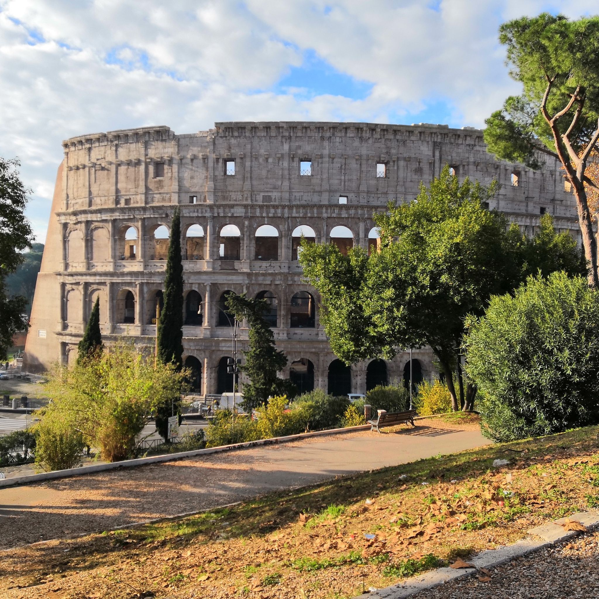
Hiking in Rome
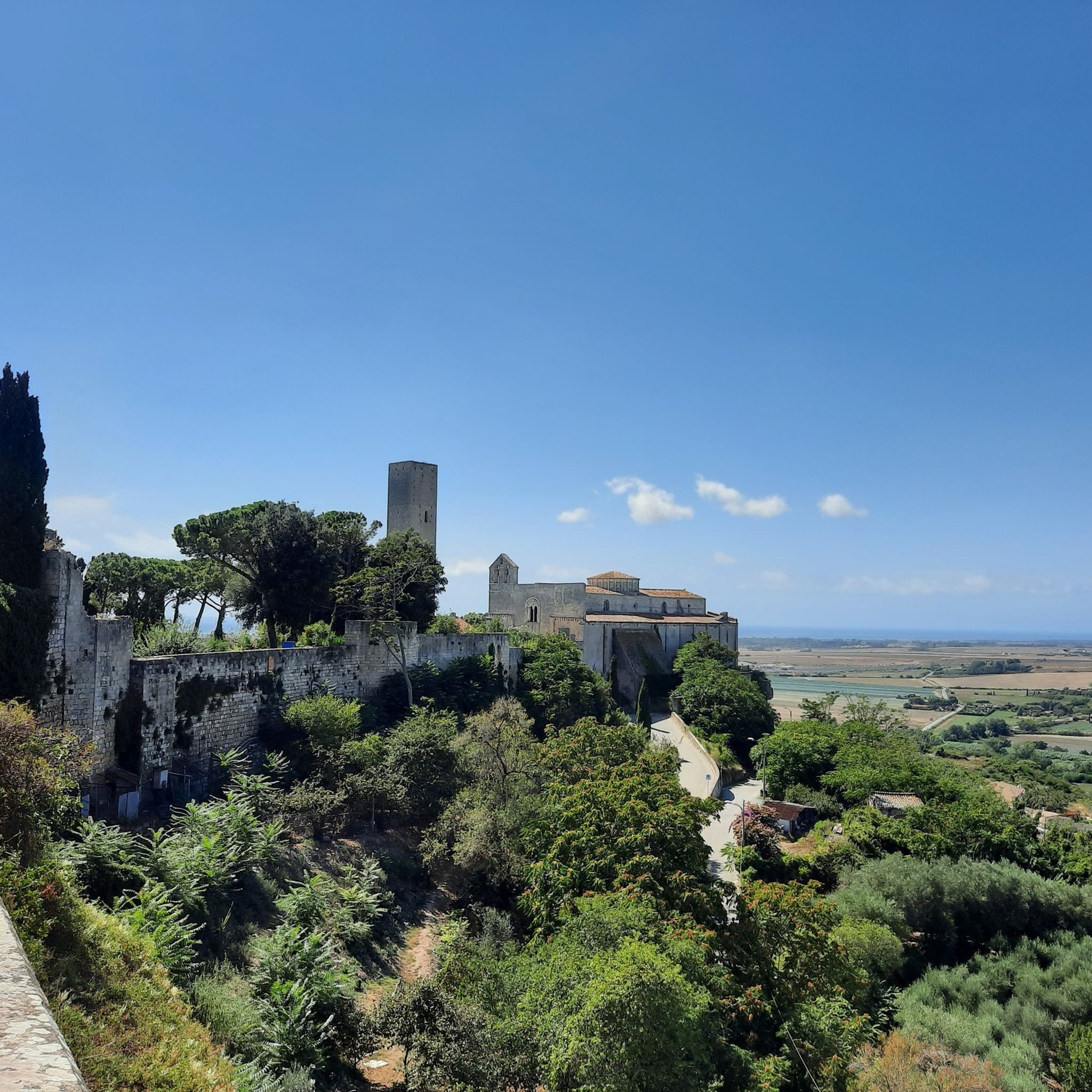
Hiking in Viterbo
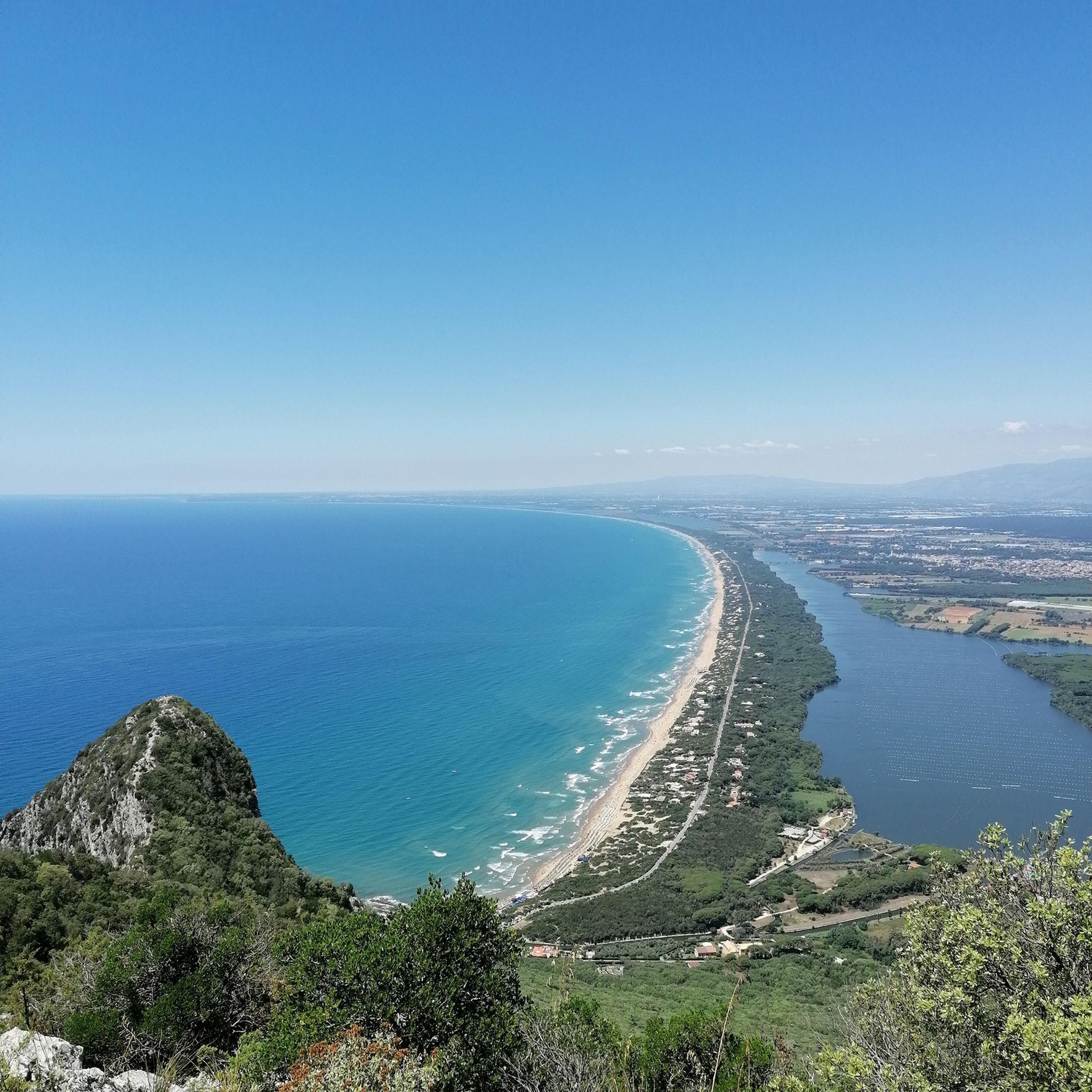
Hiking in Latina
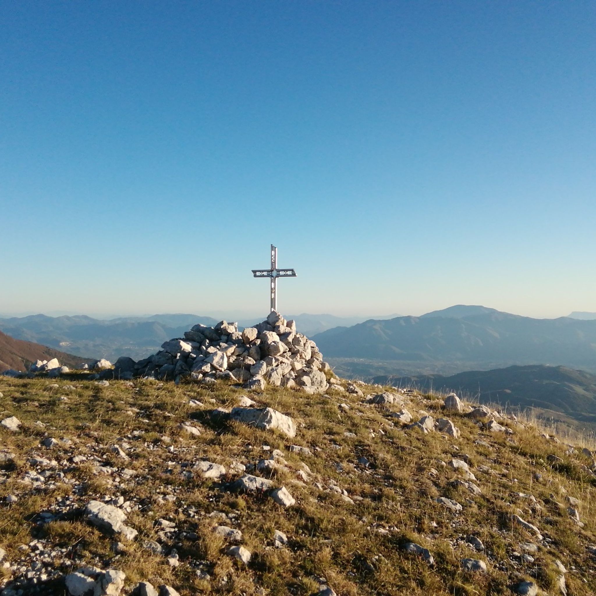
Hiking in Frosinone
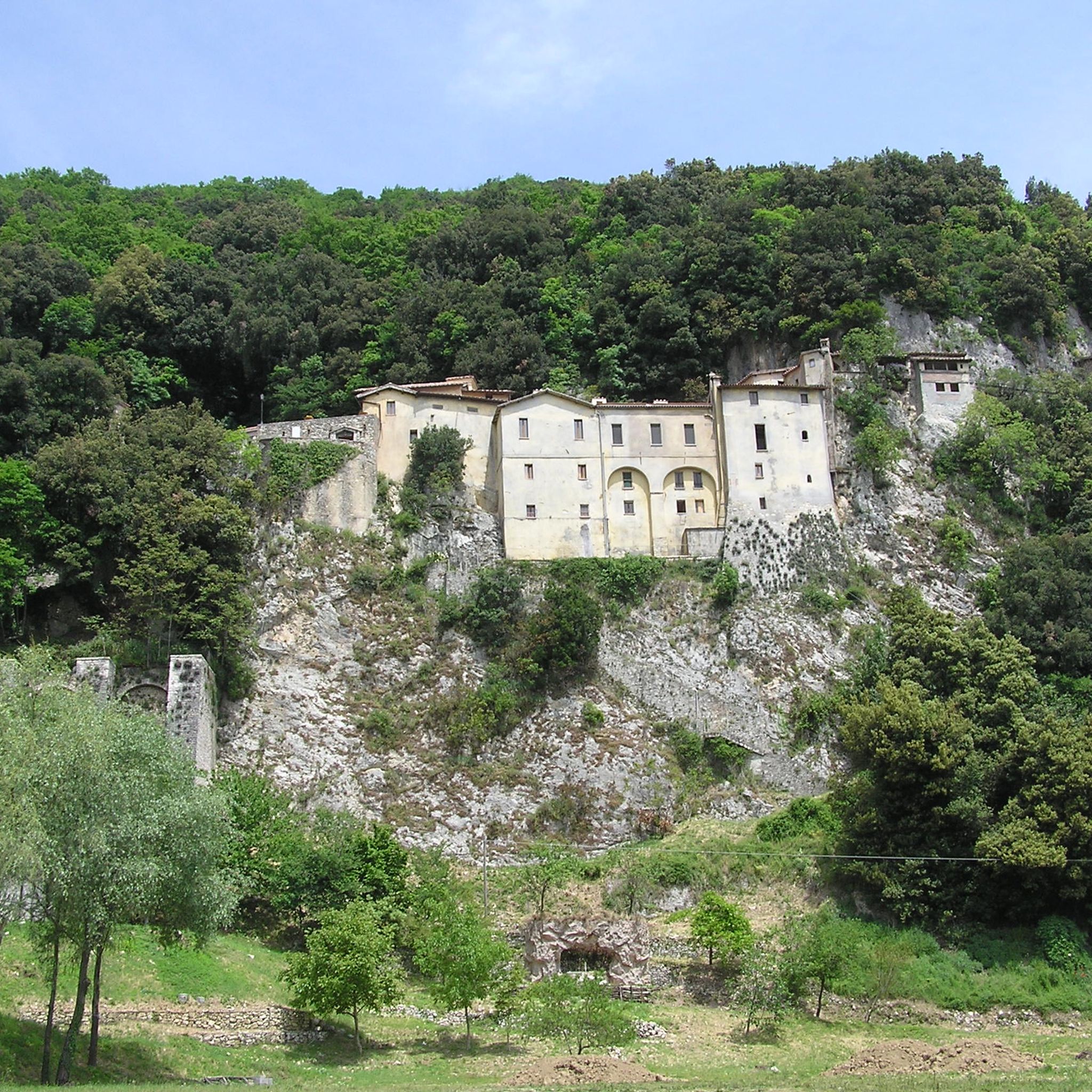
Hiking in Rieti
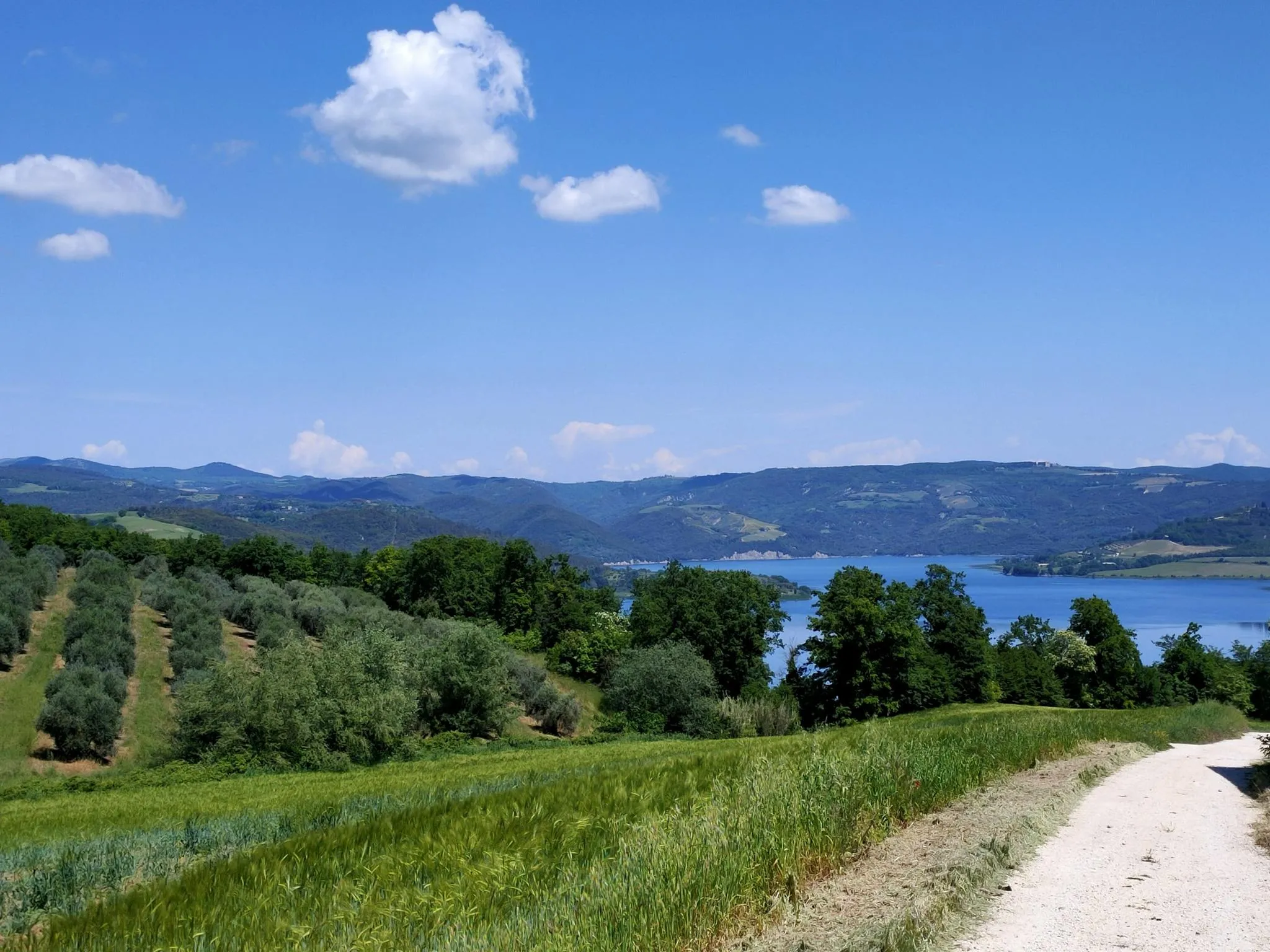
Italian Coast2Coast – From Portonovo to Orbetello

Via Francigena South — Siena to Rome
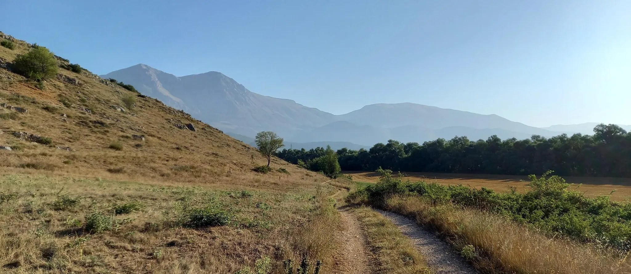
Hike from Rome to the Adriatic Sea – Way of St. Thomas
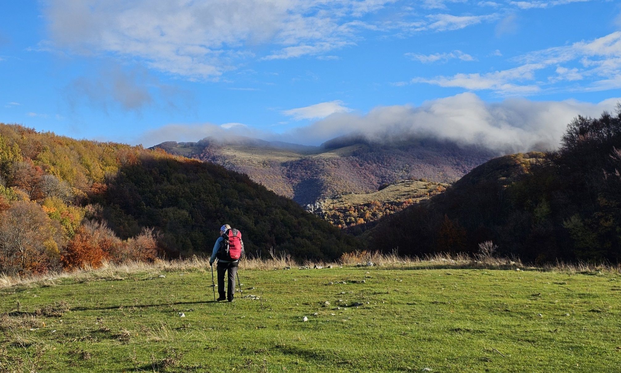
A colourful journey – hike in the Simbruini Mountains
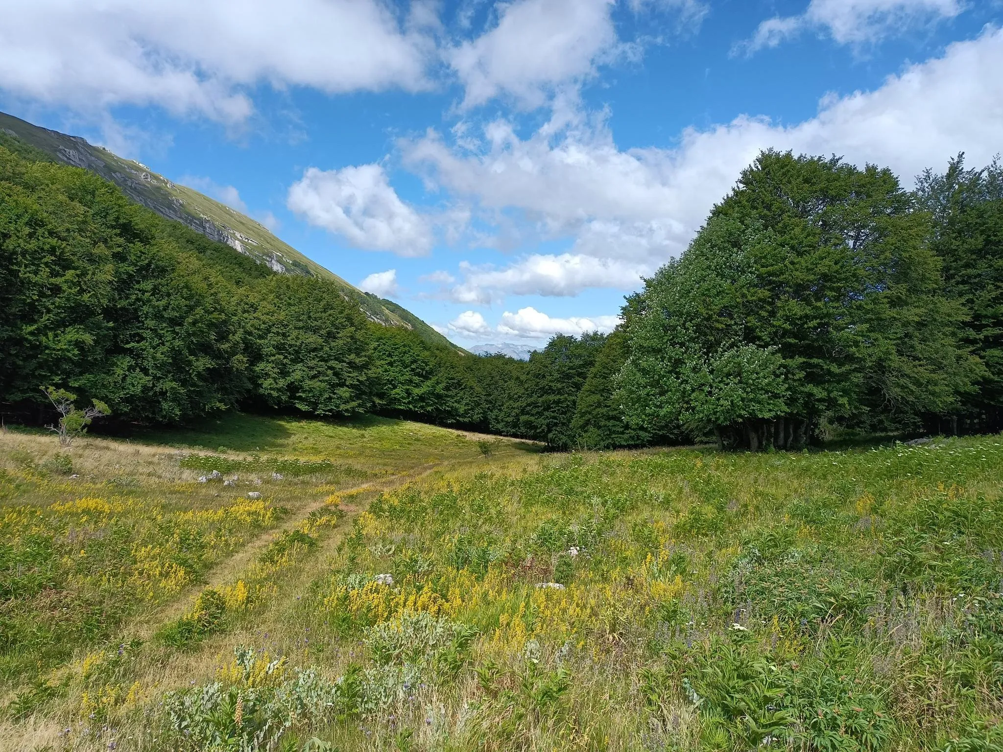
Natural Park Walk – part 4 from Accumoli to L'Aquila
Other adventures in Lazio


Tips from the Community

The entrance is subject to a fee and has opening hours for the public, the entrance costs €3 and the exact address is this: Via Aurelio Saffi, 96 - 00041 Albano Laziale RM
0
0
The cistern was built by the architects of the II Praetorian Legion to ensure the necessary water supply for the camp and surrounding dwellings. They could store 10,000 m³ of drinking water. However, their importance is not only due to this, but also because they are still perfectly functional today, being fed by Roman-era pipelines that receive water from springs located along the sides of Lake Albano.
0
0

The picturesque town of Tivoli has rightly been declared a UNESCO World Heritage Site. Everywhere you look, you'll find beautiful corners and small alleys bathed in the glorious light of the evening sun.
0
0

Excellent excursion, easy to tackle simply with suitable trekking shoes and a 20L backpack
0
0

Very beautiful, but be careful with the loose gravel base.
0
0

View of the Tivoli waterfall
0
0

It is located at the exit from the Veio park.
1
0

Easy and practical, recommended to everyone!
2
0
Frequently Asked Questions
How many hiking trails are available in Lazio?
Lazio offers a vast network of hiking trails, with over 3,900 routes available on komoot. These range from easy walks to more challenging mountain routes, catering to various skill levels.
What kind of terrain can I expect when hiking in Lazio?
Lazio's diverse landscape provides a wide range of terrain. You can expect rugged mountains in the Apennines, picturesque trails around volcanic lakes like Lake Albano, extensive forests, and ancient pathways. The region also features coastal walks along the Tyrrhenian Sea and trails through historical and archaeological sites.
What do other hikers enjoy most about the trails in Lazio?
The hiking trails in Lazio are highly rated by the komoot community, with an average score of 4.4 stars from over 18,500 reviews. Hikers often praise the region's varied terrain, from volcanic lake scenery to ancient ruins, and the extensive network of options for different ability levels. More than 94,000 hikers have used komoot to explore Lazio's paths.
Are there any hikes in Lazio that feature waterfalls?
Yes, Lazio has several beautiful trails leading to waterfalls. A notable option is the From Calcata to the Monte Gelato Waterfalls – ring tour – Treja Valley Park, which takes you through scenic landscapes to the Monte Gelato Waterfalls. Another popular choice is the Castel Giuliano Waterfall Loop. You can also find the Fosso degli Olmetti Waterfall near Etruscan aqueducts.
Can I find trails around Lazio's famous volcanic lakes?
Absolutely. Lazio is renowned for its volcanic lakes, and many trails offer stunning views and walks around their shores. The Lago Albano – ring tour – Parco dei Castelli Romani is a popular moderate route that explores the volcanic lake scenery. Other significant volcanic lakes in the region include Lake Bolsena, Lake Bracciano, Lake Nemi, and Lake Vico, all offering picturesque trails.
Are there historical or archaeological sites accessible via hiking trails in Lazio?
Lazio's hiking trails often intertwine natural beauty with historical significance. For example, The great ring of Veio – Veio Park explores dense woods and open meadows within Veio Park, featuring archaeological remains from Etruscan and Roman eras. The ancient Appian Way (Via Appia Antica) also offers an urban escape near Rome with historical significance.
What are some of the best hikes in Lazio for panoramic views?
For breathtaking panoramic views, consider hikes in the Apennine Mountains, which form part of Lazio's eastern border. Destinations like Monte Soratte, often called 'The Balcony of Rome,' offer 360-degree vistas of the Tiber Valley. Lake Turano also provides spectacular views from its jagged coastline. The Monte Autore Loop from Campo dell'Osso offers mountain views in the Apennine range.
Are there family-friendly hiking options in Lazio?
Yes, Lazio offers many trails suitable for families. The region's extensive forests, volcanic lake shores, and coastal parks provide gentler walks. Look for trails marked as 'easy' difficulty, which typically have less elevation gain and shorter distances. The Castel Giuliano Waterfall Loop is an easy option, perfect for a family outing.
Are there dog-friendly trails in Lazio?
Many trails in Lazio are suitable for hiking with dogs, especially those in regional parks and natural reserves. It's always recommended to keep your dog on a leash and check specific park regulations before heading out. Trails around volcanic lakes and through forests are generally good options for walks with your canine companion.
Are there circular hiking routes available in Lazio?
Yes, Lazio features numerous circular hiking routes, which are popular for their convenience. Examples include The great ring of Veio – Veio Park, the Monte Catillo Reserve Loop, and the Lago Albano – ring tour – Parco dei Castelli Romani. These routes allow you to start and end at the same point, often making logistics easier.
What is the best time of year to go hiking in Lazio?
The best time to hike in Lazio generally depends on the specific area and your preferred activity. Spring (April-May) and autumn (September-October) offer pleasant temperatures and vibrant scenery, ideal for most trails. Summer can be hot, especially in lower elevations and coastal areas, making early morning or late afternoon hikes preferable. Winter hiking is possible, particularly in lower areas, but higher Apennine trails may experience snow and require appropriate gear.
How can I access hiking trails in Lazio using public transport?
Access to hiking trails via public transport varies across Lazio. Many regional parks and popular hiking areas, especially those closer to Rome, are reachable by local buses or regional trains. For example, areas within the Castelli Romani Regional Park, like Lake Albano, often have good public transport links. It's advisable to research specific route access points and local transport schedules in advance for your chosen trail.
Are there any hidden gem hiking trails in Lazio worth exploring?
While many trails are well-known, Lazio still holds hidden gems. Exploring lesser-known paths in regional parks like Monti Lucretili or Parco Regionale Marturanum can reveal tranquil landscapes and unique historical sites away from the crowds. The Treja Valley Park, with its scenic beauty and waterfalls, also offers opportunities for discovering quieter routes.
Most popular routes in Lazio
Most popular attractions in Lazio

Get inspired with the komoot mobile app


Didn’t find what you were looking for?
Check out more Hikes throughout Lazio below and find the perfect route in your destination.
Explore more
Browse the best Hikes in other regions.
