The best road cycling routes in Death Valley National Park
32
riders
5
rides
Road cycling in Death Valley National Park offers diverse terrain across a vast desert landscape, characterized by extreme elevation changes from below sea level to significant mountain passes. The region features expansive salt flats, colorful volcanic and sedimentary hills, and dramatic canyons. Cyclists encounter long stretches of paved desert roads, challenging ascents, and unique geological formations. The park's varied topography provides a range of experiences, from surreal rides across salt basins to demanding climbs up mountain roads.
Best road cycling…
Last updated: October 24, 2026
98.4km
05:59
2,660m
2,660m
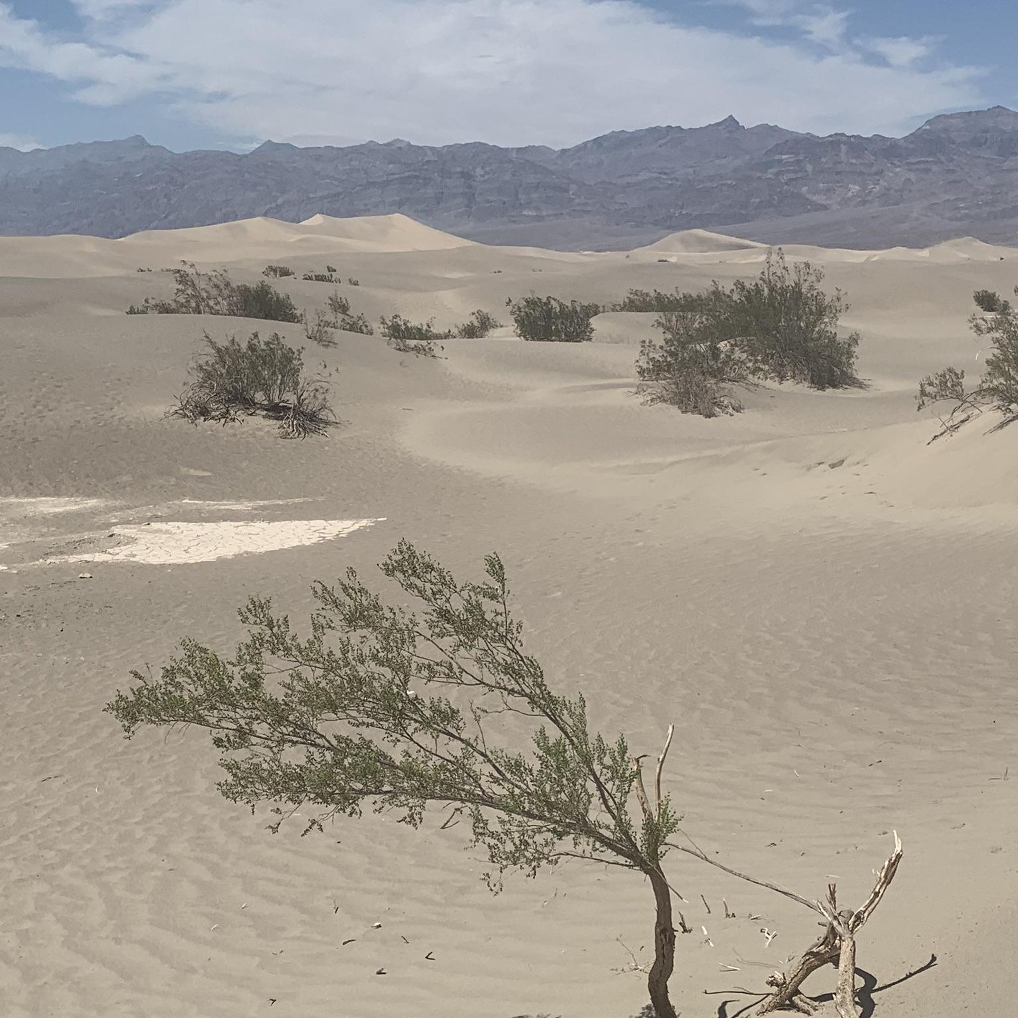
Experience a difficult 61.1-mile road cycling route through Death Valley National Park, featuring vast desert views and the Mesquite Flat Sa
10
riders
20.9km
01:13
500m
500m
Moderate road ride. Good fitness required. Mostly well-paved surfaces and easy to ride.

10
riders
20.9km
01:13
500m
500m
Moderate road ride. Good fitness required. Mostly well-paved surfaces and easy to ride.
7
riders
Hard road ride. Very good fitness required. Mostly well-paved surfaces and easy to ride.
5
riders
44.4km
02:28
970m
970m
Hard road ride. Very good fitness required. Mostly well-paved surfaces and easy to ride.
Our route recommendations are based on thousands of hikes, rides, and runs completed by other people on komoot.
Start today with a free account
Your next adventure awaits.
Popular around Death Valley National Park
Tips from the Community

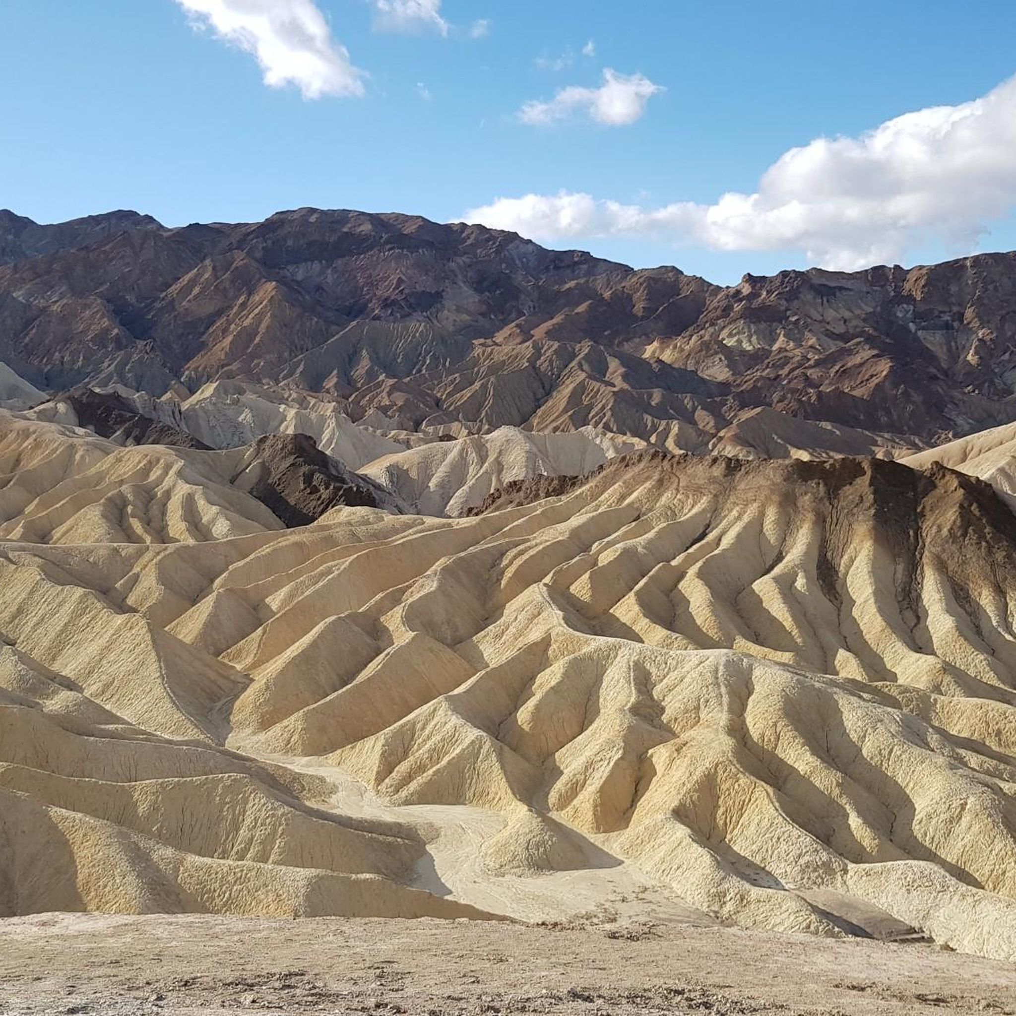
What you see is a clear representation of what an artist's palette would look like brought to nature. The landscape here is incredible, not only for its beauty, tranquility, and shapes, but also for the different colors that are evident due to minerals, including red hematite and green chlorite.
1
0
At this point along the road, there's ample space on both sides, and you can dismount off your bike to take in the natural marvel surrounding you while you recharge.
0
0

Stovepipe Wells is a village located in Death Valley National Park. The village consists of a rustic hotel, western saloon, restaurant, general store and gas station. It is known for its hot desert climate, where the average daily high is over 100°F from June through September.
0
1

Classic tourist spot, to which you can drive up to the ridge by car. However, the road there is off-road in places and requires having spare tires and other roadside assistance on hand. But the view of Death Valley is actually worth it. Great view.
0
1

Several stops along this one-way loop road invite for short hikes to viewpoints and into the colorful eroded dry beds of small canyons.
0
0

Death Valley is known for hundreds of mines in one of the hottest areas on earth. Prospectors were mining for gold ore. To haul higher-grade ore to smelters, Roy Journigan acquired this mill site in 1934. He also acquired the water rights to four springs in the area to pipe water to the mill. After he sold the mill in 1939, it was still used until the late 1960s by several owners.
2
0

Dante’s View gives you an almost bird’s eye view of the valley below and the mountain range across from it. It is breathtaking by all means an one of my favorite spots in the park.
4
1
Enjoy the beautiful dark sky after a long day of hiking at this campground. It is tent-only campsite with 10 sites on a first-come-first-serve basis. It is free of charge, has water, tables and a flush toilet.
4
0
Frequently Asked Questions
What is the best time of year for road cycling in Death Valley National Park?
The ideal time for road cycling in Death Valley National Park is during the fall and winter months. The cooler temperatures and sunny days make it an excellent off-season destination when many other areas might be inaccessible. Cycling is not recommended during the summer due to extreme heat and limited services.
Are there any easy road cycling routes in Death Valley National Park?
While many routes in Death Valley National Park present significant challenges, there are options for less experienced riders. The park permits cycling on all roads open to public vehicular traffic, and designated bicycle routes like the path between the visitor center and Harmony Borax Works offer easier terrain. Some paved and graded dirt roads, such as Salt Creek Road and sections of 20-Mule Team Canyon Road, also provide more accessible cycling experiences.
What kind of terrain can I expect when road cycling in Death Valley?
Death Valley offers an incredibly diverse and otherworldly landscape for road cycling. Despite parts of the park being below sea level, the terrain is far from flat, featuring significant climbs and descents. You'll encounter long stretches of desert road, colorful volcanic hills, vast salt flats, and challenging mountain passes. Routes like the Artist Drive Viewpoint – Artist's Palette loop from Mars Hill showcase dramatic elevation changes and unique geological formations.
What are some notable landmarks or viewpoints to see while road cycling in Death Valley National Park?
Death Valley is rich with stunning landmarks and viewpoints. Cyclists can experience the lowest point in North America at Badwater Basin Salt Flats, marvel at the colorful eroded badlands from Zabriskie Point, or enjoy panoramic vistas from Dante's View. The Dante's View — 1,669 m – Furnace Creek Wash loop offers a challenging ascent to this iconic viewpoint. Other notable sights include the Mesquite Flat Sand Dunes Overlook and the dramatic Golden Canyon Trail.
Are there challenging road cycling routes for experienced riders?
Absolutely. Death Valley National Park is known for its challenging ascents and demanding terrain, making it a prime destination for experienced road cyclists. Routes such as Stovepipe Wells and the Journigan's Mill – Emigrant Campground loop feature significant elevation gains and long distances. The park also contains several mountain passes, including Towne Pass North Climb and Emigrant Pass Climb East, which are considered among the hardest climbs in the US.
What should I bring for a road cycling trip in Death Valley?
Due to limited services and potentially windy conditions, careful preparation is essential. Always carry sufficient food and water, as resupply points can be far apart. Sun protection, including sunscreen, sunglasses, and appropriate clothing, is crucial given the desert environment. A repair kit, spare tubes, and a pump are also highly recommended. It's also wise to carry a map and navigation device, as cell service can be spotty.
Are there any specific regulations or permits needed for cycling in Death Valley National Park?
Bicycles are generally permitted on all park roads open to public vehicular traffic and on designated bicycle routes. While no special permits are typically required for general cycling on these roads, it's always a good idea to check the official National Park Service website for the most current regulations and any specific area closures or advisories before your visit. You can find more information on the official NPS website: nps.gov.
Can I find loop routes for road cycling in Death Valley National Park?
Yes, there are several loop routes available for road cycling in Death Valley National Park. These loops allow you to experience diverse scenery without retracing your path. Examples include the Artist Drive Viewpoint – Artist's Palette loop from Mars Hill, which offers a scenic journey through colorful hills, and the Dante's View — 1,669 m – Furnace Creek Wash loop, providing a challenging climb and descent with incredible views.
Where can I park my car when starting a road cycling route in Death Valley National Park?
Parking is available at various points throughout Death Valley National Park, often near visitor centers, campgrounds, and popular trailheads. For specific routes, you can usually find parking at the designated starting points. For instance, routes like the Artist Drive Viewpoint – Artist's Palette loop might have parking near Mars Hill, while the Journigan's Mill – Emigrant Campground loop starts near Emigrant Ranger Station. Always check park maps for official parking areas.
Are there any family-friendly road cycling options in Death Valley National Park?
While many of Death Valley's road cycling routes are challenging, there are options suitable for families or those seeking a more relaxed ride. The designated bicycle path between the visitor center and Harmony Borax Works is a good example of an easier, paved route. Additionally, some sections of graded dirt roads like 20-Mule Team Canyon Road can offer a unique and less strenuous experience, allowing families to enjoy the park's unique scenery together.
What makes Death Valley National Park a unique place for road cycling?
Death Valley offers an unparalleled road cycling experience due to its 'otherworldly' and diverse landscapes. Cyclists can ride through vast salt flats below sea level, climb challenging mountain passes over 5,000 feet, and witness vibrant, colorful badlands. The sheer scale and solitude of the park, combined with its dramatic geological features and status as the largest Dark Sky National Park, create an unforgettable backdrop for any ride, making it feel like cycling on another planet.
Most popular routes in Death Valley National Park
Most popular attractions in Death Valley National Park

Get inspired with the komoot mobile app


Explore more
Browse the best Road cycling routes in other regions.
