The best road cycling routes around Surrey
4.5
(126)
3,004
riders
22
rides
Road cycling routes around Surrey traverse a landscape characterized by rolling hills, extensive woodlands, and scenic valleys, notably within the Surrey Hills Area of Outstanding Natural Beauty. The region features varied terrain, from challenging ascents like Box Hill and Leith Hill to flatter paths along river valleys. The North Downs ridge also offers elevated routes with expansive views.
Best road cycling routes around Surrey
- The most popular road cycling route is Tynehead Trail – Derby Reach Regional Park loop from King George, a 35.7 miles (57.5 km) trail that takes 2 hours 30 minutes to complete. This moderate route offers a substantial distance for experienced cyclists.
- Another top favourite among local road cyclists is Elgin Creek Salmon Habitat – Peninsula United Church loop from South Surrey, an easy 17.1 miles (27.5 km) path. This route provides a more relaxed ride through natural habitats.
- Local road cyclists also love the White Rock Pier and Waterfront – Peace Arch loop from White Rock, a 36.8 miles (59.2 km) trail leading through waterfront areas, often completed in about 2 hours 39 minutes.
- Road cycling around Surrey is defined by rolling hills, dense woodlands, and river valleys. The network offers options for different ability levels, from easy loops to challenging climbs.
- The routes in Surrey are highly rated by the komoot community with an average score of 4.36 stars from over 26 reviews. More than 287 road cyclists have used komoot to explore Surrey's varied terrain.
Last updated: October 8, 2026
4.8
(12)
80
riders
Moderate road ride. Good fitness required. Mostly well-paved surfaces and easy to ride.
5.0
(3)
48
riders
Moderate road ride. Good fitness required. Mostly well-paved surfaces and easy to ride.

5.0
(2)
33
riders
59.4km
02:44
430m
430m
Moderate road ride. Good fitness required. Mostly well-paved surfaces and easy to ride.
15
riders
42.5km
01:57
340m
340m
Moderate road ride. Good fitness required. Some segments of this route may be unpaved and difficult to ride.
3.5
(2)
13
riders
18.5km
00:52
170m
170m
Easy road ride. Great for any fitness level. Mostly well-paved surfaces and easy to ride.
Get access to more routes and recommendations from other explorers.
Already have an account?
Our route recommendations are based on thousands of hikes, rides, and runs completed by other people on komoot.
Start today with a free account
Your next adventure awaits.
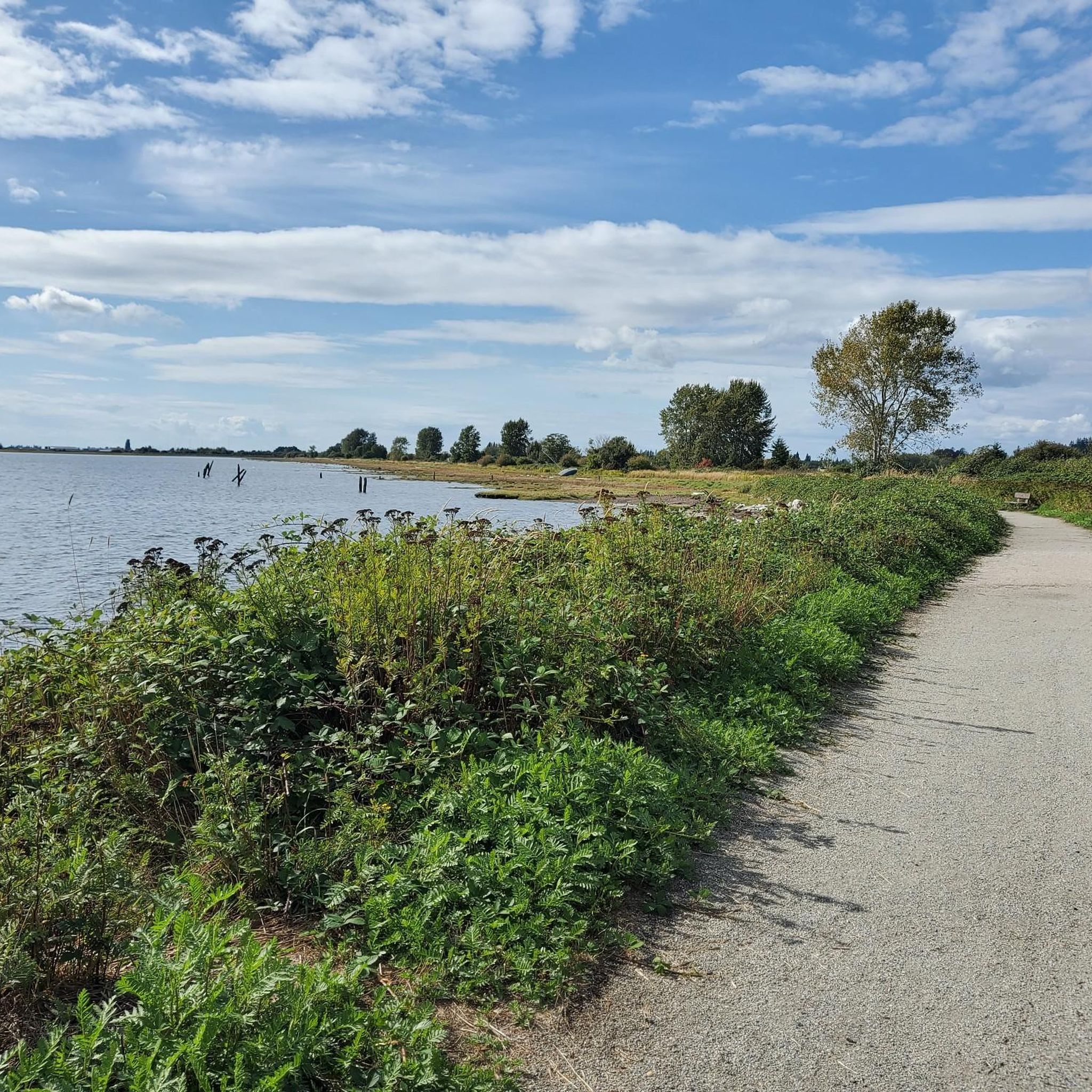
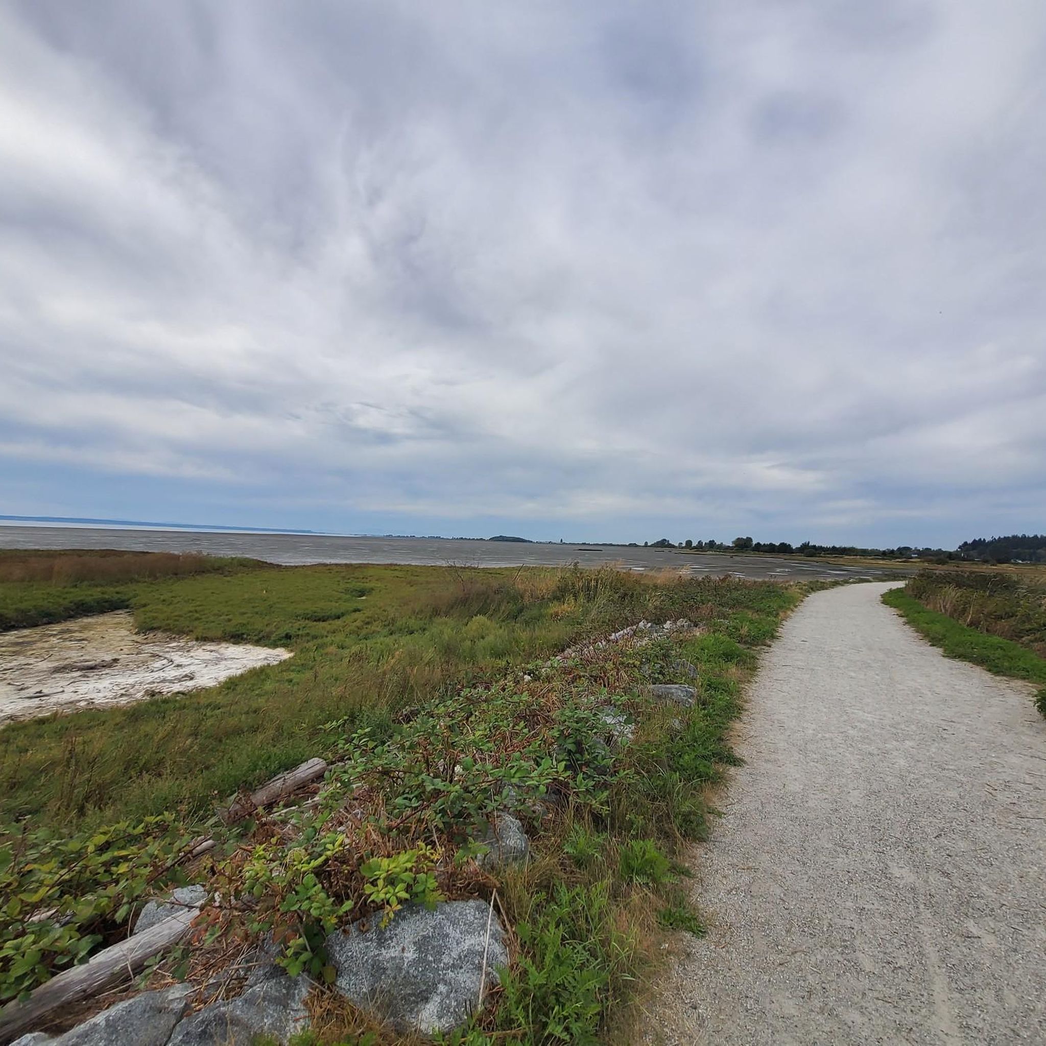

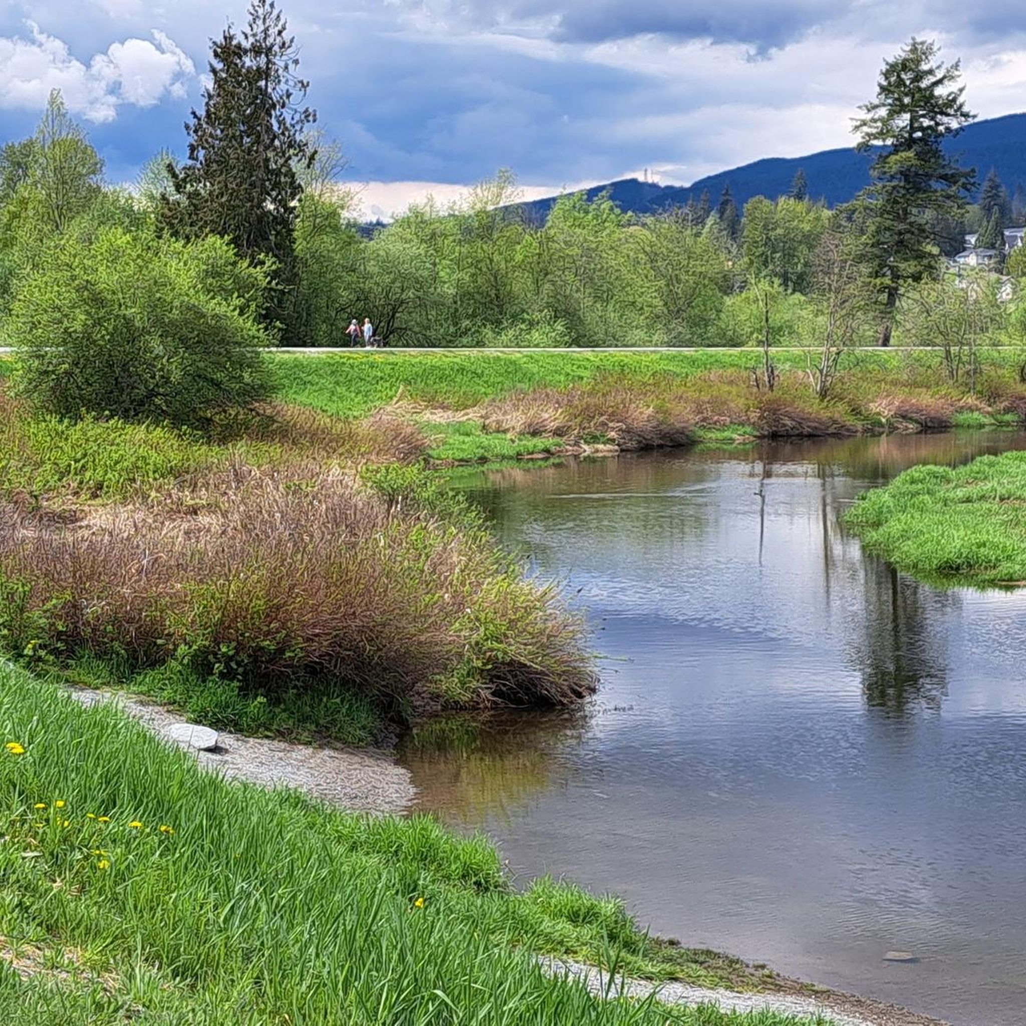
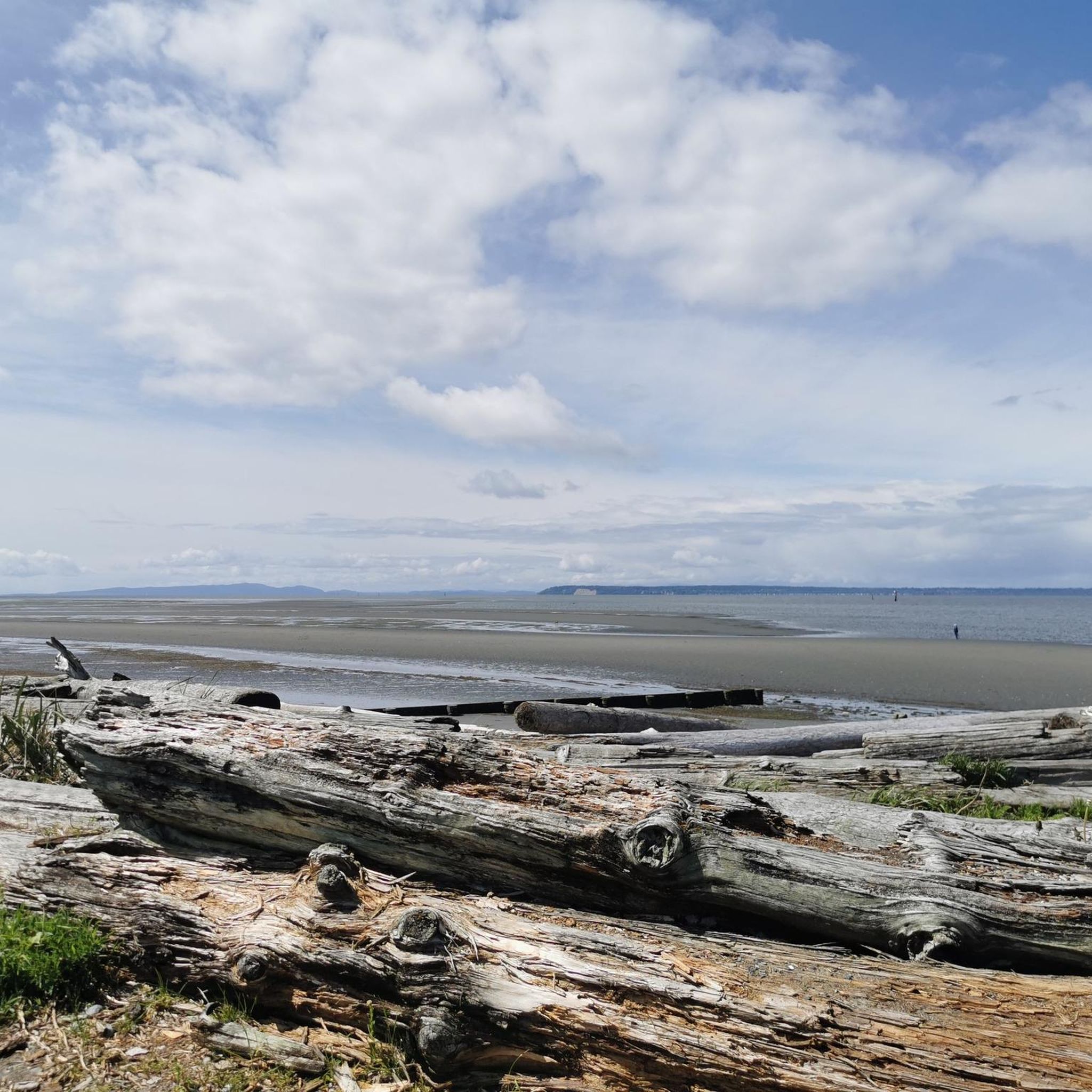
Tips from the Community

Huntington Park, Chantrell Park, and Dogwood Park are connected by shaded walking paths, providing different recreational spaces for the community. Dogwood Park is the busiest and a paradise for local dog owners. There is a fully fenced off-leash dog area with playing fields, dirt walking trails through the trees, a dedicated swimming pond for dogs, and a completely separate enclosed area for small dogs. For people, the park has a large gravel parking lot, picnic tables, and public pit toilets.
0
0

The bear is a well-known local landmark, and you can get some of the best views in the bay from the benches and picnic area nearby. Its nose is polished from where visitors rub the bear's snout.
0
0

This paved, multi-use trail traces thee edges of Tynehead Regional Park in a four kilometer loop. You'll find interpretive signage placed along the loop as you make your way around.
0
0

Try to stop at MONTGOMERY’S on Marine Dr White Rock for FISH N CHIPS
0
0

Stay away from Zero Ave. during weekday rush hours. Too busy and narrow. Weekends are best.
0
0


St. George's Anglican Church in Fort Langley, BC, is a historic Carpenter Gothic-style church established in 1859 and consecrated in 1901. Located at 9160 Church Street, it remains an active parish known for its inclusive community and heritage architecture.
0
0
Orchard Grove Park is a neighborhood green space located along 24 Avenue in South Surrey, British Columbia (BC). It's a peaceful area ideal for families, featuring walking paths, open lawns, and proximity to residential communities.
0
0
Frequently Asked Questions
How many road cycling routes are available in Surrey?
Surrey offers a diverse network of over 29 road cycling routes, catering to various skill levels. These include 13 easy routes, 15 moderate routes, and 1 challenging route, ensuring options for every cyclist.
What types of terrain can I expect on road cycling routes in Surrey?
Road cycling in Surrey features a varied landscape, from the rolling hills and challenging ascents within the Surrey Hills Area of Outstanding Natural Beauty, including iconic climbs like Box Hill and Leith Hill, to flatter, scenic paths along river valleys such as the River Wey and River Thames. The North Downs ridge also provides elevated routes with expansive views.
Are there challenging road cycling routes in Surrey for experienced riders?
Yes, Surrey is renowned for its challenging climbs. Beyond the famous Box Hill and Leith Hill, you can test your limits on ascents like Ranmore Common, Staple Lane, Barhatch, Bug Hill, and Whitedown. One particularly challenging route is the Tynehead Trail – Derby Reach Regional Park loop from King George, which covers 35.7 miles (57.5 km) with significant elevation changes.
Are there easy or family-friendly road cycling routes in Surrey?
Absolutely. Surrey provides numerous easy routes suitable for a more relaxed pace or family outings. Options include flatter paths along river valleys or within areas like Windsor Great Park. An example is the Elgin Creek Salmon Habitat – Peninsula United Church loop from South Surrey, an easy 17.1 miles (27.5 km) path through natural habitats.
What do other road cyclists think about the routes in Surrey?
The road cycling routes in Surrey are highly regarded by the komoot community, holding an average rating of 4.36 out of 5 stars from over 26 reviews. Cyclists often praise the region's varied terrain, scenic beauty, and the abundance of options for all abilities.
What is the best time of year for road cycling in Surrey?
The spring and summer months generally offer the most pleasant conditions for road cycling in Surrey, with warmer weather and longer daylight hours. However, the diverse landscapes, including ancient woodlands, can provide beautiful rides in autumn with vibrant foliage, and even in milder winter conditions, many routes remain accessible.
Are there circular road cycling routes available in Surrey?
Yes, Surrey features several circular road cycling routes. The Surrey Cycleway is a notable 94-mile circular route utilizing quiet roads and lanes, with signposted links for shorter circuits. Many routes on komoot, such as the White Rock Pier and Waterfront – Peace Arch loop from White Rock, are also designed as loops.
Can I find road cycling routes in Surrey that pass through charming villages or offer pub stops?
Many road cycling routes in Surrey weave through picturesque villages like Shere and Abinger Hammer. These villages often host cyclist-friendly pubs and cafes, providing perfect opportunities for a refreshing stop during your ride. The region's extensive network makes it easy to incorporate such stops into your tour.
What scenic viewpoints can I expect on road cycling routes in Surrey?
Surrey's road cycling routes offer numerous scenic viewpoints. From the summit of Box Hill, you can enjoy panoramic views over the Surrey Hills. Leith Hill, the highest point in South-East England, rewards cyclists with spectacular vistas. The North Downs ridge also provides expansive views across the Thames Valley towards London and down to the South Downs.
Are there any notable landmarks or attractions along the road cycling routes in Surrey?
Yes, several routes pass by interesting landmarks and natural attractions. You might encounter natural monuments like the Memorial Garden at Derek Doubleday Arboretum or the Red Maple Tree on Pioneer Greenway. Some routes also offer views of lakes or significant memorials such as the Gapyeong Stone Korean War Memorial.
Are there road cycling routes in Surrey that are less crowded?
While popular spots like Box Hill can be busy, Surrey's extensive network of quiet country lanes and lesser-known tracks allows for less crowded rides. Exploring routes away from the most famous climbs, particularly during off-peak hours or seasons, can lead to a more peaceful cycling experience. The Campbell Valley Regional Park – View of Harbor Hills loop from White Rock offers a serene experience.
Can I access road cycling routes in Surrey using public transport?
Surrey's proximity to London and its well-connected rail network make it accessible by public transport. Many towns and villages that serve as starting points for routes have train stations, allowing cyclists to reach the area without a car. It's advisable to check specific train line policies regarding bicycle carriage, especially during peak times.
Most popular routes around Surrey
Most popular attractions around Surrey

Get inspired with the komoot mobile app


Explore more
Browse the best Road cycling routes in other regions.
