The best walks and hikes around Pitt Meadows
4.7
(103)
2,301
hikers
74
hikes
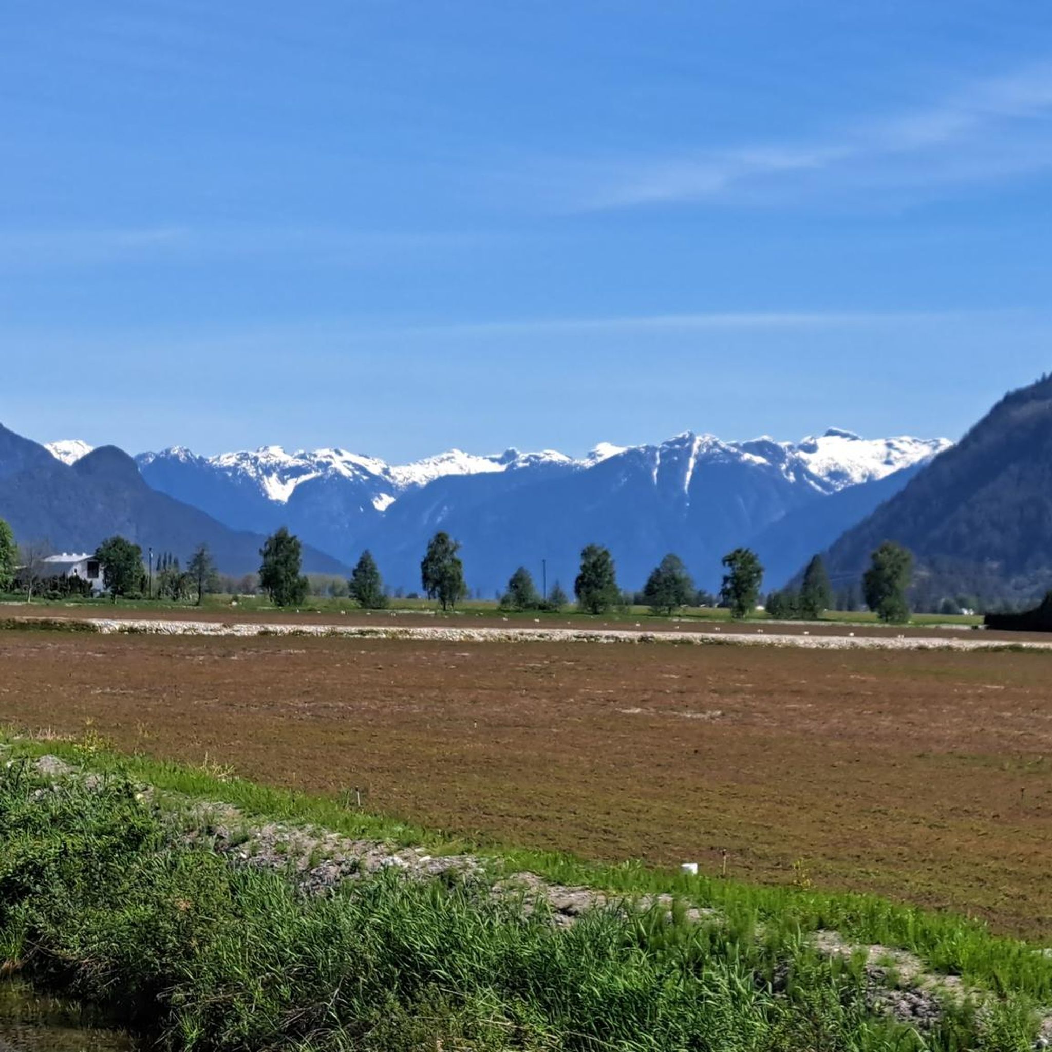
Hiking around Pitt Meadows offers diverse terrain, blending wetlands, old-growth forests, and mountains. The region is characterized by an extensive dike system along the Fraser and Pitt Rivers, providing flat paths with views of farmland and waterways. To the north, the landscape transitions into the Thompson Mountain Range, serving as a gateway to Golden Ears Provincial Park. This area features a variety of ecosystems, from the unique freshwater-tidal Pitt Lake to marshlands and granite outcrops.
Best hiking trails around Pitt…
Last updated: October 11, 2026
5.0
(1)
17
hikers
20.0km
05:07
80m
80m
Hard hike. Very good fitness required. Easily-accessible paths. Suitable for all skill levels.
12
hikers
3.28km
01:23
180m
180m
Moderate hike. Great for any fitness level. Mostly accessible paths. Sure-footedness required.

2
hikers
2.90km
01:02
80m
80m
Hike the moderate 1.8-mile Addington Lookout via Fern Trail in Minnekhada Regional Park, offering forest, marsh views, and wildlife.
2
hikers
4.11km
01:02
0m
0m
Easy hike. Great for any fitness level. Easily-accessible paths. Suitable for all skill levels.
2
hikers
2.54km
00:39
10m
10m
Easy hike. Great for any fitness level. Easily-accessible paths. Suitable for all skill levels.
Get access to more routes and recommendations from other explorers.
Already have an account?
Our route recommendations are based on thousands of hikes, rides, and runs completed by other people on komoot.
Start today with a free account
Your next adventure awaits.

Tips from the Community

Derby Reach stretches along a calm bend of the Fraser River, where open fields, quiet forests, and wide riverside trails make for easy wandering. You'll find a mix of flat shoreline paths and the hillier Houston Trail loop with some multi-use trails open to hikers, joggers, cyclists, and even horseback riders. A large campground sits right at the water’s edge, with picnic shelters, washrooms, drinking water, and plenty of space to settle in for the night. Dogs are welcome on‑leash throughout most of the park, with a large off‑leash zone near Edgewater Bar. In short, you'll find that Derby Reach delivers a peaceful break with all the essentials close at hand.
0
0
Set along a quiet bend of the Fraser River, Fort Langley offers a window into the history of British Columbia. The wooden palisades, blacksmith shop, and heritage buildings trace the Hudson’s Bay Company era, while the parks live demonstrations bring the daily bustle of traders and voyageurs to life. For those interested in the Indigenous Stó꞉lō history you'll find traditional foods as the Ancestor Cafe, native artworks at Spirit Bear Designs, and storytelling from local Elders. It’s an easy place to wander and imagine yourself in a different time, soaking up river views, hands‑on demos, and the layered history that shaped the region.
0
0
The Canyon to Coast trail runs for 550 kilometers between Hope and the Salish Sea. This particular section follows the Fraser River through parkland, nature reserve and historic sites as it nears its end at the sea.
0
0

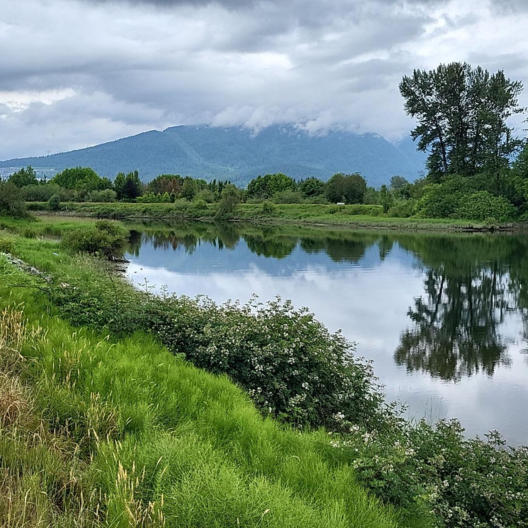
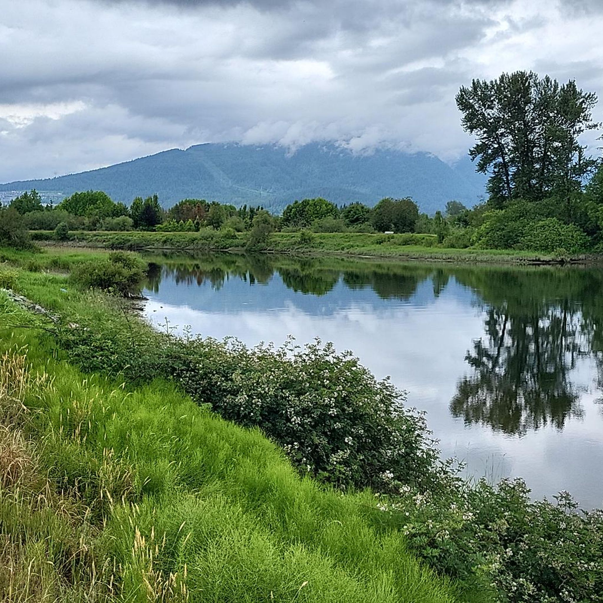
Pitt River Regional Greenway is a multi-use trail that follows the east bank of the Pitt and Fraser rivers through Pitt Meadows. The route runs along dikes and through riparian areas, with wide views of the river, surrounding farmland, and nearby mountains. Its flat, open alignment and proximity to the water give it a calm, spacious feel, with plenty of opportunities to see birds and other wildlife.
0
0
The Fraser River is British Columbia’s longest river, stretching over 1,300 kilometres from the Rockies to the Pacific. It flows through diverse landscapes, from alpine valleys to urban centres, and supports one of the largest salmon runs in North America. The river has shaped the region’s ecology, economy, and history for thousands of years.
0
0
Harris Landing Park is a charming waterfront spot in Pitt Meadows, nestled along the north bank of the Fraser River. It offers access to a quiet stretch of shoreline with a boat launch, lots of green space, and breathtaking views of the wide river channel. The setting feels open and lightly developed, with the river and surrounding floodplain shaping the landscape, making it the perfect spot for a picnic or a place to relax and soak in the scenery.
0
0

This is a flat, straightforward walk through a mix of forest and wetland, with wide gravel paths that stay mostly level throughout. You’ll pass stretches of marsh and drainage channels before reaching Goose Lake itself. The trail can get muddy after rain, so wearing the appropriate footwear is advised.
0
0
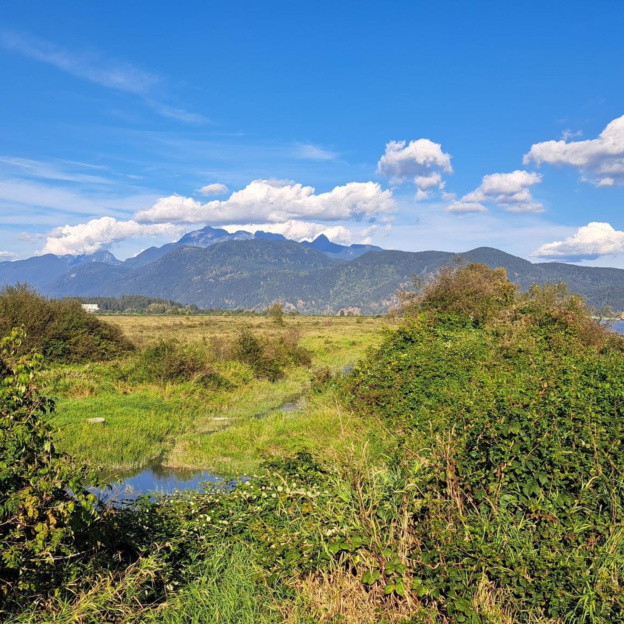
Goose Lake sits within a low-lying wetland system fed by local drainage channels and seasonal runoff from the surrounding farmland rather than a fast-flowing river. The water is usually still and often murky, especially after rain. While you’ll see the occasional canoe or small paddlecraft, it’s not a common paddling spot, and there are no formal launch points. Swimming isn’t recommended here due to water quality and limited circulation. It’s better approached as a quiet viewpoint, especially for birdlife around the lake edges.
0
0
Frequently Asked Questions
How many hiking trails are available in Pitt Meadows?
Pitt Meadows offers a wide variety of hiking experiences, with over 65 routes available. These range from easy walks along dikes to more challenging mountain ascents, catering to all skill levels.
What kind of terrain can I expect on hikes in Pitt Meadows?
The landscape in Pitt Meadows is incredibly diverse, featuring extensive dike systems along the Fraser and Pitt Rivers, rich wetlands, and old-growth forests. To the north, you'll find mountainous terrain, including access to Golden Ears Provincial Park. This blend offers everything from flat, scenic paths to rolling hills and steeper climbs.
Are there easy hiking options suitable for beginners or families?
Yes, Pitt Meadows has many beginner-friendly trails perfect for families. Options like the Osprey Village Trail, Blaney Bog Park Loop Trail, and the Pitt River Greenway offer gentle paths with minimal elevation gain. The extensive dike system also provides easy, flat walks with scenic views of farmland and waterways.
Can I find trails with waterfalls in the Pitt Meadows area?
Absolutely. The region around Pitt Meadows features several beautiful waterfalls. You can explore areas with falls such as Crystal Falls, Lower Falls in Golden Ears Provincial Park, and Saw Blade Falls. Some trails, like the one leading to Widgeon Falls, even combine a canoe trip with a trek for a unique experience.
Are there any loop trails for a varied hiking experience?
Yes, several loop trails offer diverse scenery. For example, the Minnekhada Quarry Trail – Minnekhada Lookout loop from Minnekhada Regional Park is a moderate 4.5-mile path with rolling hills and a lookout point. Another option is the Pitt River Bank Walk loop from Widgeon Marsh Regional Park, which takes you through wetlands and along the river.
What kind of wildlife might I encounter while hiking in Pitt Meadows?
Pitt Meadows is rich in wildlife due to its diverse habitats. You might spot various waterfowl and bald eagles, especially in wetland areas like the Pitt Wildlife Management Area and Pitt-Addington Marsh. Black bears are also known to frequent the region, particularly during salmon and berry seasons.
Are the trails in Pitt Meadows dog-friendly?
Many trails in Pitt Meadows are dog-friendly, especially the extensive dike systems and regional parks. However, specific rules can vary by park or reserve, so it's always best to check local signage or park websites for the most current regulations regarding leashes and restricted areas before you go.
What do other hikers enjoy the most about hiking in Pitt Meadows?
The trails in Pitt Meadows are highly rated by the komoot community, with an average score of 4.6 stars from over 96 reviews. Hikers often praise the diverse scenery, from serene wetlands to mountain views, and the variety of trails suitable for all levels. The well-maintained paths and opportunities for wildlife viewing are also frequently highlighted.
Are there any viewpoints or scenic lookouts along the trails?
Yes, many trails in Pitt Meadows offer rewarding viewpoints. The Addington Lookout via Fern Trail provides scenic vistas. Additionally, the Minnekhada Quarry Trail leads to the Minnekhada Lookout, offering panoramic views. In Golden Ears Provincial Park, trails like Alouette Mountain provide rigorous challenges with stunning summit views.
What is the best time of year to go hiking in Pitt Meadows?
Pitt Meadows offers hiking opportunities year-round. Spring and fall provide pleasant temperatures and vibrant natural colors, while summer is ideal for longer days and exploring higher elevations. Even in winter, the lower elevation dike trails and forest paths can be enjoyed, though conditions may vary, so checking local weather is always recommended.
Are there any trails that are particularly long for extended hikes?
For those seeking longer routes, the extensive dike system along the Fraser and Pitt Rivers provides many miles of continuous, relatively flat paths. For example, the Neaves East 1 Pond loop from Yennadon is a moderate 6.2-mile (10 km) route. These systems are part of larger networks like the Trans Canada Trail, offering potential for extended walks.
Can I reach hiking areas in Pitt Meadows using public transport?
While some areas are more accessible by car, TransLink provides bus services within Pitt Meadows that can connect you to certain trailheads or areas near the dike systems. For specific park access, it's advisable to check TransLink's route planner for the most up-to-date information on reaching your desired starting point.
Most popular attractions around Pitt Meadows

Get inspired with the komoot mobile app


Explore more
Browse the best Hikes in other regions.
