The best walks and hikes around Kings, Subd. B
4.7
(68)
478
hikers
10
hikes
Hiking around Kings, Subd. B features a diverse landscape characterized by its rugged coastline overlooking the Bay of Fundy and the Minas Basin. The region includes extensive wooded areas and river valleys, offering varied terrain for outdoor activities. Elevations along the coastal paths provide views of the water and surrounding natural features.
Best hiking trails around Kings, Subd. B
- The most popular hiking route is Cape Split Trail, a 7.8 miles (12.6 km) trail that takes 3 hours 27…
Last updated: July 7, 2026
4.9
(7)
59
hikers
12.6km
03:27
200m
200m
Moderate hike. Good fitness required. Easily-accessible paths. Suitable for all skill levels.
5.57km
01:27
40m
40m
Hike to Baxter's Harbour Falls via Old Baxter Mill Road, an easy 3.5-mile route with a waterfall plunging into the Bay of Fundy.

Sign up for free
4.8
(47)
326
hikers
Moderate hike. Good fitness required. Easily-accessible paths. Suitable for all skill levels.
4.9
(7)
36
hikers
Moderate hike. Good fitness required. Easily-accessible paths. Suitable for all skill levels.
4.6
(5)
41
hikers
5.90km
01:38
110m
110m
Easy hike. Great for any fitness level. Easily-accessible paths. Suitable for all skill levels.
Get access to more routes and recommendations from other explorers.
Sign up for free
Already have an account?
Our route recommendations are based on thousands of hikes, rides, and runs completed by other people on komoot.
Start today with a free account
Your next adventure awaits.
Login or Signup



Tips from the Community

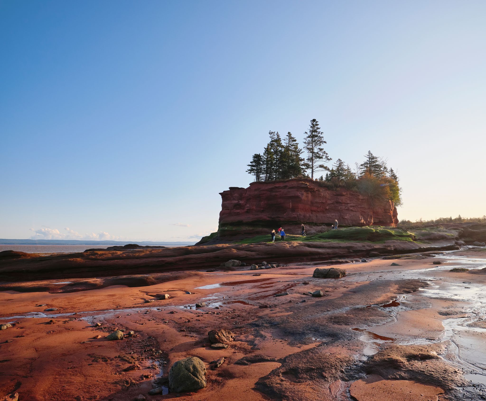
The Bay of Fundy is an expansive Atlantic inlet between Nova Scotia and New Brunswick, famous for having the highest tides in the world. Twice a day, over 160 billion tons of seawater flow in and out, creating tidal ranges that can exceed 16 metres. Its rugged coastline, sea caves, and fossil-rich cliffs make it a globally significant destination for geology, wildlife, and coastal adventure.
0
0
Old Baxter Mill Road is a quiet rural road near Baxter's Harbour that provides access to the coast and Baxter's Harbour Falls. It passes through forest and farmland, with a simple, undeveloped countryside character, and is mainly used by visitors headed to the falls and shoreline rather than as a destination itself.
0
0
Baxter's Harbour Falls is a beautiful coastal waterfall that drops over basalt cliffs toward the Bay of Fundy. At low tide, the falls descend directly onto exposed rock and shoreline, and at high tide, the lower portion meets rising seawater. The changing tides make each visit noticeably different, and worth of capturing a few memorable photos any time.
0
0


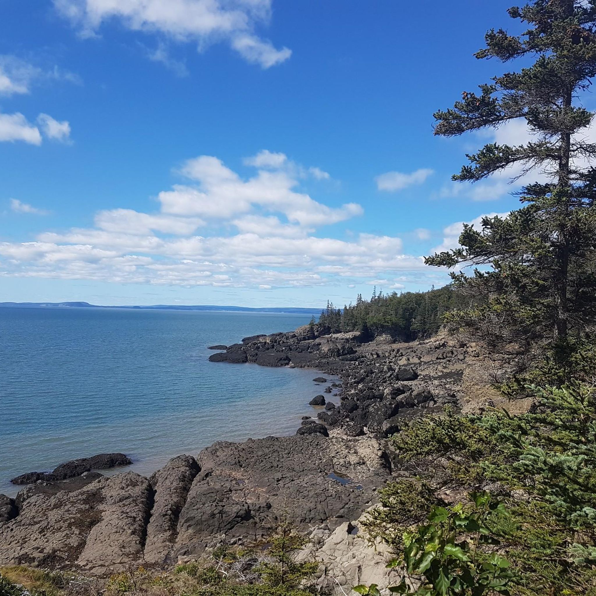
While the dense forest mostly obscures the view of Minas Basin, this wooden platform offers a good opportunity to view the inlet over the 60-meter-high cliffs.
0
0

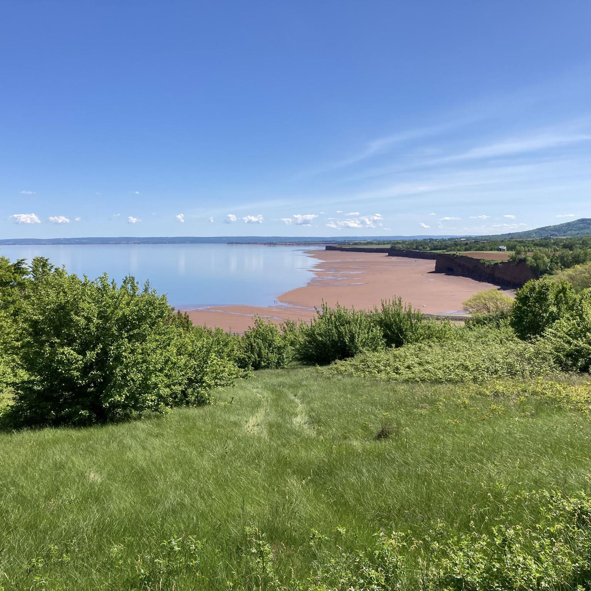
A very beautiful path south of Cape Split. Easy to walk paths through mixed forest and then a walk on red sand (at low tide).
0
0
Frequently Asked Questions
How many hiking trails are available in Kings, Subd. B?
There are over 10 hiking routes documented in Kings, Subd. B, offering a diverse range of experiences from easy walks to more challenging moderate trails. The komoot community has explored these routes over 400 times.
What kind of terrain can I expect when hiking in Kings, Subd. B?
Hiking in Kings, Subd. B features a diverse landscape. You'll find rugged coastal paths overlooking the Bay of Fundy and the Minas Basin, extensive wooded areas, and river valleys. The terrain varies from relatively flat sections to paths with moderate elevation changes, offering views of the water and surrounding natural features.
What is the best time of year to go hiking in Kings, Subd. B?
The best time for hiking in Kings, Subd. B is generally from spring through fall. Spring brings lush vegetation and wildflowers, while summer offers pleasant temperatures for coastal and wooded trails. Fall is particularly scenic with vibrant foliage. Winter hiking is possible but requires appropriate gear due to colder temperatures and potential snow or ice, especially on coastal paths.
What do other hikers say about the trails in Kings, Subd. B?
The trails in Kings, Subd. B are highly rated by the komoot community, with an average score of 4.8 stars from over 60 reviews. Hikers often praise the stunning coastal views, the variety of terrain, and the well-maintained paths, particularly highlighting the dramatic scenery along the Bay of Fundy.
Are there any easy hiking trails suitable for beginners in Kings, Subd. B?
Yes, Kings, Subd. B offers several easy hiking trails perfect for beginners or those looking for a relaxed walk. For example, the Baxter’s Harbour Falls via Old Baxter Mill Road is an easy route that leads to a beautiful waterfall. Another accessible option is the View of Minas Basin – Look-Off Trail loop from Blomidon Provincial Park, which offers scenic views with a moderate elevation gain.
Can I find family-friendly walks in Kings, Subd. B?
Many of the easier trails in Kings, Subd. B are suitable for families. These routes often feature less challenging terrain and offer opportunities to enjoy nature together. While specific 'family-friendly' designations aren't always present, trails with lower difficulty ratings and shorter distances, such as those leading to viewpoints or waterfalls, are generally good choices for all ages.
Are dogs allowed on the hiking trails in Kings, Subd. B?
Policies regarding dogs can vary by specific park or trail. Generally, dogs are permitted on many trails in Kings, Subd. B, especially in provincial parks, but they must be kept on a leash. It's always recommended to check the specific regulations for the trail you plan to visit beforehand to ensure a pleasant experience for everyone.
Are there any circular hiking routes in Kings, Subd. B?
Yes, you can find circular hiking routes in Kings, Subd. B. An example is the View of Cape Split Sea Stacks – Big Cove Lookoff #2 loop from Shoe Bridge Ledge, which offers expansive coastal views. Another option is the Blomidon Provincial Park Red Cliffs – Blomidon Campground loop from White Water, leading through coastal forests and along red cliffs.
What natural features or landmarks can I see along the trails in Kings, Subd. B?
Kings, Subd. B is rich in natural beauty. Along the trails, you can encounter dramatic coastal cliffs, the unique red cliffs of Blomidon Provincial Park, and stunning views of the Bay of Fundy and the Minas Basin. Highlights include the Minas Basin Trail, the impressive Blomidon Provincial Park Red Cliffs, and various lookoffs like Minas Basin Lookout and Big Cove Lookoff #2.
Are there any waterfalls to visit while hiking in Kings, Subd. B?
Yes, you can discover waterfalls in Kings, Subd. B. The Baxter’s Harbour Falls via Old Baxter Mill Road trail leads directly to a beautiful waterfall, offering a rewarding natural spectacle after a relatively easy hike.
Where can I find scenic viewpoints in Kings, Subd. B?
Kings, Subd. B offers numerous scenic viewpoints, particularly along its coastal trails. Notable spots include the Minas Basin Lookout, Big Cove Lookoff #2, and Lobster Hole Lookoff. These locations provide expansive vistas of the Bay of Fundy, the Minas Basin, and the dramatic coastline.
What are the parking options for hiking trails in Kings, Subd. B?
Most popular trailheads in Kings, Subd. B, especially those within provincial parks or leading to well-known attractions like Cape Split, offer designated parking areas. These are typically free, but it's always advisable to arrive early during peak seasons to secure a spot. Specific parking details can often be found on individual trail pages or park websites.
Most popular routes around Kings, Subd. B
Most popular attractions around Kings, Subd. B

Get inspired with the komoot mobile app


Explore more
Browse the best Hikes in other regions.
