The best running trails around Kings, Subd. B
4.0
(2)
85
runners
6
runs
Jogging around Kings, Subd. B offers diverse natural landscapes and numerous trails. The region features dramatic coastal elements, lush woodlands, and the significant influence of the Bay of Fundy's tides. This creates unique coastal environments, including impressive red sedimentary cliffs and diverse forests. The area is also interspersed with rivers and scattered lakes, providing varied terrain for running.
Best jogging routes around Kings, Subd. B
- The most popular jogging route is Minas Basin Lookout – View of Fundy Shore loop…
Last updated: July 13, 2026
4.0
(1)
32
runners
13.6km
01:44
250m
250m
Moderate run. Good fitness required. Mostly paved surfaces. Suitable for all skill levels.
31
runners
18.1km
01:54
110m
110m
Hard run. Very good fitness required. Mostly paved surfaces. Suitable for all skill levels.

Sign up for free
4.0
(1)
9
runners
5.80km
00:42
10m
10m
Moderate run. Good fitness required. Mostly paved surfaces. Suitable for all skill levels.
7
runners
11.5km
01:31
290m
290m
Moderate run. Good fitness required. Mostly paved surfaces. Suitable for all skill levels.
4
runners
9.04km
00:57
70m
70m
Moderate run. Good fitness required. Mostly paved surfaces. Suitable for all skill levels.
Our route recommendations are based on thousands of hikes, rides, and runs completed by other people on komoot.
Start today with a free account
Your next adventure awaits.
Login or Signup



Tips from the Community


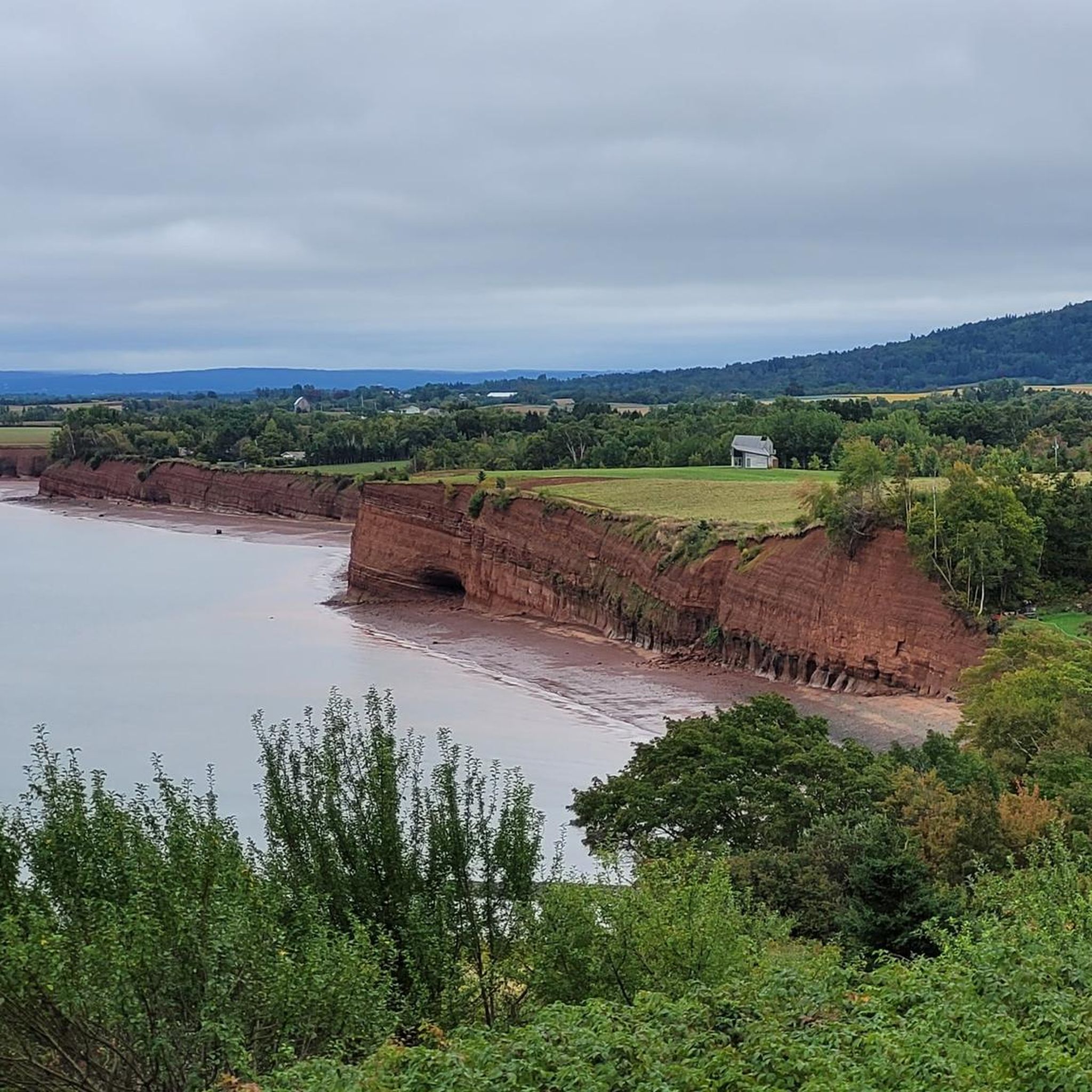
While the dense forest mostly obscures the view of Minas Basin, this wooden platform offers a good opportunity to view the inlet over the 60-meter-high cliffs.
0
0

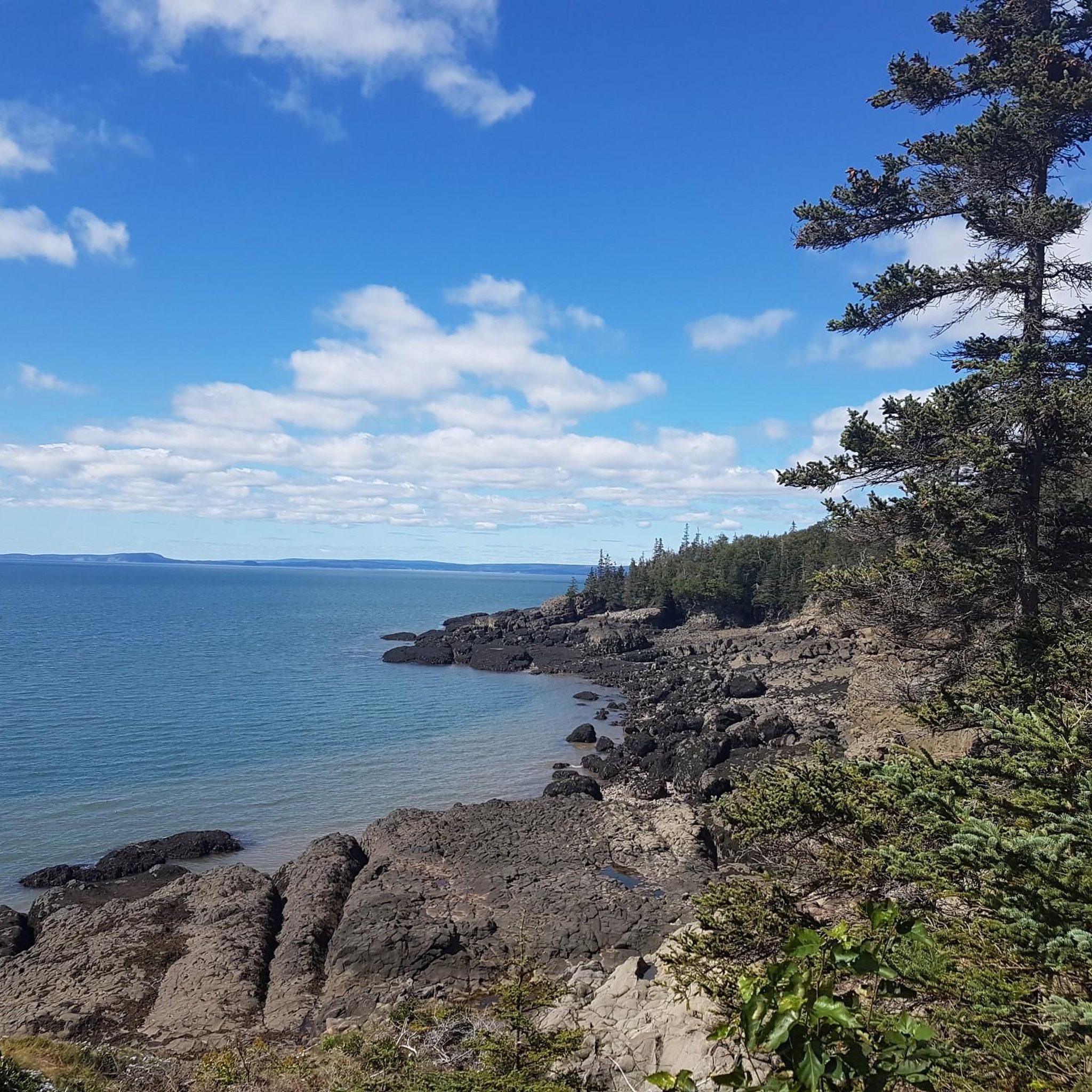
The views at Fundy Shore Lookoff are limited due to vegetation growth.
3
0
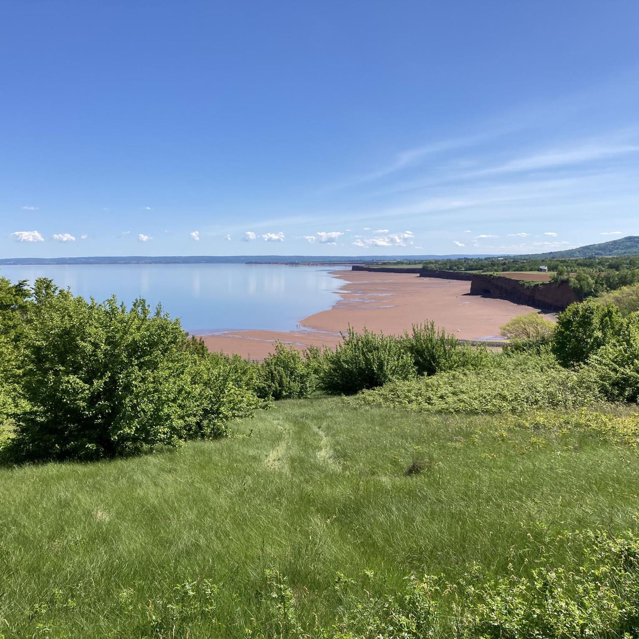
At Minas Basin Lookoff there are spectacular views to Minas Basin about 60 metres above the coast.
3
0
Frequently Asked Questions
How many running routes are available in Kings, Subd. B?
There are 6 dedicated running routes around Kings, Subd. B documented on komoot. These routes offer a variety of experiences, from moderate paths to more challenging trails.
What kind of terrain can I expect on the running trails in Kings, Subd. B?
The region offers diverse terrain for running. You'll find routes through lush woodlands, along dramatic coastal features near the Minas Basin and Bay of Fundy, and paths that traverse areas with rivers and scattered lakes. Expect a mix of natural surfaces and potentially some paved sections, with varying elevation changes.
Are there running routes suitable for beginners in Kings, Subd. B?
While there are no routes specifically classified as 'easy' in the current selection, there are 5 moderate routes that could be suitable for runners with some experience or those looking for a manageable challenge. For example, the Running loop from Town of Wolfville is a shorter, moderate option.
What natural landmarks or scenic viewpoints can I see while jogging in Kings, Subd. B?
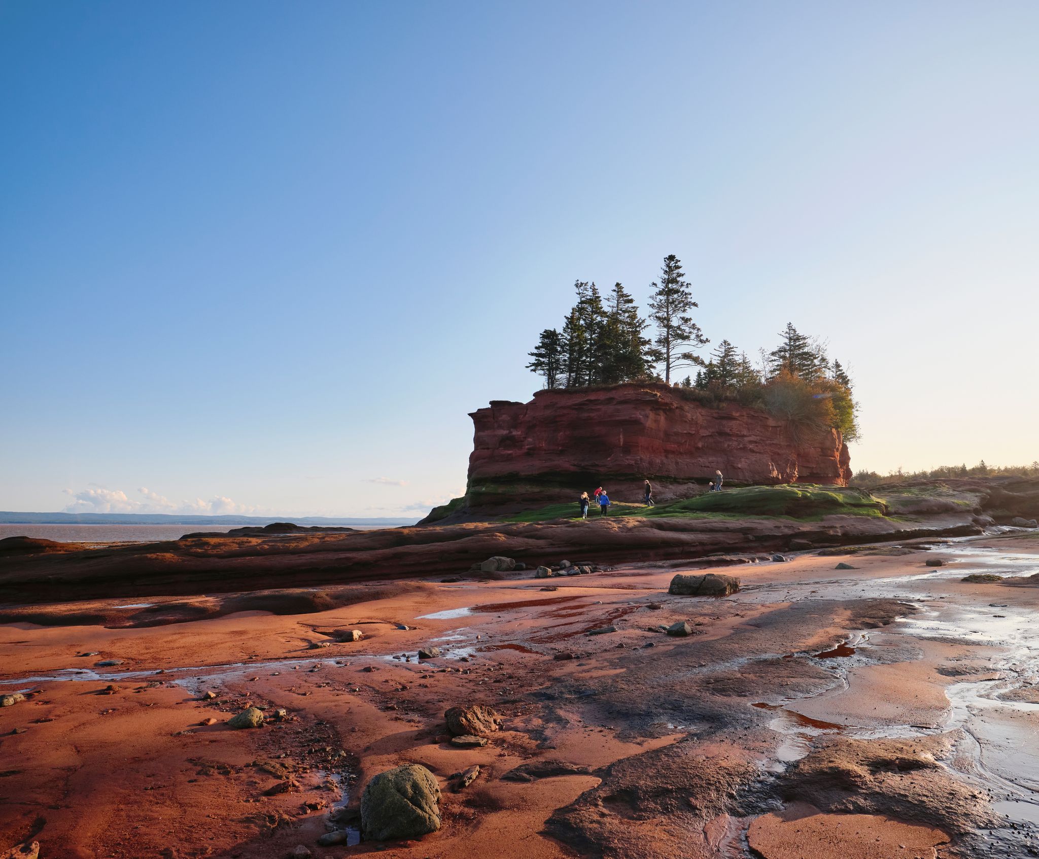
Kings, Subd. B is rich in natural beauty. Many routes offer views of the Minas Basin and the Bay of Fundy, renowned for their high tides. You might encounter impressive red sedimentary cliffs, such as those at Blomidon Provincial Park Red Cliffs, or enjoy panoramic vistas from spots like the Minas Basin Lookout. The region's diverse forests also provide tranquil, scenic backdrops.
Are there any circular running routes in Kings, Subd. B?
Yes, many of the running paths in Kings, Subd. B are designed as loops, allowing you to start and finish at the same point. Examples include the popular Minas Basin Lookout – View of Fundy Shore loop from Shoe Bridge Ledge and the more challenging Van Nostrand's Pond – Elderkin Pond loop from Town of Wolfville.
What do other runners enjoy most about jogging in Kings, Subd. B?
The running routes in Kings, Subd. B are highly rated by the komoot community, with an average score of 4.0 stars. Runners often praise the diverse natural landscapes, from coastal views to lush woodlands, and the well-developed network of trails that cater to various ability levels.
Are the running trails in Kings, Subd. B dog-friendly?
Many trails in Kings County, including those in Kings, Subd. B, are generally dog-friendly, especially in provincial parks and designated trail systems. However, it's always best to check specific park regulations or trail signage for any restrictions, and to keep your dog on a leash and clean up after them.
Are there family-friendly running options in Kings, Subd. B?
While some routes might be more challenging, many of the trails in Kings, Subd. B offer sections suitable for families, especially those looking for a walk or a gentle jog. The region's diverse trails, including those in parks like Blomidon Provincial Park, often have varying lengths and difficulties, allowing families to choose appropriate sections. Always check the route details for distance and elevation to ensure it suits your family's fitness level.
Where can I find parking for the running routes in Kings, Subd. B?
Many popular trailheads and parks in Kings, Subd. B, such as Blomidon Provincial Park and areas around Wolfville, offer designated parking facilities. For specific routes, it's advisable to check the route details on komoot, as they often include information about starting points and nearby parking options.
What towns are good starting points for running in Kings, Subd. B?
Several towns within or near Kings, Subd. B serve as excellent starting points for running. Wolfville is a popular choice, with routes like the Running loop from Town of Wolfville originating there. Port Williams also offers starting points, such as the Running loop from Port Williams. These towns often provide amenities and easy access to various trails.
Are there any challenging running routes for experienced runners in Kings, Subd. B?
Yes, Kings, Subd. B offers routes that provide a good challenge for experienced runners. The Van Nostrand's Pond – Elderkin Pond loop from Town of Wolfville is classified as a difficult path, covering 18.7 km with notable elevation changes. Other routes, like the Vernal Pond – Jodrey trail lookoff loop from White Water, also present moderate challenges with significant elevation gain.
What is the best time of year for running in Kings, Subd. B?
The spring, summer, and fall months generally offer the most pleasant conditions for running in Kings, Subd. B. Spring brings blooming landscapes, summer provides warmth, and fall showcases vibrant foliage. While winter running is possible, be prepared for colder temperatures, potential snow, and icy conditions, especially on less maintained trails.
Most popular attractions around Kings, Subd. B

Get inspired with the komoot mobile app


Explore more
Browse the best Running Trails & Routes in other regions.
