The best cycling routes around Area L (Grasslands)
4.7
(4)
120
riders
16
rides
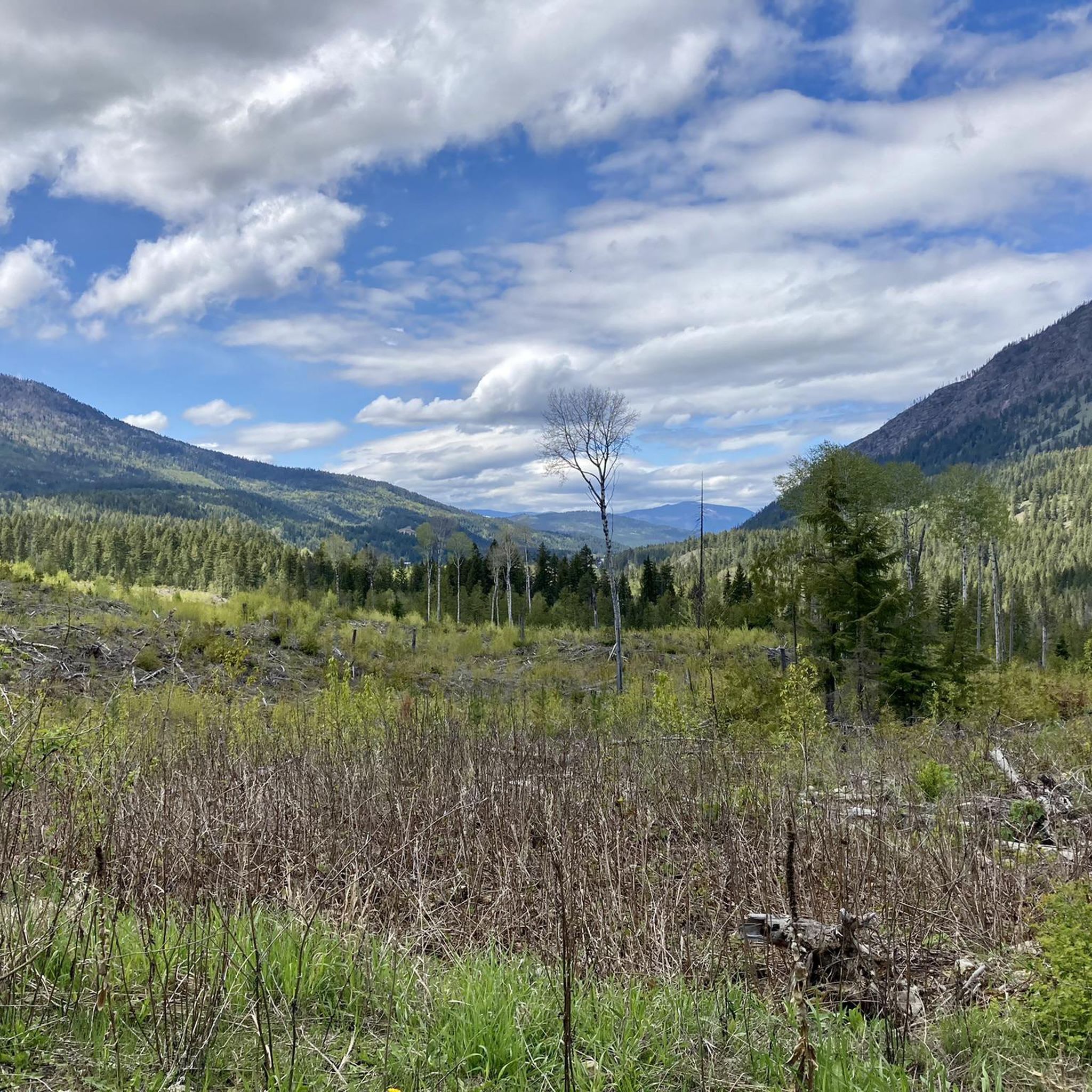
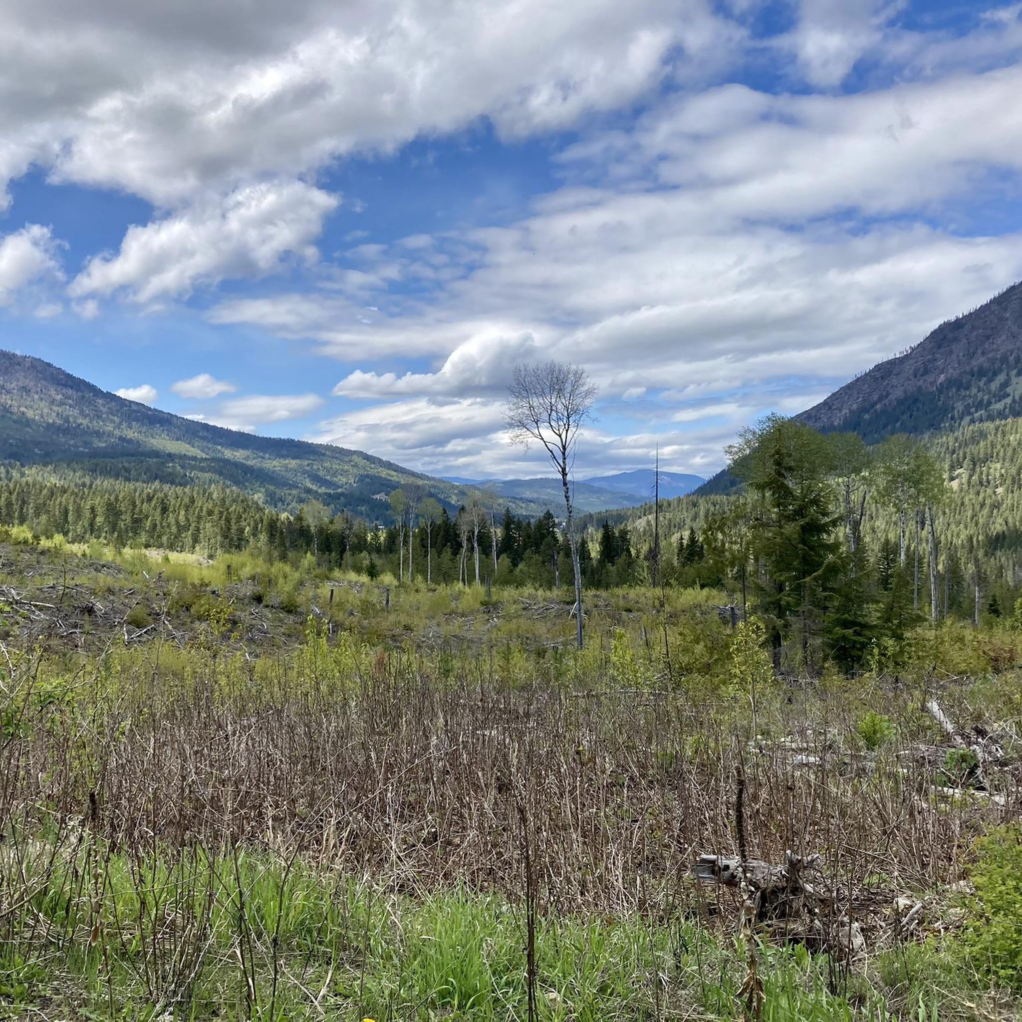
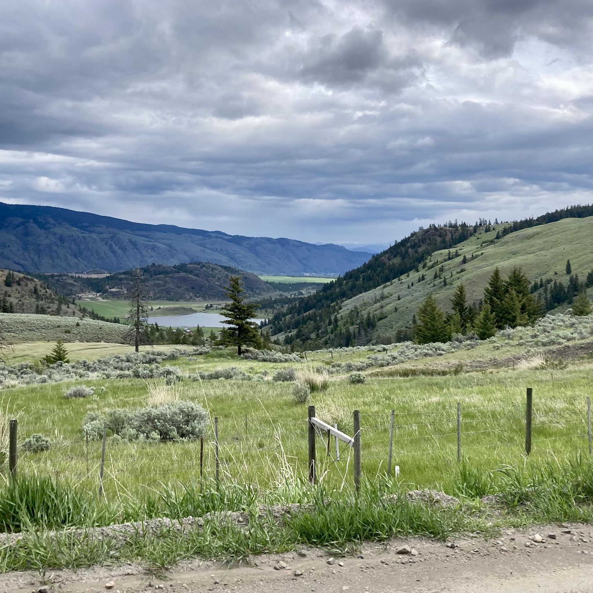
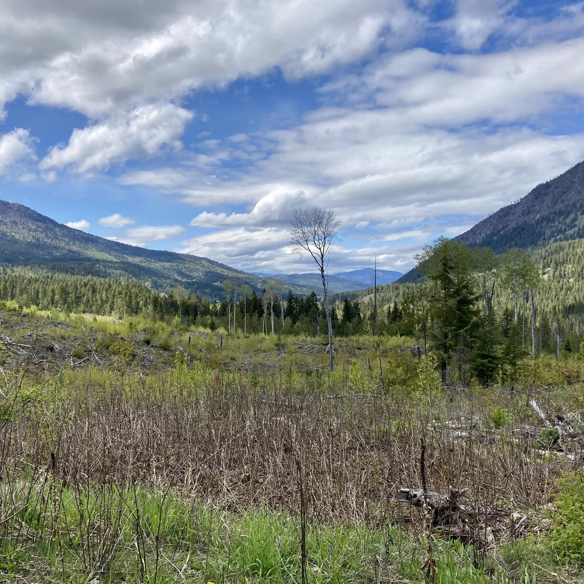
Touring cycling around Area L (Grasslands) offers routes through a landscape characterized by expansive grasslands, rolling hills, and river valleys. The region's semi-arid climate contributes to unique flora and open vistas, providing a distinct backdrop for cycling. Routes often follow natural contours, offering a mix of gentle gradients and more challenging climbs. This area is ideal for those seeking scenic rides with a focus on natural, open environments.
Best touring cycling routes around Area L (Grasslands)
- The most popular touring cycling route is Petting Farm – Cycle Path Detour loop from Kamloops, a 20.8 miles (33.4 km) trail that takes 2 hours 2 minutes to complete. This route offers varied terrain through open grasslands and along designated cycle paths.
- Another top favourite among local touring cyclists is Red Bridge loop from Kamloops, an easy 10.7 miles (17.2 km) path. This route provides scenic views, often following riverbanks and offering a relaxed cycling experience.
- Local touring cyclists also love the Bike loop from Kamloops, a 47.2 miles (75.9 km) trail leading through varied terrain including significant elevation changes, often completed in about 6 hours 25 minutes.
- Touring cycling around Area L (Grasslands) is defined by rolling grasslands, river valleys, and semi-arid terrain. The network offers options for different ability levels, from easy, family-friendly routes to more challenging, long-distance touring bike routes.
- The routes in Area L (Grasslands) are highly rated by the komoot community with an average score of 4.7 stars from 4 reviews. More than 100 touring cyclists have used komoot to explore Area L (Grasslands)'s varied terrain.
Last updated: July 15, 2026
4.0
(2)
20
riders
33.7km
02:03
140m
140m
Moderate bike ride. Good fitness required. Mostly paved surfaces. Suitable for all skill levels.
5.0
(1)
16
riders
17.2km
01:03
70m
70m
Easy bike ride. Great for any fitness level. Mostly paved surfaces. Suitable for all skill levels.

Sign up for free
9
riders
74.1km
06:23
1,260m
1,260m
Hard bike ride. Very good fitness required. Mostly paved surfaces. Suitable for all skill levels.
5.0
(1)
8
riders
38.4km
03:18
860m
860m
Hard bike ride. Very good fitness required. Mostly paved surfaces. Suitable for all skill levels.
8
riders
54.0km
04:21
980m
980m
Hard bike ride. Very good fitness required. Mostly paved surfaces. Suitable for all skill levels.
Get access to more routes and recommendations from other explorers.
Sign up for free
Already have an account?
Our route recommendations are based on thousands of hikes, rides, and runs completed by other people on komoot.
Start today with a free account
Your next adventure awaits.
Login or Signup

Tips from the Community

The park has a neat row of benches overlooking the South Thompson River, open green space, and a collection of large outdoor modern art statues including the 'Forest Plaza' and 'Creation'. The path is paved and partially shaded by trees planted along the waterfront.
0
0
The Rivers Trail at Pioneer Park is a paved path that takes you by the old railway with beach access and plenty of parking. It's fun to see the old rail cars along the side of the path, and you get a nice view of the river by the bridge.
0
0

Tom Moore Trail is a picturesque route through Peterson Creek Nature Park that follows the canyon rim and the creek, with a mix of open grassland and shaded forest. The trail passes bridges, rocky viewpoints, and sections of flowing water, with steady climbs and overlooks with breathtaking views across the canyon and toward Kamloops. The varied terrain and changing scenery make it one of the park’s most rewarding ways to explore the area on foot.
0
0
Peterson Creek Nature Park is a beautiful natural area in Kamloops, with rugged hillsides, sagebrush grasslands, and shaded creekside trails that create a surprisingly peaceful setting close to downtown. There is a network of walking paths that wind through the canyon, crossing bridges and climbing to viewpoints overlooking Peterson Creek, with seasonal waterfalls and plenty of varied terrain adding to the scenery. The mix of dry grasslands, forested sections, and flowing water gives the park a distinct landscape that feels wild, yet it's easily accessible, making it a fantastic place to spend time outdoors.
0
0

This park has 12 baseball diamonds, disc golf, multi-use paths, soccer fields, a skate park, tennis courts, a stadium, event centre, and more! In short, there is something for everyone here, so no matter what you're looking for you'll likely find it.
0
0
The hills of Upper Sahali are crisscrossed with hiking trails. If you're in the right spot at the right time you'll be treated to epic views of the sunset.
0
0

The Grasslands loop is a short, easy labeled trail that offers superb views of Kamloops. It was renovated as part of the city's #access4all campaign.
0
0

At the highest point of Peterson Creek Nature Park, the trail forms a loop offering a panoramic view of Kamloops. From here, you can admire the city's landscape, with its road bridge in the foreground and Mount Peter in the background.
0
0
Frequently Asked Questions
How many touring cycling routes are available in Area L (Grasslands)?
There are over 15 touring cycling routes available in Area L (Grasslands), catering to various skill levels and preferences. You'll find a diverse selection, from easy riverside paths to more challenging, long-distance loops.
What kind of terrain can I expect on touring cycling routes in Area L (Grasslands)?
The terrain in Area L (Grasslands) is characterized by expansive grasslands, rolling hills, and river valleys. Routes often follow natural contours, offering a mix of gentle gradients and more challenging climbs, all set against open vistas and unique semi-arid flora.
Are there easy touring cycling routes suitable for beginners or families in Area L (Grasslands)?
Yes, Area L (Grasslands) offers several easy touring cycling routes perfect for beginners or families. An excellent option is the Red Bridge loop from Kamloops, an easy 10.7-mile (17.2 km) path that provides scenic views, often following riverbanks for a relaxed cycling experience.
What are some longer touring cycling routes for experienced cyclists in Area L (Grasslands)?
For experienced cyclists seeking a challenge, Area L (Grasslands) has several longer routes. The Bike loop from Kamloops is a difficult 47.2-mile (75.9 km) trail with significant elevation changes, typically taking over six hours to complete. Another challenging option is the Dufferin Hill – Ironmask Hill loop from Kamloops, covering 56.3 miles (90.6 km) with substantial climbs.
Are there any circular touring cycling routes in Area L (Grasslands)?
Many of the touring cycling routes in Area L (Grasslands) are designed as loops, allowing you to start and end at the same point. Examples include the popular Petting Farm – Cycle Path Detour loop from Kamloops and the longer My First 1000 K loop from Kamloops.
What can I see along the touring cycling routes in Area L (Grasslands)?
Along the touring cycling routes, you can discover various natural and scenic attractions. Keep an eye out for wild shrubs along the trail, enjoy the view of the Thompson River from Mount Paul Way Bridge, or visit Syphon Falls. There's also Riverside Park Beach for a relaxing stop.
What is the best time of year for touring cycling in Area L (Grasslands)?
Given the region's semi-arid climate, spring and fall generally offer the most pleasant conditions for touring cycling in Area L (Grasslands), with milder temperatures. Summers can be hot and dry, while winters may bring colder weather, though specific conditions vary.
What do other touring cyclists enjoy most about cycling in Area L (Grasslands)?
The touring cycling routes in Area L (Grasslands) are highly rated by the komoot community, with an average score of 4.7 stars. Cyclists often praise the open vistas, the unique grassland scenery, and the variety of routes that cater to different abilities, from gentle riverbank rides to challenging hill climbs.
Are there opportunities for wildlife spotting while touring cycling in Area L (Grasslands)?
Yes, the open grasslands and river valleys of Area L (Grasslands) provide opportunities for wildlife spotting. Cyclists may encounter various bird species, small mammals, and other local fauna characteristic of a semi-arid environment. Maintaining a respectful distance and quiet observation is recommended.
Are there any specific trails or areas known for scenic viewpoints in Area L (Grasslands)?
Many routes offer scenic viewpoints, showcasing the expansive grasslands and river landscapes. A notable spot is the View of the Thompson River from Mount Paul Way Bridge, which provides a great perspective of the surrounding area.
How accessible are the touring cycling routes in Area L (Grasslands) by public transport?
Many touring cycling routes in Area L (Grasslands) start from Kamloops, which serves as a central hub. While specific public transport options for reaching trailheads can vary, Kamloops itself has public transit services that might connect to areas near some starting points. It's advisable to check local transit schedules for routes that accommodate bicycles.
Where can I find parking for touring cycling routes in Area L (Grasslands)?
For routes starting from Kamloops, such as the Petting Farm – Cycle Path Detour loop or the Red Bridge loop, parking is generally available in or around the city. Specific parking details for individual trailheads can often be found on the respective route pages on komoot or through local tourism information.
Most popular attractions around Area L (Grasslands)

Get inspired with the komoot mobile app


Explore more
Browse the best Cycling routes in other regions.
