The best walks and hikes around Dam Vrané
4.3
(164)
1,570
hikers
123
hikes
Hiking around Dam Vrané offers diverse terrain shaped by the Vltava and Sázava rivers in Central Bohemia. The landscape features picturesque river bends, dense forests, and valleys with varying ascents and descents. The Vrané Reservoir, part of the Vltava Cascade, is surrounded by areas suitable for both gentle walks and more challenging hikes. This region provides a mix of riverside paths and trails leading through wooded areas.
Best hiking trails around Dam Vrané
- The most popular hiking route is Svatojánské…
Last updated: July 10, 2026
4.9
(44)
434
hikers
14.7km
04:44
350m
350m
Hard hike. Good fitness required. Sure-footedness, sturdy shoes and alpine experience required.
5.0
(2)
29
hikers
25.0km
07:44
610m
610m
Hard hike. Very good fitness required. Sure-footedness, sturdy shoes and alpine experience required.

Sign up for free
4.5
(2)
14
hikers
6.22km
01:53
210m
210m
Easy hike. Great for any fitness level. Easily-accessible paths. Suitable for all skill levels.
4.0
(4)
8
hikers
14.8km
04:10
300m
300m
Moderate hike. Good fitness required. Easily-accessible paths. Suitable for all skill levels.
5.0
(1)
7
hikers
7.22km
02:04
160m
160m
Moderate hike. Good fitness required. Easily-accessible paths. Suitable for all skill levels.
Get access to more routes and recommendations from other explorers.
Sign up for free
Already have an account?
Our route recommendations are based on thousands of hikes, rides, and runs completed by other people on komoot.
Start today with a free account
Your next adventure awaits.
Login or Signup
Tips from the Community

The Midsummer Streams were also sought out by the first boatmen, who built simple dwellings and later log cabins around the river. This is how the first tramp settlement, Ztracenka or Lost Hope, was established here. With the construction of the Štěchovice Dam, the entire valley and settlements remained underwater. However, tramps found their way here again. In 1889, the first tourist route in our country was built above the river, which you can still walk on today.
4
0
The Midsummer Streams were also sought out by the first boatmen, who built simple dwellings and later log cabins around the river. This is how the first tramp settlement, Ztracenka or Lost Hope, was established here. With the construction of the Štěchovice Dam, the entire valley and settlements remained underwater. However, tramps found their way here again. In 1889, the first tourist route in our country was built above the river, which you can still walk on today.
4
0
The rapids in the section of the Vltava between Štěchovice and Slapy, where the river flows through a deep rocky valley, were called the Svatojánské prostřed. The name comes from the Baroque statue of John of Nepomuk, a protector against water dangers. Since 1943, the area has been flooded by the Štěchovice reservoir.
5
0
The village of Rabyně is located in the district of Benešov, region of Středočeský. 292 inhabitants live here. The village also includes the villages of Blaženice, Loutí, Měřín and Nedvězí. At a distance of 16 km to the south is the city of Sedlčany, 18 km to the east is the city of Benešov, 20 km to the west is the city of Dobříš and 26 km to the northeast is the city of Říčany. The right side of the Slap dam falls on the territory of Rabyně. On the way from the dam to Ztracen, we came across the final car stop - Točna U Mařeny.
2
0

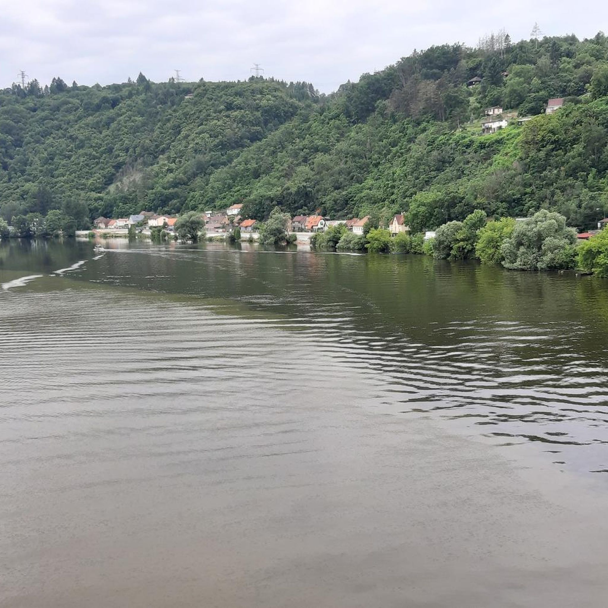
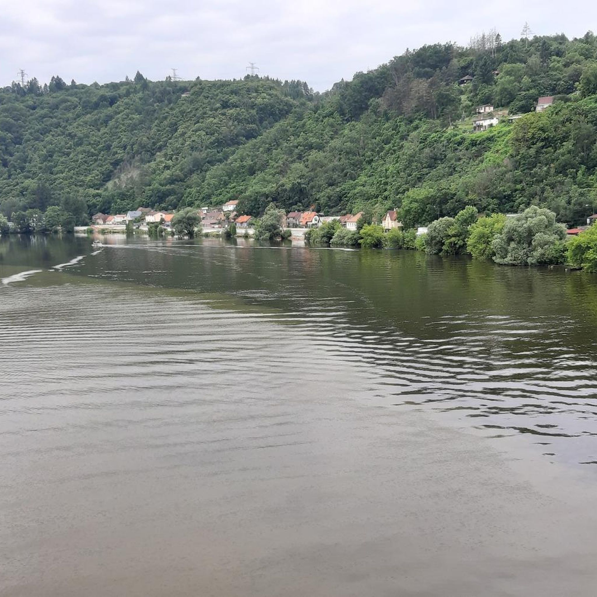
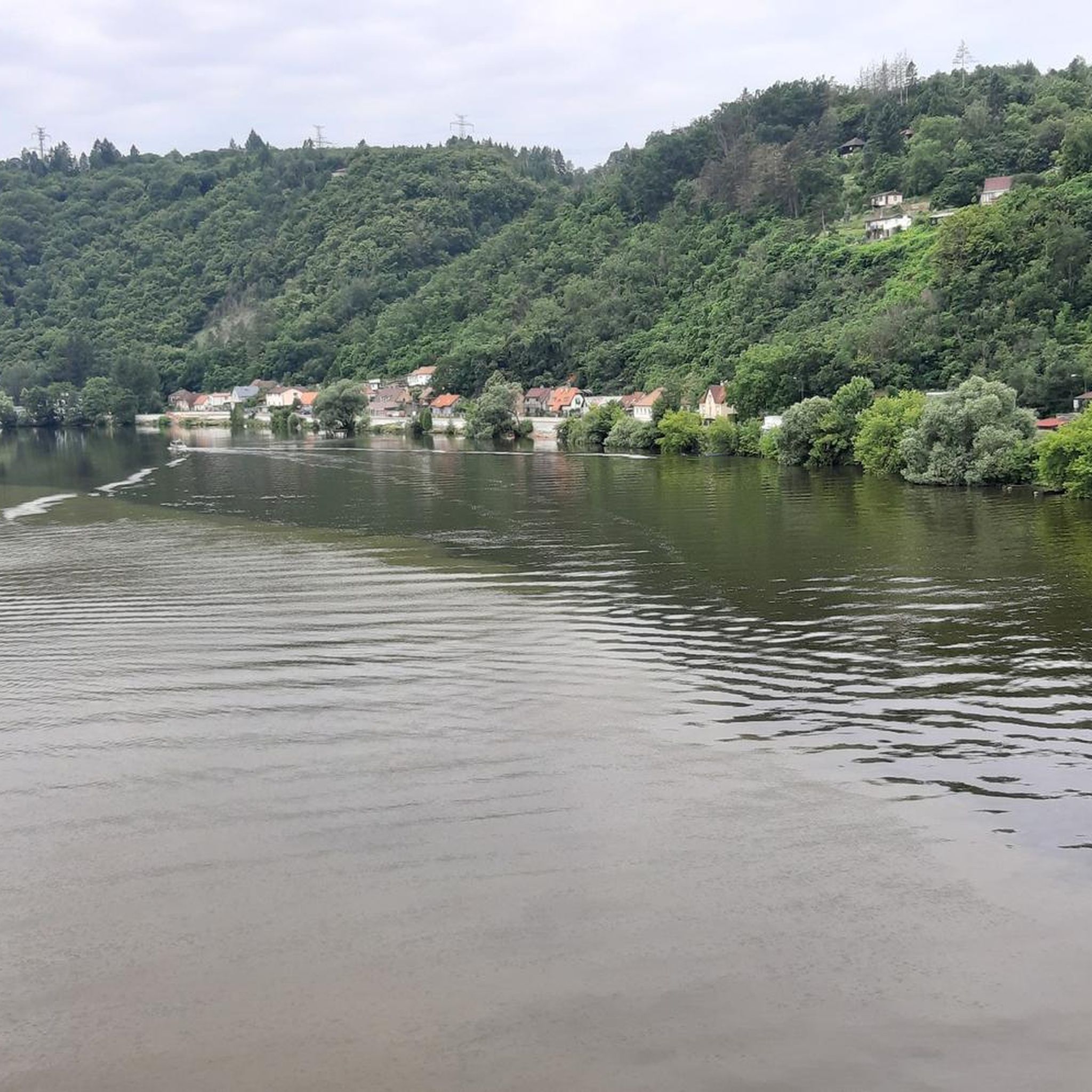
Beautiful view of the Vltava
2
0

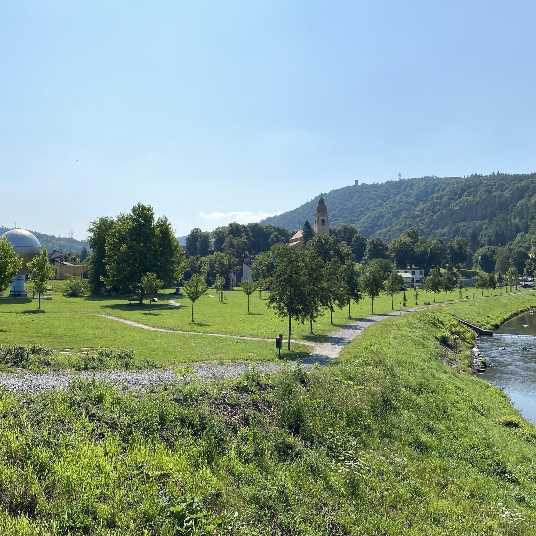
Beautiful piece of nature, definitely worth a visit.
1
0
This is the beginning of the route to "the horseshoe".
2
0

Fantastic route. It took us over 3 hours with our daughters aged 13 and 11. Beautiful views and fairytale forest. A big 10 for all four of us!
1
0
Frequently Asked Questions
What kind of hiking terrain can I expect around Dam Vrané?
The terrain around Dam Vrané, particularly near Vrané nad Vltavou, is shaped by the Vltava and Sázava rivers. You'll find picturesque river bends, dense forests, and valleys with varying ascents and descents. The region offers a mix of flat riverside paths, such as the 5 km asphalt path between Vrané and Zbraslav, and trails with significant elevation gain through wooded areas. For example, the Svatojánské proudy and Ztracenka – Ztracenka loop from Štěchovice involves over 350 meters of elevation gain.
Are there easy hiking options suitable for beginners or relaxed walks?
Yes, there are plenty of easy hiking options. Out of 130 available tours, 45 are classified as easy. The flat, 5 km asphalt path between Vrané and Zbraslav, running directly beside the Vltava river, is ideal for relaxed walks. An example of an easy loop is the Hiking loop from Štěchovice, which is 6.2 km long with moderate elevation.
What are some notable natural features or landmarks to see while hiking?
Around Vrané nad Vltavou, you can enjoy picturesque views of the Vltava horseshoe bend and explore the ancient Celtic oppidum Závist, the largest known Celtic oppidum in the Czech Republic. A new wooden lookout tower there offers beautiful views. You might also encounter the historic Posázavský Pacifik railway line. Highlights include the Vltava River Between Prague and Štěchovice and the Davle Pedestrian Bridge.
Are there any circular hiking routes around Dam Vrané?
Yes, many routes in the area are designed as loops. For instance, the Hiking loop from Vrané nad Vltavou is a 7.2 km trail that leads through forested areas and along the Vltava. Another popular option is the Davle Pedestrian Bridge – Petrov Railway Station loop from Davle, which offers varied scenery along the river.
What do other hikers enjoy most about hiking in Dam Vrané?
The area is highly rated by the komoot community, with an average score of 4.5 stars from over 160 reviews. Hikers often praise the diverse terrain, from riverside paths to forested hills, and the beautiful views of the Vltava river. The variety of routes caters to different ability levels, making it a popular choice for many.
How can I get to the hiking trails around Dam Vrané using public transport?
The Vrané nad Vltavou area is well-connected by public transport, particularly by train. The Posázavský Pacifik railway line serves the region, making it convenient to reach various trailheads. You can often start hikes directly from train stations like Vrané nad Vltavou or Davle. It's advisable to check local train schedules for the most current information.
Are there family-friendly hiking trails in the Dam Vrané area?
Yes, the region offers several family-friendly options. The flat, 5 km asphalt path between Vrané and Zbraslav is particularly suitable for families with younger children or strollers. Many of the easier trails, like the Hiking loop from Štěchovice, are also great for a family outing, offering pleasant walks through nature without excessive difficulty.
Can I bring my dog on the hiking trails around Dam Vrané?
Generally, dogs are welcome on trails in the Dam Vrané area. The natural environment with forests and riverside paths provides a great setting for walks with your canine companion. However, it's always recommended to keep dogs on a leash, especially in more populated areas, near wildlife, or when passing through villages, to ensure safety and respect for other hikers and the environment.
What is the best time of year to go hiking around Dam Vrané?
The Dam Vrané area is enjoyable for hiking throughout much of the year. Spring and autumn are particularly beautiful, with pleasant temperatures and vibrant foliage. Autumn, in particular, is noted for its scenic landscapes around the dam. Summer offers warm weather for riverside activities, while winter can provide unique, quiet experiences, though some paths might be icy or muddy.
Are there any places to eat or drink near the hiking trails?
Yes, the villages and towns along the Vltava, such as Vrané nad Vltavou and Davle, offer various amenities including cafes, pubs, and restaurants where you can refresh yourself after a hike. These establishments are often conveniently located near trailheads or along popular routes, providing a good opportunity to relax and enjoy local cuisine.
How long do hikes typically take around Dam Vrané?
Hiking durations vary significantly depending on the route's length and difficulty. You can find shorter walks, like the Hiking loop from Vrané nad Vltavou (7.2 km), which takes about 2 hours. Longer, more challenging routes, such as the Svatojánské proudy and Ztracenka – Ztracenka loop from Štěchovice (14.7 km), can take closer to 4 hours 45 minutes. There are options for all preferences, from quick strolls to full-day excursions.
Most popular routes around Dam Vrané
Most popular attractions around Dam Vrané

Get inspired with the komoot mobile app


Explore more
Browse the best Hikes in other regions.
