The best walks and hikes around Damflos
4.5
(12253)
41,442
hikers
727
hikes
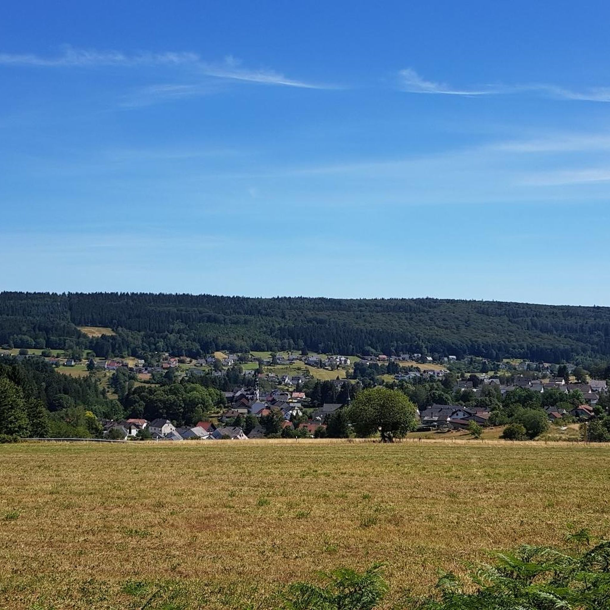
Hiking around Damflos offers diverse trails within the Trier-Saarburg district, bordering the Saar-Hunsrück Nature Park. The region is characterized by rolling hills, dense forests, and the tranquil Mühlbach stream. Varied terrain includes forest paths, open pastures, and meadows, providing a setting for outdoor activities.
Best hiking trails around Damflos
- The most popular hiking route is Züscher Hammer – Nonnweiler Reservoir loop from Züsch, a 4.5 miles (7.2 km) trail that takes about 2 hours to complete. This easy route…
Last updated: October 3, 2026
4.8
(18)
74
hikers
10.7km
03:01
230m
220m
Moderate hike. Good fitness required. Easily-accessible paths. Suitable for all skill levels.
4.8
(15)
60
hikers
Hard hike. Very good fitness required. Mostly accessible paths. Sure-footedness required.

4.6
(13)
20
hikers
7.22km
02:00
120m
130m
Easy hike. Great for any fitness level. Easily-accessible paths. Suitable for all skill levels.
3.0
(1)
12
hikers
Moderate hike. Good fitness required. Easily-accessible paths. Suitable for all skill levels.
4.5
(2)
11
hikers
7.92km
02:18
220m
220m
Moderate hike. Good fitness required. Easily-accessible paths. Suitable for all skill levels.
Get access to more routes and recommendations from other explorers.
Already have an account?
Our route recommendations are based on thousands of hikes, rides, and runs completed by other people on komoot.
Start today with a free account
Your next adventure awaits.
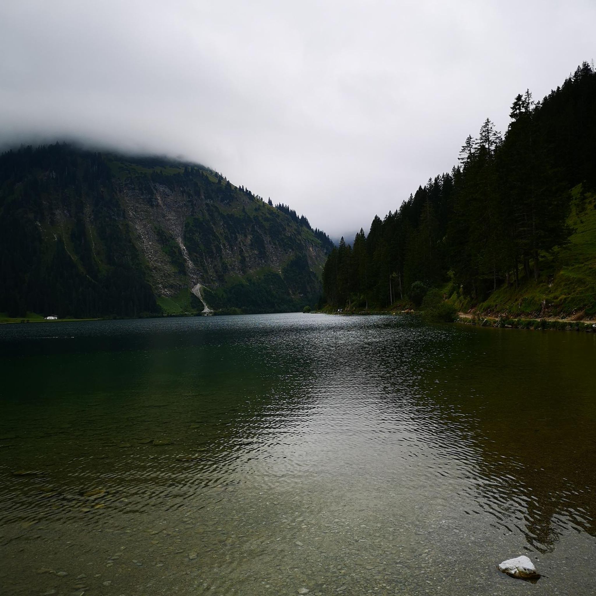
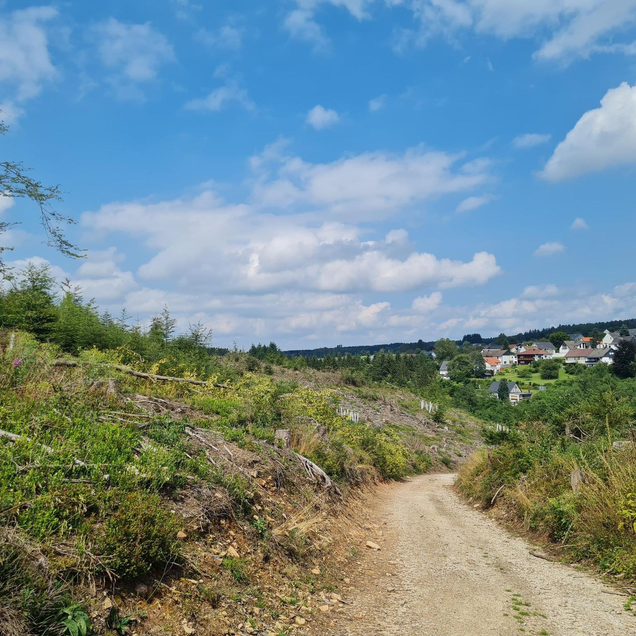
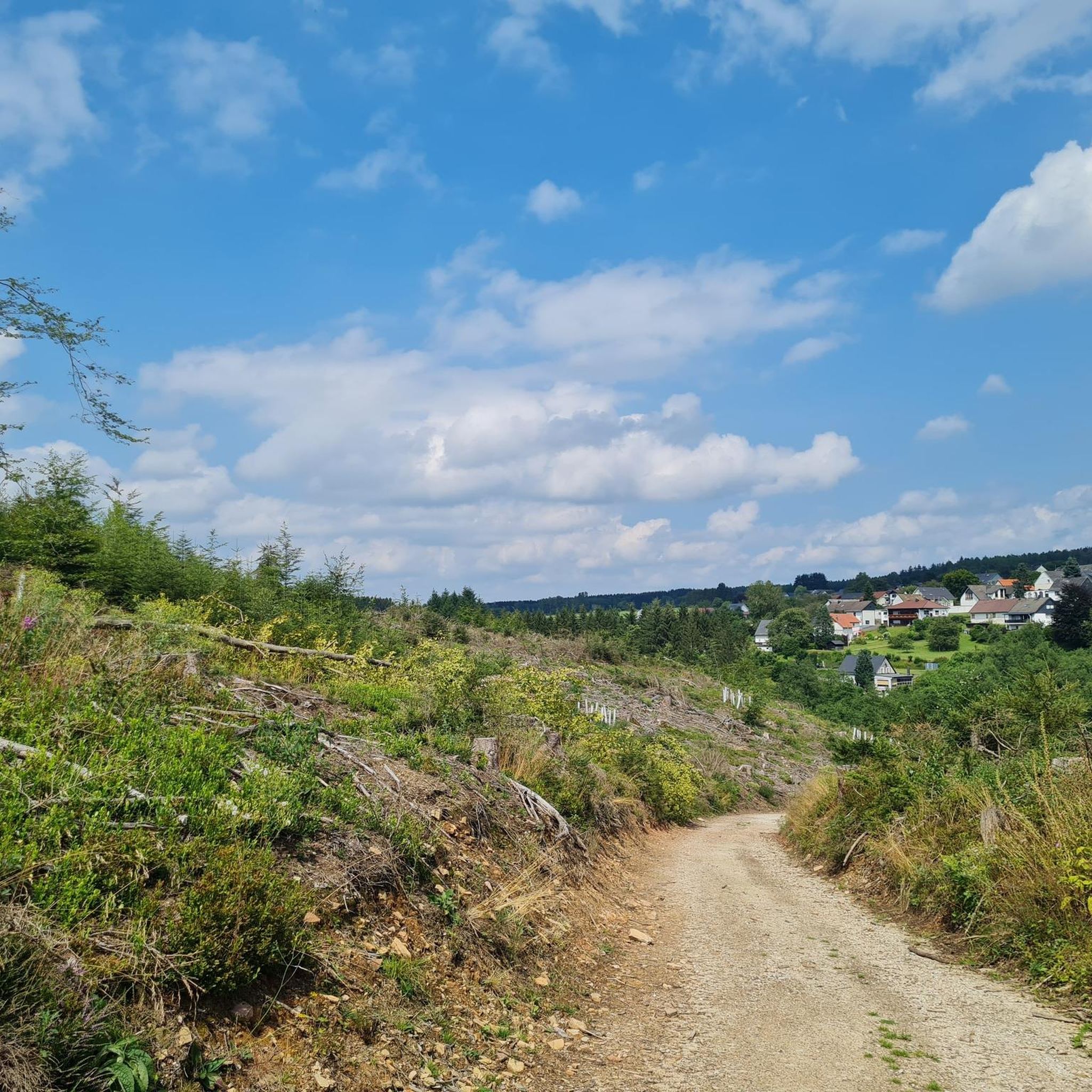
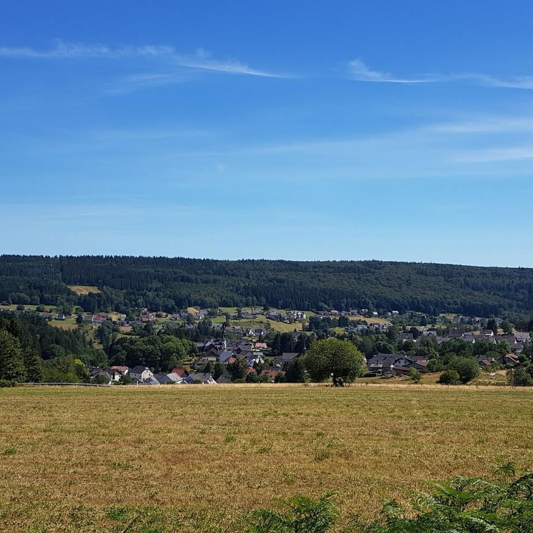
Tips from the Community

On the day I was there, unfortunately there was no water available.
0
0
Nice place with seating.
0
0


Welcome refreshment on the tour! At the Dollberg spring, a lovingly set up self-service drink station invites you for a short stop. Perfect for refueling, taking a breath, and enjoying the quiet forest atmosphere.
6
0
Beautiful resting place directly on the Nonnweiler reservoir with a shelter and a small bridge. Ideal for a break with a view of the water, to catch your breath and rest on the tour. A quiet, atmospheric place for a short recovery.
6
0
Idyllically located ski hut on the Dollberg, the highest point in Saarland. A cozy resting place in the middle of the forest – ideal for a break, to catch your breath, and to enjoy the quiet atmosphere.
5
0
Frequently Asked Questions
How many hiking trails are available around Damflos?
There are over 680 hiking trails in the Damflos area, offering a wide range of options for all skill levels. This includes more than 350 easy routes, nearly 300 moderate paths, and 30 more challenging expeditions.
What types of terrain can I expect on hikes near Damflos?
The Damflos region, situated on the edge of the Saar-Hunsrück Nature Park, features diverse terrain. You'll encounter picturesque rolling hills, dense forests, tranquil stream valleys like the Mühlbach, and a mix of forest paths, open pastures, and meadows.
What is the best time of year to go hiking in Damflos?
The most pleasant seasons for hiking in Damflos are typically spring and autumn. During spring, the nature is in full bloom, especially along the Mühlbach stream. Autumn offers vibrant colorful foliage, making for particularly scenic walks.
Are there any easy or beginner-friendly hikes in Damflos?
Yes, Damflos offers many easy routes suitable for beginners or those looking for a relaxed stroll. An excellent option is the Trail Marker 'Das Züscht' – The Old Tree Stump loop from Züsch, which is about 6.4 kilometers long and takes around 1 hour and 45 minutes to complete.
Are there family-friendly hiking routes in the Damflos area?
Absolutely. Many trails in Damflos are suitable for families. The 'Hochwald Tour' is an approximately 10-kilometer route circling the village with great views, and some 'Traumschleifen' (Dream Loops) are also designed to be family-friendly, offering diverse landscapes and viewpoints.
Are there any circular hiking routes around Damflos?
Yes, the region is well-suited for circular hikes. The 'Hochwald Tour' is a notable circular route, and the 'Traumschleifen' are also designed as circular trails. For a moderate option, consider the Züsch Multi-Generational Square – Sunset View at Diebskopf loop from Züsch, which is about 10 kilometers long.
What interesting landmarks or natural features can I see along the hiking trails?
Hikers can discover several notable landmarks and natural features. You might encounter the Erbeskopf, the highest point in Rhineland-Palatinate, offering expansive views. The Dollberg, Saarland's highest point, is also nearby. The Nonnweiler Reservoir is a significant natural feature, and you can also find the Mannfels Rock Formation.
Are there any trails that offer scenic viewpoints?
Many trails in Damflos lead to scenic viewpoints. The Sunset View at Diebskopf – Züsch Multi-Generational Square loop from Züsch is a moderate 15-kilometer path specifically highlighted for its views towards Diebskopf. The Erbeskopf also provides expansive views from its observation tower.
What do other hikers enjoy the most about hiking in Damflos?
The hiking routes in Damflos are highly rated by the komoot community, with an average score of 4.5 stars from over 9,900 reviews. Hikers often praise the diverse landscapes, the tranquility of the forests, and the well-maintained paths that cater to various fitness levels.
Are there any trails that pass by water features like lakes or streams?
Yes, the region is rich in water features. The idyllic Mühlbach stream offers tranquil paths, and several routes incorporate the Nonnweiler Reservoir. For example, the Züscher Hammer – Nonnweiler Reservoir loop from Züsch is an easy route that leads directly towards the reservoir.
Are there any historical or themed trails in the area?
Yes, the 'Dä hohle Wää' Dream Route is a notable trail that combines historical and scenic highlights. This approximately 5.8-kilometer path features themed boards detailing topics such as 'Celts and Romans,' 'Charcoal burning and forest hut villages,' and 'Flowing waters,' offering an educational and engaging experience.
How long do hikes around Damflos typically take?
Hike durations vary significantly depending on the route and your pace. Easy routes like the Züscher Hammer – Nonnweiler Reservoir loop from Züsch can take around 2 hours for 7.2 kilometers. Moderate trails, such as the Wooden Bridge Over the Prims – View of Primstal loop from Damflos (11 kilometers), typically take about 3 hours.
Most popular routes around Damflos
Most popular attractions around Damflos

Get inspired with the komoot mobile app


Explore more
Browse the best Hikes in other regions.
