The best walks and hikes around Behler Lake
4.6
(13028)
45,655
hikers
699
hikes
Hiking trails around Behler Lake offer diverse routes through a scenic lake district. The region is characterized by its numerous lakes, including Behler Lake itself, Dieksee, and Großer Plöner See, providing a landscape of water features and surrounding woodlands. Trails often follow the lake shores, offering views across the water and through forested areas. The terrain is generally gentle, with modest elevation changes, making it accessible for various hiking abilities.
Best hiking trails around Behler Lake
- The most popular hiking…
Last updated: August 15, 2026
4.6
(838)
2,758
hikers
12.1km
03:09
70m
70m
Moderate hike. Good fitness required. Mostly accessible paths. Sure-footedness required.
4.8
(6)
33
hikers
Hard hike. Very good fitness required. Easily-accessible paths. Suitable for all skill levels.

Sign up for free
4.6
(419)
1,163
hikers
Moderate hike. Good fitness required. Easily-accessible paths. Suitable for all skill levels.
4.7
(194)
481
hikers
Moderate hike. Great for any fitness level. Mostly accessible paths. Sure-footedness required.
4.6
(70)
265
hikers
Moderate hike. Great for any fitness level. Mostly accessible paths. Sure-footedness required.
Get access to more routes and recommendations from other explorers.
Sign up for free
Already have an account?
Our route recommendations are based on thousands of hikes, rides, and runs completed by other people on komoot.
Start today with a free account
Your next adventure awaits.
Login or Signup
Tips from the Community

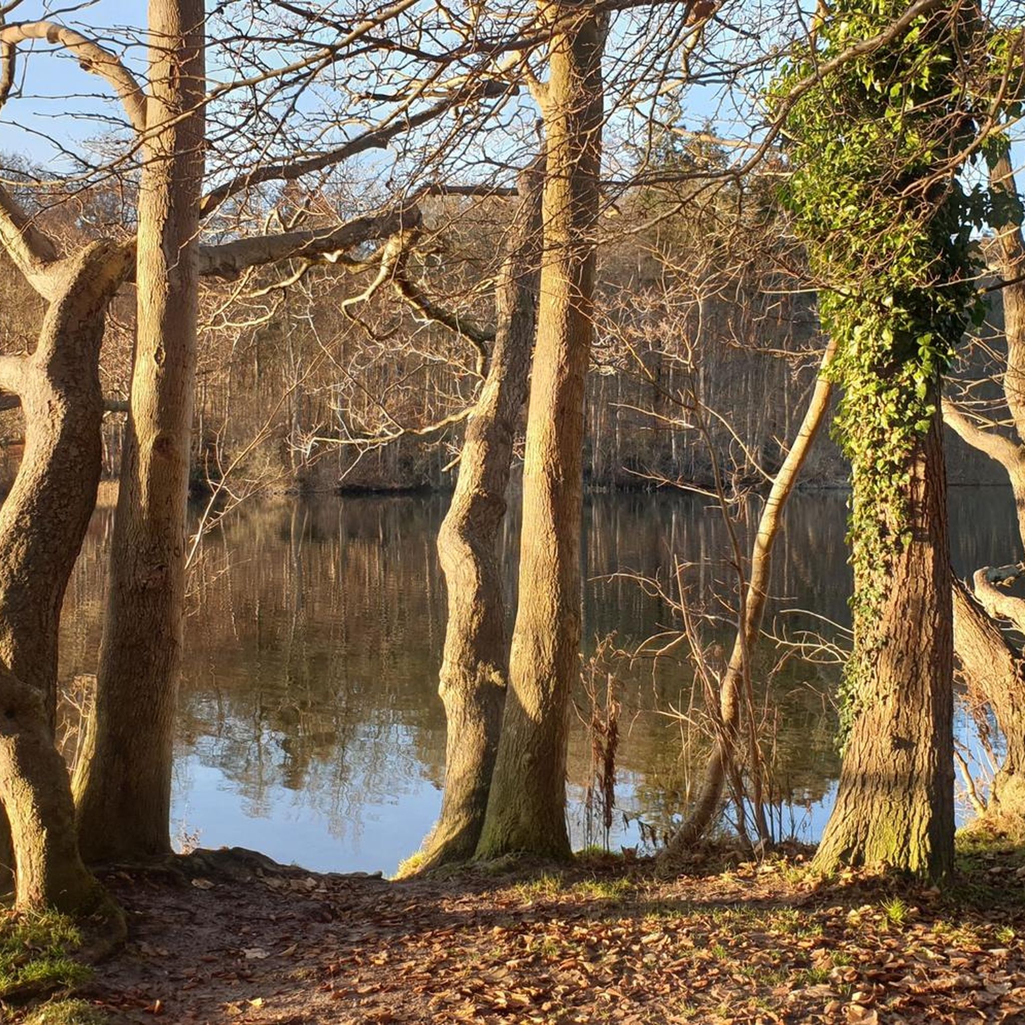
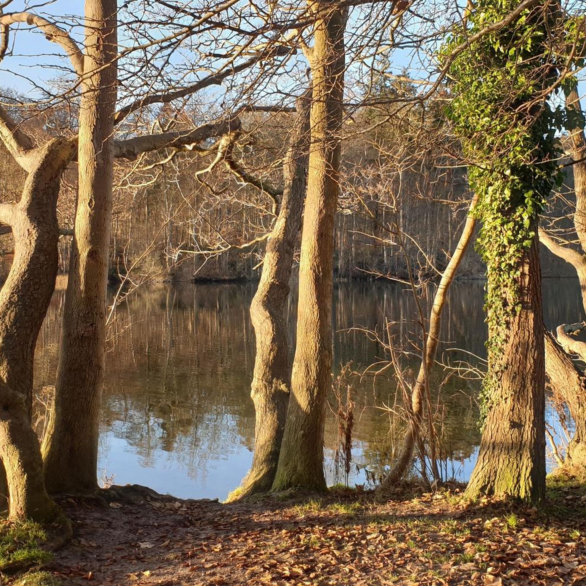
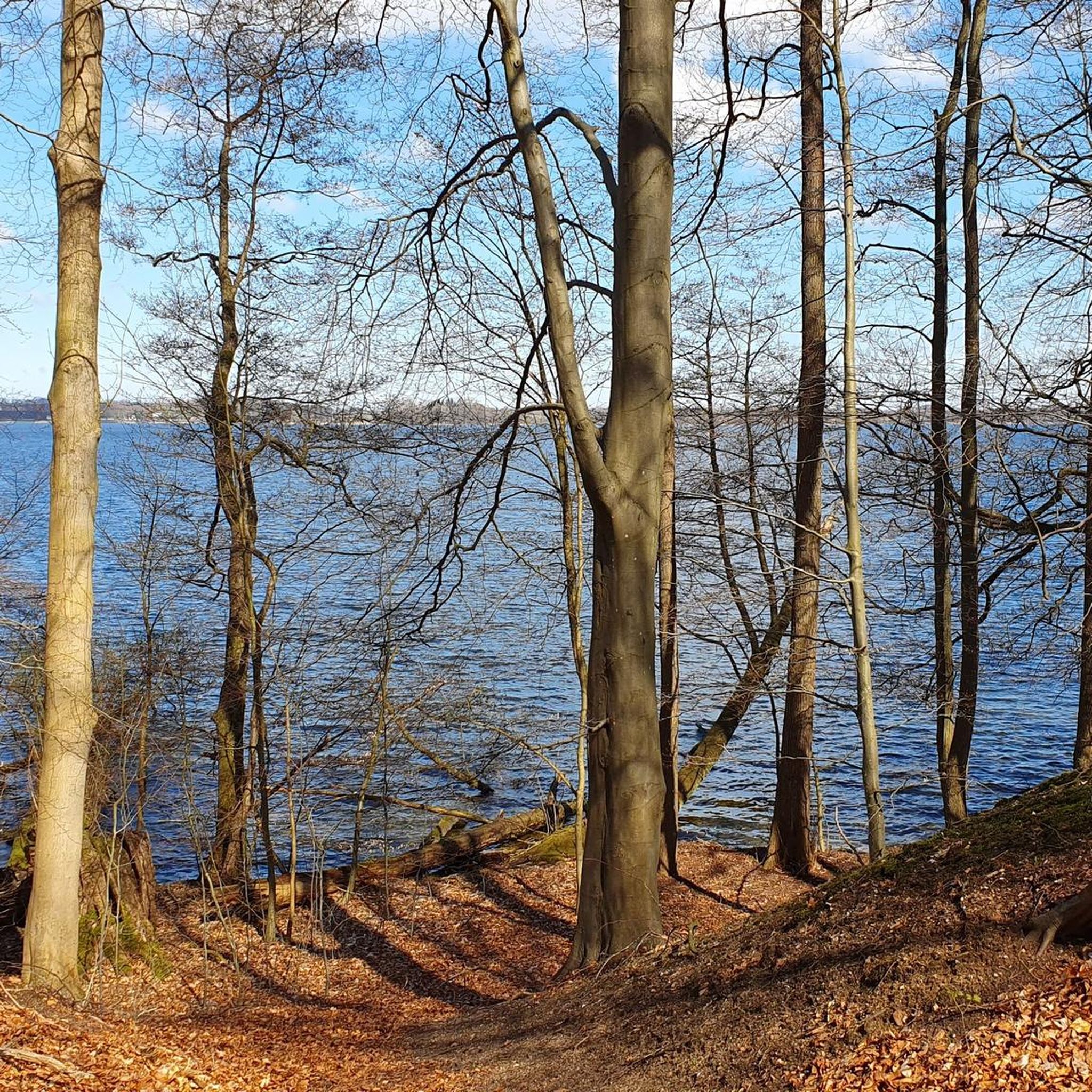
Stamp box no. 5 of the Holsteinische Schweiz hiking pass: Field path at the Schöhsee Plön. Shady, located directly on the lake shore. 54.1670012508051, 10.4355054015999 https://www.holsteinischeschweiz.de/wanderpass/wanderrouten-mit-stempelkaesten
0
0

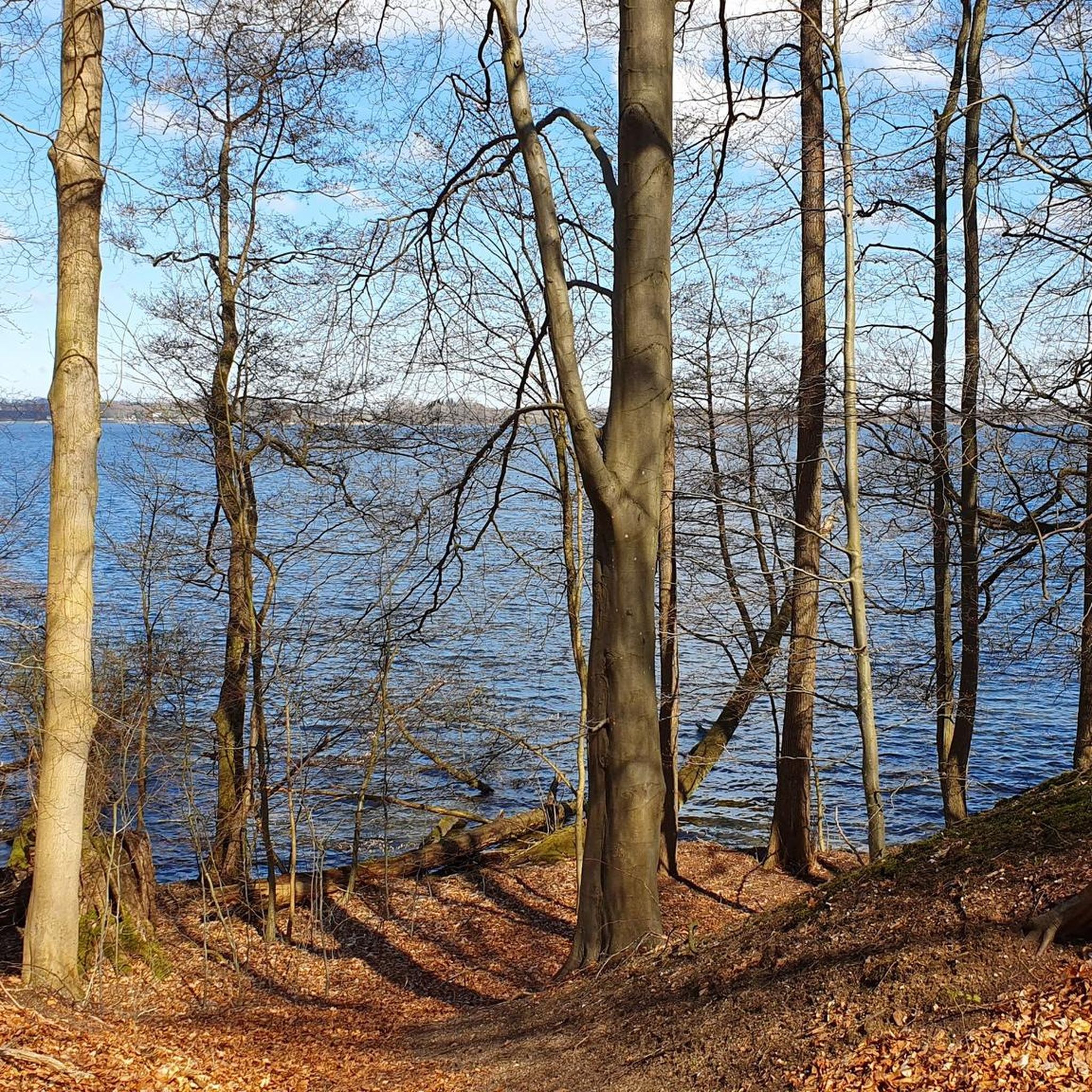
The Dieksee has varied, protected shores with a high quality of stay and there is much to discover.
1
0

Discover the Holstein Switzerland and enjoy your hike along the circular routes Kellersee, Plöner Seen and Segeberger Flüsse und Seen. Look out for our 20 stamp boxes and take a short break there. In the stamp boxes you will find a stamp with a motif from the Holstein Switzerland and a number as well as a stamp pad. Press the stamp onto the correspondingly numbered field in your hiking pass and continue to the next stamp box.
7
0

The tent camp is idyllically nestled between Behler See and Langensee... The perfect adventure playground for children.
1
0
Perfectly situated for a short rest stop for hikers between Suhrer See and Langensee
1
0
A pretty little river that flows into the Kellersee lake... it is spanned here by two bridges... the Malenter Au was renaturalized years ago...
2
0
Beautiful view from the shore of the Kellersee across the lake of the same name towards Eutin
1
0
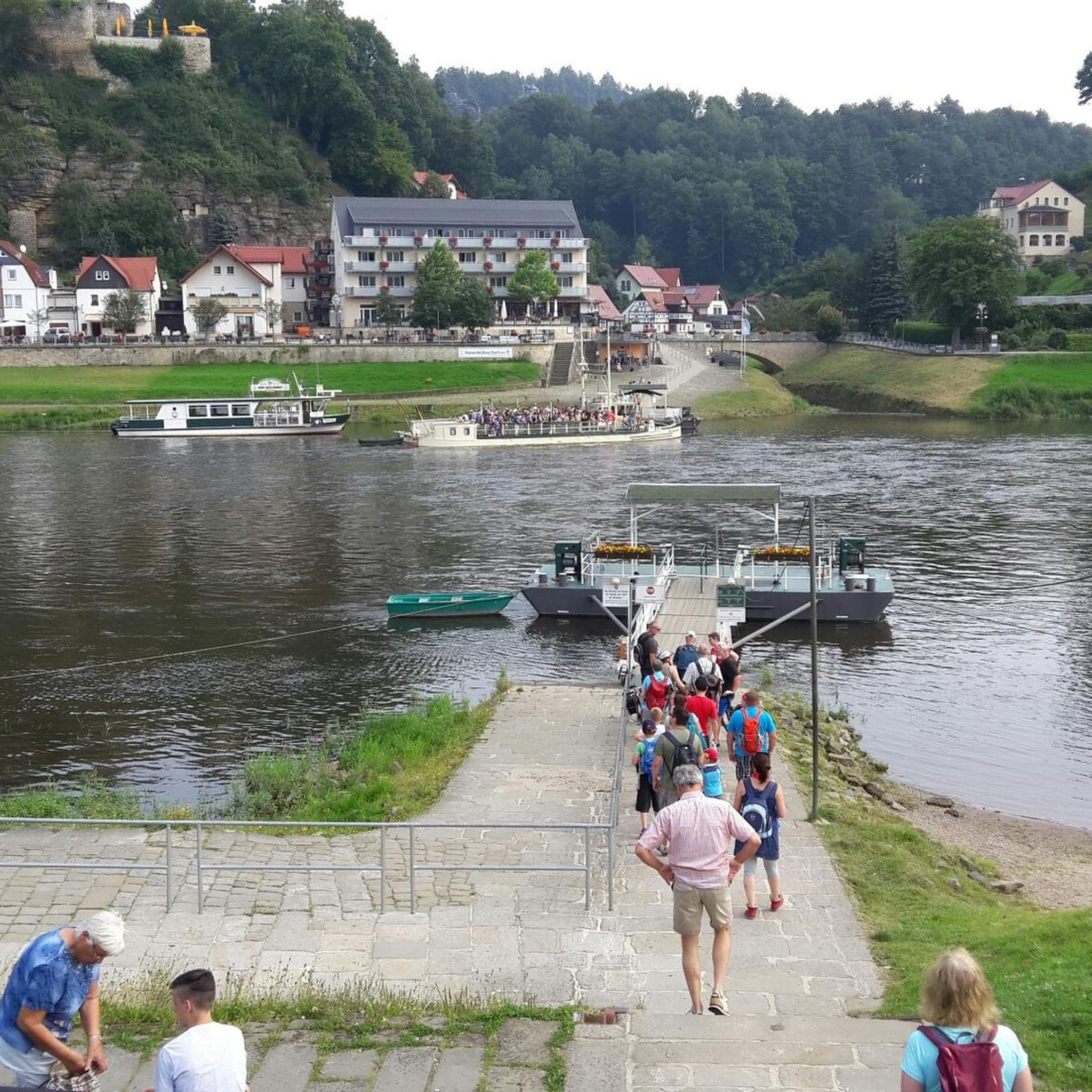
Beautiful little village directly on the Dieksee lake with a ferry landing for a short boat trip and a nice place to stop for refreshments.
2
0
Frequently Asked Questions
What is the general terrain like for hiking around Behler Lake?
The Behler Lake region features a landscape dominated by numerous lakes, including Behler Lake itself, Dieksee, and Großer Plöner See. Hiking trails often follow the lake shores and wind through surrounding woodlands. The terrain is generally gentle, with modest elevation changes, making it accessible for various hiking abilities.
How many hiking trails are available in the Behler Lake area?
There are over 680 hiking routes available around Behler Lake. This includes a wide range of options, from easy strolls to more challenging long-distance paths, ensuring there's something for every hiker.
What are the different difficulty levels of trails around Behler Lake?
The trails around Behler Lake cater to all skill levels. You'll find over 415 easy routes, 230 moderate trails, and 35 more difficult paths for experienced hikers looking for a greater challenge.
Are there any circular hiking routes around Behler Lake?
Yes, many routes around Behler Lake are circular, offering convenient starting and ending points. For example, the Behler Lake – View of Behler See loop from Suhrer See und Umgebung is a popular 3.5-mile (5.6 km) loop that showcases the lakeside scenery.
What kind of natural features or landmarks can I expect to see along the trails?
The trails often provide scenic views of the various lakes, such as Behler See, Dieksee, and Großer Plöner See. You might encounter viewpoints like the Bench with a view of Behlersee and Höftsee, or cross the Bridge at Behlersee. The area is rich in natural beauty, with woodlands and lake shore paths.
Are there any family-friendly hiking options in the Behler Lake region?
Given the generally gentle terrain and numerous easy routes, Behler Lake offers many family-friendly hiking options. Shorter, less strenuous paths along the lake shores are ideal for families with children. The Behler Lake – View of Behler See loop from Suhrer See und Umgebung is a good example of a moderate, shorter loop suitable for many families.
What do other hikers say about the trails around Behler Lake?
The hiking routes in Behler Lake are highly rated by the komoot community, with an average score of 4.6 stars from over 11,000 reviews. Hikers often praise the beautiful lake views, the peaceful woodlands, and the well-maintained paths that make for an enjoyable outdoor experience.
Are there any longer, more challenging routes for experienced hikers?
Yes, for those seeking a more extensive challenge, routes like the Dieksee Trail – Viewing platform at the Dieksee loop from Suhrer See und Umgebung offer a difficult 17.3-mile (27.8 km) path with more significant distances and elevation changes around the Dieksee.
Can I find facilities or campgrounds near the hiking trails?
Yes, there are facilities in the area. For instance, the Adlerhorst Campground is located near some of the trails, providing options for overnight stays or amenities during your hike.
Are there other types of paths besides hiking trails, such as cycle paths?
Yes, the region also features paths suitable for cycling. The Plön–Bad Malente–Eutin Cycle Path is an example of a dedicated route that can be enjoyed by cyclists, and sometimes shared with hikers depending on the specific section.
What is a popular moderate-difficulty route in the area?
A popular moderate route is the Dieksee – Viewing platform at the Dieksee loop from Timmdorf. This 7.5-mile (12.1 km) trail takes approximately 3 hours and 9 minutes to complete and offers beautiful views of the Dieksee.
Most popular routes around Behler Lake
Most popular attractions around Behler Lake

Get inspired with the komoot mobile app


Explore more
Browse the best Hikes in other regions.
