The best walks and hikes around Meerfelder Maar
4.6
(10927)
36,546
hikers
560
hikes
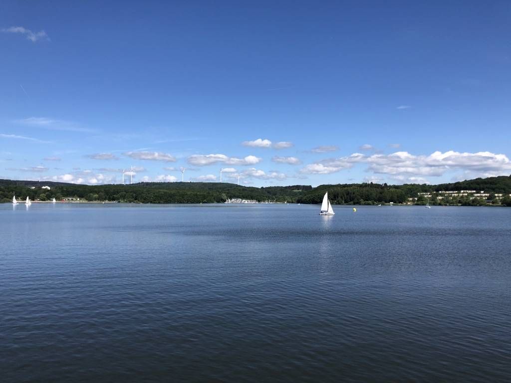
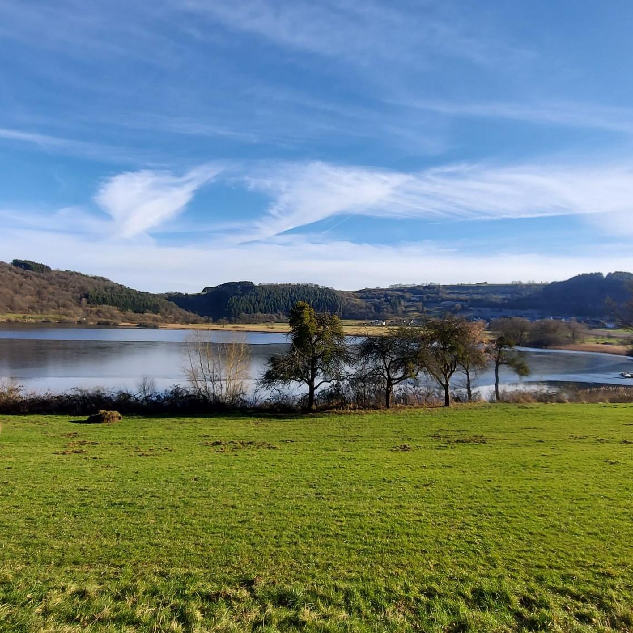
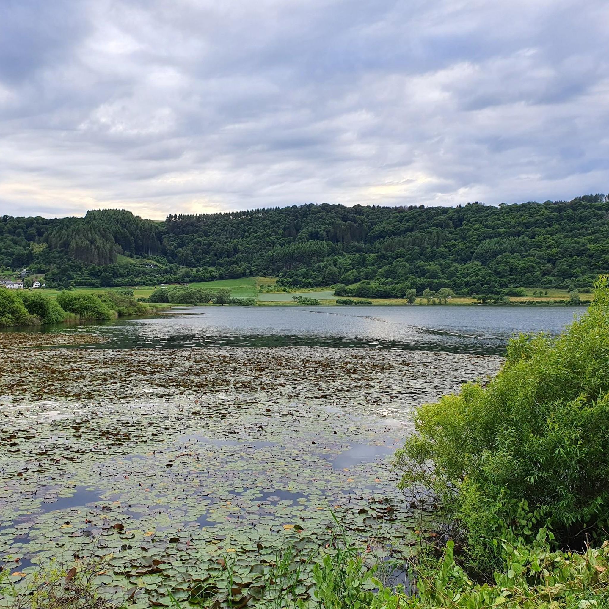
Hiking around Meerfelder Maar offers trails through Germany's Volcanic Eifel region, centered around the largest maar crater in the Eifel. The landscape features the Meerfelder Maar lake, surrounded by wetlands and a broad reed zone. The area is characterized by surrounding hills, lush forests, and volcanic soil, all part of the Geopark Vulkaneifel. Steep slopes of the maar's funnel are evident throughout the terrain.
Best hiking trails around Meerfelder Maar
- The most popular hiking route is View of the Meerfelder…
Last updated: July 11, 2026
4.6
(176)
899
hikers
3.43km
00:54
20m
20m
Easy hike. Great for any fitness level. Easily-accessible paths. Suitable for all skill levels.
4.6
(38)
126
hikers
10.3km
02:53
190m
200m
Moderate hike. Good fitness required. Easily-accessible paths. Suitable for all skill levels.

Sign up for free
4.6
(76)
246
hikers
13.0km
03:41
280m
280m
Moderate hike. Good fitness required. Easily-accessible paths. Suitable for all skill levels.
4.6
(11)
38
hikers
Hard hike. Very good fitness required. Easily-accessible paths. Suitable for all skill levels.
4.9
(7)
26
hikers
7.86km
02:16
180m
180m
Moderate hike. Good fitness required. Easily-accessible paths. Suitable for all skill levels.
Get access to more routes and recommendations from other explorers.
Sign up for free
Already have an account?
Our route recommendations are based on thousands of hikes, rides, and runs completed by other people on komoot.
Start today with a free account
Your next adventure awaits.
Login or Signup
Popular around Meerfelder Maar
Other adventures around Meerfelder Maar

Tips from the Community

The floor is lava! Well, big boulders with solidified lava.
0
0
What a relaxing place for a break at this beautiful lake. If you look around you can imagine yourself standing in the crater of a volcano.
0
0

Cowherd in front of Maar-Kulisse
0
0
Great spot for a break
0
0

Once around the maar, a nice little loop. Pleasant to walk.
0
0

Beautiful section of the path that leads us between lava rocks to the Windsborn crater lake.
2
0

Beautiful wild herb spiral
1
0

There is hardly a more beautiful place to enjoy the cool water of a maar👍
0
0
Frequently Asked Questions
How many hiking trails are available around Meerfelder Maar?
The Meerfelder Maar region offers a wide variety of hiking experiences, with over 500 routes available. These range from easy strolls around the lake to more challenging, longer treks through the volcanic landscape.
What kind of terrain can I expect when hiking in Meerfelder Maar?
You can expect diverse terrain shaped by the region's volcanic past. Trails often feature the steep slopes of the maar's funnel, volcanic soil, and paths through lush green forests. The area is part of the Geopark Vulkaneifel, so you'll encounter unique geological formations and picturesque lake shores.
Are there any easy circular routes suitable for a relaxed walk around the lake?
Yes, there are several easy circular routes. A popular option is the Meerfelder Maar – Meerfelder Maar loop from Meerfeld, which is about 3.4 km long and takes less than an hour. This trail leads directly through the maar lake's perimeter, offering a gentle experience.
What are the best viewpoints around Meerfelder Maar?
For stunning panoramic views, head to the Landesblick observation tower. Situated at 515 meters, it offers a magnificent 360-degree vista over the maar lake and the surrounding Volcanic Eifel landscape. Many trails, such as the View of the Meerfelder Maar – View of the Meerfelder Maar loop from Meerfeld, incorporate this viewpoint.
Can I bring my dog on the trails around Meerfelder Maar?
Generally, dogs are welcome on most hiking trails in the Meerfelder Maar area. However, it's always advisable to keep them on a leash, especially in nature protection areas, near wildlife, or when passing through agricultural land. Please be mindful of local regulations and other hikers.
Are there family-friendly hiking options in the Meerfelder Maar area?
Absolutely. The region offers many family-friendly trails. Easy circular routes around the Meerfelder Maar itself, like the 3.4 km loop, are perfect for families with children. These paths are generally well-maintained and offer beautiful scenery without significant elevation changes, allowing everyone to enjoy the unique landscape.
What is the best time of year to go hiking in Meerfelder Maar?
The best seasons for hiking around Meerfelder Maar are typically spring and autumn. During these times, the climate is mild, and the natural colors are particularly vibrant, enhancing the scenic beauty of the volcanic landscape and forests. Summer is also pleasant, though it can be warmer, and winter offers a different, often quieter, experience if trails are clear.
Are there longer or more challenging hikes for experienced hikers?
Yes, for more experienced hikers seeking a challenge, the region offers longer and more demanding routes. An example is the View of the Meerfelder Maar – View of the Meerfelder Maar loop from Meerfeld, which spans over 24 km with significant elevation changes, providing a full day's adventure through varied terrain.
What other natural attractions or landmarks can I explore nearby?
The Meerfelder Maar is part of the Geopark Vulkaneifel, rich in natural wonders. You can explore other maars and crater lakes, such as the Windsborn Crater Lake, or visit the Wallender Born "Brubbel" (a cold-water geyser). The Windsborn Crater summit – Meerfelder Maar loop from Meerfeld is a moderate trail that connects to the Windsborn Crater, offering varied volcanic scenery.
Is it possible to reach hiking trails around Meerfelder Maar using public transport?
While Meerfeld itself is a smaller village, some regional bus services connect it to larger towns in the Vulkaneifel. From these towns, you might find connections to trailheads. However, public transport options can be limited, especially on weekends or in more remote areas. It's recommended to check local bus schedules in advance if you plan to rely on public transport.
Where can I park my car when visiting Meerfelder Maar for a hike?
There are usually designated parking areas available in Meerfeld, particularly near the lake or the starting points of popular trails. Look for signs indicating 'Wanderparkplatz' (hiker's parking) or general public parking. These are often well-situated for accessing the circular routes around the maar.
What do other hikers say about the trails in Meerfelder Maar?
The trails in Meerfelder Maar are highly rated by the komoot community, with an average score of 4.6 stars from over 10,000 reviews. Hikers often praise the stunning views from the observation tower, the peaceful atmosphere around the lake, and the well-marked paths that showcase the unique volcanic landscape.
Most popular routes around Meerfelder Maar

Get inspired with the komoot mobile app


Explore more
Browse the best Hikes in other regions.
