The best road cycling routes around Hasper Talsperre
4.6
(507)
5,973
riders
148
rides
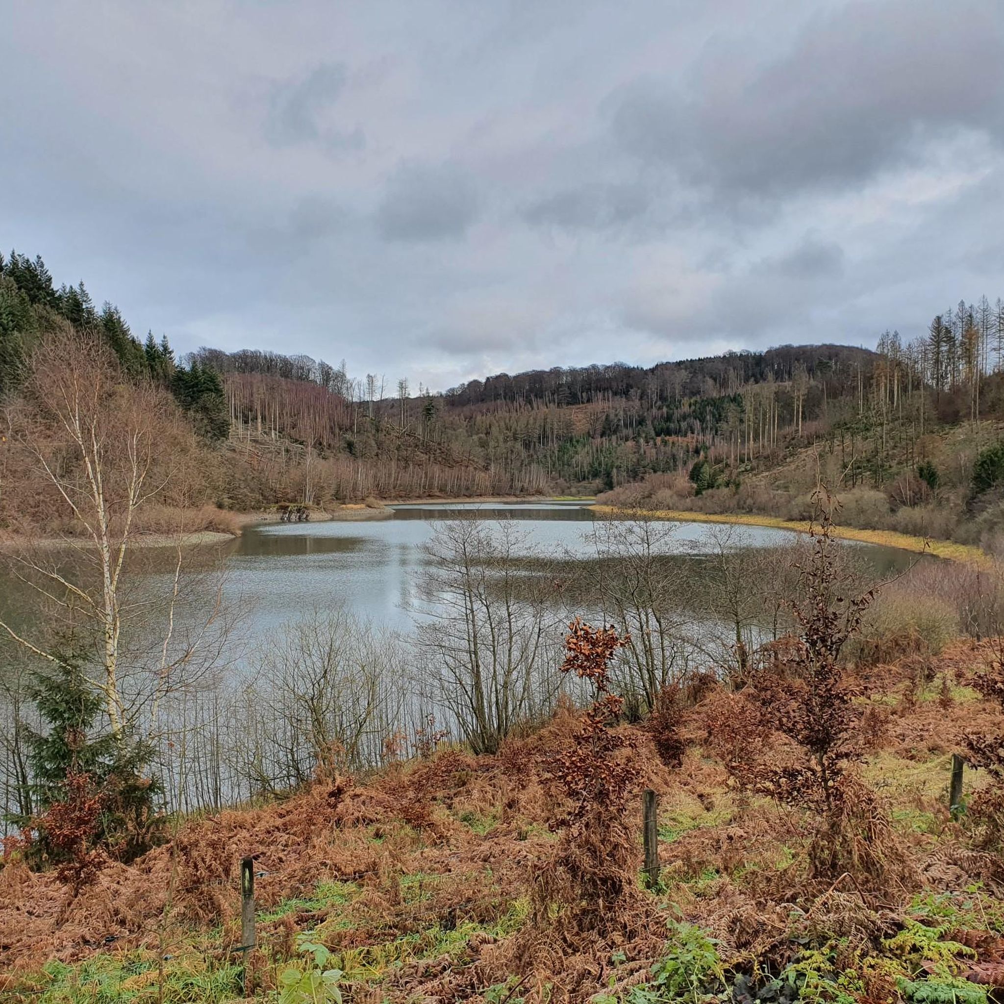
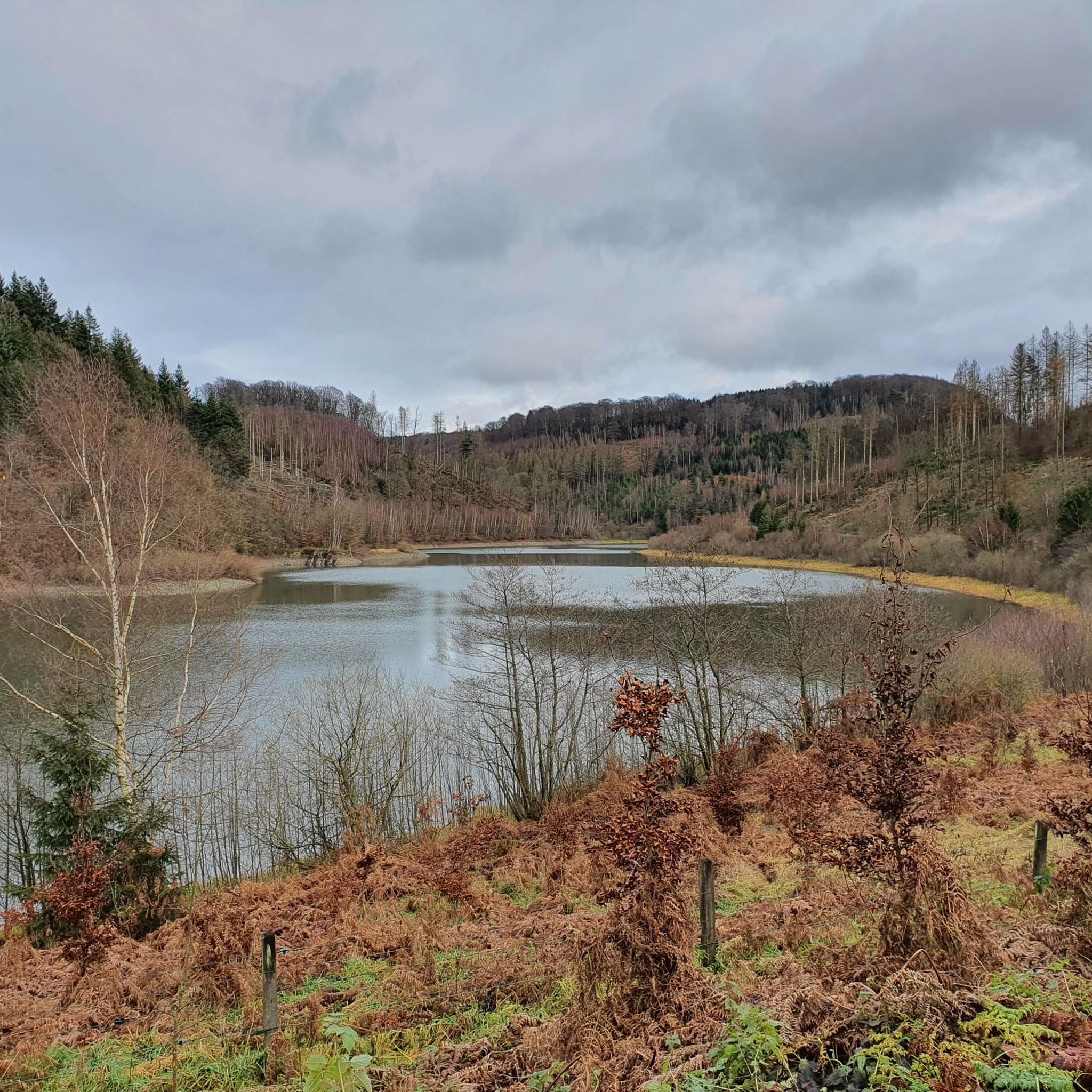
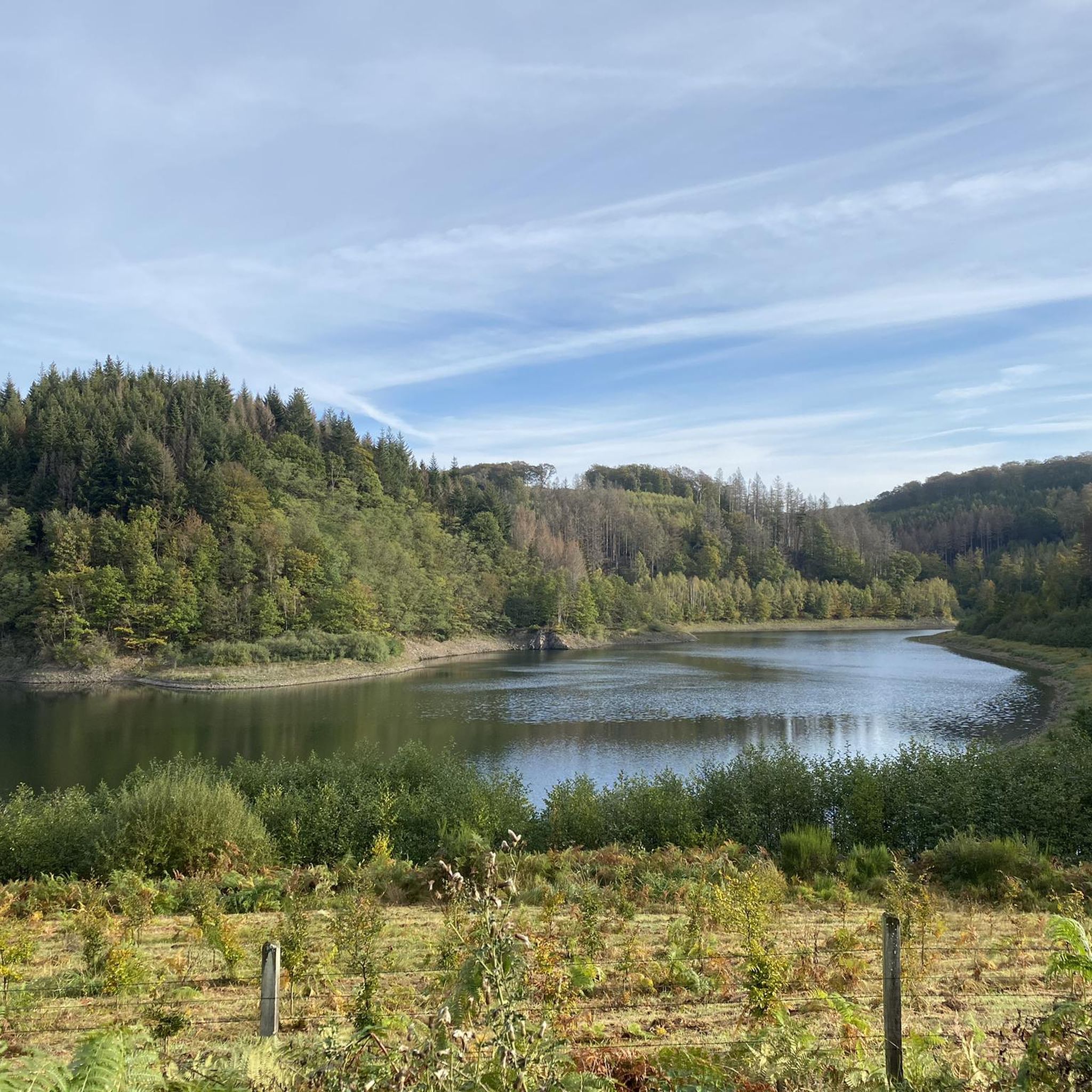
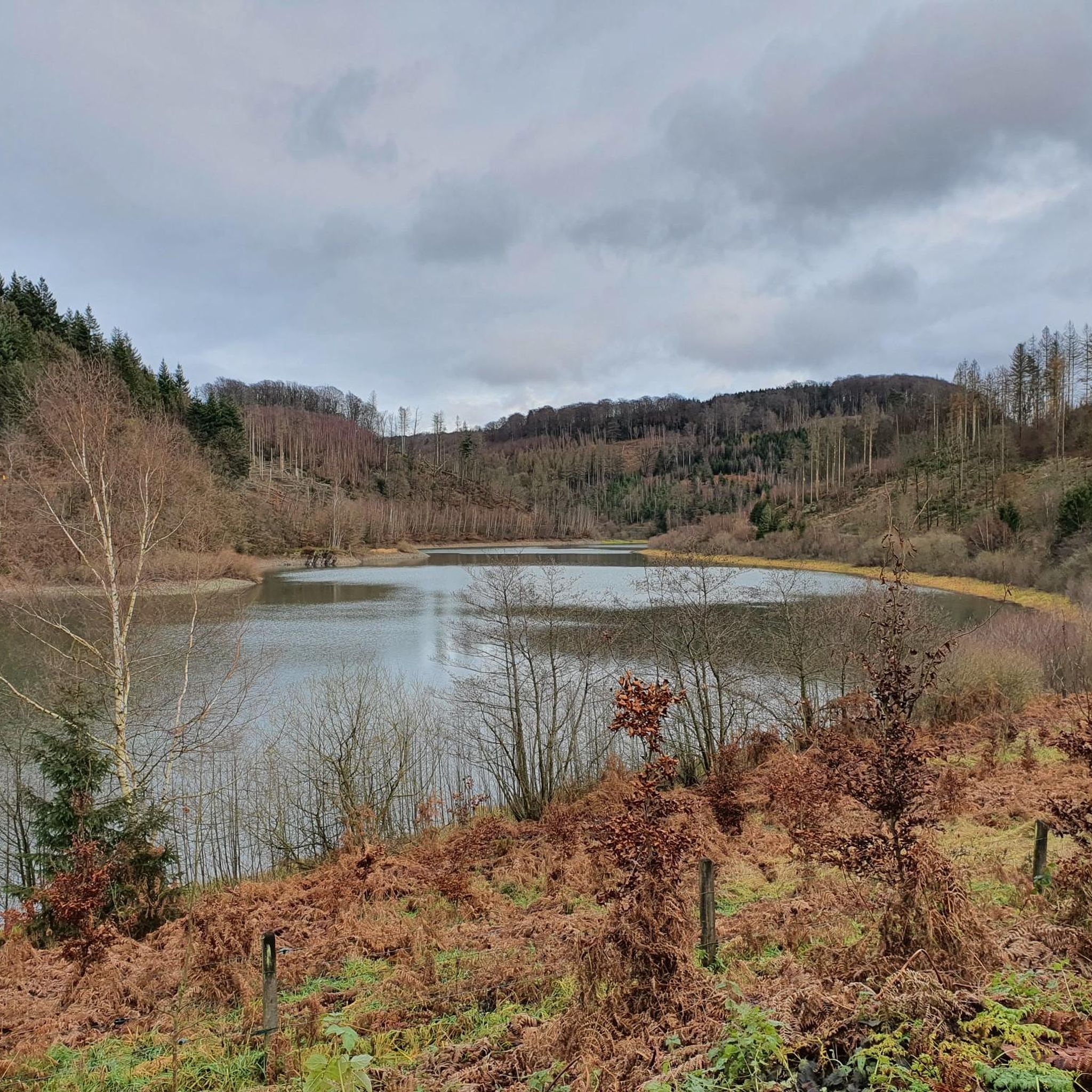
Road cycling routes around Hasper Talsperre are characterized by a landscape of rolling hills, dense woodlands, and the prominent Hasper Talsperre reservoir itself. The region offers varied terrain, including river valleys and climbs, making it suitable for different road cycling preferences. Cyclists can expect routes that navigate through forested areas and provide views of the surrounding countryside. The area's topography includes numerous hills, with elevations generally under 200 meters.
Best road cycling routes around Hasper Talsperre
- The most popular road…
Last updated: October 9, 2026
5.0
(1)
12
riders
13.3km
00:46
200m
200m
Moderate road ride. Great for any fitness level. Some segments of this route may be unpaved and difficult to ride.
4
riders
Moderate road ride. Good fitness required. Mostly well-paved surfaces and easy to ride.

13
riders
101km
04:49
1,180m
1,180m
Hard road ride. Very good fitness required. Some segments of this route may be unpaved and difficult to ride.
5.0
(1)
10
riders
Moderate road ride. Good fitness required. Some segments of this route may be unpaved and difficult to ride.
11
riders
33.6km
01:36
440m
440m
Moderate road ride. Good fitness required. Mostly well-paved surfaces and easy to ride.
Get access to more routes and recommendations from other explorers.
Already have an account?
Our route recommendations are based on thousands of hikes, rides, and runs completed by other people on komoot.
Start today with a free account
Your next adventure awaits.
Tips from the Community

The Haus Wengeberg is located on the Wengeberg. A good restaurant, which is presumably only open from Friday to Sunday. A summit cross was erected on this building in 2026. After a long back and forth, it is now installed and thus stands on the highest elevation of the Ruhr area. Yes, Breckerfeld geographically belongs to the Ruhr area. The Sauerland region begins behind the Wengeberg.
0
0

The Wengeberg is also the highest elevation in the Ruhr area (to which Breckerfeld belongs according to the Regionalverband Ruhr): https://de.wikipedia.org/wiki/Wengeberg
0
0

During rush hour, there is a lot of traffic here and some motorcycles on weekends. However, the asphalt is very good and the route is really picturesque with some good views.
0
0

The route is very nice to drive. Not very busy, especially in the evening.
0
0

very nice view and highest point in the Ennepe-Ruhr district
1
0

I really like the route by car. It's also nice by racing bike, but unfortunately there's not as little traffic as others say.
1
0
Restaurant and beautiful view
1
0
Breckerfeld City with fountain
1
0
Frequently Asked Questions
What kind of terrain can I expect when road cycling around Hasper Talsperre?
The region around Hasper Talsperre features a diverse landscape of rolling hills, dense woodlands, and river valleys. You'll encounter varied terrain, including climbs and descents, with elevations generally under 200 meters, offering a mix of challenges and scenic views.
Are there road cycling routes suitable for beginners or families in Hasper Talsperre?
Yes, Hasper Talsperre offers a good selection of easier routes. There are 28 easy road cycling tours available, which are generally flatter and shorter, making them suitable for beginners or family outings. These routes often follow river valleys or skirt the reservoir.
How many road cycling routes are available in total around Hasper Talsperre?
There are over 150 road cycling routes around Hasper Talsperre, catering to various skill levels. This includes 28 easy, 92 moderate, and 35 difficult routes, ensuring options for every cyclist.
What are some of the longer or more challenging road cycling routes in the area?
For those seeking a challenge, routes like the Uelfetal Valley – View of Bevertalsperre loop from Gevelsberg-Knapp offer significant distance and elevation gain, spanning over 100 km with more than 1200 meters of ascent. There are 35 difficult routes in total for advanced cyclists.
Are there any circular road cycling routes around Hasper Talsperre?
Many of the road cycling routes around Hasper Talsperre are designed as loops, allowing you to start and finish at the same point. For example, the Trail along the Ennepe – View of Bülbringen loop from Ennepetal is a popular circular option.
What kind of views or landmarks can I expect to see along the road cycling routes?
You can expect scenic views of the Hasper Talsperre reservoir itself, as well as glimpses of the wider Ruhr Region. Routes often pass through forested areas and along river valleys. Notable attractions include the Hasper Reservoir and the Hasper Bach Trail.
What do other road cyclists say about the routes in Hasper Talsperre?
The road cycling routes in Hasper Talsperre are highly regarded by the komoot community, with an average rating of 4.5 stars from over 400 reviews. Cyclists often praise the varied terrain, the beautiful reservoir views, and the well-maintained paths through woodlands and river valleys.
Is it possible to access the road cycling routes by public transport?
While specific public transport connections to trailheads vary, the region around Hasper Talsperre is generally accessible by local bus services from nearby towns like Ennepetal or Gevelsberg, which have train connections. It's advisable to check local transport schedules for the most convenient access points.
Where can I find parking for road cycling around Hasper Talsperre?
Parking is typically available at various points around the Hasper Talsperre, especially near popular starting points in towns like Ennepetal and Gevelsberg. Look for designated parking areas close to the reservoir or at the outskirts of these communities.
Are there any routes that feature notable climbs?
Yes, for those who enjoy climbing, routes like the Asker Bergstraße Climb (N.S.G. Gevelsberger Stadtwald) – View of Kettelbach loop from Ennepetal include significant ascents. This particular route leads through forested areas and features a prominent climb, offering a good workout.
What is the best time of year for road cycling in Hasper Talsperre?
The spring, summer, and early autumn months (April to October) generally offer the most pleasant conditions for road cycling around Hasper Talsperre. During these periods, the weather is typically milder, and the natural scenery is at its most vibrant. Always check local weather forecasts before heading out.
Most popular routes around Hasper Talsperre
Most popular attractions around Hasper Talsperre

Get inspired with the komoot mobile app


Explore more
Browse the best Road cycling routes in other regions.
