The best cycling routes around Redding
4.5
(7)
177
riders
23
rides
Touring cycling around Redding, California, is characterized by an extensive trail network that winds through diverse landscapes. The region features the Sacramento River, which is central to many routes, along with surrounding hills and forested areas. This varied terrain provides options for cyclists seeking both paved, accessible paths and more challenging routes with elevation changes.
Best touring cycling routes around Redding
- The most popular touring cycling route is Oak Savannah Arboretum – Sundial Bridge loop from Pilgrim Congregational Church,…
Last updated: August 22, 2026
3.5
(4)
30
riders
17.3km
01:03
70m
70m
Easy bike ride. Great for any fitness level. Mostly paved surfaces. Suitable for all skill levels.
5.0
(1)
24
riders
13.2km
00:47
80m
80m
Easy bike ride. Great for any fitness level. Mostly paved surfaces. Suitable for all skill levels.

Sign up for free
22
riders
33.1km
02:15
300m
300m
Moderate bike ride. Good fitness required. Mostly paved surfaces. Suitable for all skill levels.
7
riders
35.6km
02:14
320m
320m
Moderate bike ride. Good fitness required. Mostly paved surfaces. Suitable for all skill levels.
7
riders
25.3km
02:09
390m
390m
Moderate bike ride. Good fitness required. Mostly paved surfaces. Suitable for all skill levels.
Get access to more routes and recommendations from other explorers.
Sign up for free
Already have an account?
Our route recommendations are based on thousands of hikes, rides, and runs completed by other people on komoot.
Start today with a free account
Your next adventure awaits.
Login or Signup

Tips from the Community

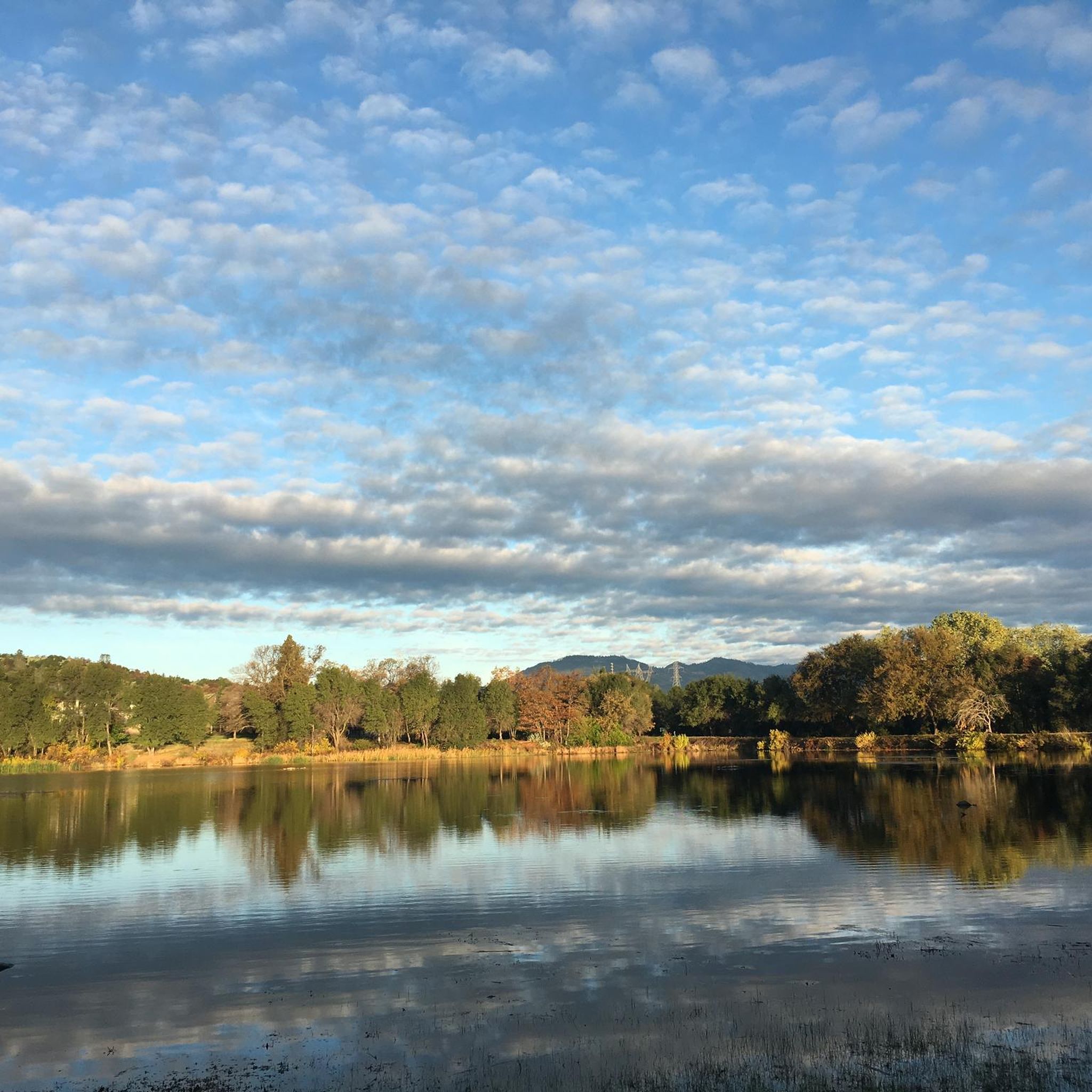
This man-made lake is situated in a 29-acre developed area, featuring a scenic trail that encircles it and offers stunning views of the water throughout. Recognized as a popular birding area, it's a great spot to stay on the lookout for various bird species. With its tranquil setting it is a nice place to take a break at to enjoy the view off the bike.
0
0

The Oak Savannah Arboretum is a breathtaking landscape boasting an impressive collection of native trees and plants, including tall valley oak and blue oaks. The Arboretum Loop Trail offers a scenic route around this stunning area, providing an immersive experience in nature and an ideal place to capture photos of the beauty of this serene oasis. Whether you're a cyclist, hiker, or birdwatcher, this is a perfect place for a peaceful escape from the hustle and bustle of the city.
0
0

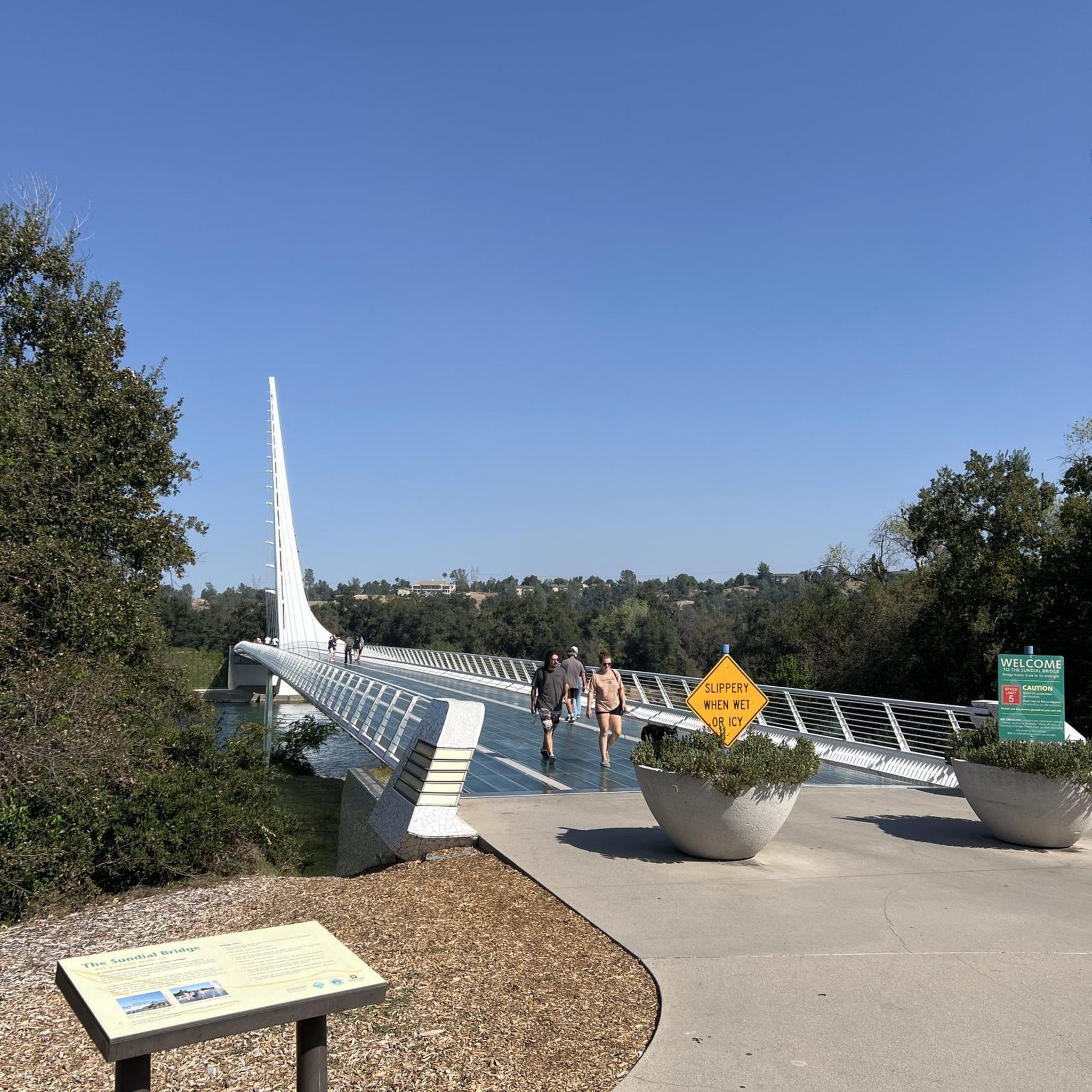
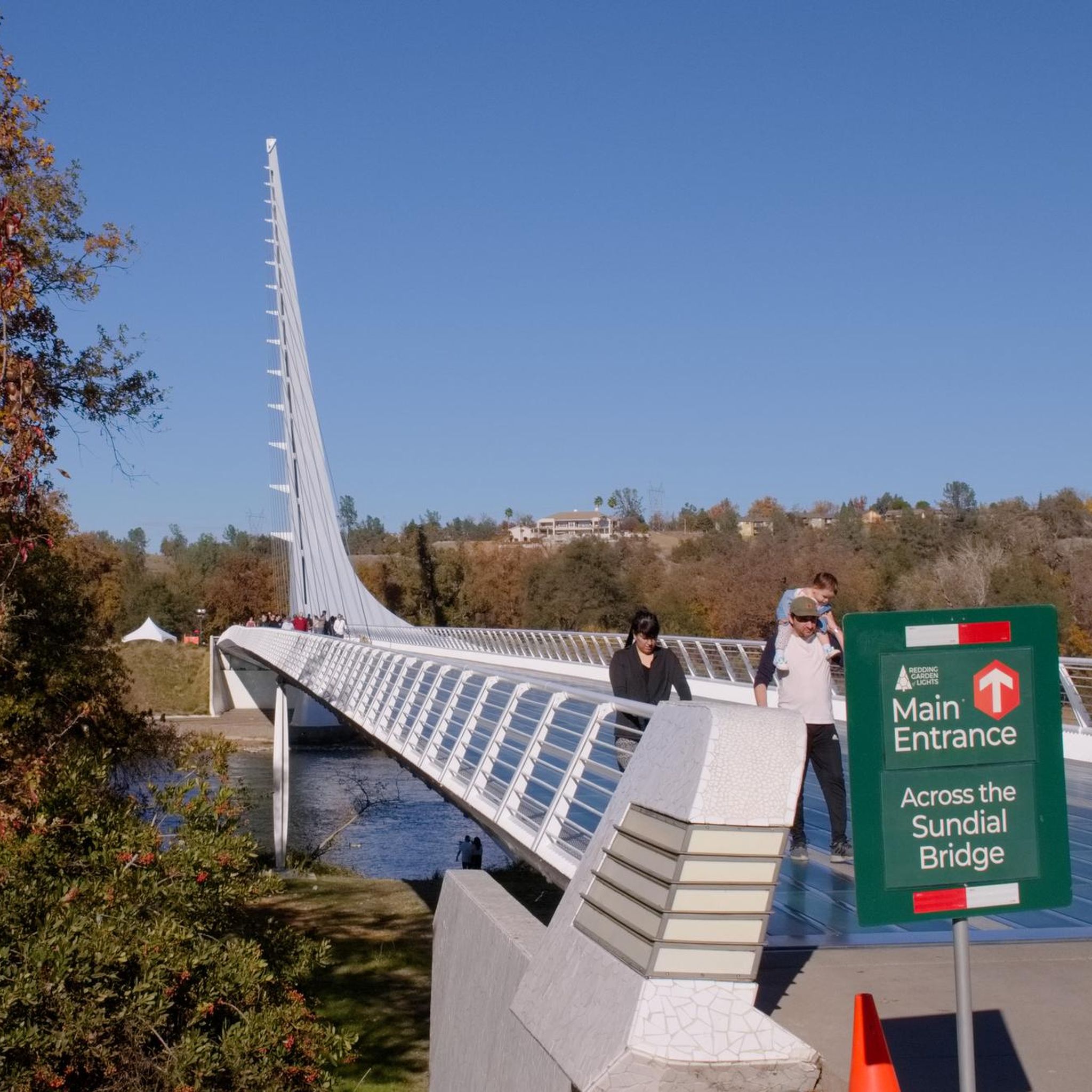
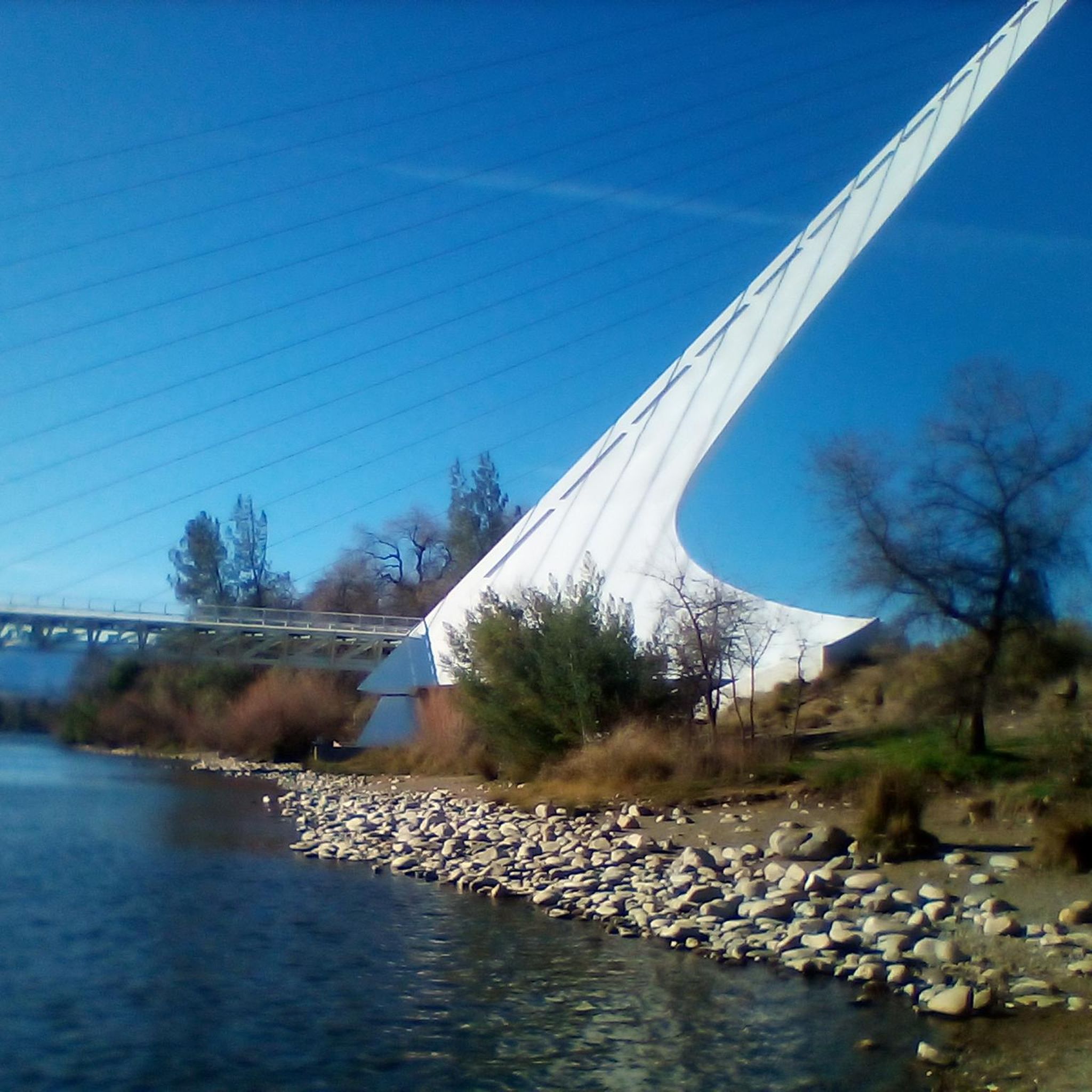
The Sacramento River National Recreation Trail is a paved path in the heart of Redding. This trail is known for crossing the famed Sundial Bridge and can be combined with the Sacramento River Rail Trail to form a 17.4-mile trail to Shasta Dam.
0
0
The Sacramento River National Recreation Trail is a paved path in the heart of Redding. This trail is known for crossing the famed Sundial Bridge and can be combined with the Sacramento River Rail Trail to form a 17.4-mile trail to Shasta Dam.
0
0
This man-made lake is situated in a 29-acre developed area, featuring a scenic trail that encircles it and offers stunning views of the water throughout. Recognized as a popular birding area, it's a great spot to stay on the lookout for various bird species.
2
0

The trail winds through oaks and birches, with occasional firs shading the path. Clearings reveal grassy fields, perfect for picnics and relaxation. Access points invite river activities, connecting visitors to nature's aquatic serenity.
0
0
These rugged, challenging trails beckon every adventurer. Offering breathtaking views and diverse terrain, each path ensures an unforgettable hiking experience, immersing you in nature's grandeur. Brace yourself for an awe-inspiring journey!
0
0
Frequently Asked Questions
How many touring cycling routes are available around Redding?
There are over 20 touring cycling routes recorded in komoot for the Redding area, offering a variety of experiences from easy rides to more challenging tours. These routes are highly rated by the komoot community, with an average score of 5.0 stars.
What are the main natural features I can expect to see while cycling in Redding?
Redding's touring cycling routes prominently feature the Sacramento River, with many paths winding alongside it. You'll also encounter views of Keswick Reservoir and Shasta Lake, and potentially Mount Shasta in the distance. The region is characterized by diverse landscapes, including riverine environments, gentle hills, and surrounding forests.
Are there any easy touring cycling routes suitable for beginners or families in Redding?
Yes, Redding offers several easy touring cycling routes. A great option is the Sundial Bridge – Lorenz Hotel loop from Pilgrim Congregational Church, which is 11.4 miles (18.4 km) long with minimal elevation gain, making it ideal for a relaxed ride. The Sacramento River Trail system, which this route utilizes, is largely paved and accessible.
What landmarks or points of interest can I visit along the cycling routes?
Many routes in Redding pass by significant landmarks. The iconic Sundial Bridge is a central feature and a popular starting point. You might also see the Redding Railroad Trestle Bridge, and enjoy views of Keswick Reservoir. The Historic Downtown Redding is also accessible on some routes, offering a glimpse into the city's past.
Are there any circular touring cycling routes in Redding?
Yes, many of Redding's touring cycling routes are designed as loops. For example, the popular Oak Savannah Arboretum – Sundial Bridge loop from Pilgrim Congregational Church is an 18.8-mile (30.3 km) circular route. Another option is the Sundial Bridge – Ribbon Bridge loop from Enterprise, which covers 25.4 miles (40.8 km) and explores varied terrain along the river.
What is the best time of year for touring cycling in Redding?
Redding boasts over 300 days of sunshine annually, making it suitable for touring cycling year-round. However, spring and fall offer particularly pleasant temperatures for longer rides. Summer can be hot, so early morning or late afternoon rides are recommended during those months.
Are there any touring cycling routes with significant elevation gain for a challenge?
While many routes along the Sacramento River are relatively flat, some touring cycling routes in Redding do offer more significant elevation changes. For instance, the Historic Downtown Redding – Ribbon Bridge loop from Redding includes nearly 1,273 feet (388 meters) of ascent, providing a moderate challenge for touring cyclists.
Can I find routes that offer views of Whiskeytown Lake?
While many touring cycling routes focus on the Sacramento River, the broader Redding area, including Whiskeytown National Recreation Area, offers opportunities for scenic views. You can find viewpoints like the Whiskeytown Lake Overlook, which can be incorporated into longer rides or visited separately. Note that some trails directly around Whiskeytown Lake are more suited for mountain biking.
Where can I park my car when starting a touring cycling route in Redding?
Many popular starting points for touring cycling routes, such as those near the Sundial Bridge or in Historic Downtown Redding, offer accessible parking. Specific parking availability can vary by trailhead, but generally, you'll find options near major access points to the Sacramento River Trail system.
Are there any long-distance touring cycling options in Redding?
Redding's extensive trail network allows for longer touring cycling experiences. The Sacramento River Trail system itself offers a main paved path stretching 17.4 miles, connecting the Sundial Bridge to Shasta Dam. Combining various loops and sections can create rides of nearly 40 miles round trip, offering a substantial distance for touring cyclists.
What kind of surfaces can I expect on touring cycling routes in Redding?
The touring cycling routes in Redding offer a mix of surfaces. The core of the Sacramento River Trail system is paved, providing a smooth and accessible experience. However, the broader network includes gravel paths and some sections that might transition to dirt, especially as you explore areas further from the main river corridor. This variety caters to different touring bicycle types.
Is public transport available to access cycling routes in Redding?
Redding has a local public transportation system, Redding Area Bus Authority (RABA), which may offer some access to areas near cycling routes. However, for direct trailhead access, personal vehicles are often more convenient. The city has also introduced an e-bike share system, which can be a convenient way to explore shorter distances from central locations.
Most popular routes around Redding
Most popular attractions around Redding

Get inspired with the komoot mobile app


Explore more
Browse the best Cycling routes in other regions.
