The best road cycling routes around Glendale
4.7
(205)
6,633
riders
17
rides
If you've ever tried to plan road cycling around Glendale, you know how overwhelming the options can be. With so many routes crisscrossing the area, it's tough to tell which ones are genuinely worth your time and effort, and which are just filler. We get it – you want the highlights, not the guesswork.
That's where komoot comes in. Our community has mapped, ridden, and reviewed countless routes, giving us a unique insight into what makes a great ride here.…
Last updated: June 8, 2026
4.9
(10)
213
riders
35.2km
01:53
510m
510m
Moderate road ride. Good fitness required. Mostly well-paved surfaces and easy to ride.
3.0
(2)
99
riders
49.5km
02:26
650m
650m
Moderate road ride. Good fitness required. Mostly well-paved surfaces and easy to ride.

5.0
(2)
73
riders
46.4km
02:41
630m
630m
Moderate road ride. Good fitness required. Some segments of this route may be unpaved and difficult to ride.
4.9
(35)
133
riders
19.5km
00:54
60m
60m
Easy road ride. Great for any fitness level. Mostly well-paved surfaces and easy to ride.
15
riders
55.4km
02:40
690m
690m
Moderate road ride. Good fitness required. Mostly well-paved surfaces and easy to ride.
Get access to more routes and recommendations from other explorers.
Already have an account?
Our route recommendations are based on thousands of hikes, rides, and runs completed by other people on komoot.
Start today with a free account
Your next adventure awaits.

Other adventures around Glendale

Tips from the Community

This trail currently runs about 38 miles in several disconnected segments; there are plans to eventually unify it in a continuous, 50-mile swath. There are stretches of dirt mixed in with the paved trail, so you're best off with a touring bike instead of a road bike.
0
0

The Baum Bicycle Bridge is named in honor of Alex Baum, who was a tireless advocate for cycling infrastructure around Los Angeles. LA cyclists owe him a debt of gratitude for much of the gains that have been made in the city.
1
0

Brookside Park is Pasadena's largest fully maintained park at 61.1 acres. It sits south of Rose Bowl Stadium with tons of parking off Arroyo Boulevard. The park features a lighted baseball diamond, two softball diamonds, and a large, lighted, multi-purpose field for soccer and flag football. There is also a speaker's platform with permanent seating, numerous picnic tables, barbecue pits, a play area, restrooms, and drinking fountains.
0
0
North Atwater Bridge, also known as La Kretz Bridge or La Kretz Crossing, is a 325-foot-long cable-stayed pedestrian bridge stretching over the Los Angeles River. It connects Griffith Park to Atwater Village, just south of North Atwater Park. Originally designed to provide horseback riders from Atwater Village safe access to Griffith Park’s extensive riding trails, the bridge eliminates the need to cross Los Feliz Boulevard or the often slippery concrete-bottomed L.A. River.
0
0

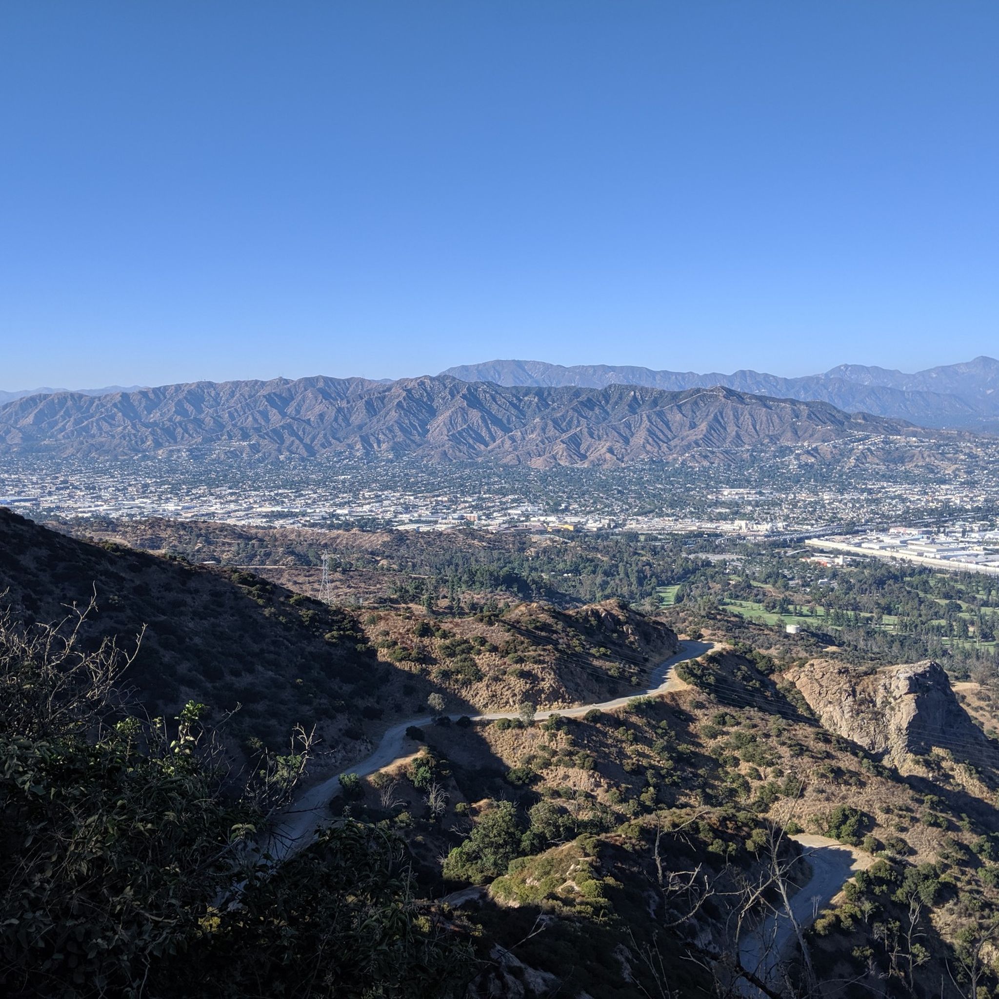
La Tuna Canyon Road is a fairly quiet road that winds through the green hills behind Burbank. There are some ups and downs, but you will be treated to some nice views as you get higher.
0
0
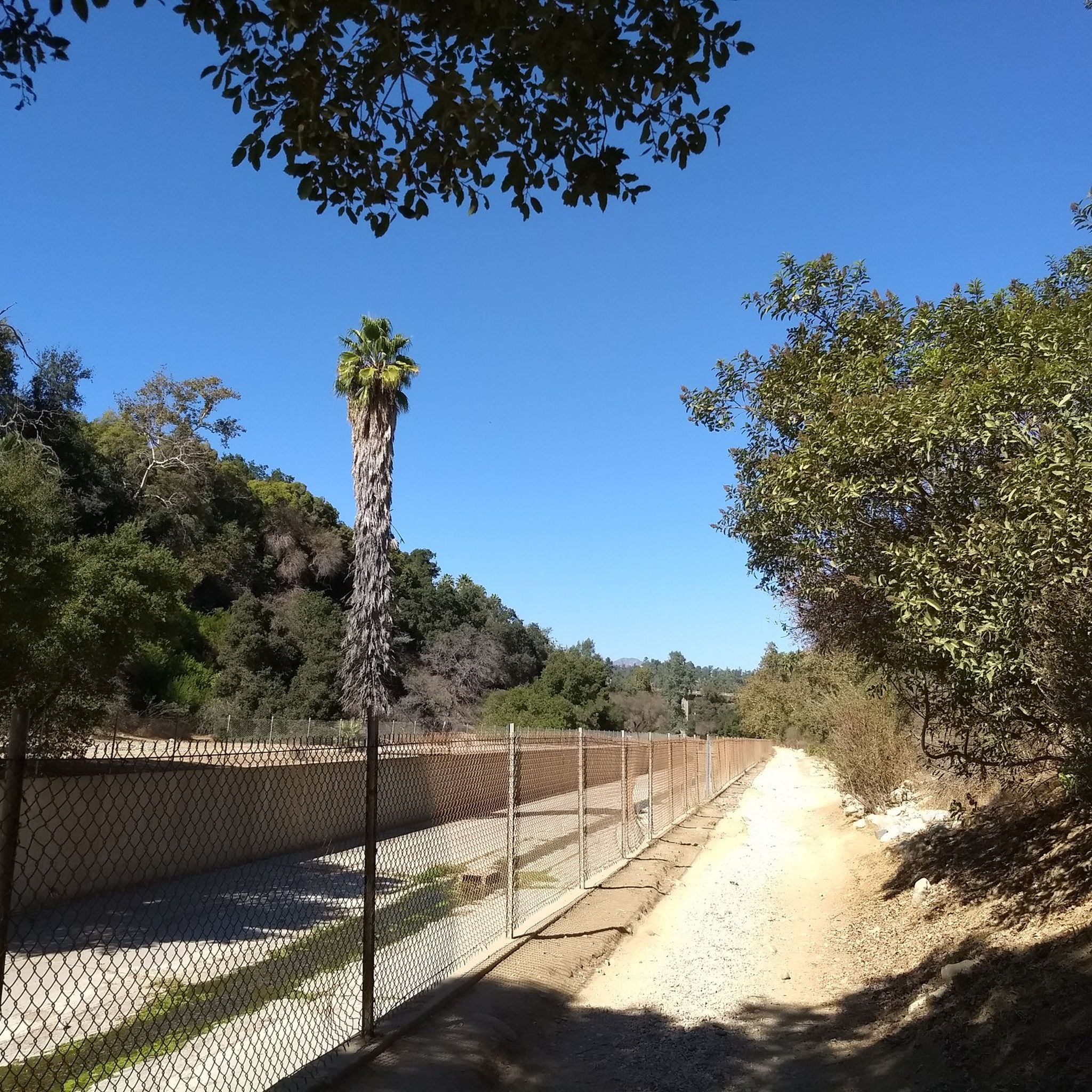
The Los Angeles River Trail, also known as the Los Angeles River Bike Path, stretches 38.28 miles from Owensmouth Avenue in Canoga Park to 401 Golden Shore in Long Beach. The trail features a mix of asphalt, concrete, and dirt surfaces. Open in several disconnected segments along the Los Angeles River, it is open to biking, inline skating, and walking, offering a scenic trail through the urbanized landscape of Los Angeles.
1
0
The Alex Baum Bicycle Bridge, a 680-foot span, crosses the Los Angeles River at Los Feliz Boulevard. Local officials and cyclists celebrated its dedication, honoring Alexandre Baum, who founded and chaired the Los Angeles Bicycle Advisory Committee.
0
0

Bright red bridge for bikes and pedestrians to get across to the Taylor train yard.
0
0
Frequently Asked Questions
How many road cycling routes are available around Glendale?
Glendale offers a wide selection of road cycling routes, with over 25 tours available. These range from easy rides along river paths to more challenging ascents into the mountains.
What do other road cyclists enjoy about the routes in Glendale?
The road cycling routes around Glendale are highly rated by the komoot community, with an average score of 4.4 stars from over 80 reviews. Cyclists often praise the diverse terrain, from urban parklands and river paths to routes offering scenic views of the Verdugo and San Gabriel Mountains.
Are there road cycling routes suitable for beginners in Glendale?
Yes, Glendale has several easy road cycling routes perfect for beginners. For instance, the Red Car Bridge – Baum Bicycle Bridge loop from DreamWorks Studios is an easy 13.7-mile path featuring river views and notable bridges.
What kind of challenges can advanced road cyclists expect in Glendale?
Advanced road cyclists can find routes with significant elevation changes and longer distances. The region's proximity to the Verdugo and San Gabriel Mountains provides challenging climbs. Routes like the Mount Hollywood Drive – Griffith Observatory loop from Glendale offer substantial ascents and cover over 30 miles.
Are there any loop road cycling routes in Glendale?
Many road cycling routes in Glendale are designed as loops, offering a convenient way to explore the area. Examples include the popular Brookside Park loop from La Cañada Flintridge, a moderate 21.8-mile trail, and the Baum Bicycle Bridge – Los Angeles River Bike Path loop from Glendale, which is nearly 31 miles long.
What natural landmarks can I see while road cycling around Glendale?
While road cycling around Glendale, you can encounter several natural landmarks. Routes often provide views of the majestic San Gabriel Mountains and the Verdugo Mountains. Specific highlights include the Back of the Hollywood Sign on Mount Lee, the Wisdom Tree on Burbank Peak, and various overlooks like Clouds Rest Overlook - Runyon Canyon Park.
Are there any waterfalls accessible from road cycling routes in Glendale?
Yes, some road cycling routes in the Glendale area can bring you close to natural attractions like waterfalls. For example, the Eaton Canyon Waterfall is a notable natural feature in the canyons around Glendale that can be accessed or viewed from certain cycling routes or nearby trails.
Are there family-friendly road cycling routes in Glendale?
Glendale offers several linear parks and bike paths that are excellent for family-friendly road cycling. The Glendale Narrows/Elysian Valley Bike Path, for instance, provides a relatively flat and scenic experience alongside sections of the Los Angeles River, suitable for various ages and skill levels.
What are the best times of year for road cycling in Glendale?
Glendale, California, generally offers pleasant road cycling conditions for much of the year. Spring and fall provide mild temperatures, ideal for longer rides. Even winter can be enjoyable with cooler, clear days. Summers can be hot, especially in the afternoon, so early morning rides are recommended during those months.
Is public transport available to access road cycling routes in Glendale?
Glendale has public transport options, including bus services, that can help cyclists access various parts of the city and connect to different cycling routes. Many routes are also accessible from urban centers, making it convenient to start your ride without a car.
Where can I find parking for road cycling routes in Glendale?
Parking for road cycling routes in Glendale is often available near parks, trailheads, and urban centers. For routes accessing areas like Griffith Park or along the Los Angeles River, designated parking lots or street parking can usually be found. It's advisable to check specific starting points for the best parking options.
Are there cafes or places to stop for refreshments along the routes?
Given Glendale's urban setting and proximity to areas like Pasadena and Burbank, many road cycling routes pass through or near neighborhoods with cafes, restaurants, and shops where you can stop for refreshments. Routes along the Los Angeles River Bike Path also have access points to nearby amenities.
Most popular routes around Glendale
Most popular attractions around Glendale

Get inspired with the komoot mobile app


Explore more
Browse the best Road cycling routes in other regions.
