The best cycling routes around Glendale
4.3
(29)
550
riders
33
rides
Touring cycling around Glendale, California, offers diverse experiences across varied terrain. The region is characterized by the majestic San Gabriel Mountains and the Verdugo Mountains, providing routes with significant elevation changes. Cyclists can also explore paths along the Los Angeles River, which features greener sections and abundant birdlife. This combination of mountain and river landscapes creates a wide array of cycling opportunities.
Best touring cycling routes around Glendale
- The most popular touring cycling route is Red Car Bridge – LA River Bike Path loop from Glendale, a 34.9 miles (56.2 km) trail that takes 3 hours 28 minutes to complete. This route follows the Los Angeles River, offering views of the San Gabriel Mountains.
- Another top favourite among local touring cyclists is Griffith Park Drive – Mount Hollywood Drive loop from Glendale City Center, a difficult 23.4 miles (37.7 km) path. This route explores Griffith Park, a large urban park with varied terrain.
- Local touring cyclists also love the Cherry Canyon Park – Cherry Canyon Park loop from Descanso Gardens, a 11.6 miles (18.7 km) trail leading through Cherry Canyon Park, often completed in about 2 hours 2 minutes.
- Touring cycling around Glendale is defined by the San Gabriel Mountains, Verdugo Mountains, and the Los Angeles River. The network offers options for different ability levels, from urban paths to challenging mountain ascents.
- The routes in Glendale are highly rated by the komoot community with an average score of 4.8 stars from over 13 reviews. More than 400 touring cyclists have used komoot to explore Glendale's varied terrain.
Last updated: August 19, 2026
4.5
(17)
199
riders
40.3km
02:40
530m
530m
Hard bike ride. Very good fitness required. Mostly paved surfaces. Suitable for all skill levels.
3.0
(1)
33
riders
56.2km
03:28
520m
520m
Hard bike ride. Very good fitness required. Mostly paved surfaces. Suitable for all skill levels.

Sign up for free
4.8
(4)
54
riders
26.8km
01:40
210m
210m
Moderate bike ride. Good fitness required. Mostly paved surfaces. Suitable for all skill levels.
25
riders
47.5km
02:54
290m
290m
Moderate bike ride. Good fitness required. Mostly paved surfaces. Suitable for all skill levels.
24
riders
18.7km
02:03
560m
560m
Hard bike ride. Very good fitness required. Mostly paved surfaces. Suitable for all skill levels.
Get access to more routes and recommendations from other explorers.
Sign up for free
Already have an account?
Our route recommendations are based on thousands of hikes, rides, and runs completed by other people on komoot.
Start today with a free account
Your next adventure awaits.
Login or Signup

Other adventures around Glendale

Tips from the Community


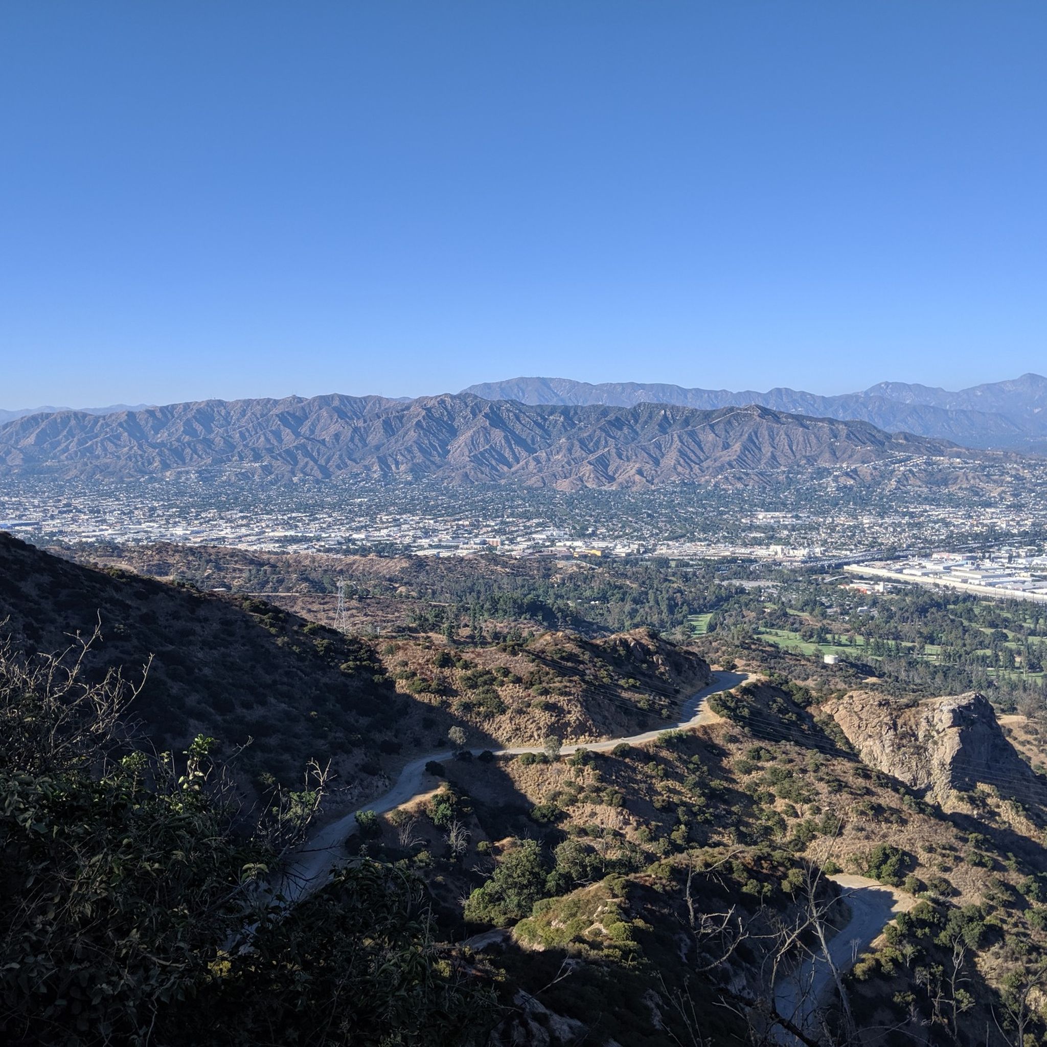
Cherry Canyon Park is an area of 130 acres in the San Rafael Hills, close to La Cañada Flintridge. It features multiple trails and fire roads for horses, mountain bikers and hikers, but also various single tracks that are only for hiking. From the trails, you will get a great overview over the area.
0
0

The Sunnynook Pedestrian Bridge, also known as the Atwater Village Love Lock Bridge, is one of the older pedestrian bridges in the city. It's known locally as a spot to leave a lock proclaiming your everlasting love.
0
0

Great view of Downtown LA. The climb up into the hills to reach the viewpoint is challenging, but it is worth the effort for the excellent vistas.
0
0

The Grotto is a deep canyon with steep walls shaded by large trees. Depending on the season there is also a waterfall with a small pool. There is a picnic area with tables and benches in the Grotto, making it a great spot to relax, cool off, and enjoy the scenery.
0
0
Griffith Park Drive is a great climb up into the hills behind Glendale. The road is smooth paved and well-graded, so you should be able to swiftly get to the top.
0
0

Brookside Park is Pasadena's largest fully maintained park at 61.1 acres. It sits south of Rose Bowl Stadium with tons of parking off Arroyo Boulevard. The park features a lighted baseball diamond, two softball diamonds, and a large, lighted, multi-purpose field for soccer and flag football. There is also a speaker's platform with permanent seating, numerous picnic tables, barbecue pits, a play area, restrooms, and drinking fountains.
0
0
North Atwater Bridge, also known as La Kretz Bridge or La Kretz Crossing, is a 325-foot-long cable-stayed pedestrian bridge stretching over the Los Angeles River. It connects Griffith Park to Atwater Village, just south of North Atwater Park. Originally designed to provide horseback riders from Atwater Village safe access to Griffith Park’s extensive riding trails, the bridge eliminates the need to cross Los Feliz Boulevard or the often slippery concrete-bottomed L.A. River.
0
0
Frequently Asked Questions
How many touring cycling routes are available around Glendale?
There are over 25 touring cycling routes around Glendale, offering a variety of experiences for cyclists. These routes are highly rated by the komoot community, with an average score of 4.0 stars.
What kind of landscapes can I expect on touring cycling routes in Glendale?
Touring cycling in Glendale, California, offers diverse landscapes. You can expect routes that wind through the majestic San Gabriel Mountains and the Verdugo Mountains, providing varied terrain and significant elevation changes. Many paths also follow the Los Angeles River, featuring greener sections and abundant birdlife.
Are there any easy touring cycling routes suitable for beginners in Glendale?
Yes, Glendale offers a few easier options for touring cyclists. While many routes involve significant elevation, there are 2 routes classified as easy. These typically feature less challenging terrain, making them suitable for those new to touring cycling or looking for a more relaxed ride.
What are some notable landmarks or viewpoints I can see along touring cycling routes in Glendale?
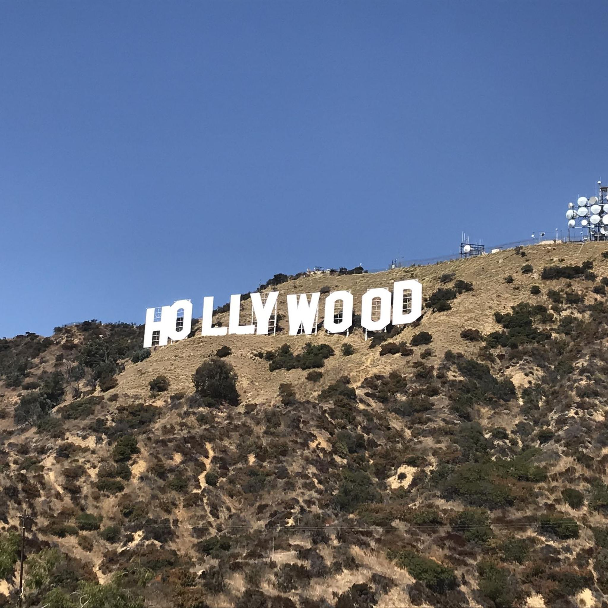
Many touring cycling routes in Glendale offer access to impressive landmarks and viewpoints. You might encounter the Back of the Hollywood Sign on Mount Lee, the Wisdom Tree on Burbank Peak, or the Griffith Observatory. These offer stunning views of the city and surrounding natural areas.
Are there any circular touring cycling routes in Glendale?
Yes, several touring cycling routes in Glendale are designed as loops. For example, the Red Car Bridge – LA River Bike Path loop from Glendale is a popular 34.9-mile route. Another option is the Cherry Canyon Park – Cherry Canyon Park loop from Descanso Gardens, which is about 11.6 miles long.
Which touring cycling routes offer views of the San Gabriel Mountains?
The San Gabriel Mountains are a prominent feature in the Glendale area. The Red Car Bridge – LA River Bike Path loop from Glendale follows the Los Angeles River and provides excellent views of the majestic San Gabriel Mountains.
Are there touring cycling routes that go through Griffith Park?
Yes, Griffith Park is easily accessible from Glendale and offers numerous cycling paths. A challenging option is the Griffith Park Drive – Mount Hollywood Drive loop from Glendale City Center, a 23.4-mile route that explores the varied terrain of this large urban park.
What is the general difficulty level of touring cycling routes in Glendale?
Glendale's touring cycling routes cater to various skill levels. Out of the total routes, 17 are classified as difficult, 9 as moderate, and 2 as easy. This means there are plenty of options for experienced cyclists seeking a challenge, as well as some gentler rides.
Are there any touring cycling routes that explore the Verdugo Mountains?
Yes, the Verdugo Mountains are a key feature for cycling in Glendale. Routes like the Verdugo Peak – La Tuna Canyon Road loop from Tuna Canyon Detention Station offer access to trails in these mountains, providing breathtaking views of the San Fernando Valley.
What kind of natural features can I expect to see along the routes?
Beyond the mountains, you'll find diverse natural features. The Los Angeles River sections are known for their greener areas, islands with whitewater rapids, and abundant birdlife, making them great for birdwatching. The region's varied terrain also means encountering different flora and scenic vistas.
Are there any touring cycling routes that start near La Cañada Flintridge?
Yes, you can find touring cycling routes that begin near La Cañada Flintridge. An example is the Verdugo Peak – La Tuna Canyon Road loop from La Cañada Flintridge, which is a difficult 26.3-mile route with significant elevation changes.
Most popular routes around Glendale
Most popular attractions around Glendale

Get inspired with the komoot mobile app


Explore more
Browse the best Cycling routes in other regions.
