The 15 Most Amazing Peaks around Corte Madera
Best mountain peaks around Corte Madera are found in the surrounding hills and nearby Marin County, offering elevated natural areas for exploration. The region provides access to prominent peaks with diverse landscapes and extensive trail networks. These locations feature panoramic views of the San Francisco Bay Area and beyond. The area is characterized by a mix of redwood forests, oak woodlands, and open grasslands, providing varied hiking opportunities.
Best mountain peaks around Corte Madera
- The most popular mountain peaks is Cardiac Hill (Dipsea Trail, Mount Tamalpais State Park), a summit that is part of the Dipsea Trail, featuring a wooden stairway and lush forest sections. This hill is known for its ascent and the more gradual trail section that winds around it.
- Another must-see spot is Mount Caroline Livermore summit, a summit with sweeping bay and San Francisco skyline views. Visitors can expect a trail leading to a 791 feet (241 m) elevation, named for a conservationist.
- Visitors also love Bare Knoll, a summit that offers views stretching from Stinson Beach into the Gulf of the Farallones. This relatively small peak provides distinct panoramic vistas.
- Corte Madera is known for summits, viewpoints, and natural monuments. The variety of mountain peaks to see and explore includes challenging trails, intermediate routes, and areas with significant natural features.
- The mountain peaks around Corte Madera are appreciated by the komoot community, with 33 upvotes and 8 photos shared across the highlights.
Last updated: June 24, 2026
Mount Tamalpais — East Peak
Highlight • Summit
Tip by

Horse Hill Bike Path
Highlight (Segment) • Cycleway
Tip by
Sign up now to discover places like this
Get recommendations on the best single tracks, peaks, & plenty of other exciting outdoor places.
Sign up for free
Cardiac Hill (Dipsea Trail, Mount Tamalpais State Park)
Highlight • Summit
Tip by
Mount Caroline Livermore summit
Highlight • Summit
Tip by
Bare Knoll
Highlight • Summit
Tip by

Sign up for free to discover even more peaks around Corte Madera.
Sign up for free
Already have an account?
Start today with a free account
Your next adventure awaits.
Login or Signup
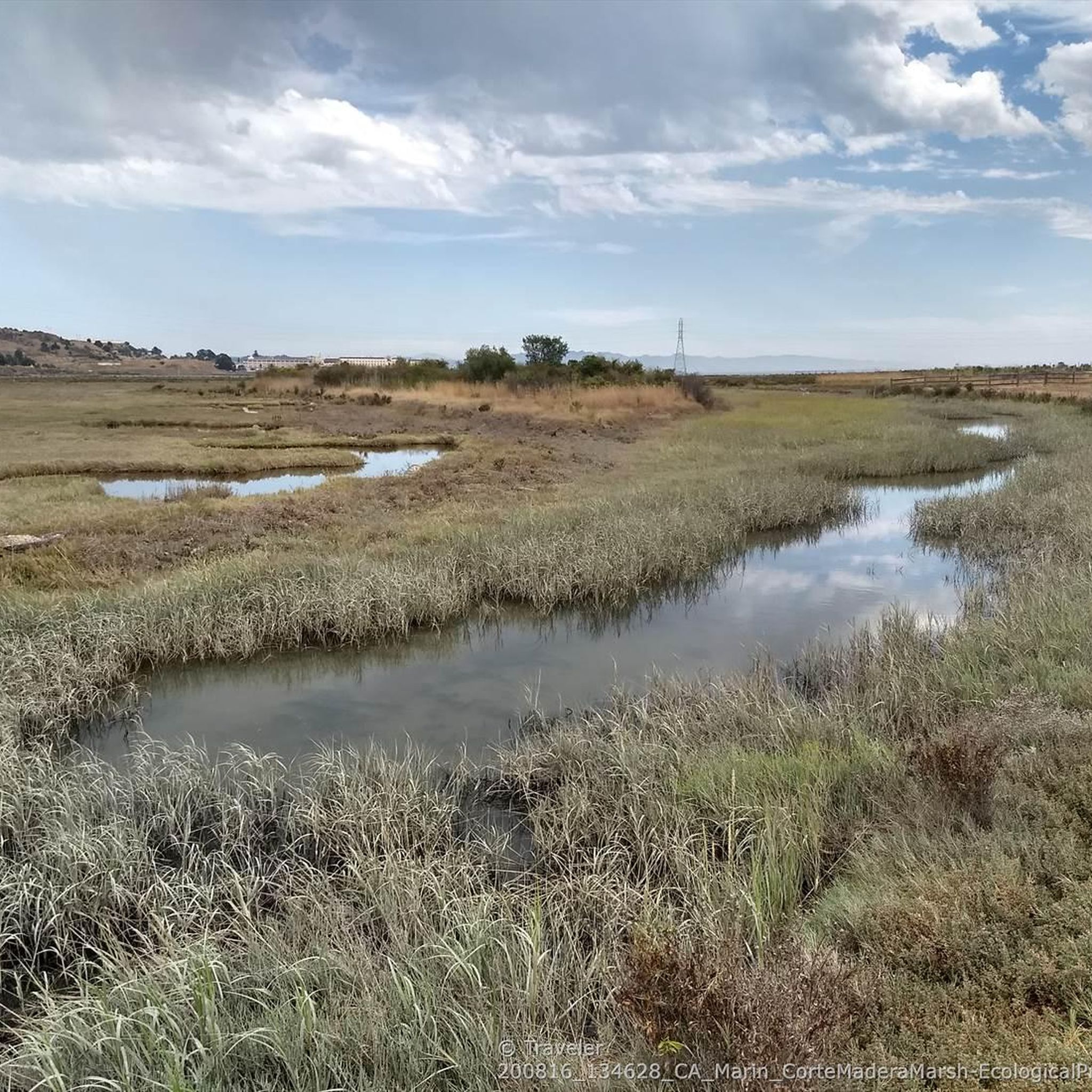
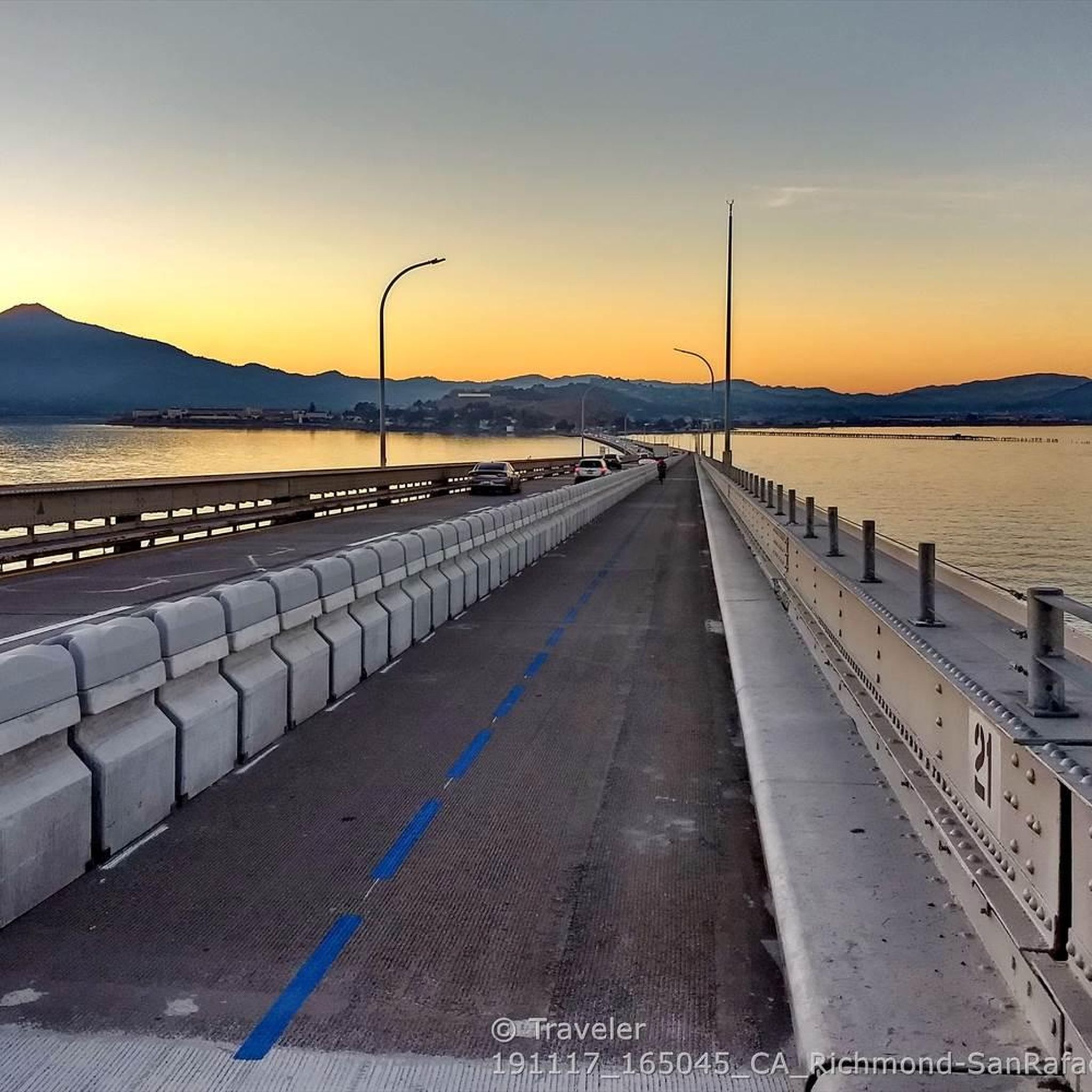
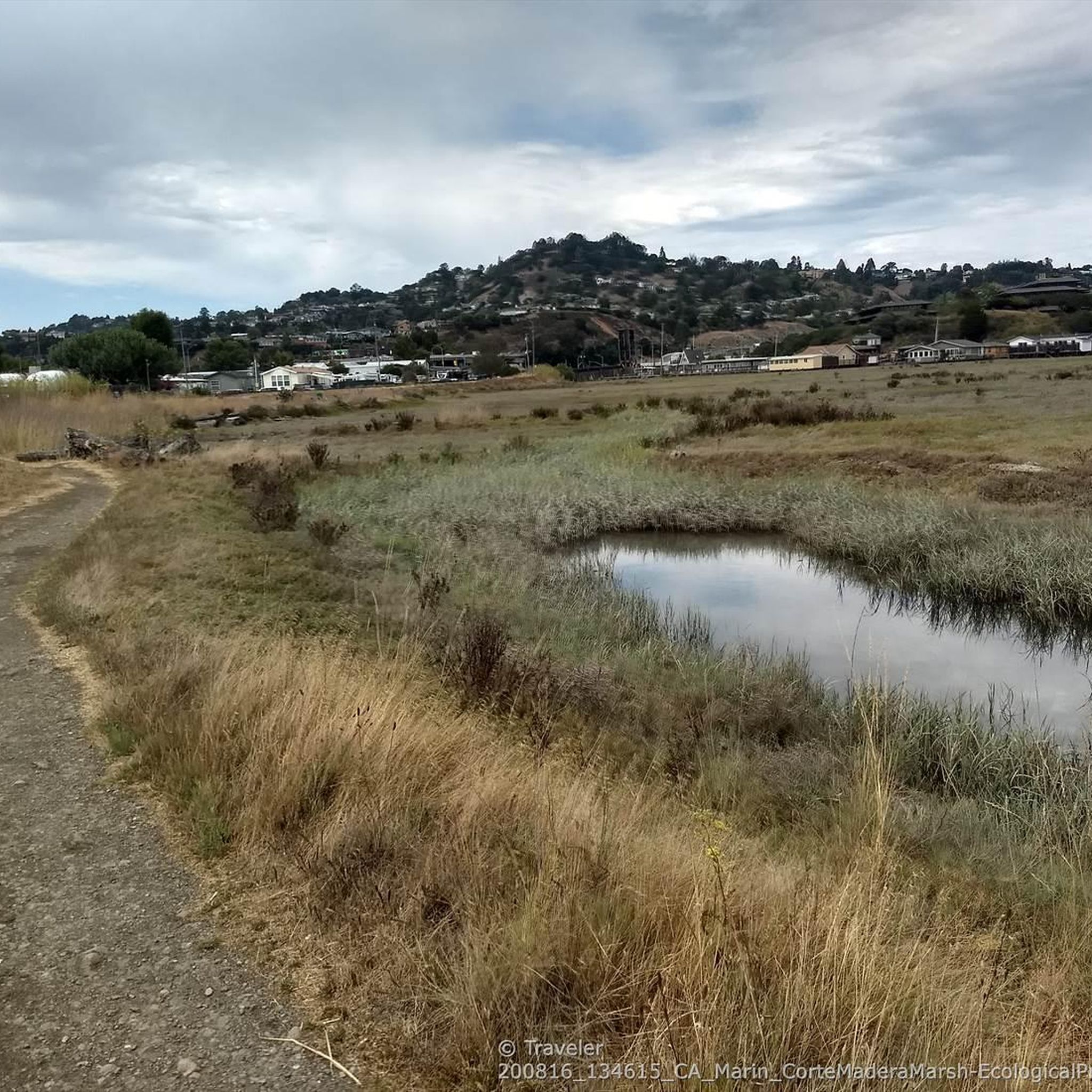

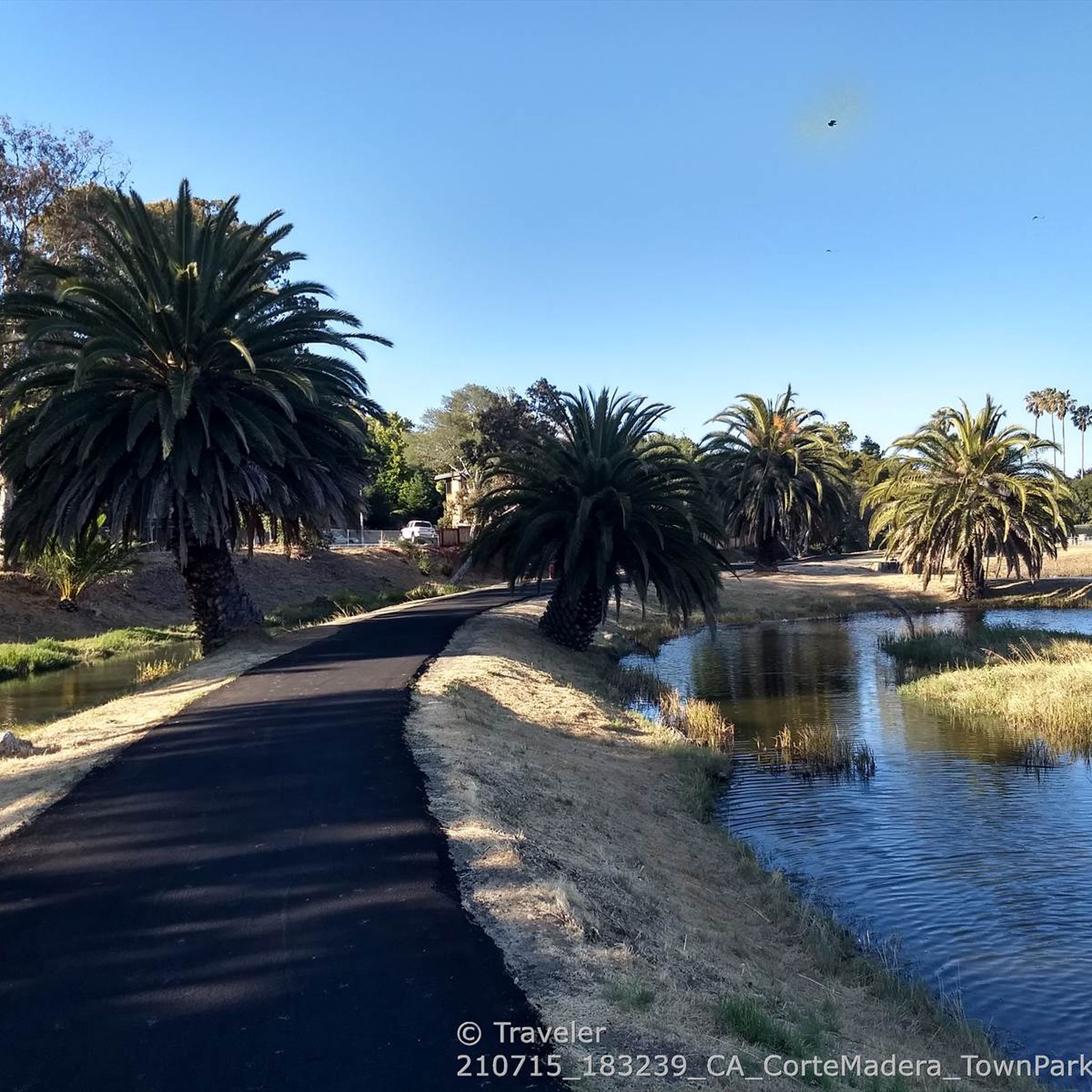
Tips from the Community

One of the best views in the entire Bay Area. No question.
0
0

Mount Tam East Peak offers some of the most majestic views north of the bay. From this vantage point, you can see all of Marin, along with Point Reyes to the north and Oakland and San Francisco to the south. The stunning panoramic vistas make the journey well worth the effort. There are restrooms and picnic tables, ideal for a snack or lunch while you capture some incredible photos.
1
0

Great lookout with a usually closed summit hut at 2571 feet (784 m) elevation. Outstanding views of the Bay, Marin County, San Francisco, and the Pacific Ocean.
0
0

Bare Knoll is a relatively small peak that allows you to see views stretching from Stinson Beach into the Gulf of the Farallones.
1
0

There are, indeed, horses on this hill. Connector path between Mill Valley and Corte Madera, easier than Camino alto. The alto tunnel is still closed, learn more here: https://openaltotunnel.org/
0
0

This trail runs along part of the Dipsea Trail and heads towards Cardiac Hill. The first section is characterised by a wooden stairway, then the path goes into a lush forest.
0
0
Highest peak in Marin County, north of the Golden Gate with fantastic panoramic views in all directions, from the Bay to the Pacific, to the skyline of San Francisco as well as the small towns, bays and coastline along the North Bay.
1
0
Sweeping bay and San Francisco skyline views reward the hiker up the trail to the 791 feet (241 m) elevation summit of the island. The peak is named for American conservationist Caroline Sealy Livermore (1883-1968), whose work created several protected areas in Marin county, and led to the protection of Angel Island and its declaration as a state park.
3
0
Frequently Asked Questions
What are some of the most popular mountain peaks and elevated areas to explore near Corte Madera?
Near Corte Madera, you can explore several elevated natural areas. Cardiac Hill (Dipsea Trail, Mount Tamalpais State Park) is a popular summit known for its challenging ascent and lush forest sections. Another must-see spot is Mount Caroline Livermore summit, offering sweeping views of the Bay and San Francisco skyline. For unique vistas, Bare Knoll provides views stretching from Stinson Beach into the Gulf of the Farallones.
Are there family-friendly hiking options among the peaks near Corte Madera?
Yes, there are options suitable for families. While some trails can be steep, areas like Ring Mountain Preserve offer easily accessible short ridge-top hikes with rich natural and cultural history. Mount Tamalpais State Park also features accessible options like the Verna Dunshee Trail at East Peak. For more easy hikes, you can explore routes like the Ring Mountain to Loop Trail.
What kind of natural features can I expect to see when hiking the peaks around Corte Madera?
The peaks and elevated areas around Corte Madera offer a diverse range of natural features. You'll encounter redwood forests, oak woodlands, open grasslands, and chaparral. Mount Tamalpais, for instance, boasts these varied landscapes. Ring Mountain Preserve is particularly known for its unique geology and rare plant life, including the endangered Tiburon mariposa lily.
Are there any historical or cultural landmarks near the mountain peaks?
Yes, Ring Mountain Preserve is home to fascinating circular petroglyph carvings made by the indigenous Coastal Miwok tribe over 2,000 years ago, visible on Petroglyph Rock. Mount Tamalpais also has the historic West Point Inn and the Mountain Theater, which hosts outdoor performances.
What is the best time of year to hike the mountain peaks near Corte Madera?
The region generally offers good hiking conditions year-round. However, spring is particularly beautiful for wildflowers, especially at Ring Mountain Preserve. Fall and winter can offer exceptionally clear days for panoramic views, sometimes even revealing the snow-covered Sierra Nevada from Mount Tamalpais. Always check weather conditions before heading out, as fog can roll in, especially in summer.
What are the typical elevations of the peaks in the Corte Madera area?
While Corte Madera itself is low-lying, the surrounding hills and nearby peaks offer significant elevation. Mount Tamalpais, the highest in the Marin Hills, reaches about 2,576 feet (785 meters) at its West Peak. Ring Mountain Preserve's highest point is around 602 feet, and Mount Caroline Livermore summit is 791 feet (241 meters).
Are there any challenging hiking trails for experienced hikers?
Yes, for experienced hikers, Cardiac Hill (Dipsea Trail, Mount Tamalpais State Park) is categorized as challenging due to its steep ascent. Mount Tamalpais State Park, in general, offers an extensive network of trails with varying difficulty levels, including more strenuous options.
What outdoor activities, besides hiking, can I do near these mountain peaks?
Beyond hiking, the area around Corte Madera is excellent for cycling. Mount Tamalpais State Park offers fire roads suitable for biking. You can find various cycling routes, including road cycling routes and touring bicycle routes, that explore the scenic Marin County landscape.
Are the trails around Corte Madera's peaks dog-friendly?
Many trails in Marin County are dog-friendly, but regulations vary by park and preserve. It's always best to check the specific rules for each location, such as Mount Tamalpais State Park or Ring Mountain Preserve, regarding leash requirements and permitted areas before bringing your dog.
Where can I find panoramic viewpoints of San Francisco and the Bay Area?
Many peaks and elevated areas offer stunning panoramic views. From the upper reaches of Mount Tamalpais, you can enjoy breathtaking vistas that include the Farallon Islands, the Marin County hills, San Francisco Bay and City, the East Bay, and Mount Diablo. Ring Mountain Preserve also provides 360-degree panoramic views of San Francisco, Mount Diablo, and the Richmond-San Rafael Bridge. Even within Corte Madera, Christmas Tree Hill offers excellent views of San Francisco and the Bay.
Is public transport available to reach the trailheads of these peaks?
While direct public transport to all trailheads might be limited, some areas are more accessible. For instance, Ring Mountain Preserve is located just off Highway 101, making it relatively easy to reach. For Mount Tamalpais, there are bus services that can get you closer to the park, but checking specific routes and schedules with local transit authorities is recommended for the most up-to-date information.
What is unique about the Horse Hill Bike Path?
The Horse Hill Bike Path is a paved trail along the Highway 101 corridor that provides a connector between Mill Valley and Corte Madera. It offers a less strenuous option than Camino Alto for crossing this ridge and was freshly repaved in late 2016. It's a popular route for cyclists and offers views of the surrounding hills.
Most popular routes around Corte Madera
Most popular attractions around Corte Madera

Get inspired with the komoot mobile app


Explore more
See even more amazing summits around Corte Madera with these guides:
