The best road cycling routes around Pomona
4.3
(36)
3,004
riders
84
rides
Road cycling around Pomona offers a diverse landscape, from urban routes to challenging mountain ascents. The region is situated near the San Gabriel Mountains, providing access to significant elevation gains and scenic views. Local trails, including paved paths along the San Gabriel River, cater to various cycling preferences. This area features a mix of suburban roads and natural corridors, making it suitable for different types of road cycling experiences.
Best road cycling routes around Pomona
- The most popular road cycling…
Last updated: July 13, 2026
24
riders
Easy road ride. Great for any fitness level. Mostly well-paved surfaces and easy to ride.
16
riders
Moderate road ride. Good fitness required. Mostly well-paved surfaces and easy to ride.

Sign up for free
17
riders
Moderate road ride. Good fitness required. Mostly well-paved surfaces and easy to ride.
7
riders
47.9km
02:20
520m
520m
Moderate road ride. Good fitness required. Mostly well-paved surfaces and easy to ride.
27
riders
41.1km
02:23
380m
380m
Moderate road ride. Good fitness required. Mostly well-paved surfaces and easy to ride.
Get access to more routes and recommendations from other explorers.
Sign up for free
Already have an account?
Our route recommendations are based on thousands of hikes, rides, and runs completed by other people on komoot.
Start today with a free account
Your next adventure awaits.
Login or Signup


Tips from the Community

You can cycle across the top of the dam, which was constructed in 1928 to help control flooding in the region. It stands at 147 feet high, and today supports a myriad of outdoor recreation activities on the reservoir.
0
0

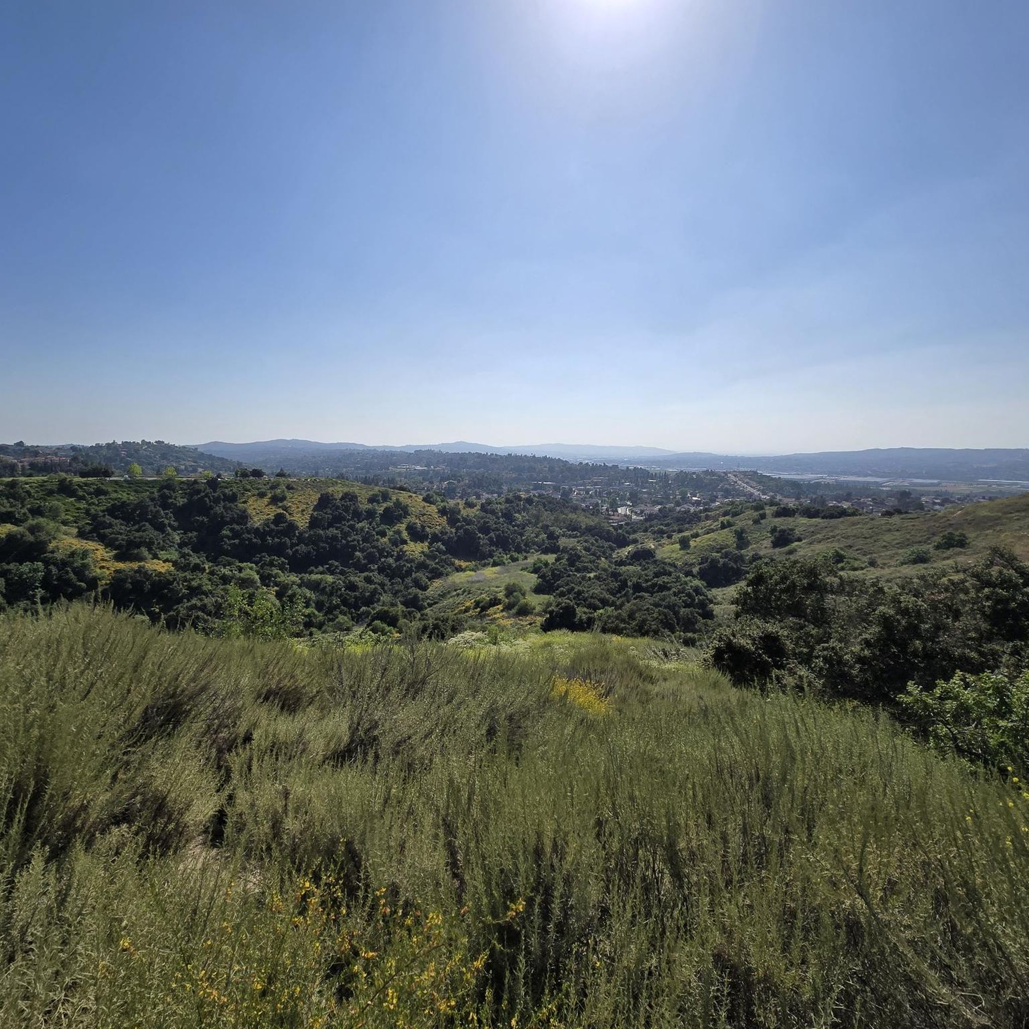
Great view of the Puddingstone Reservoir, a 250-acre man-made body of water. There is a road that runs along the perimeter of the reservoir and there is a spot to pull off the road to get a close up view of the water.
0
0

The best thing about Big Tree Park is... the big tree! Rightfully named, Big Tree Park boasts one of the largest Moreton Bay Figs south of Santa Barbara, planted in the late 1880s by Mr. Edgar J. Owens, a Glendora local. Today, the tree is almost 100 feet tall and has cables reinforcing it. There are no restrooms available at this park, and sometimes there are events like weddings here.
0
0
The Los Angeles County Department of Public Works currently operates the San Dimas Dam, a concrete gravity dam within the San Gabriel Mountains. It was built by the Los Angeles County Flood Control District in 1922, and today it stores water only after substantial winter storms and diverts floodwaters from San Dimas Wash to Puddingstone Reservoir.
0
0
Hear a plane coming in for a landing? You're experiencing air traffic from Brackett Field Airport. This airport is over 100 years old; it was established in 1911 and is one of the oldest operating airports in the Los Angeles area. There are only two runways here, and this small airport is a hub for flight training schools, charter services, and recreational flying.
0
1
This campground has 20 sites, including pull-through parking for medium-sized RVs, group camp sites, and horse camp sites. There are flush toilets, free showers, picnic benches, food hooks, and fire pits at each site. Please be sure to check local fire restrictions before making a campfire.
0
0

In addition to creating a beautiful natural environment that offers several spots with very good views in its surroundings, such as the Frank G. Bonelli Regional Park, you can cycle around the reservoir on several paved paths. In this reservoir, you can also enjoy many water activities.
1
0
The Puddingstone Diversion Reservoir was completed in 1928. This is a diversion dam that takes the water from San Dimas Creek and then divert it into a 3-mile channel that ends in the main reservoir.
1
0
Frequently Asked Questions
How many road cycling routes are available around Pomona?
There are over 80 road cycling routes around Pomona documented on komoot, catering to various skill levels. You can find options ranging from easy, flat rides to challenging mountain ascents.
What types of road cycling routes can I find in the Pomona area?
Pomona offers a diverse range of road cycling experiences. You'll find 21 easy routes, 49 moderate routes, and 12 difficult routes. These include urban paths, paved trails along the San Gabriel River, and demanding climbs into the San Gabriel Mountains.
When is the best time of year for road cycling in Pomona?
Pomona generally offers consistent year-round cycling weather, making it suitable for road cycling most of the year. The San Gabriel Mountains, in particular, are known for their favorable conditions, though high-elevation areas might experience snowfall in winter.
Are there any challenging mountain climbs for road cyclists near Pomona?
Yes, the San Gabriel Mountains, located north of Pomona, are a premier destination for challenging road cycling. Routes like Glendora Mountain Road (GMR), Mount Baldy, and Highway 39 (leading to Crystal Lake and Dawson Saddle) offer significant elevation gains and scenic views.
Are there any long, paved bike paths suitable for road cycling in Pomona?
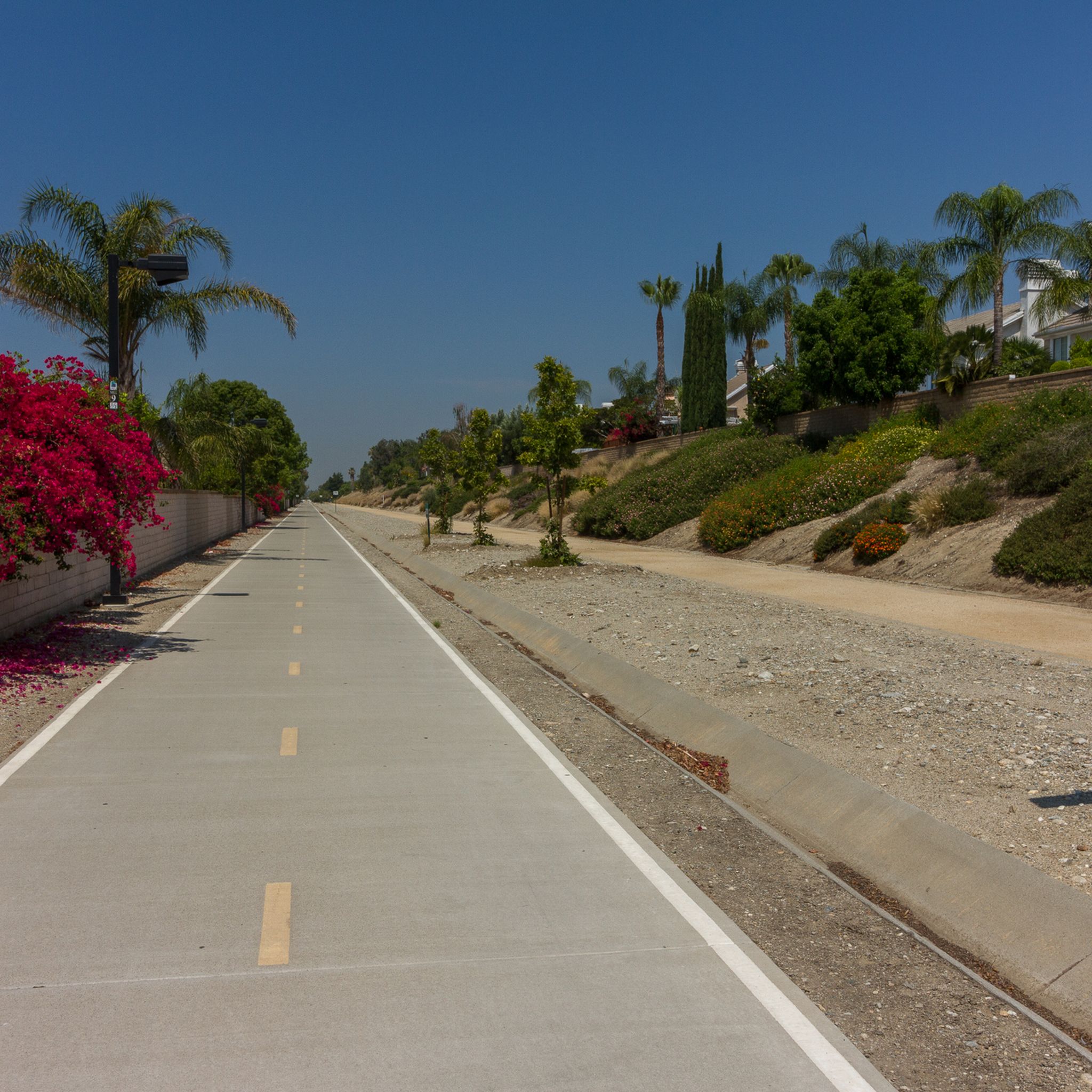
The San Gabriel River Trail (SGRT) is a prominent paved path, stretching 28 miles and connecting towards Long Beach. Another option is the Pacific Electric Trail (PE Trail), which starts near Claremont and extends towards Fontana, offering a relatively flat route.
Can I find scenic road cycling routes with good views?
Many routes in the Pomona area offer scenic vistas. The San Gabriel Mountains provide a dramatic backdrop, and routes around Puddingstone Reservoir, such as the View of Puddingstone Reservoir – Pomona College Museum of Art loop, offer beautiful water views. Glendora Mountain Road is also noted for its scenic beauty.
Are there any loop road bike trails around Pomona?
Yes, several loop routes are popular. For example, the Puddingstone Reservoir Dam – Brackett Field Airport loop and the Puddingstone Reservoir – View of Puddingstone Reservoir loop are well-regarded options that bring you back to your starting point.
Are there easy road bike trails suitable for beginners in Pomona?
Absolutely. With 21 easy routes available, beginners can find suitable options. The paved sections of the San Gabriel River Trail or parts of the Pacific Electric Trail offer relatively flat terrain, ideal for those new to road cycling or looking for a relaxed ride.
What attractions or landmarks can I see along road cycling routes in Pomona?
Along various routes, you can encounter points of interest like the View of Puddingstone Reservoir. Other nearby attractions include the Marshall Canyon Trail and the historic Route 66 cycle path.
Are there family-friendly road cycling options in Pomona?
The Pomona Valley Bicycle Coalition actively promotes family-friendly cycling, organizing events like the 'Ride Around Pomona.' While specific family-designated road routes aren't listed, the flatter, paved sections of trails like the San Gabriel River Trail can be suitable for families, though some sections may have interruptions at crosswalks.
What do other road cyclists enjoy most about cycling in Pomona?
The road cycling routes around Pomona are highly rated by the komoot community, with an average score of 3.8 stars from over 20 reviews. Cyclists often praise the diverse terrain, from urban paths to challenging mountain climbs, and the scenic views of the San Gabriel Mountains and Puddingstone Reservoir.
Is public transport available to access road cycling routes near Pomona?
While specific public transport connections directly to trailheads for cyclists aren't detailed, Pomona is part of Los Angeles County, which has a public transportation system. You may be able to reach general areas like Bonelli Park or the vicinity of Glendora Mountain Road via local transit, though planning for bike transport on buses or trains would be necessary.
Most popular attractions around Pomona

Get inspired with the komoot mobile app


Explore more
Browse the best Road cycling routes in other regions.
