The best cycling routes around Pomona
4.8
(7)
578
riders
41
rides
Best touring cycling routes Pomona California offer access to a diverse landscape, from the foothills of the San Gabriel Mountains to the recreational areas around Puddingstone Reservoir. The region features varied terrain, including rolling hills, forested sections, and open paths. Touring cyclists can explore routes that traverse urban fringes, natural parks, and scenic overlooks.
Best touring cycling routes around Pomona
- The most popular touring cycling route is Brackett Field Airport – Puddingstone Reservoir loop from Fairplex, a 11.1 miles…
Last updated: June 29, 2026
5.0
(1)
17
riders
Easy bike ride. Great for any fitness level. Mostly paved surfaces. Suitable for all skill levels.
22
riders
14.4km
01:23
250m
250m
Moderate bike ride. Good fitness required. Mostly paved surfaces. Suitable for all skill levels.

Sign up for free
17
riders
Hard bike ride. Very good fitness required. Mostly paved surfaces. Suitable for all skill levels.
5
riders
31.1km
02:37
570m
570m
Hard bike ride. Very good fitness required. Mostly paved surfaces. Suitable for all skill levels.
2
riders
27.0km
01:41
270m
270m
Moderate bike ride. Good fitness required. Mostly paved surfaces. Suitable for all skill levels.
Get access to more routes and recommendations from other explorers.
Sign up for free
Already have an account?
Our route recommendations are based on thousands of hikes, rides, and runs completed by other people on komoot.
Start today with a free account
Your next adventure awaits.
Login or Signup
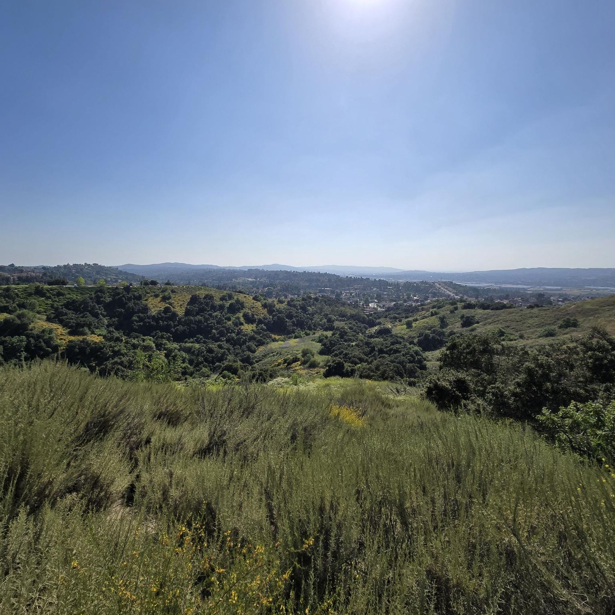
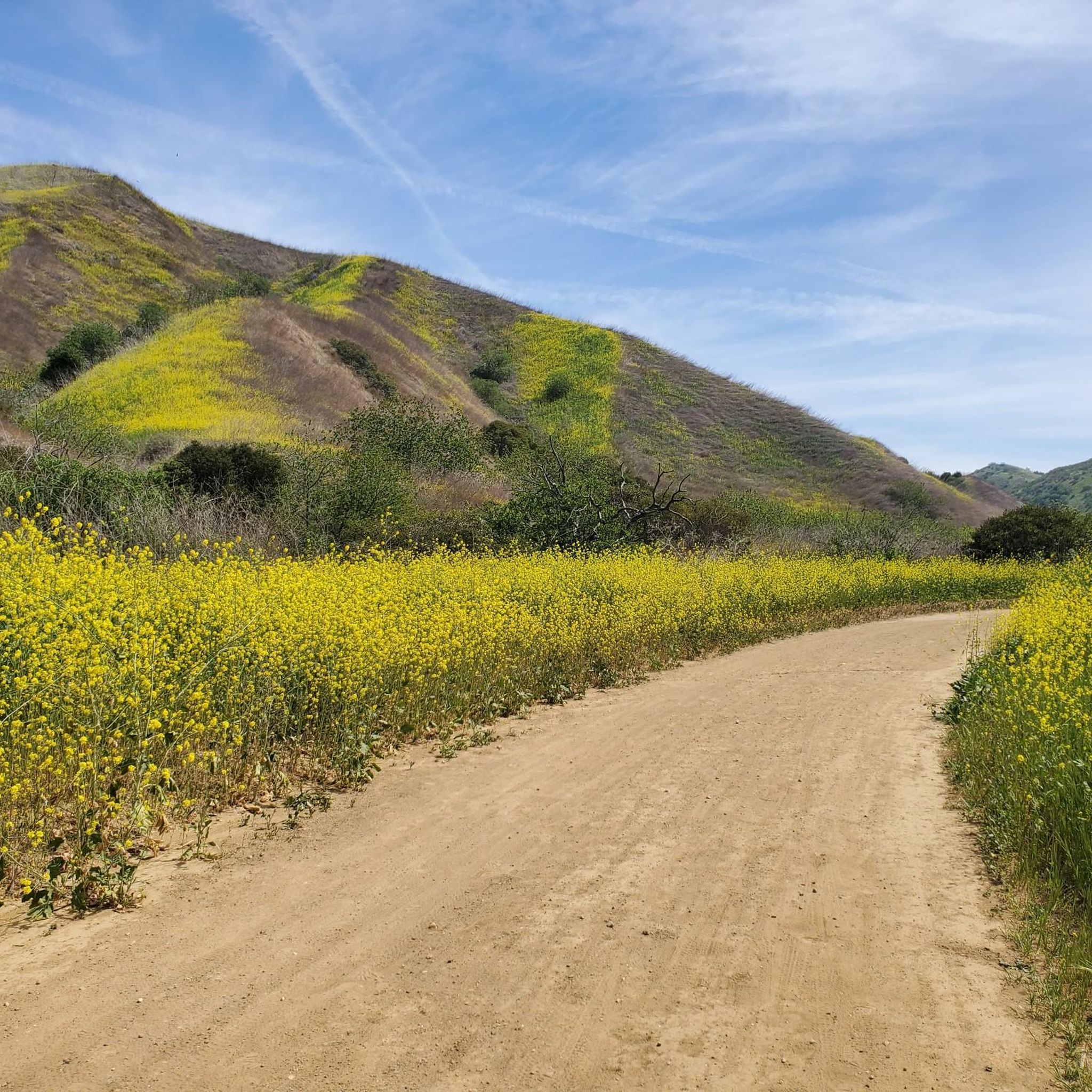


Tips from the Community

You can cycle across the top of the dam, which was constructed in 1928 to help control flooding in the region. It stands at 147 feet high, and today supports a myriad of outdoor recreation activities on the reservoir.
0
0

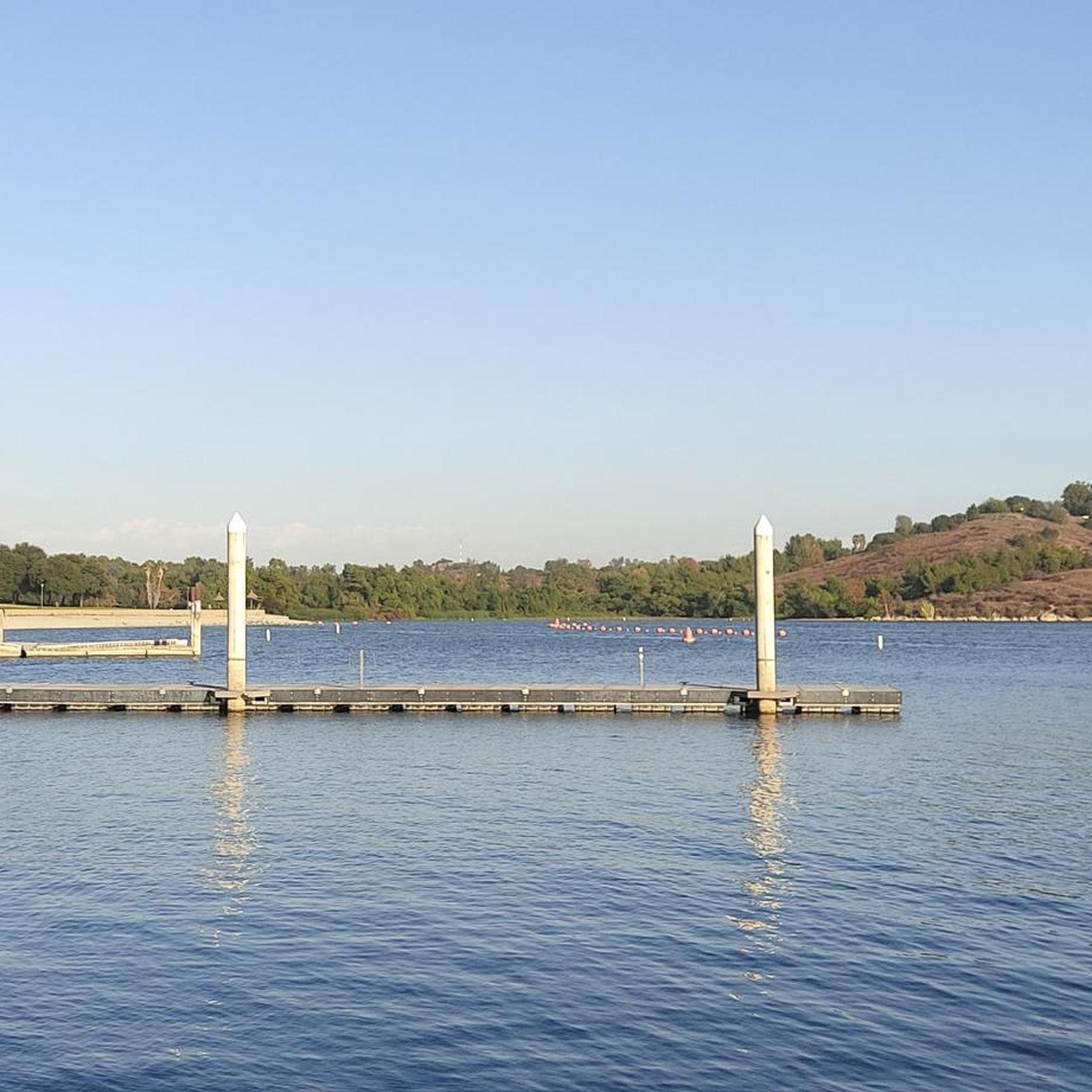
Great view of the Puddingstone Reservoir, a 250-acre man-made body of water. There is a road that runs along the perimeter of the reservoir and there is a spot to pull off the road to get a close up view of the water.
0
0

The Marshall Canyon Trail is in La Verne, CA, starts at Oak Mesa Park and features 1,310 feet of climbing, reaching a max elevation of 2,424 feet. Known for its oak tree cover and lush terrain, it’s often referred to as "Sherwood Forest" due to its green, shady environment. The lower section is relatively flat, with more climbing occurring deeper into the canyon. For mountain bikers, there are many variations off the main trail that can add both milage and elevation to your ride. Adding the Claremont Loop, for example, can extend the ride by 4-5 miles and 800 vertical feet. The trail and surrounding area provides a refreshing NorCal feel, with shaded trails and a creek, contrasting with the typically hot and dry surrounding hills.
0
0

Hear a plane coming in for a landing? You're experiencing air traffic from Brackett Field Airport. This airport is over 100 years old; it was established in 1911 and is one of the oldest operating airports in the Los Angeles area. There are only two runways here, and this small airport is a hub for flight training schools, charter services, and recreational flying.
0
1

In addition to creating a beautiful natural environment that offers several spots with very good views in its surroundings, such as the Frank G. Bonelli Regional Park, you can cycle around the reservoir on several paved paths. In this reservoir, you can also enjoy many water activities.
1
0
The Puddingstone Diversion Reservoir was completed in 1928. This is a diversion dam that takes the water from San Dimas Creek and then divert it into a 3-mile channel that ends in the main reservoir.
1
0

The canyon itself is a product of ancient volcanic activity, evident in the towering rock formations and dramatic cliffs. The canyon boasts renowned rock climbing routes frequented by experienced climbers. It has also been featured in numerous movies and TV shows, from westerns like "The Lone Ranger" to sci-fi classics like "Star Trek".
1
0
Little Dalton Debris Basin is a small, man-made collecting pond in Big Dalton Canyon Wilderness Park. It is just off Big Dalton Canyon Road and Glendora Mountain road, which are both popular, challenging roads for biking.
0
0
Frequently Asked Questions
What kind of terrain can I expect on touring cycling routes around Pomona?
Touring cycling routes in Pomona offer a diverse landscape, ranging from the challenging climbs of the San Gabriel Mountains to the serene paths around Puddingstone Reservoir. You'll encounter rolling hills, forested sections, and open paths, including areas with lush, oak-tree-covered terrain like the Marshall Canyon. The region provides options for various preferences, from strenuous climbs to relatively flat sections.
Are there touring cycling routes suitable for beginners in Pomona?
Yes, Pomona offers several touring cycling routes suitable for beginners. There are 5 easy routes available. An excellent option for those new to touring cycling is the Brackett Field Airport – Puddingstone Reservoir loop from Fairplex, which is 11.1 miles (17.9 km) and circles the Puddingstone Reservoir, offering pleasant views.
Where can I find more challenging touring cycling routes near Pomona?
For experienced touring cyclists seeking a challenge, Pomona and its surroundings offer 28 difficult routes. The San Gabriel Mountains provide significant elevation changes and strenuous climbs. A notable route is the Newman Point Overlook – Little Dalton Debris Basin loop from La Verne/Fairplex, which covers 28.2 miles (45.4 km) and includes substantial elevation gain.
What natural features or scenic views can I expect to see while touring cycling in Pomona?
You can enjoy a variety of natural features and scenic views. Routes often feature the dramatic backdrop of the San Gabriel Mountains, views of the Puddingstone Reservoir, and passages through oak-tree-covered landscapes like the Marshall Canyon Trail. You might also encounter peaceful lookouts within the Claremont Hills Wilderness Park and ride across the View of Puddingstone Reservoir.
Are there any specific landmarks or points of interest along the touring cycling routes?
Yes, several routes incorporate interesting landmarks. You can cycle across the Puddingstone Dam, offering elevated perspectives of the reservoir. Other points of interest include areas near the Little Dalton Debris Basin and sections of the historic Route 66 cycle path. Some routes also pass through or near Frank G. Bonelli Regional Park.
Are there any circular touring cycling routes in Pomona?
Many of the touring cycling routes around Pomona are designed as loops, allowing you to start and end at the same point. For example, the Brackett Field Airport – Puddingstone Dam loop from University of La Verne is a moderate 9.0-mile (14.5 km) circular path that includes riding across Puddingstone Dam.
How long are the touring cycling routes in Pomona?
The touring cycling routes in Pomona vary significantly in length. You can find shorter loops, such as the 11.1-mile (17.9 km) Brackett Field Airport – Puddingstone Reservoir loop from Fairplex, as well as longer excursions like the 29.2-mile (47.1 km) Puddingstone Reservoir – Pomona College Museum of Art loop from Frank G. Bonelli Regional Park.
What is the best time of year for touring cycling in Pomona?
The most popular times for touring cycling in Pomona are generally in October and November, when the weather is often mild and pleasant. However, the region's diverse climate allows for cycling throughout much of the year, with seasonal considerations for heat in summer and cooler temperatures in winter, especially at higher elevations.
What do other touring cyclists enjoy the most about touring cycling in Pomona?
The touring cycling routes in Pomona are highly rated by the komoot community, with an average score of 4.9 stars. Cyclists often praise the varied terrain, from the scenic views around Puddingstone Reservoir to the challenging climbs in the foothills of the San Gabriel Mountains, and the well-maintained paths that offer a great workout amidst natural beauty.
Are there any touring cycling routes that pass through forested areas?
Yes, several routes offer sections through forested landscapes. The Marshall Canyon Trail area, for instance, is known for its lush, oak-tree-covered terrain, often referred to as 'Sherwood Forest,' providing a shaded and scenic cycling experience. The Angeles National Forest, a short drive from Pomona, also offers routes through forested mountains.
Can I find routes that connect to other popular cycling areas?
Yes, some routes in the Pomona area offer connections to broader cycling networks. For example, the Marshall Canyon Trail can be linked with the Claremont Loop for extended rides. The region's trail system is quite extensive, allowing for varied itineraries.
Are there any routes that offer views of the San Gabriel Mountains?
Absolutely. Many touring cycling routes in and around Pomona offer stunning views of the San Gabriel Mountains, which form a dramatic backdrop to the region. Routes that venture closer to the northern parts of Pomona or into areas like the Angeles National Forest will provide the most immersive mountain vistas and challenging climbs.
Most popular attractions around Pomona

Get inspired with the komoot mobile app


Explore more
Browse the best Cycling routes in other regions.
