The best road cycling routes around Bostonia
4.3
(25)
550
riders
50
rides
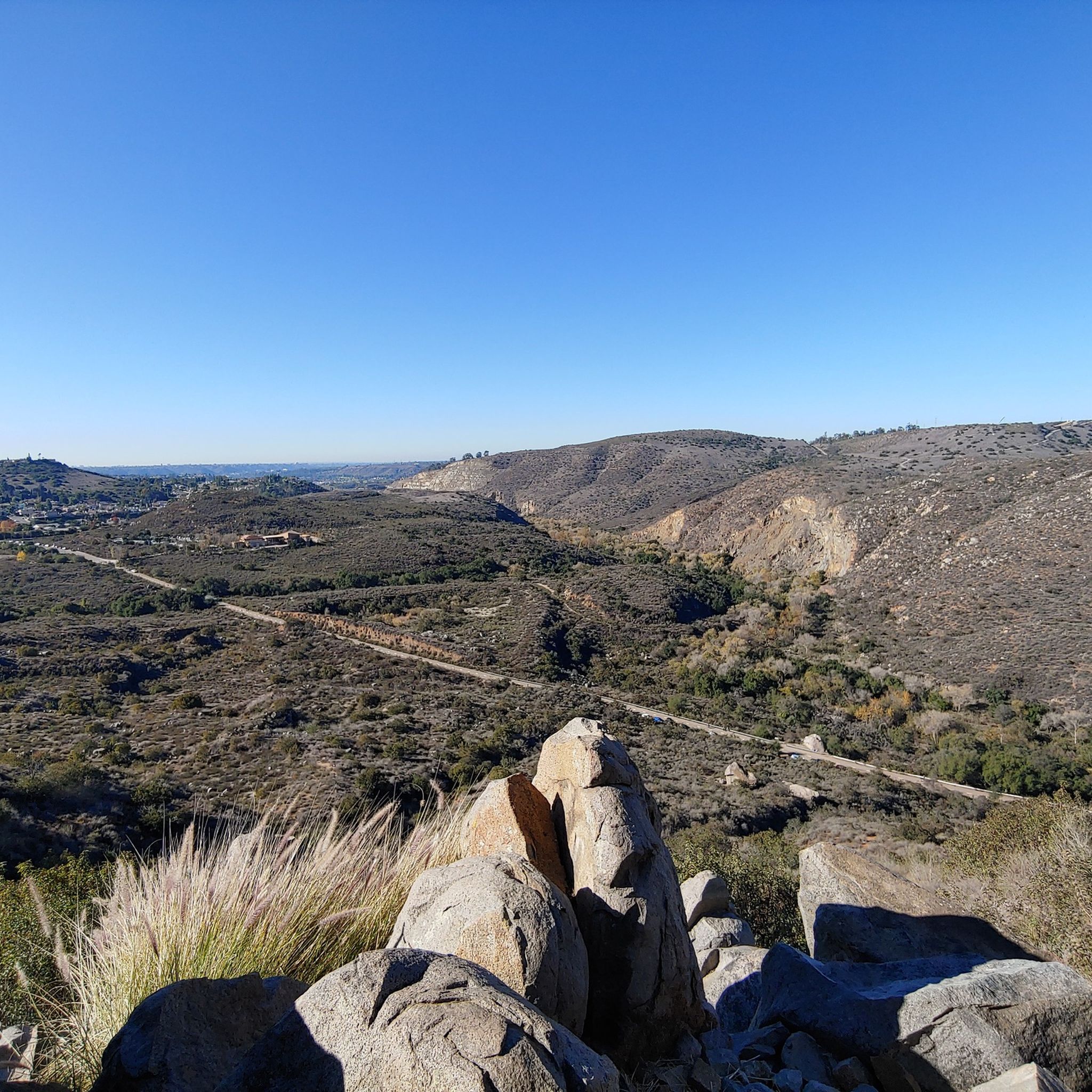
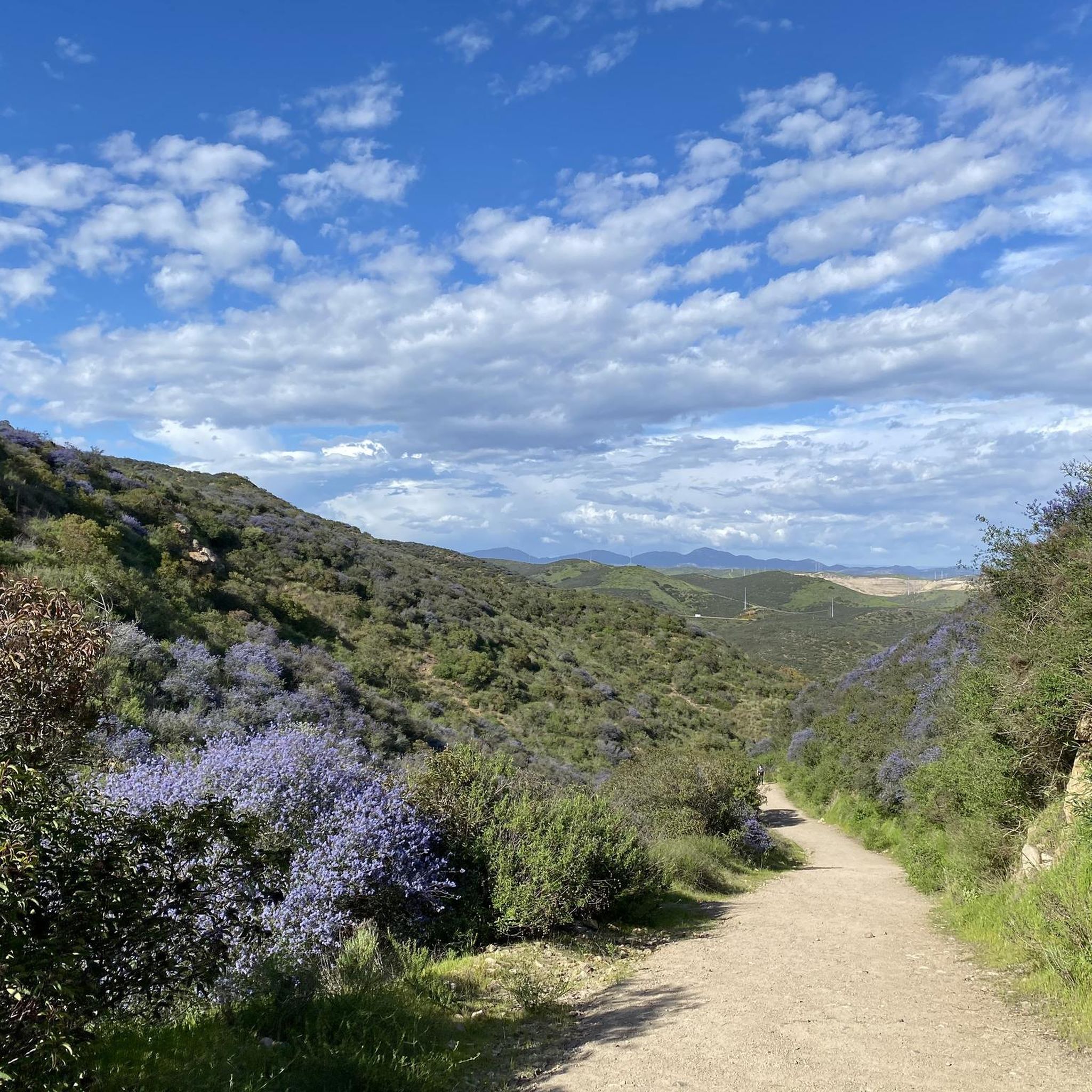
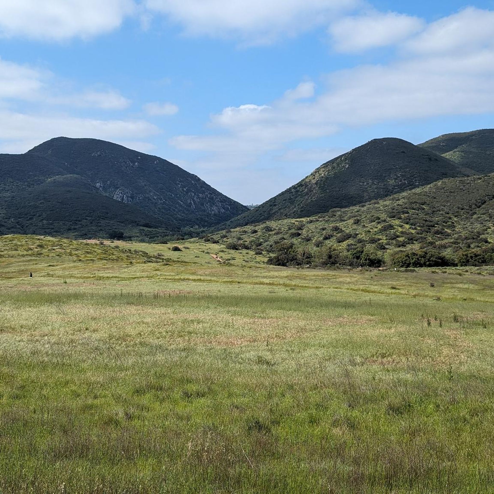
Road cycling routes around Bostonia, California, traverse a landscape characterized by rolling hills and lush valleys, offering varied terrain for cyclists. The region features prominent mountain views, including El Cajon Mountain and North Fortuna Summit, which provide scenic backdrops and challenging climbs. Cyclists can explore areas like Mission Trails Regional Park, known for its extensive network of paths, and routes along the SR 52 Bike Path. The topography includes both gentler inclines and significant elevation gains, catering to diverse fitness…
Last updated: July 11, 2026
4.5
(2)
15
riders
78.6km
03:51
1,100m
1,100m
Embark on the Scripps & Goodan Ranch loop, a difficult road cycling route that spans 48.9 miles (78.6 km) and climbs 3624 feet (1105 metres). This challenging ride, typically completed…
28
riders
56.8km
02:44
720m
720m
Moderate road ride. Good fitness required. Mostly well-paved surfaces and easy to ride.

Sign up for free
9
riders
101km
05:33
1,660m
1,660m
Hard road ride. Very good fitness required. Some segments of this route may be unpaved and difficult to ride.
2.0
(1)
7
riders
Moderate road ride. Good fitness required. Some segments of this route may be unpaved and difficult to ride.
4.8
(4)
6
riders
47.9km
02:06
450m
450m
Moderate road ride. Good fitness required. Mostly well-paved surfaces and easy to ride.
Get access to more routes and recommendations from other explorers.
Sign up for free
Already have an account?
Our route recommendations are based on thousands of hikes, rides, and runs completed by other people on komoot.
Start today with a free account
Your next adventure awaits.
Login or Signup
Tips from the Community

The Sweetwater River is a small year-round stream that flows 55 miles from the Cuyamaca Mountains to the San Diego Bay.
1
0

This area boasts stunning canyon views, with dots of wildflowers, various sage scrub and chaparral-covered hills. Once home to the Kumeyaay Indians, it is a beautiful stretch of scenery to enjoy as you ride down the highway.
0
0

This is a short, bi-directional State Route (SR) connector path that runs along the north side of the State 52 Freeway from Santo Road in San Diego to Mast Blvd in Santee. It is separated from the freeway by a concrete barrier.
0
0

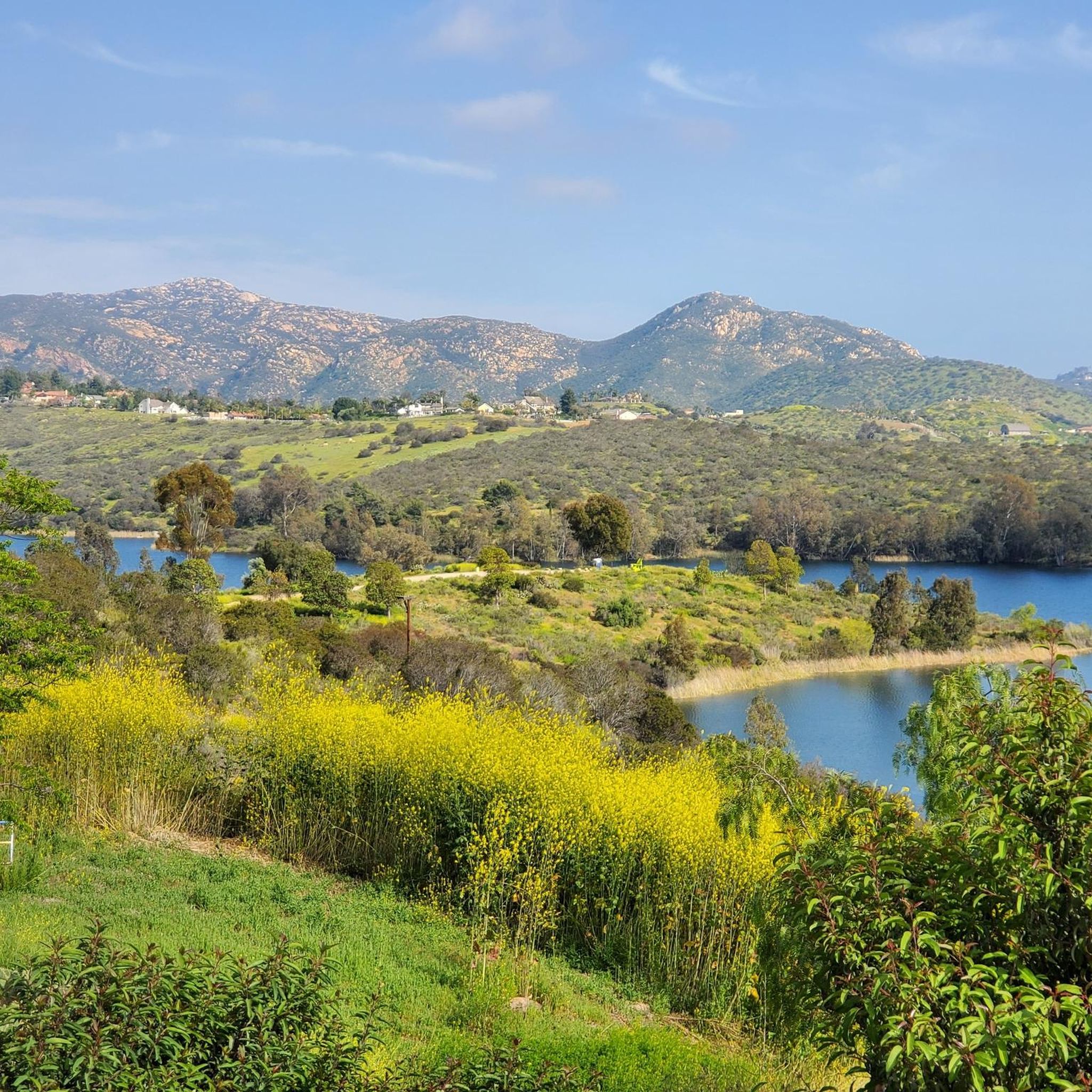
The Sweetwater River flows from Loveland Dam passing through Lake Emma, where the river bends west and runs parallel to Dehesa Road. The lake is fenced off and access is limited. At the western end of the lake is a golf club.
0
0

The Barnett Ranch County Reserve is a calm 728-acre space filled with oak trees, scrub and grassland with great views of the surrounding area. There are several straightforward trails here that you can loop around or take a short hike through. Open from 8am to sunset daily.
0
0
Oakoasis is a small nature reserve located in Lakeside where you can hike through a combination of tall shrubs and oak trees. As part of the expanding San Diego Trans County Trail, Oakoasis is planned to contribute to a future trail spanning from the coastline in Torrey Pines to the desert in Anza-Borrego.
0
0
This Trailhead right off Highway 67 leads up the Iron Mountain Trail to the summit. There are some other routes and loops you can take here aside from the main hike up the Iron Mountain Peak Trail. It is a well-marked trail system and easy to navigate. Dogs are allowed on the trail, but must be leashed.
0
0

A small convenience store with an awesome shaded picnic area, a stage, bathroom (key provided inside store), jungle gym and other playground toys for kids. There are also plenty of outlets throughout the area. Lots of cyclists and motorist stop here to hangout.
0
0
Frequently Asked Questions
How many road cycling routes are available around Bostonia?
There are over 50 road cycling routes around Bostonia, offering a wide range of options for different skill levels and preferences. These routes are highly rated by the komoot community, with an average score of 4.3 stars.
What types of terrain can I expect on road cycling routes in Bostonia?
Bostonia's road cycling routes traverse a diverse landscape of rolling hills and lush valleys. You'll find varied terrain, from gentler inclines suitable for casual rides to more challenging climbs with significant elevation gains, especially in areas like Mission Trails Regional Park. Some routes may also feature stunning canyon views and chaparral-covered hills.
Are there any easy or beginner-friendly road cycling routes in Bostonia?
Yes, Bostonia offers several easier options. The Sweetwater River Trail is noted as a great option for beginner cyclists, featuring mostly smooth surfaces. Overall, there are 8 easy routes available, providing a good starting point for those new to road cycling in the area.
Which routes offer a significant challenge for experienced road cyclists?
For experienced cyclists seeking a challenge, Bostonia has 8 difficult routes. The Scripps & Goodan Ranch loop is a difficult 48.9-mile route within Mission Trails Regional Park, known for its challenging climbs. Another demanding option is the Lyons Valley Trading Post loop from El Cajon, which spans 63.0 miles with substantial elevation gain.
What are some scenic highlights or landmarks I can see along Bostonia's road cycling routes?
Many routes offer stunning mountain views, including El Cajon Mountain and North Fortuna Summit. You can also cycle near natural attractions like Lake Murray Reservoir. Notable landmarks and viewpoints include the Old Mission Dam and the View from Cowles Mountain, both of which can be incorporated into your rides.
Are there any long-distance road cycling routes near Bostonia?
Yes, for those looking for longer rides, Bostonia offers several options. The Lyons Valley Trading Post loop from El Cajon is a substantial 63.0-mile route, and the Scripps & Goodan Ranch loop covers 48.9 miles, providing excellent opportunities for extended cycling adventures.
What do other road cyclists enjoy most about cycling in Bostonia?
The komoot community highly rates road cycling in Bostonia, with an average score of 4.3 stars from over 20 reviews. Cyclists frequently praise the varied terrain, which caters to different fitness levels, and the stunning scenic backdrops of rolling hills and mountain views.
Are there any road cycling routes that are accessible via public transport or have good parking options?
While specific public transport access points for each route are not detailed, many routes originate from areas with general accessibility. For example, the SR 52 Bike Path – SR 52 Bike Path loop from West Hills High School starts near a high school, which often implies available parking. It's advisable to check local parking regulations and public transport schedules for your chosen starting point.
Can I find loop routes for road cycling in Bostonia?
Yes, many of the road cycling routes around Bostonia are designed as loops, allowing you to start and end at the same point. Examples include the popular Scripps & Goodan Ranch loop and the SR 52 Bike Path – SR 52 Bike Path loop from West Hills High School, providing convenient circular journeys.
What is the best time of year for road cycling in Bostonia?
Bostonia, located in Southern California, generally offers favorable conditions for road cycling year-round. The region's mild climate means that even winter cycling is often possible. However, spring and fall typically provide the most comfortable temperatures, with pleasant weather for exploring the rolling hills and valleys.
Are there any routes that pass by lakes or water features?
Yes, some routes offer scenic views of water features. Lake Murray, a reservoir partly within Mission Trails Regional Park, is a notable area for scenic routes. Additionally, the Lake Murray Reservoir is a significant natural monument in the area that cyclists can enjoy.
Most popular attractions around Bostonia

Get inspired with the komoot mobile app


Explore more
Browse the best Road cycling routes in other regions.
