The best running trails around Deer Park
5.0
(3)
71
runners
13
runs
Jogging around Deer Park offers a variety of routes through diverse landscapes. The region features a mix of urban green spaces, nature preserves, and trails that cater to different running preferences. Terrain can range from flat, paved paths suitable for easy runs to more challenging routes with notable elevation changes.
Best jogging routes around Deer Park
- The most popular jogging route is Washington St Bike Path loop from Calistoga, a 4.0 miles (6.4 km) trail that takes about 40…
Last updated: July 8, 2026
10
runners
6.44km
00:40
20m
20m
Moderate run. Good fitness required. Mostly paved surfaces. Suitable for all skill levels.
5.0
(2)
10
runners
8.33km
00:52
40m
40m
Moderate run. Good fitness required. Mostly paved surfaces. Suitable for all skill levels.

Sign up for free
10
runners
Moderate run. Good fitness required. Mostly paved surfaces. Suitable for all skill levels.
15
runners
27.6km
03:59
1,150m
1,150m
Hard run. Very good fitness required. Mostly paved surfaces. Suitable for all skill levels.
4
runners
5.26km
00:33
20m
20m
Moderate run. Good fitness required. Mostly paved surfaces. Suitable for all skill levels.
Get access to more routes and recommendations from other explorers.
Sign up for free
Already have an account?
Our route recommendations are based on thousands of hikes, rides, and runs completed by other people on komoot.
Start today with a free account
Your next adventure awaits.
Login or Signup


Tips from the Community

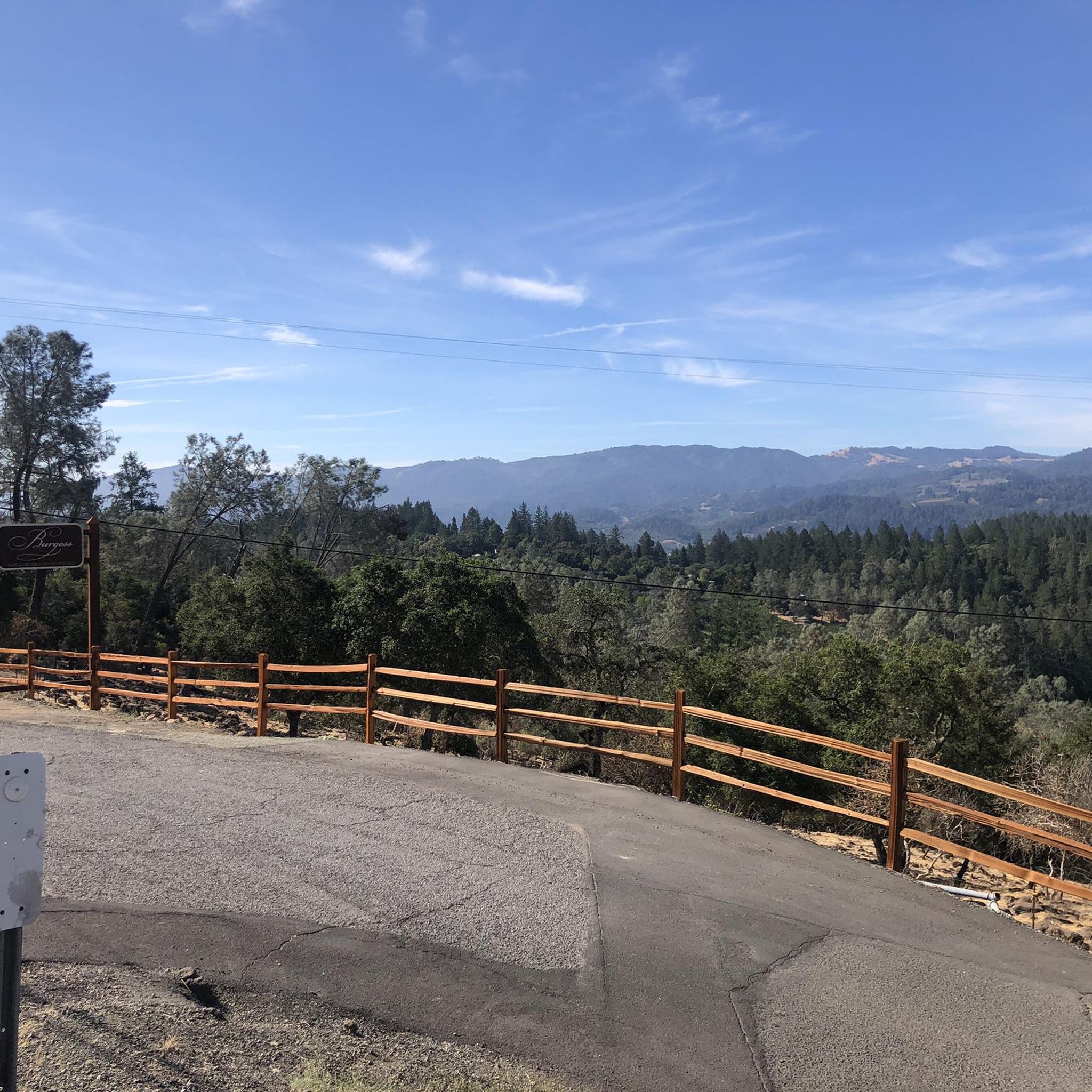
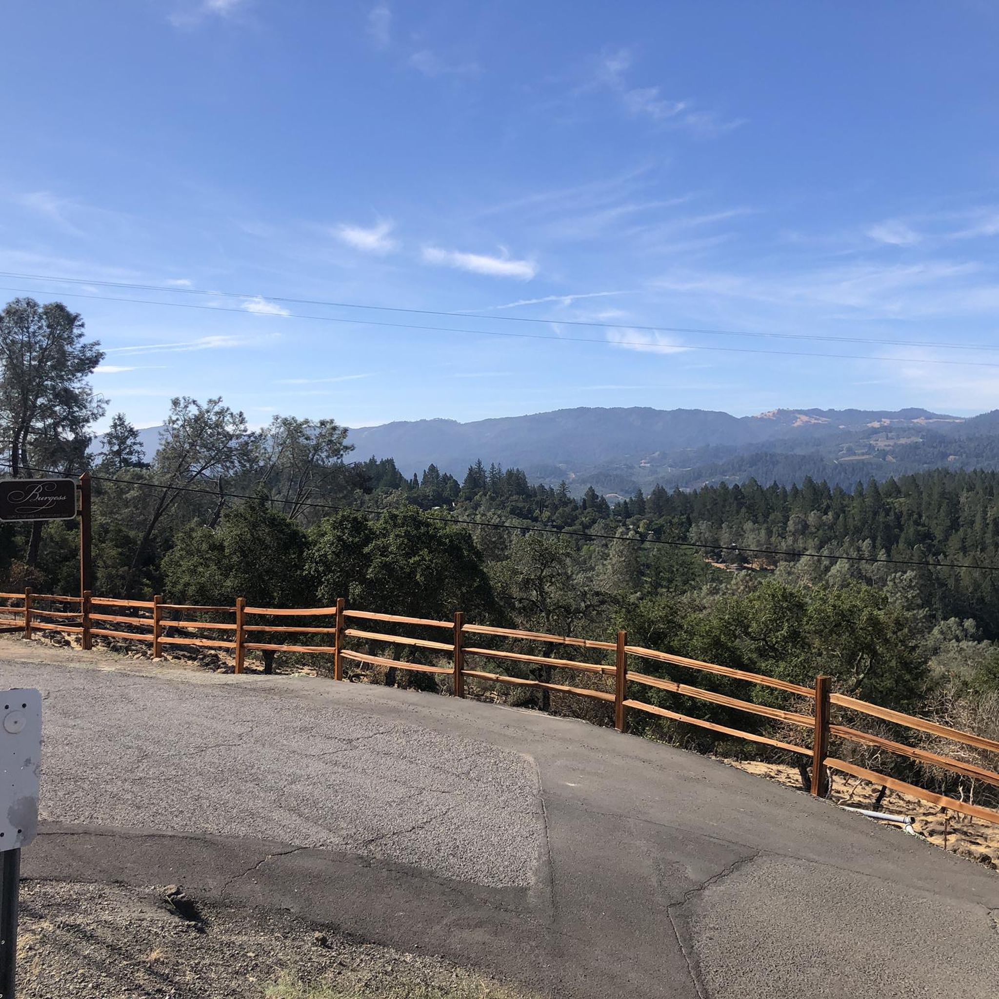
This is the trailhead for where the Oat Mill Mine Trail meets the Palisades Trail, which will take you to the top of Table Rock. It is also a great place to take a break and enjoy the wonderful view of the valley.
0
0
At this split in the trail, you are treated with a great view back onto Bald Mountain. From here, you have the option to turn on the path that leads you up to the summit of Bald Mountain, or you can continue along Oat Hill Mine Trail for more views further along the path.
0
0

This bike path allows you to avoid the busy big roads nearby and replace the views of cars with a tree-shaded one mile segment along the Napa River.
0
0
This bike path allows you to avoid the busy big roads nearby and replace the views of cars with a tree-shaded one mile segment along the Napa River.
0
0

Table Rock Summit, towering at 2,369 feet in Robert Louis Stevenson State Park, promises a rewarding hike. Embrace the challenge of the trail, conquer difficulties, and savor the breathtaking view from this elevated peak.
0
0

Oat Mill Mine Trail is within a great scenery. It is a challenging terrain that will test the skills of advanced riders.
0
0
Frequently Asked Questions
How many running routes are available in the Deer Park area?
The Deer Park area offers a variety of running experiences with over 15 routes recorded on komoot. These routes cater to different fitness levels, from easy jogs to more challenging long-distance runs.
What are the typical terrain and elevation changes like on running trails around Deer Park?
Running routes in Deer Park feature a mix of terrain. You'll find paved bike paths suitable for steady runs, as well as natural preserve trails. Some routes, like the View of Bald Mountain – Bald Hill loop from Calistoga, include significant elevation gain, offering a more challenging workout, while others have minimal ascents and descents.
Are there any easy running routes suitable for beginners or a relaxed jog?
Yes, Deer Park has several easy running options. For instance, the Washington St Bike Path loop from Calistoga is a moderate 4.0-mile (6.4 km) route with minimal elevation, perfect for a steady and enjoyable run. There are 2 routes specifically rated as easy in the area.
What do other runners say about the running trails in Deer Park?
The running routes in Deer Park are highly regarded by the komoot community, holding an average rating of 5.0 stars from 1 review. Over 60 runners have explored the diverse terrain, often praising the varied landscapes and well-maintained paths.
Are there any longer or more challenging running trails for advanced runners?
Absolutely. For those seeking a greater challenge, the View of Bald Mountain – Bald Hill loop from Calistoga is a difficult 14.9-mile (24.0 km) trail with substantial elevation gain, typically taking around 3 hours and 40 minutes to complete. There are 3 routes rated as difficult in the area.
Can I find circular running routes in Deer Park?
Yes, many of the running routes in Deer Park are designed as loops, providing a convenient circular experience. Examples include the popular Washington St Bike Path loop from Calistoga and the Running loop from Calistoga, both offering pleasant round trips.
What kind of natural features or landmarks can I expect to see while running in Deer Park?
While running in the Deer Park area, you can enjoy diverse natural settings. Some routes offer views of prominent peaks like Bald Mountain Summit and Red Mountain Summit. You might also encounter areas like Las Posadas State Forest and the scenic Lake Hennessey, providing beautiful backdrops for your run.
Are there any specific viewpoints along the running trails in Deer Park?
Yes, several running routes offer rewarding viewpoints. Notably, the View of Bald Mountain – Bald Hill loop from Calistoga provides stunning vistas. You can also find highlights like the View of Napa Valley from Brushy Peaks, offering panoramic scenes of the surrounding landscape.
What types of landscapes define the running experience in Deer Park?
The running experience in Deer Park is characterized by a blend of landscapes. You'll find well-maintained city parks with dedicated jogging trails, extensive nature preserves with trails winding through woodlands and wetlands, and routes that traverse rolling hills and offer views of mountain peaks. This variety ensures a dynamic and engaging run.
Are there any routes that pass through or near interesting settlements or towns?
Yes, some routes in the Deer Park vicinity may bring you close to charming local areas. For instance, the nearby settlement of Saint Helena is an attraction in the wider region, offering a glimpse into local life and amenities.
What is the average length of a running route in Deer Park?
The running routes in Deer Park vary significantly in length. While there are shorter options like the Washington St Bike Path – Washington St Bike Path loop from Calistoga at 3.6 miles (5.8 km), longer routes such as the View of Bald Mountain – Bald Hill loop from Calistoga extend to nearly 15 miles (24 km), providing options for all preferences.
Most popular routes around Deer Park
Most popular attractions around Deer Park

Get inspired with the komoot mobile app


Explore more
Browse the best Running Trails & Routes in other regions.
