The best road cycling routes around Jamul
4.7
(23)
706
riders
27
rides
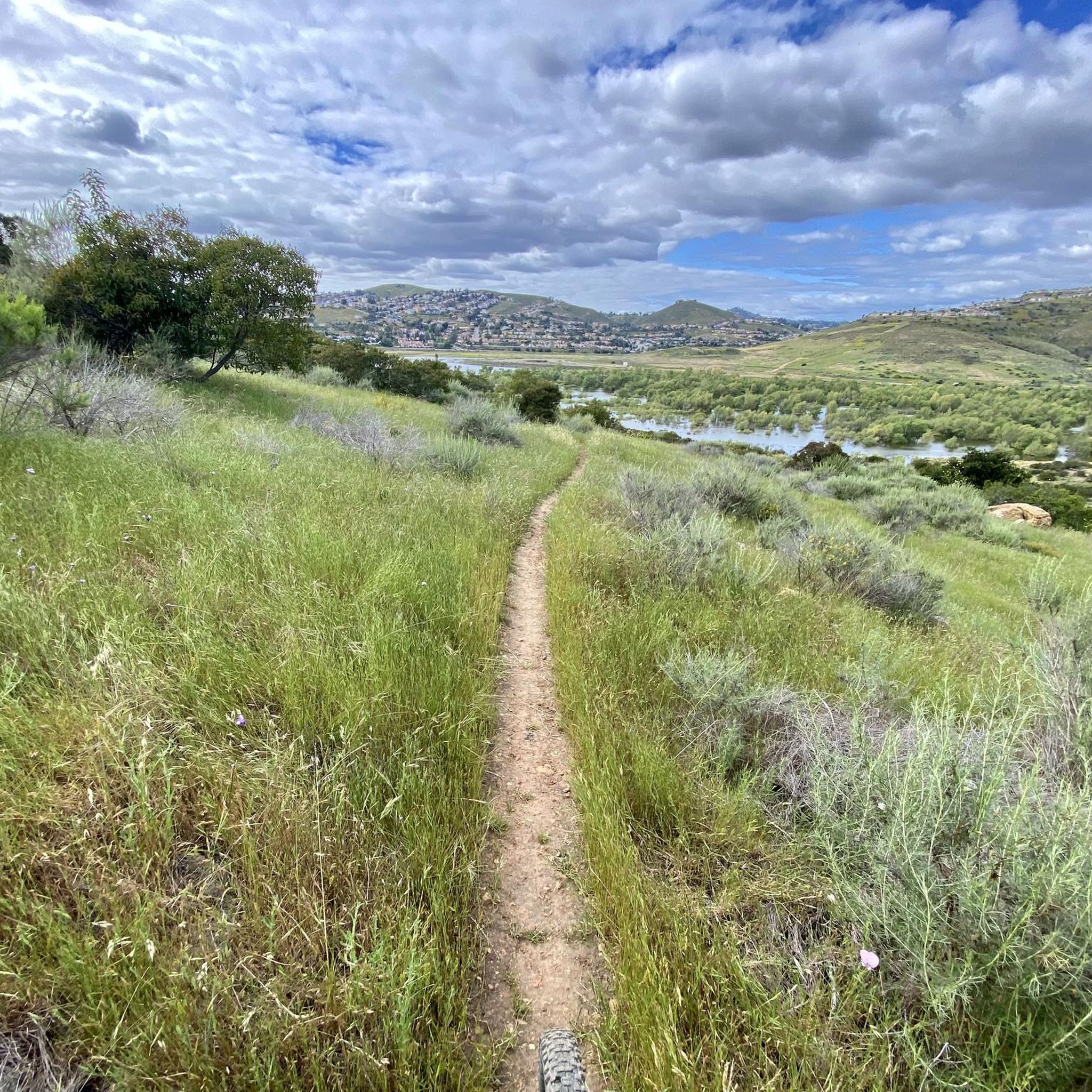
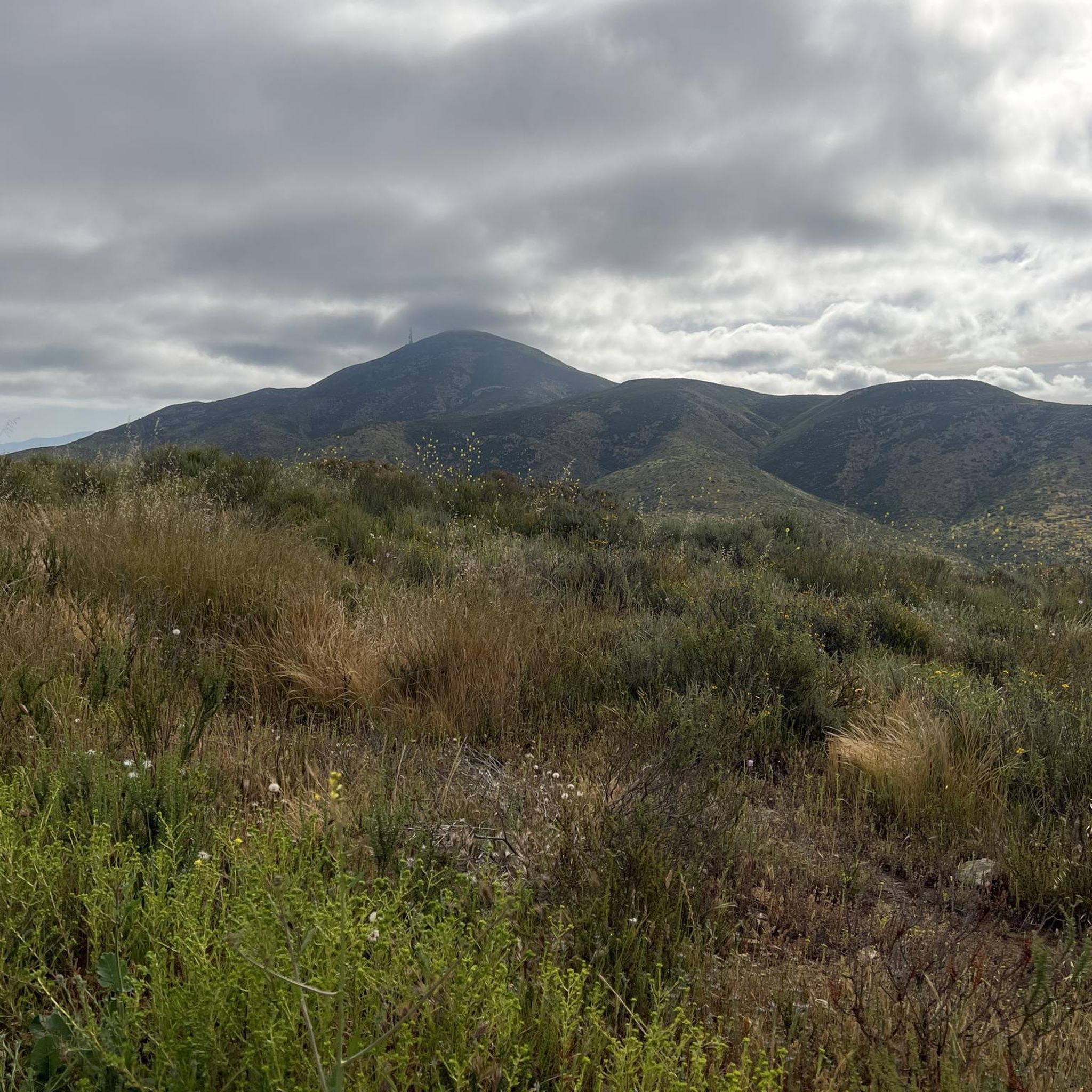
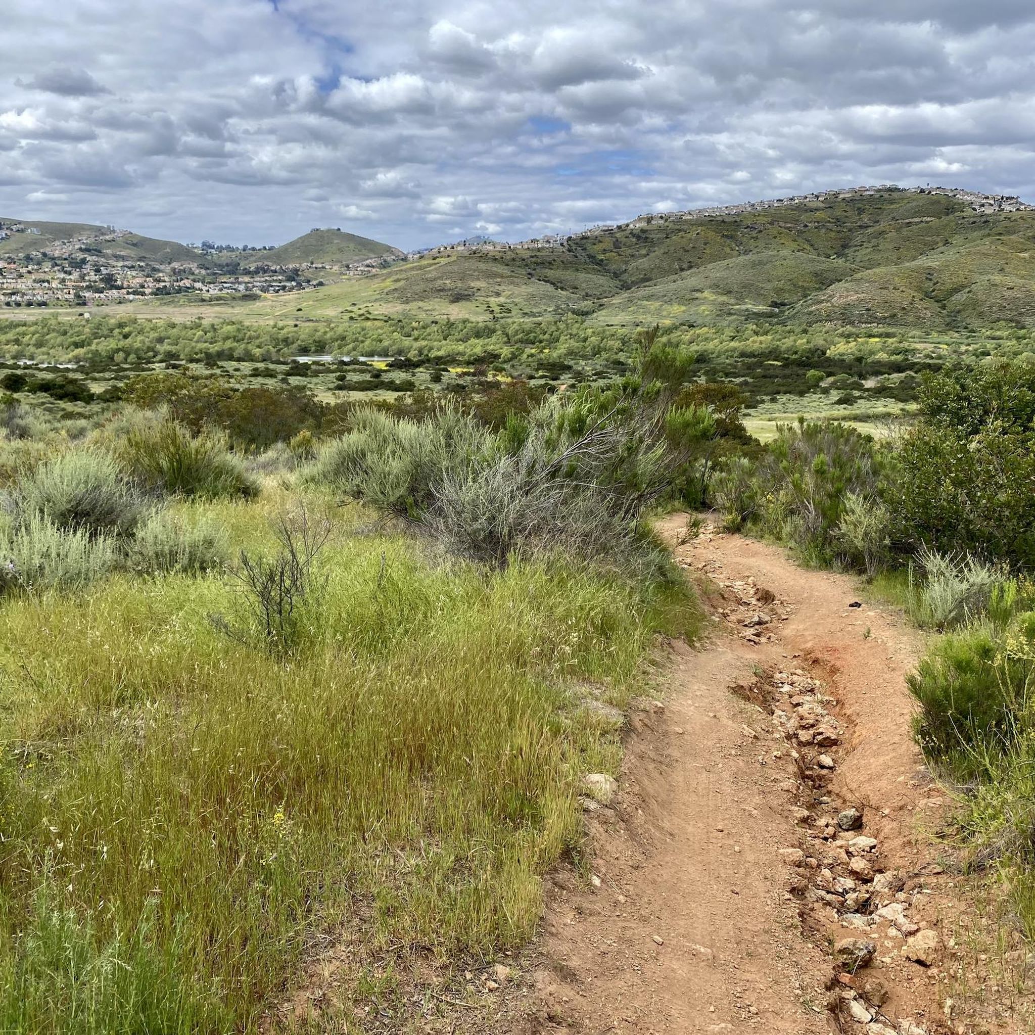
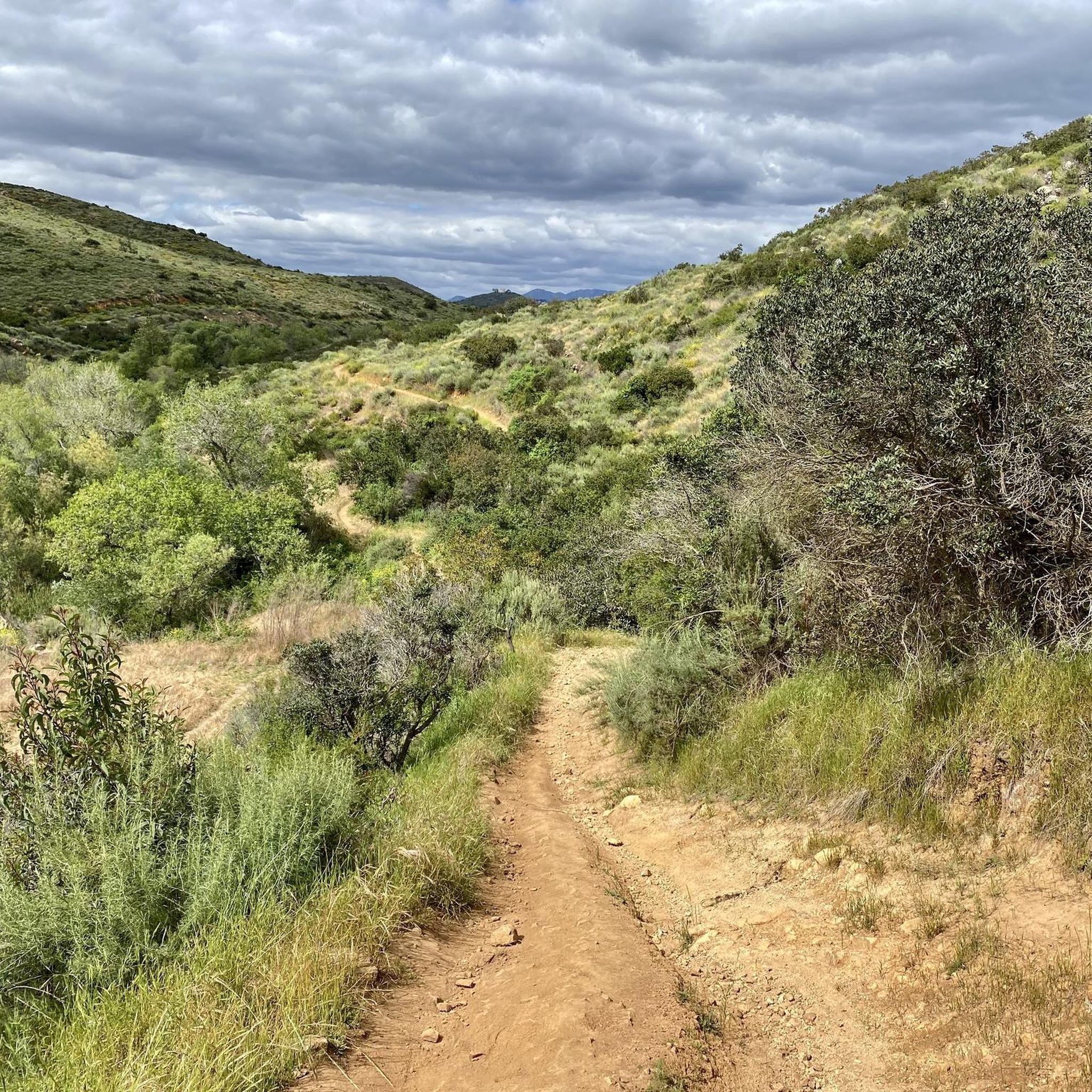
Road cycling around Jamul, located in the foothills of San Diego County, offers diverse landscapes and varied terrain. The region features rolling hills, quiet valleys, and expansive natural areas, characterized by grasslands, oak groves, and rugged mountain terrain. Significant elevation changes are present, with routes traversing low-elevation mountain ranges like the Jamul Mountains and areas around the Sweetwater River. This topography provides a range of road cycling opportunities, from moderate rides to challenging climbs.
Best road cycling routes around Jamul
- The most popular road cycling route is Lyons Valley loop, a 41.4 miles (66.6 km) difficult trail that takes 3 hours 30 minutes to complete. This route features significant elevation gain and offers scenic views around Barrett Lake.
- Another top favourite among local road cyclists is Sweetwater River loop from Rancho San Diego, a moderate 28.2 miles (45.4 km) path. This route includes varied terrain along the Sweetwater River, with a mix of paved surfaces.
- Local road cyclists also love the Mission Trails Regional Park – Old Mission Dam loop from Rancho San Diego, a 31.2 miles (50.2 km) trail leading through varied landscapes, often completed in about 2 hours 29 minutes.
- Road cycling around Jamul is defined by rolling hills, oak groves, and mountain terrain, with options for different ability levels.
- The routes in Jamul are highly rated by the komoot community with an average score of 4.6 stars from over 19 reviews. More than 600 road cyclists have used komoot to explore Jamul's varied terrain.
Last updated: July 11, 2026
4.8
(5)
177
riders
66.6km
03:30
1,200m
1,200m
Hard road ride. Very good fitness required. Mostly well-paved surfaces and easy to ride.
17
riders
51.0km
02:47
1,040m
1,050m
Hard road ride. Very good fitness required. Mostly well-paved surfaces and easy to ride.

Sign up for free
16
riders
45.4km
02:05
490m
500m
Moderate road ride. Good fitness required. Mostly well-paved surfaces and easy to ride.
13
riders
44.8km
02:24
870m
870m
Moderate road ride. Good fitness required. Mostly well-paved surfaces and easy to ride.
6
riders
Moderate road ride. Good fitness required. Mostly well-paved surfaces and easy to ride.
Get access to more routes and recommendations from other explorers.
Sign up for free
Already have an account?
Our route recommendations are based on thousands of hikes, rides, and runs completed by other people on komoot.
Start today with a free account
Your next adventure awaits.
Login or Signup
Tips from the Community

The Sweetwater River is a small year-round stream that flows 55 miles from the Cuyamaca Mountains to the San Diego Bay.
1
0

The Steele Canyon Bridge, also known as the Sweetwater River Bridge, is a beautiful landmark crossing the Sweetwater River. It is on the National Register of Historic places, and is no longer used for vehicles but is a great hiking, running or biking spot.
0
0

Hollenbeck Canyon Wildlife Area provides a 6,100-acre wildlife corridor between Otay Mountain and the Jamul Mountains. This mainly includes coastal sage scrub, chaparral, oak woodlands, riparian forests, freshwater marshes, and grasslands. The height range hovers between a low of 750' to 2,100'.
0
0

The Sweetwater River flows from Loveland Dam passing through Lake Emma, where the river bends west and runs parallel to Dehesa Road. The lake is fenced off and access is limited. At the western end of the lake is a golf club.
0
0
Hollenbeck Canyon Wildlife Area provides a 6,100-acre wildlife corridor between Otay Mountain and the Jamul Mountains. This mainly includes coastal sage scrub, chaparral, oak woodlands, riparian forests, freshwater marshes, and grasslands. The height range hovers between a low of 750' to 2,100'. There are official designated hiking trails for visitors to hike.
0
0

This trail runs between the recently renovated Mast Park with the San Diego River. Along the way, you'll enjoy the calming sounds of the river and have the opportunity to spot wildlife in the area.
0
0

Check out Public Square for coffee and morning noshes or City Taco for great tacos
0
0

A small convenience store with an awesome shaded picnic area, a stage, bathroom (key provided inside store), jungle gym and other playground toys for kids. There are also plenty of outlets throughout the area. Lots of cyclists and motorist stop here to hangout.
0
0
Frequently Asked Questions
How many road cycling routes are available around Jamul?
There are over 35 road cycling routes around Jamul, offering a diverse range of experiences. These routes are highly rated by the komoot community, with an average score of 4.6 stars.
What kind of terrain can I expect on road cycling routes in Jamul?
Jamul's landscape is characterized by rolling hills, quiet valleys, and expansive natural areas. You'll encounter rolling grasslands, shady oak groves, and rugged mountain terrain, with significant elevation changes that provide both moderate rides and challenging climbs.
Are there challenging climbs for experienced road cyclists in Jamul?
Yes, Jamul offers several challenging climbs. Notably, Honey Springs Road is a quintessential category 2 mountain climb, featuring a 7-mile stretch with an average 5% grade. Jamul Drive also presents a 2.2-mile bike climb with an average gradient of 4.9%.
What are some scenic highlights or natural features to look out for on Jamul's road cycling routes?
Cyclists can enjoy views of the Jamul Mountains, the serene Sweetwater River, and the expansive Hollenbeck Canyon Wildlife Area. McGinty Mountain offers sweeping views of coastal plains and desert ranges, and Lyons Valley Road is known for its stunning sunrise and sunset vistas.
Are there any good loop routes for road cycling in Jamul?
Absolutely. The Lyons Valley loop is a popular and challenging 41.4-mile route with significant elevation gain, offering scenic views around Barrett Lake. Another option is the Sweetwater River loop from Rancho San Diego, a moderate 28.2-mile path with varied terrain.
What is the best time of year to go road cycling in Jamul?
Jamul's mild climate generally makes it suitable for road cycling year-round. However, spring and fall often provide the most comfortable temperatures, avoiding the hotter summer months and potential winter rains. Always check local weather forecasts before heading out.
Are there any easy or beginner-friendly road cycling routes in Jamul?
Yes, there are options for beginners. The Sweetwater River loop from Rancho San Diego is an easy 22.3-mile route with minimal elevation gain, perfect for a more relaxed ride.
Where can I find parking for road cycling routes in Jamul?
While specific parking areas vary by route, many routes originate from or pass through areas like Rancho San Diego, which typically offers public parking. For routes within protected areas like the San Diego National Wildlife Refuge, designated trailheads often have parking facilities.
What do other road cyclists enjoy most about road cycling in Jamul?
The area is highly rated by the komoot community, with an average score of 4.6 stars from over 19 reviews. Reviewers often praise the diverse landscapes, the challenge of the climbs, and the serene escape offered by the quiet valleys and natural beauty.
Are there any facilities or rest stops along the road cycling routes?
Some routes may pass by small towns or points of interest where you can find facilities. For example, the Lyons Valley Trading Post loop from Rancho San Diego passes by the Lyons Valley Trading Post, which can serve as a convenient stop.
Can I reach Jamul's cycling routes using public transport?
Jamul is a more rural area, and direct public transport options to specific trailheads might be limited. It's generally recommended to drive or arrange transport to access the starting points of most road cycling routes in the region.
Are there any long-distance road cycling routes in Jamul?
For those seeking longer rides, the 'Jamul Loop with Honey Springs' is a significant cycling route, spanning 67.5 km (approximately 42 miles) with over 1,000 meters of elevation gain, offering a substantial challenge.
Most popular attractions around Jamul

Get inspired with the komoot mobile app


Explore more
Browse the best Road cycling routes in other regions.
