The best running trails around Müritzarm
4.3
(131)
1,518
runners
78
runs
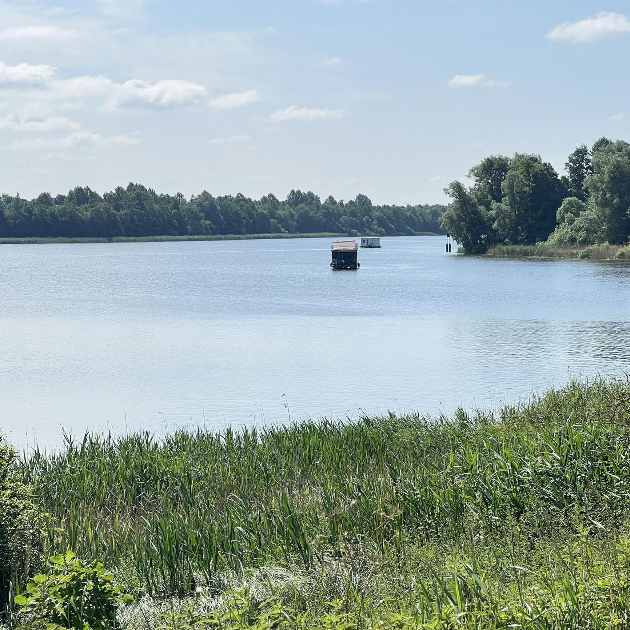
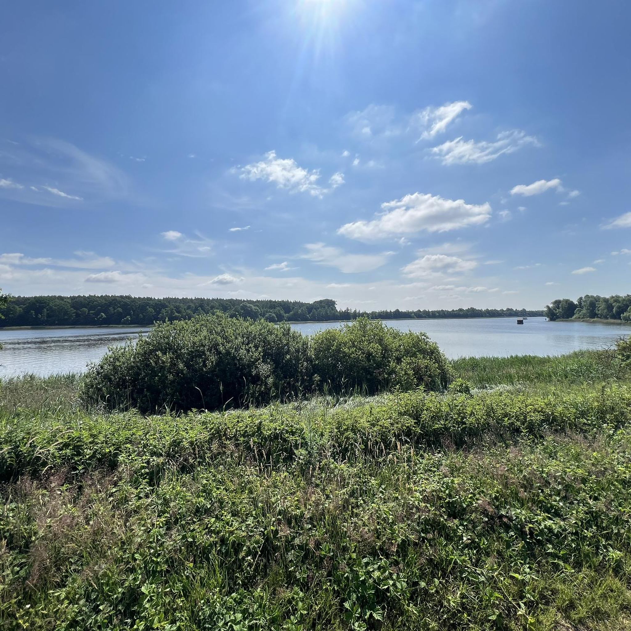
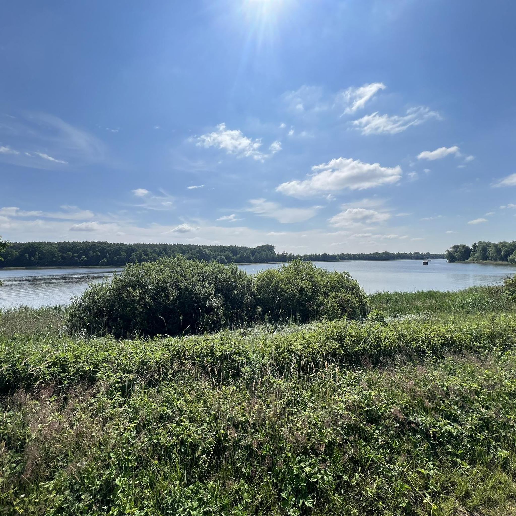
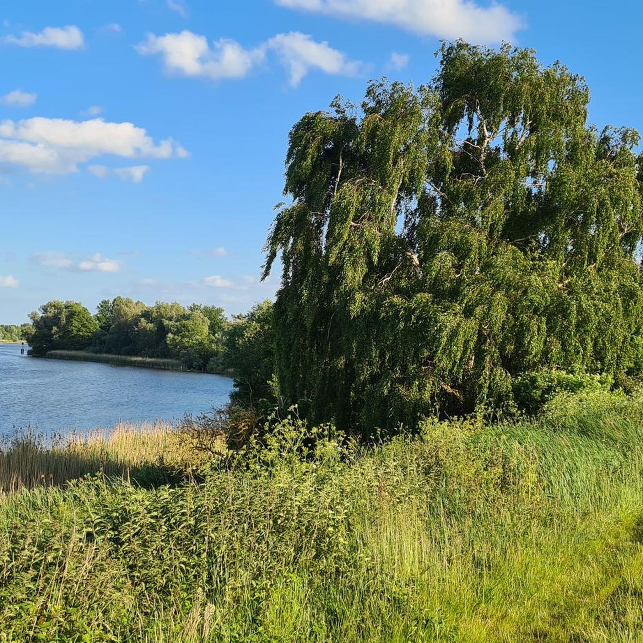
Jogging routes around Müritzarm are set within the expansive Mecklenburg Lake District, offering a diverse landscape shaped by the Weichselian Ice Age. The region features a gently undulating, often flat topography, making it suitable for moderate running without significant elevation changes. Extensive forests, including ancient beech woodlands, cover much of the area, providing shaded paths and a serene environment. Numerous lakes, such as Müritz, Käbelicksee, and Feisnecksee, are interspersed throughout, contributing to varied ecosystems and scenic views for runners.
Best…
Last updated: June 28, 2026
17
runners
Moderate run. Good fitness required. Mostly paved surfaces. Suitable for all skill levels.
4
runners
4.88km
00:32
10m
10m
Easy run. Great for any fitness level. Mostly paved surfaces. Suitable for all skill levels.

Sign up for free
5.0
(8)
58
runners
8.86km
00:55
20m
20m
Moderate run. Good fitness required. Mostly paved surfaces. Suitable for all skill levels.
5.0
(1)
19
runners
8.92km
01:03
30m
30m
Moderate run. Good fitness required. Mostly accessible paths. Some sure footedness required.
5.0
(1)
8
runners
Moderate run. Good fitness required. Mostly paved surfaces. Suitable for all skill levels.
Get access to more routes and recommendations from other explorers.
Sign up for free
Already have an account?
Our route recommendations are based on thousands of hikes, rides, and runs completed by other people on komoot.
Start today with a free account
Your next adventure awaits.
Login or Signup
Tips from the Community

Unfortunately, the tow rope lift no longer exists.
0
0
The Mauerstraße will be renewed in 2026. Worth seeing and knowing.
0
0
Unfortunately no longer there.
0
0

From the early 1950s until the withdrawal of Soviet troops in 1993, the Rechlin Wall divided the town of Rechlin into a Soviet north and a German south. It began as a wooden wall and was later replaced by a wall separating the civilian population from the military area. After the withdrawal of the troops, an approximately 80-meter-long original section of the wall was preserved on Fritz-Reuter-Straße, and the Mauerpark, opening in 2025, commemorates this history of division with a memorial and information panels. A circular path along the former course of the wall, marked by a blue line in the pavement, brings the history to life for visitors and offers insights into the special period of Rechlin's division.
2
0
The Rechlin Wall Memorial is located in the heart of Rechlin. An approximately 80-meter-long section of the former barrier has been preserved there, serving as a reminder of the time when the town was divided by the wall into a Soviet military zone and a civilian zone. Information panels explain the history and illustrate what daily life was like in the divided village. Since 2025, the newly created Wall Park has also been part of the memorial site. A monument was erected there to commemorate the decades-long division of Rechlin. The park combines the historical dimension with a place for contemplation and reflection. A blue line in the town also symbolically marks the course of the former wall. Thus, the memorial is now a central site of remembrance in the Müritz region – it makes a particular chapter of post-war history visible and invites visitors to understand the significance of this division for the village and its inhabitants.
2
1

The wall stood here until 1993 (!!)
2
0
A short detour to the church in Vipperow is worthwhile: This fieldstone building, dating from around 1300, is one of the oldest in the Müritz region. Particularly noteworthy are the late Gothic carved altar, exposed wall paintings depicting scenes from the Last Judgment, and the charming half-timbered tower. The church is quietly located in the village and today also serves as an event venue—an ideal stopover for culture-loving cyclists.
1
0
At the entrance to Rechlin on Müritzstraße stands this striking, abandoned building – the former Soviet officers' mess, also known as "Casino Rechlin." Built in the 1950s in the neoclassical style, it once served as a cultural center, cinema, and meeting place for Soviet air force units stationed in Rechlin until 1993. Since the withdrawal of troops, the building has stood empty and is rapidly deteriorating, but is still protected as a historical monument. With its monumental columned portal and largely untouched ruin aesthetic, it particularly attracts photographers and those interested in lost places. Although the building is not accessible from the outside, it is clearly visible from the outside and a striking witness to Rechlin's military history. In the surrounding area, there are other relics from this period, such as empty officers' quarters and barracks, which also tell a piece of German-Soviet post-war history.
5
0
Frequently Asked Questions
How many running routes are available in Müritzarm?
The Müritzarm region offers a wide selection of running routes, with nearly 80 different trails recorded on komoot. These range from easy loops to more challenging runs, ensuring options for various fitness levels.
What kind of terrain can I expect on jogging routes around Müritzarm?
The terrain around Müritzarm is generally gently undulating and often flat, a result of the Weichselian Ice Age. You'll find extensive forests, including ancient beech woodlands, and paths winding alongside numerous lakes like Müritz, Käbelicksee, and Feisnecksee. This provides a serene environment with varied surfaces, from forest trails to paths near water.
Are there easy running routes suitable for beginners or families in Müritzarm?
Yes, Müritzarm has several easy running options perfect for beginners or families. For instance, the Zartwitzer Mühle loop from Vipperow is a 3.0-mile (4.9 km) trail that leads through forested areas and is often completed in about 32 minutes. Overall, komoot lists 7 easy routes in the area.
Can I bring my dog on the running trails in Müritzarm?
While the Müritz National Park, which borders Müritzarm, is generally dog-friendly, it's essential to keep dogs on a leash to protect the diverse wildlife. Many trails in the broader region are suitable for running with dogs, but always check local signage and regulations, especially within the National Park boundaries, to ensure a pleasant and responsible experience.
Are there any circular running routes in the Müritzarm area?
Yes, many of the running routes in Müritzarm are circular, allowing you to start and end at the same point. A popular example is the Zartwitzer Mühle – Bridge over the Kleine Müritz loop from Vipperow, a moderate 6.9-mile (11.2 km) trail offering scenic views.
What are some notable landmarks or viewpoints I might encounter while running?
While running in Müritzarm, you can enjoy various natural and historical sights. Routes often pass by the expansive lakes and through dense forests. For example, the Rechliner Mauer Memorial – Hafendorf Müritz loop from Rechlin takes you past historical points and the modern Hafendorf Müritz. You might also encounter the Scenic Road Between Vipperow and Lärz, offering picturesque views.
Where can I find parking for the jogging routes in Müritzarm?
Many trailheads in the Müritzarm region, especially near villages like Vipperow and Rechlin, offer designated parking areas. For specific routes, it's advisable to check the route details on komoot, as they often provide information on starting points and available parking facilities.
How can I reach the running trails around Müritzarm using public transport?
The Müritz National Park, adjacent to Müritzarm, is well-equipped with a National Park bus line. This bus service can transport you to various starting points for trails, making it convenient to access different running routes without a car. Check the local bus schedules for connections to villages like Vipperow and Rechlin.
What is the best time of year to go jogging in Müritzarm?
Müritzarm offers excellent jogging conditions throughout much of the year. Spring and autumn provide pleasant temperatures and beautiful scenery with changing foliage or blooming nature. Summer is also popular, with the extensive forests offering shaded paths. The region's diverse ecosystems mean wildlife spotting is possible in all seasons.
Are there places to eat or stay near the running routes in Müritzarm?
Yes, the villages surrounding Müritzarm, such as Vipperow and Rechlin, offer various options for refreshments and accommodation. You can find charming cafes like the Café Loni at the Old Gaarzer Mill or restaurants such as Müritzfischer Waren (Müritz). There are also guesthouses and hotels catering to visitors.
What do other runners say about the jogging experience in Müritzarm?
The running routes in Müritzarm are highly rated by the komoot community, with an average score of 4.3 stars from over 120 reviews. Runners often praise the tranquil atmosphere, the scenic beauty of the lakes and forests, and the well-maintained paths that cater to various ability levels. Over 1400 runners have already explored the area using komoot.
Are there any longer or more challenging running options for experienced runners?
Yes, while the terrain is generally gentle, there are routes that offer a greater distance or slightly more varied elevation for experienced runners. Out of the nearly 80 routes, 8 are classified as difficult and 63 as moderate. These longer trails allow for extended runs through the diverse landscapes of the Mecklenburg Lake District.
Can I expect to see wildlife while jogging in Müritzarm?
Absolutely! The Müritzarm area, especially bordering the Müritz National Park, is a haven for diverse wildlife. Joggers often have the chance to spot sea eagles, ospreys, cranes, and various duck species. The forests are also home to red deer, fallow deer, and raccoons, offering a truly immersive nature experience.
Most popular routes around Müritzarm
Most popular attractions around Müritzarm

Get inspired with the komoot mobile app


Explore more
Browse the best Running Trails & Routes in other regions.
