The best road cycling routes around Wheat Ridge
4.5
(114)
6,476
riders
19
rides
Road cycling routes around Wheat Ridge feature an extensive network of trails and numerous parks, offering diverse terrain for cyclists. The region is characterized by its location near Denver and the Rocky Mountains, providing access to both urban greenbelts and views of the foothills. Clear Creek, a significant waterway, runs through the area, contributing to the scenic beauty and providing a major paved trail for road cyclists. The landscape includes over 20 parks and open spaces, with varied elevations suitable…
Last updated: July 21, 2026
5.0
(2)
89
riders
93.3km
04:54
490m
490m
Moderate road ride. Good fitness required. Mostly well-paved surfaces and easy to ride.
39
riders
Moderate road ride. Good fitness required. Mostly well-paved surfaces and easy to ride.

Sign up for free
5.0
(4)
29
riders
34.6km
01:45
150m
150m
Easy road ride. Great for any fitness level. Mostly well-paved surfaces and easy to ride.
21
riders
104km
05:33
1,700m
1,700m
Hard road ride. Very good fitness required. Some segments of this route may be unpaved and difficult to ride.
5.0
(3)
17
riders
52.3km
02:40
670m
670m
Moderate road ride. Good fitness required. Mostly well-paved surfaces and easy to ride.
Get access to more routes and recommendations from other explorers.
Sign up for free
Already have an account?
Our route recommendations are based on thousands of hikes, rides, and runs completed by other people on komoot.
Start today with a free account
Your next adventure awaits.
Login or Signup
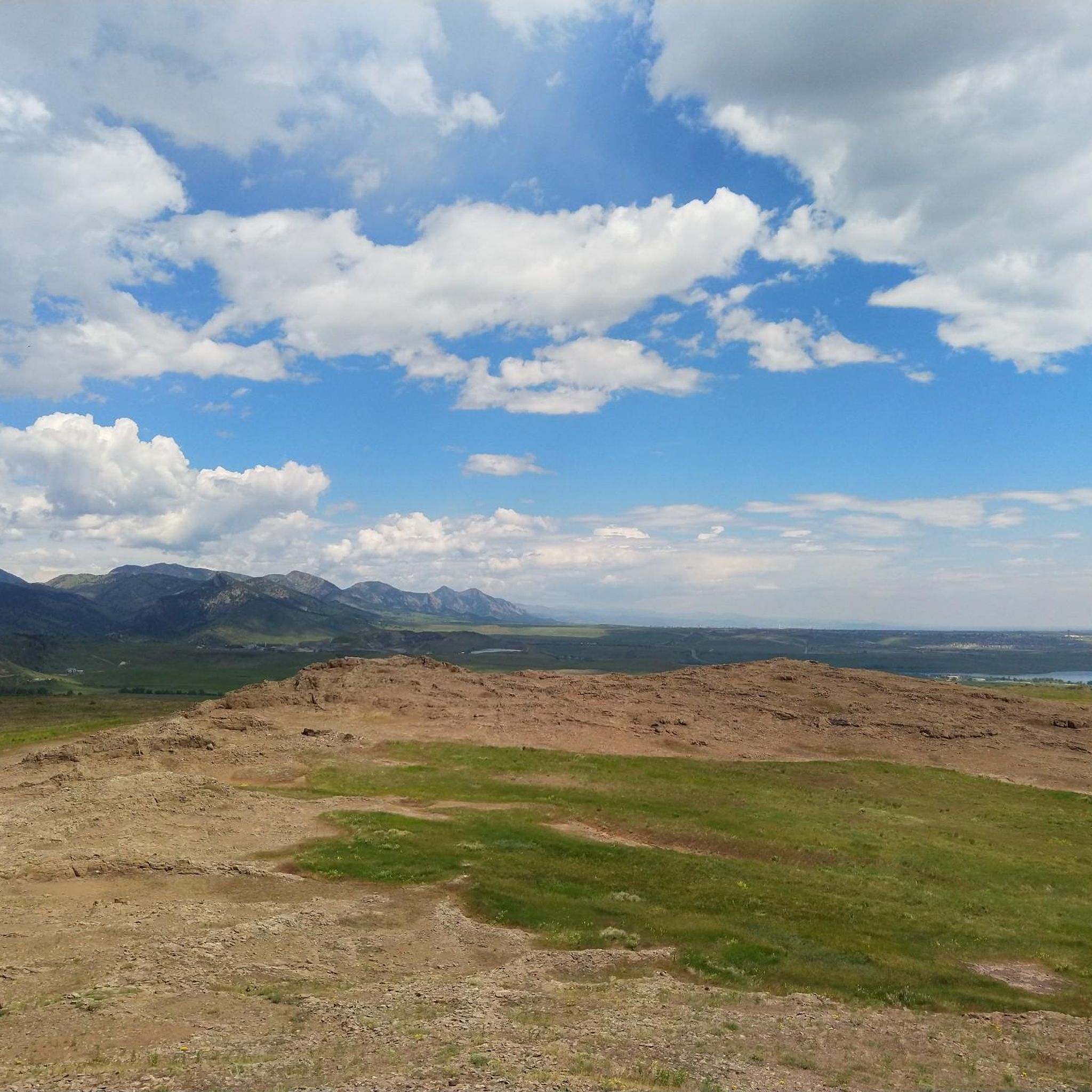
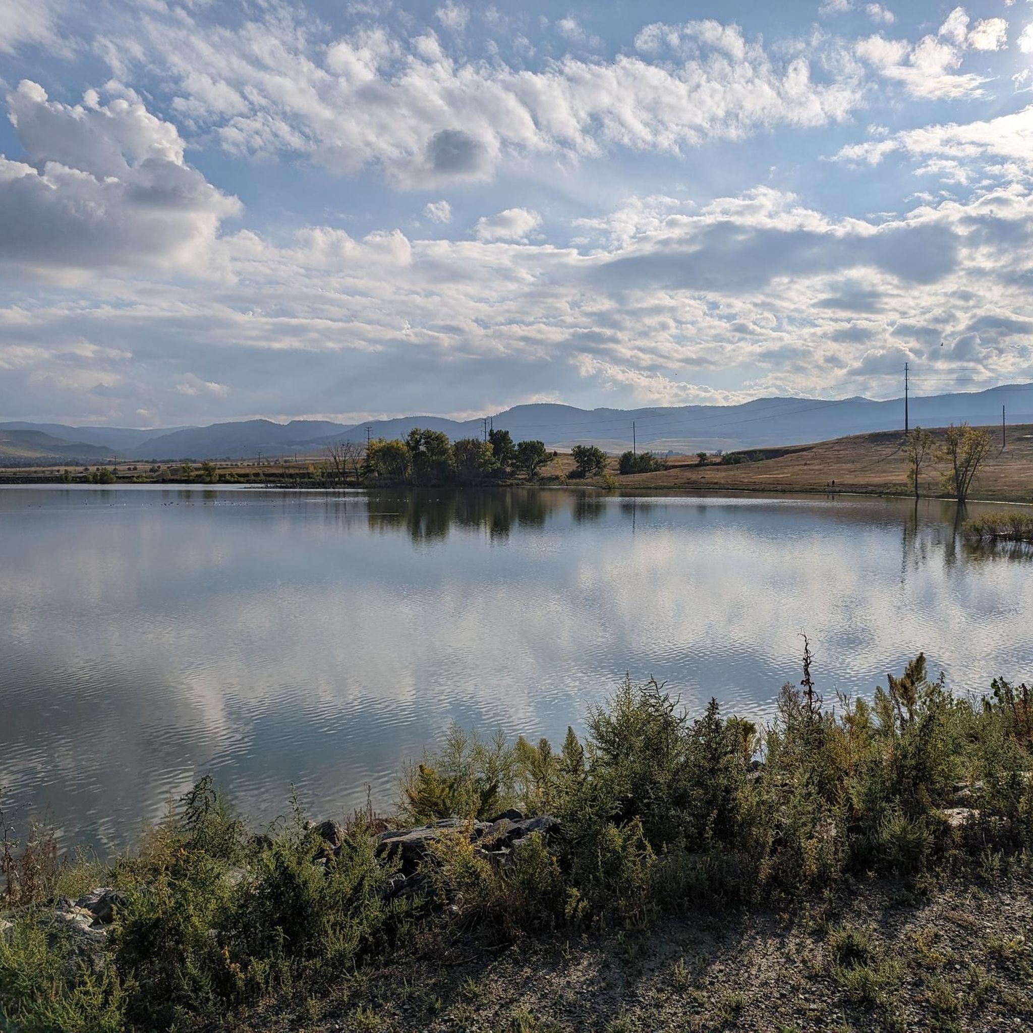
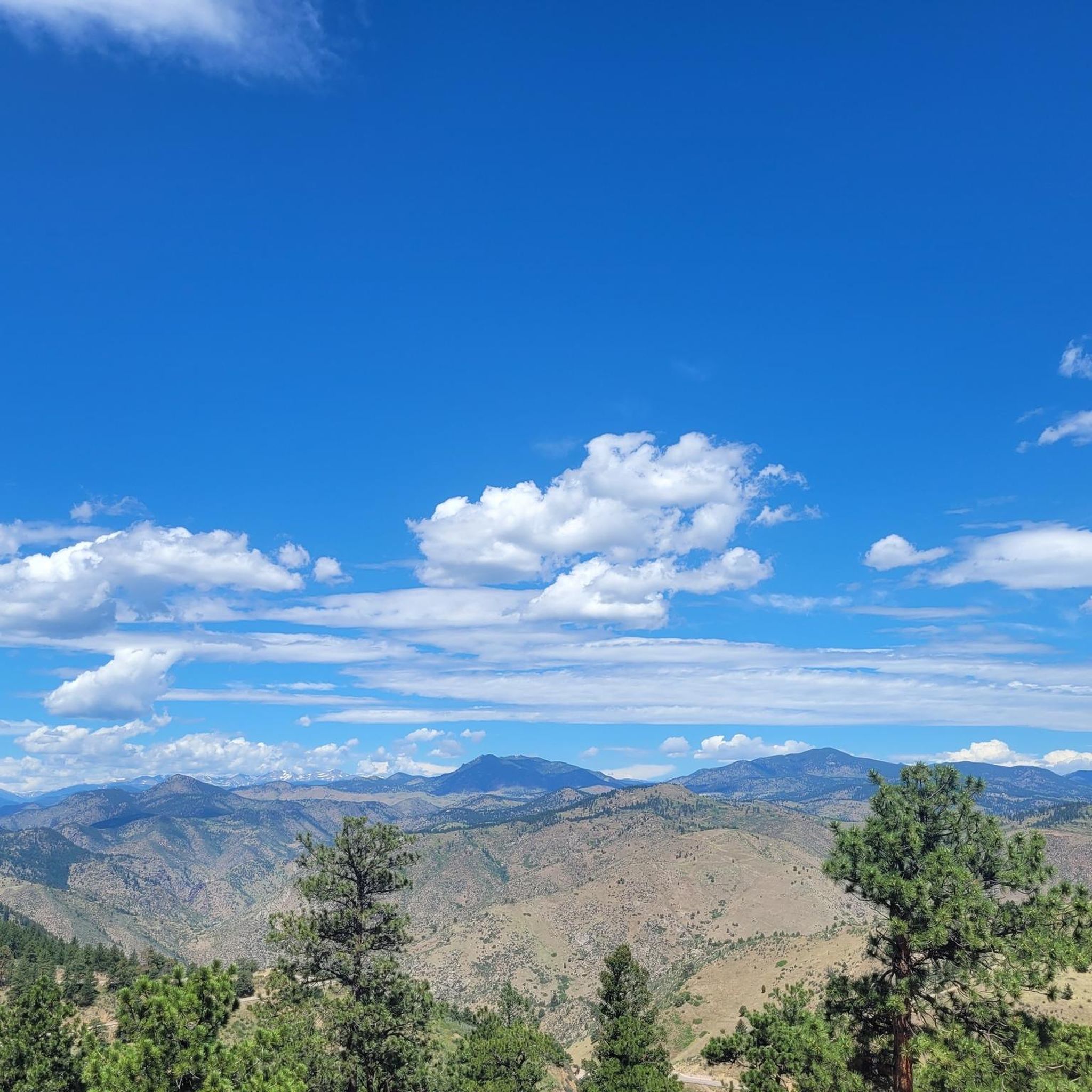

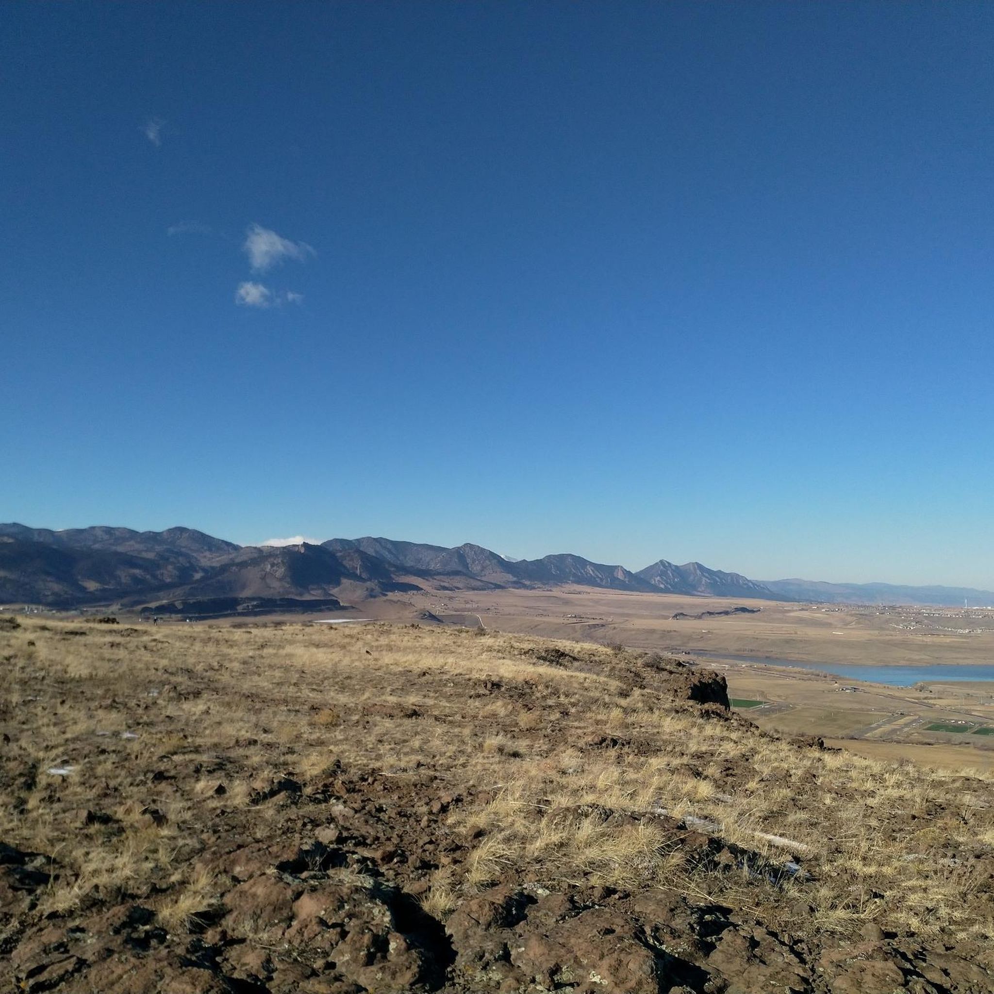
Tips from the Community

Nice spot for a pit stop and just off the Ralston Creek Bike Trail. Nice outside Beer Garden, good selection of taps and reasonably priced pub food.
0
0

Nice and easy ride miss this trail a lot since relocating to Denver
0
0
Great place to check out the crazy history of railroads from Colorado's mining past. Lots of narrow-gauge trains, you can do rides, and the museum building is a replica of an 1880s-style railroad depot.
0
0
Great place for a rest stop, good selection of Colorado micro-brews and often a food truck.
0
0

Tucker Gulch, stretching for about eight miles, plays a significant role as a watershed running from east to west. It cuts through the prairie, situated roughly one mile north of Clear Creek Canyon, and runs parallel to it. The name "Tucker Gulch" is derived from Alfred Tucker, who ran a tollgate within the canyon entrance during the 1860s. Cycling is not allowed here, so you'll have to dismount and walk your bike.
0
0
Tucker Gulch, stretching for about eight miles, plays a significant role as a watershed running from east to west. It cuts through the prairie, situated roughly one mile north of Clear Creek Canyon, and runs parallel to it. The name "Tucker Gulch" is derived from Alfred Tucker, who ran a tollgate within the canyon entrance during the 1860s.
0
0

Alta Vista Drive road passes right next to Gayno Reservoir giving you a great look. Keep your eyes peeled for any bird life that inhabits the area around the body of water.
1
0

Dinosaur Ridge is a great paved trail to bring the kids to. It's closed to cars (save for the dinosaur visitor tour shuttle bus) and has other trails you can wander off on after locking up the bikes. The entirety of the trail is wheel chair accessible with toilets and seating along the way. On the ridge itself, you'll find fossils and educational plaques.
0
0
Frequently Asked Questions
How many road cycling routes are available in Wheat Ridge?
Wheat Ridge offers nearly 20 road cycling routes, catering to various skill levels. You'll find a good mix of easy, moderate, and challenging options to explore the area.
What kind of terrain can I expect on road cycling routes in Wheat Ridge?
The terrain in Wheat Ridge is diverse, ranging from flat, paved trails along waterways like the Clear Creek Trail to routes with significant elevation gain as you approach the foothills of the Rocky Mountains. You can find routes that are mostly flat for a relaxed ride or more challenging options with over 1900 meters of ascent, such as the Bridge into Golden – Clear Creek Trail loop from Wheat Ridge / Ward Road.
Are there any easy or beginner-friendly road cycling routes in Wheat Ridge?
Yes, Wheat Ridge has several easy road cycling routes perfect for beginners or those looking for a relaxed ride. The city's 'Low-Stress Bike Map' highlights routes using trails, protected bike lanes, and quiet streets. An excellent option is the Bridge into Golden – Clear Creek Bridge loop from Wheat Ridge / Ward Road, an easy 20-mile path that offers a pleasant ride along Clear Creek.
What are some scenic viewpoints or natural features to see along the road cycling routes?
Road cycling routes in Wheat Ridge offer access to several scenic spots. You can enjoy views of lakes like Standley Lake, Tabor Lake, and Bass Lake, which are often stocked for fishing. The Clear Creek Trail itself provides picturesque views along the waterway. For a broader perspective, some routes offer glimpses of the Denver skyline, such as from the View of Denver skyline from Sloan's Lake west shore.
Are there challenging road cycling routes for experienced riders near Wheat Ridge?
Absolutely. For experienced riders seeking a challenge, routes like the Bridge into Golden – Clear Creek Trail loop from Wheat Ridge / Ward Road offer significant elevation gain, with over 1900 meters of ascent over 92 kilometers. These routes provide a demanding workout and often lead into the foothills, offering stunning views.
What do other road cyclists enjoy most about road cycling in Wheat Ridge?
The road cycling routes in Wheat Ridge are highly rated by the komoot community, with an average score of 4.5 stars from over 40 reviews. Cyclists often praise the extensive network of trails, the scenic beauty of the Clear Creek waterway, and the variety of routes that cater to different ability levels, from easy paved paths to more challenging rides into the foothills.
Are there any long-distance road cycling routes available?
Yes, Wheat Ridge offers several long-distance road cycling routes. For example, the Clear Creek, South Platte River & Bear Creek Trail Loop covers approximately 58 miles (93 km), connecting multiple major waterways and green spaces. Another option is the Coal Creek Trail – Walnut Creek Open Space loop from Wheat Ridge / Ward Road, which is about 56 miles (90 km) long.
Are there loop road cycling routes in Wheat Ridge?
Many of the popular road cycling routes in Wheat Ridge are designed as loops, offering a convenient way to start and end your ride in the same location. Examples include the Bridge into Golden – Clear Creek Bridge loop from Wheat Ridge / Ward Road and the Bridge into Golden – Bear Creek Lake loop from Wheat Ridge / Ward Road.
What is the best time of year for road cycling in Wheat Ridge?
Road cycling in Wheat Ridge is popular throughout much of the year, with many routes being particularly enjoyed in June and July. The region's climate generally allows for pleasant riding conditions across multiple seasons, though it's always wise to check local weather forecasts, especially for winter conditions or summer heat.
Are there family-friendly road cycling options in Wheat Ridge?
Wheat Ridge is well-suited for family cycling, especially on its extensive network of paved trails. The Clear Creek Trail, with its significant seven-mile section through Wheat Ridge, is a great option for families due to its flat, accessible nature. The city also provides a 'Low-Stress Bike Map' to help identify routes suitable for all ages and abilities, utilizing trails and quiet streets.
Where can I find parking for road cycling routes in Wheat Ridge?
Many of Wheat Ridge's parks and open spaces, which serve as access points to the trail network, offer parking facilities. For instance, Crown Hill Park and Anderson Park are key access points to the Greenbelt and Clear Creek Trail, and typically provide parking. Prospect Park also has amenities including a motorhome park and campground, which may offer parking options.
Can I access road cycling routes in Wheat Ridge using public transport?
Wheat Ridge's proximity to Denver and its well-developed infrastructure mean that some areas and trailheads may be accessible via public transport. The Clear Creek Trail, a major cycling artery, runs through the city and connects to wider regional networks, potentially offering public transport access points.
Most popular routes around Wheat Ridge
Most popular attractions around Wheat Ridge

Get inspired with the komoot mobile app


Explore more
Browse the best Road cycling routes in other regions.
