The best MTB trails around Divide
5.0
(1)
22
riders
4
rides
Mountain biking around Divide offers routes through the varied terrain of the Colorado Front Range. The region features a mix of forested areas, open ranchlands, and elevated trails providing views of the surrounding landscape. Mountain bike trails in Divide often include ascents and descents, characteristic of the Rocky Mountain foothills. The area provides opportunities for different skill levels, from moderate paths to more advanced routes.
Best mountain bike trails around Divide
- The most popular mountain bike trail is Signal Butte Trail 717 Loop, a 24.0 miles (38.7 km) trail that takes 3 hours 52 minutes to complete. This moderate route offers extensive riding through varied terrain.
- Another top favourite among local mountain bikers is Cheesman Ranch Loop, a moderate 9.7 miles (15.6 km) path. This route navigates through ranchland and offers a balanced riding experience.
- Local mountain bikers also love the Catamount Reservoir Beach loop from North Catamount Dam, a 9.0 miles (14.6 km) trail leading through forested areas and along reservoir shores, often completed in about 1 hour 25 minutes.
- Mountain biking around Divide is defined by high-altitude forests, open ranchlands, and reservoir views. The network offers options for different ability levels, from easier loops to advanced mountain bike routes near Divide.
- The routes in Divide are highly rated by the komoot community with an average score of 5.0 stars from 1 review. More than 20 mountain bikers have used komoot to explore Divide's varied terrain.
Last updated: June 24, 2026
5.0
(1)
4
riders
15.6km
01:33
320m
330m
The Cheesman Ranch Loop offers a delightful mountain biking experience through Mueller State Park, winding past historic ranch buildings and the prominent Buffalo Rock. You'll pedal through a mix of aspen and pine groves, opening into wide grassy meadows, with the added bonus of beautiful views of Pikes Peak. This moderate 9.7-mile (15.6 km) route features 1066 feet (325 metres) of elevation gain, making for a good workout that can be completed in about 1 hour and 33 minutes.
Planning your ride requires a daily entrance fee or a Colorado State Parks pass to access Mueller State Park. The trail is open to all park visitors, including hikers and horseback riders, so be mindful of others on the path. Arriving earlier in the day is often best to ensure parking and enjoy the tranquility of the park before it gets busy.
Beyond the scenic beauty, the trail provides opportunities for wildlife spotting, with elk, black bear, hawks, and mule deer known to inhabit the area. The terrain is primarily doubletrack with some gravel and rock garden sections, offering a diverse ride that's more about physical effort than technical skill. It's a fantastic option for those seeking a rewarding ride with varied landscapes and historical touches.
2
riders
14.2km
02:02
290m
290m
The Elder-Fehn and Catamount Trail Loop offers a fantastic mountain biking adventure, immersing you in the scenic beauty of Colorado's pine and aspen forests. As you navigate the singletrack, you'll be treated to breathtaking views of Pikes Peak and the serene North Catamount Reservoir. Expect a mix of smooth sections and some short, steep climbs, with roots adding to the technical challenge, making it a truly engaging ride.
This difficult 8.8-mile (14.2 km) loop involves 944 feet (288 metres) of elevation gain and typically takes about 2 hours and 2 minutes to complete. Given the consistent elevation above 9,200 feet, it's wise to be acclimatized and check weather forecasts before you go. Parking is generally available near the trailhead, but arriving early is always a good strategy, especially during peak season.
What sets this route apart is its integration into the larger Ring-the-Peak loop, offering flexibility for longer rides or variations. The area is also known for its abundant trout in the reservoirs, adding another layer of natural appeal. This trail is perfect for mountain bikers seeking a challenging workout combined with iconic Colorado mountain scenery.

Sign up for free
38.7km
03:53
820m
820m
The Signal Butte Trail 717 Loop offers a dynamic mountain biking adventure through Pike National Forest, showcasing scenic views of Pikes Peak and Signal Butte. You'll ride through a mix of open, desert-like burn scar areas and more sheltered wooded spots, encountering diverse terrain that keeps things interesting. Expect a varied experience, from generally easy sections to trickier parts with soft sand, boulders, and water crossings, making it a good fit for riders seeking a challenge beyond beginner routes.
Planning your ride on this 24.0-mile (38.7 km) loop, which features 2677 feet (816 metres) of elevation gain and typically takes around 3 hours and 52 minutes, is straightforward. The trail is accessible year-round from trailheads like Signal Butte, Phantom Creek, and Rural Ridge, though conditions vary greatly with the seasons. Be aware that this is a multi-use trail, so you'll be sharing it with dirt bikes, ATVs, and side-by-sides, requiring constant awareness of bi-directional traffic.
Rated as moderate, the Signal Butte Trail 717 Loop is particularly notable for its varied terrain, which includes numerous "whoops" and significant elevation changes, providing a workout for intermediate riders. While some sections are quite easy, the eastern side presents more technical challenges, including soft ground and rocky patches, though bypasses are often available. The trail's year-round accessibility and the option for no-impact camping make it a versatile choice for a longer outing.
8
riders
The South Catamount Reservoir Dam – Catamount Reservoir Beach loop offers a fantastic mountain biking adventure, winding through pine and aspen forests with continuous views of the North and South Catamount Reservoirs. You'll navigate a mix of gravel roads and extensive singletrack, often with the majestic Pikes Peak as your backdrop. This difficult 9.3-mile (14.9 km) route features 773 feet (236 metres) of elevation gain, taking about 1 hour and 27 minutes, and is best suited for riders with solid fitness looking for a rewarding challenge.
Planning your ride on this North Slope Recreation Area mountain biking trail means aiming for the window between May and October, as winter conditions typically close it down. Be aware that the South Catamount Reservoir Dam was slated for rehabilitation in 2024-2025, which might impact parts of the trail. Since it's a multi-use system, always be courteous to hikers sharing the path.
This loop is a highlight within the Pikes Peak North Slope Recreation Area, an important part of Colorado Springs' drinking water system, situated at over 9,200 feet. A portion of the route even connects to the larger "Ring-the-Peak" trail network, offering a glimpse into a vast regional system. You'll also pass the historic South Catamount Reservoir Dam, constructed in 1936, adding a touch of history to your ride.
8
riders
The Catamount Reservoir Beach – Blue River Trail Turnaround loop offers a captivating mountain biking experience, winding through diverse terrain from singletrack to gravel roads. You'll be treated to continuous, stunning vistas of Pikes Peak and the surrounding pine and aspen forests, all while skirting the picturesque North and South Catamount Reservoirs. The route includes a unique beach area at the Blue River Trail Turnaround, providing a scenic spot to pause and take in the high-alpine beauty. It's an easy 9.2-mile (14.8 km) ride with 771 feet (235 metres) of elevation gain, typically taking about 1 hour and 26 minutes, making it ideal for intermediate riders seeking rewarding views without extreme technical demands.
Planning your visit requires checking seasonal access, as the area is generally closed from December to April, with gates potentially closed between October 1st and May 1st. Access is via Edlowe Road or the Pikes Peak Highway, which may incur a fee. Since the entire trail is above 9,200 feet in elevation, be prepared for thinner air and ensure you carry enough water. Remember that some sections are multi-use, so you'll be sharing the trail with hikers.
This loop is integrated into the larger "Ring-the-Peak" trail system, showcasing the region's extensive network of trails. While the trail offers a beach area at the reservoir, swimming is strictly prohibited in Catamount Reservoir. The varied terrain, from rooted singletrack to smoother dirt roads, combined with the consistent high-alpine views, makes this a standout mountain biking destination in the Colorado Springs area.
Our route recommendations are based on thousands of hikes, rides, and runs completed by other people on komoot.
Start today with a free account
Your next adventure awaits.
Login or Signup
Popular around Divide
Tips from the Community

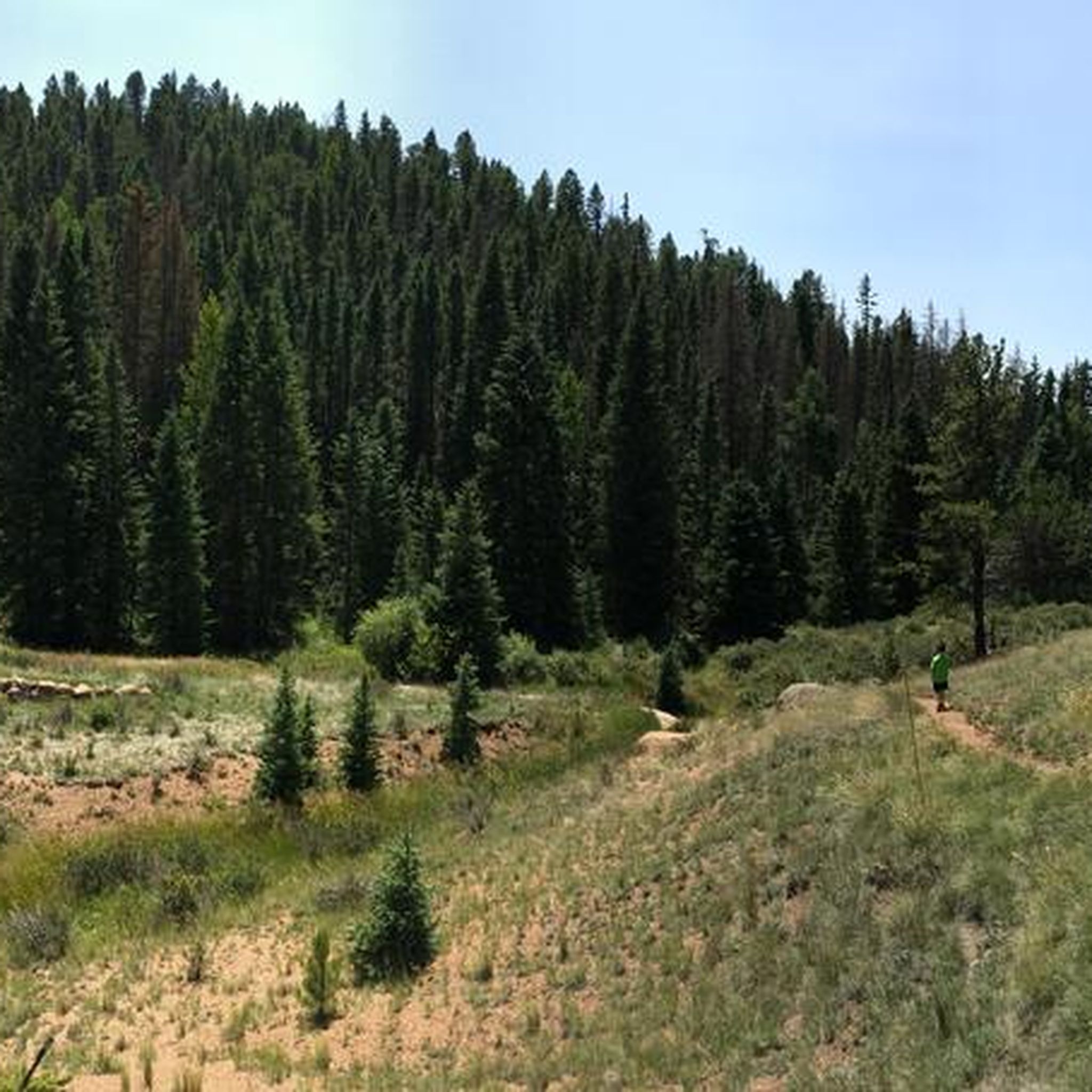
Elk Meadow Trail is a popular trail through Mueller State Park. It is not a very challenging trail, but it is common to see wildlife along the path.
0
0

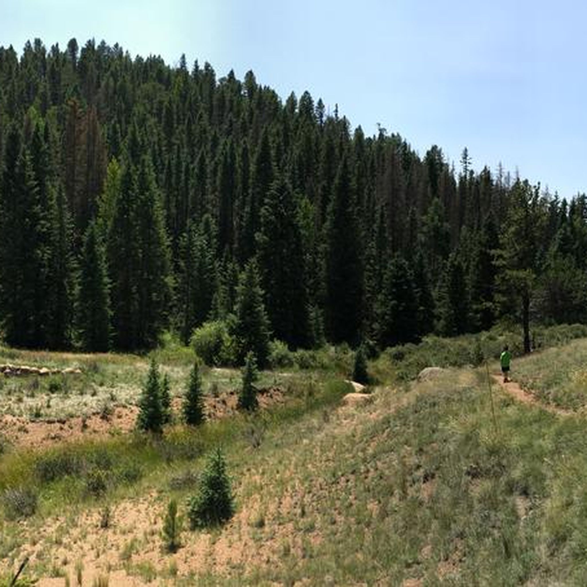
A visit to the area would not be complete without a trip to Mueller State Park. Also popular with hikers, it is a wildlife spotters paradise with elk, black bear, hawks and mule deer all calling it their home. There are abundant views of the west of Pikes Peak and camp grounds if you are looking to stay the night.
0
0
This beach area has a little turnaround at the end. It is nice to ride down to the water's edge and stop for a bite to eat or a snooze. Please note, swimming is not allowed in Catamount Reservoir.
0
0
Also a popular hiking and boating spot, North Catamount Reservoir is the biggest of the three lakes here. In the shadow of Pikes Peak, it is a wonderful place to get away from everything and immerse yourself in nature.
0
0
A visit to the area would not be complete without a trip to Mueller State Park. Popular with hikers, it is a wildlife spotters paradise with elk, black bear, hawks and mule deer all calling it their home. There are abundant views of the west of Pikes Peak and campgrounds if you are looking to stay the night.
1
1

The Signal Butte trail, located at the northern edge of the 717 area, provides convenient access points via several multi-use trails connected to this circuit. It caters to all skill levels and is a well-liked doubletrack trail
0
0

This dam was built in 1936 and is one of three dams in the immediate area. South Catamount Reservoir will go into a scheduled rehabilitation of the dam in 2024-2025, which could impact some recreation activities in the area, like hiking.
0
0
This beach area can be reached on foot or off road vehicle, with a little turnaround at the end. Swimming is prohibited in Catamount Reservoir.
0
0
Frequently Asked Questions
What types of mountain bike trails can I find around Divide?
The Divide area offers a diverse range of mountain bike trails, characterized by the Colorado Front Range's varied terrain. You'll find routes through forested areas, open ranchlands, and elevated trails with scenic views. The trails often feature ascents and descents typical of the Rocky Mountain foothills, catering to different skill levels.
Are there mountain bike trails suitable for beginners or families in Divide?
While many trails in Divide present a moderate to difficult challenge, there are options that can be enjoyed by those looking for a less strenuous ride. For example, the Catamount Reservoir Beach loop from North Catamount Dam is rated as easy and offers a pleasant 9.0-mile ride along reservoir shores, which could be suitable for families with some biking experience.
What are some challenging mountain bike routes near Divide?
For experienced riders seeking a challenge, Divide offers several difficult routes. The Elder-Fehn and Catamount Trail Loop is a difficult 8.8-mile route, and the Catamount Reservoir Beach loop from North Slope Recreation Area, also rated difficult, covers 9.1 miles with significant elevation changes.
Are there any long-distance mountain bike trails in the Divide area?
Yes, for those looking for a longer ride, the Signal Butte Trail 717 Loop is a substantial option, spanning 24.0 miles (38.7 km). This moderate route provides extensive riding through varied terrain and typically takes nearly 4 hours to complete.
Are there any loop mountain bike trails around Divide?
Many of the mountain bike trails in Divide are designed as loops, offering a continuous riding experience. Popular loop options include the Cheesman Ranch Loop, the Signal Butte Trail 717 Loop, and the Elder-Fehn and Catamount Trail Loop, among others.
What is the best time of year for mountain biking in Divide, Colorado?
The prime season for mountain biking in Divide typically runs from late spring through early fall (May to October). During these months, the weather is generally favorable, and trails are free of snow. Always check local trail conditions before heading out, especially in shoulder seasons, as higher elevations can retain snow longer.
Are there any scenic viewpoints or natural attractions along the mountain bike trails?
Yes, the Divide area offers several points of interest. You might encounter scenic spots like Lone Eagle Overlook, offering expansive views. The trails also pass through areas like Mueller State Park, known for its forests, and near bodies of water such as Lost Pond and the Catamount Reservoirs, providing picturesque backdrops for your ride.
What kind of wildlife might I encounter while mountain biking in Divide?
The diverse ecosystems around Divide are home to various wildlife. Riders might spot deer, elk, and a variety of bird species. Keep an eye out for smaller mammals like squirrels and chipmunks. As with any outdoor activity in Colorado, be aware of your surroundings and respect wildlife from a distance.
What do other mountain bikers say about the trails in Divide?
The mountain biking routes in Divide are highly regarded by the komoot community, holding an average score of 5.0 stars from reviews. Riders often praise the varied terrain, the opportunities for extensive riding, and the scenic beauty of the high-altitude forests, open ranchlands, and reservoir views.
Are permits required for mountain biking on trails near Divide?
While many trails in the Divide area are publicly accessible, specific areas like Mueller State Park or certain private lands may require permits or day-use fees. It's always advisable to check with the relevant land management agencies (e.g., State Parks, National Forests) for the most current information regarding permits or fees before your ride.
Where can I find parking for mountain biking trails in the Divide area?
Parking availability varies by trailhead. Many popular trailheads, especially those associated with state parks or designated recreation areas like the North Slope Recreation Area, typically offer dedicated parking lots. It's recommended to check specific route details or local park websites for precise parking information before you go.
Most popular routes around Divide
Most popular attractions around Divide

Get inspired with the komoot mobile app


Explore more
Browse the best MTB trails in other regions.
