The best cycling routes around Divide
7
riders
6
rides
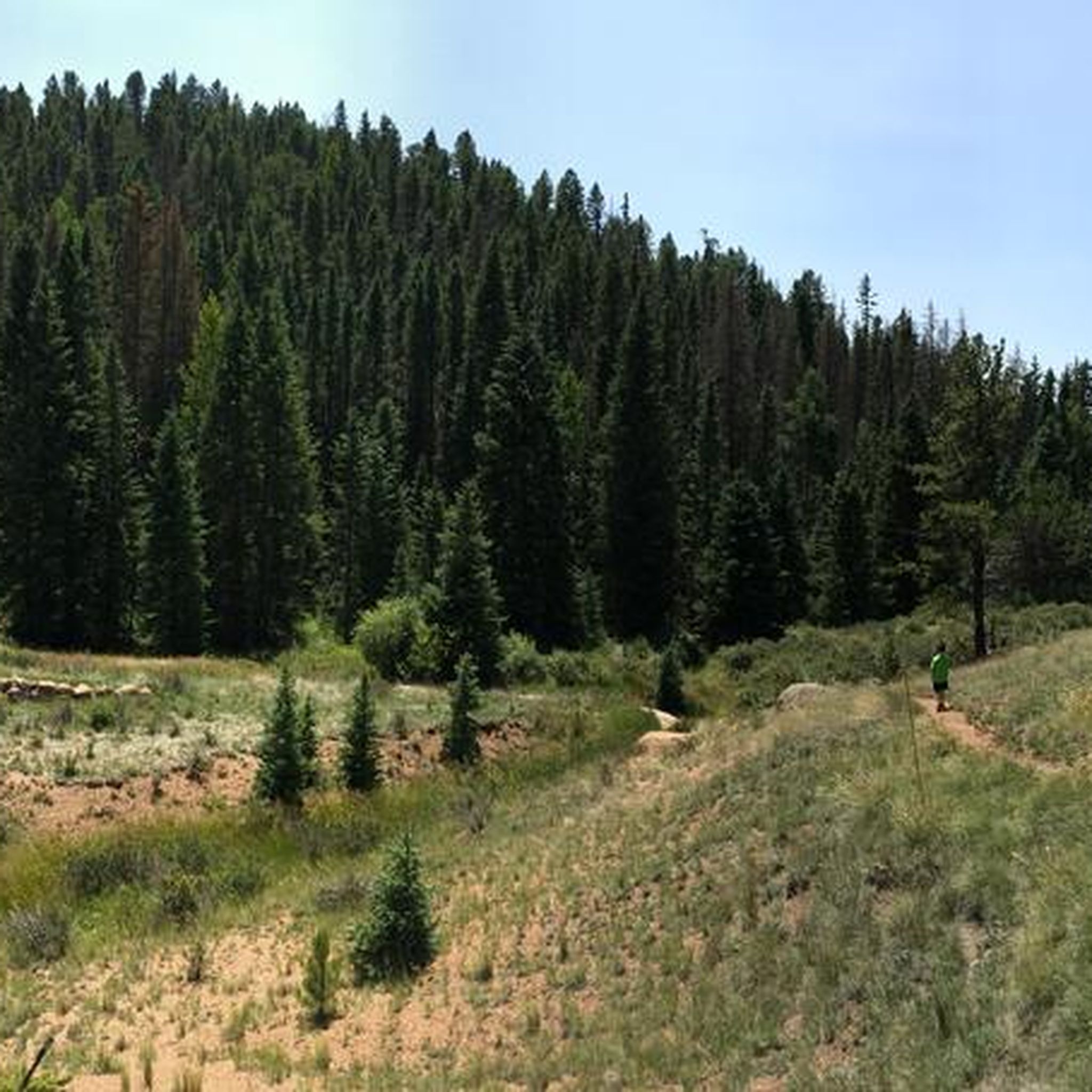
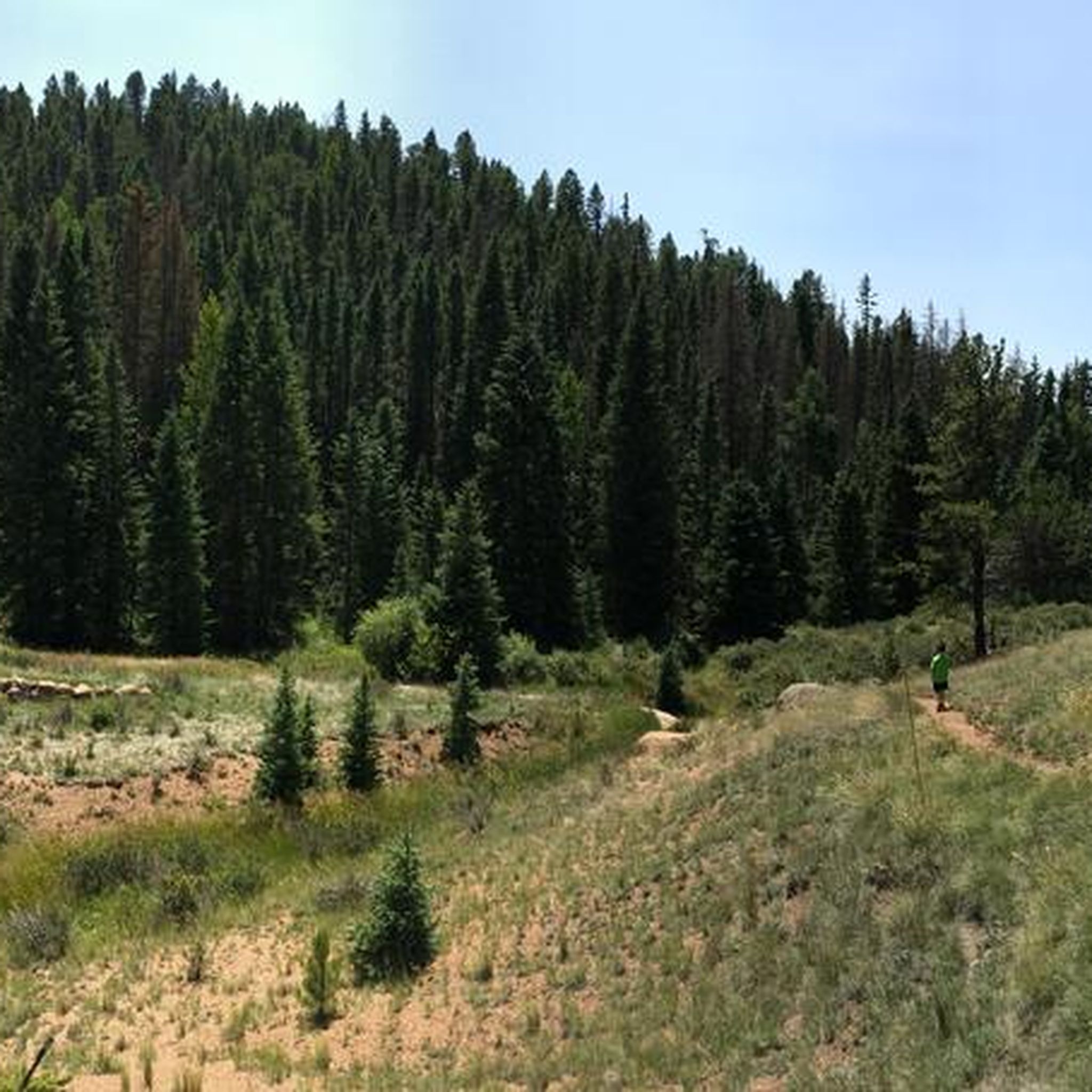
Touring cycling routes around Divide, Colorado, are situated at a high altitude, positioned atop the 9,165-foot Ute Pass on the north slope of Pikes Peak. The region features a diverse landscape of mountains, forests, and meadows, providing varied terrain for cycling. Routes often include significant elevation changes and offer views of the Rocky Mountains. This area serves as a base for exploring both challenging mountain ascents and more moderate routes through scenic areas.
Best touring cycling routes around Divide
- The…
Last updated: September 28, 2026
11.3km
00:32
30m
240m
The Ute North Trail Road Biking Route provides an easy touring cycling experience, perfect for a quick outing. You will cover 7.0 miles (11.3 km) with a gentle elevation gain…
73.6km
05:09
1,210m
1,210m
Embark on the Florissant & Divide loop from Cripple Creek, a difficult touring cycling route that challenges you with 3961 feet (1207 metres) of elevation gain over 45.8 miles (73.6…

60.1km
04:09
750m
750m
A difficult 37.4-mile touring cycling loop from Woodland Park, featuring significant climbs and views of Pikes Peak and Florissant Fossil Be
53.0km
03:46
710m
710m
This difficult 33.0-mile touring cycling route from Woodland Park to Mueller State Park features 2341 feet of gain and stunning mountain vie
6
riders
Moderate bike ride. Good fitness required. Mostly paved surfaces. Suitable for all skill levels.
Our route recommendations are based on thousands of hikes, rides, and runs completed by other people on komoot.

Tips from the Community

Ute Pass is a mountain pass that runs between Divide and Manitou Springs. Native American tribes first used the pass for travel and hunting, and later it was used by early European-American settlers during the Colorado Gold Rush. Today, it is a scenic area to bike, hike, and drive. The pass brings visitors to an elevation of 9,163 feet.
0
0

Known in the late 19th century as 'the world's greatest gold camp', Cripple Creek sprang to life when gold was discovered here in 1890. At its height, it was home to over 500 mines. It is now famous for its both historic and new casinos. You'll find plenty of places to eat, drink and stay in the city.
0
0
Between the corner with Blossom Road in the north and the US 24 in the south, the surface is gravel. If travelling north to south, the road winds through the forest before popping out into a wide open view towards Raspberry Mountain.
0
0
Linking almost the entire way between Divide and Woodland Park, the Utn Pass Trail offers an alternative way to travel between the two settlements without riding on the road. It's a little more technical than hardpacked gravel so do make sure your bike is capable of riding off road if you plan to use this stretch of trail.
0
0
A visit to the area would not be complete without a trip to Mueller State Park. Also popular with hikers, it is a wildlife spotters paradise with elk, black bear, hawks and mule deer all calling it their home. There are abundant views of the west of Pikes Peak and camp grounds if you are looking to stay the night.
0
0
This beach area has a little turnaround at the end. It is nice to ride down to the water's edge and stop for a bite to eat or a snooze. Please note, swimming is not allowed in Catamount Reservoir.
0
0
A visit to the area would not be complete without a trip to Mueller State Park. Popular with hikers, it is a wildlife spotters paradise with elk, black bear, hawks and mule deer all calling it their home. There are abundant views of the west of Pikes Peak and campgrounds if you are looking to stay the night.
1
1
Known in the late 19th century as 'the world's greatest gold camp', Cripple Creek sprang to life when gold was discovered here in 1890. At its height it was home to over 500 mines. It is now famous for its both historic and new casinos. You'll find plenty of places to eat, drink and stay in the city.
0
0
Frequently Asked Questions
How many touring cycling routes are available in Divide?
There are 6 touring cycling routes around Divide, Colorado, offering a variety of experiences. These include 1 easy route, 2 moderate routes, and 3 difficult routes, catering to different skill levels.
What is the best time of year for touring cycling in Divide?
The best time for touring cycling in Divide is generally during the warmer months, from late spring through early fall. Due to its high altitude (9,165 feet), cyclists should be prepared for rapidly changing weather conditions, even in summer, and cooler temperatures. Some routes or higher elevations may be inaccessible due to snow in winter.
Are there routes suitable for beginners or families in Divide?
Yes, there is an easy touring cycling route suitable for beginners or families. The Ute North Trail Road Biking Route is 7.0 miles (11.3 km) long, features mostly paved surfaces, and has minimal elevation gain, making it a great option for a more relaxed ride.
What are the most challenging touring cycling routes in the Divide area?
For experienced cyclists seeking a challenge, Divide offers several difficult routes. The Florissant & Divide loop from Cripple Creek is a demanding 45.8 miles (73.6 km) route traversing historic mining country. Another challenging option is the Divide & Florissant loop from Woodland Park, which covers 60.1 miles (96.7 km) with significant elevation changes.
Are there any circular touring cycling routes around Divide?
Yes, several circular touring cycling routes are available. Examples include the challenging Florissant & Divide loop from Cripple Creek and the Ute Pass Trail loop from Sudholt Number 1 Dam, which is a moderate 10.5 miles (16.8 km) ride through the scenic Ute Pass area.
What natural attractions or landmarks can I see along touring cycling routes in Divide?
The routes around Divide offer access to various natural attractions. You can pass by Mueller State Park, known for its aspen groves and sweeping views. The Florissant & Divide loop from Cripple Creek passes by the Florissant Fossil Beds National Monument. Other nearby points of interest include Lost Pond and Crazy Gulch.
Are there any scenic viewpoints on the touring cycling routes?
Yes, the region around Divide is known for its scenic beauty. Many routes offer breathtaking views of the Rocky Mountains. A notable viewpoint is Lone Eagle Overlook, which provides expansive vistas. The high-altitude location atop Ute Pass also ensures picturesque backdrops throughout your ride.
Can I cycle the Pikes Peak Highway from Divide?
While not directly from Divide, the Pikes Peak Highway is a significant challenge for experienced touring cyclists in the region. It's a fully paved route to the 14,115-foot summit, ascending over 4,800 vertical feet. Cyclists must pay an admission fee and be prepared for heavy traffic and rapidly changing weather. More information can be found at visitcos.com.
Are there any fees or permits required for cycling in the Divide area?
Accessing certain areas may require fees. For example, Mueller State Park, which has designated trails for bicyclists, requires an entrance fee. Similarly, cycling the Pikes Peak Highway involves an admission fee. Always check the specific requirements for the area you plan to cycle.
What should I be aware of regarding the high altitude when cycling in Divide?
Divide is situated at 9,165 feet (Ute Pass), so cyclists should be prepared for the demands of high elevation. This means cooler temperatures, thinner air, and the potential for rapid weather changes. It's advisable to acclimatize, stay hydrated, and carry appropriate gear for varying conditions.
What do other touring cyclists say about the routes in Divide?
The touring cycling routes around Divide are highly rated by the komoot community, with an average score of 4.0 stars from more than 1 review. Cyclists often praise the diverse landscape, including mountains, forests, and meadows, as well as the variety of routes available for different ability levels.
Where can I find parking for touring cycling routes in Divide?
Parking availability varies by route and specific starting points. For routes within Mueller State Park, designated parking areas are available at the park entrances. For other routes, such as those starting from Cripple Creek or Woodland Park, you would typically find parking within those towns or at specific trailheads. Always check the route details for recommended parking locations.
Are there places to eat or stay near the cycling routes in Divide?
Divide and nearby towns like Woodland Park and Cripple Creek offer various amenities for cyclists. You can find cafes, pubs, and accommodation options in these areas. It's a good idea to plan your route to pass through or end near these towns for convenient access to food and lodging.
Most popular routes around Divide
Most popular attractions around Divide

Get inspired with the komoot mobile app


Explore more
Browse the best Cycling routes in other regions.
