The best MTB trails around Weatogue
4.0
(1)
86
riders
5
rides
Mountain biking around Weatogue, located within Simsbury, Connecticut, offers diverse landscapes and extensive trail networks. The region features a mix of hilly and rugged terrain, including traprock ridges and river valleys, providing varied conditions for mountain biking. State parks such as Penwood State Park and Talcott Mountain State Park contribute to a wide range of trails, from easy paths to more challenging routes. This area is known for its technical and rocky mountain biking terrain, catering to various skill levels.
…Last updated: July 12, 2026
5.98km
00:28
110m
100m
Explore Penwood State Park on this easy 3.7-mile loop, offering forest views and an elevation gain of 352 feet, designated for foot travel.
4.0
(1)
45
riders
17.0km
01:34
240m
240m
Hard mountain bike ride. Great for any fitness level. Advanced riding skills necessary. Some portions of the route may require you to push your bike.

Sign up for free
18
riders
7.28km
00:36
40m
40m
The Dunning Lake loop offers a delightful mountain biking experience within the Winding Trails Recreation Area, guiding you through a landscape rich with diverse tree species like red oak, white…
9
riders
21.4km
01:47
290m
290m
Moderate mountain bike ride. Great for any fitness level. Advanced riding skills necessary.
7
riders
Moderate mountain bike ride. Great for any fitness level. Advanced riding skills necessary.
Our route recommendations are based on thousands of hikes, rides, and runs completed by other people on komoot.
Start today with a free account
Your next adventure awaits.
Login or Signup


Tips from the Community

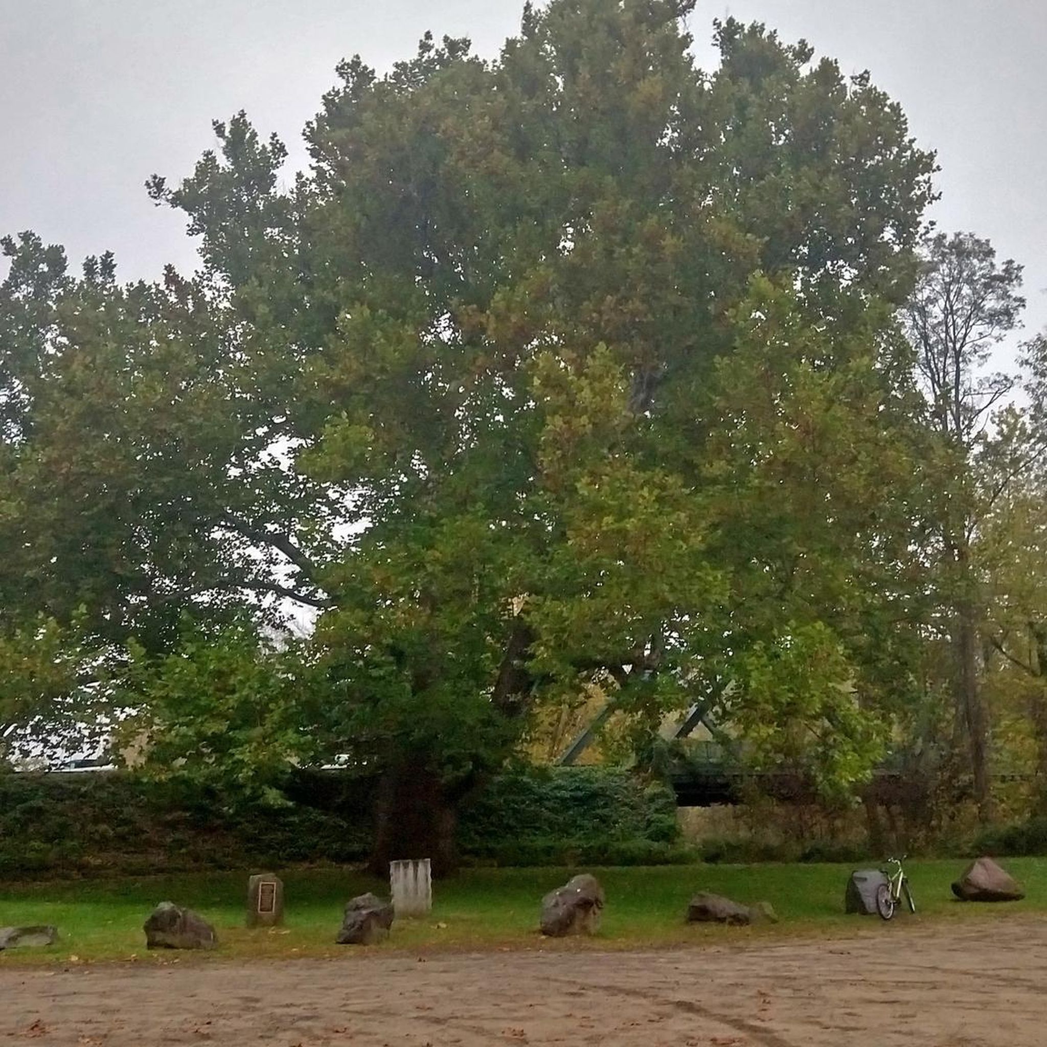
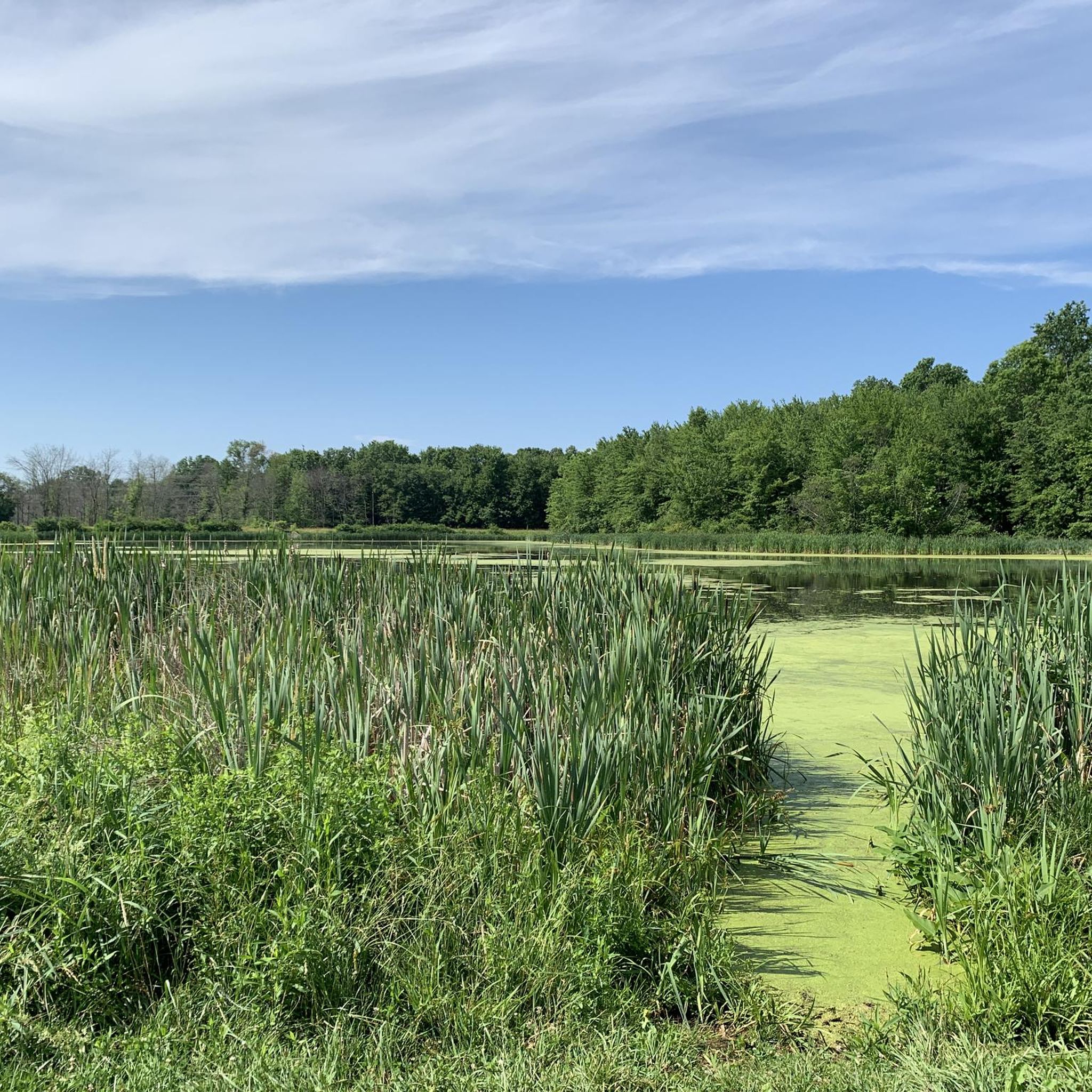
Reservoir #3 has a paved path that runs alongside it, so you can enjoy other trails in the area and then ride the pavement afterward—perfect for a chilled out-and-back ride or looping the reservoir network.
0
0

If you are combining bike touring with hiking, Tariffville Gorge is a wonderful stopping point to stretch your legs. You can hike up to the viewing point for spectacular views over the Farmington River. It's often fairly quiet here, so it's especially good if you are looking for some peace and solitude.
0
0

At the northern border of West Hartford Reservoirs Recreation Area, this region presents dirt and rocky trails winding through a lush forest. The trails include bridge crossings and provide views of the creek.
0
0
This area features six large reservoirs with over 30 miles of paved and gravel trails, spanning more than 3,000 acres of land, making it a popular destination for hikers, runners, and bikers.
0
0

Dunning Lake is a private lake surrounded by trees and can be seen from the road, but if visitors wish to swim here, they would need a membership with Winding Trails. In the winter, there is public cross-country skiing here, though.
0
0

A paved bike trail follows the entire eastern bank of Reservoir #3. There are views of the water basically from start to finish, but some of the most picturesque views come from here at the southern end near the lower dam.
0
0

This 787-acres state park is located at the north end of Talcott Mountain State Park. The park offers picnic areas, numerous hiking trails, paved roads for cycling and fishing in the 2 ponds.
0
0

Great view of Hartford Reservoir Number 5. It is prohibited to enter the water; however, it is a great spot to take a break and enjoy the tranquil setting and great view.
0
0
Frequently Asked Questions
How many mountain bike trails are available around Weatogue?
There are 6 mountain bike trails available around Weatogue, offering a diverse range of experiences for different skill levels. These routes are highly rated by the komoot community, with an average score of 4.0 stars.
Are there easy mountain bike trails suitable for beginners or families in Weatogue?
Yes, Weatogue offers several easy mountain bike trails perfect for beginners or families. A great option is the Penwood State Park Yellow and Red Trail Loop, which is 3.7 miles long and winds through shaded areas. Another easy route is the Dunning Lake loop from Winding Trails Recreation Area, a 4.5-mile trail through varied landscapes.
Where can I find more challenging mountain bike trails in the Weatogue area?
For those seeking a more challenging ride, the Weatogue area offers rugged terrain. The Hatchett Hill loop from Tariffville is a difficult 10.6-mile path featuring significant elevation changes and technical sections. Additionally, the West Mountain Trails, part of the Simsbury Land Trust, provide over five miles of hilly and rugged terrain with challenging loops.
What kind of terrain can I expect on mountain bike trails around Weatogue?
Mountain biking around Weatogue is characterized by extensive trail networks with a mix of hilly and rugged terrain, including traprock ridges and river valleys. The region is known for its tight, rocky, and technical mountain biking, offering varied conditions from easy paths to challenging singletrack.
Are there any loop trails for mountain biking in Weatogue?
Yes, many of the mountain bike trails around Weatogue are designed as loops. Popular options include the Penwood State Park Yellow and Red Trail Loop, the Hatchett Hill loop from Tariffville, and the Dunning Lake loop from Winding Trails Recreation Area. The West Mountain Trails also offer challenging loop configurations.
What are some notable natural features or attractions I can see while mountain biking in Weatogue?
While mountain biking in Weatogue, you can encounter several natural features and attractions. Penwood State Park itself is a highlight, offering shaded woodlands. You might also pass by Trout Pond or enjoy views like the View of Reservoir Number 3 Dam. The region's traprock ridges and fault lines offer unique geological sights and scenic vistas.
Are there any historical landmarks or points of interest near the mountain bike trails?
Yes, the area around Weatogue features historical landmarks. Talcott Mountain State Park, accessible from the region, offers a 1.25-mile trail leading to the historic Heublein Tower, which provides panoramic views of the Farmington and Connecticut River valleys.
What do other mountain bikers enjoy most about the trails in Weatogue?
The mountain bike trails in Weatogue are highly rated by the komoot community, with an average score of 4.0 stars. Reviewers often praise the diverse landscapes, extensive trail networks, and the variety of routes catering to different skill levels, from easy paths through shaded woodlands to challenging, technical singletrack.
Are there opportunities for wildlife observation while mountain biking in Weatogue?
Yes, the diverse natural landscapes around Weatogue provide opportunities for wildlife observation. Areas like the West Mountain Trails, with their unique geological features and varied habitats, are known for bird watching and spotting local wildlife.
Are there any trails that connect to larger cycling networks?
Yes, some trails in the Weatogue area connect to broader cycling networks. The scenic bike trail in Stratton Brook State Park, for instance, links to the Farmington River Trail and the Farmington Canal Heritage Trail, significantly expanding your biking options.
What are the best state parks for mountain biking near Weatogue?
Several state parks near Weatogue offer excellent mountain biking. Penwood State Park is popular for its varied trails, including the easy Yellow and Red Trail Loop. Stratton Brook State Park features a scenic bike trail, and Talcott Mountain State Park, while known for hiking to Heublein Tower, also offers extensive grounds for outdoor activities.
Are there any trails that follow old railroad lines?
Yes, the region is home to trails that utilize abandoned railroad lines. Stratton Brook State Park features a scenic bike trail that follows an old railroad track, winding through shaded white pine areas. Additionally, the Simsbury Greenway is a 22-mile path developed along an abandoned railroad right-of-way, ideal for biking.
Most popular attractions around Weatogue

Get inspired with the komoot mobile app


Explore more
Browse the best MTB trails in other regions.
