The best running trails around Weatogue
5.0
(2)
474
runners
48
runs
Jogging around Weatogue offers a diverse landscape within the picturesque Farmington Valley, characterized by river plains, wetlands, and the challenging inclines of mountain ridges. The region provides access to dedicated pathways and preserved open spaces, making it suitable for various running preferences. Joggers can explore routes that traverse open meadows, mature upland forests, and connect to larger state parks. This varied topography ensures a dynamic and engaging experience for runners of all abilities.
Best jogging routes around Weatogue
- The most…
Last updated: June 28, 2026
6
runners
7.47km
00:58
160m
160m
This moderate 4.6-mile (7.5 km) jogging loop in Penwood State Park offers varied terrain and panoramic views from trap rock ridges.
11
runners
7.12km
00:51
60m
60m
Moderate run. Good fitness required. Mostly paved surfaces. Suitable for all skill levels.

Sign up for free
9
runners
17.1km
02:06
340m
340m
Hard run. Very good fitness required. Mostly paved surfaces. Suitable for all skill levels.
6
runners
15.2km
01:37
70m
70m
Hard run. Very good fitness required. Mostly paved surfaces. Suitable for all skill levels.
5
runners
3.60km
00:26
20m
20m
Easy run. Great for any fitness level. Mostly paved surfaces. Suitable for all skill levels.
Get access to more routes and recommendations from other explorers.
Sign up for free
Already have an account?
Our route recommendations are based on thousands of hikes, rides, and runs completed by other people on komoot.
Start today with a free account
Your next adventure awaits.
Login or Signup

Tips from the Community

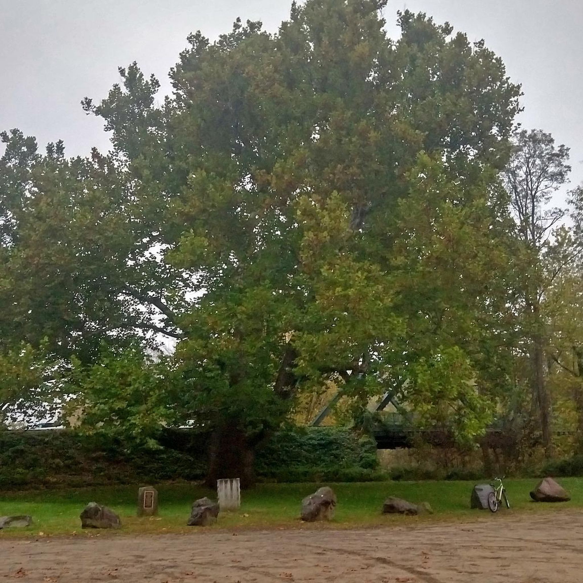
This greenway is a joy to cycle on as you are immersed in the trees along a good quality path. The colours are truly spectacular in Autumn when the trees leaves turn to amber, crimson and golden hues.
0
0

Great view from the peak onto Penwood State Park. It is definitely worth the effort that it takes to get to the top, as you are awarded with a great view of the valley that surrounds the park.
2
0

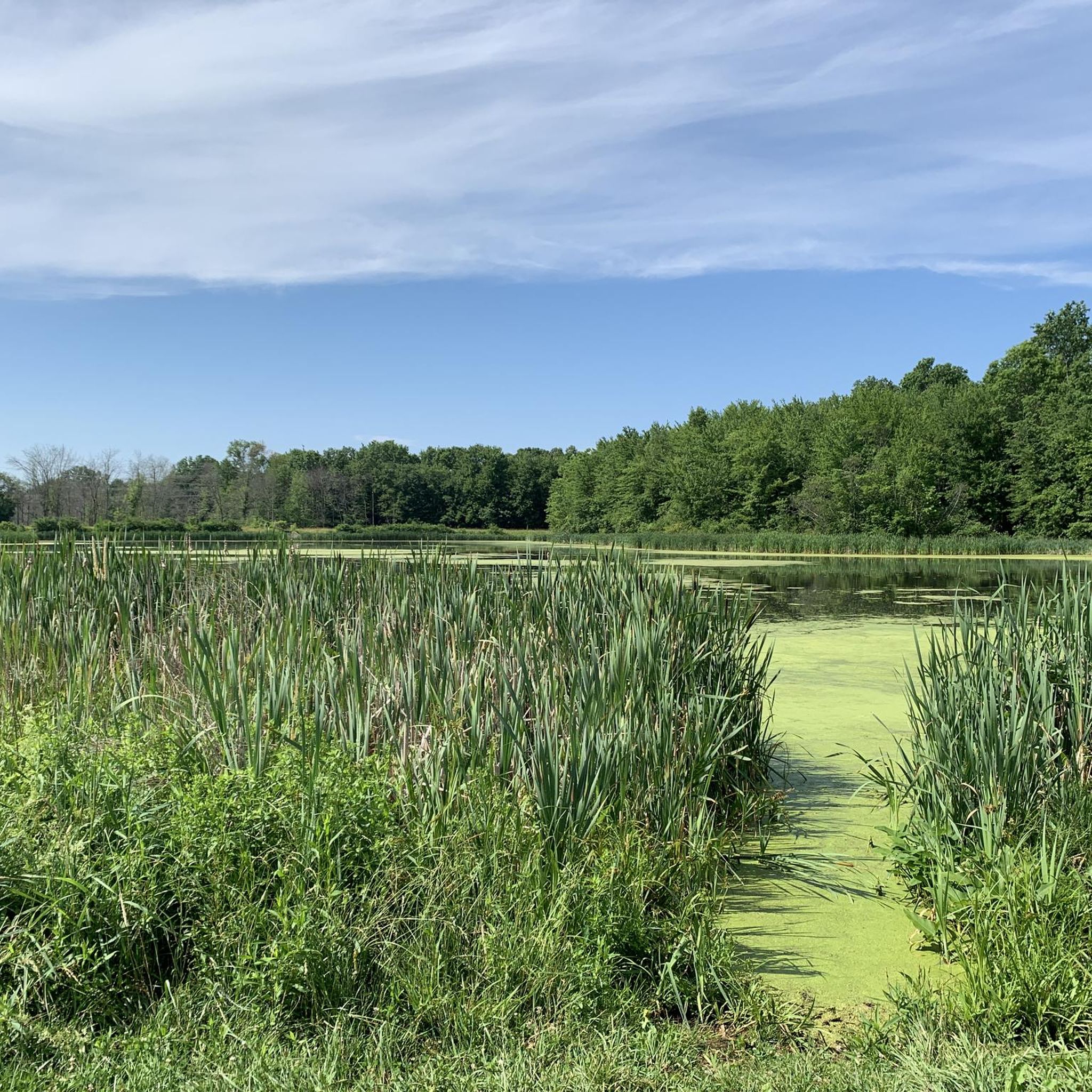
For 1.5 miles, the New England National Scenic Trail takes you alongside Hartford Reservoir Number 6. Enjoy a peaceful walk with beautiful views of the water. The trail continues on past the reservoir in either direction, but you can connect to other trails to run a loop around the water.
0
0
The tower was built by Gilbert Heublien, the previous owner of the land, to make good on a promise to his wife that he would build her a castle. In 1966, the State of Connecticut’s Department of Energy & Environmental Protection brought the land and the tower and opened it to the public in 1983. Now, the visitors can enter the tower and go to the top for a great view of Talcott Mountain State Park and the surrounding area.
1
0
For 1.5 miles, the New England National Scenic Trail takes you alongside Hartford Reservoir Number 6. Enjoy a peaceful walk with beautiful views of the water. The trail continues on past the reservoir in either direction, but you can connect to other trails to run a loop around the water.
0
0
Built in 1914, Heublein Tower offers gorgeous, panoramic views of the Hartford Skyline and the Farmington River Valley. Nestled in the trees along the New England National Scenic Trail, the tower can be easily reached by foot via Talcott State Park or West Hartford Reservoirs Recreation Area.
0
0

The 165-foot-tall tower soaring high above the treetops was built in 1914. Mr. Heublein, a German immigrant, designed the tower based on buildings from his hometown in Bavaria. You'll enjoy panoramic views of the Hartford skyline and the Farmington River Valley. When the surrounding trees turn all sorts of warm hues in the fall, the view is especially beautiful.
0
0
Frequently Asked Questions
How many running routes are available in Weatogue?
Weatogue offers a wide selection of running routes, with over 45 different options to explore. These routes cater to various preferences, from easy, flat paths to more challenging mountain ascents.
What kind of terrain can I expect on Weatogue's running trails?
The terrain in Weatogue is quite diverse, ranging from river plains and wetlands to challenging mountain ridges. You'll find a mix of dedicated paved paths, such as sections of the East Coast Greenway and local bike trails, as well as natural forest trails and open meadows. Some routes, particularly those ascending towards Talcott Mountain, feature significant elevation changes.
Are there easy running routes suitable for beginners in Weatogue?
Yes, Weatogue has several easy running routes perfect for beginners or those seeking a relaxed run. Options include the flat paths around Weatogue Park and sections of the East Coast Greenway. There are 5 routes specifically rated as easy within the area.
Are there challenging trails for experienced runners in Weatogue?
Absolutely. For experienced runners looking for a challenge, routes ascending Talcott Mountain or through Penwood State Park offer significant elevation gains. A notable difficult route is the Laurel Hill – Penwood State Park loop from Gale Pond, which covers over 11 miles with substantial climbing. Overall, there are 11 difficult routes in the area.
What scenic views or landmarks can I see while running in Weatogue?
Weatogue's running routes offer a variety of scenic views and landmarks. You can run to the iconic Heublein Tower for panoramic views of the Farmington Valley, or explore trails along the Farmington River Trail. Other highlights include the diverse landscapes of Tanager Hill with its wetlands and forests, and historic sections of East Weatogue Street featuring 18th-century homes.
Are there routes that pass by water features like rivers or ponds?
Yes, many running routes in Weatogue incorporate water features. The region is defined by the Farmington River Valley, and you can find trails that run alongside the river or pass by ponds. For example, the Ensign Bickford Pond – Simsbury Open Space loop from Simsbury takes you past a pond, and Tanager Hill features a farm pond and vernal pools. You might also encounter Trout Pond on some trails.
Are the running trails in Weatogue family-friendly?
Many of Weatogue's running paths are suitable for families, especially the flatter and wider trails found in areas like Weatogue Park or sections of the East Coast Greenway. These provide a safe and enjoyable environment for all ages to experience the outdoors.
Can I bring my dog on the running trails in Weatogue?
Generally, dogs are welcome on most outdoor trails in Weatogue, especially in state parks and open spaces like Talcott Mountain State Park and Tanager Hill. It's always a good idea to keep your dog on a leash and follow local regulations regarding pet waste to ensure a pleasant experience for everyone.
Are there circular running routes available in Weatogue?
Yes, many of the running routes in Weatogue are designed as loops, offering a convenient way to start and end your run at the same point. A popular example is the Metacomet and Yellow Trail Loop, which is a moderate 4.6-mile circular path.
What do other runners say about the trails in Weatogue?
The running routes in Weatogue are highly rated by the komoot community, with an average score of 5.0 stars. Over 300 runners have explored the area, often praising the varied terrain, scenic views, and the well-maintained paths that cater to different fitness levels.
Are there any running routes that offer historical insights?
Yes, you can combine your run with a glimpse into local history. Running along East Weatogue Street, for instance, takes you through the East Weatogue Historic District, where you can see preserved 18th-century houses and farm complexes, offering a unique cultural dimension to your outdoor activity.
Is there public transport access to the running trails in Weatogue?
While specific public transport details for every trailhead might vary, Simsbury, which includes Weatogue, is generally accessible. For detailed information on public transport options to specific trailheads, it's recommended to check local transit schedules or plan your route in advance.
Are there specific trails known for fall foliage views?
The Farmington Valley, including Weatogue, is renowned for its stunning fall foliage. Trails through Talcott Mountain State Park and Tanager Hill, with their mature upland forests, offer spectacular autumn colors. For more information on scenic drives and fall foliage tours in the wider Simsbury area, you can visit the Simsbury town website.
Most popular attractions around Weatogue

Get inspired with the komoot mobile app


Explore more
Browse the best Running Trails & Routes in other regions.
