The best walks and hikes around Winzerer Höhen
4.5
(6357)
34,121
hikers
12
hikes
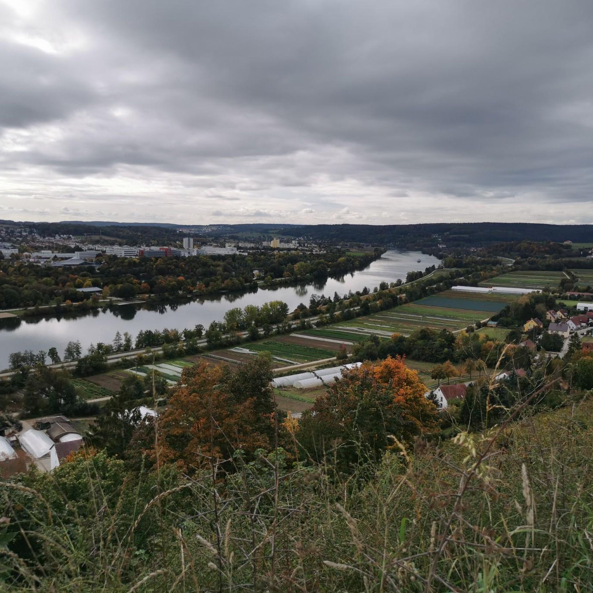
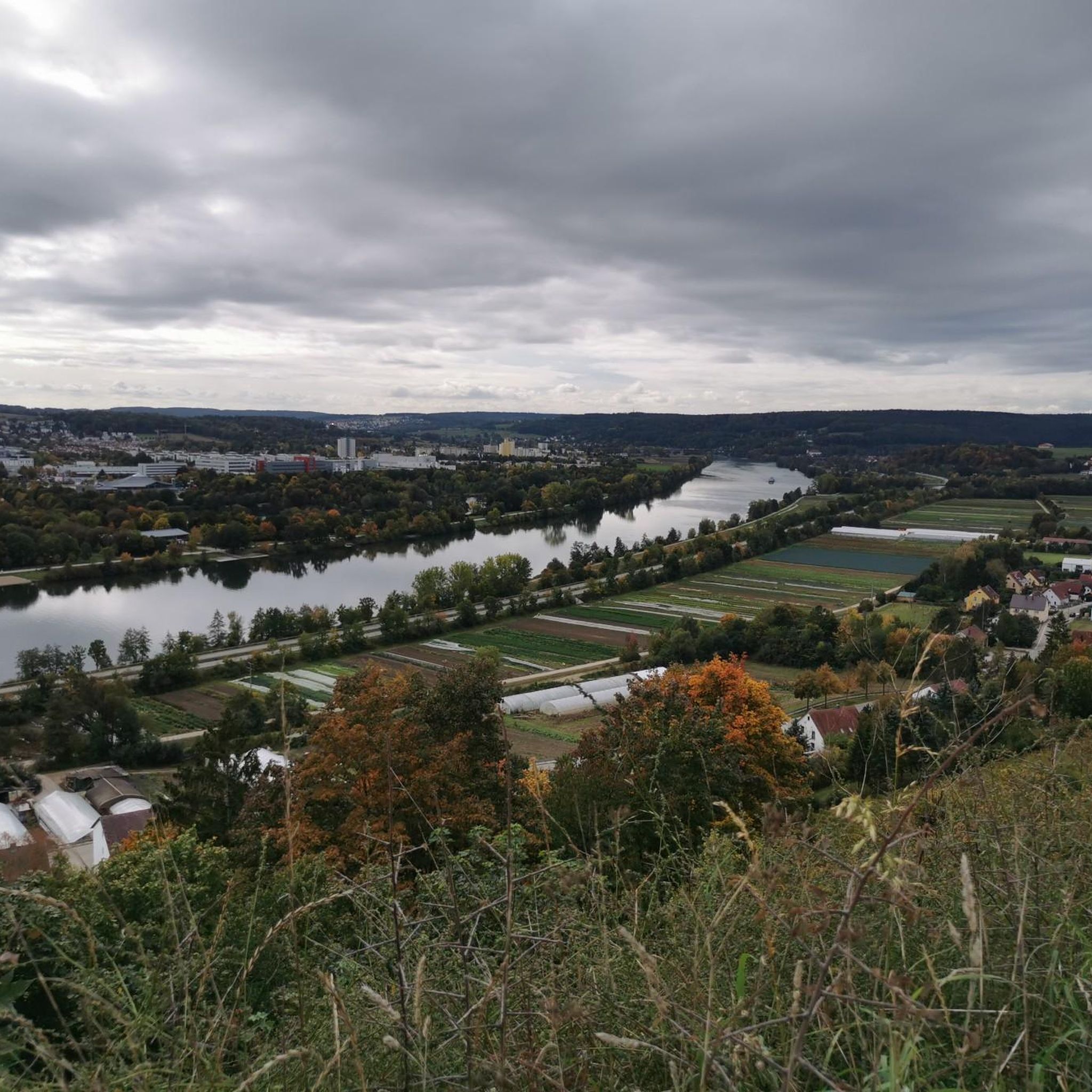
Hiking trails around Winzerer Höhen offer diverse landscapes above the Danube near Regensburg. This area, a foothill of the Upper Palatinate Jura, features varied terrain, including former vineyards and active vegetable fields. It provides panoramic views of Regensburg and the winding Danube River, making it a notable recreational area.
Best hiking trails around Winzerer Höhen
- The most popular hiking route is View of Adlersberg Monastery – Watzlik Chapel loop from Albertus-Magnus-Gymnasium, a 6.7 miles (10.9 km) trail that takes…
Last updated: June 27, 2026
5.0
(20)
76
hikers
Moderate hike. Good fitness required. Easily-accessible paths. Suitable for all skill levels.
4.8
(37)
165
hikers
9.44km
02:37
170m
170m
Moderate hike. Good fitness required. Easily-accessible paths. Suitable for all skill levels.

Sign up for free
5.0
(5)
113
hikers
Easy hike. Great for any fitness level. Easily-accessible paths. Suitable for all skill levels.
5.0
(2)
54
hikers
Easy hike. Great for any fitness level. Easily-accessible paths. Suitable for all skill levels.
17
hikers
4.36km
01:07
10m
10m
Easy hike. Great for any fitness level. Easily-accessible paths. Suitable for all skill levels.
Get access to more routes and recommendations from other explorers.
Sign up for free
Already have an account?
Our route recommendations are based on thousands of hikes, rides, and runs completed by other people on komoot.
Start today with a free account
Your next adventure awaits.
Login or Signup
Tips from the Community

A bridge worth seeing in the city center near the cathedral with a great view of the city panorama. It's always busy here, a little caution is advised for pedestrians regarding the many bikes speeding across the bridge.
0
0

The restaurants and cafes are very good and you can relax and watch the hustle and bustle on the street.
1
0
Stadtamhof has a very special flair with its cafés and restaurants
1
0
Beautiful view of the Adlersberg Monastery directly from the bike path
3
0
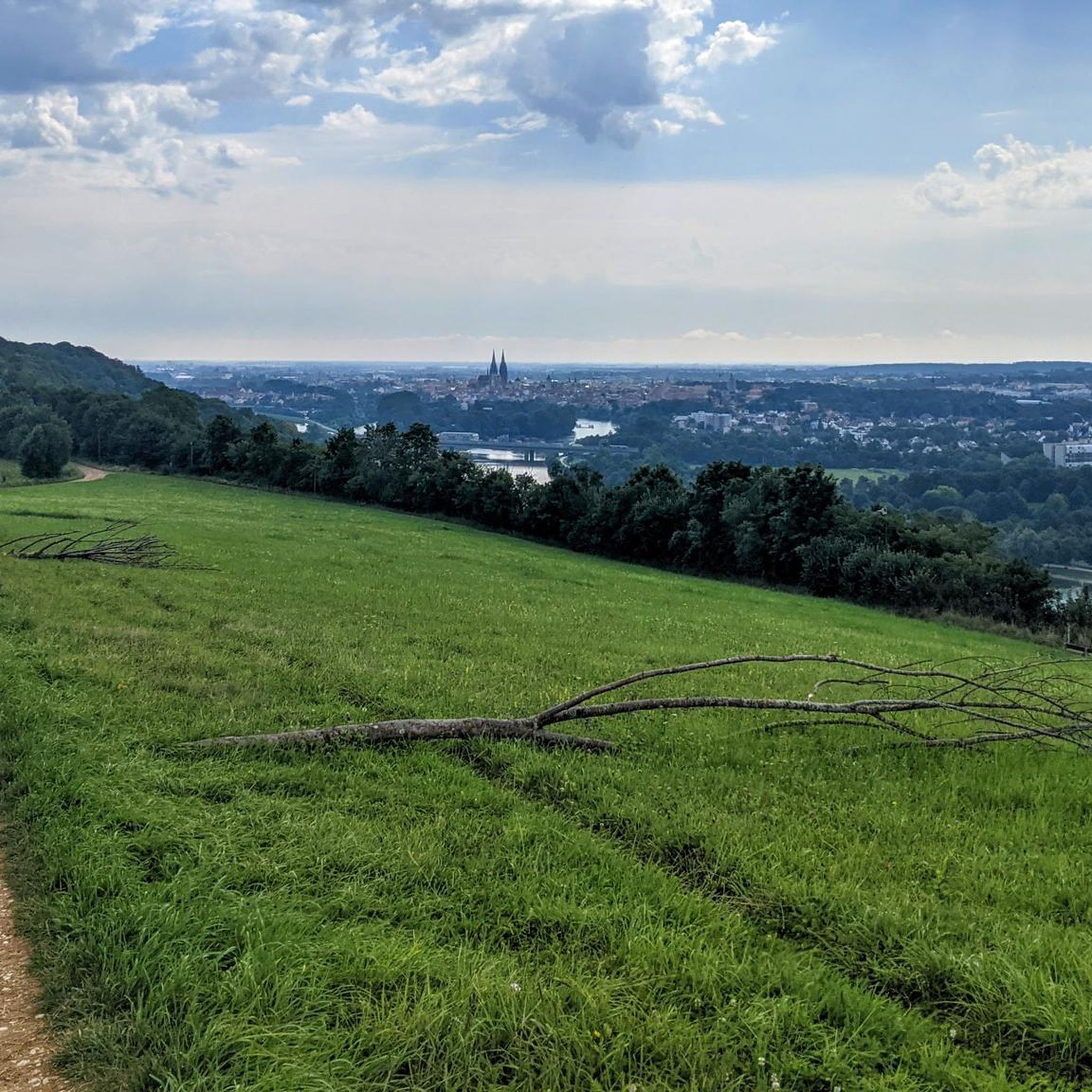
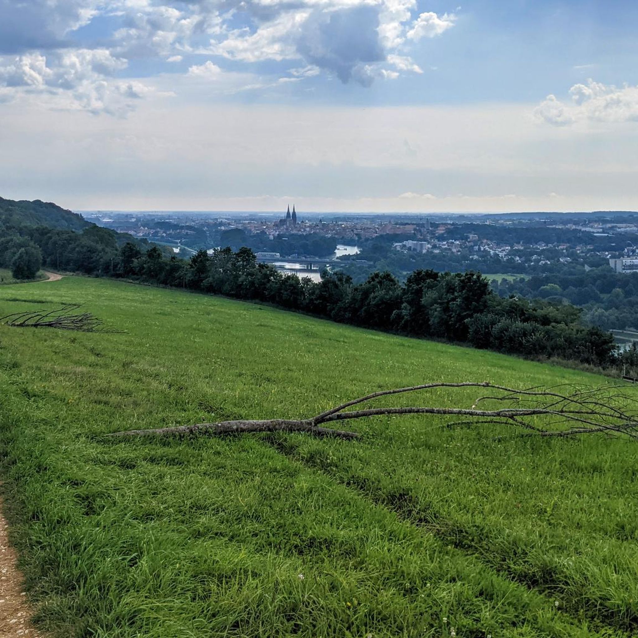
Great views of Regensburg directly from the cycle path
3
0
The Watzlik Kapelle with bench (great view at sunset) directly on the bike path
3
0
Magnificent view of the Danube and Regensburg directly from the cycle path.
3
0

Beautiful on its own. Beautiful in every season.
0
0
Frequently Asked Questions
How many hiking trails are available in Winzerer Höhen?
Winzerer Höhen offers a network of over 10 hiking routes. The area is known for its diverse landscapes and well-maintained trails, providing options for various fitness levels.
What kind of terrain can I expect when hiking in Winzerer Höhen?
The terrain in Winzerer Höhen is varied, characteristic of the Upper Palatinate Jura foothills. You'll encounter paths through former vineyards, active vegetable fields, and natural biotopes. Many trails are wide and easily walkable, offering a pleasant experience.
Are there easy hiking options suitable for beginners or families in Winzerer Höhen?
Yes, Winzerer Höhen is very family-friendly. Out of the available routes, 10 are classified as easy, featuring wide and easily walkable paths. Some sections are even suitable for strollers, and the area includes recreational facilities like playgrounds.
What are some notable landmarks or viewpoints to see while hiking in Winzerer Höhen?
The area is rich in scenic spots. You can enjoy breathtaking panoramic views of Regensburg, its historic Old Town, and the winding Danube River. Specific viewpoints include Bench With a View of Regensburg and View of Regensburg from the Winzerer Heights. The historic Dreifaltigkeitskirche (Holy Trinity Church) also offers magnificent views.
Are there any circular hiking routes in Winzerer Höhen?
Yes, many routes in Winzerer Höhen are designed as loops, allowing you to start and end at the same point. For example, the View of Regensburg Cathedral loop from Regensburg is an easy 2.9 km trail offering city views.
Can I bring my dog on the hiking trails in Winzerer Höhen?
Winzerer Höhen is generally dog-friendly, with its extensive network of natural paths. Most trails are suitable for walks with leashed dogs, allowing you and your canine companion to enjoy the varied landscapes and fresh air.
What is the best time of year to hike in Winzerer Höhen?
Winzerer Höhen is enjoyable year-round. Spring and autumn offer pleasant temperatures and vibrant colors, while summer provides lush greenery. In winter, a hill near the Silk Plantation becomes a popular sledding spot, and trails can be hiked, though conditions may vary.
Are there places to eat or drink along the hiking routes?
Yes, hikers can combine their outdoor activity with a visit to traditional Bavarian beer gardens. Notable options include the Gasthof Huf on Tremmelhauserhöhe, which you can visit on the View of Regensburg – Huf Inn Beer Garden & View loop from Regensburg, or Prösslbräu at Adlersberg, offering refreshments and scenic views.
How can I get to Winzerer Höhen using public transport?
Winzerer Höhen is easily accessible from Regensburg. Public transport options are available to reach the starting points of many trails, allowing you to explore the area without a car. Specific bus routes connect Regensburg with the Winzerer Höhen area.
What do other hikers enjoy most about hiking in Winzerer Höhen?
The area is highly rated by the komoot community, with an average score of 4.6 stars from over 4600 reviews. Hikers often praise the stunning panoramic views of Regensburg and the Danube, the varied terrain, and the well-maintained paths that cater to all ability levels. Over 27,000 hikers have used komoot to explore this region.
Are there any longer, more challenging routes for experienced hikers?
While many routes are easy, there are options for longer excursions. The Lappersdorf Monument Hiking Trail, for instance, is over 20 km long and marked with 65 monuments, which can be hiked in shorter stages or as a day trip. The View of Adlersberg Monastery – Watzlik Chapel loop from Albertus-Magnus-Gymnasium is a moderate 10.9 km route offering diverse scenery.
What historical aspects can I discover while hiking in Winzerer Höhen?
Winzerer Höhen has a rich history. Its name alludes to its past as a winemaking region, with Romans and Bavarians cultivating grapes. You can also find remnants of King Ludwig I's 19th-century mulberry tree plantation for silkworm breeding, such as the Silk Plantation building. The Albertus Magnus Trail is an 8 km audio trail that provides insights into the area's natural treasures and history.
Most popular routes around Winzerer Höhen
Most popular attractions around Winzerer Höhen

Get inspired with the komoot mobile app


Explore more
Browse the best Hikes in other regions.
