The best mountain hikes around Winzerer Höhen
3.0
(1)
8
hikers
4
hikes
Mountaineering around Winzerer Höhen offers routes through a landscape characterized by dense forests, river valleys, and varied elevations. The region features trails that traverse wooded hillsides and open areas, providing views of the surrounding countryside. This area, part of Landkreis Regensburg, presents a mix of natural terrain suitable for different mountaineering experiences.
Best mountaineering routes around Winzerer Höhen
- The most popular mountaineering route is Jurasteig Forest Trail – View of the Naab Valley loop from Etterzhausen, a difficult 12.1…
Last updated: July 5, 2026
3
hikers
19.5km
05:44
480m
480m
Hard mountaineering route. Very good fitness required. Mostly accessible paths. Sure-footedness required.
3.0
(1)
2
hikers
6.91km
02:04
210m
210m
Moderate mountaineering route. Good fitness required. Easily-accessible paths. Suitable for all skill levels.

Sign up for free
2
hikers
3.65km
01:05
110m
110m
Easy mountaineering route. Great for any fitness level. Easily-accessible paths. Suitable for all skill levels.
1
hikers
7.04km
01:57
120m
120m
Hard mountaineering route. Great for any fitness level. Sure-footedness, sturdy shoes and alpine experience required.
Our route recommendations are based on thousands of hikes, rides, and runs completed by other people on komoot.
Start today with a free account
Your next adventure awaits.
Login or Signup
Tips from the Community

Hidden behind bushes & hedges... a real lost place!
3
0

Feel free to drag your brakes here! *fg*
0
0

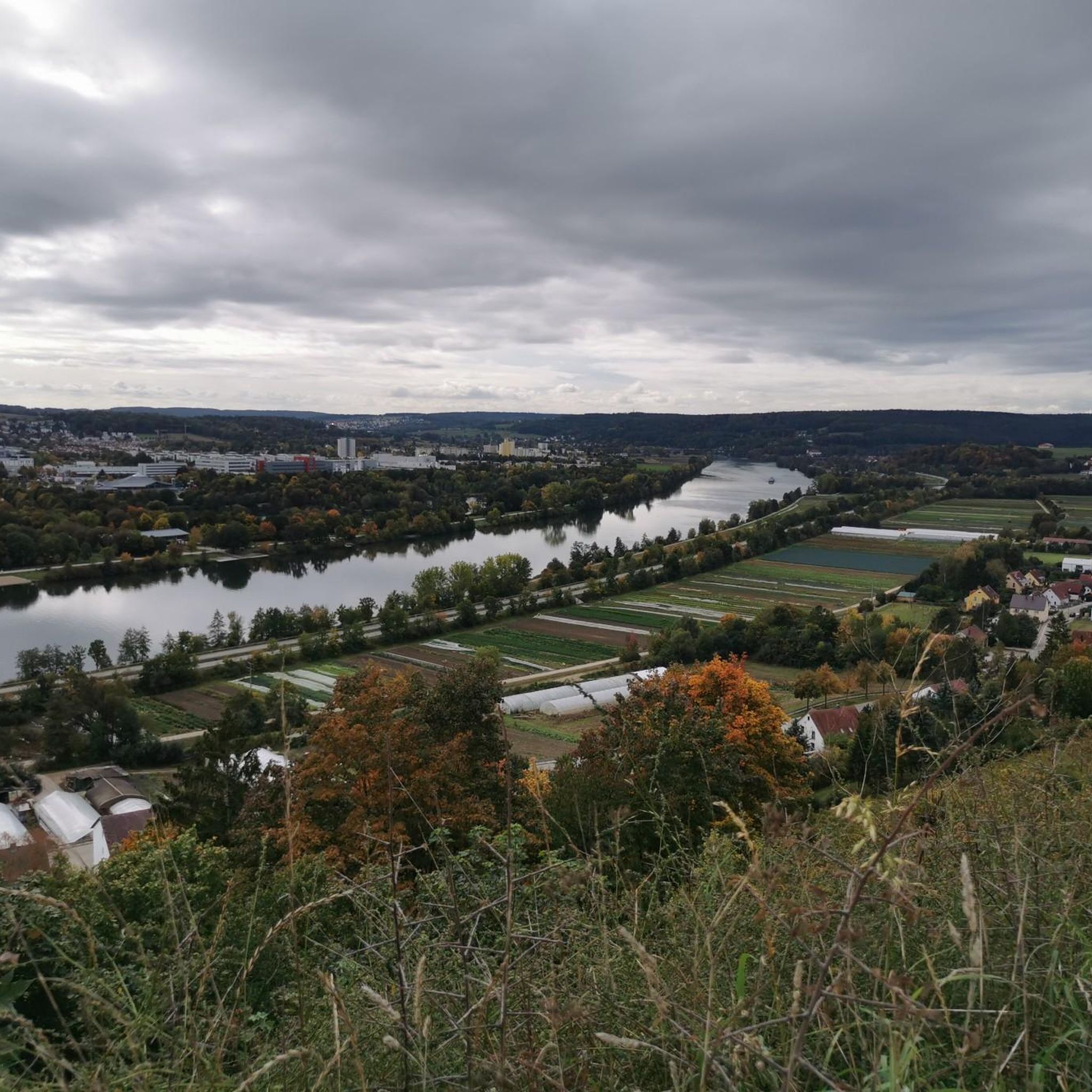
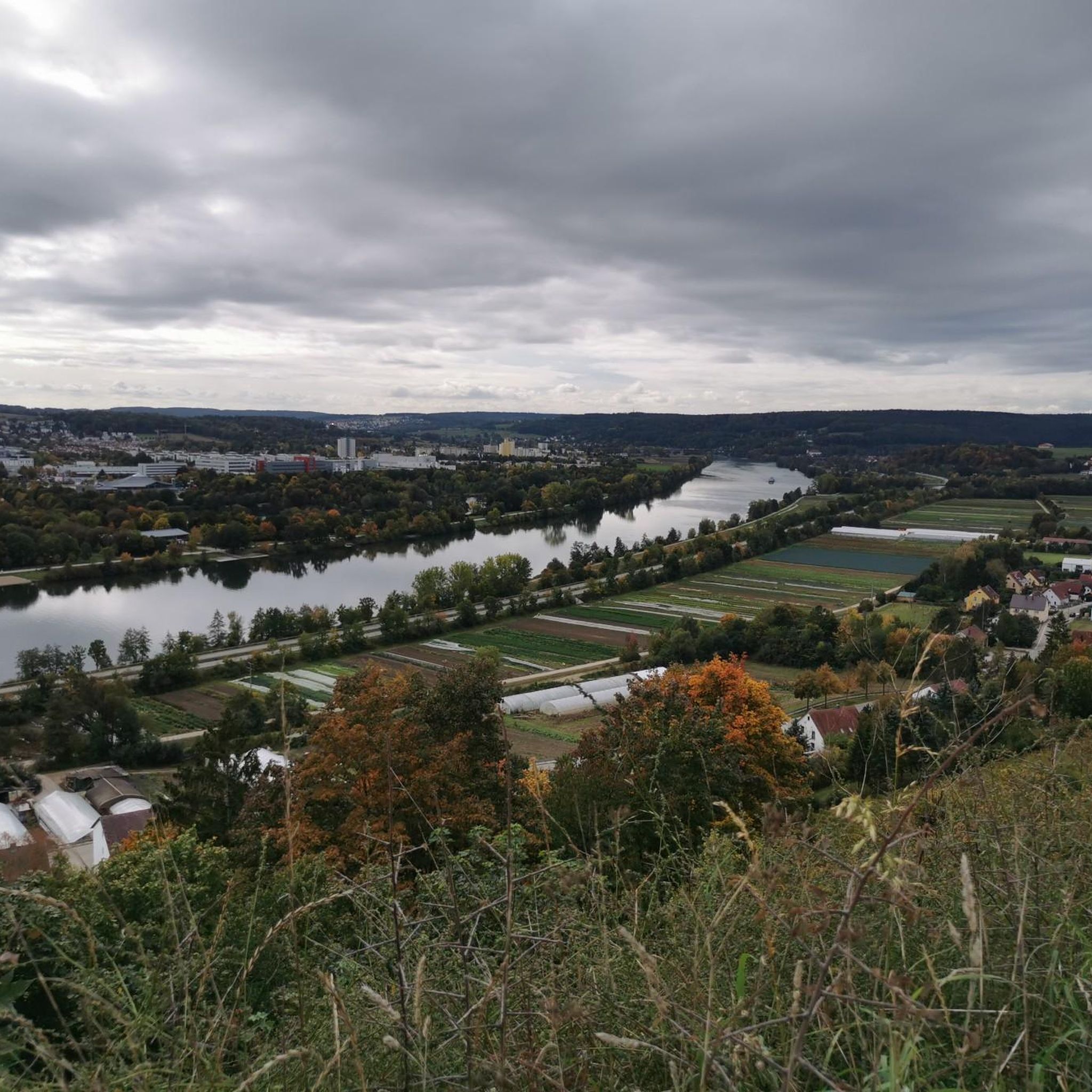
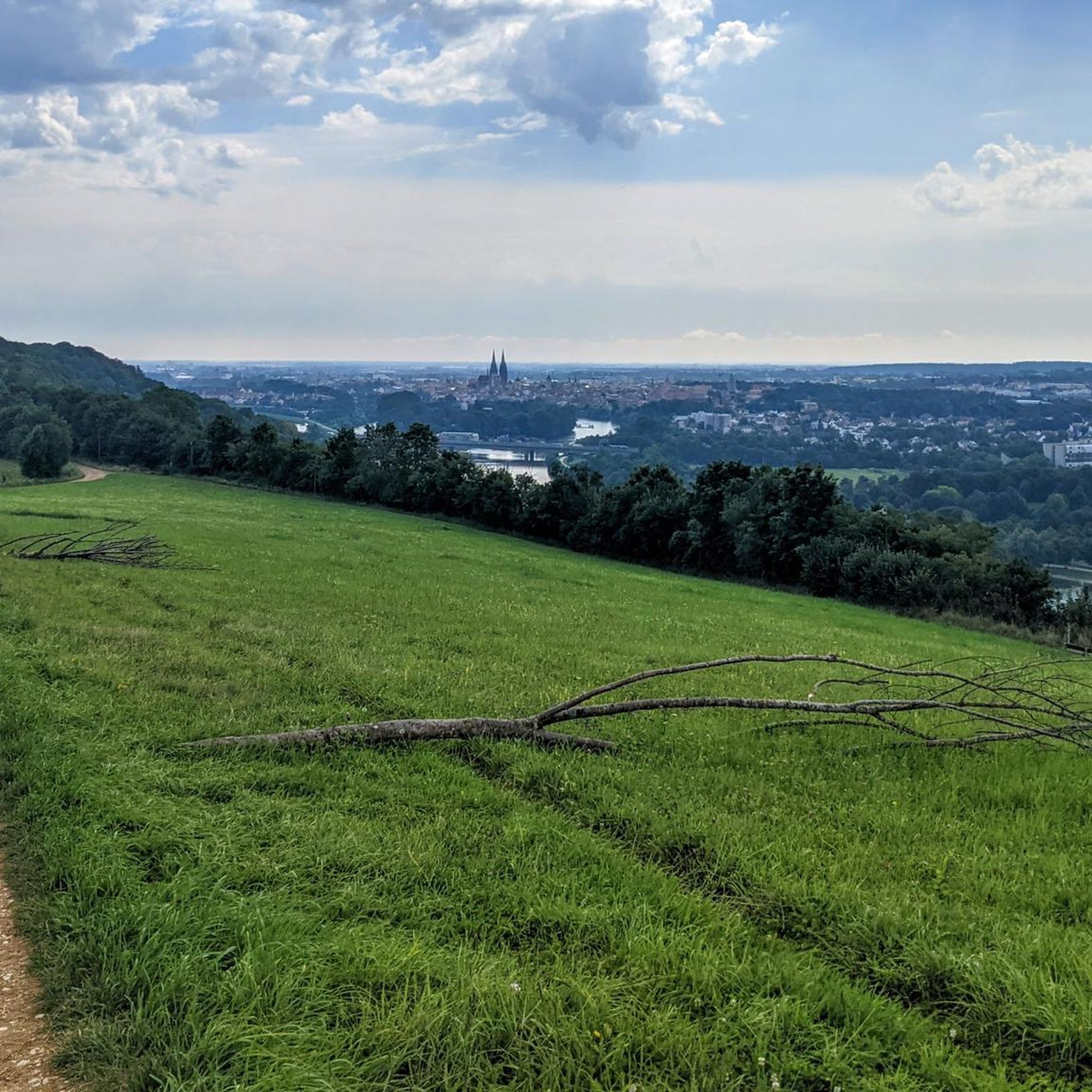
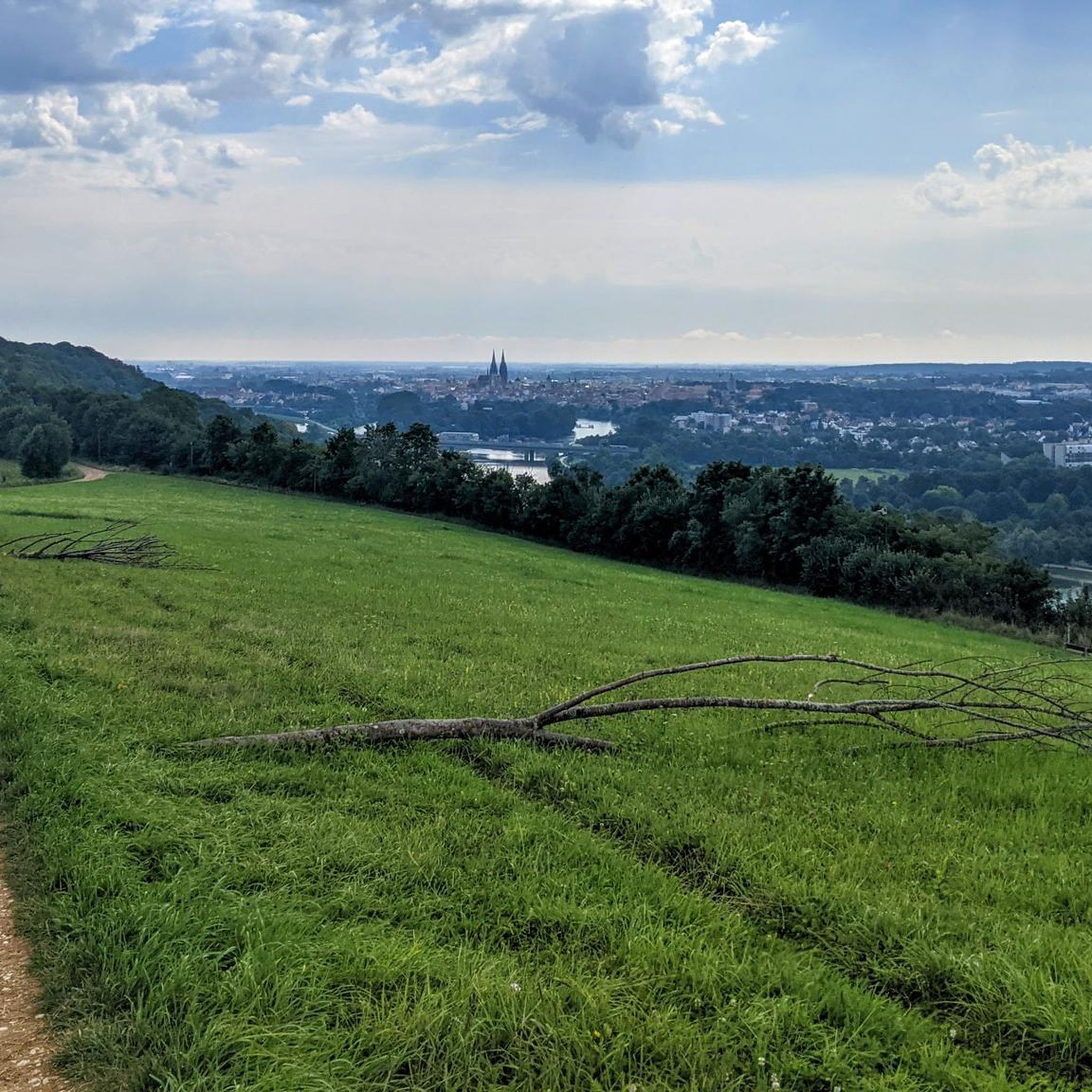
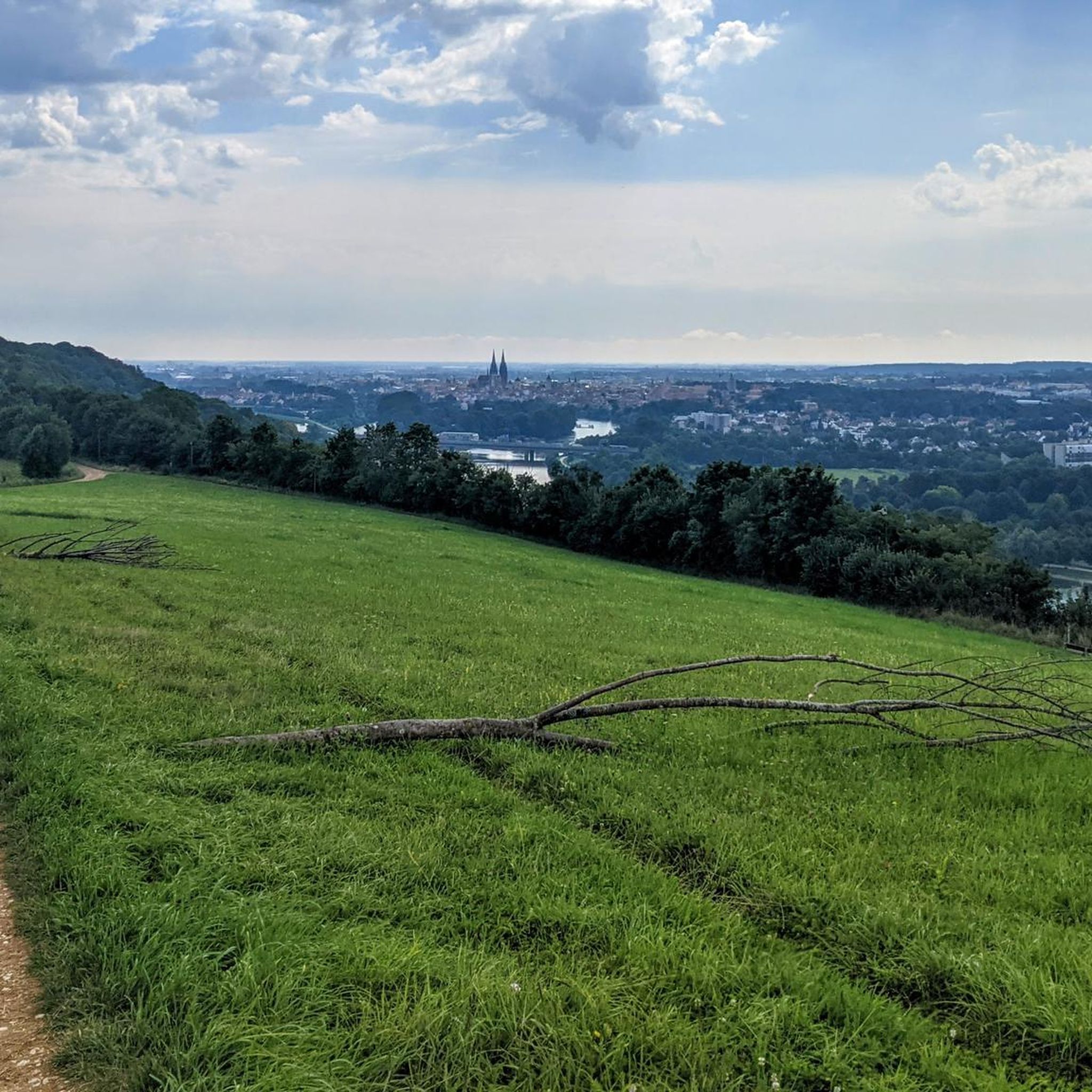
A magnificent view of the Danube Valley and all the way to Regensburg. The geotrail also features an overview map and information panels with many explanations about the flora and fauna.
4
0
A magnificent view of the Danube Valley and all the way to Regensburg. There's also an overview map and information panels with many explanations about the flora and fauna along the Geotrail.
4
0

The Höhlenburg Loch > a geotope The Höhlenburg Loch is one of only two cave castles in Bavaria (the second is in Stein an der Traun in Upper Bavaria). The lower, flatter part of the castle complex lies in slab dolomites belonging to the Velburg Horizon. The steep wall, at the base of which the (residential) caves appear, is formed by mass dolomites of the Middle Franconian Alb Formation. Bavarian State Office for the Environment (LfU). https://www.umweltatlas.bayern.de/standortauskunft/rest/reporting/sb_geotope/generate?additionallayerfieldvalue=375A026
1
0

A wonderful view here.
3
0

A very beautiful landscape
2
0

With a great beer garden, delicious food and fast and good service
1
0
Frequently Asked Questions
How many mountaineering routes are available in Winzerer Höhen?
There are currently 4 mountaineering routes documented on komoot for the Winzerer Höhen region, offering a variety of experiences from easy forest paths to more challenging ascents.
Are there any easy mountaineering routes suitable for beginners in Winzerer Höhen?
Yes, for those looking for an easier experience, consider the Flowing trail – Dynamite Trail at Keilstein loop from Tegernheim. This route is rated easy and typically takes just over an hour to complete, winding through the Keilstein area.
What are some of the more challenging mountaineering routes in Winzerer Höhen?
For a more demanding experience, the Jurasteig Forest Trail – View of the Naab Valley loop from Etterzhausen is a difficult 12.1-mile route that offers expansive views and takes around 5 hours 44 minutes. Another difficult option is the Labertal Wall, Schönhofen – Loch Cave Castle Ruins loop from Nittendorf.
Are there any circular mountaineering routes in the Winzerer Höhen area?
Many of the routes in Winzerer Höhen are designed as loops. For example, the Fellinger Berg – Marien Chapel in the dense forest loop from Tegernheim is a moderate 4.3-mile circular path that takes you through dense forest and past the historic Marien Chapel.
What kind of viewpoints can I expect along the mountaineering routes?
The region offers several scenic viewpoints. You can find spots like the Bench With a View of Regensburg and the View of Regensburg from the Winzerer Heights, providing panoramic vistas of the city and surrounding landscape.
Are there any family-friendly options for mountaineering in Winzerer Höhen?
While specific 'family-friendly' designations aren't always explicit, routes like the Flowing trail – Dynamite Trail at Keilstein loop from Tegernheim, being easy and relatively short (2.3 miles), could be suitable for families looking for a less strenuous outing.
What is the best time of year to go mountaineering in Winzerer Höhen?
The Winzerer Höhen region is generally enjoyable for mountaineering from spring through autumn, when the weather is mild and the trails are clear. The dense forests provide good shade in summer, and autumn offers beautiful foliage. Winter mountaineering is possible, but conditions can vary, and some trails might be icy or snowy.
Are there any historical or interesting landmarks to see along the routes?
Yes, several routes pass by points of interest. For instance, the Fellinger Berg – Marien Chapel in the dense forest loop from Tegernheim leads you past the historic Marien Chapel. Additionally, the Labertal Wall, Schönhofen – Loch Cave Castle Ruins loop from Nittendorf offers a chance to explore castle ruins.
What do other mountaineers say about the routes in Winzerer Höhen?
The routes in Winzerer Höhen are highly rated by the komoot community, with an average score of 3.0 stars. Users often appreciate the varied terrain, from dense woodlands to river valley vistas, and the options available for different ability levels.
Are there places to get refreshments or food near the mountaineering trails?
While specific cafes directly on the trails are not listed, the region is close to Regensburg, where you'll find numerous options for food and drink. For local produce, you might encounter places like the Westermeier Vegetable Farm Shop in the vicinity.
How long do mountaineering routes in Winzerer Höhen typically take to complete?
Route durations vary significantly based on difficulty and length. An easy route like the Flowing trail – Dynamite Trail at Keilstein loop from Tegernheim can be completed in about 1 hour 5 minutes, while a difficult one such as the Jurasteig Forest Trail – View of the Naab Valley loop from Etterzhausen can take nearly 6 hours.
Most popular routes around Winzerer Höhen
Most popular attractions around Winzerer Höhen

Get inspired with the komoot mobile app


Explore more
Browse the best Mountain Hikes & Routes in other regions.
