The best walks and hikes around Muckenschupf
4.5
(9426)
40,070
hikers
1,347
hikes
Hiking around Muckenschupf offers a diverse landscape primarily characterized by dense forests within Landkreis Ludwigsburg. The region features river valleys, such as the Glems Valley, providing varied terrain for outdoor activities. Gentle hills and open areas around local landmarks like the Frauenkirche also contribute to the area's natural appeal. This combination of woodland and riverine environments makes Muckenschupf suitable for a range of hiking experiences.
Best hiking trails around Muckenschupf
- The most popular hiking route is Glems River in the…
Last updated: July 4, 2026
4.7
(14)
52
hikers
Moderate hike. Good fitness required. Easily-accessible paths. Suitable for all skill levels.
4.6
(7)
22
hikers
Moderate hike. Good fitness required. Easily-accessible paths. Suitable for all skill levels.

Sign up for free
4.0
(5)
34
hikers
Easy hike. Great for any fitness level. Easily-accessible paths. Suitable for all skill levels.
3.7
(3)
18
hikers
Easy hike. Great for any fitness level. Easily-accessible paths. Suitable for all skill levels.
5.0
(1)
8
hikers
11.1km
03:00
150m
150m
Moderate hike. Good fitness required. Easily-accessible paths. Suitable for all skill levels.
Get access to more routes and recommendations from other explorers.
Sign up for free
Already have an account?
Our route recommendations are based on thousands of hikes, rides, and runs completed by other people on komoot.
Start today with a free account
Your next adventure awaits.
Login or Signup

Tips from the Community


Small wetlands that teem with life in the wet spring.
0
0

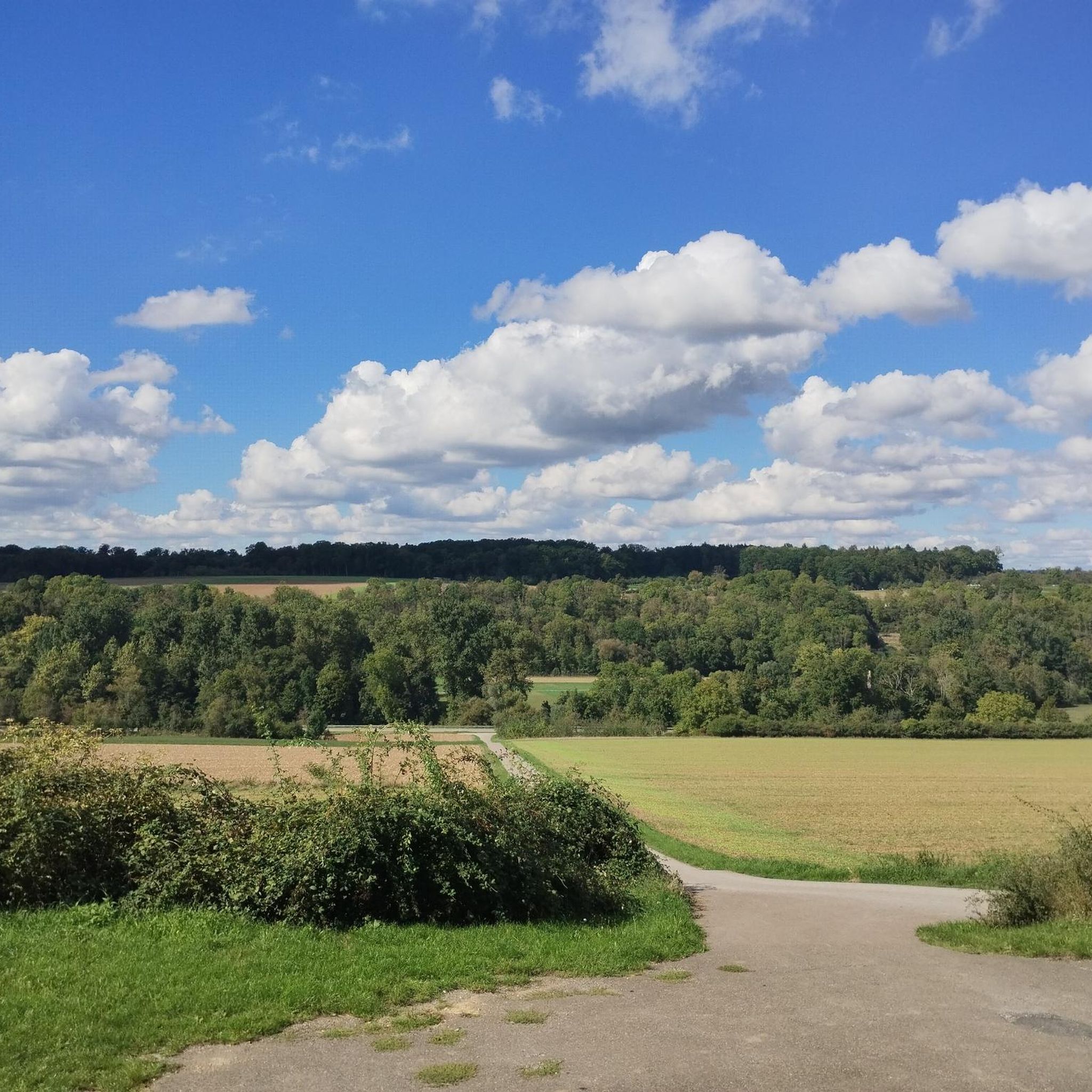
The bridge is situated in a beautiful section of the Glems Valley, just before the river flows into Talhausen. In this area, the Glems is bordered on both sides by steep climbs. The Schlüsselberg hill is particularly impressive on the right bank.
0
0

Vineyard terraces in the Glemstal valley near Talhausen, which are no longer cultivated.
2
0

Added to the collection: komoot.com/de-de/collection/3600632/-naturdenkmaeler-besondere-baeume-und-weitere-schaetze-der-natur
1
0
Added to the collection: https://www.komoot.com/de-de/collection/3600632/-naturen-denkmaeler-besondere-baeume-und-weitere-schaetze-der-natur
0
0
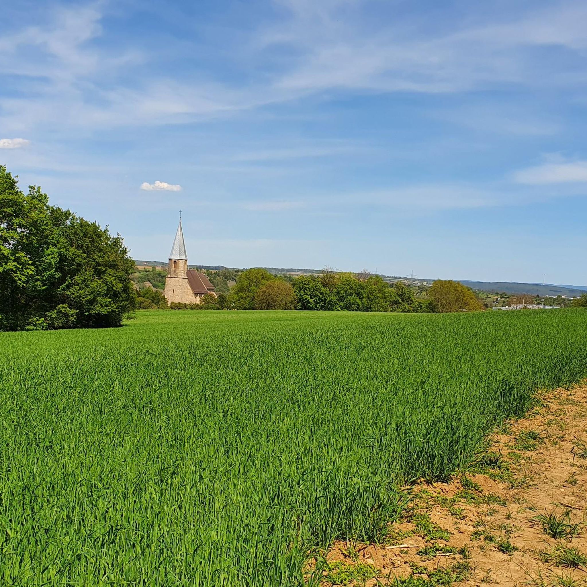
From the edge of the forest there is a good view of the Frauenkirche and the Enz valley behind it.
7
0
Rudimentary seating area between the Frauenkirche and the edge of the forest.
1
0
Frequently Asked Questions
How many hiking trails are available around Muckenschupf?
There are over 1,300 hiking routes available around Muckenschupf, offering a wide variety of experiences for all skill levels.
What kind of terrain can I expect when hiking in Muckenschupf?
The Muckenschupf region is primarily characterized by dense forests and river valleys, such as the Glems Valley. You'll encounter gentle hills and open areas around local landmarks, providing a diverse mix of woodland and riverine environments.
Are there easy hiking trails suitable for beginners in Muckenschupf?
Yes, Muckenschupf offers many easy trails. Out of over 1,300 routes, 860 are classified as easy. An example of an easy route is the Our Lady's Church, Unterriexingen – Ostland Cross, Unterriexingen loop from Oberriexingen, which is 2.9 miles (4.7 km) long and takes about 1 hour 17 minutes.
Are there any longer or more challenging hikes in the Muckenschupf area?
While the region features many easy and moderate trails, there are also more challenging options. The network includes 432 moderate routes and 22 difficult trails, catering to hikers looking for longer excursions or more elevation gain.
Can I find circular hiking routes around Muckenschupf?
Yes, many of the hiking routes around Muckenschupf are circular. For instance, the View of the Frauenkirche – Glems River in the Glems Valley loop from Oberriexingen is a moderate 7.4-mile (11.9 km) loop that explores the Glems Valley.
What are some notable landmarks or points of interest to see while hiking?
While hiking around Muckenschupf, you can encounter several interesting landmarks. These include historical sites like the Concentration Camp Cemetery Unterriexingen and the WWII watchtower foundation (Neckar‑Enz Line, Unterriexingen). You might also see natural monuments such as the Heide im Siegental Nature Monument, and the Ostland Cross, Unterriexingen.
Are the hiking trails in Muckenschupf suitable for families with children?
Yes, with a significant number of easy trails and varied terrain, Muckenschupf offers options suitable for families. Shorter, less strenuous routes like the Frauenkirche Unterriexingen – View of the Frauenkirche loop from Oberriexingen (3.3 miles / 5.3 km) are great for outings with children.
What do other hikers enjoy the most about hiking in Muckenschupf?
The hiking routes in Muckenschupf are highly rated by the komoot community, with an average score of 4.5 stars from over 8,900 reviews. Hikers often praise the diverse landscape, which combines dense forests, river valleys, and gentle hills, offering a range of experiences from short walks to longer excursions.
What is the best time of year to go hiking in Muckenschupf?
The region's mix of forests and river valleys makes it enjoyable across multiple seasons. Spring and autumn offer pleasant temperatures and beautiful foliage, while summer provides lush greenery. Winter hiking is also possible, though conditions may vary.
Is there public transport access to the hiking trails in Muckenschupf?
While specific public transport details for individual trailheads are not provided in the guide data, the region is within Landkreis Ludwigsburg, which typically has public transport options. It's advisable to check local bus or train schedules for access to towns like Oberriexingen, which serve as starting points for many routes.
How long do hikes typically take in Muckenschupf?
Hike durations vary significantly. Shorter, easy routes can be completed in just over an hour, such as the Our Lady's Church, Unterriexingen – Ostland Cross, Unterriexingen loop from Oberriexingen at 1 hour 17 minutes. Longer, moderate trails like the View of the Frauenkirche – Weir at Oberriexingen loop from Oberriexingen can take around 3 hours.
Most popular routes around Muckenschupf
Most popular attractions around Muckenschupf

Get inspired with the komoot mobile app


Explore more
Browse the best Hikes in other regions.
