The best walks and hikes around Montes de Zuera
5.0
(2)
27
hikers
10
hikes
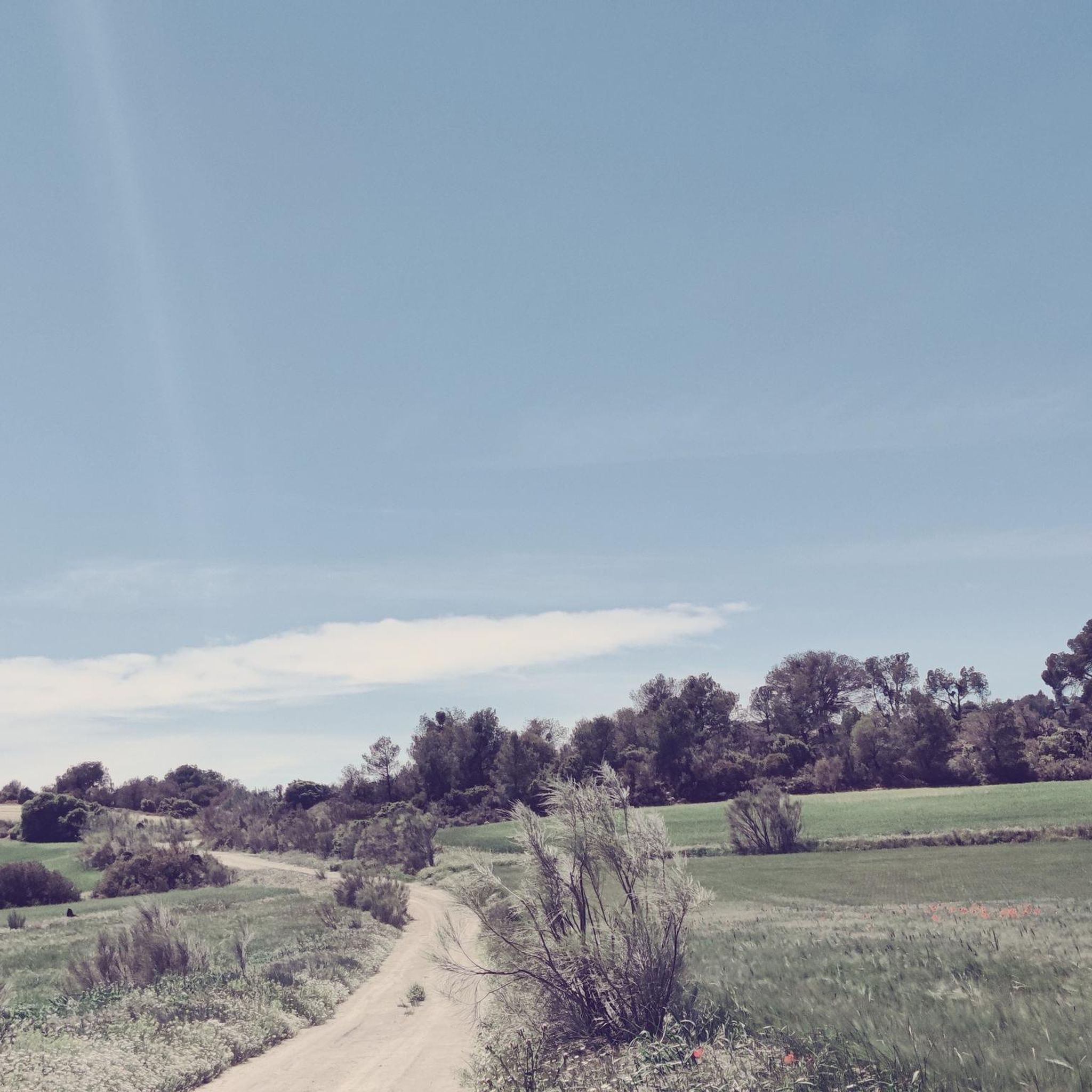
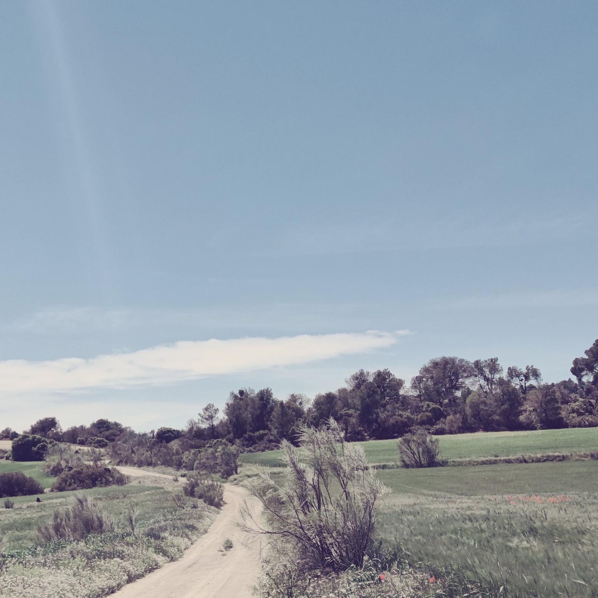
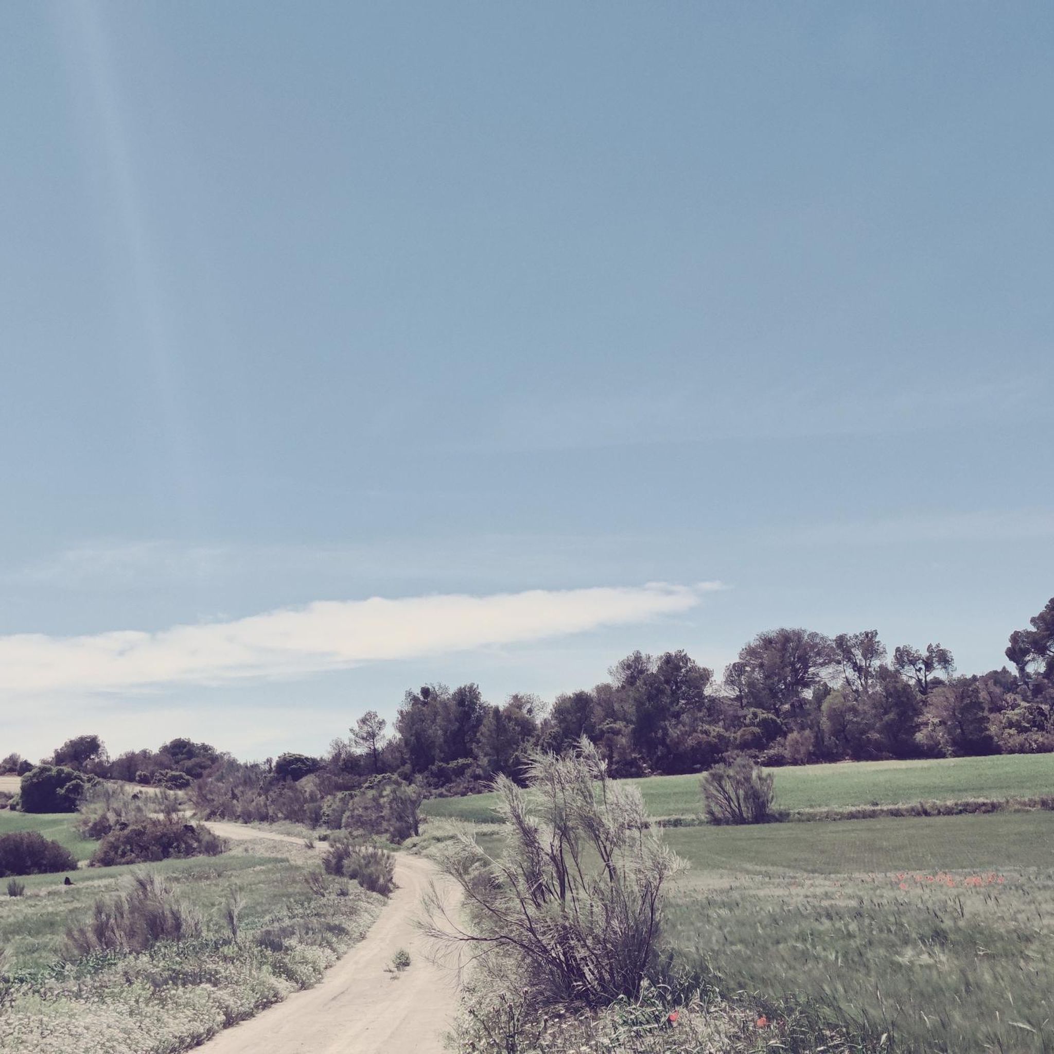
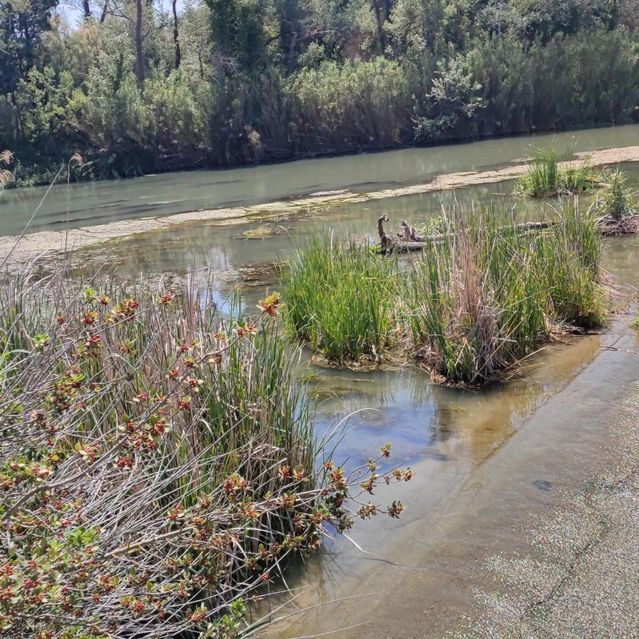
Hiking around Montes de Zuera offers diverse terrain near Zaragoza, Aragón, Spain, characterized by its varied ecosystems. The region features lush riverine zones along the Gállego River, transitioning into semi-steppe areas and extensive mountainous terrain. These mountains are covered by well-preserved Mediterranean pine and holm oak forests, alongside rolling hills and distinctive "muelas" (table mountains) shaped by water erosion.
Best hiking trails around Montes de Zuera
- The most popular hiking route is Pino de Val de Navarro – Alto de…
Last updated: July 9, 2026
5.0
(1)
5
hikers
Moderate hike. Good fitness required. Easily-accessible paths. Suitable for all skill levels.
3
hikers
7.69km
02:12
180m
180m
Moderate hike. Good fitness required. Easily-accessible paths. Suitable for all skill levels.

Sign up for free
9.49km
02:38
170m
170m
Moderate hike. Good fitness required. Easily-accessible paths. Suitable for all skill levels.
9.04km
02:33
250m
250m
Moderate hike. Good fitness required. Easily-accessible paths. Suitable for all skill levels.
1
hikers
11.8km
03:19
240m
250m
Moderate hike. Good fitness required. Easily-accessible paths. Suitable for all skill levels.
Get access to more routes and recommendations from other explorers.
Sign up for free
Already have an account?
Our route recommendations are based on thousands of hikes, rides, and runs completed by other people on komoot.
Start today with a free account
Your next adventure awaits.
Login or Signup
Tips from the Community

Just walk in here because a bocadillo is so big that you can't finish it for very little money!!
0
0

Located in the Cinco Villas region, Castejón de Valdejasa gives its name to the mountains that surround the municipality (Montes de Castejón). In this town we can visit the parish church of Santa María la Mayor, the Sora Castle or the Hermitage of Santa Ana.
2
1
Located in the Cinco Villas region, Castejón de Valdejasa gives its name to the mountains that surround the municipality (Montes de Castejón). In this town we can visit the parish church of Santa María la Mayor, the Sora Castle or the Hermitage of Santa Ana.
1
0
Located in the Montes de Castejón, the height of San Esteban is at an altitude of 700 meters and is crowned from Castejón de Valdejasa or Villanueva de Gállego
1
0
It is one of the eight destinations on the Forest and Fire route. A large diameter and emblematic tree for Zuera and its mountains. During the 2008 fires, the firefighters, together with volunteers from Zuera, prepared a special operation to save the Pino de Val de Navarro.
0
0
We will find ourselves on the Valdeperané road with magnificent views of the Loma de la Mula, the Sierra de las Pedrosas, the Montes de Zuera or the small towns of the Cinco Villas region
1
0
We are near the Collado de Cherre since we have gone to the highest point of the Sierra de las Pedrosas at 761 meters of altitude along a path from the Collado that gives us beautiful views of the Sierra de Guara, the Sierra de Santo Domingo, the Pyrenees, Monlora, the pine forests of Castejón and Zuera, Moncayo and the surrounding towns
1
0

Obligatory stop at first bar the pickled rabbit and admire the landscape
0
0
Frequently Asked Questions
What kind of terrain can I expect when hiking in Montes de Zuera?
Montes de Zuera offers a diverse landscape, from lush riverine zones along the Gállego River to extensive Mediterranean pine and holm oak forests covering rolling hills. You'll also encounter semi-steppe areas and distinctive 'muelas' (table mountains) shaped by water erosion. The varied terrain provides a rich hiking experience.
How many hiking routes are available in Montes de Zuera?
There are over 60 marked hiking routes in Montes de Zuera, catering to various skill levels. On komoot, you can find 8 curated hiking tours, ranging from easy strolls to more challenging excursions.
Are there any easy hiking trails suitable for beginners or casual walkers?
Yes, Montes de Zuera offers trails suitable for all fitness levels. While most routes are moderate, there is at least one easy trail available. For a gentle introduction to the area, consider exploring some of the shorter paths that wind through the riverine zones or less elevated forest areas.
What are some notable natural features or landmarks to look out for on the trails?
The region is rich in natural beauty. You can visit the remarkable Pino de Val de Navarro, a resilient pine tree. Other highlights include viewpoints like Viewpoint of La Mula, offering expansive views of the forest, and the Alto de San Esteban mountain pass.
Are there any circular hiking routes in Montes de Zuera?
Yes, many routes in Montes de Zuera are circular, allowing you to start and end at the same point. An example is the Collado de Cherre — circular by the Sierra de las Pedrosas, a 5.6-mile (9.0 km) trail that takes about 2 hours 30 minutes.
What is the best time of year to go hiking in Montes de Zuera?
Montes de Zuera can be enjoyed year-round, but spring and autumn offer the most pleasant conditions with milder temperatures and vibrant natural colors. The extensive forests also create a microclimate that is cooler and more humid, making it more comfortable than the surrounding steppe during warmer months.
Are the hiking trails in Montes de Zuera suitable for families with children?
Yes, Montes de Zuera offers a variety of trails, including easier options that are suitable for families. The diverse ecosystems and well-preserved forests provide an engaging environment for children to explore nature. Look for shorter, less elevated routes for a family-friendly experience.
Can I bring my dog on the hiking trails in Montes de Zuera?
Montes de Zuera is generally dog-friendly, with many trails suitable for walking with your canine companion. However, as it is a Special Protection Area for Birds (ZEPA) and a Special Conservation Zone (ZEC), it's important to keep dogs under control, preferably on a leash, to protect local wildlife and ensure a pleasant experience for all hikers.
Are there good viewpoints along the hiking trails?
Absolutely. Montes de Zuera features several excellent viewpoints that offer expansive vistas of the forest and surrounding areas. Notable spots include Mirador del Campillo, Mirador de la Mula, and Mirador de Monte Alto, which provide stunning panoramic views.
Is there parking available at the trailheads in Montes de Zuera?
While specific parking information for every trailhead isn't always detailed, many popular starting points for hikes, especially those near picnic areas or villages, typically offer designated parking spaces. It's advisable to check the route details on komoot for specific parking recommendations for your chosen trail, such as the starting point for Pino de Val de Navarro – Alto de San Esteban loop from Zona de picnic Cuatro Caminos.
What kind of wildlife can I expect to see while hiking?
The well-preserved forests and diverse ecosystems of Montes de Zuera are home to a variety of wildlife. You might spot hares, foxes, and wild boars. The area is also a Special Protection Area for Birds, making it excellent for birdwatching, with species like the royal eagle, black kite, griffon vulture, and Egyptian vulture present.
What is the typical duration for a hike in Montes de Zuera?
Hiking durations vary widely depending on the route's length and difficulty. For example, the Alto de San Esteban loop from Mirador Monte Alto is a moderate 4.8-mile (7.7 km) path that typically takes around 2 hours 10 minutes, while longer routes can take 3 hours or more.
Most popular routes around Montes de Zuera
Most popular attractions around Montes de Zuera

Get inspired with the komoot mobile app


Explore more
Browse the best Hikes in other regions.
