The best walks and hikes around Paradisbakkerne
4.6
(1262)
5,409
hikers
23
hikes
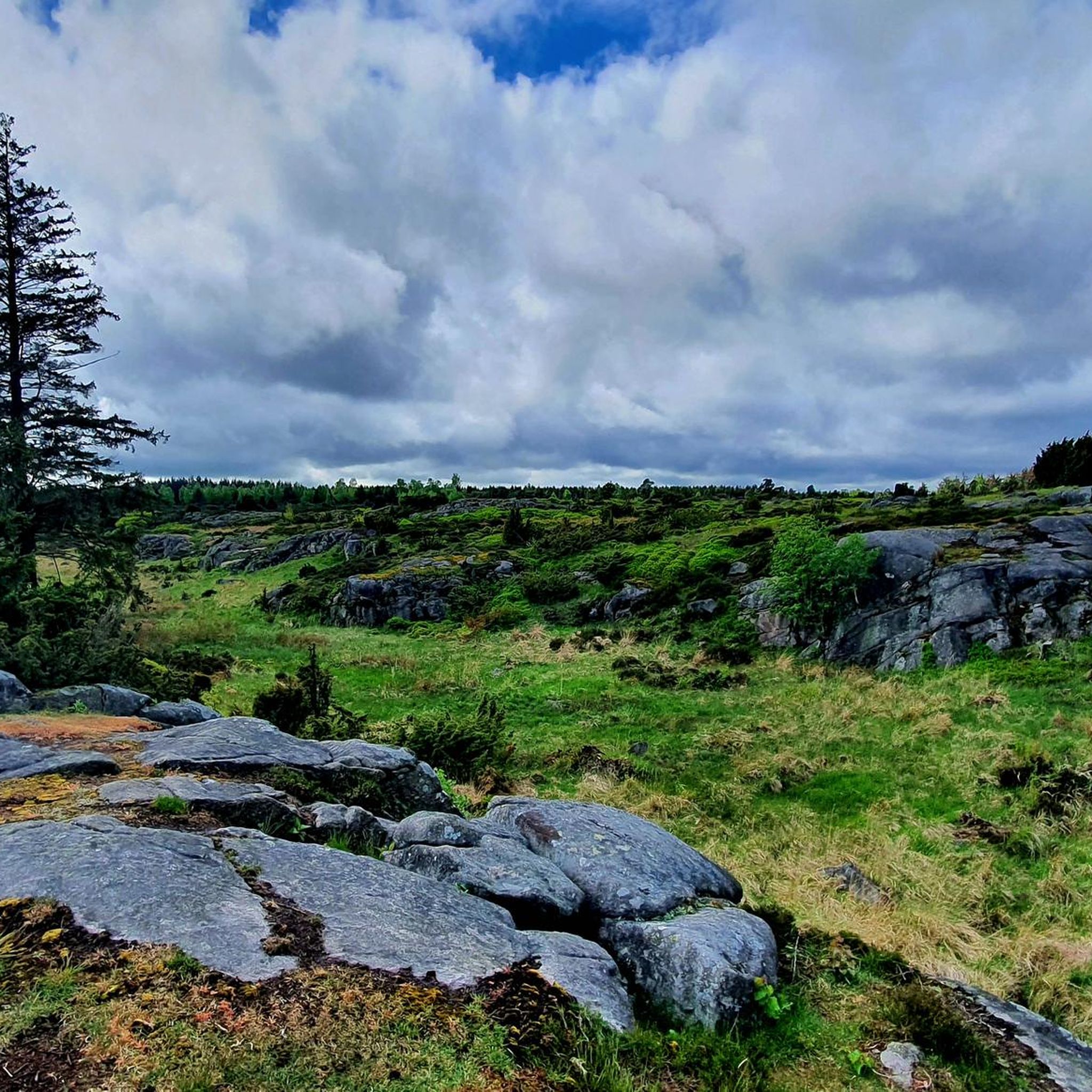
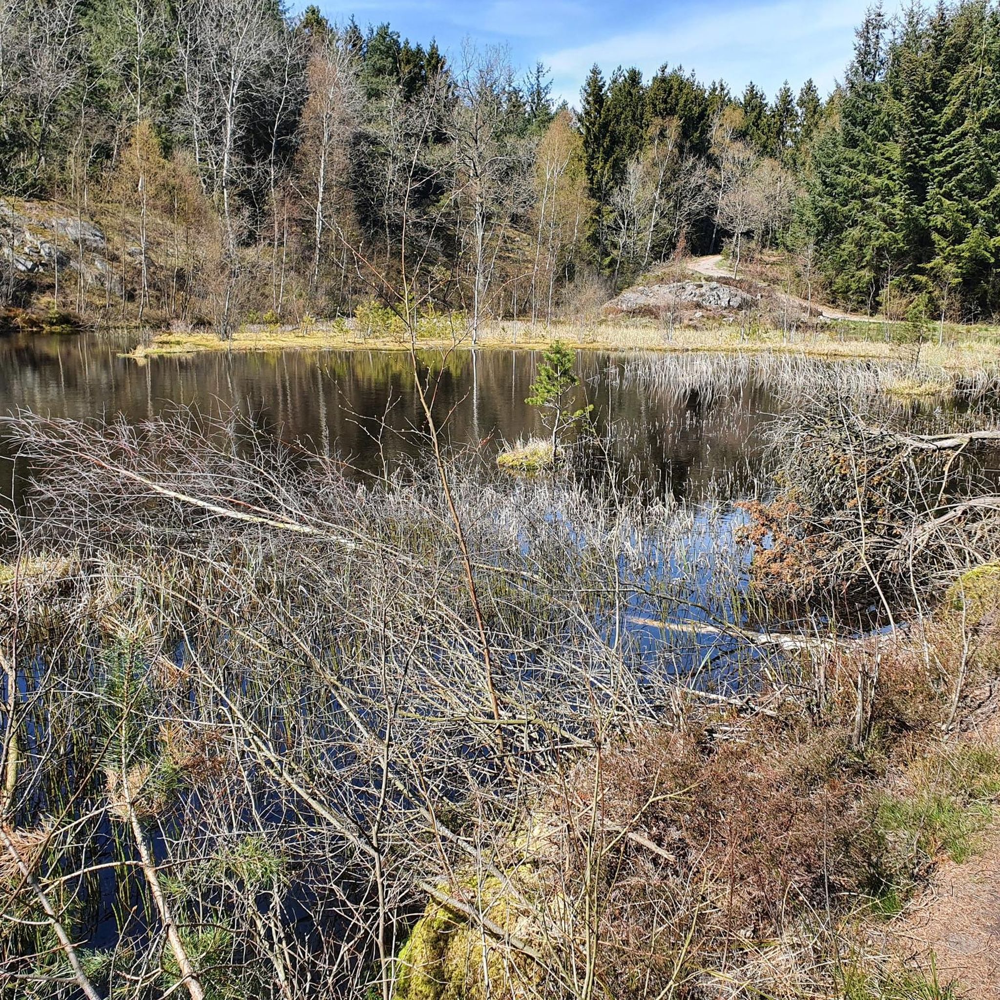
Hiking around Paradisbakkerne offers a distinctive post-glacial landscape on Bornholm, Denmark. The region is characterized by hilly and rocky topography, featuring steep, narrow rift valleys often 20-50 meters high. Hikers can explore diverse mixed forests, including both coniferous and deciduous trees, alongside serene forest lakes and peat bogs. The terrain includes varied paths, from rocky sections to heather-covered plateaus, with elevations reaching up to 113 meters.
Best hiking trails around Paradisbakkerne
- The most popular hiking route is Paradisbakkerne (yellow route)…
Last updated: July 15, 2026
4.9
(297)
990
hikers
6.57km
01:44
60m
60m
Easy hike. Great for any fitness level. Easily-accessible paths. Suitable for all skill levels.
4.7
(58)
214
hikers
6.85km
01:49
70m
70m
Easy hike. Great for any fitness level. Easily-accessible paths. Suitable for all skill levels.

Sign up for free
4.9
(134)
438
hikers
5.32km
01:23
40m
40m
Easy hike. Great for any fitness level. Easily-accessible paths. Suitable for all skill levels.
4.9
(18)
125
hikers
3.17km
00:51
40m
40m
Easy hike. Great for any fitness level. Easily-accessible paths. Suitable for all skill levels.
4.7
(22)
79
hikers
2.29km
00:37
30m
30m
Easy hike. Great for any fitness level. Easily-accessible paths. Suitable for all skill levels.
Get access to more routes and recommendations from other explorers.
Sign up for free
Already have an account?
Our route recommendations are based on thousands of hikes, rides, and runs completed by other people on komoot.
Start today with a free account
Your next adventure awaits.
Login or Signup
Other adventures around Paradisbakkerne

Tips from the Community

Don't be afraid of the goats. 🐐 They make way if you want to pass.
0
0


Midterpilt is a notable peak located within Paradisbakkerne, a hilly and rocky landscape in eastern Bornholm, Denmark. Standing at 113 meters above sea level, it is among the highest points in the area. The summit is marked by a large, distinctive stone cairn, known locally as a "pilt," a term derived from the Old Norse word "piltr," meaning "a little boy." Visitors can access Midterpilt via well-marked hiking trails that offer panoramic views of the surrounding landscape.
0
0

At 113m the highest point in the Paradiesbakkerne
0
0

Yes, it's really worth seeing. The yellow path leads along here. It's worth taking a break on one of the many stones to let your gaze wander over the lush heather.
1
0
Yes, the yellow dot leads along here
1
0

beautiful view, as if you are thousands of years back in time, not an easy path to it
0
0
Frequently Asked Questions
What kind of terrain can I expect when hiking in Paradisbakkerne?
Paradisbakkerne features a distinctive post-glacial landscape with hilly and rocky topography. You'll encounter steep, narrow rift valleys, lush vegetation, peat bogs, and serene forest lakes. The paths can be undulating, rocky, and potentially wet or muddy in places, offering a diverse and engaging hiking experience.
Are the hiking trails in Paradisbakkerne suitable for families with children?
While Paradisbakkerne offers well-marked trails, the terrain can be challenging due to its undulating, hilly, and rocky nature. Some areas may be wet or muddy. This makes the trails generally unsuitable for prams or wheelchairs. However, families with older children who are comfortable with varied terrain can enjoy the shorter, easier routes, such as the Rokkestenen Glacial Erratic loop from Klinteby, which is about 2.3 km long.
Can I bring my dog on the hiking trails in Paradisbakkerne?
Yes, dogs are generally welcome on the hiking trails in Paradisbakkerne. However, given that the area is privately owned and to protect the diverse wildlife, it is important to keep dogs on a leash and ensure they do not disturb other hikers or animals. Always clean up after your pet.
What natural landmarks or points of interest can I see along the trails?
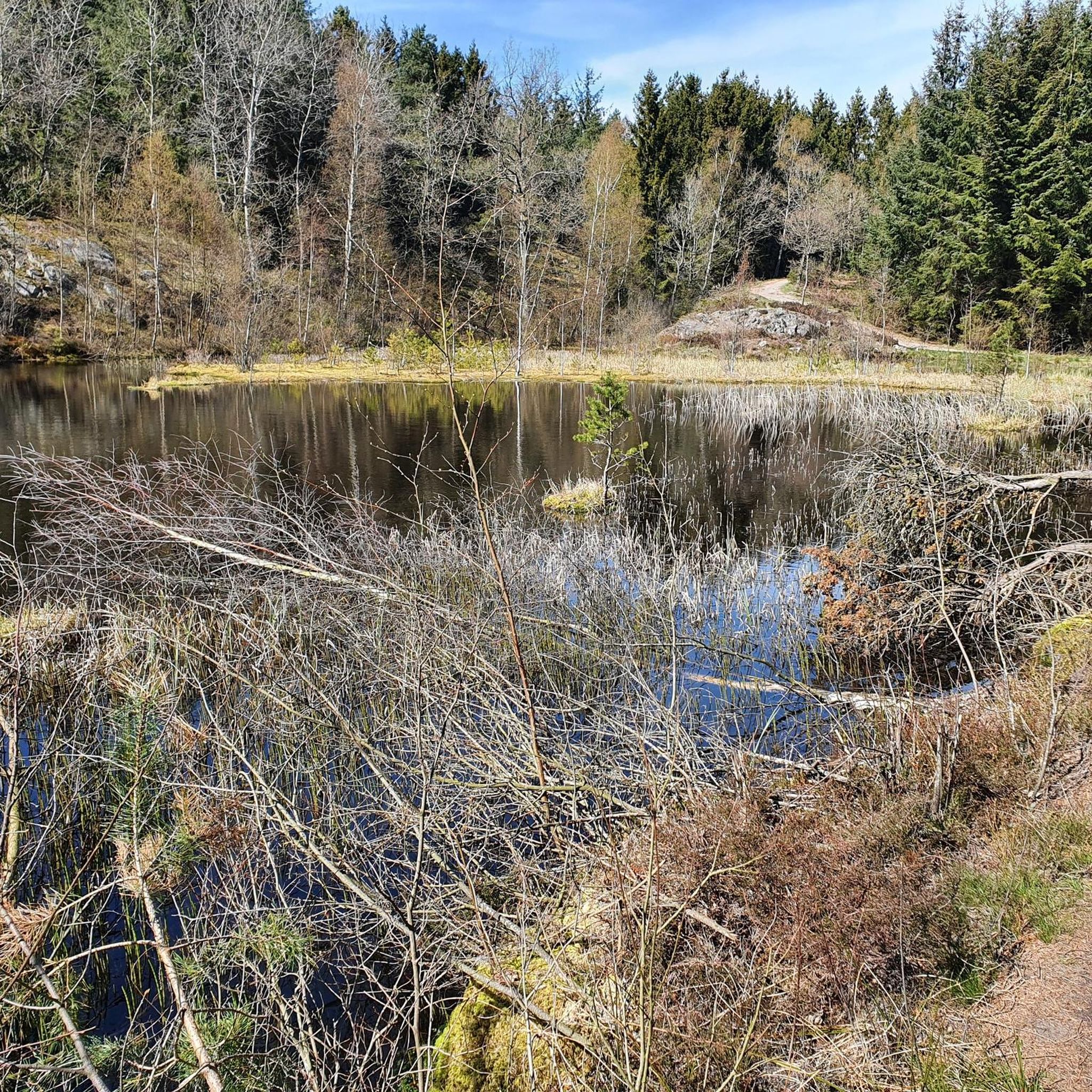
Paradisbakkerne is rich in natural features. You can visit Rokkestenen (The Rocking Stone), Bornholm's famous rocking boulder. Other notable sights include the tranquil Gamledam Pond, the impressive Dybedal Gorge, and the panoramic views from Midterpilt Stone Cairn, one of the highest points in the area. Many trails also pass by Grydesø, a picturesque forest lake.
Are there any circular hiking routes available in Paradisbakkerne?
Yes, Paradisbakkerne offers several circular routes. For example, the Paradisbakkerne (yellow route) - Bornholm is a popular circular trail covering approximately 6.6 km. Another option is the View of Grydesø loop from Klinteby, which is about 3.1 km long and takes you around the scenic Grydesø.
How many hiking routes are available in Paradisbakkerne?
There are over 20 hiking routes available in Paradisbakkerne, ranging from easy walks to more moderate paths. The komoot community has rated these routes highly, with an average score of 4.4 stars from over 500 reviews, indicating a well-regarded hiking destination.
What is the best time of year to go hiking in Paradisbakkerne?
Paradisbakkerne can be enjoyed year-round, but the best time to visit for hiking is typically during the spring, summer, and early autumn months (April to October). During these periods, the weather is generally milder, and the diverse vegetation is in full bloom or displaying vibrant autumn colors. Winter hiking is possible, but some paths might be wet, muddy, or icy, requiring appropriate footwear and caution.
How can I get to Paradisbakkerne, and is parking available?
Paradisbakkerne is located in eastern Bornholm, between the towns of Svaneke and Nexø. While specific public transport routes directly into the hiking area might be limited, local buses serve Svaneke and Nexø. For those traveling by car, parking areas are available at various entry points to the hiking trails. It's advisable to check local maps or komoot tour details for specific parking locations near your chosen starting point.
What do other hikers enjoy most about Paradisbakkerne?
The area is highly rated by the komoot community, with an average score of 4.4 stars. Reviewers often praise the unique post-glacial landscape, the tranquility of the forest lakes, and the impressive rift valleys. Many appreciate the well-marked trails that allow for exploration of diverse terrain, from rocky paths to lush vegetation, and the opportunity to discover natural landmarks like Rokkestenen.
Are there any easy hiking trails suitable for beginners in Paradisbakkerne?
Yes, Paradisbakkerne offers several easy hiking trails perfect for beginners or those looking for a relaxed walk. An excellent option is the Paradisbakkerne (the Paradise Hills): Blue Route, which is approximately 6.9 km long and classified as easy. This route allows you to experience the diverse landscape without significant difficulty.
Are there any specific rules or regulations I should be aware of when hiking in Paradisbakkerne?
Yes, it's important to note that Paradisbakkerne is a privately owned area. Visitors are advised to stay on marked routes to respect the land and its natural environment. Additionally, always practice Leave No Trace principles, such as packing out all trash and respecting wildlife. If you bring a dog, ensure it is kept on a leash.
Most popular routes around Paradisbakkerne
Most popular attractions around Paradisbakkerne

Get inspired with the komoot mobile app


Explore more
Browse the best Hikes in other regions.
