The best walks and hikes around Beaver Bay
4.8
(12)
176
hikers
17
hikes
Hiking around Beaver Bay, Minnesota, offers diverse landscapes along the North Shore of Lake Superior. The region features rocky cliffs, rugged bluffs, and extensive forests of birch, pine, and spruce. Hikers can explore trails that lead to natural attractions such as Beaver River Falls and offer panoramic views of the lake. The area provides access to segments of the Superior Hiking Trail and the Gitchi-Gami State Trail.
Best hiking trails around Beaver Bay
- The most popular hiking route is Bean…
Last updated: July 7, 2026
5.0
(1)
12
hikers
5.83km
01:39
150m
80m
The Superior Hiking Trail: Bean and Bear Lakes offers an easy hike through thick maple forests, which are particularly vibrant during the fall. This 3.6-mile (5.8 km) route features an…
4
hikers
18.8km
05:22
380m
530m
Embark on a difficult hiking adventure along the Superior Hiking Trail from Silver Bay to Tettegouche State Park. This challenging 11.7 miles (18.8 km) route will take you about 5…

Sign up for free
3
hikers
5.44km
01:31
70m
150m
Embark on an easy hike along the Superior Hiking Trail from Beaver Bay to Silver Bay, a route that spans 3.4 miles (5.4 km) and involves a gentle ascent of…
2
hikers
1.60km
00:26
40m
10m
Embark on the Little Two Harbors Trail for an easy hike through serene birch woods, offering peaceful views of Ellingsen Island and the expansive Lake Superior. This short route covers…
3.51km
01:00
110m
30m
Embark on the Elam Knob via Superior Hiking Trail for an easy 2.2 miles (3.5 km) hike that gains 377 feet (115 metres) in elevation, typically completed in about 1…
Get access to more routes and recommendations from other explorers.
Sign up for free
Already have an account?
Our route recommendations are based on thousands of hikes, rides, and runs completed by other people on komoot.
Start today with a free account
Your next adventure awaits.
Login or Signup
Popular around Beaver Bay
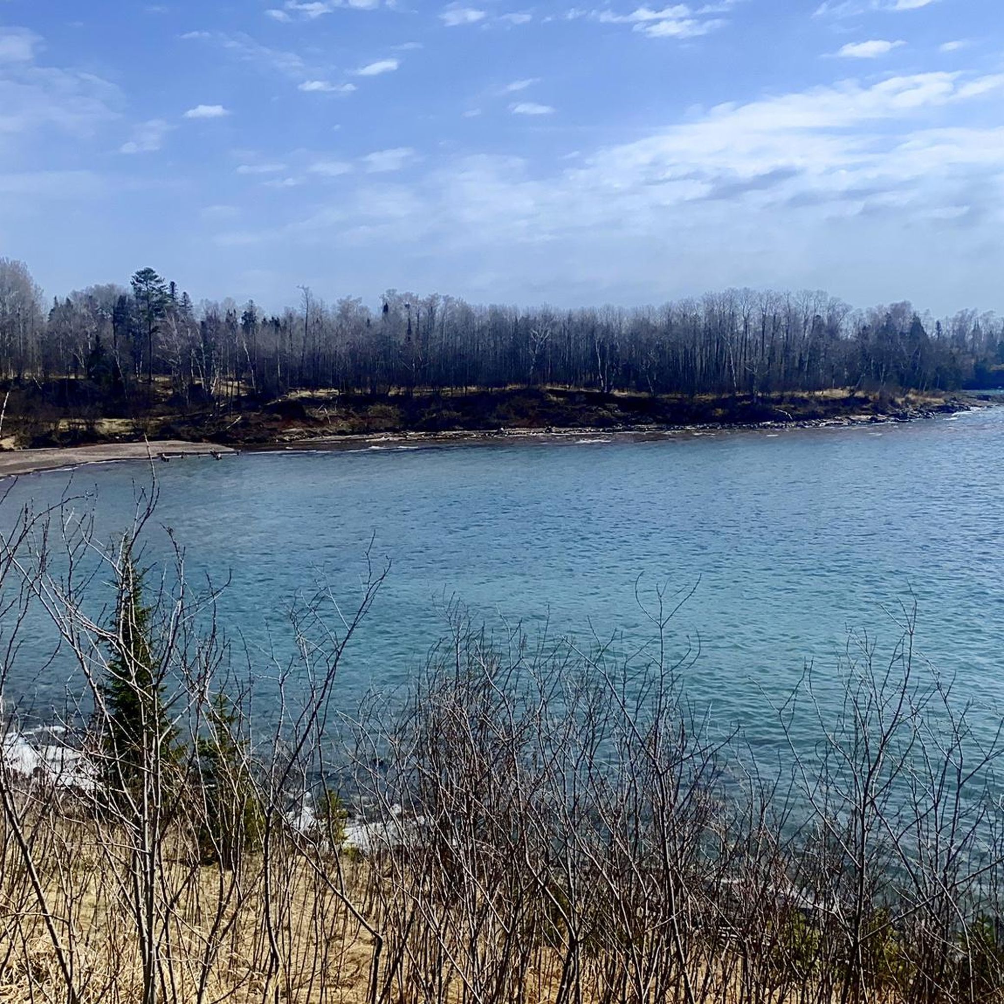
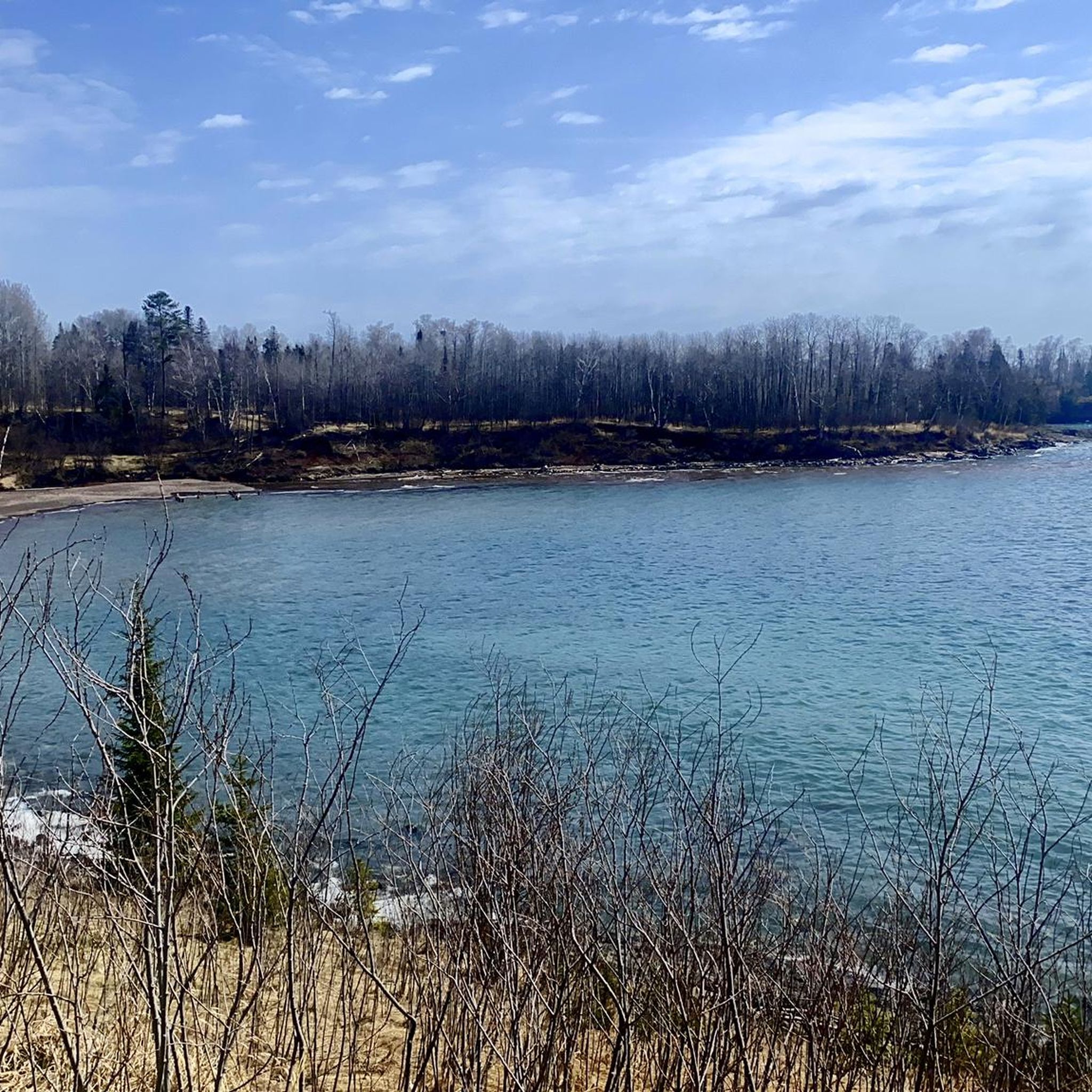
Tips from the Community

Incredible views of the grand lighthouse of Split Rock. On the edge of the cliff overlooking Lake Superior the Lighthouse is a historic monument worthwhile visiting.
0
0

High Falls is a popular stop in Tettegouche State Park. The waterfall is the largest waterfall in Minnesota, with a drop of 70 feet.
0
0
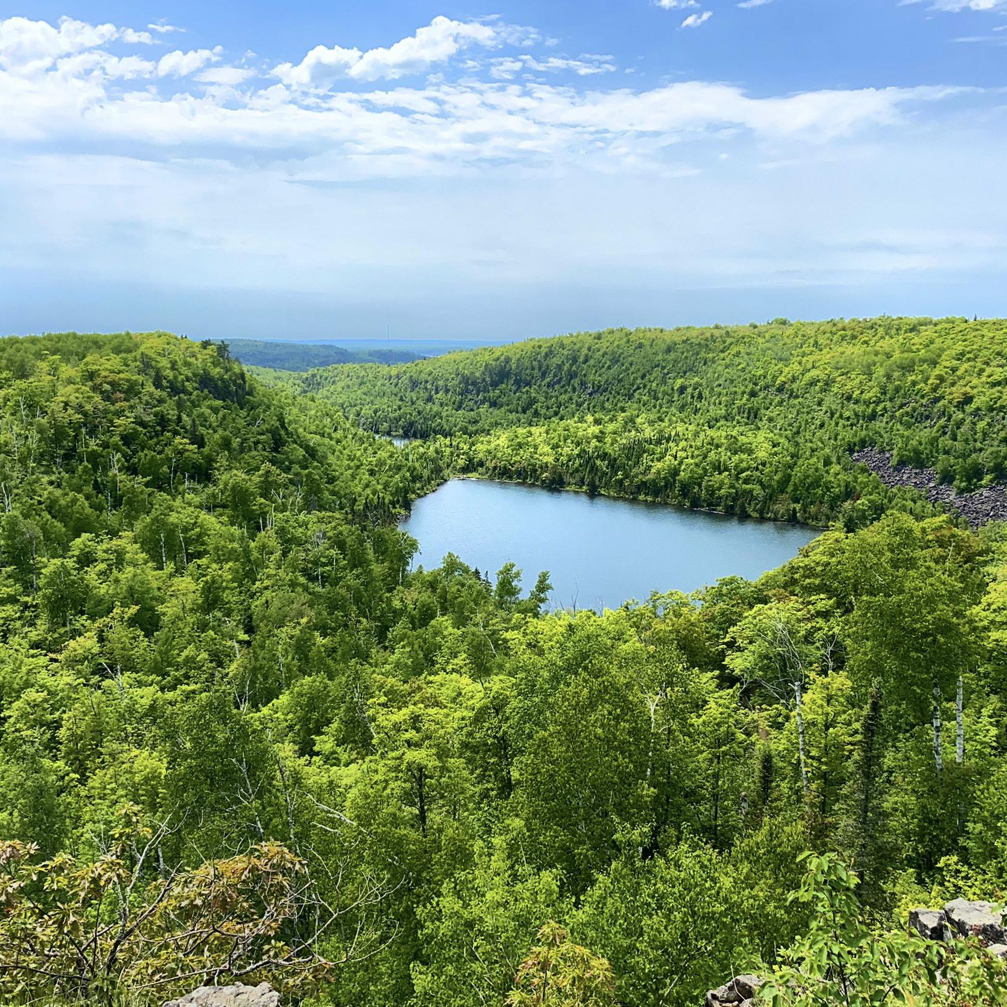
One of several popular viewpoints along the Superior Hiking Trail, at this point there is a great view from the path of Bear Lake. The lake is in a peaceful setting, surrounded by dense forest.
0
0
Great viewpoint of Lake Superior and Bean Lake. The path to get up to the overlook is not too challenging, so it is definitely worth the effort to get to the top.
0
0
Split Rock Lighthouse is the most popular attraction in the state park that bears its name. The lighthouse was built in 1910 and overlooks Lake Superior. There are tours available to go into the lighthouse and learn more about its history.
0
0

From that spot you can enjoy a great view of Bear Leak below you. The clear waters and the reflections of the beautiful surrounding forest can be seen from here, so make sure to take some pictures while hiking along the Superior Hiking Trail.
1
0
With a drop of 70 feet, High Falls on the Baptism River is the tallest waterfall in the state of Minnesota. It serves as a popular photo motif and a great hiking location.
0
0
Frequently Asked Questions
How many hiking trails are available around Beaver Bay?
Beaver Bay offers a good selection of hiking routes, with over 10 trails available. These routes cater to various ability levels, from moderate loops to more challenging long-distance sections, all highly rated by the komoot community.
What kind of landscapes and natural features can I expect to see while hiking in Beaver Bay?
Hikers in Beaver Bay can explore diverse landscapes including rocky cliffs and rugged bluffs that provide panoramic views of Lake Superior. The region is also rich in dense forests of birch, poplar, pine, and spruce. A prominent natural attraction is the Beaver River Falls, a series of cascades dropping 300 feet.
Are there any easy hiking trails suitable for beginners in Beaver Bay?
Yes, Beaver Bay has several easier hiking options. Out of the available routes, 6 are classified as easy, making them suitable for beginners or those looking for a more relaxed walk. The Silver Bay to Beaver Bay via Gitchi-Gami State Trail is a moderate option that follows a paved path, offering constant views of Lake Superior.
Can I find trails with waterfalls in the Beaver Bay area?
Yes, the Beaver Bay area is known for its waterfalls. The Beaver River Falls are a significant natural feature, and trails along the Beaver River offer views of these picturesque cascades. Nearby Tettegouche State Park also features Illgen Falls, providing additional waterfall viewing opportunities.
Are there any family-friendly hiking options in Beaver Bay?
While specific 'family-friendly' routes are not explicitly detailed, the easier trails in Beaver Bay would generally be suitable for families. The paved Gitchi-Gami State Trail is ideal for walking and cycling, offering constant views of Lake Superior, which can be a great option for families.
Are dogs allowed on the hiking trails around Beaver Bay?
Many trails in the Beaver Bay area, especially segments of the Superior Hiking Trail and state park trails, are generally dog-friendly, though leash laws and specific park regulations should always be checked beforehand. It's always a good idea to bring water for your pet and clean up after them.
What are some notable landmarks or attractions to look out for on hikes near Beaver Bay?
Hikers near Beaver Bay can discover several interesting landmarks and natural attractions. The iconic Split Rock Lighthouse is a prominent sight, often visible from trails like the Splitrock Lighthouse & Day Hill Loop. Other points of interest include Day Hill for amazing views, and the serene Bean Lake and Bear Lake, which are central to the popular Bean and Bear Lakes Loop.
Are there any circular hiking routes available in Beaver Bay?
Yes, Beaver Bay offers several circular hiking routes. A popular option is the Superior Hiking Trail (Beaver Bay) loop, which is 8.9 km long and takes about 2 hours 32 minutes. Another well-known loop is the Bean and Bear Lakes Loop, covering 10.5 km.
What is the best time of year to go hiking in Beaver Bay?
The best time to hike in Beaver Bay is generally from late spring through fall. Summer offers lush greenery and comfortable temperatures, while autumn provides stunning fall foliage. Some trails may be accessible in winter for snowshoeing or cross-country skiing, but conditions can be challenging.
What do other hikers enjoy most about the trails in Beaver Bay?
The trails in Beaver Bay are highly rated by the komoot community, with an average score of 4.75 stars from over 10 reviews. Hikers often praise the stunning views of Lake Superior, the diverse forested landscapes, and the access to segments of the extensive Superior Hiking Trail.
Are there options for longer, more challenging day hikes near Beaver Bay?
Yes, for those seeking a more challenging experience, Beaver Bay provides access to longer segments of the Superior Hiking Trail. An example is the difficult Beaver Bay to Bean & Bear Lakes via Superior Hiking Trail, which is nearly 25 km long and involves significant elevation changes.
Is parking readily available at trailheads in Beaver Bay?
Parking is generally available at designated trailheads and access points for the Superior Hiking Trail and other local trails in and around Beaver Bay. Specific parking details can often be found on individual trail descriptions or state park websites.
Can I access hiking trails in Beaver Bay using public transport?
Public transport options directly to trailheads in Beaver Bay are limited. Most visitors typically rely on personal vehicles to reach the various hiking access points. Some segments of the Gitchi-Gami State Trail run parallel to Highway 61, which may have limited bus service, but direct trailhead access via public transport is not common.
Are there any specific permits required for hiking in Beaver Bay?
Generally, no specific permits are required for day hiking on most trails in the Beaver Bay area, including segments of the Superior Hiking Trail. However, if you plan to camp overnight at designated campsites along the Superior Hiking Trail or within state parks like Tettegouche, permits or fees may apply. Always check with the relevant park or trail authority for the latest regulations.
Are there any places to eat or grab a coffee near the hiking trails in Beaver Bay?
Beaver Bay, as a small community on the North Shore, offers a few local establishments where hikers can find food and drinks. There are restaurants and cafes in the town itself, providing options for a meal or coffee before or after your hike. For more specific options, it's best to check local listings.
Most popular routes around Beaver Bay
Most popular attractions around Beaver Bay

Get inspired with the komoot mobile app


Explore more
Browse the best Hikes in other regions.
