The best road cycling routes around Pawling
5.0
(13)
500
riders
41
rides
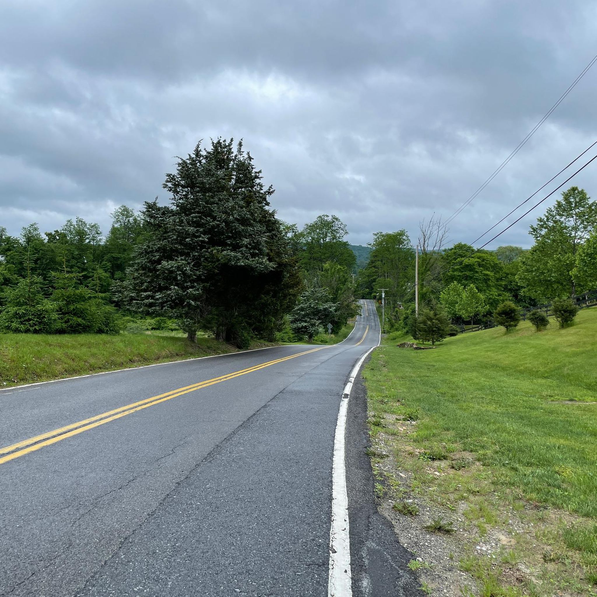
Road cycling routes around Pawling feature diverse terrain, from country vistas and rolling hills to expansive natural features. The area offers a mix of challenging and leisurely cycling opportunities, with some routes including significant elevation gains. Cyclists can explore scenic roads and dedicated trails that wind through woods, farm fields, and wetlands. This landscape provides varied experiences for road cyclists of different fitness levels.
Best road cycling routes around Pawling
- The most popular road cycling route is Whaley Lake –…
Last updated: July 12, 2026
5.0
(8)
137
riders
103km
04:17
620m
620m
Embark on a scenic road cycling journey through the Hudson Valley with the Whaley Lake – Walkway Over the Hudson loop from Patterson. This route offers a delightful mix of…
5.0
(1)
79
riders
46.0km
01:53
240m
240m
Easy road ride. Great for any fitness level. Mostly well-paved surfaces and easy to ride.

Sign up for free
9
riders
67.4km
03:14
660m
660m
Moderate road ride. Good fitness required. Some segments of this route may be unpaved and difficult to ride.
12
riders
19.0km
00:49
90m
90m
Moderate road ride. Great for any fitness level. Some segments of this route may be unpaved and difficult to ride.
6
riders
49.4km
02:17
570m
570m
If you're seeking a road cycling experience that combines natural beauty with a satisfying workout, the Whaley Lake – Whaley Lake loop from Patterson is a solid choice. This moderate…
Get access to more routes and recommendations from other explorers.
Sign up for free
Already have an account?
Our route recommendations are based on thousands of hikes, rides, and runs completed by other people on komoot.
Start today with a free account
Your next adventure awaits.
Login or Signup
Popular around Pawling


Tips from the Community


This paved rail trail traverses two counties in New York — you can bike more than 28 miles on it if you go from end to end. This particular section passes through a sort of wetland land — keep an eye out for birds!
0
0

The Walkway Over the Hudson, also known as the Poughkeepsie Bridge, is a steel cantilever bridge spanning the Hudson River between Poughkeepsie and Highland. Originally it was built as a railroad bridge in 1889, then closed in 1974 due to fire damage and later reopened as a pedestrian walkway in 2009. It connects the Hudson Valley Rail Trail with the Dutchess Rail Trail and is part of the Empire State Trail. Stretching 6,768 feet, it was the world’s longest pedestrian footbridge until 2016. The bridge is free to access and welcomes cyclists as well as foot traffic.
0
0
Frequently Asked Questions
How many road cycling routes are available in Pawling?
Pawling offers a wide selection of road cycling routes, with over 40 routes available on komoot. These routes cater to various preferences, from leisurely rides to more challenging excursions.
Are there road cycling routes suitable for beginners or families in Pawling?
Yes, Pawling has several options ideal for beginners and families. The Maybrook Trailway loop from Town of Patterson is an 11.8-mile (19.0 km) route that leads through dense woods, farm fields, and wetlands, offering a relatively easy ride. The Maybrook Trailway itself is a 15-mile paved, off-road section of the Empire State Trail, welcoming cyclists of all abilities. Another excellent paved option is the Harlem Valley Rail Trail, which provides a smooth surface through farms and historic settlements.
What are some challenging road cycling routes with significant elevation in Pawling?
For cyclists seeking a challenge, Pawling offers routes with notable elevation gains. The area is known for its rolling hills, and some routes feature up to 3,000 feet of climbing. An example is the Seeley Hill – Fantastic descent loop from Patterson, which covers 69.4 miles (111.7 km) and includes over 4,100 feet (1275 m) of ascent. The 'Quaker Ridge' route, a 45-mile hilly ride with 3300 vertical feet, also provides beautiful scenes on quiet back roads.
Can I find long-distance road cycling routes around Pawling?
Yes, Pawling is an excellent base for long-distance road cycling. Routes like the Whaley Lake – Walkway Over the Hudson loop from Patterson span 64.1 miles (103.2 km), connecting to a major landmark and offering extensive riding. Another substantial option is the Seeley Hill – Fantastic descent loop from Patterson, which is nearly 70 miles long.
Which road cycling routes in Pawling offer scenic views?
Many road cycling routes in Pawling provide picturesque views of the region's country vistas, rolling hills, and natural features. The Maybrook Trailway winds through dense woods, farm fields, ponds, and wetlands. For broader landscapes, routes that traverse areas near the Great Swamp or offer glimpses of the Harlem Valley, such as those near Hammersley Ridge, provide stunning scenery. The Seeley Hill – Bulls Bridge loop from Pawling also features varied terrain with scenic sections.
Are there loop road cycling trails in Pawling?
Yes, Pawling offers numerous loop road cycling routes. Popular options include the Whaley Lake – Walkway Over the Hudson loop from Patterson, the Seeley Hill – Bulls Bridge loop from Pawling, and the Maybrook Trailway loop from Town of Patterson. These loops allow cyclists to experience diverse landscapes without retracing their path.
What attractions or points of interest can I see along road cycling routes in Pawling?
Along Pawling's road cycling routes, you can encounter various natural and scenic attractions. The Maybrook Trailway itself is a significant point of interest, offering views of wetlands and diverse landscapes. Some routes pass by Whaley Lake, providing beautiful lakeside scenery. The region is also home to the Great Swamp, a protected wetland, and the Appalachian Trail, which offers a 1,600-foot boardwalk section.
Where can I find paved, off-road cycling options in Pawling?
For paved, off-road cycling, the Maybrook Trailway is a prime choice. This 15-mile section of the Empire State Trail is fully paved and runs from Pawling to Hopewell Junction, offering a smooth and accessible ride. Another excellent option is the Harlem Valley Rail Trail, which also provides a paved surface along an abandoned railway line, stretching for 23 continuous miles from Wassaic.
What do other cyclists say about road cycling in Pawling?
The road cycling routes in Pawling are highly regarded by the komoot community, with an average rating of 4.2 stars from over 10 reviews. More than 400 road cyclists have used komoot to explore the area, often praising the diverse terrain, country vistas, and dedicated trails that offer both challenging and leisurely opportunities.
Are there specific trails that are part of larger regional networks?
Yes, Pawling is home to key trails that are part of larger networks. The Maybrook Trailway is a significant section of the Empire State Trail, connecting Pawling to Hopewell Junction. The Harlem Valley Rail Trail is another extensive paved trail that follows an abandoned railway line, offering a continuous 23-mile section through the region. These trails provide excellent opportunities for longer rides and exploration of the wider Hudson Valley.
Are there any resources for more information on the Maybrook Trailway or Harlem Valley Rail Trail?
For more detailed information on the Maybrook Trailway, you can visit the official New York State Parks website: ny.gov. For details on the Harlem Valley Rail Trail, the Dutchess County Parks Department provides information here: dutchessny.gov.
Most popular routes around Pawling
Most popular attractions around Pawling

Get inspired with the komoot mobile app


Explore more
Browse the best Road cycling routes in other regions.
