The best cycling routes in the El Dorado Mountains
4.3
(23)
295
riders
21
rides
Touring cycling in the El Dorado Mountains offers routes through desert landscapes and along the shores of Lake Mead. The region is characterized by rolling hills, historic railroad tunnels, and expansive views of the lake. These routes often follow former railway lines, providing relatively gentle gradients suitable for touring bikes. The terrain includes paved paths and compacted gravel sections, making it accessible for various cycling preferences.
Best touring cycling routes in the El Dorado Mountains
- The most popular touring cycling…
Last updated: October 24, 2026
4.8
(6)
56
riders
21.1km
01:31
400m
400m
Moderate bike ride. Good fitness required. Mostly paved surfaces.
20.9km
01:19
210m
210m
Moderate bike ride. Good fitness required. Mostly paved surfaces.

27.2km
01:58
410m
410m
Moderate bike ride. Good fitness required. Mostly paved surfaces.
23
riders
79.1km
05:13
1,100m
1,100m
Hard bike ride. Very good fitness required. Mostly paved surfaces.
15
riders
31.5km
01:57
300m
300m
Moderate bike ride. Good fitness required. Mostly paved surfaces.
12
riders
46.2km
03:11
750m
750m
Hard bike ride. Very good fitness required. Mostly paved surfaces.
4.0
(1)
13
riders
26.0km
01:34
140m
140m
Easy bike ride. Mostly paved surfaces.
10
riders
20.8km
01:26
380m
380m
Moderate bike ride. Good fitness required. Mostly paved surfaces.
4.5
(2)
11
riders
21.3km
01:18
210m
210m
Moderate bike ride. Good fitness required. Mostly paved surfaces.
4.0
(1)
9
riders
43.5km
02:47
510m
510m
Hard bike ride. Very good fitness required. Mostly paved surfaces.
Get access to more routes and recommendations from other explorers.
Already have an account?
Our route recommendations are based on thousands of hikes, rides, and runs completed by other people on komoot.
Start today with a free account
Your next adventure awaits.

Other adventures in the El Dorado Mountains

Tips from the Community

From the photo's location, it's about 30 km to Las Vegas. In the background on the left of the photo, you can see the Sierra Nevada mountain range with snow, about 90 km away. The air here is so dry that there are almost unlimited far views.
0
0
The shelter with water and a good view can be used as a very nice resting place
0
0
From here, the old town of Boulder City is supposed to begin. Well, that was nothing. But what works well is the connection with the construction of the Hoover Dam. An exhibition and frequent references in the cityscape show this again and again.
0
0
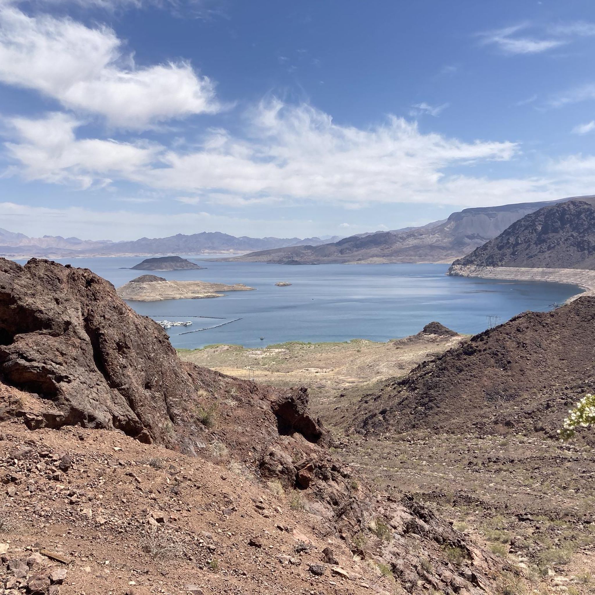
This photo clearly shows the very bright strip that runs around the lake. This strip should be underwater, meaning the water level should be more than 10 m higher. Now it is so low that sometimes not even electricity can be produced, otherwise the lake would quickly empty.
1
0
You drive from Boulder City, Nevada to Lake Mead, more precisely to the Hoover Dam. However, this is already in Arizona. That's why the sign is halfway back.
1
0
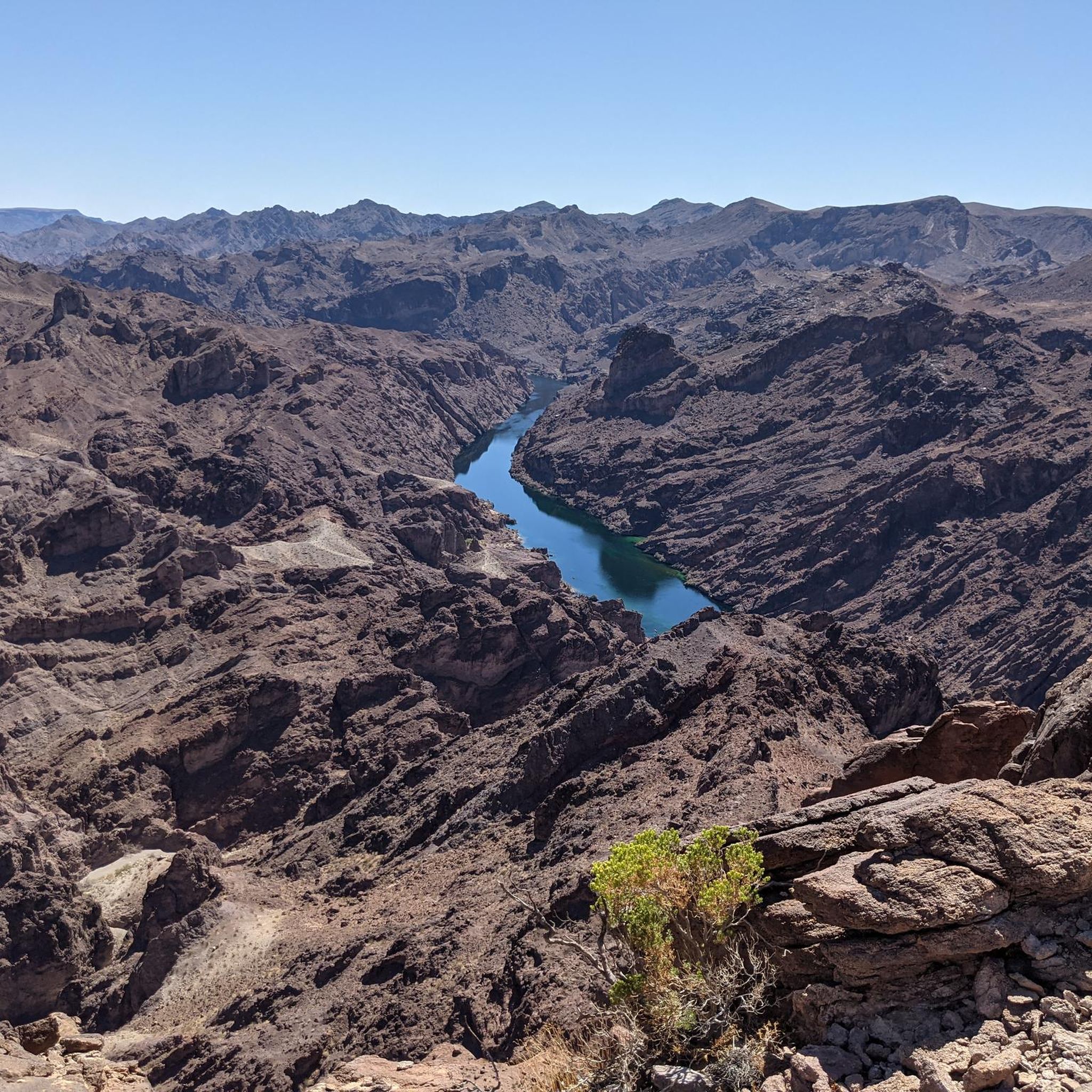
This is the view of the Colorado River gorge after the dam
1
0
Normally, this wouldn't be a highlight. But for one thing, this water level has been like this for years, and for another, it's a testament to how water is managed here.
1
0

Frequently Asked Questions
How many touring cycling routes are available in the El Dorado Mountains?
There are over 10 touring cycling routes in the El Dorado Mountains, offering a variety of experiences through desert landscapes and along Lake Mead. These routes are highly rated by the komoot community, with an average score of 4.6 stars.
Are there any easy touring cycling routes suitable for beginners or families?
Yes, the El Dorado Mountains offer easy touring cycling routes. An excellent option is the View of Lake Mead – Railroad Tunnel Trail loop from Mike O'Callaghan–Pat Tillman Memorial Bridge, which is 5.7 miles (9.2 km) long and provides gentle gradients through scenic areas.
What are some longer distance touring cycling routes in the El Dorado Mountains?
For a longer ride, consider the Boulder Theatre – Boulder Dam Hotel loop from Pacifica Trailhead Parking Lot. This challenging route spans 34 miles (54.8 km) and takes you through diverse terrain with significant elevation changes, offering a full day's adventure.
Are there any circular touring cycling routes in the El Dorado Mountains?
Many routes in the El Dorado Mountains are designed as loops. A popular moderate option is the View of Lake Mead – Railroad Tunnel Trail loop from Historic Railroad Trailhead Parking Lot, which is 7.2 miles (11.6 km) and offers panoramic views and passes through historic railroad tunnels.
What kind of scenery can I expect on touring cycling routes in this region?
The El Dorado Mountains offer diverse scenery, including expansive desert landscapes, stunning views of Lake Mead, and historic railroad tunnels. Routes often follow former railway lines, providing unique perspectives of the natural and man-made features of the area.
What are some notable landmarks or attractions I can see along the cycling routes?
Along the routes, you can explore several interesting landmarks. The Railroad Tunnel Trail itself is a highlight, and you can also find viewpoints like the Lake Mead Overlook and the impressive Hoover Dam. Some routes also pass by natural features like Gold Strike Hot Springs.
Where can I park my car when visiting the touring cycling trails?
Many routes in the El Dorado Mountains start from designated parking areas. For example, the Bike loop from Historic Railroad Trailhead Parking Lot begins directly from a convenient trailhead parking lot, making access straightforward.
What is the best season for touring cycling in the El Dorado Mountains?
The El Dorado Mountains region experiences hot summers. The most comfortable seasons for touring cycling are typically fall, winter, and spring, when temperatures are milder and more conducive to outdoor activities. Always check the local weather forecast before heading out.
Are there any challenging touring cycling routes for experienced riders?
Yes, for experienced riders seeking a challenge, the El Dorado Mountains offer more difficult routes. The Davis Dam to Princess Cove loop is a moderate to difficult route spanning 16.9 miles (27.2 km) with significant elevation gain, providing a rewarding experience for advanced cyclists.
What do other touring cyclists enjoy most about the El Dorado Mountains?
The El Dorado Mountains are highly rated by the komoot community, with an average score of 4.6 stars. Cyclists frequently praise the unique experience of riding through historic railroad tunnels, the breathtaking views of Lake Mead, and the well-maintained paths that cater to various skill levels.
Are there any routes that offer a good mix of lake views and desert terrain?
Absolutely. The Lake Mead Overlook – Railroad Tunnel Trail loop from Pacifica Trailhead Parking Lot is a prime example. This 14.4-mile (23.2 km) route leads through classic desert terrain while consistently offering stunning overlooks of Lake Mead, combining both iconic landscapes of the region.
Most popular routes in the El Dorado Mountains
Most popular attractions in the El Dorado Mountains

Get inspired with the komoot mobile app


Explore more
Browse the best Cycling routes in other regions.
