The 17 Most Amazing Peaks around Schalkenmehren
Best mountain peaks around Schalkenmehren are characterized by the region's unique volcanic landscape, featuring maars and elevated volcanic formations. This area, part of the UNESCO Global Geopark Vulkaneifel, offers insights into Earth's geological history. While not traditional towering peaks, these elevated features provide distinct natural beauty and recreational opportunities. Visitors can explore various viewpoints and formations that define the topography of Schalkenmehren.
Best mountain peaks around Schalkenmehren
- The most popular mountain peaks is Freudenkoppe Castle Ruins, a castle ruin…
Last updated: July 15, 2026
Dronke Tower on the Mäuseberg
Highlight • Viewpoint
Translated by Google •
Tip by

Maarkreuz Schalkenmehren
Highlight • Viewpoint
Translated by Google •
Tip by

Sign up now to discover places like this
Get recommendations on the best single tracks, peaks, & plenty of other exciting outdoor places.
Sign up for free
Millstone Cave at Nerother Kopf
Highlight • Cave
The millstone cave consists of lava boards and is an artificial cave in the Vulkaneifel, Rhineland-Palatinate. It was created by the production of …
Translated by Google •
Tip by

Windsborn Crater summit
Highlight • Viewpoint
Translated by Google •
Tip by

Freudenkoppe Castle Ruins
Highlight • Castle
Translated by Google •
Tip by
Sign up for free to discover even more peaks around Schalkenmehren.
Sign up for free
Already have an account?
Start today with a free account
Your next adventure awaits.
Login or Signup
Popular around Schalkenmehren
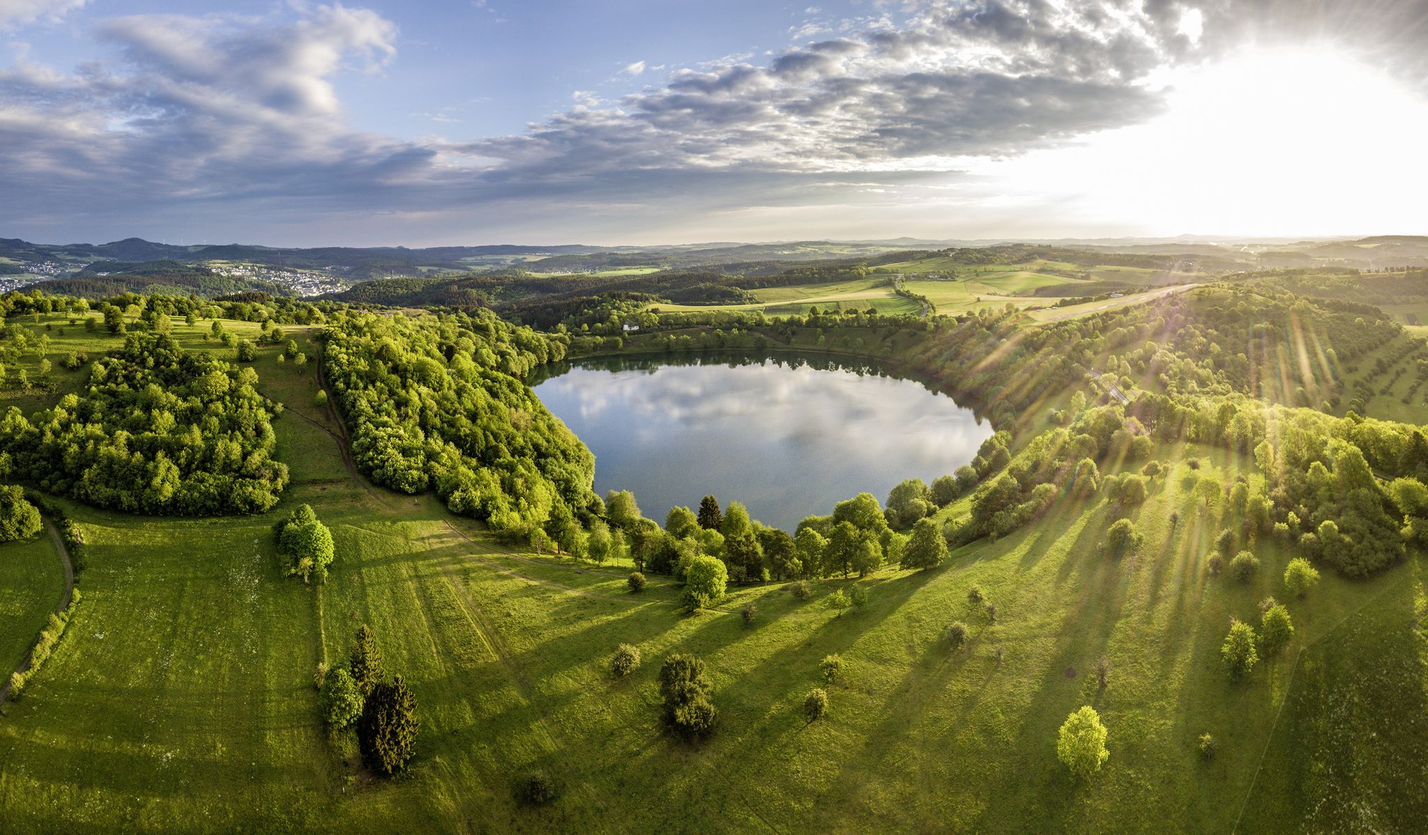
Germany’s Most Beautiful Hiking Trails in the Vulkaneifel
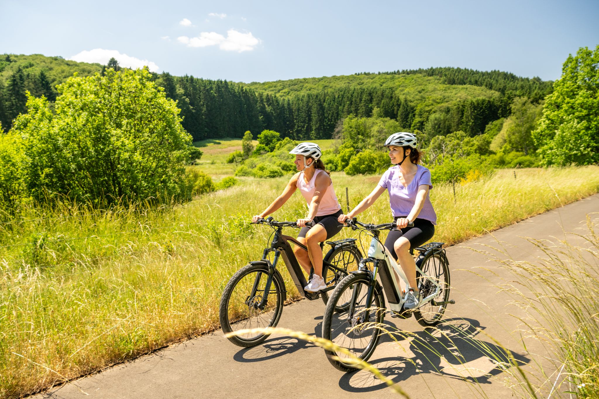
E-biking through the Volcanic Eifel

Excellent paths in the Vulkaneifel – Explore the HeimatSpuren
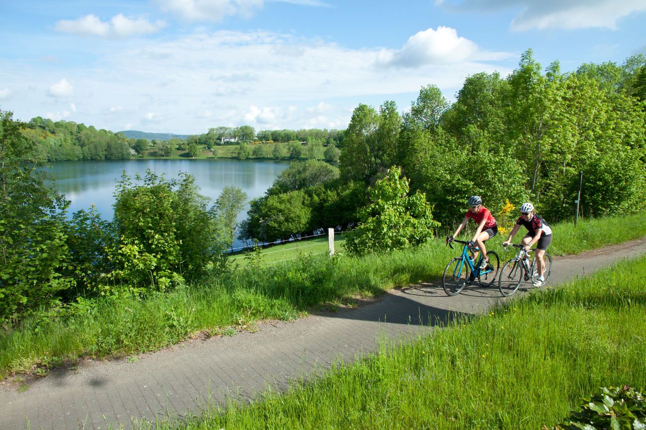
Discover Germany with the Tour in a motorhome and racing bike

Volcanoes, water, forest – the partner trails of the Eifelsteig
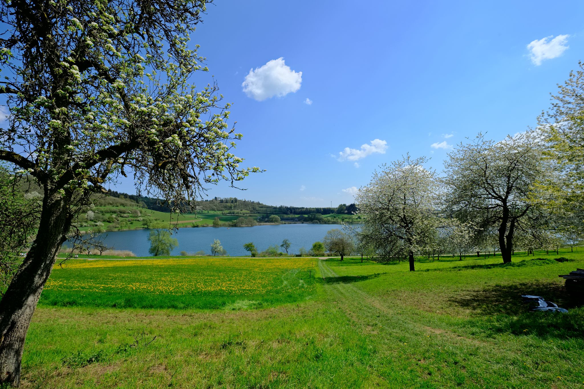
4 days of pure geological history — a tour through the Volcanic Eifel
Hiking around Schalkenmehren
Cycling around Schalkenmehren
MTB Trails around Schalkenmehren
Road Cycling Routes around Schalkenmehren
Other adventures around Schalkenmehren


Tips from the Community

The steep climb to the castle is quite difficult. A real calf biter! But once at the top you forget it all. Beautiful ruin and the cave is more than worth it.
5
0

You just have to go up to this summit cross, it's a pity that there is no summit book.
4
0

Nice view with markers for orientation. The tower, which was built in 1902, is only 11m high, but stands on top of the 560m high Mauseberg and is thus 166m above the Gemünder Maar, guaranteeing a magnificent view of the surrounding area.
14
0
Beautiful view with an information board for orientation. The tower, built in 1902, is only eleven meters high, but stands at the top of the 560-meter-high Mäuseberg and is thus 166 meters above the Gemünder Maar. This guarantees a magnificent view over the surrounding area.
19
1
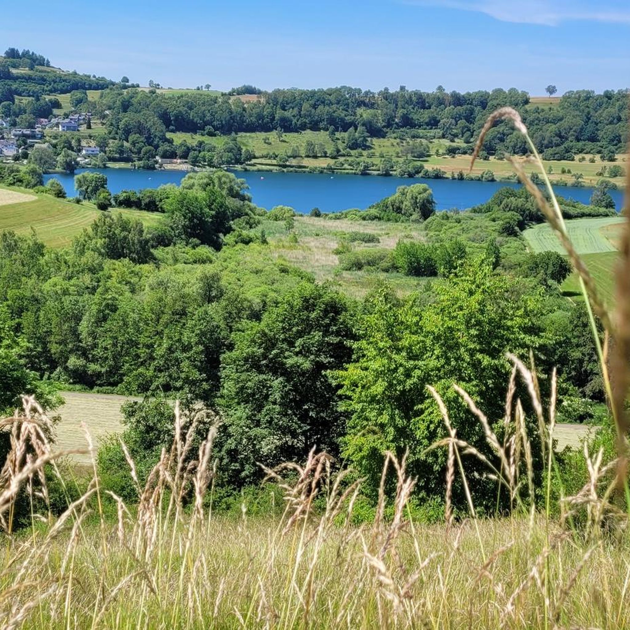
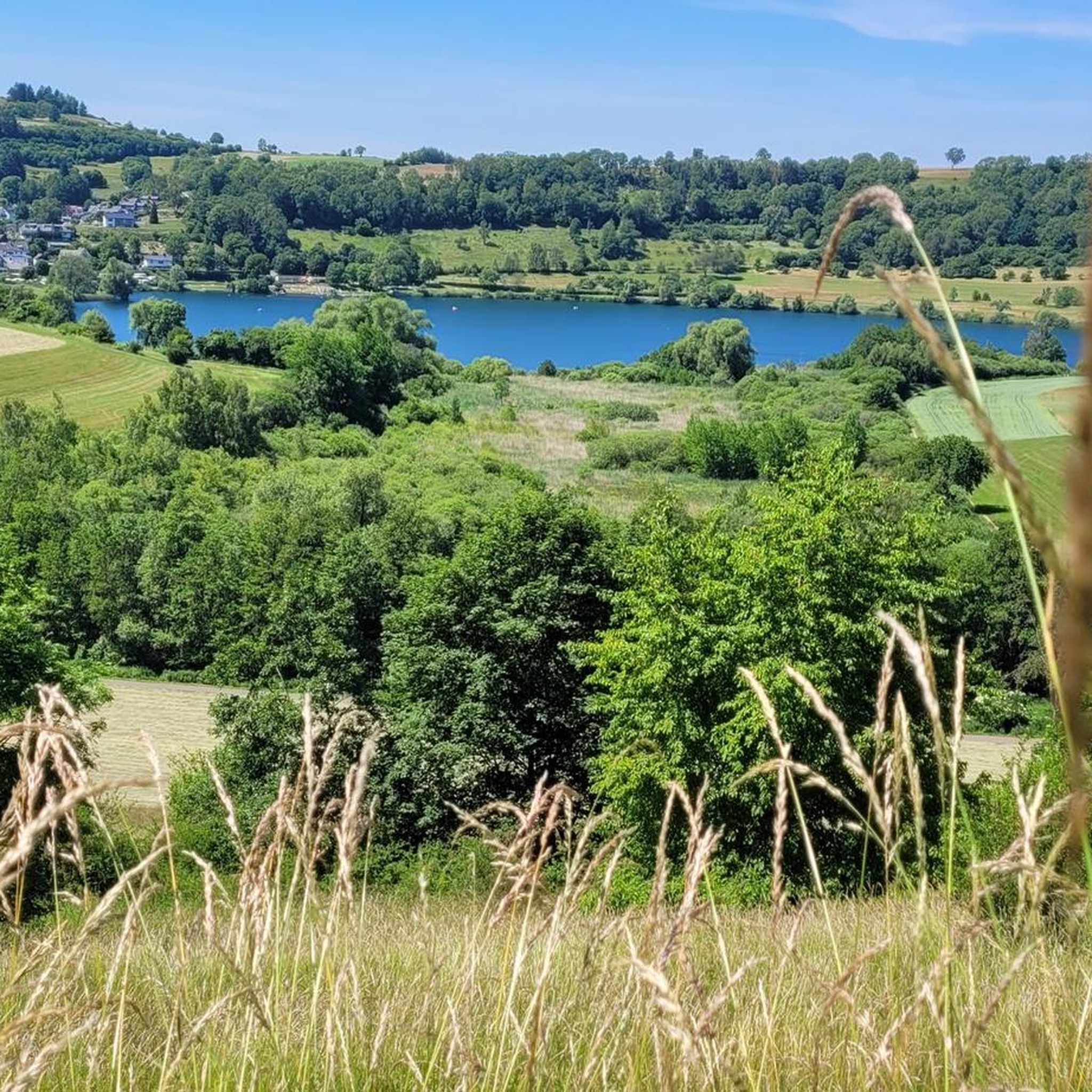
Very nice place and viewing point at the Maarkreuz above the Schalkenmehrener Maar. With its inscription "You are called the Maar Cross, for the salvation of us and this country. Emergency year 1932", the cross commemorates severe thunderstorms and the resulting damage and crop failures.
12
0

Very well preserved ruin. Exploring them with children is a very special experience. Especially nice in late spring when the trees all around are fresh green.
8
0
The Nerother Kopf is an extinct volcano of recent date. It was formed about 15,000 years ago when the earth broke up here and glowing magma welled up from the depths of the earth. At that time, a fracture zone formed in the earth rock, which formed the origin of the volcanic chain "West Eifel". https://www.neroth.de/tourismus/nerother-kopf
6
0
The Millstone Cave is located at the summit of the Neroth Head, a wooded hill of volcanic origin east of Neroth. The entrance is just below the Freudenkoppe castle ruins at an altitude of about 640 m and can be reached via a hiking trail. The cave is 18 meters deep and its vault up to 10 meters high. It is walkable, but unlit (torch required). Wikipedia
5
0
Frequently Asked Questions
What are the most notable elevated features or 'peaks' to explore around Schalkenmehren?
The Schalkenmehren region, part of the UNESCO Global Geopark Vulkaneifel, is characterized by its unique volcanic landscape rather than traditional towering peaks. Notable elevated features include volcanic crater rims, cinder cones, and formations offering panoramic views. Key spots include the Freudenkoppe Castle Ruins, situated on a 610-meter high basalt cone, and the Windsborn Crater summit, which features one of the few volcanic crater lakes north of the Alps.
Where can I find the best panoramic views of the Vulkaneifel landscape?
For breathtaking panoramic views, visit the Dronke Tower on the Mäuseberg. This observation tower offers expansive vistas over the maars and the wider volcanic Eifel landscape. Another excellent viewpoint is the Maarkreuz, which provides a fantastic view of the Schalkenmehrener Maar and the surrounding volcanic terrain.
What is the general difficulty of hiking trails in the Schalkenmehren area?
Hiking trails around Schalkenmehren offer a range of difficulties. You'll find routes categorized from easy to difficult. For instance, the 'Dronke Tower on the Mäuseberg – View of the Weinfelder Maar loop from Daun' is an easy hike, while the 'Volcano Trail' is considered difficult. Many trails, like the 'HeimatSpur MaareGlück' or the 'Schalkenmehrener Maar – Gemündener Maar loop', are moderate. You can explore various options in the Hiking around Schalkenmehren guide.
Are there family-friendly options for exploring the elevated features and maars?
Yes, the region offers several family-friendly options. Many trails around the maars are suitable for families, providing gentle slopes and beautiful scenery. The Maarkreuz viewpoint is noted as family-friendly, offering a relaxing spot with great views. The unique volcanic landscape itself is often fascinating for children to explore.
What kind of historical sites can be found on or near these elevated formations?
The region boasts interesting historical sites. The Freudenkoppe Castle Ruins, located on a basalt cone, offers insight into 14th-century fortifications. Additionally, the Millstone Cave at Nerother Kopf is an artificial cave created by the production of millstones from volcanic rock, with a history dating back before the castle's construction around 1340.
What outdoor activities can I do near the mountain peaks and maars?
The area around Schalkenmehren is excellent for various outdoor activities. Besides hiking, you can enjoy mountaineering and cycling. Popular hiking routes include the 'HeimatSpur MaareGlück' and loops around the maars. For cycling, consider routes like the 'Cycle path on a railroad line – View of the Pulvermaar loop'. Find more options in the Hiking around Schalkenmehren, Mountain Hikes around Schalkenmehren, and Cycling around Schalkenmehren guides.
What makes the volcanic landscape of Schalkenmehren unique?
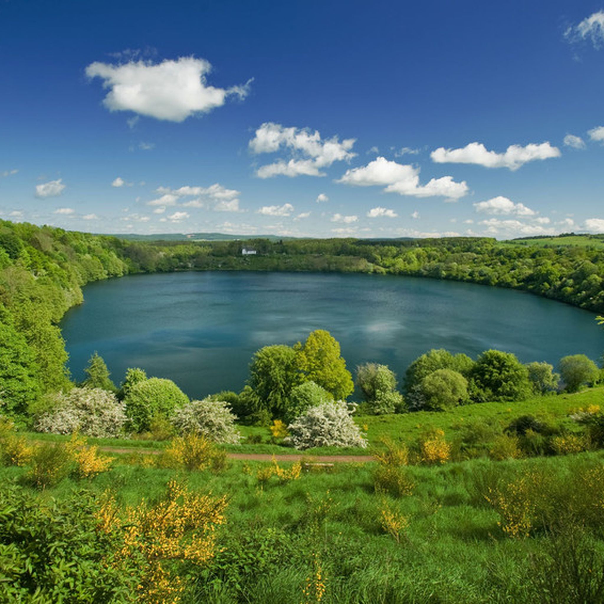
Schalkenmehren's landscape is unique due to its volcanic origins, primarily featuring maars (volcanic crater lakes) and elevated volcanic formations like cinder cones. These geological wonders provide a fascinating insight into Earth's history and offer distinct natural beauty. The region is part of the UNESCO Global Geopark Vulkaneifel, highlighting its geological significance.
Are there any specific trails that offer a good overview of the maars?
Yes, many trails are designed to showcase the stunning maars. The 'Schalkenmehrener Maar – Gemündener Maar loop from Schalkenmehren' is a great option for experiencing two of the region's iconic crater lakes. Additionally, the Dronke Tower on the Mäuseberg offers a direct view of the Gemündener Maar and an impressive perspective of the Weinfelder Maar from its plateau.
What do visitors enjoy most about the elevated spots in Schalkenmehren?
Visitors particularly enjoy the unique views and the tranquility. Tips for the Dronke Tower on the Mäuseberg highlight the wonderful panoramic views over the maars. The Maarkreuz is appreciated as a relaxing place to rest with fantastic views. The Windsborn Crater summit is noted as an ideal, quiet spot for a break or picnic.
Is there a place to observe the night sky near Schalkenmehren's elevated areas?
While not directly a 'peak' for hiking, the Hoher List, a cinder cone in the region, is home to an observatory of the University of Bonn. This suggests it offers elevated, clear vantage points, making it appealing for astronomy enthusiasts and those seeking to observe the night sky.
Can I find any winter sports opportunities on the elevated features?
The Mäuseberg, an elevated area in the Schalkenmehren district, is notable for having a ski lift. This indicates that it offers winter sports opportunities during the colder months, making it a local destination for snow activities.
Most popular routes around Schalkenmehren
Most popular attractions around Schalkenmehren

Get inspired with the komoot mobile app


Explore more
See even more amazing summits around Schalkenmehren with these guides:
