Top 20 Mountain Passes around Tschagguns
Best mountain passes around Tschagguns are situated in the Montafon valley, an alpine region known for its dramatic landscapes and high mountain routes. The area features a blend of impressive engineering and natural splendor, offering access to glaciated peaks and scenic reservoirs. Mountain passes here often serve as historical border crossings and provide panoramic views of the surrounding valleys. The region is characterized by its diverse terrain, suitable for various outdoor activities.
Best mountain passes around Tschagguns
- The most popular…
Last updated: September 29, 2026
Wormser Hut
Highlight • Mountain Hut
Showing Translation
Tip by

St. Antönier Joch Border Crossing
Highlight • Mountain Pass
Translated by Google •
Tip by

Sign up now to discover places like this
Get recommendations on the best single tracks, peaks, & plenty of other exciting outdoor places.
Kristbergsattel
Highlight • Mountain Pass
The mountain bike tour to Bartholomäberg and around the Itonskopf with the best panoramic view is recommended from here.
Translated by Google •
Tip by

Gamsluggen 2,380 m
Highlight • Mountain Pass
Translated by Google •
Tip by

Smuggler's Trail Between Austria and Switzerland
Highlight • Trail
Translated by Google •
Tip by

Sign up for free to discover even more mountain passes around Tschagguns.
Already have an account?
Start today with a free account
Your next adventure awaits.
Popular around Tschagguns

Min Weag long-distance hiking trail – From Lake Constance to the Alps
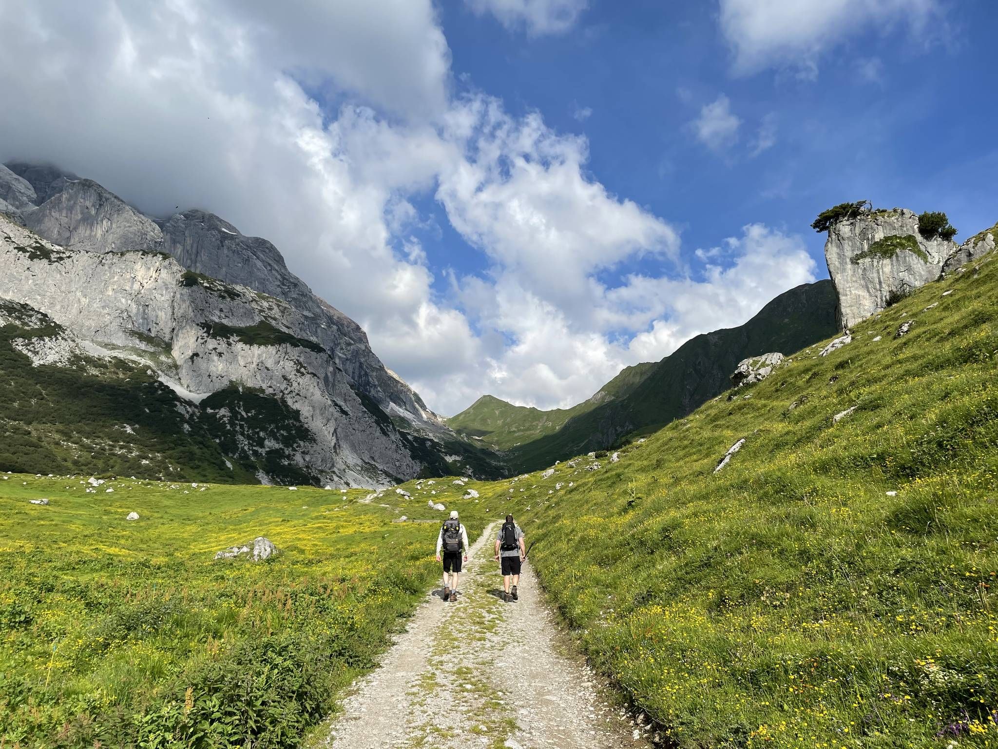
Montafon Hut-to-Hut Hiking Trail – 13 days in Western Austria
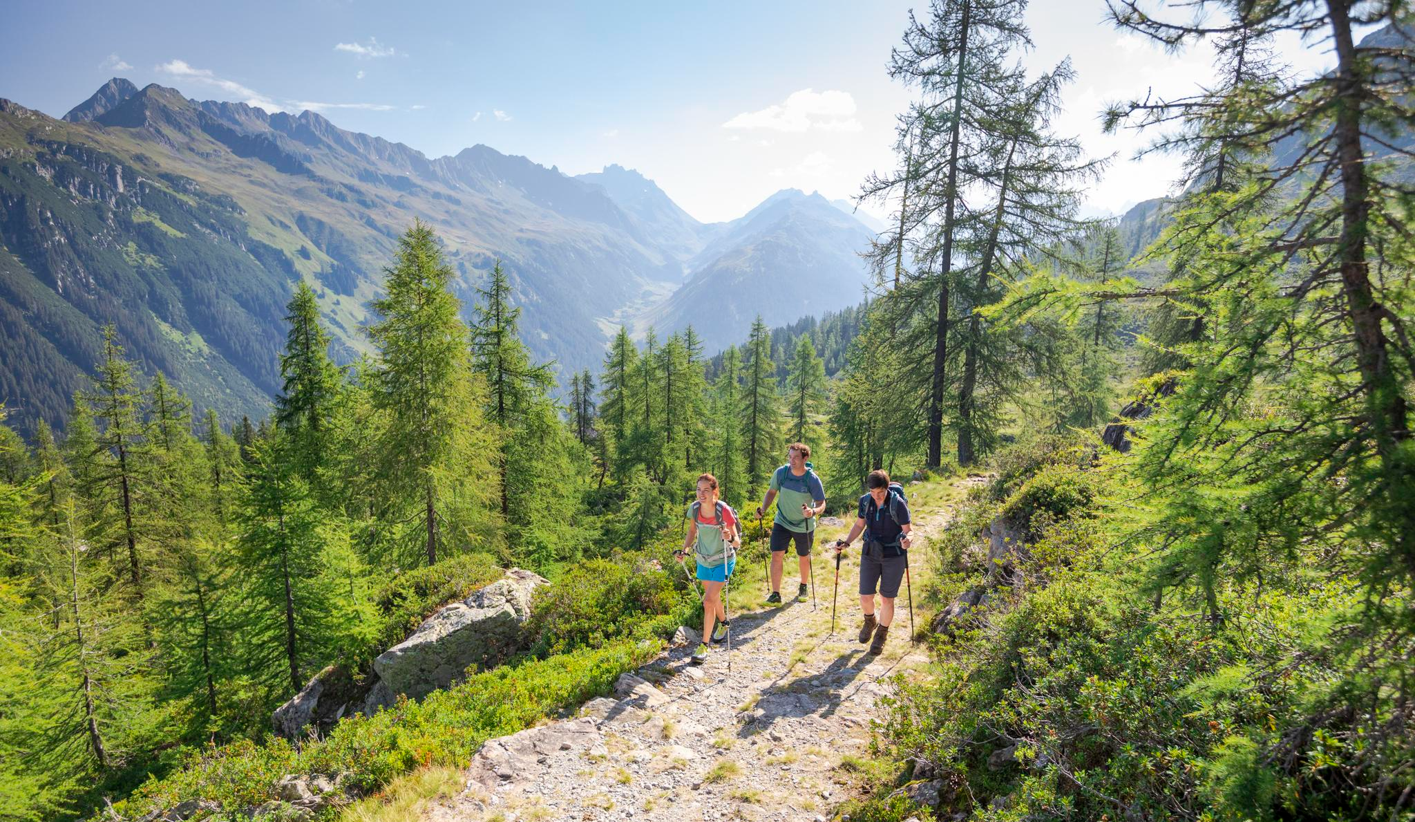
Between Maisäß and Alpe – hiking in Montafon
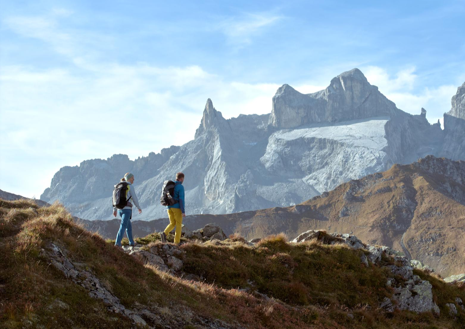
Alpenmosaik Montafon – the most beautiful autumn hikes
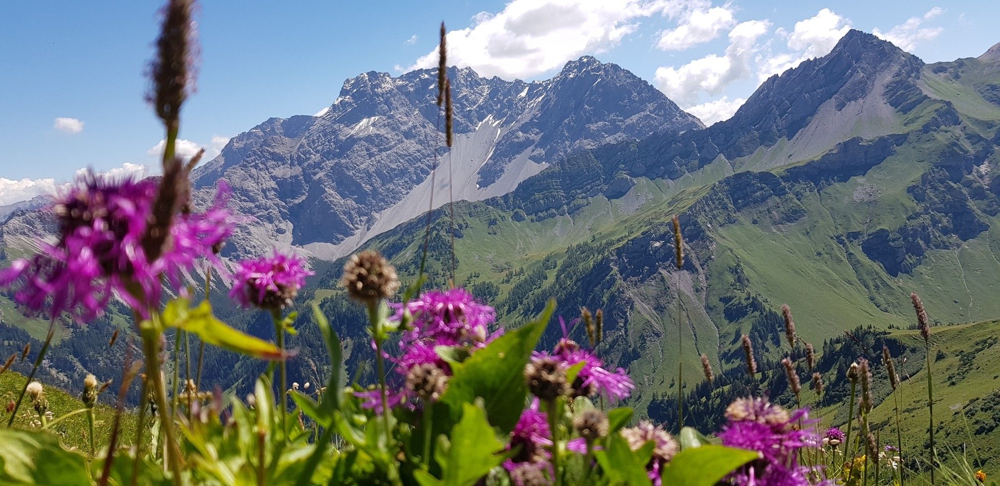
Trans-Rätikon – an adventure in the Tri-Border Region
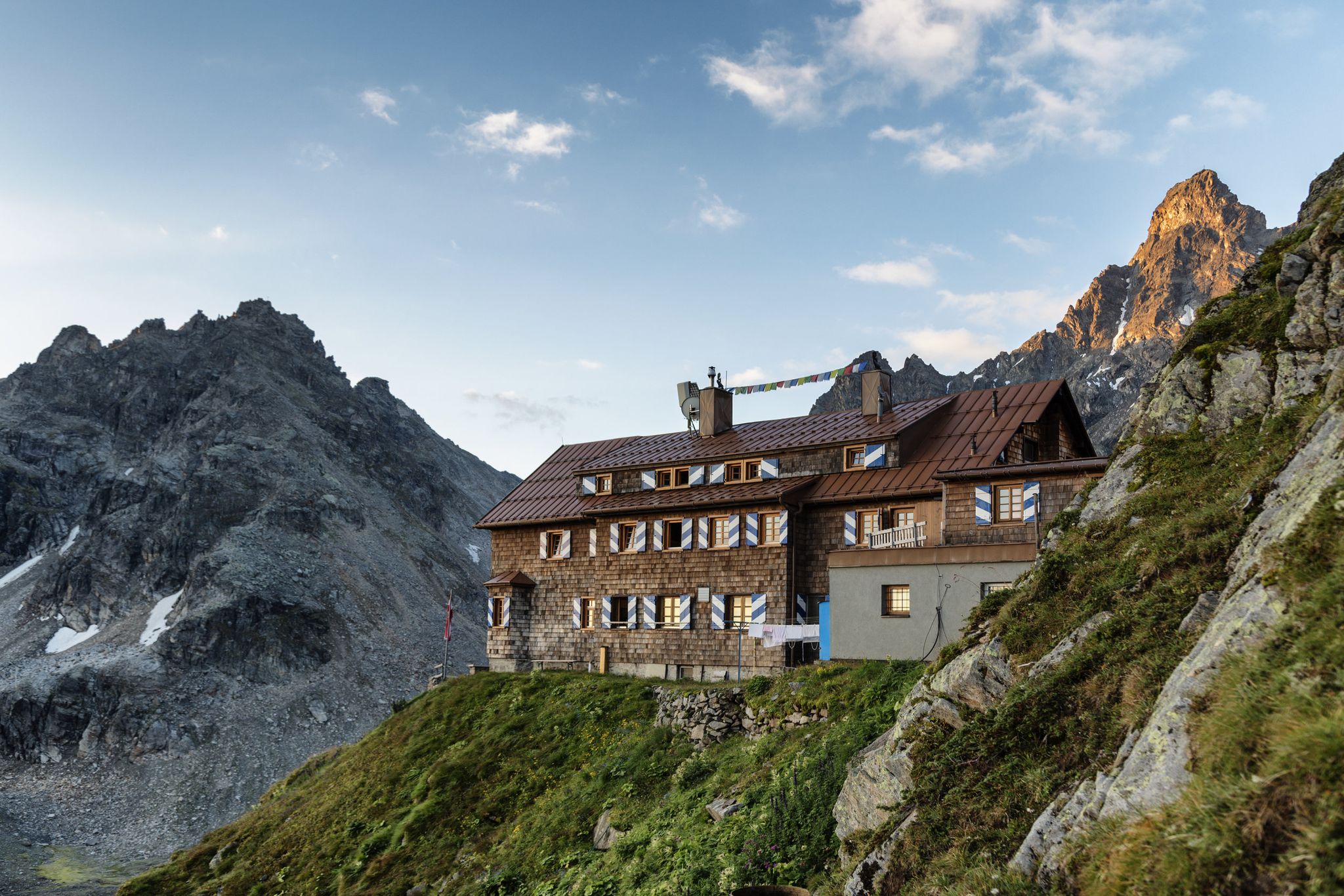
Alpenmosaik Montafon - The Montafoner Hüttenrunde
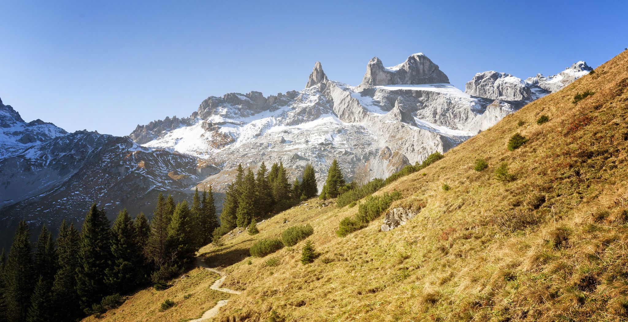
Alpine Mosaic Montafon — Austria’s Rätikon adventure area
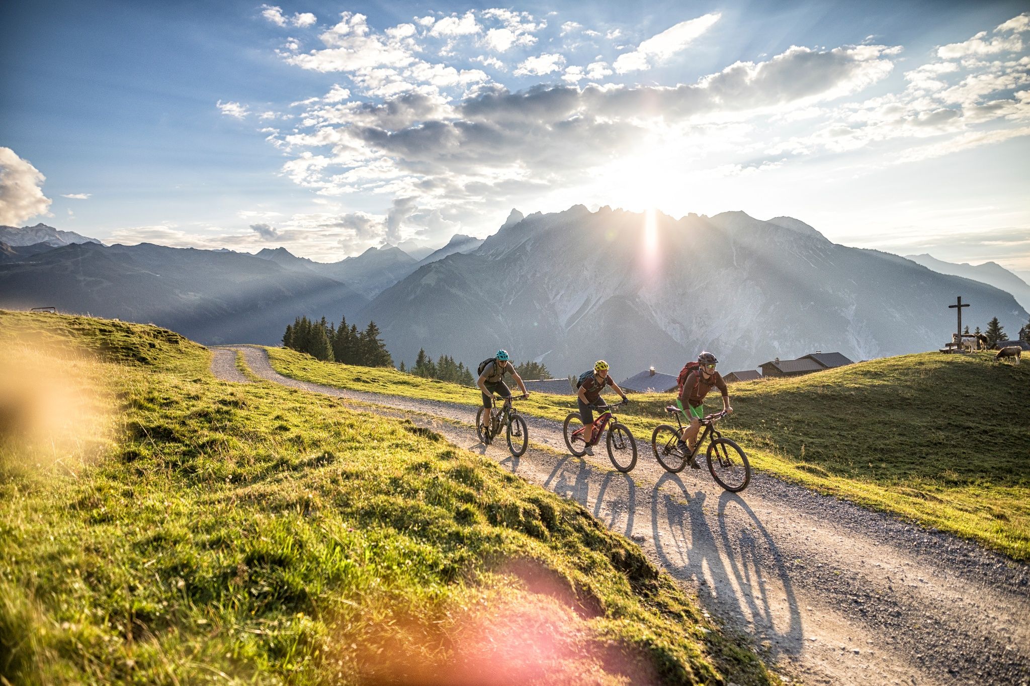
The 10 most beautiful e-mountain bike routes in Montafon
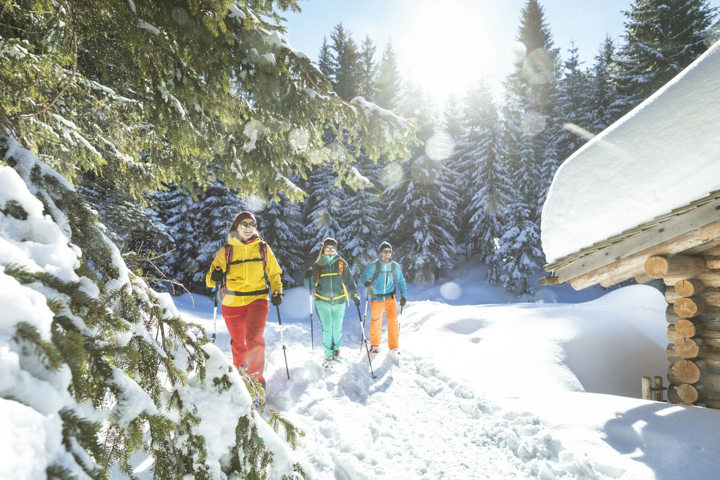
Snowshoe and winter hikes in the Montafon
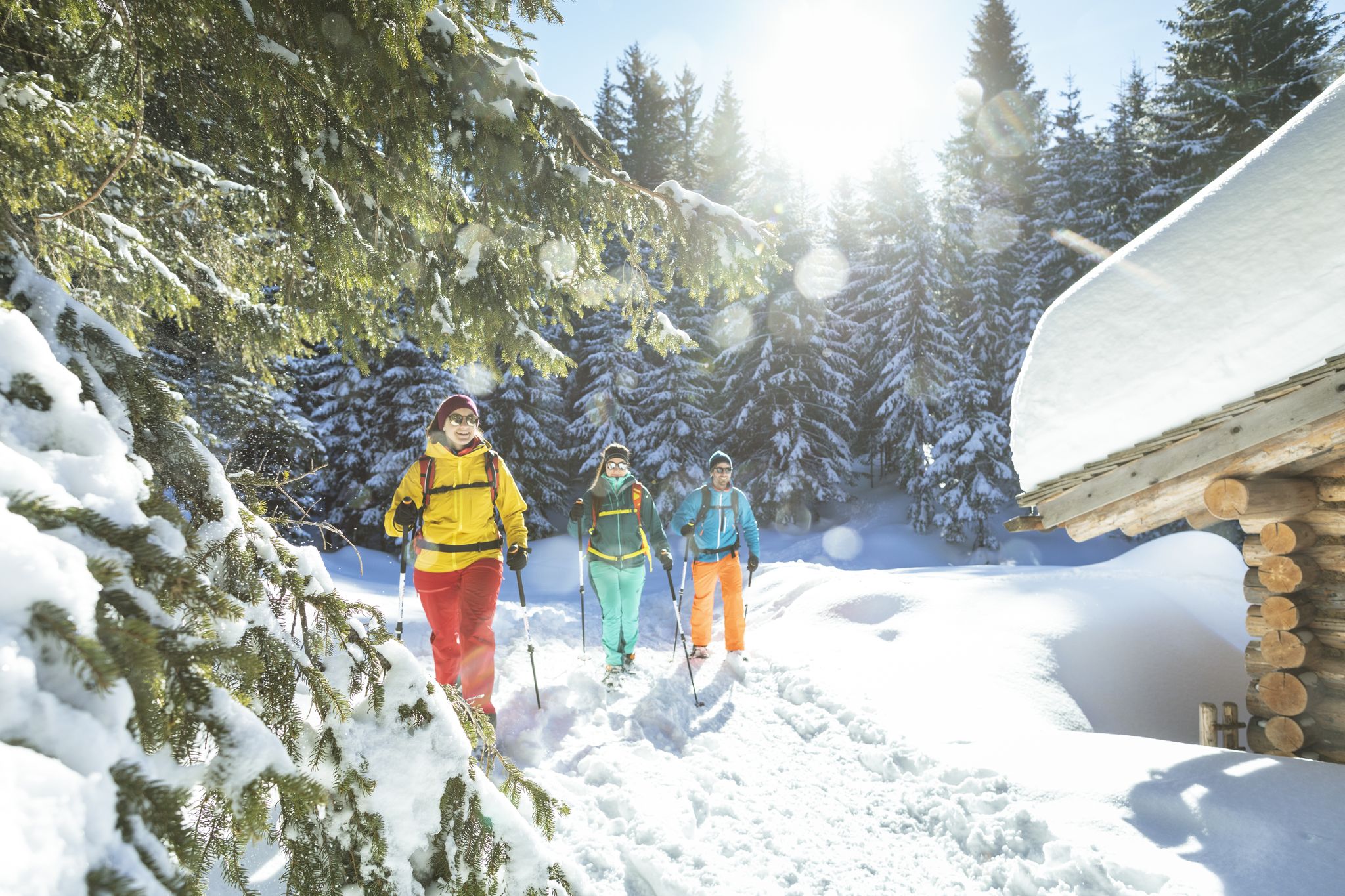
Snowshoe and winter hikes in the Montafon
Other adventures around Tschagguns


Tips from the Community

...a very varied panorama tour...
1
0


I think most people take a break here; it's a nice spot, but then it goes up a bit further.
4
0
Very impressive mountain scenery, was worth the climb.
4
0
As others have written, only attempt it if you are in good shape, have a head for heights and are sure-footed. The Swiss side is much more demanding, so if possible it is better to ascend rather than descend. The climb on the Austrian side is very easy. For the view you could also go up from the Totalp and turn back again.
8
0

The path is very demanding. This is definitely not a route for people with a fear of heights. A head for heights and surefootedness are a must.
6
0
Beautiful view. However, I was charged €59 for mobile data. This is an unacceptable disgrace. So be careful when you cross the Swiss border. RIP-OFF!!!!!!!!🤬🤬🤬🤬
3
4

Take the smugglers' route clockwise for the best impressions. The last part of the route down is not so much.
1
0
Frequently Asked Questions
What is the Silvretta High Alpine Road and Bielerhöhe?
The Silvretta High Alpine Road, often called the 'Dream Road of the Alps,' is a spectacular 22.3 km toll road with 34 hairpin bends connecting Partenen in Montafon with Galtür in Paznaun. Its highest point is the Bielerhöhe, an area renowned for breathtaking alpine scenery, including glaciated peaks and the deep-blue Vermunt and Silvretta lakes.
What natural features can I expect to see along the Silvretta High Alpine Road?
Along the Silvretta High Alpine Road, you'll encounter panoramic views of dramatic alpine landscapes, glaciated peaks, and green slopes. A significant highlight is the Silvretta Reservoir (Silvretta Stausee) at the Bielerhöhe, a beautiful glacial lake with crystal-clear, turquoise waters surrounded by the majestic Silvretta Alps.
Are there any historical sites among the mountain passes near Tschagguns?
Yes, the region features historical passes such as the St. Antönier Joch Border Crossing. Located at 2,379 meters, this historical mountain pass forms a border between Austria and Switzerland and features an old Zollwachhütte that can serve as an emergency shelter. The Silvretta High Alpine Road itself is also an engineering marvel with a rich history.
What kind of activities can I do at the Bielerhöhe?
The Bielerhöhe serves as a popular starting point for numerous activities. You can enjoy leisurely walks around the Silvretta Reservoir, which is about six kilometers and takes two to three hours, or embark on more challenging alpine tours. It's also a favorite spot for photography, and in winter, it transforms into a ski touring hotspot.
Are there family-friendly mountain passes or trails near Tschagguns?
Yes, the Kristbergsattel is considered family-friendly. From here, you can access trails like the Silberpfad, which is recommended for families with children. The area around the Silvretta Reservoir at Bielerhöhe also offers easy walks suitable for families.
What are some popular hiking trails around the mountain passes?
Many hiking trails start from the Bielerhöhe, ranging from easy walks around the Silvretta Reservoir to more challenging alpine tours. For a unique experience, the ascent to Cavelljoch (Gafalljoch) from Lünersee offers breathtaking views and the chance to stand with one foot in Switzerland and one in Austria. The St. Antönier Joch Border Crossing also offers a great hiking trail between Austria and Switzerland, though it requires good shoes and surefootedness.
What are the difficulty levels for mountain passes and trails in the region?
The region offers a variety of difficulty levels. Passes like the Kristbergsattel are generally intermediate and family-friendly. However, trails to passes like St. Antönier Joch Border Crossing and Gamsluggen 2,380 m are challenging, often involving scree fields, exposed places secured with wire rope, and requiring sure-footedness and a head for heights.
Are there places to eat or stay near the mountain passes?
Yes, at the Bielerhöhe, there are hotels and restaurants, including the Silvrettahaus. The Wormser Hut is another popular spot known for its delicious food, excellent homemade apple strudel, and even a Kneipp pool for relaxation after a hike.
What are the best times to visit the mountain passes around Tschagguns?
The Silvretta High Alpine Road is typically open from late spring to autumn. The summer months are ideal for hiking and cycling, with the flowering flora of the Alps being particularly beautiful in early summer. For winter sports, the Bielerhöhe transforms into a ski touring hotspot, accessible via cable car and bus when the main road is closed.
What cycling opportunities are available near the mountain passes?
The Silvretta High Alpine Road is a favorite among car and motorbike enthusiasts, but it's also a popular route for mountain bikers, with the Silvretta Bike Safari being a notable example. For road cycling, you can explore routes like the 'Lake Silvretta Tour' or 'Bartholomäberg – Innerberg Climb loop from Tschagguns'. Gravel biking options include the 'Silbertal Gravel Tour'. You can find more details on these routes in the Road Cycling Routes around Tschagguns, Gravel biking around Tschagguns, and Cycling around Tschagguns guides.
What do visitors enjoy most about the mountain passes in this region?
Visitors consistently praise the absolutely stunning beauty and grandeur of the alpine scenery, especially along the Silvretta High Alpine Road. The unique blend of impressive engineering, natural splendor, and driving pleasure is highly appreciated. Many also enjoy the diverse hiking opportunities, from leisurely walks around the Silvretta Reservoir to challenging alpine tours, and the delicious food and hospitality at huts like the Wormser Hut.
Are there any specific viewpoints I should look out for?
Absolutely. The Bielerhöhe itself offers wide-open views of the high mountains. From the Cavelljoch (Gafalljoch), the view from the ascent from Lünersee is breathtaking. The Wormser Hut is also a known viewpoint, and the Kristbergsattel provides beautiful panoramic views of the Klostertal, Silbertal, and Hochjoch.
Most popular routes around Tschagguns
Most popular attractions around Tschagguns

Get inspired with the komoot mobile app


Explore more
See even more epic mountain passes by checking out these guides around Tschagguns:
