The best walks and hikes around Erstfeld
4.4
(120)
1,262
hikers
19
hikes
Hiking around Erstfeld offers a diverse landscape within the Uri Valley, characterized by its Alpine environment. The region features the Reuss Valley, with its river and surrounding Uri mountains, alongside numerous mountain peaks and expansive alpine meadows. Hikers can encounter steep cliffs, glaciers, glacier rivers, and waterfalls, with trails often ascending through forests to panoramic viewpoints. The area also includes significant mountain passes, such as the Gotthard Pass, adding to the varied terrain.
Best hiking trails around Erstfeld
- The most popular hiking route is Bälmeter Grätli – Bälmeten Summit loop from Erstfeld, a 7.9 miles (12.7 km) difficult trail that takes 6 hours 6 minutes to complete. This route offers panoramic views from the summit, requiring alpine experience.
- Another top favourite among local hikers is From the Hofstetten-Wilerli mountain station to Lake Fulen, a difficult 8.2 miles (13.2 km) path. This trail leads through alpine terrain to Lake Fulen, providing a challenging experience.
- Local hikers also love the Reuss Suspension Bridge – The Reuss River loop from Erstfeld, a 2.1 miles (3.5 km) trail leading through the Reuss Valley, often completed in about 56 minutes.
- Hiking around Erstfeld is defined by the Reuss Valley, Alpine peaks, and glaciers, with trails ranging from easy river loops to challenging alpine ascents. The network offers options for various ability levels, from short, accessible paths to demanding mountain routes.
- The routes in Erstfeld are highly rated by the komoot community with an average score of 4.3 stars from nearly 100 reviews. More than 1,100 hikers have used komoot to explore Erstfeld's varied terrain.
Last updated: October 1, 2026
5.0
(3)
33
hikers
13.2km
07:04
980m
1,050m
Hard hike. Very good fitness required. Sure-footedness, sturdy shoes and alpine experience required.
3.2
(5)
35
hikers
28.4km
07:33
250m
250m
Hard hike. Very good fitness required. Mostly accessible paths. Sure-footedness required.

3.0
(1)
14
hikers
12.8km
06:21
1,280m
1,280m
Hard hike. Very good fitness required. Sure-footedness, sturdy shoes and alpine experience required.
16
hikers
3.96km
01:02
20m
30m
Easy hike. Great for any fitness level. Easily-accessible paths. Suitable for all skill levels.
16
hikers
4.83km
01:17
50m
50m
Easy hike. Great for any fitness level. Easily-accessible paths. Suitable for all skill levels.
Get access to more routes and recommendations from other explorers.
Already have an account?
Our route recommendations are based on thousands of hikes, rides, and runs completed by other people on komoot.
Start today with a free account
Your next adventure awaits.
Popular around Erstfeld

Trans Swiss Trail – Hiking across Switzerland
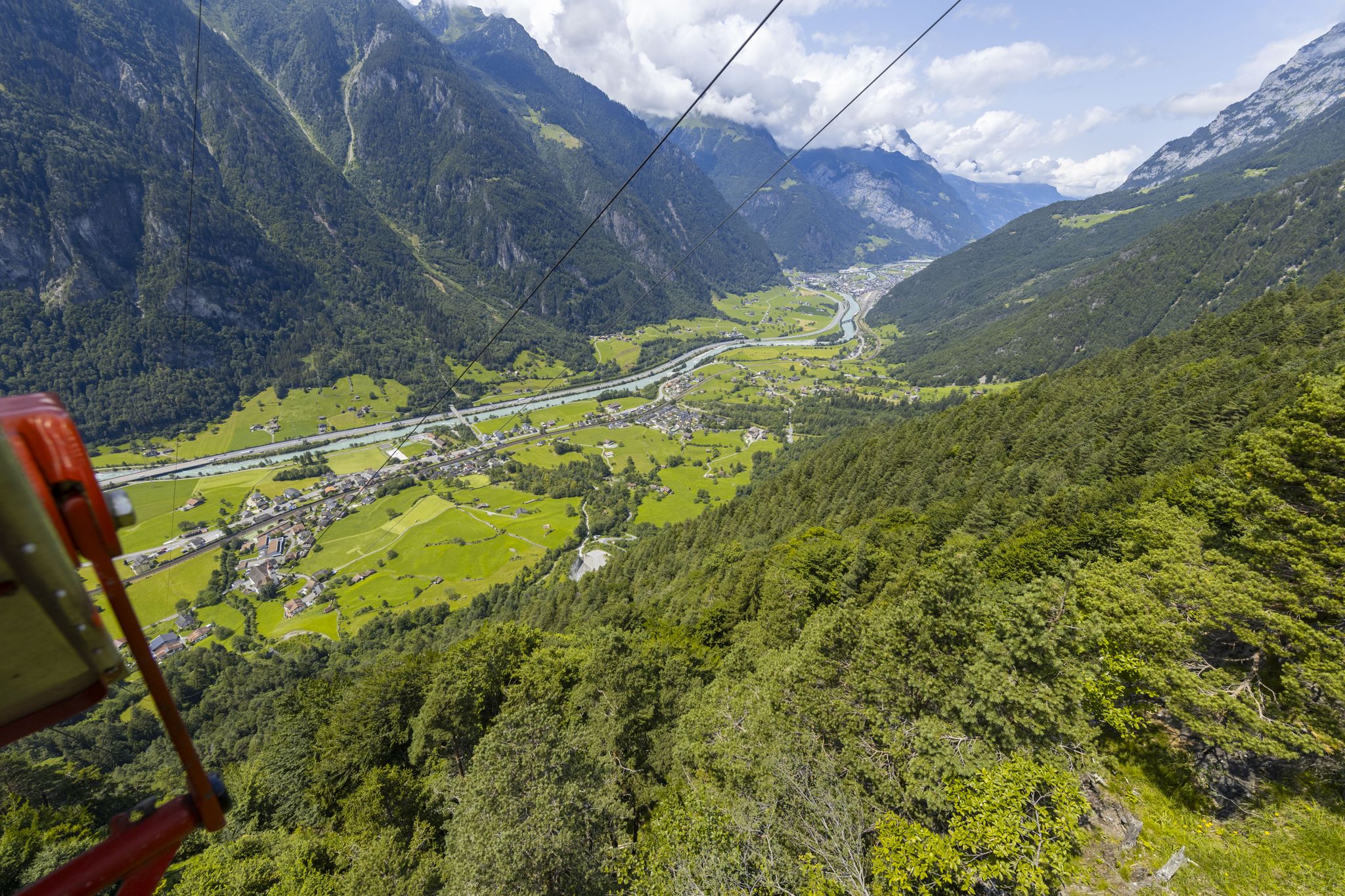
Take the cable car and hike to mountain lakes in Uri
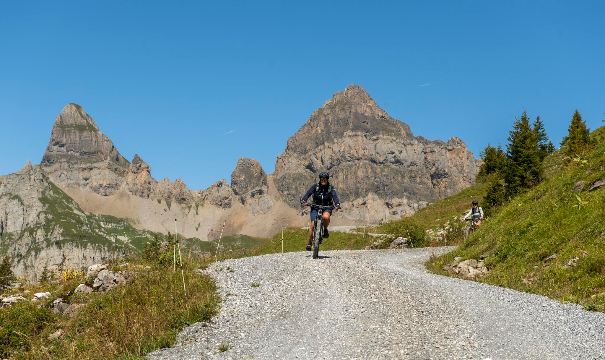
Mountain biking in the heart of Switzerland
Road Cycling Routes around Erstfeld
Cycling around Erstfeld
MTB Trails around Erstfeld

Mountain Hikes around Erstfeld
Gravel biking around Erstfeld
Running Trails around Erstfeld


Tips from the Community

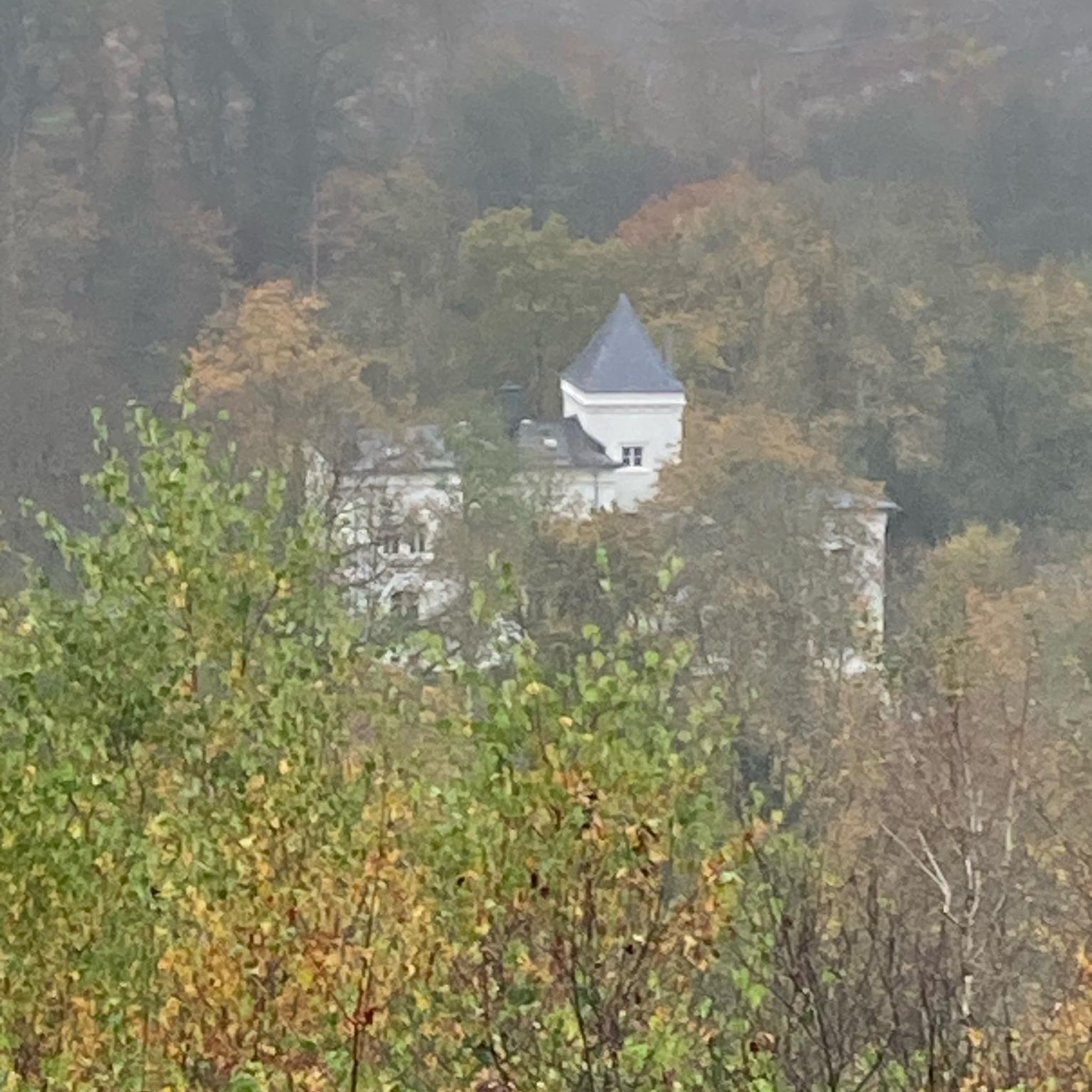
Meierturm Silenen / Tower of the Noble Barons of Silenen The "Tower of the Noble Barons of Silenen", once a five-story residential tower, dates back to the 12th century. The "Noble Barons of Silenen" served here as so-called "Meier" and collected the tithes and interest for the Fraumünster Abbey. In 1989, the tower was renovated and provided with a walkway and a roof. The current owner of the tower is the canton of Uri. In the summer of 2002, the tower was made accessible to the public with a staircase. The tower can be rented for events. Information can be obtained from the Silenen municipal administration, Tel. 041 884 81 10 Text / Source: Silenen Municipal Administration, Gotthardstrasse 217, Silenen https://silenen.ch/tourismus/brauchtum-historisches/historische-bauten/turm-der-edlen-freiherren-von-silenen
10
0

The Meierturm (also known as Turm der Edlen von Silenen) is located in the Swiss municipality of Silenen in the canton of Uri. The nobles of Silenen served as Meier for the Fraumünster Abbey in Zurich and managed its assets in the middle Reuss valley. The tower, built in the 13th century, served as their residence and administrative seat. The Meierturm is a cultural asset of national importance, KGS-Nr. 10449. 94 steps lead to the inner viewing platform at a height of 16 meters. From here, there is a view of the two villages Amsteg and Silenen, as well as the surrounding mountains of the Uri and Glarus Alps. Source: https://de.wikipedia.org/wiki/Meierturm_Silenen
2
0

Bälmeten is a distinctive mountain above the Urner Reusstal valley and a popular destination for mountain hikers. The summit offers an impressive view of the alpine landscape around the Urnersee. The ascent requires surefootedness and stamina, but rewards with tranquility, nature, and impressive views down into the valleys as well as magnificent views of surrounding peaks.
1
0

We did the tour backwards on May 3, 2025. It was great until halfway through. But then: It was still not very walkable, and the bridge over a waterfall was still beside us. Luckily, we found a way across the river, but it was simply too early to continue on that path.
0
0
We did the tour backwards on May 3, 2025. It was great until halfway through. But then: It was still not very walkable, and the bridge over a waterfall was still out of bounds. Luckily, we found a way across the river, but it was simply too early to take the path.
0
1

A small asphalt road leads up to the top station of the Wilerli cable car station (not for bikes). Thanks to the solid surface, you can easily get up from the Erstfeldertal and admire the magnificent view of the Central Swiss mountains on the way here.
1
0

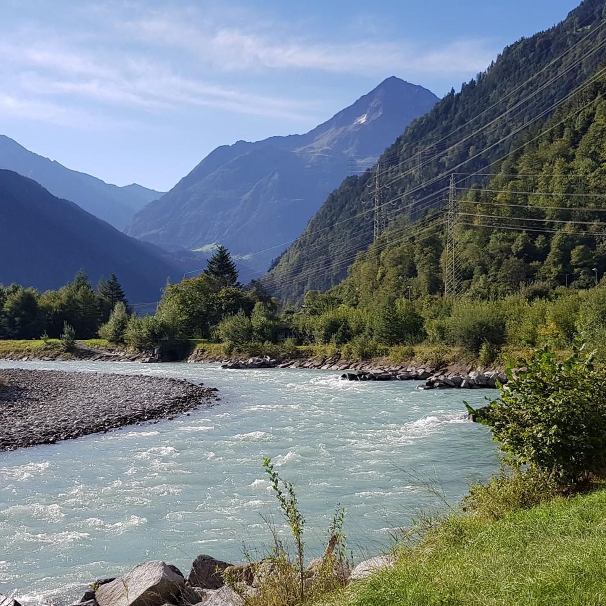
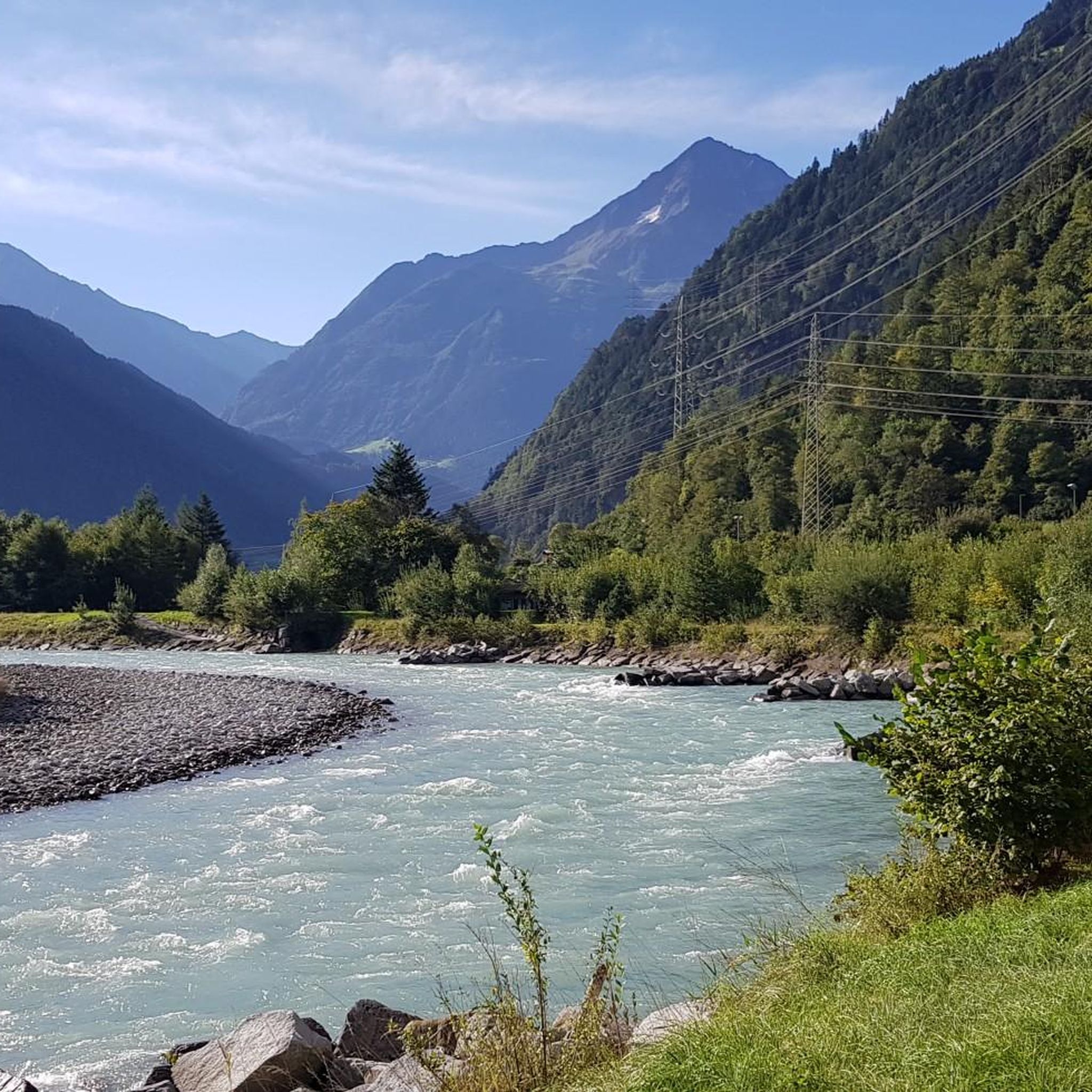
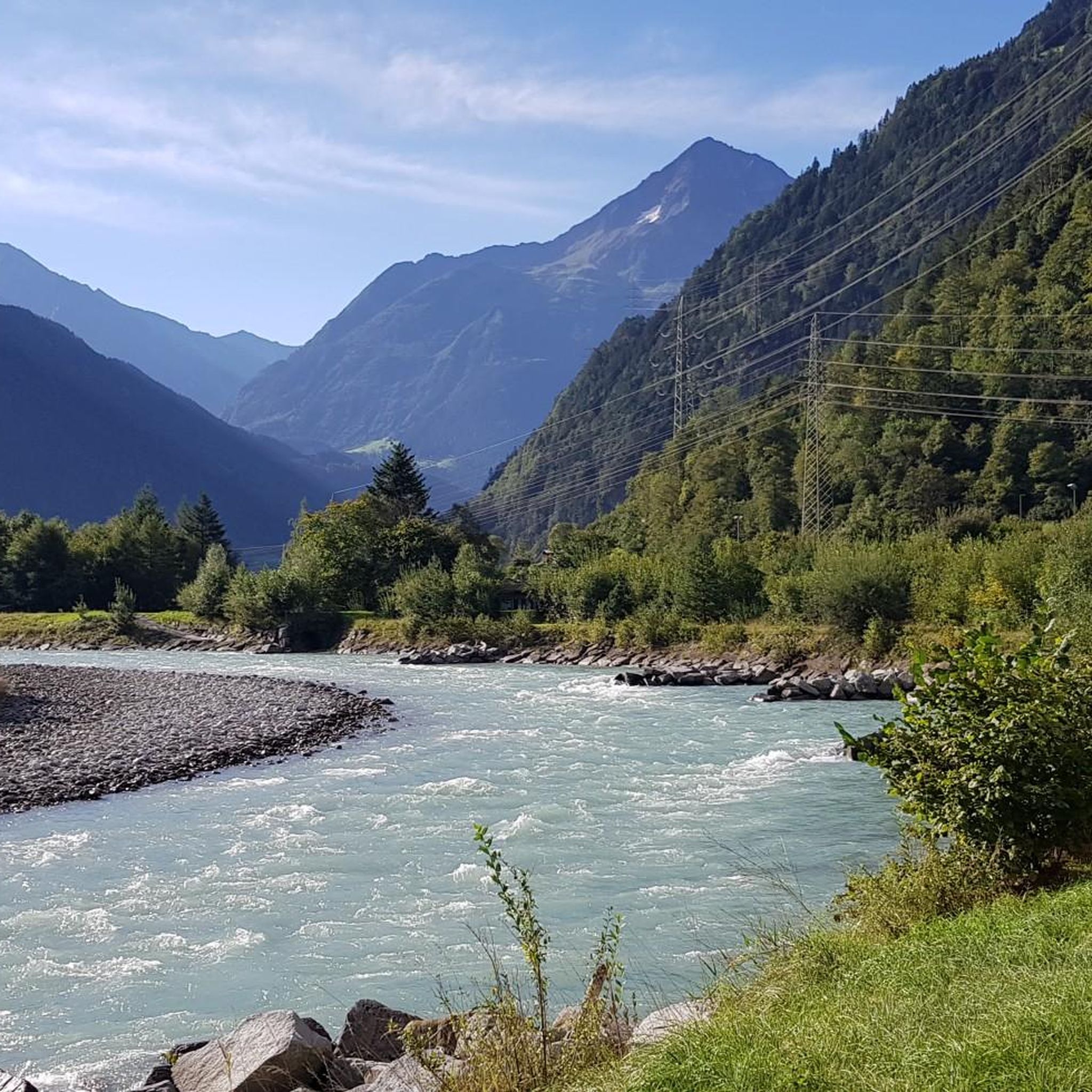
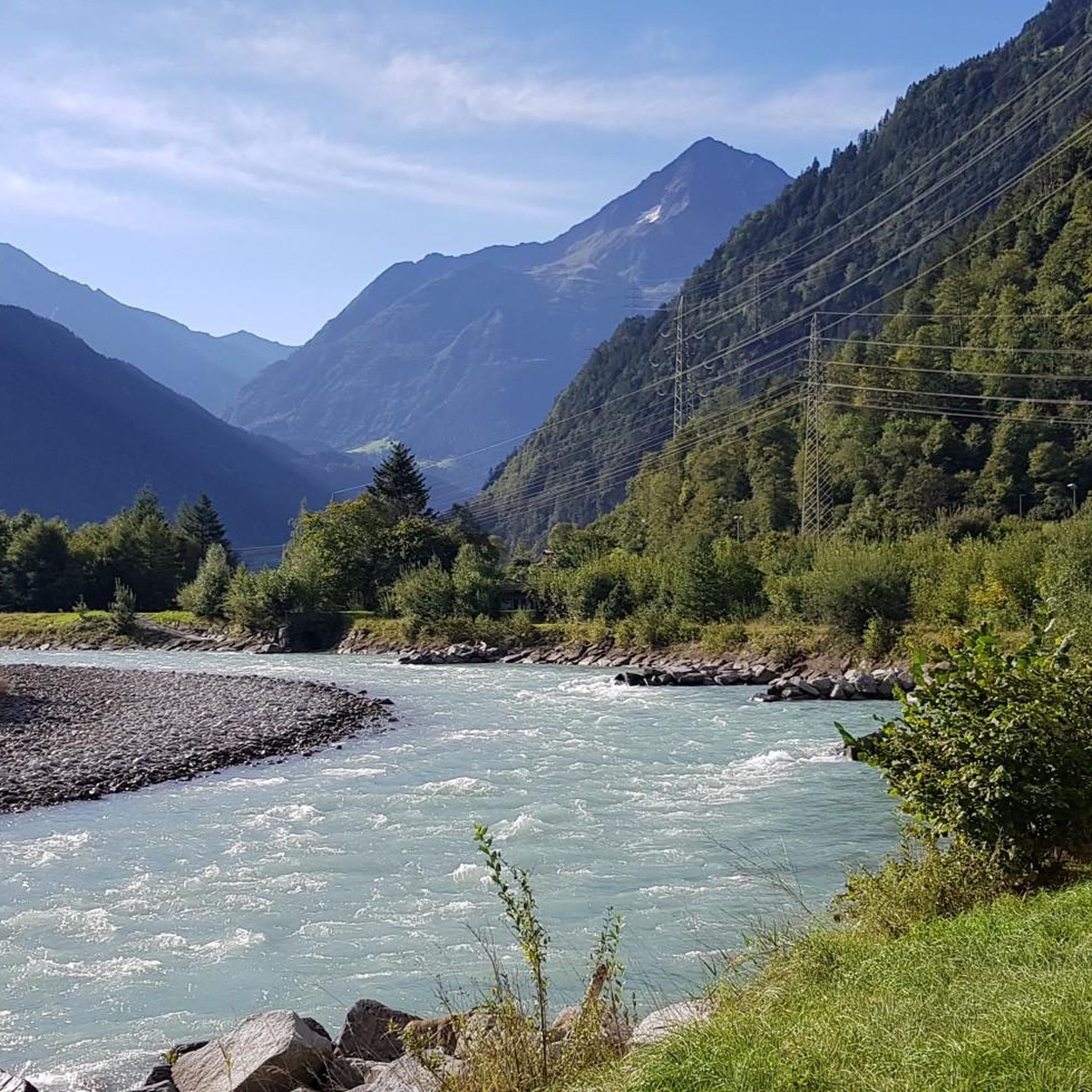
Shortly before Erstfeld you can enjoy this beautiful view of the Reuss.
0
0

On the wide ridge of the Bälmeten there are countless possibilities and enough space to make yourself comfortable in various places and to enjoy the wonderful view. The path from the Grätli point up to the Bälmeten is a blue/white marked path from which you have wonderful views. It first leads briefly over a scree field, then over meadow paths and cool rocky scramble spots, e.g. T. Rope insured, up to the Bälmeten. Sure-footedness and a head for heights are of course a must on the blue and white marked paths and dry conditions are recommended, but otherwise it is not extremely demanding, but cool. The red/white marked path over the Bälmeter Grätli is technically easy, but also a very nice and recommendable ascent or ascent and descent.
1
1
Frequently Asked Questions
How many hiking trails are available around Erstfeld?
Erstfeld offers a diverse network of over 20 hiking trails, catering to various skill levels. You'll find everything from easy river loops to challenging alpine ascents.
Are there any easy hiking trails suitable for beginners or families in Erstfeld?
Yes, Erstfeld has 12 easy trails perfect for beginners or families. A great option is the Reuss Suspension Bridge – The Reuss River loop from Erstfeld, which is about 3.5 km long and takes less than an hour to complete, offering pleasant views along the river.
What kind of landscapes can I expect to see while hiking in Erstfeld?
Hiking in Erstfeld immerses you in a stunning Alpine environment. You'll encounter the picturesque Reuss Valley, towering mountain peaks, expansive alpine meadows, and dramatic features like steep cliffs, glaciers, and waterfalls. Trails often ascend through forests, leading to magnificent panoramic viewpoints of the Alps.
Are there any circular hiking routes in Erstfeld?
Yes, many trails in Erstfeld are designed as loops. For an easy circular walk, consider the Hiking loop from Erstfeld, which is about 4.8 km long. For a more challenging experience, the Bälmeter Grätli – Bälmeten Summit loop from Erstfeld offers panoramic views from the summit.
Can I find trails with waterfalls around Erstfeld?
Absolutely! The region is known for its waterfalls. You can explore highlights like the Stäuber Waterfall or the Firnbach Waterfall. Some trails, particularly in the Erstfeld Valley, lead through areas rich with these natural wonders.
What are some notable attractions or landmarks to explore near Erstfeld's hiking trails?
Beyond the trails, you can visit the historic Gotthard Pass for breathtaking views or experience the dramatic Schöllenen Gorge and Devil's Bridge. For a unique experience, take a cable car to higher alpine regions, such as the one leading to the Erstfeld Valley, or visit the beautiful Arnisee (Lake Arni).
Are there any challenging or advanced hiking routes in Erstfeld?
Yes, Erstfeld offers 3 difficult trails for experienced hikers. A demanding option is From the Hofstetten-Wilerli mountain station to Lake Fulen, an 13.2 km path leading through alpine terrain. These routes often require good fitness and alpine experience.
What do other hikers say about the trails in Erstfeld?
The hiking routes in Erstfeld are highly rated by the komoot community, with an average score of 4.3 stars from nearly 100 reviews. Hikers often praise the diverse terrain, from easy river paths to challenging mountain ascents, and the stunning panoramic views of the Uri mountains.
Is it possible to access hiking areas in Erstfeld using public transport?
Erstfeld is well-connected, and public transport, particularly the train, is a convenient way to reach the village. Many trails, including a shorter 11-kilometer route to magnificent viewpoints, start directly from the Erstfeld train station, making it easy to begin your hike without a car.
Are there mountain huts or places to rest along the trails?
Yes, the region around Erstfeld features several mountain huts and facilities. You can find places like the Windgällen Hut or the Rugghubel Hut, which offer opportunities for rest or refreshments. The Fürenalp Cable Car and Mountain Restaurant also provides access to higher areas with amenities.
What is the best time of year to go hiking in Erstfeld?
The best time for hiking in Erstfeld is typically during the warmer months, from late spring to early autumn (May to October), when the alpine meadows are lush and the weather is most favorable for exploring the diverse terrain. Some higher alpine routes may still have snow early in the season.
Most popular attractions around Erstfeld

Get inspired with the komoot mobile app


Explore more
Browse the best Hikes in other regions.
