The best cycling routes around Murfreesboro
5.0
(3)
76
riders
6
rides
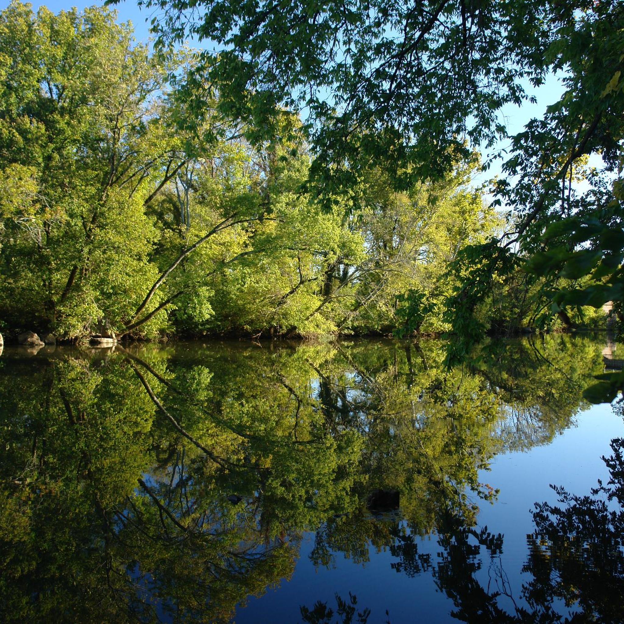
Touring cycling around Murfreesboro, Tennessee, is characterized by an extensive greenway system that integrates natural beauty with historical sites. The region features diverse natural environments, including lush riparian areas along the Stones River, hardwood forests, and unique cedar glade-like areas with limestone bottoms. Cyclists can explore rolling foothills and tranquil back roads that provide a varied backdrop for rides. The Murfreesboro Greenway System offers over 17 miles of trails, bridges, and boardwalks, connecting parks, neighborhoods, and historical landmarks.
Best touring…
Last updated: June 27, 2026
5.0
(2)
23
riders
Easy bike ride. Great for any fitness level. Mostly paved surfaces. Suitable for all skill levels.
20
riders
Easy bike ride. Great for any fitness level. Mostly paved surfaces. Suitable for all skill levels.

Sign up for free
5.0
(1)
12
riders
Easy bike ride. Great for any fitness level. Mostly paved surfaces. Suitable for all skill levels.
9
riders
Easy bike ride. Great for any fitness level. Mostly paved surfaces. Suitable for all skill levels.
11
riders
Easy bike ride. Great for any fitness level. Mostly paved surfaces. Suitable for all skill levels.
Our route recommendations are based on thousands of hikes, rides, and runs completed by other people on komoot.
Start today with a free account
Your next adventure awaits.
Login or Signup
Popular around Murfreesboro
Tips from the Community

The Murfreesboro Greenway System has over 17 miles of looping trails, bridges and boardwalks for enjoying Murfreesboro's beautiful natural riverside setting. Sixteen trailheads along the seven greenway sections provide access for hiking, walking, running, and bicycling.
0
0
The Murfreesboro Greenway System has over 17 miles of looping trails, bridges and boardwalks for enjoying Murfreesboro's beautiful natural riverside setting. Sixteen trailheads along the seven greenway sections provide access for hiking, walking, running, and bicycling.
0
0

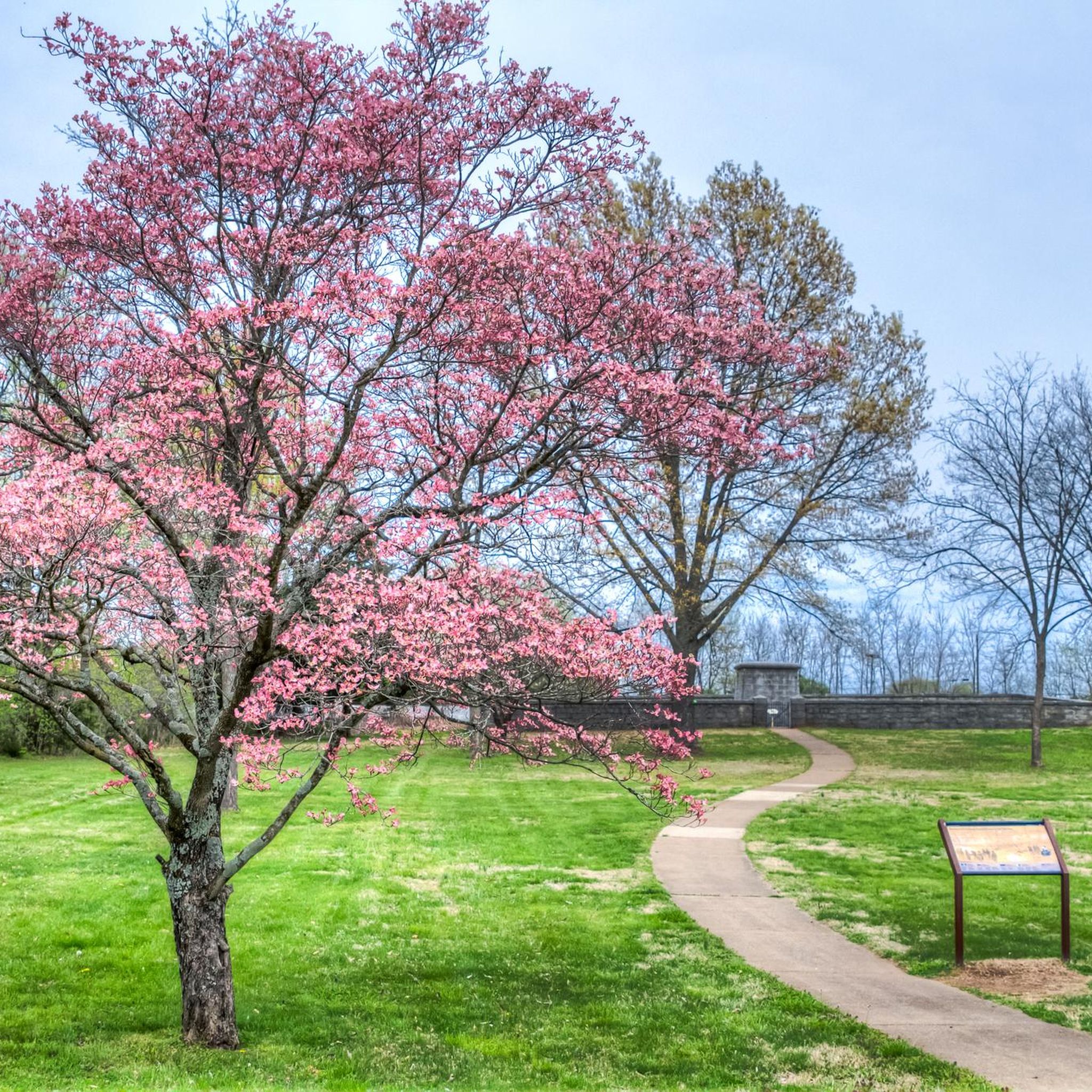
The Battle of Stones River started on December 31, 1862, ending on January 2, 1863, resulting in a crucial Union victory as they repelled a Confederate assault across Stones River. Today, the park keeps artillery pieces and monuments dedicated to the soldiers, alongside a cemetery and informative boards that detail the history of the site.
0
0
The Murfreesboro Greenway System has over 17 miles of looping trails, bridges and boardwalks for enjoying Murfreesboro's beautiful natural riverside setting. Sixteen trailheads along the seven greenway sections provide access for hiking, walking, running, and bicycling.
0
1

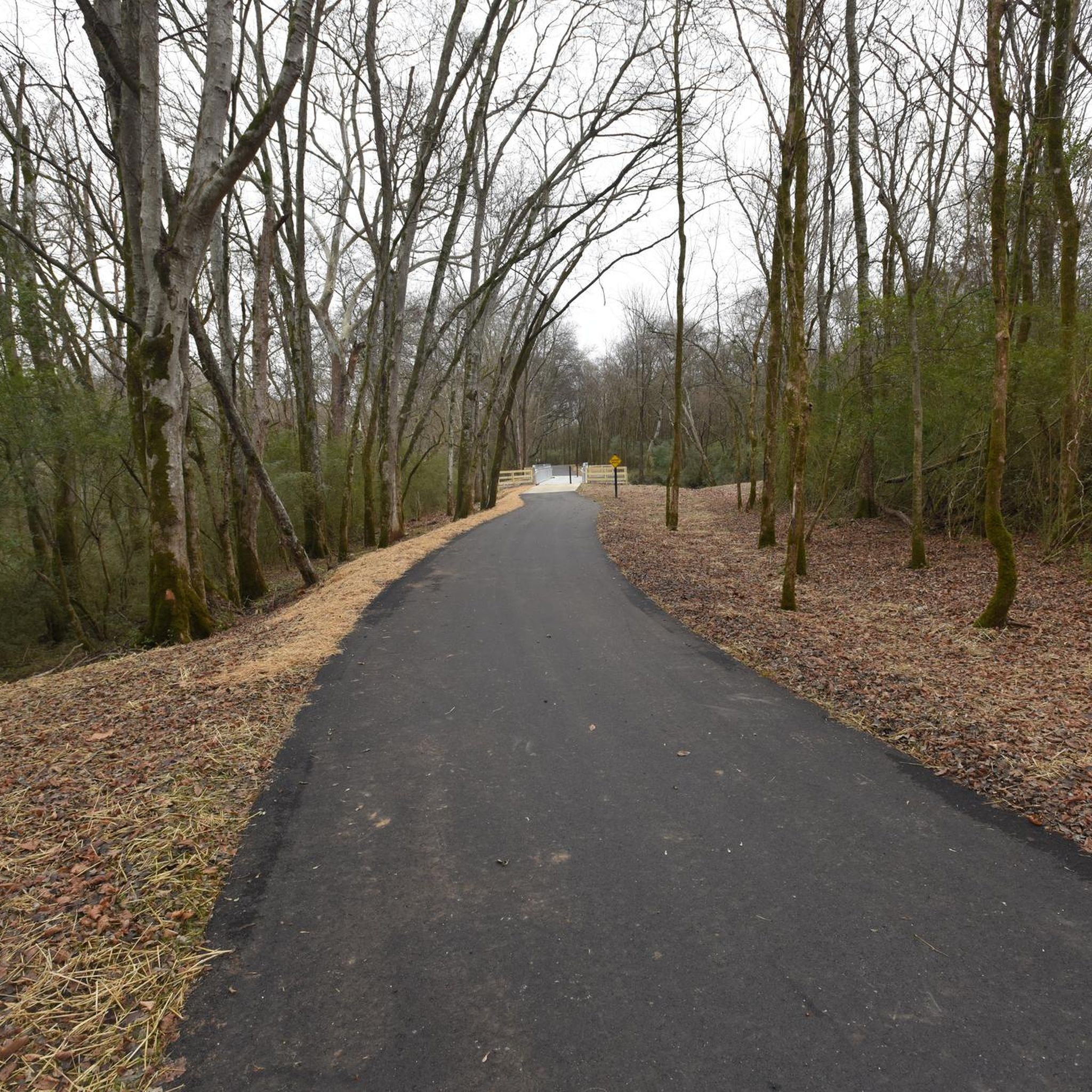
This section of the Murfreesboro Greenway is a portion of the 17 miles of paved multi-use trails that make up the Murfreesboro Greenway System.
0
0

The earthworks of this mighty fortress once covered more than 200 acres, which served as a vital forward supply base in 19th-century attempts to secure the rail town of Chattanooga, Tennessee. It's now preserved as part of Stone River National Battlefield.
0
0
The bloody Battle of Stones River began on the last day of 1862. It turned out to be one of the bloodiest battles of the entire Civil War. For three days 81,000 men fought here for the strategic possession of middle Tennessee. When it was over, nearly 24,000 casualties littered the fields. It was a union victory but a very hard won one. The visitor center has a museum, a film presentation about the battle and a bookstore. It is generally open 9am to 5pm throughout the year, except in the winter months when it closes at 4pm.
0
0
The Murfreesboro Greenway System has over 17 miles of looping trails, bridges and boardwalks for enjoying Murfreesboro's beautiful natural riverside setting. Sixteen trailheads along the seven greenway sections provide access for hiking, walking, running, and bicycling.
0
0
Frequently Asked Questions
What kind of terrain can I expect on touring cycling routes around Murfreesboro?
Murfreesboro offers a diverse cycling experience, primarily centered around its extensive greenway system. You'll find a mix of paved surfaces and varied terrains, including lush riparian areas along the Stones River and Lytle Creek, hardwood forests, and unique cedar glade-like environments with limestone bottoms. The broader region also features rolling foothills and tranquil back roads.
Are there any easy touring cycling routes suitable for beginners or families?
Yes, Murfreesboro is well-suited for beginners and families. Most of the routes listed on komoot are rated as easy. For example, the Murfreesboro Greenway – Murfreesboro Greenway loop from Stones River National Battlefield is an easy 17.3-mile route that traverses historical sites and offers scenic riverside views. Another great option is the Murfreesboro Greenway – Murfreesboro Greenway loop from Murfreesboro, which is 9.3 miles long and also rated easy.
Where can I find parking for the Murfreesboro bike trails?
The Murfreesboro Greenway System has multiple access points with parking. Many routes, such as those starting from Stones River National Battlefield, offer convenient parking. For detailed information on specific greenway sections and their access points, you can consult the official Murfreesboro Parks and Recreation website: Greenway Sections.
What are some notable landmarks or attractions I can see along the cycling routes?
Many routes integrate with historical and natural attractions. You can cycle through the Stones River National Battlefield, which offers a unique blend of nature and history. The greenway system also follows the West Fork Stones River, providing picturesque riverside views. Additionally, nearby Barfield Crescent Park offers opportunities for wildlife exploration.
Are there any circular touring cycling routes in Murfreesboro?
Yes, many of the touring cycling routes in Murfreesboro are designed as loops, allowing you to start and end at the same point. For example, the Murfreesboro Greenway – Fortress Rosecrans loop from Stones River National Battlefield is a 6.9-mile circular trail that takes you through historical sites. Another option is the Sterling Farmer Lake loop from Murfreesboro, an 18.2-mile path winding through diverse landscapes.
What is the best season for touring cycling in Murfreesboro?
Spring and Fall generally offer the most pleasant conditions for touring cycling in Murfreesboro, with mild temperatures and beautiful scenery. The diverse ecosystems, including hardwood forests and cedar glades, are particularly vibrant during these seasons. Summer can be hot and humid, while winter can bring colder temperatures, though many paved greenway sections remain accessible year-round.
Can I spot wildlife while cycling on the Murfreesboro trails?
Absolutely! The natural areas around Murfreesboro, especially along the greenway system and in parks like Barfield Crescent Park, are rich in wildlife. Cyclists often report seeing deer, rabbits, and various bird species. The unique cedar glade-like areas also host diverse plant life. For dedicated wildlife viewing, areas like Murfree Spring Wetlands are excellent for birdwatching.
What do other touring cyclists enjoy most about cycling in Murfreesboro?
The area is highly rated by the komoot community, with an average score of 5.0 stars. Reviewers often praise the extensive and well-maintained greenway system, the blend of natural beauty with historical significance, and the variety of routes suitable for different skill levels. The scenic riverside views along the Stones River are also frequently highlighted.
Are there any cafes or places to eat near the Murfreesboro bike trails?
While specific cafes directly on the greenway are limited, the Murfreesboro Greenway System is well-integrated with the city. Many sections are easily accessible from urban areas where you can find a variety of cafes, restaurants, and shops to refuel before or after your ride. Planning your route with a map can help identify nearby amenities.
How long does it typically take to bike the Murfreesboro Greenway?
The Murfreesboro Greenway System boasts over 17 miles of looping trails. The time it takes to bike depends on the specific section and your pace. For instance, the Murfreesboro Greenway – Murfreesboro Greenway loop from Stones River National Battlefield, which covers 17.3 miles, typically takes about 1 hour and 38 minutes to complete at a moderate touring pace.
Are the touring cycling routes in Murfreesboro dog-friendly?
Many sections of the Murfreesboro Greenway System are dog-friendly, provided dogs are kept on a leash. It's always best to check specific park rules or signage at trailheads. Remember to bring water for your dog and clean up after them to ensure a pleasant experience for all users.
What makes Murfreesboro a unique destination for touring cyclists?
Murfreesboro stands out due to its exceptional commitment to outdoor recreation, highlighted by its extensive and well-maintained greenway system. This system, combined with the region's diverse natural landscapes—including rivers, forests, and unique cedar glades—and its rich historical sites like the Stones River National Battlefield, offers a compelling and varied experience for touring cyclists of all abilities.
Most popular routes around Murfreesboro
Most popular attractions around Murfreesboro

Get inspired with the komoot mobile app


